Scenic Road Explorer
A road cycling route starting from Bischofferode
Embark on a scenic road cycling adventure through the beautiful landscapes surrounding Bischofferode, Thüringen.
Map
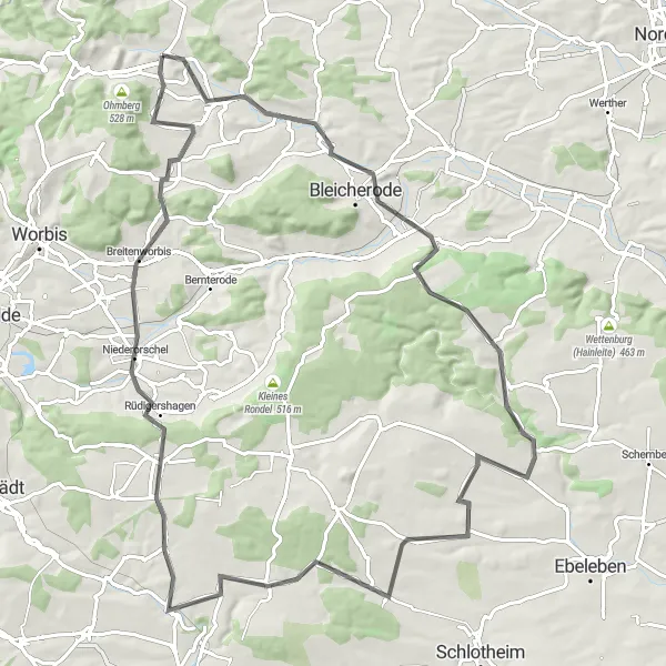
Discover the natural beauty and charming towns surrounding Bischofferode, Thüringen on this scenic road cycling route. The 89-kilometer journey showcases the region's diverse terrain and provides ample opportunities to enjoy stunning views. With a challenging ascent of 978 meters, this route is recommended for experienced cyclists looking to test their endurance and soak in the spectacular surroundings.
road
89 km
978 m
Tough
Route profile
Highlights on the route
0 km
0 km
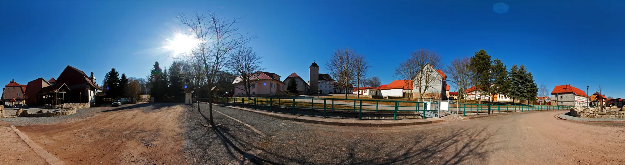
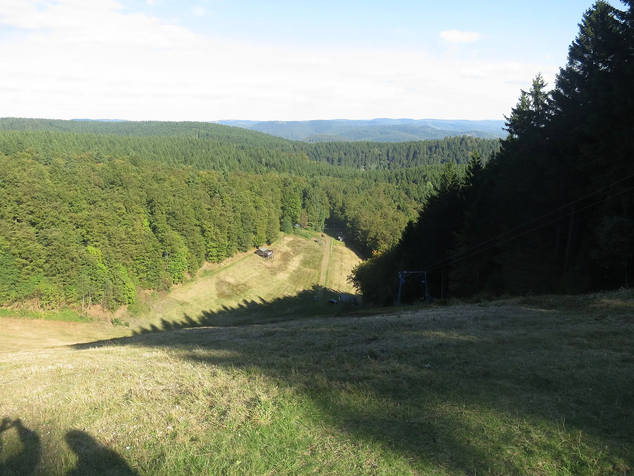
Start: Bischofferode Village centerBischofferode: Tranquil cycling amidst scenic forests and meadows in Bischofferode, Germany.
Bischofferode in Thüringen, Germany, is a suitable destination for road and gravel cyclists. The locality offers well-paved roads that wind through beautiful forests and meadows, providing an enjoyable and scenic cycling experience. While there aren't any famous cycling-related spots or renowned climbs in the immediate vicinity, Bischofferode's tranquil environment allows cyclists to enjoy peaceful rides. With its diverse terrain and picturesque landscape, Bischofferode offers pleasant cycling routes for all skill levels.6 km
6 km
Hardt334 mPeakClimb Hardt mountain and enjoy panoramic views of the surrounding countryside.
13 km
13 km
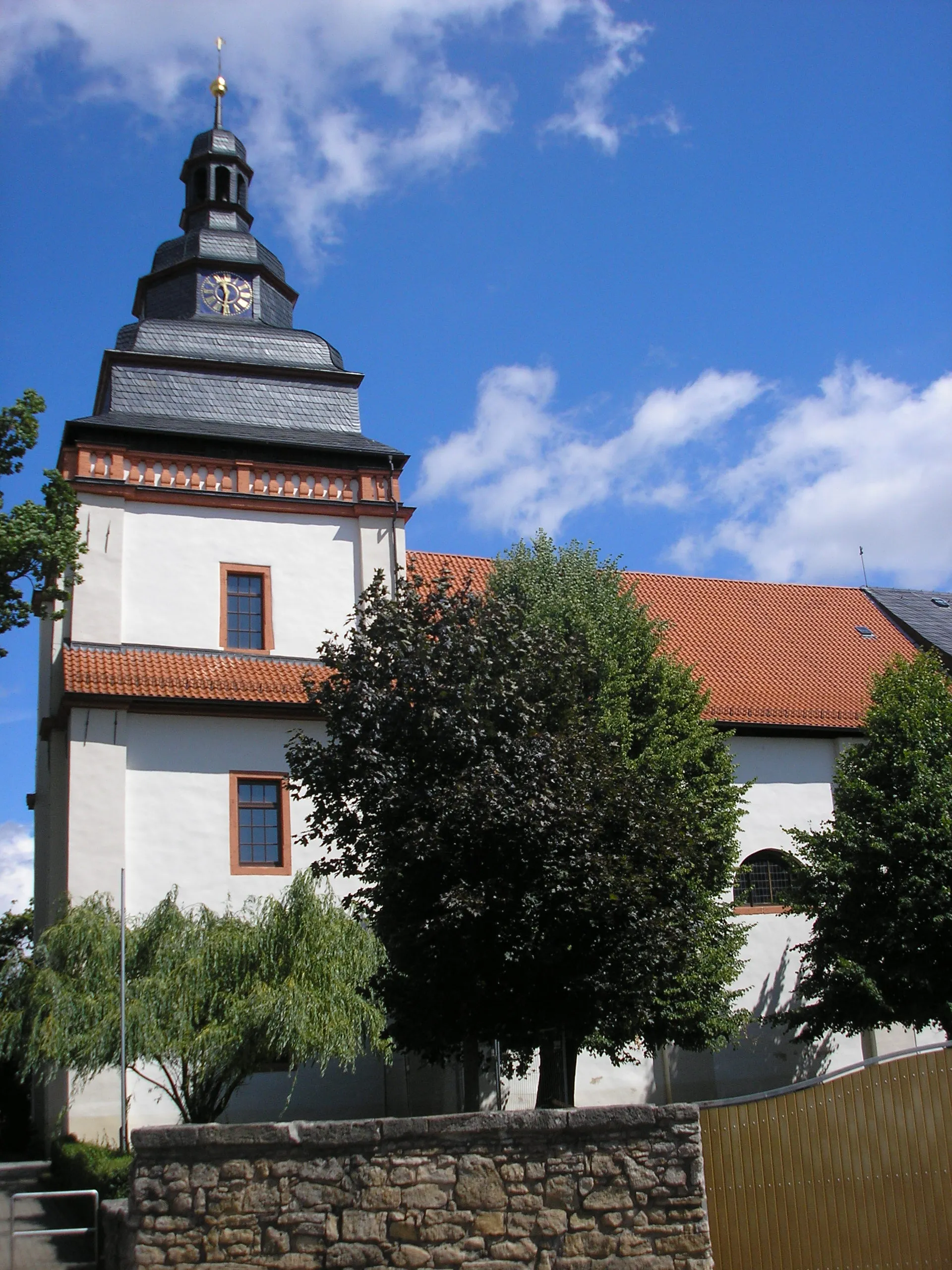
BleicherodeTownExplore the historic town of Bleicherode, known for its well-preserved medieval architecture.
23 km
23 km
Löhchen428 mPeakPass through the picturesque village of Löhchen, surrounded by rolling hills and charming farmland.
26 km
26 km
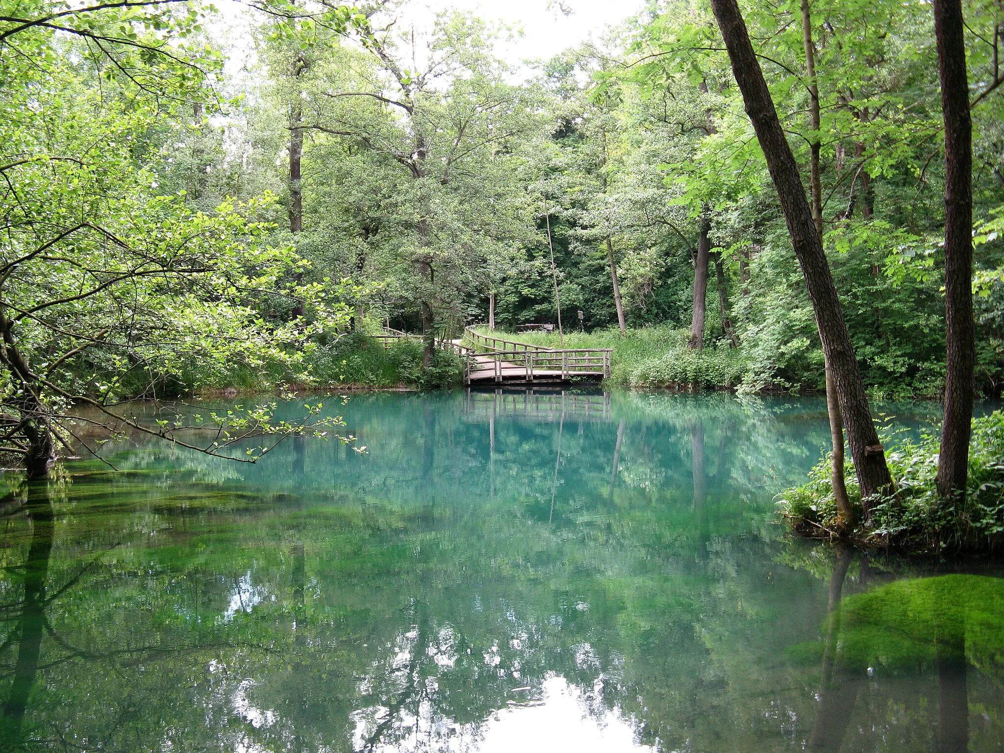
DietenbornVillage44 km
44 km
ObermehlerVillageVisit the captivating Obermehler castle, a testament to the region's rich history.
67 km
67 km
RüdigershagenVillageExperience the tranquility of Rüdigershagen, a charming village dotted with traditional half-timbered houses.
75 km
75 km
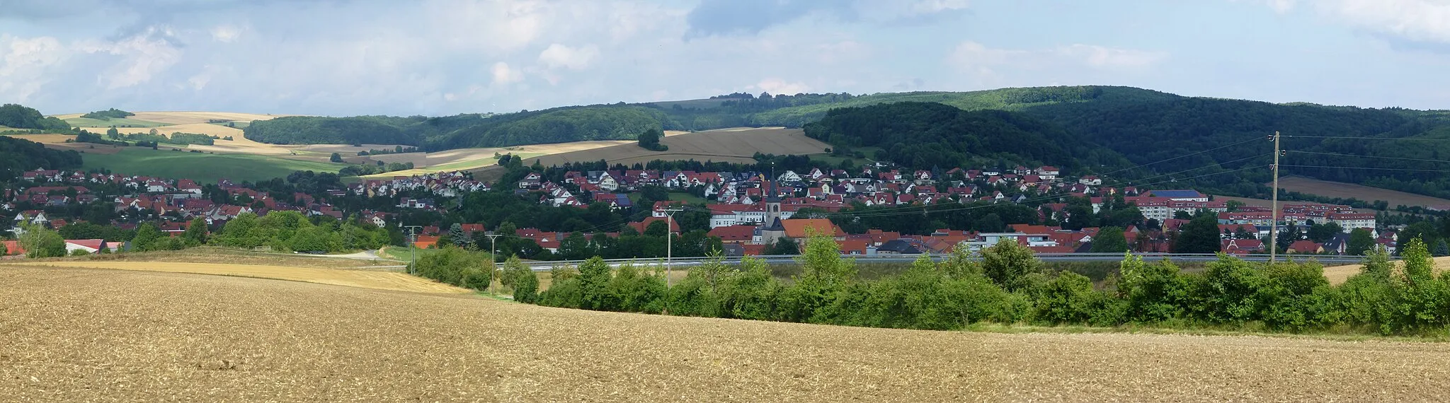
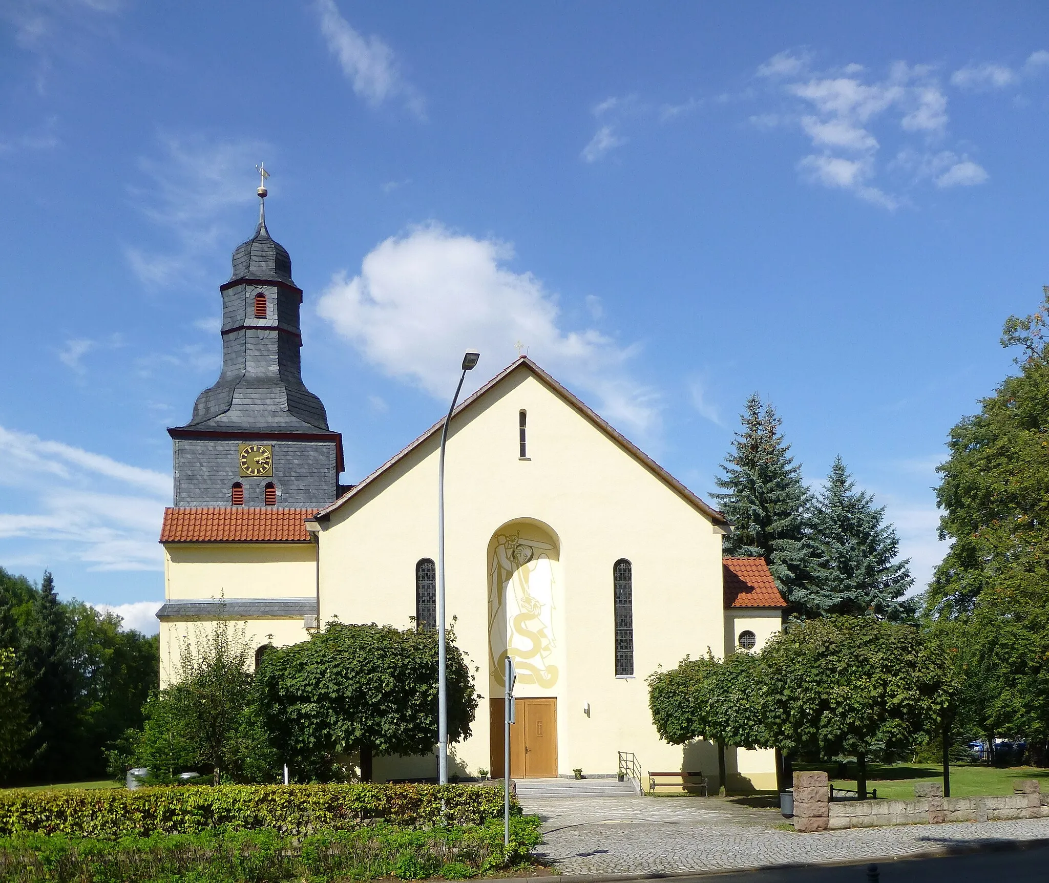
BreitenworbisVillageMake a stop in Breitenworbis and explore its beautiful churches and historic buildings.
88 km
88 km
Hühnerberg350 mPeakConquer the challenging Hühnerberg climb and enjoy breathtaking views from the summit.
89 km
89 km
Finish: Bischofferode Village centerBischofferode: Tranquil cycling amidst scenic forests and meadows in Bischofferode, Germany.
Cycling routes nearby: