The Hillside Road Challenge
A road cycling route starting from Breitenworbis
Conquer the uphill battle on this challenging road cycling route
Map
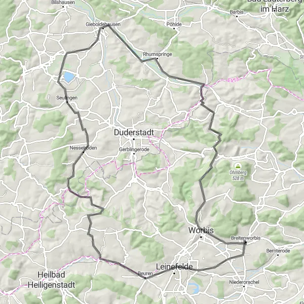
Prepare for an exhilarating 91-kilometer road cycling challenge with a total ascent of 912 meters. This route is recommended for experienced cyclists seeking an adrenaline rush. Immerse yourself in the diverse landscapes of Thüringen as you pedal through charming villages and conquer exciting climbs.
road
91 km
912 m
Savage
Route profile
Highlights on the route
0 km
0 km
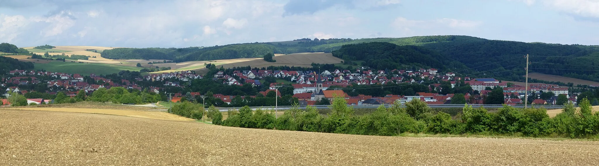
Start: Breitenworbis Village centerBreitenworbis: Pursue your passion for cycling amidst the medieval charm and natural wonders of Thüringen.
Breitenworbis is a charming town located in the Thüringen region of Germany. From a cyclist's perspective, Breitenworbis offers a mix of rolling countryside roads and gravel paths to explore. The region is known for its rich history, with numerous castles and historical sites dotting the landscape. Cyclists can venture into the Harz Mountains, which provide both challenging climbs and scenic views. Breitenworbis also hosts the annual Tour de Thüringen, a renowned multi-stage cycling race. With its cycling-friendly atmosphere and diverse terrain, Breitenworbis is an ideal destination for road and gravel cyclists.4 km
4 km
Breitenholzer Berg345 mPeakBreitenholzer Berg, 4 kilometers into the route, attracts cyclists with its stunning panoramic views of the surrounding countryside.
16 km
16 km
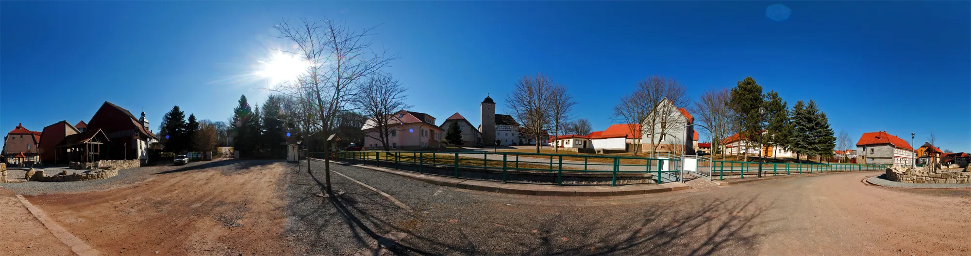
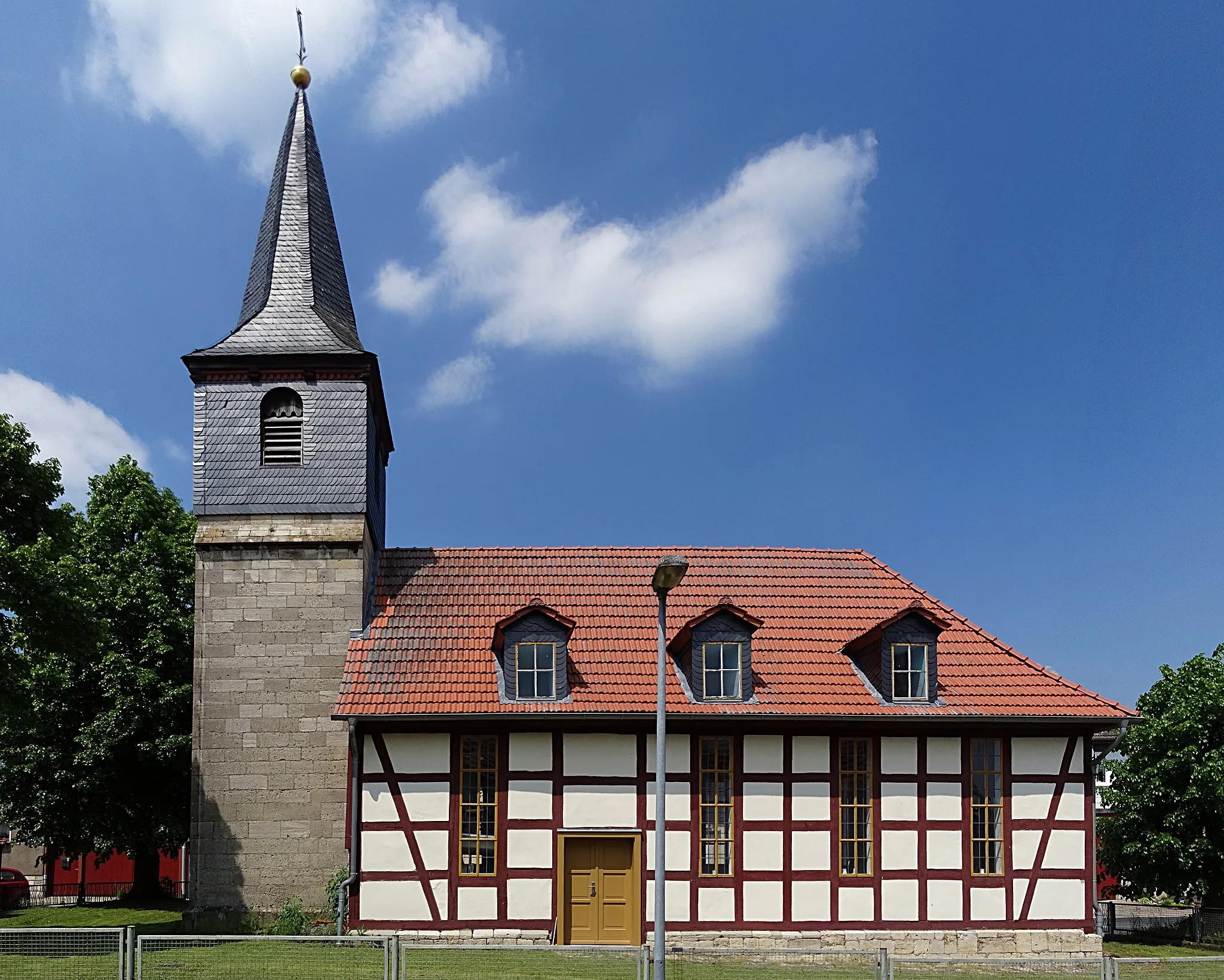
WingerodeVillageWingerode, 16 kilometers into the route, is a quaint town famous for its medieval architecture and cultural events.
30 km
30 km
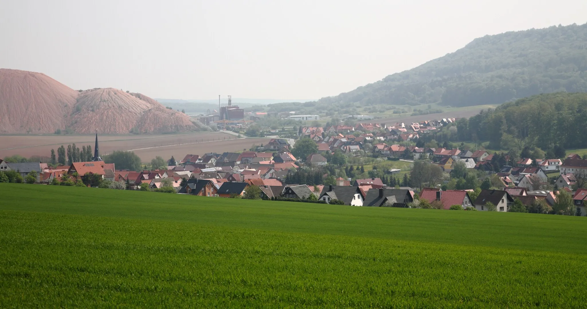
EtzenbornVillageEtzenborn, 30 kilometers into the route, offers a scenic respite with its tranquil lakes and lush green meadows.
37 km
37 km
Osterberg232 mPeakOsterberg, 37 kilometers into the route, boasts magnificent views that make the challenging climb worthwhile.
45 km
45 km
Steinberg201 mPeakSteinberg, 45 kilometers into the route, is a popular spot for cyclists due to its panoramic vistas and historical landmarks.
60 km
60 km
RhumspringeVillageRhumspringe, 60 kilometers into the route, entices cyclists with its thermal baths and charming streets lined with timber-framed houses.
72 km
72 km
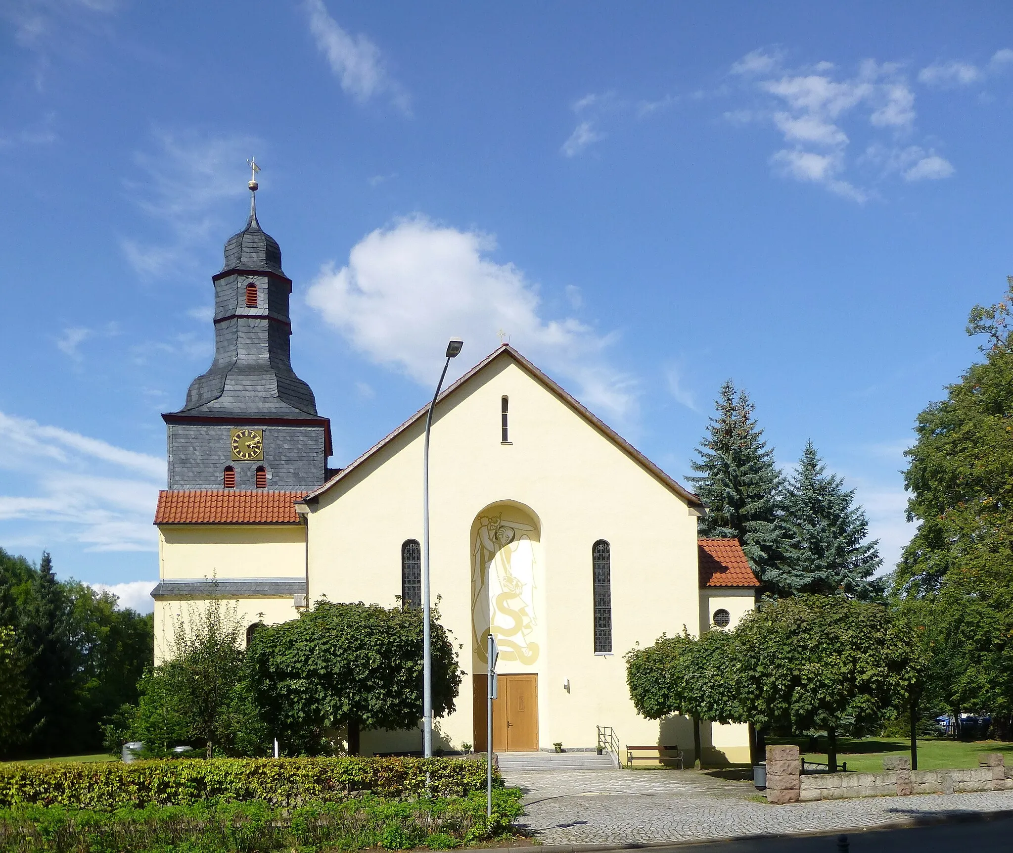
JützenbachVillageJützenbach, 72 kilometers into the route, welcomes cyclists with its picturesque countryside and traditional German atmosphere.
76 km
76 km
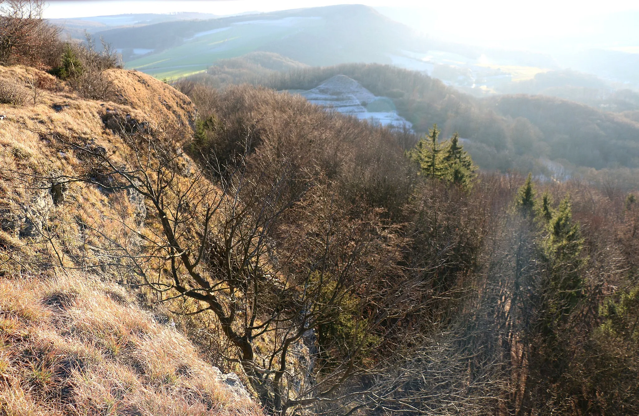
Sonnenstein485 mViewpointSonnenstein, 76 kilometers into the route, is home to a medieval castle that offers impressive views of the surrounding area.
84 km
84 km
Kanstein435 mViewpointKanstein, 84 kilometers into the route, provides a thrilling ascent rewarded with breathtaking vistas of the Thüringen countryside.
88 km
88 km
KirchworbisVillageKirchworbis, 88 kilometers into the route, is a charming village known for its well-preserved half-timbered houses and tranquil atmosphere.
91 km
91 km
Finish: Breitenworbis Village centerBreitenworbis: Pursue your passion for cycling amidst the medieval charm and natural wonders of Thüringen.
Cycling routes from Breitenworbis:
Breitenworbis - Hausen - Beuren - Vierkirchenblick - Göttingen - Weinberg - Nörten-Hardenberg - Alte Burg - Bilshausen - Sulbergwarte - Duderstadt - Kanstein - Kirchworbis - Breitenworbis The Holungen Gravel Adventure The Panoramic Road Journey The Hillside Road Challenge Breitenworbis - Hausen - Alte Burg - Büttstedt - Heuthen - Klien - Kirchworbis - Breitenworbis Journey to the Heinrichsberg Harz Adventure Gravel Adventure in the Hinterland Eichfeld Explorer Exploring the Uncharted Goldkopf Hügelkreuzrunde
Cycling routes nearby: