Crawinkel and the Peaks of Thuringia
A gravel cycling route starting from Crawinkel
Experience the dramatic landscapes of Thuringia on this gravel bike adventure.
Map
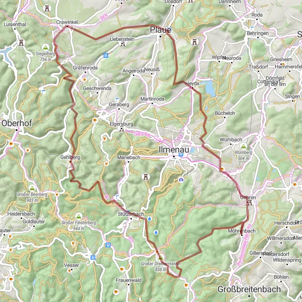
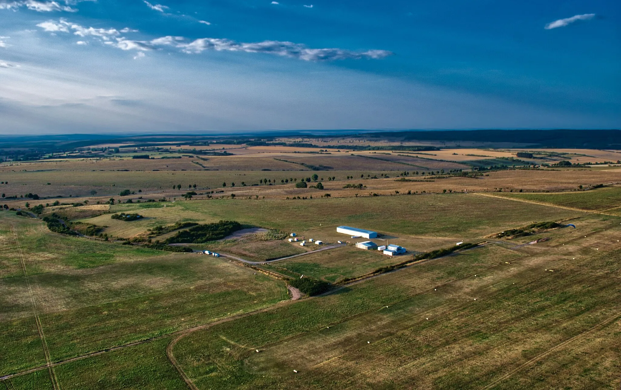
This scenic gravel route takes you through the beautiful landscapes of Thuringia, starting from Crawinkel. With a total ascent of 1525 meters and a distance of 78 kilometers, this challenging route offers stunning views and memorable highlights along the way. The route is best suited for experienced cyclists familiar with off-road cycling.
gravel
78 km
1525 m
Tough
Route profile
Highlights on the route
0 km
0 km
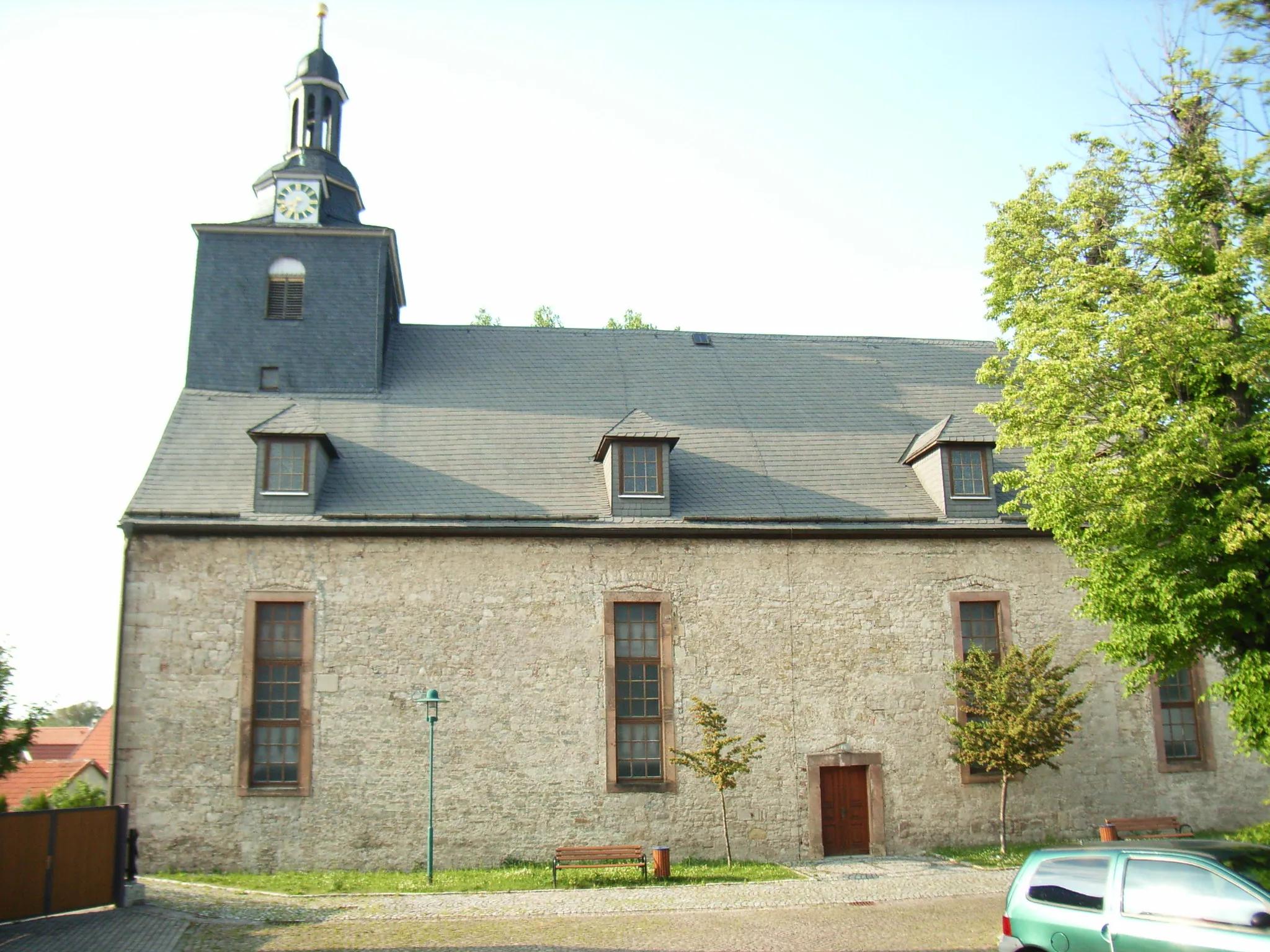
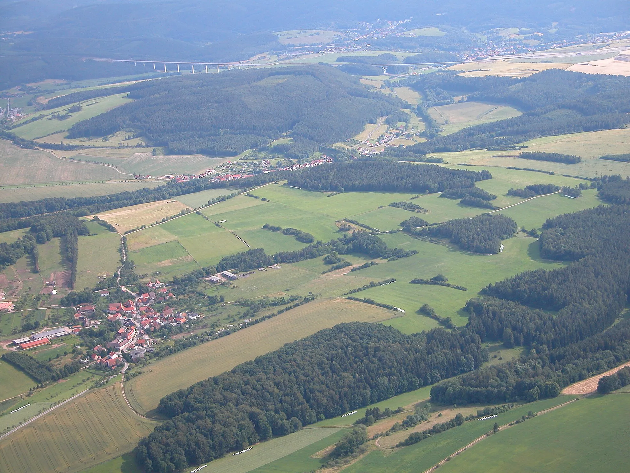
Start: Crawinkel Village centerCrawinkel: Embracing stunning landscapes and challenging climbs in Crawinkel.
Crawinkel is a small village nestled in the Thüringen region of Germany. It is surrounded by stunning landscapes, with quaint villages and rolling hills. The area offers a range of cycling routes suitable for all abilities. Road cyclists will appreciate the well-maintained roads and challenging climbs in the region, while gravel cyclists can explore the numerous forest trails and gravel paths. Crawinkel is also close to the Rennsteig, a popular long-distance hiking trail that is now becoming popular amongst cyclists.0 km
0 km
CrawinkelVillageCrawinkel is the charming starting point for this epic gravel ride. Enjoy the picturesque village before tackling the scenic peaks of Thuringia.
15 km
15 km
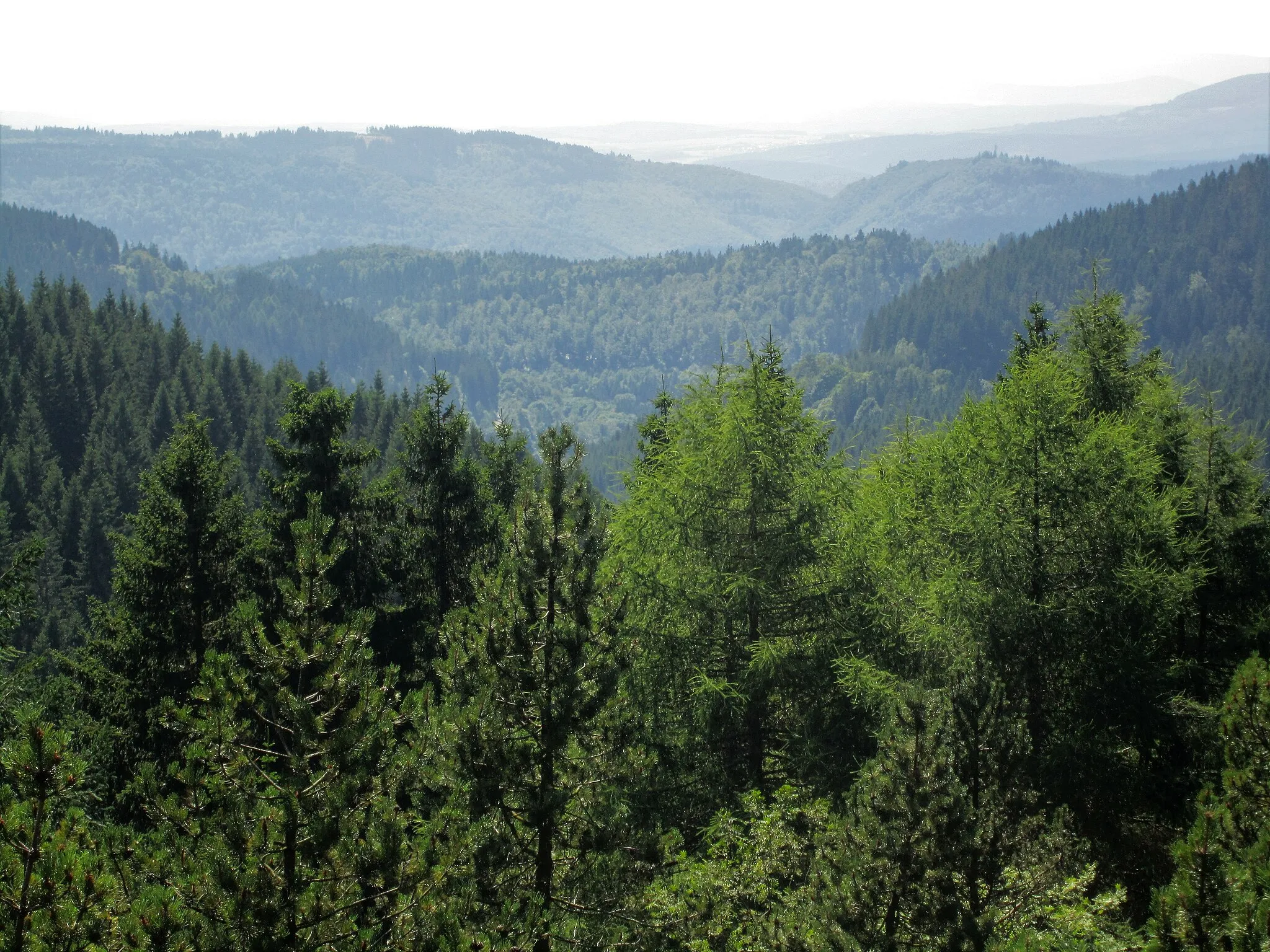
Heydaer Berg576 mPeakHeydaer Berg offers a challenging climb with rewarding panoramic views of the surrounding landscape.
23 km
23 km
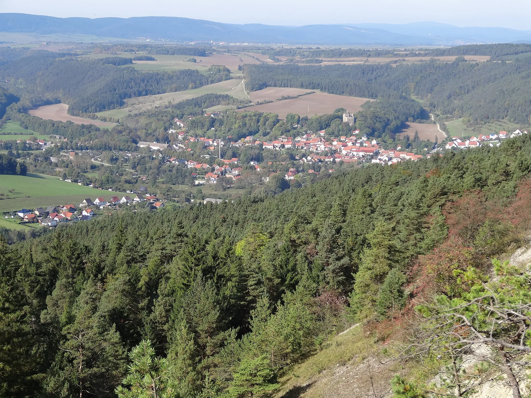
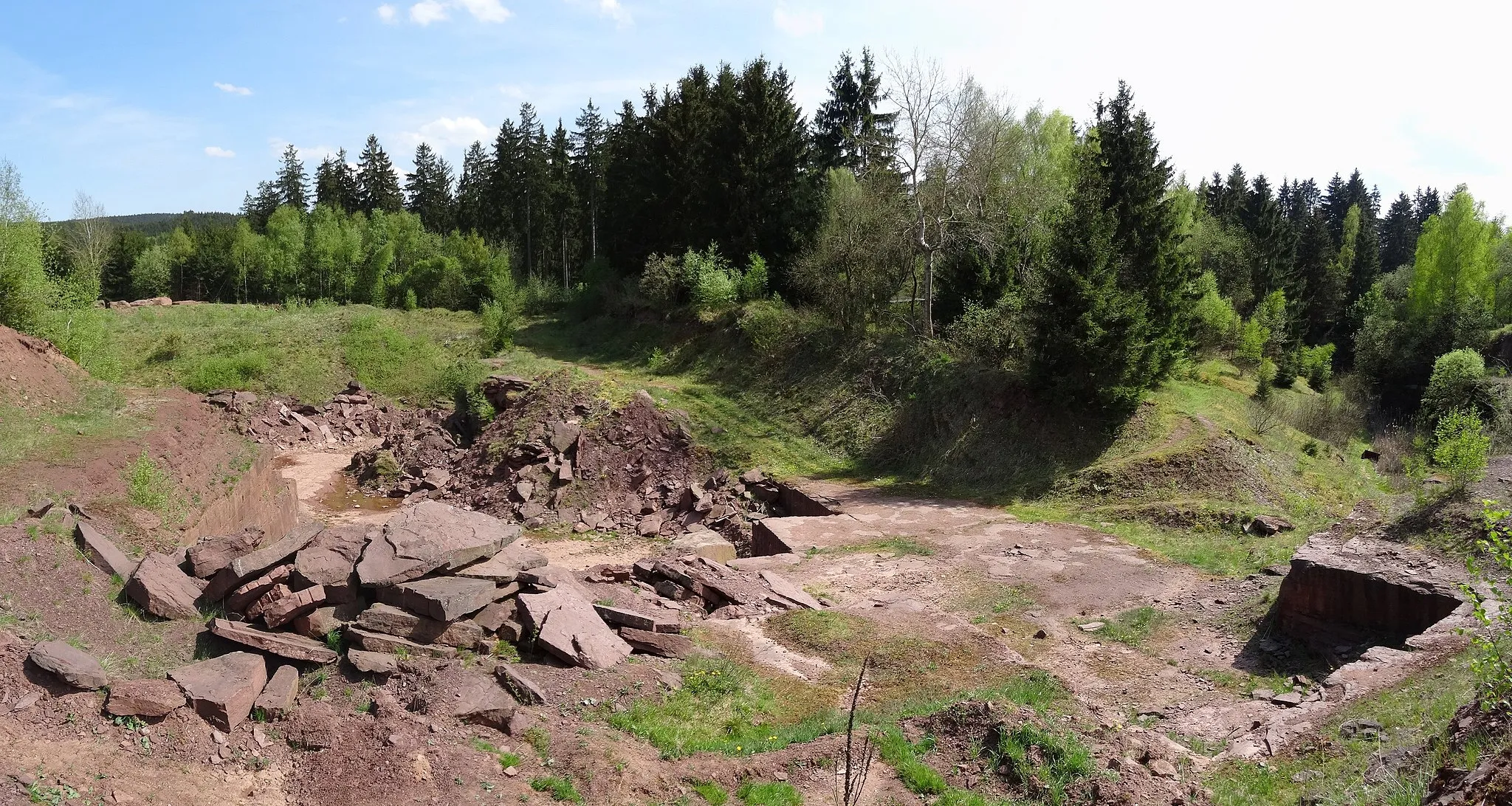
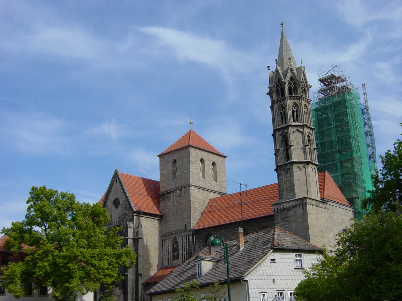
Ehrenberg528 mPeakStop at the historic Ehrenberg Castle ruins and immerse yourself in the rich history of the region.
29 km
29 km
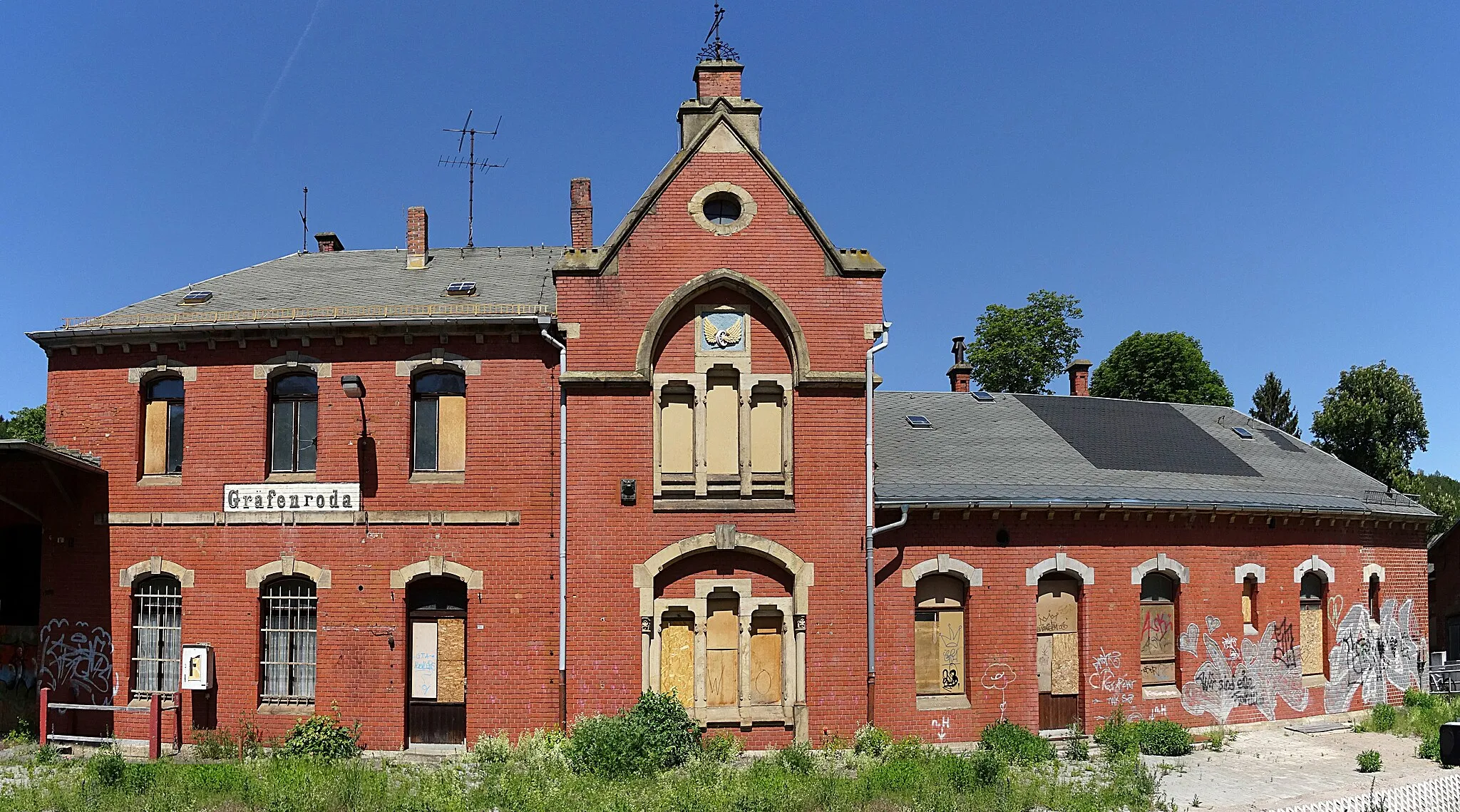
GehrenVillageGehren is a quaint town with a charming market square. Take a break here and explore the local architecture and culture.
46 km
46 km
Großer Dreiherrnstein838 mPeakGroßer Dreiherrnstein is the highest peak in Thuringia, offering breathtaking vistas of the surrounding mountains and valleys.
51 km
51 km
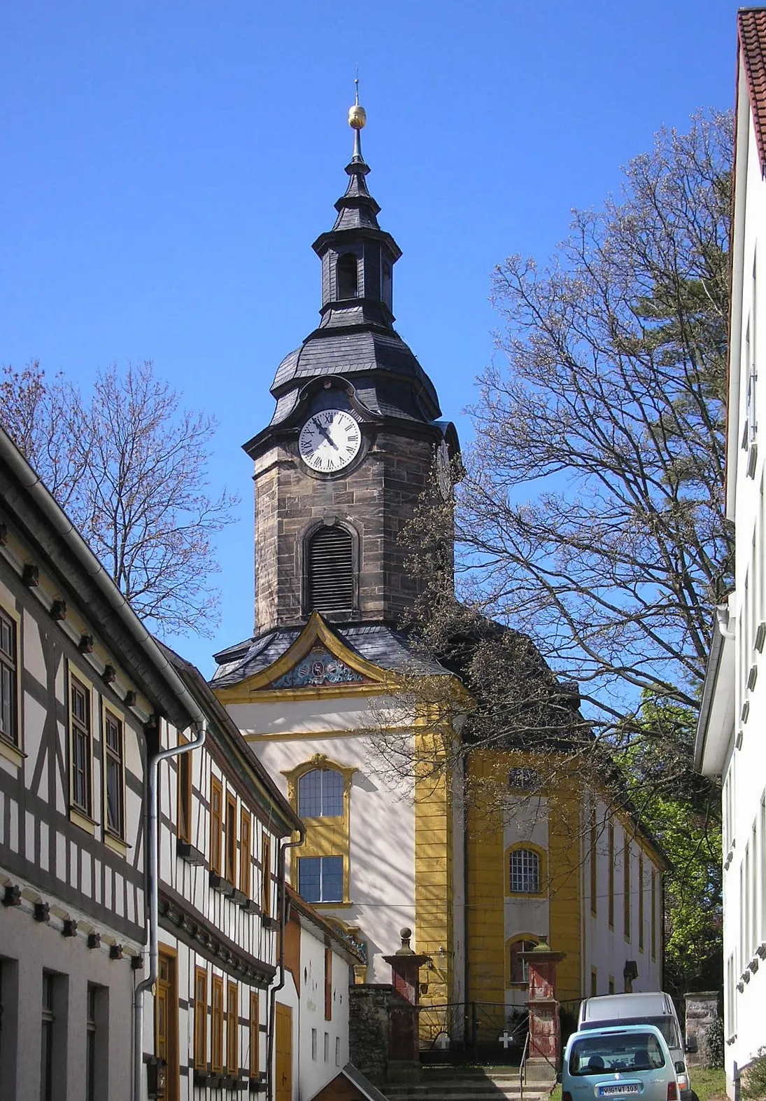
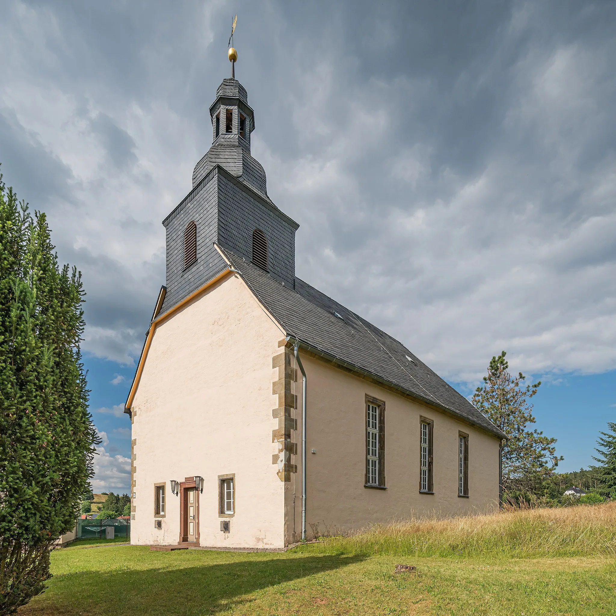
StützerbachVillagePass through Stützerbach and its charming timber-framed houses. This traditional village is a living testament to Thuringia's rich heritage.
74 km
74 km
FrankenhainVillageFrankenhain is a small village surrounded by lush greenery. Enjoy the serene atmosphere before continuing your adventurous journey.
75 km
75 km
Eisenberg712 mPeakEisenberg is known for its imposing castle ruins and offers a historical and scenic pit stop during your ride.
78 km
78 km
Finish: Crawinkel Village centerCrawinkel: Embracing stunning landscapes and challenging climbs in Crawinkel.
Cycling routes from Crawinkel:
Cycling routes nearby: