Krayenberg to Leimbach Gravel Route
A gravel cycling route starting from Dorndorf
Escape into the scenic countryside with this gravel route through Krayenberg and Leimbach.
Map
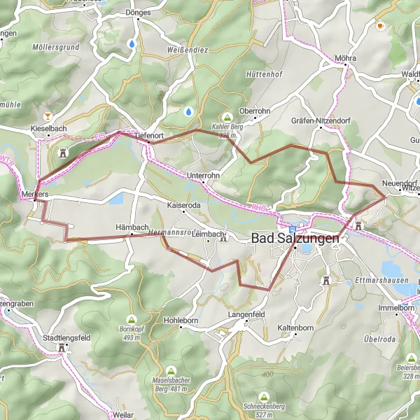
This gravel route takes you through the serene landscapes of Dorndorf, Thüringen, providing a perfect escape from the hustle and bustle of city life. With an ascent of 471 meters and a distance of 30 kilometers, it offers a moderately challenging ride for gravel enthusiasts. The highlights of this route include Krayenberg, known for its historical significance and beautiful views, Tiefenort with its charming town center, Hohleberg, an impressive geological formation, and Bad Salzungen, a spa town known for its therapeutic salt baths. Leimbach, the final highlight, will captivate you with its idyllic setting and picturesque surroundings.
gravel
30 km
471 m
Tough
Route profile
Highlights on the route
0 km
0 km
Start: Merkers Village centerDorndorf: Cycling paradise in Thüringen with access to the Thuringian Forest
Dorndorf is a small town located in the Thüringen region of Germany. As a road and gravel cyclist, you can expect to find some scenic routes in the surrounding area. The roads are generally well-maintained and offer a mix of flat sections and rolling hills, making it suitable for cyclists of varying abilities. One of the highlights of cycling in Dorndorf is the proximity to the Thuringian Forest, which offers beautiful landscapes and challenging climbs. With its charming countryside and access to great cycling routes, Dorndorf is a cyclist's paradise.1 km
1 km
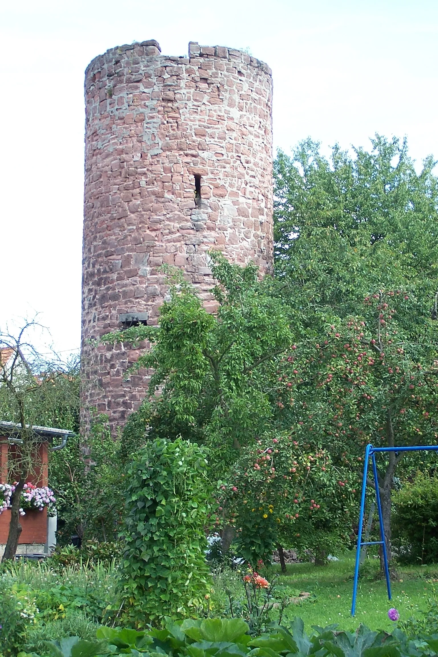
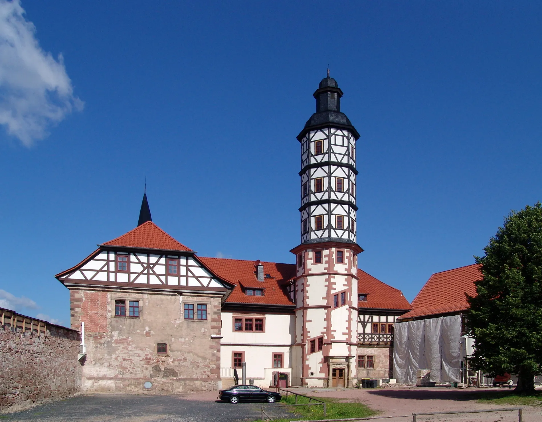
Krayenberg428 mPeakKrayenberg offers stunning panoramic views from its summit.
4 km
4 km
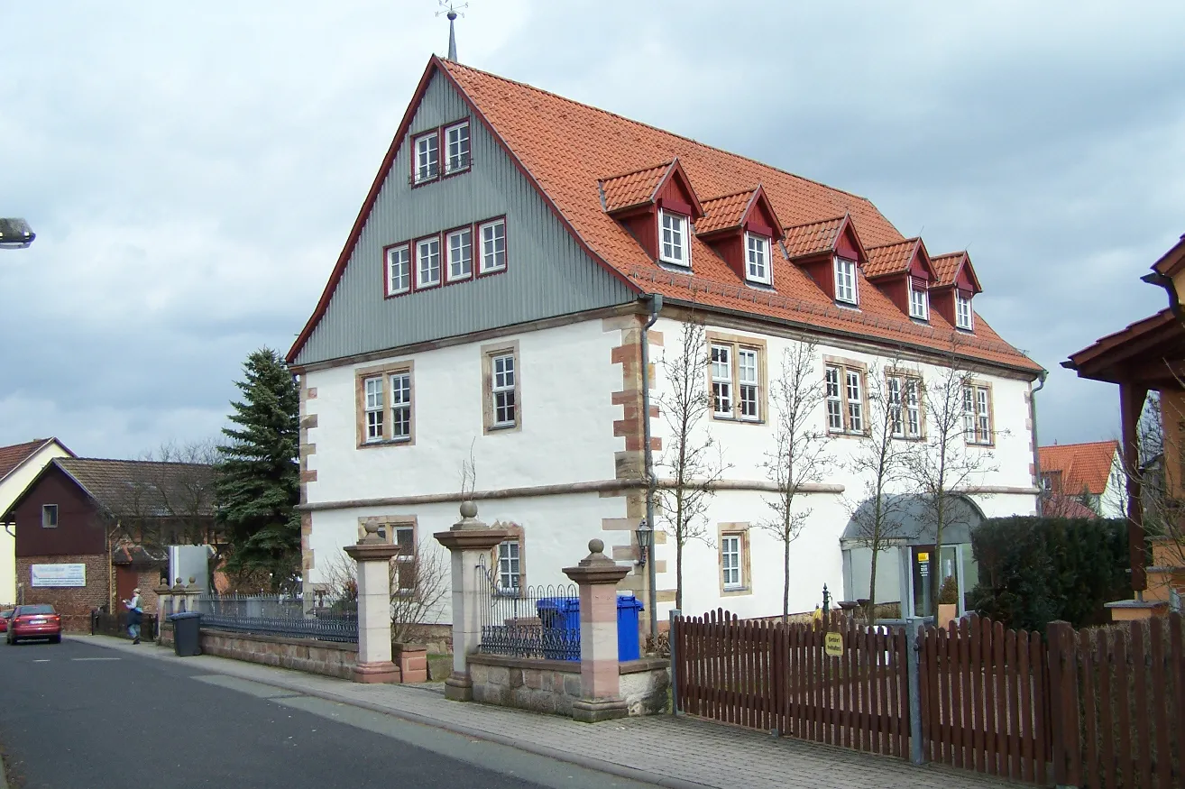
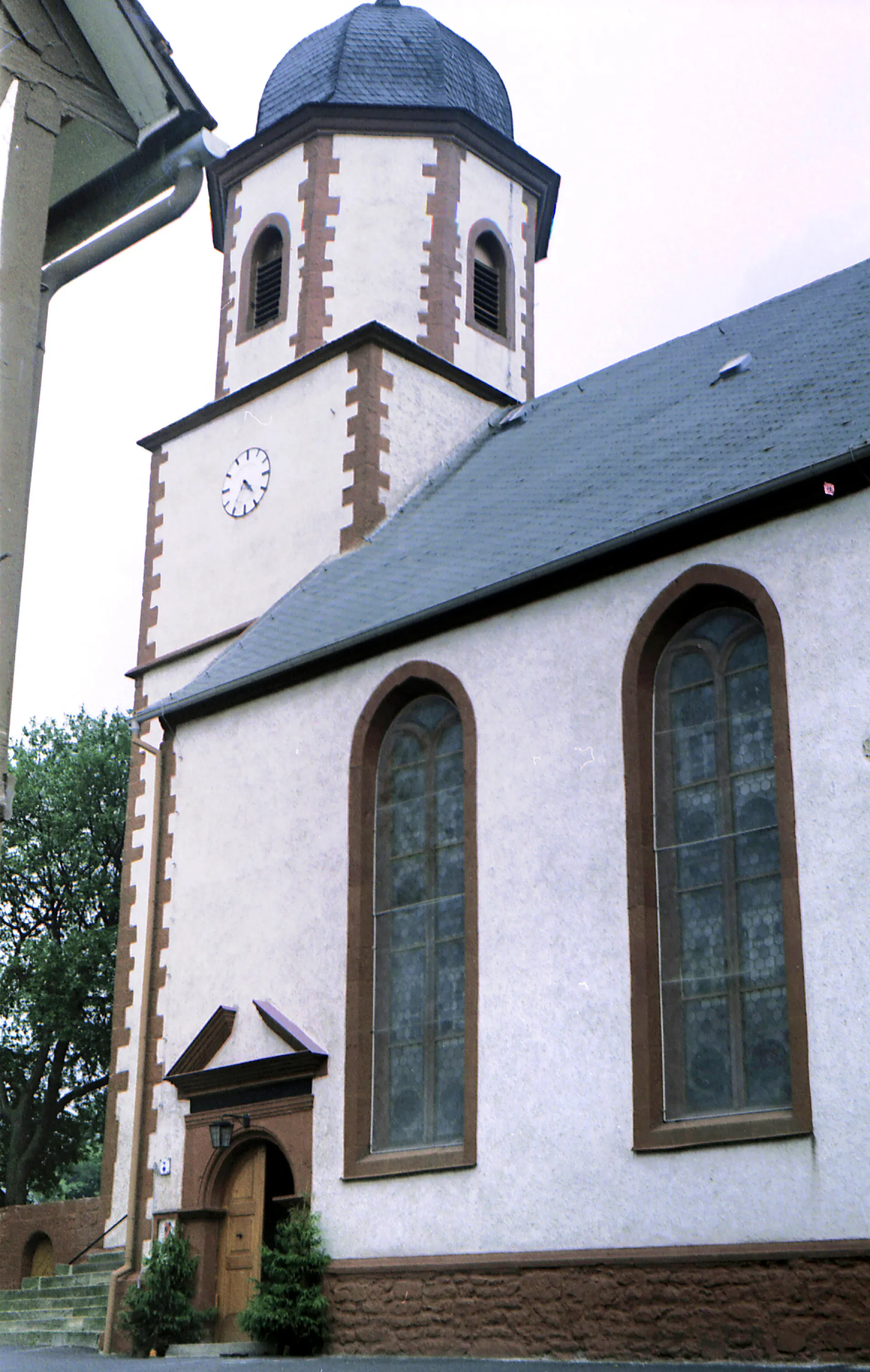
TiefenortVillageTiefenort is a quaint village with a historic marketplace and charming architecture.
13 km
13 km
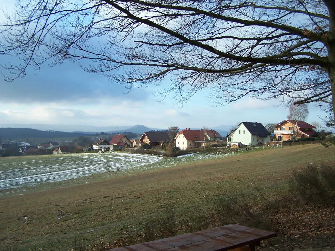
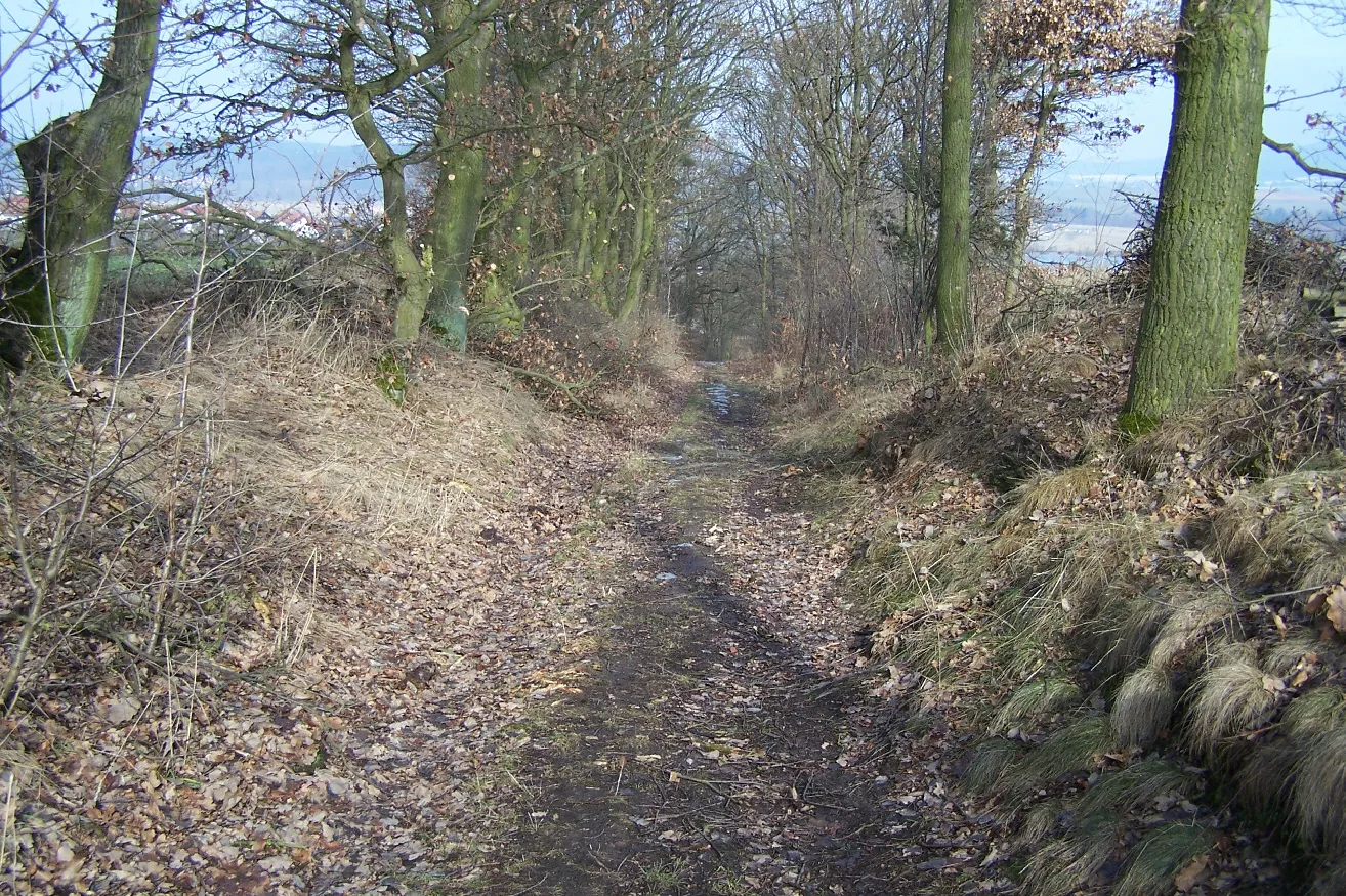
Hohleberg367 mPeakHohleberg is a unique geological formation that adds an interesting element to the ride.
17 km
17 km
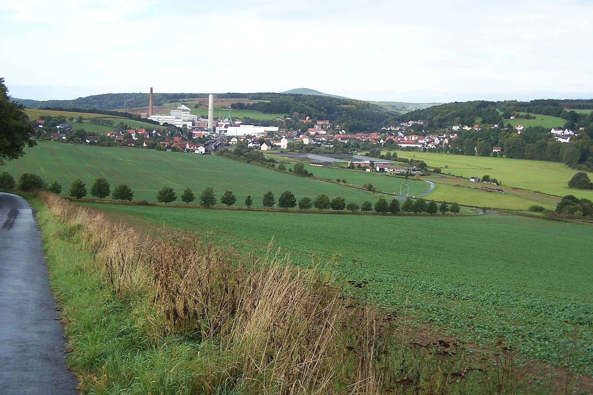
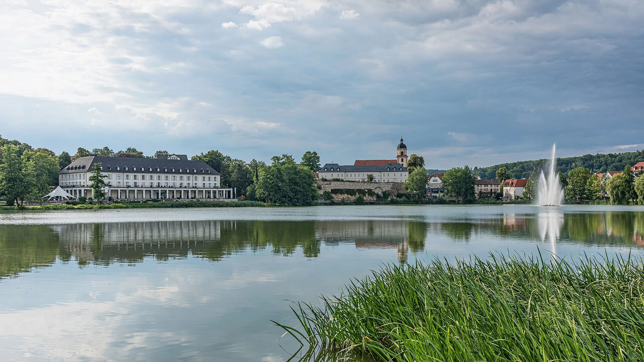
Bad SalzungenTownBad Salzungen is a spa town renowned for its therapeutic salt baths.
23 km
23 km
LeimbachVillageLeimbach is a picturesque village surrounded by natural beauty.
30 km
30 km
Finish: Merkers Village centerDorndorf: Cycling paradise in Thüringen with access to the Thuringian Forest
Cycling routes from Dorndorf:
Krayenberg to Leimbach Gravel Route Road Cycling Adventure from Dorndorf Challenging Road Ride from Dorndorf Journey through Nature: The Gravel Adventure Extreme Gravel Challenge: Dorndorf to Merkers Waldeck Loop Werra Valley Ride Unterzella to Frauensee Road Route Vacha to Philippsthal Gravel Route Iconic Hills and Historic Sites
Cycling routes nearby: