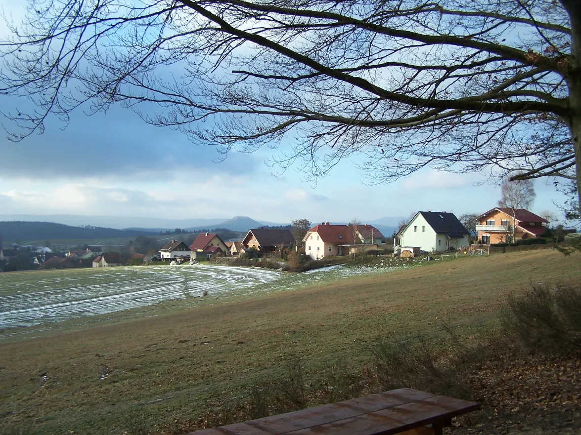
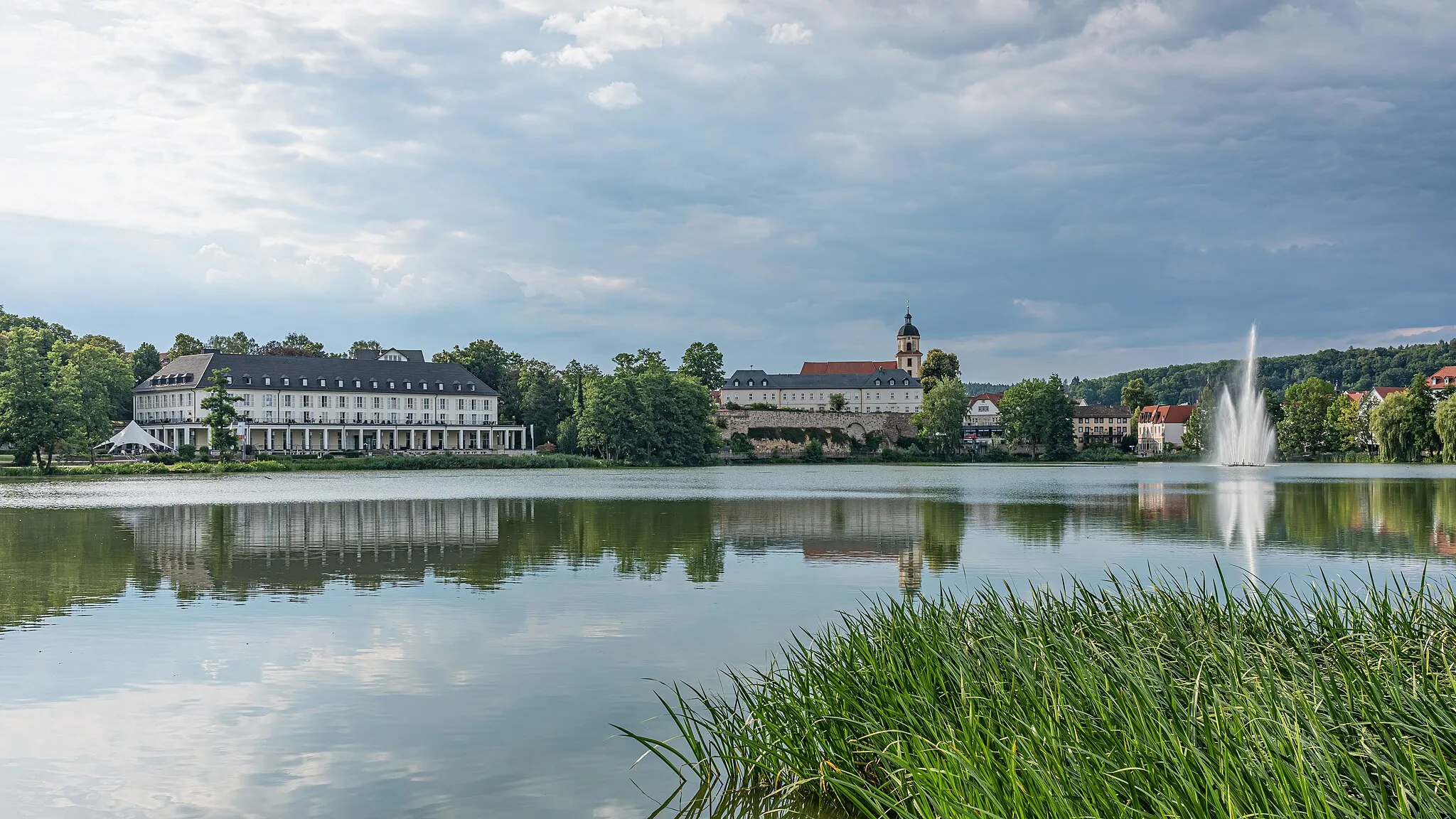
Cycling heaven in the heart of Thüringen.
Cycling routes from Tiefenort
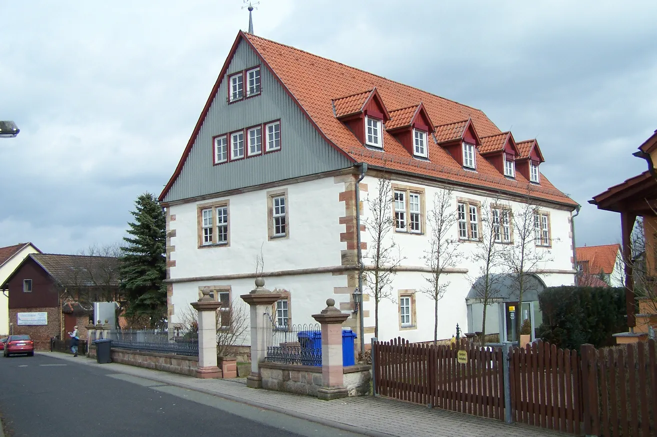
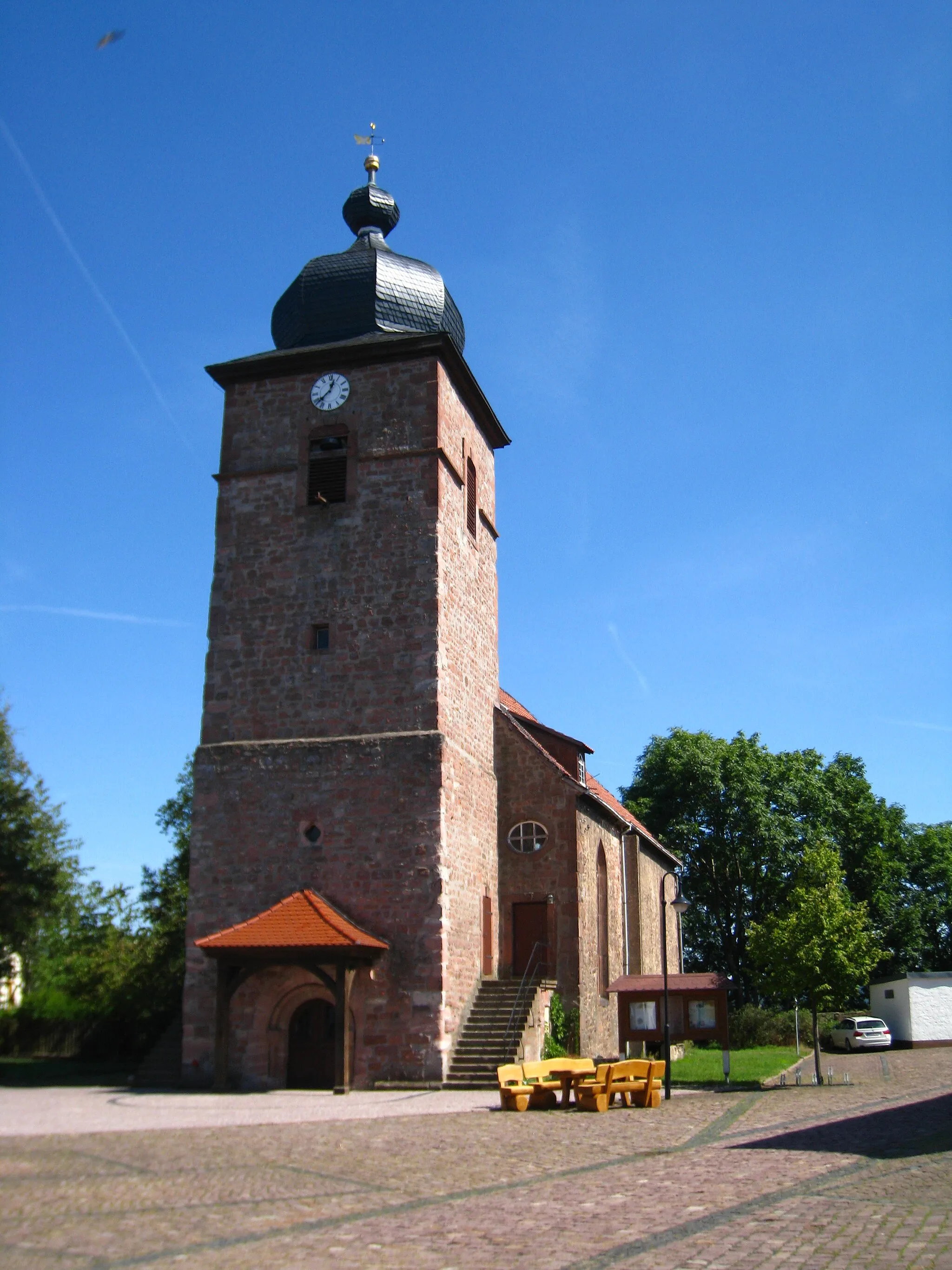
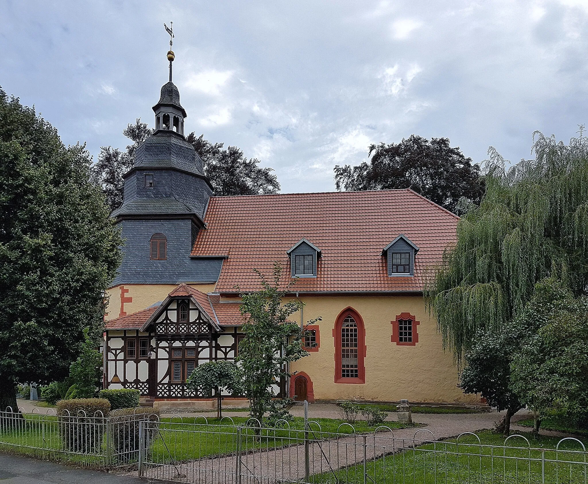
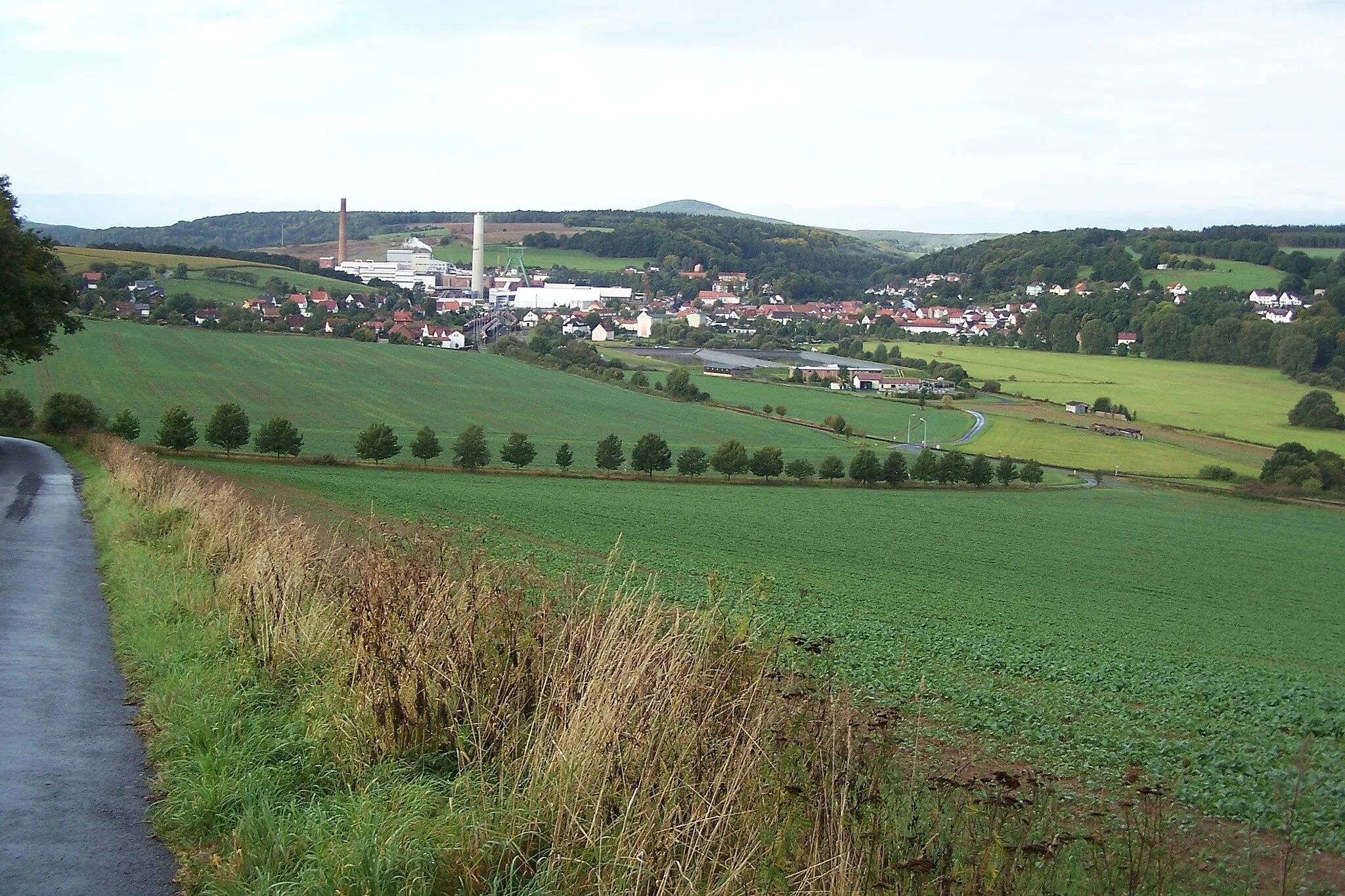
Tiefenort in Thüringen, Germany, is a delightful locality for road and gravel cyclists. The region offers a variety of well-marked cycling routes, ranging from flat and scenic paths to challenging climbs. A popular spot for cyclists is the Rhön-Rennsteig Tour, which takes riders through picturesque landscapes and past charming villages. Tiefenort is also known as a gateway to the Thuringian Forest, a mountainous region that offers fantastic off-road trails for gravel cyclists. With its diverse terrain and stunning scenery, Tiefenort is a must-visit destination for cyclists of all levels.

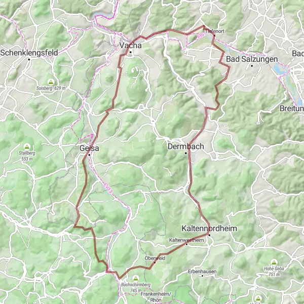
An adventurous gravel route through rural Thüringen
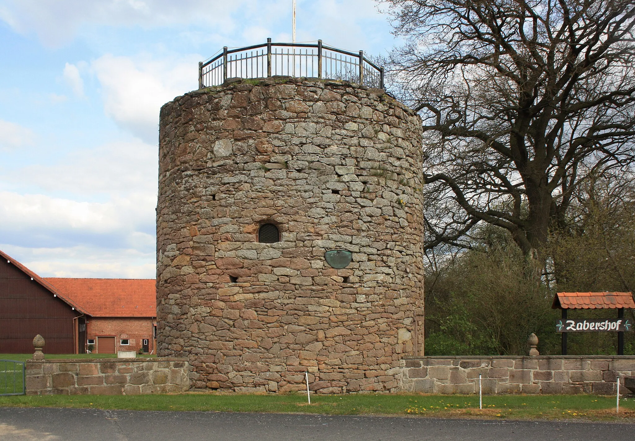
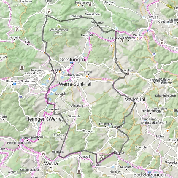
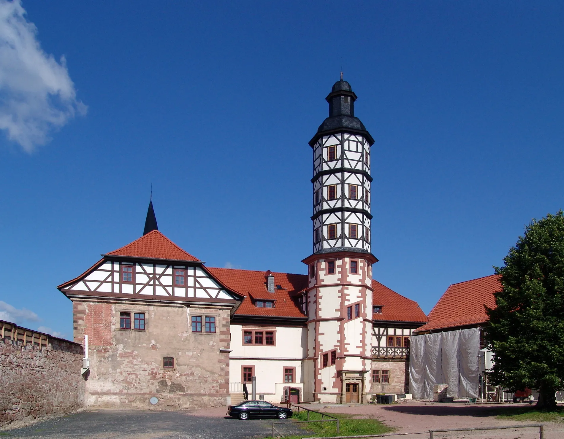
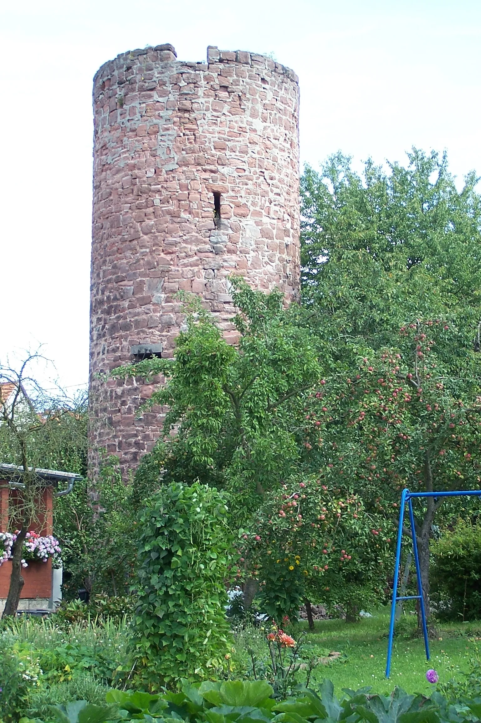
Embark on an epic gravel adventure through the rural landscapes of Thüringen. This 63 km route features challenging climbs and descents, with a total ascent of 1173 meters. Highlights include the picturesque town of Leimbach, the steep Heißer Berg, the historical Sachsenburg, and the charming towns of Geisa and Vacha. Marvel at the impressive Krayenburg and Krayenberg castles along the way. Beware, the 56 km mark brings the toughest climb yet at Krayenburg.
A challenging gravel route through Thüringen's most scenic landscapes
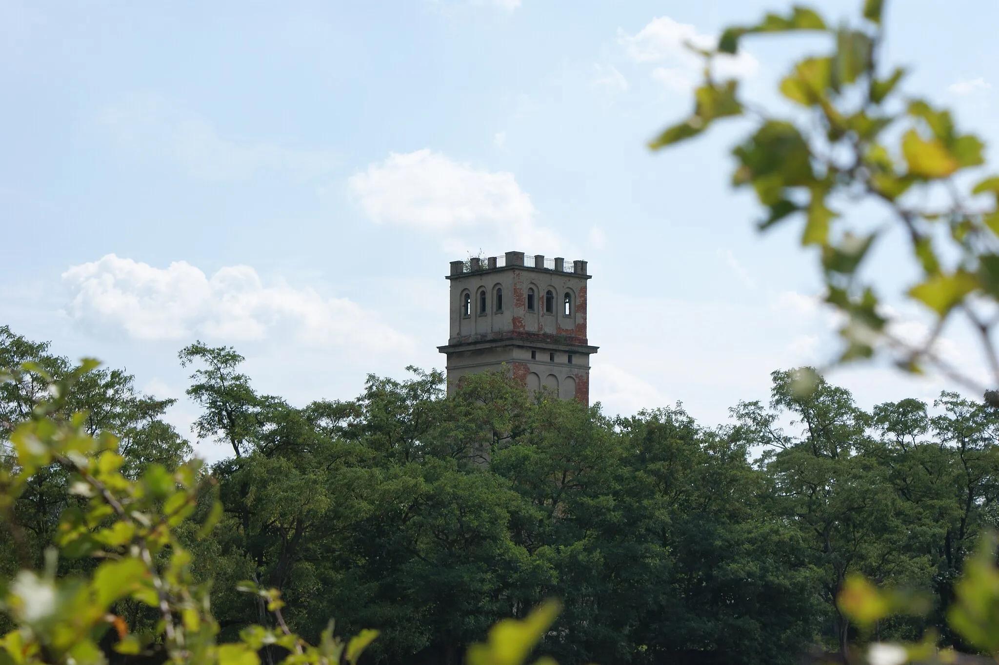
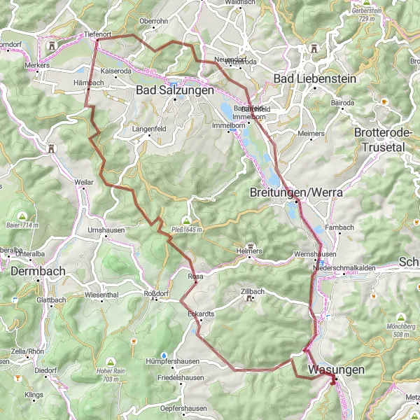
Gear up for the ultimate gravel challenge through the breathtaking landscapes of Thüringen. This 97 km route features a total ascent of 1471 meters, making it suitable for experienced cyclists. Highlights include the idyllic town of Leimbach, the picturesque Grafenstein, the charming village of Dermbach, and the panoramic views from Oberweid. Push yourself to the limit as you tackle the tough climbs of Bernhardser Kuppe, Rockenstuhl, Geisa, and Vacha. The route also passes by the impressive Krayenberg castle ruins, a true gem in the region's history.
Thüringer Forest Loop
A scenic cycling route through the Thüringer Forest
Experience the beauty of the Thüringer Forest on this road cycling route. With a distance of 55 km and an ascent of 568 meters, the route offers a moderate challenge for cyclists. Enjoy highlights such as the charming town of Bad Salzungen and the stunning Beiersberg mountain. The route also takes you through Rosa, Hofberg, Stadtlengsfeld, and Weinberg.
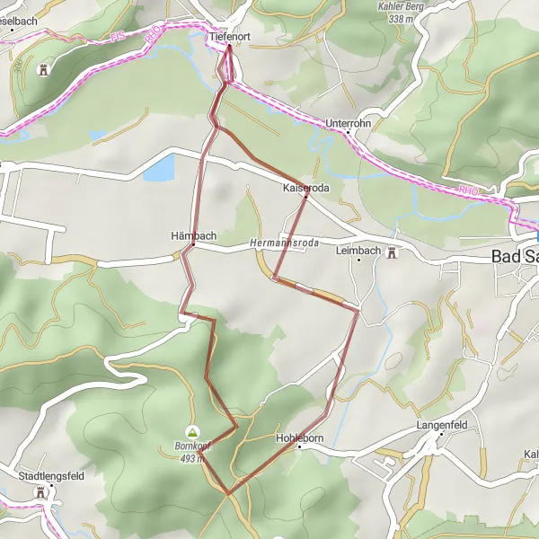
A short gravel loop starting from Tiefenort
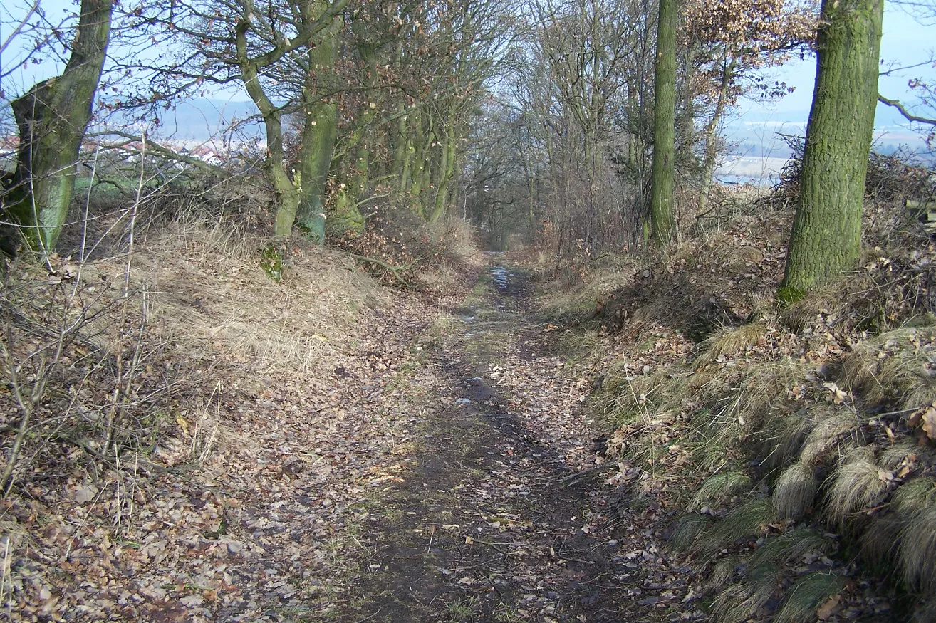
Explore the surroundings of Tiefenort with this short 17 km gravel loop. With a total ascent of 293 meters, the route is suitable for cyclists of all levels. Highlights include the picturesque town of Leimbach, the scenic Salzunger Berg, and the charming village of Tiefenort itself. Take in the beauty of the Thuringian countryside on this delightful cycling route.
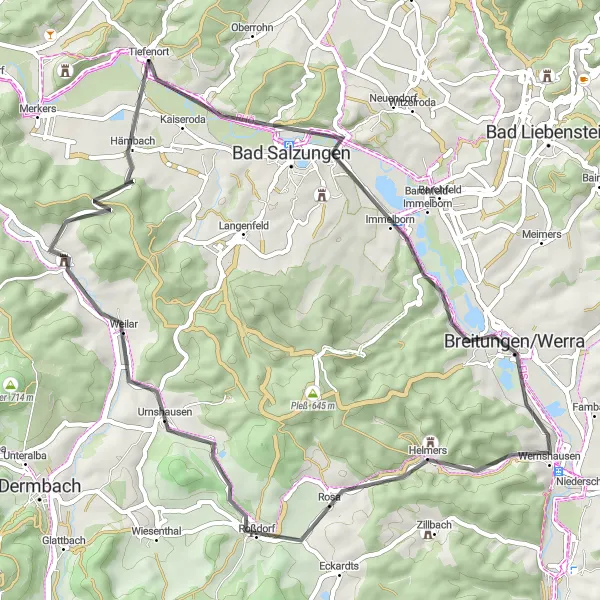
Dönges to Tiefenort
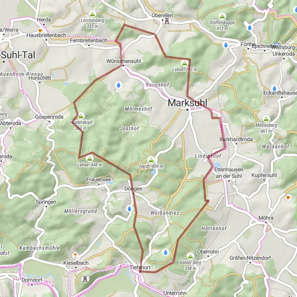
Explore the scenic countryside on this gravel cycling route
This gravel cycling route takes you through picturesque countryside, with highlights including Dönges and Tiefenort. With a moderate difficulty rating, it is suitable for well-trained amateur cyclists. The route covers a distance of 36 km and includes a total ascent of 677 meters. Enjoy the peaceful rural landscapes and take in the beauty of Thüringen, Germany.
Embark on a scenic road cycling adventure through Thüringen, Germany
This road cycling route takes you through some of the most beautiful landscapes in Thüringen, Germany. With highlights including Lichtberg and Unterrohn, this route offers a mix of challenging climbs and smooth descents. It covers a distance of 67 km and includes a total ascent of 785 meters. The difficulty level is moderate to high, making it suitable for experienced cyclists.
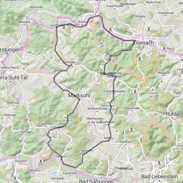
Embark on a challenging road cycling journey through scenic landscapes
This road cycling route takes you through some of the most picturesque landscapes in Thüringen, Germany. With highlights including Tiefenort and Bad Salzungen, this route offers a mix of challenging climbs and exhilarating descents. It covers a distance of 79 km and includes a total ascent of 1128 meters. The difficulty level is high, making it suitable for experienced cyclists who enjoy a challenge.
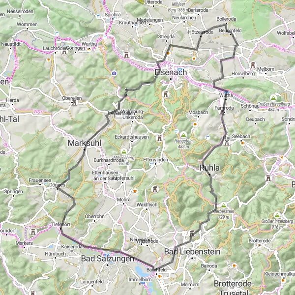
A challenging road cycling route filled with stunning landscapes and cultural highlights.
Embark on a thrilling journey through the heart of Thüringen and experience the captivating beauty of the region. This challenging road cycling route boasts breathtaking views, historic towns, and iconic landmarks. Discover the famous Milmesberg climb, pedal through the charming town of Eisenach, and conquer the towering Großer Hörselberg. From picturesque villages to majestic forested hills, this route offers an unforgettable adventure for cycling enthusiasts.
Historical Road Tour
A historical road tour through scenic Thüringen
Immerse yourself in Thüringen's rich history on this 77 km road tour. With a total ascent of 859 meters, the route offers a moderate challenge for cyclists. Highlights include the charming village of Tiefenort, the historic Krayenberg, the picturesque Dankmarshausen, and the scenic Lindenhauptkopf. Admire the architectural beauty of Sandberg, soak in the tranquility of Herleshausen, and explore the fascinating history of Marksuhl. As you approach the end of the route, enjoy sweeping views from Weißendiez and conquer the final climb at Sperlingsberg.
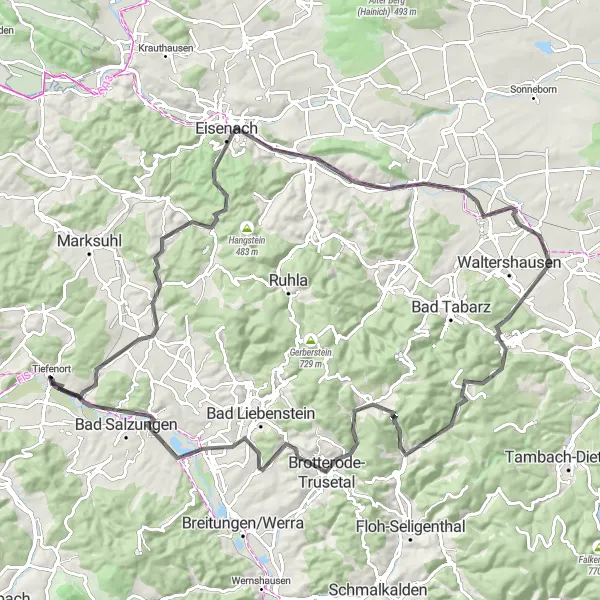
Embark on an adventurous gravel cycling journey through beautiful landscapes
This gravel cycling route offers a thrilling adventure through scenic landscapes in Thüringen, Germany. With highlights including Hohleberg and Tiefenort, this route provides a mix of challenging climbs and exhilarating descents. With a distance of 69 km and a total ascent of 1091 meters, it is suitable for experienced gravel cyclists. Enjoy the rugged beauty of the region and immerse yourself in the peaceful surroundings.
Cycling routes nearby:

Nearby regions: