Lichtberg to Unterrohn
A road cycling route starting from Tiefenort
Embark on a scenic road cycling adventure through Thüringen, Germany
Map
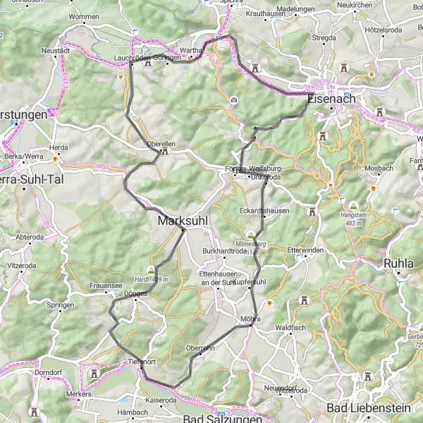
This road cycling route takes you through some of the most beautiful landscapes in Thüringen, Germany. With highlights including Lichtberg and Unterrohn, this route offers a mix of challenging climbs and smooth descents. It covers a distance of 67 km and includes a total ascent of 785 meters. The difficulty level is moderate to high, making it suitable for experienced cyclists.
road
67 km
785 m
Tough
Route profile
Highlights on the route
0 km
0 km
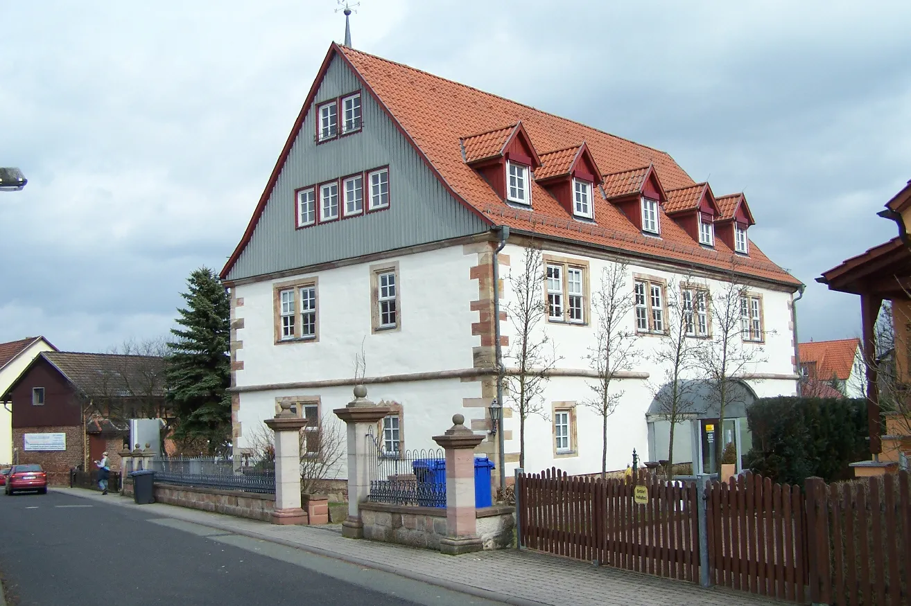
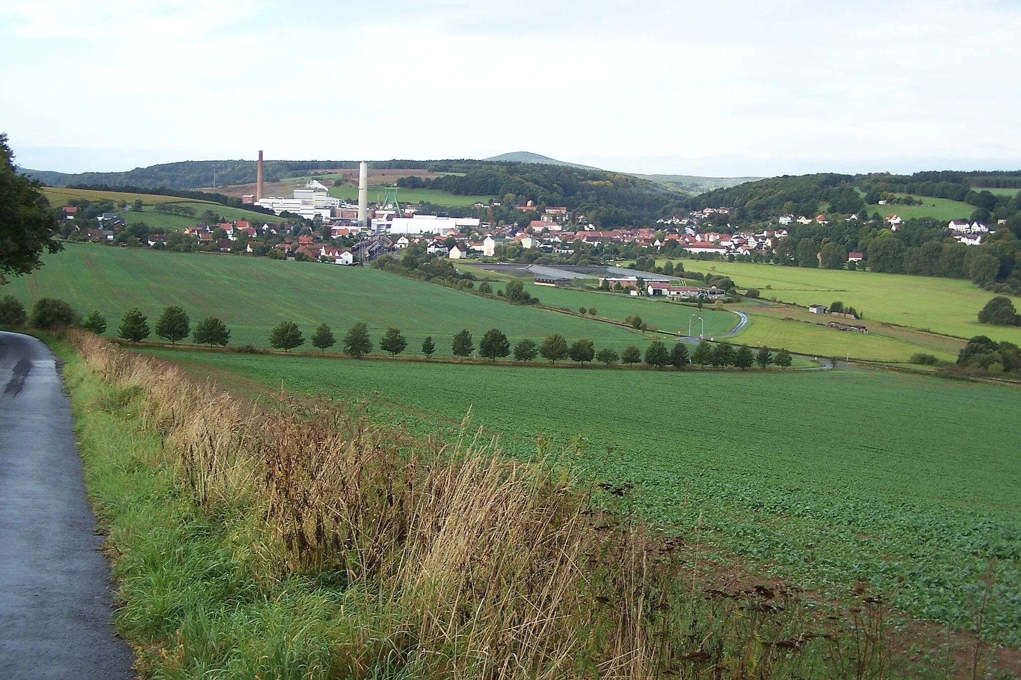
Start: Tiefenort Village centerTiefenort: Cycling heaven in the heart of Thüringen.
Tiefenort in Thüringen, Germany, is a delightful locality for road and gravel cyclists. The region offers a variety of well-marked cycling routes, ranging from flat and scenic paths to challenging climbs. A popular spot for cyclists is the Rhön-Rennsteig Tour, which takes riders through picturesque landscapes and past charming villages. Tiefenort is also known as a gateway to the Thuringian Forest, a mountainous region that offers fantastic off-road trails for gravel cyclists. With its diverse terrain and stunning scenery, Tiefenort is a must-visit destination for cyclists of all levels.2 km
2 km
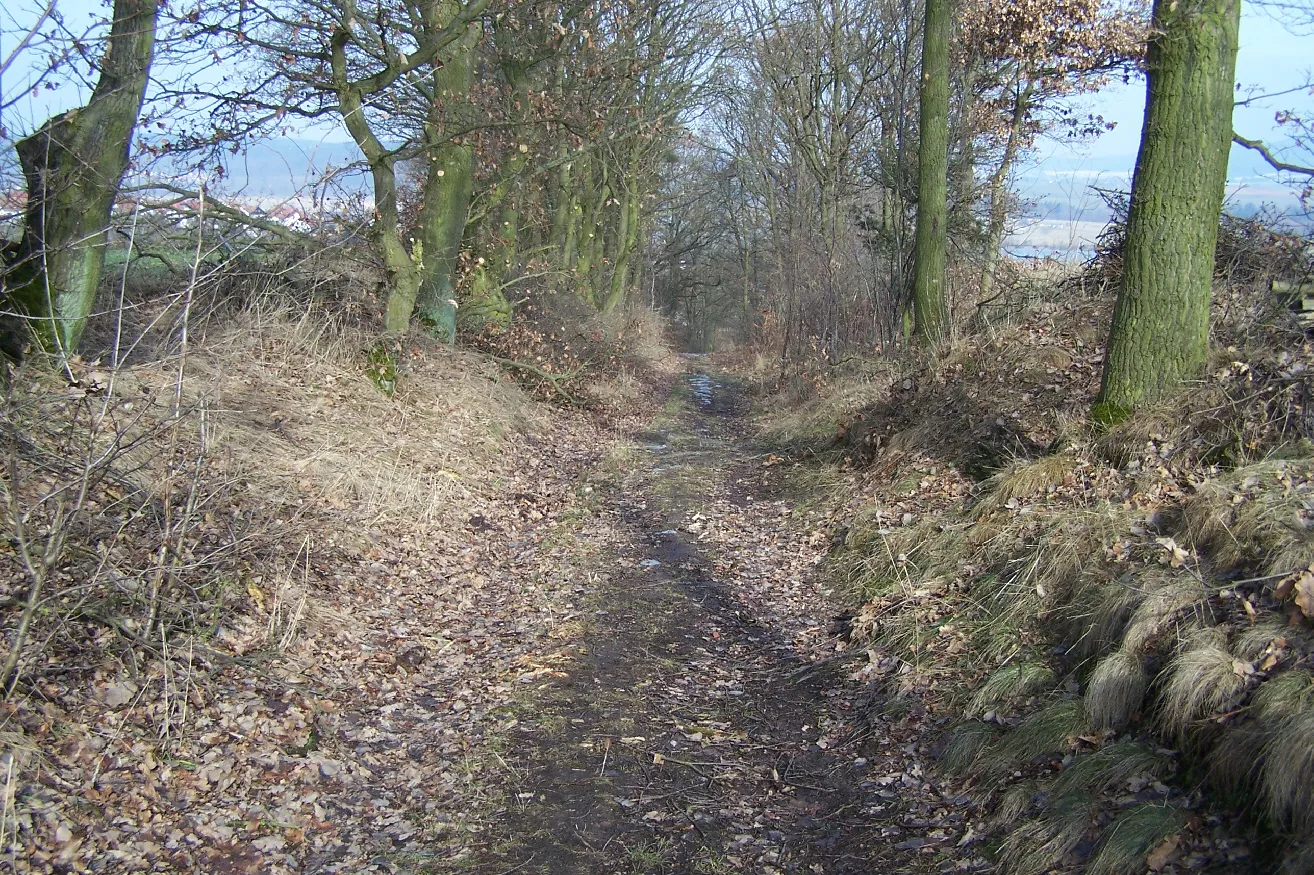
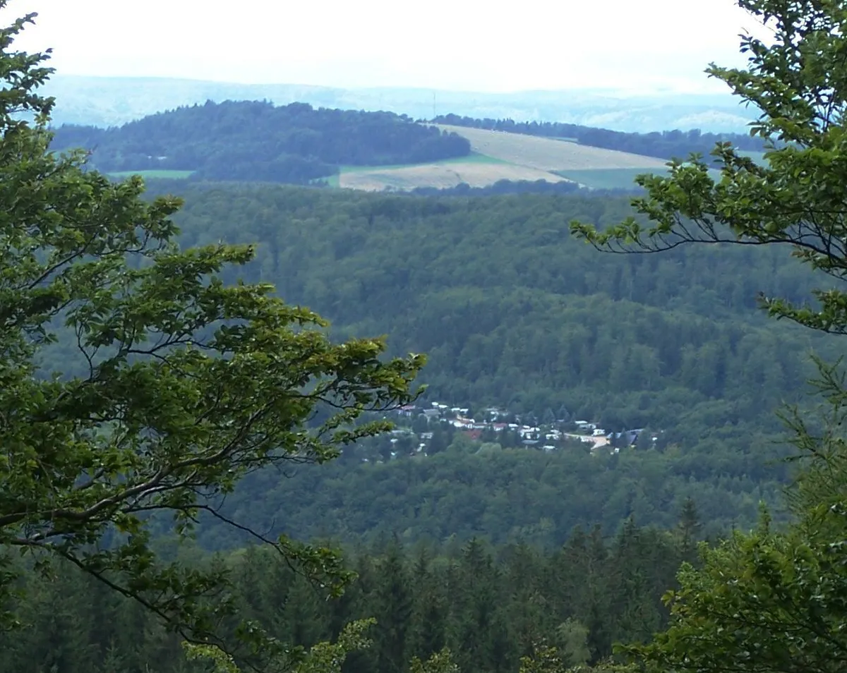
Lichtberg346 mPeakLichtberg is known for its breathtaking views of the surrounding countryside. Stop here to catch your breath and soak in the natural beauty.
12 km
12 km
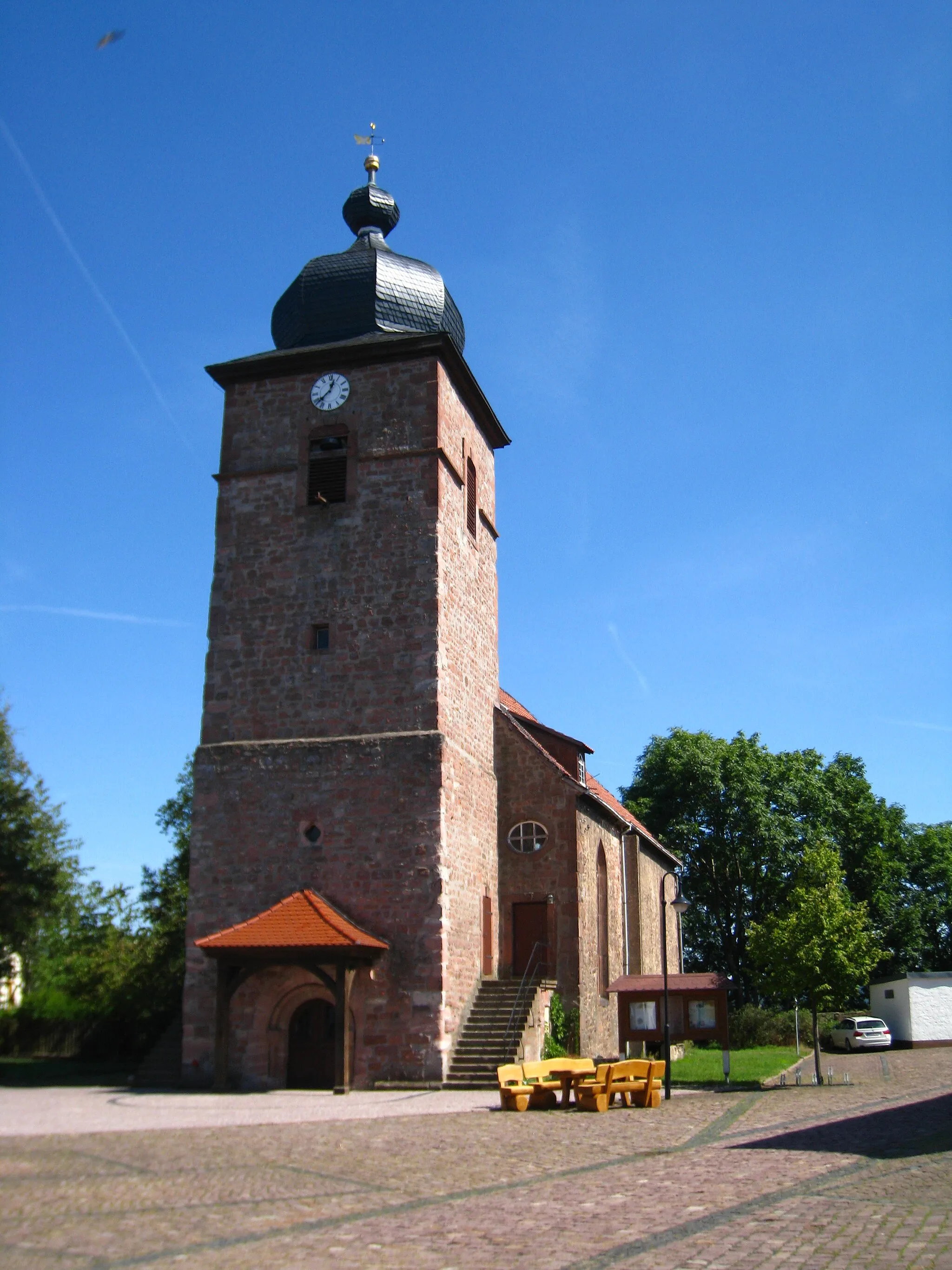
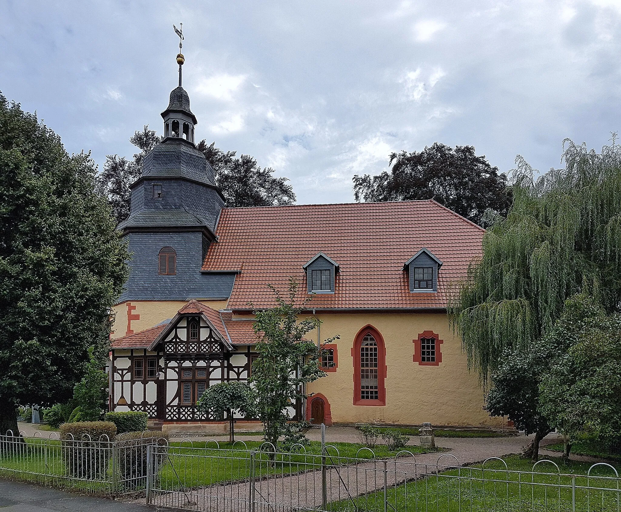
MarksuhlTownMarksuhl is a charming village with traditional architecture and serene landscapes. Take a break here and explore its quaint streets and local attractions.
25 km
25 km
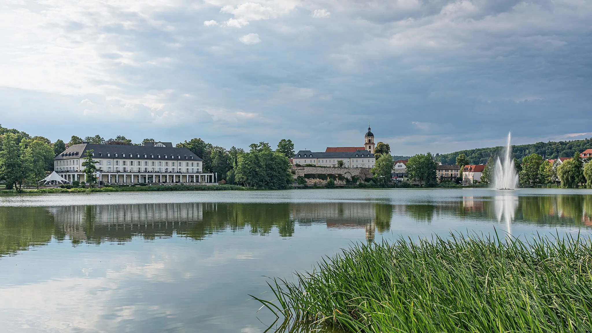
LauchrödenVillageLauchröden is a small town renowned for its picturesque landscapes and historic charm. Visit the local landmarks and enjoy a leisurely stroll along the river.
27 km
27 km
Göringer Stein317 mPeakGöringer Stein is a fascinating rock formation that offers stunning views of the surroundings. Take a moment to marvel at this natural wonder.
32 km
32 km
Hörschelberg325 mPeakHörschelberg is a beautiful hill with lush greenery and panoramic vistas. Enjoy a challenging climb to the top and reward yourself with the breathtaking views.
40 km
40 km
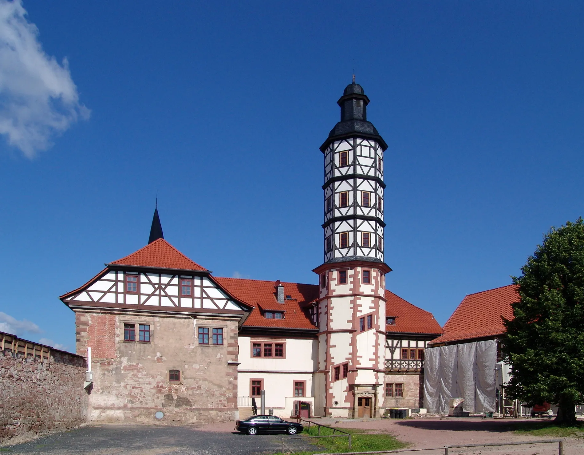
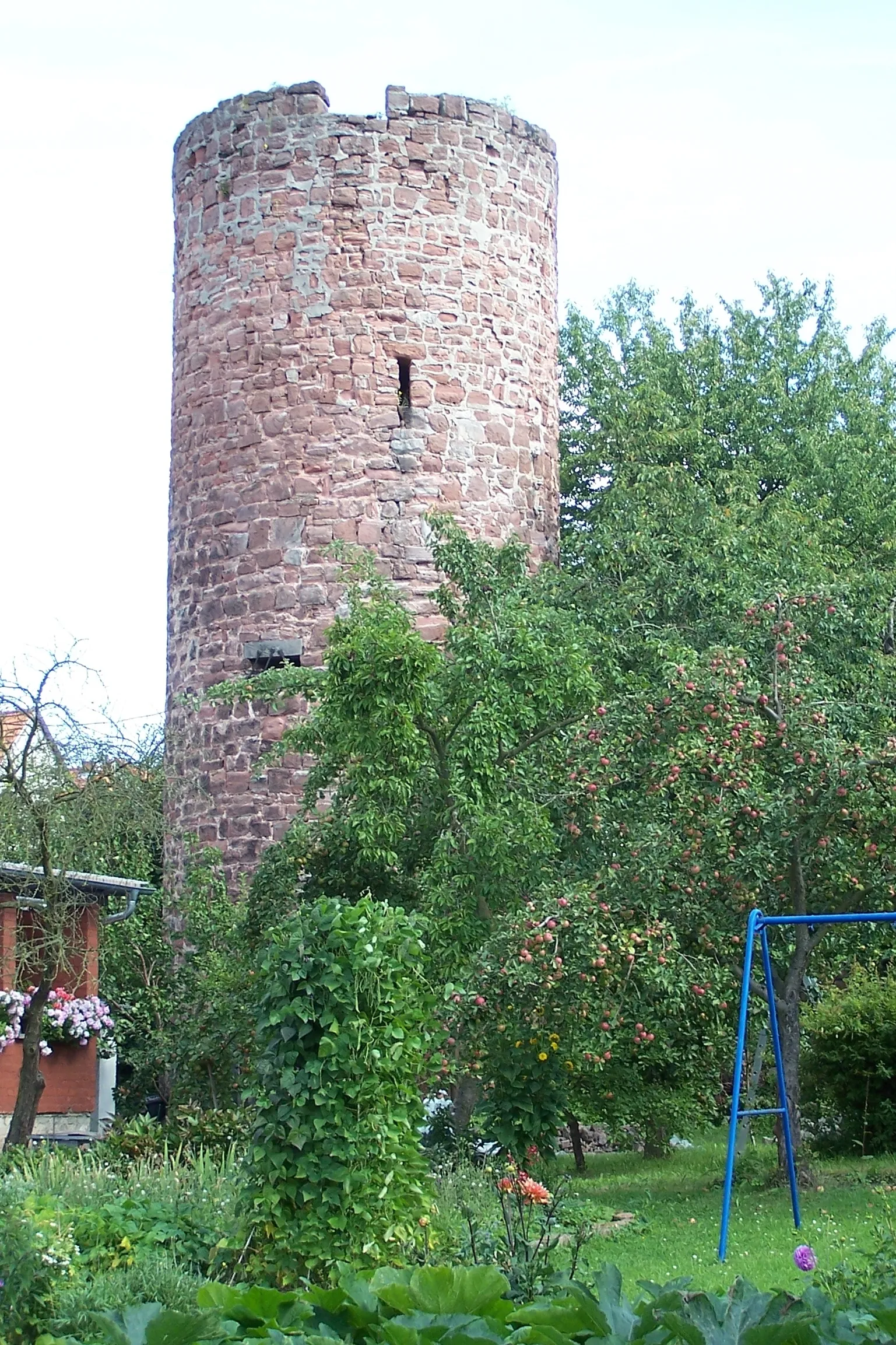
WartburgCastleWartburg is a UNESCO World Heritage Site and a must-visit spot for history enthusiasts. Explore the historic castle and learn about its intriguing past.
49 km
49 km
Wolfsburg-UnkerodaVillageWolfsburg-Unkeroda is a picturesque village with charming architecture and stunning natural landscapes. Take a break here and soak in the tranquil atmosphere.
53 km
53 km
Milmesberg461 mPeakMilmesberg is a legendary climb known for its challenging gradient. Test your climbing skills on this renowned route.
62 km
62 km
Kahler Berg338 mPeakKahler Berg is a scenic hill known for its panoramic views. Enjoy a challenging ascent to the top andreward yourself with the stunning vistas.
65 km
65 km
UnterrohnVillageUnterrohn is a charming village with traditional architecture and idyllic landscapes. Explore its quaint streets and immerse yourself in the local culture.
67 km
67 km
Finish: Tiefenort Village centerTiefenort: Cycling heaven in the heart of Thüringen.
Cycling routes from Tiefenort:
Historical Road Tour Dönges to Tiefenort Tiefenort to Bad Salzungen Thüringer Forest Loop Rural Gravel Adventure Tiefenort Loop Lichtberg to Unterrohn Hohleberg to Tiefenort The Thuringian Adventure The Ultimate Gravel Challenge Gravel Adventure through Tiefenort and Surrounding Villages Gravel Adventure around Tiefenort Hill Challenge in Tiefenort
Cycling routes nearby: