The Ultimate Gravel Challenge
A gravel cycling route starting from Tiefenort
A challenging gravel route through Thüringen's most scenic landscapes
Map
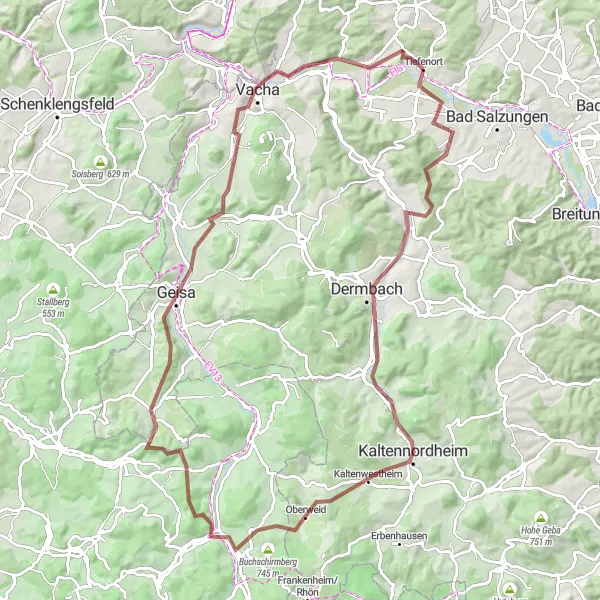
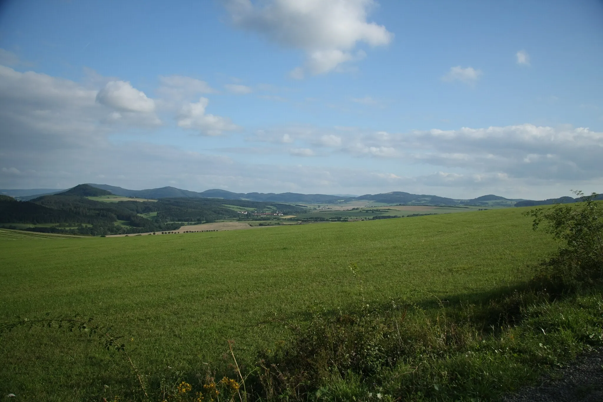
Gear up for the ultimate gravel challenge through the breathtaking landscapes of Thüringen. This 97 km route features a total ascent of 1471 meters, making it suitable for experienced cyclists. Highlights include the idyllic town of Leimbach, the picturesque Grafenstein, the charming village of Dermbach, and the panoramic views from Oberweid. Push yourself to the limit as you tackle the tough climbs of Bernhardser Kuppe, Rockenstuhl, Geisa, and Vacha. The route also passes by the impressive Krayenberg castle ruins, a true gem in the region's history.
gravel
97 km
1471 m
Savage
Route profile
Highlights on the route
0 km
0 km
Start: Tiefenort Village centerTiefenort: Cycling heaven in the heart of Thüringen.
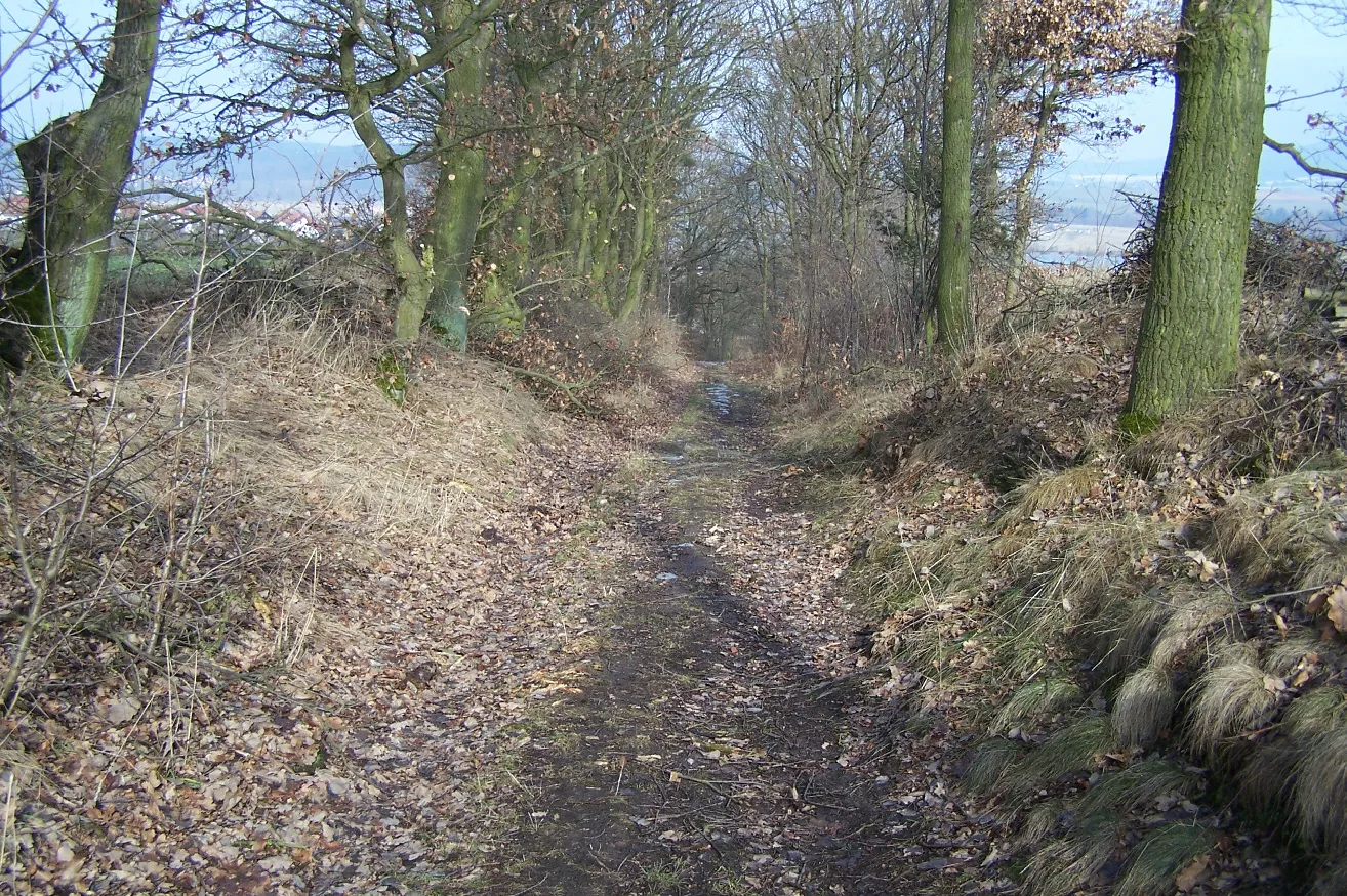
Tiefenort in Thüringen, Germany, is a delightful locality for road and gravel cyclists. The region offers a variety of well-marked cycling routes, ranging from flat and scenic paths to challenging climbs. A popular spot for cyclists is the Rhön-Rennsteig Tour, which takes riders through picturesque landscapes and past charming villages. Tiefenort is also known as a gateway to the Thuringian Forest, a mountainous region that offers fantastic off-road trails for gravel cyclists. With its diverse terrain and stunning scenery, Tiefenort is a must-visit destination for cyclists of all levels.5 km
5 km
LeimbachVillageExplore the picturesque town of Leimbach and its charming old town.
11 km
11 km
Grafenstein412 mPeakClimb the famous Grafenstein and enjoy the stunning views from the top.
19 km
19 km
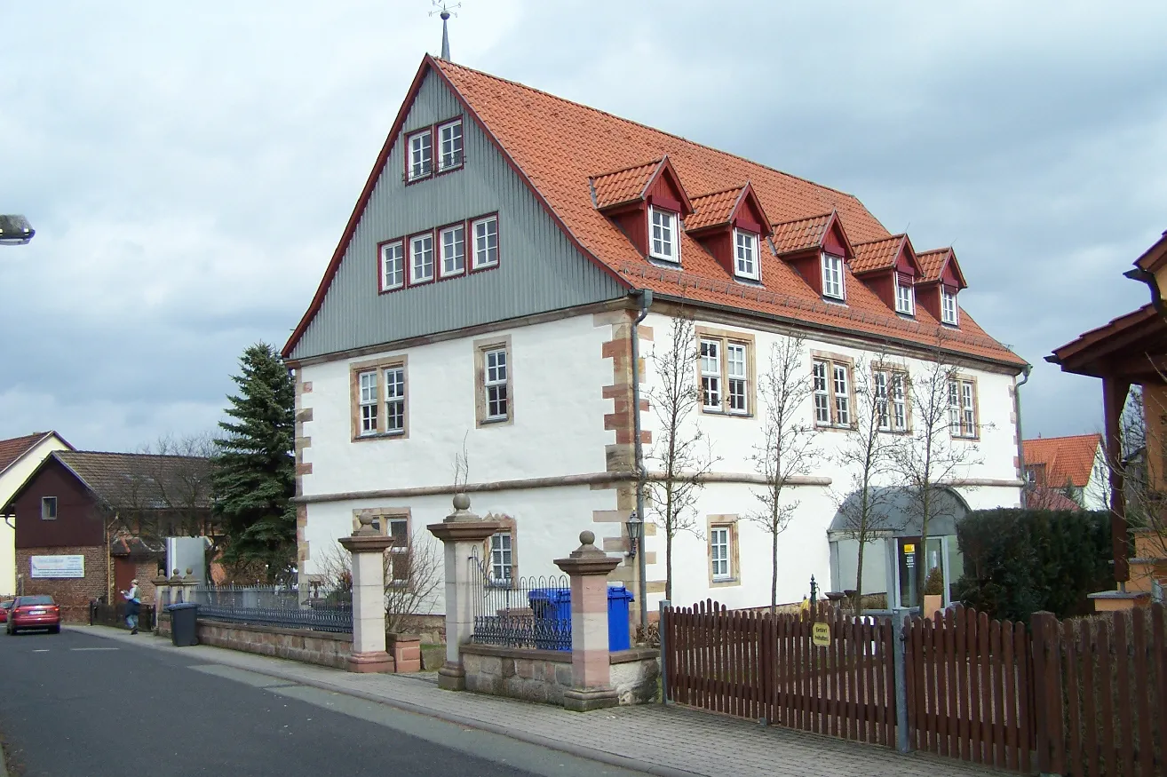
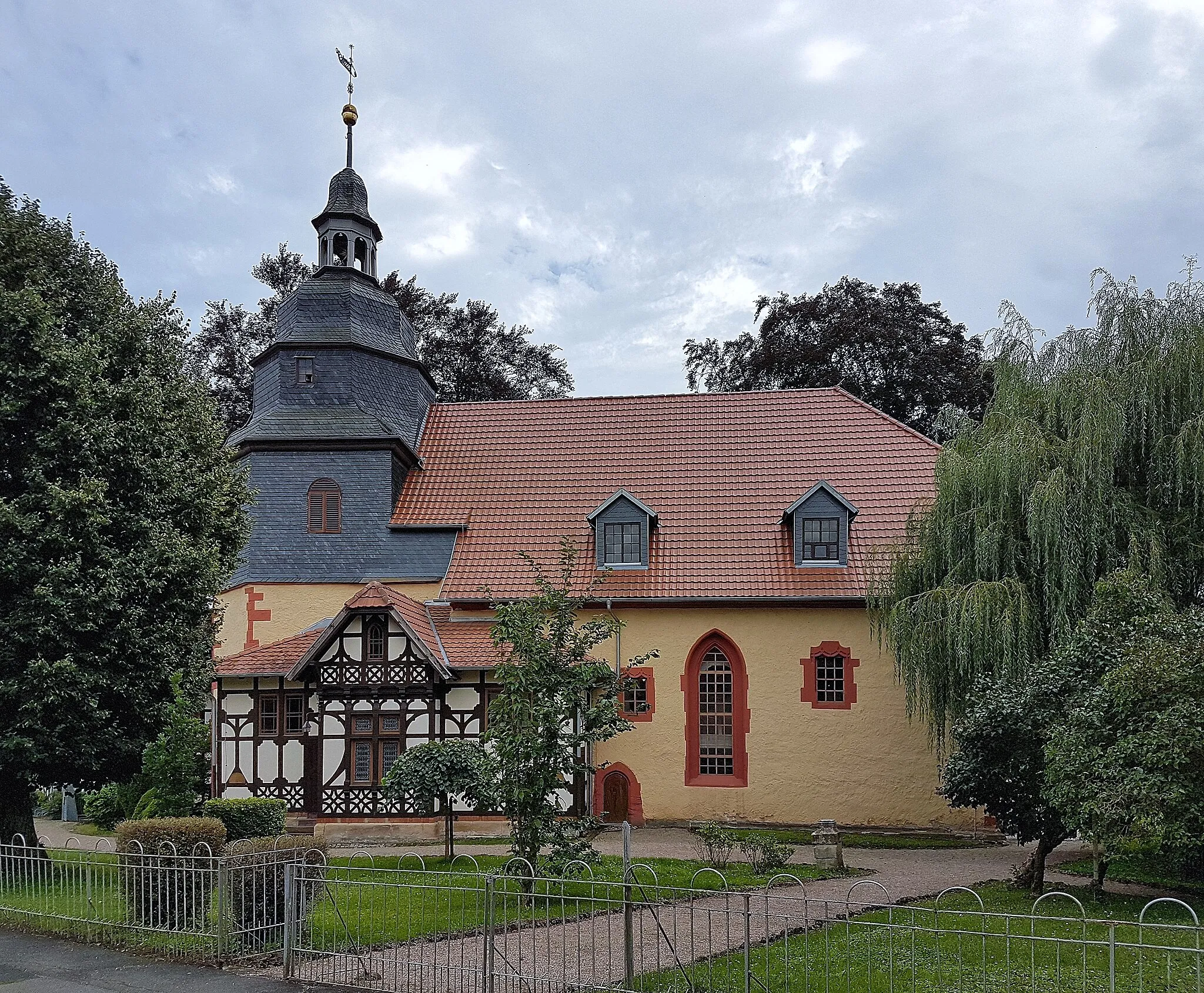
DermbachTownVisit the historic village of Dermbach and explore its well-preserved medieval buildings.
40 km
40 km
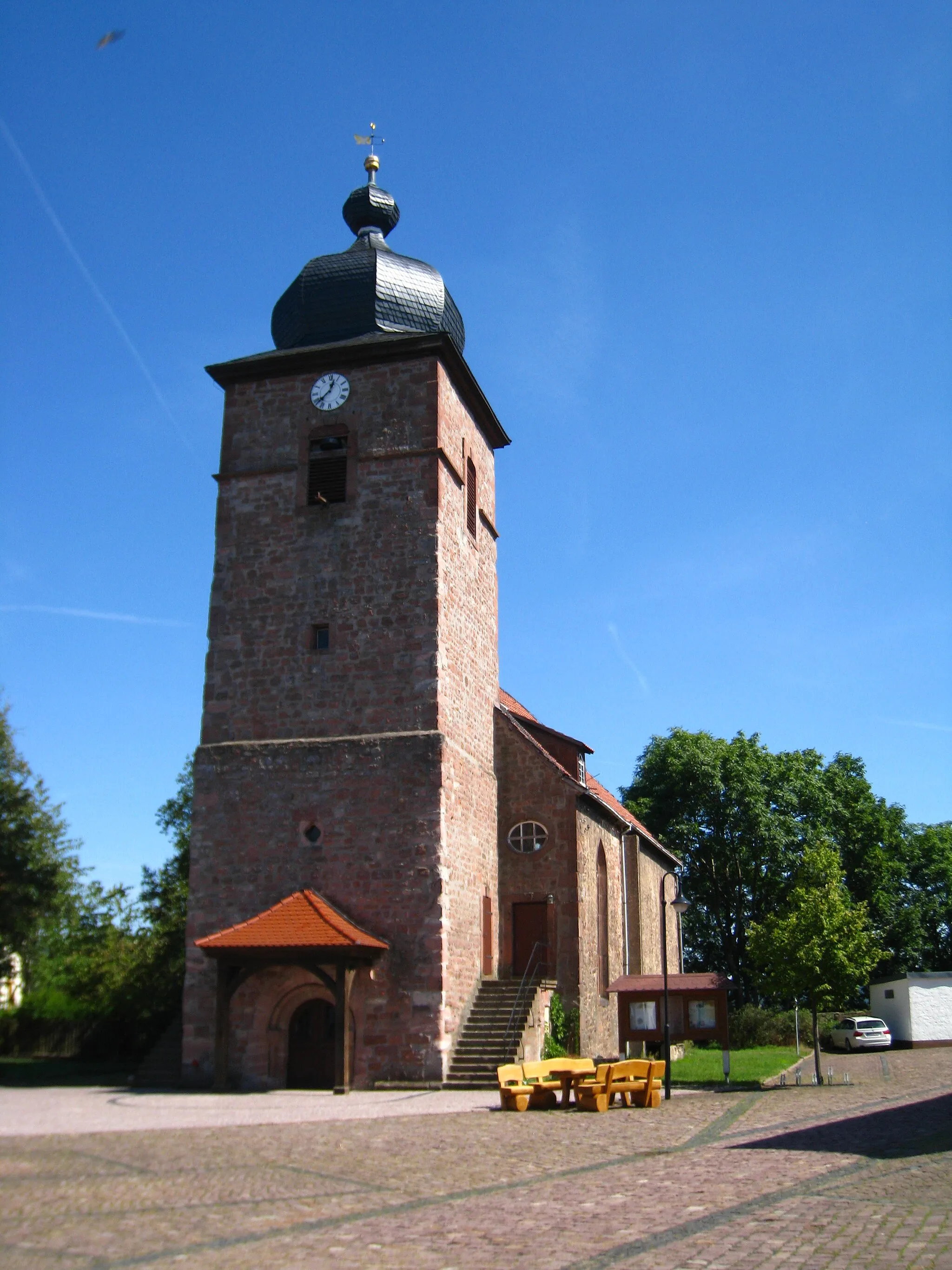
OberweidVillageEnjoy the quiet countryside of Oberweid, secluded from the busy city life.
51 km
51 km
Bernhardser Kuppe571 mPeakConquer the challenging climb of Bernhardser Kuppe and savor the incredible panoramic vistas.
64 km
64 km
Rockenstuhl529 mPeakMarvel at the ancient Rockenstuhl, an intriguing site of historical significance.
68 km
68 km
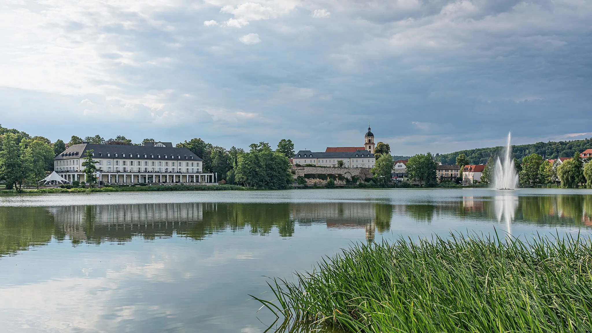
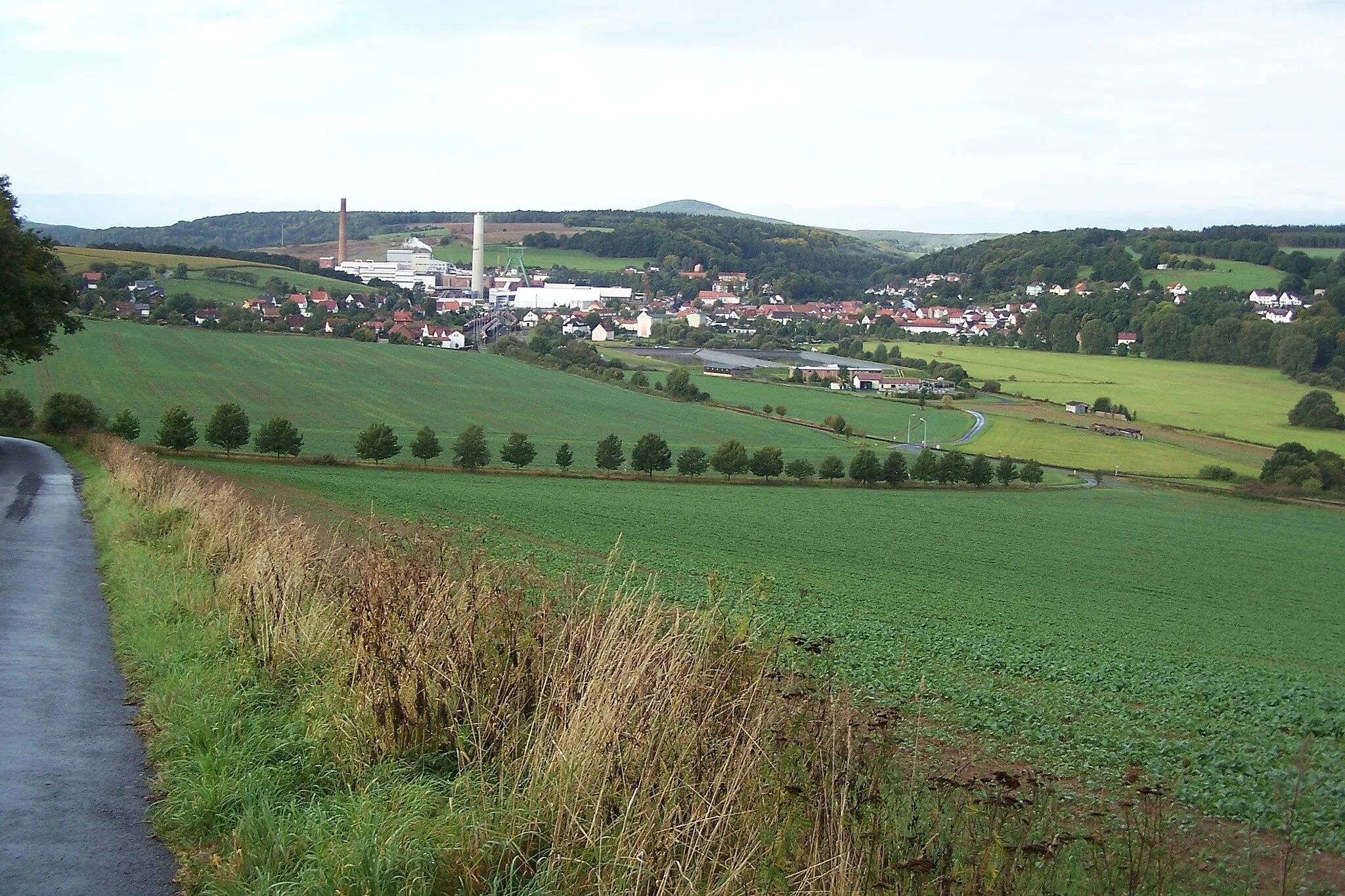
GeisaTownExplore the hidden gem of Geisa and discover its historical charm.
84 km
84 km
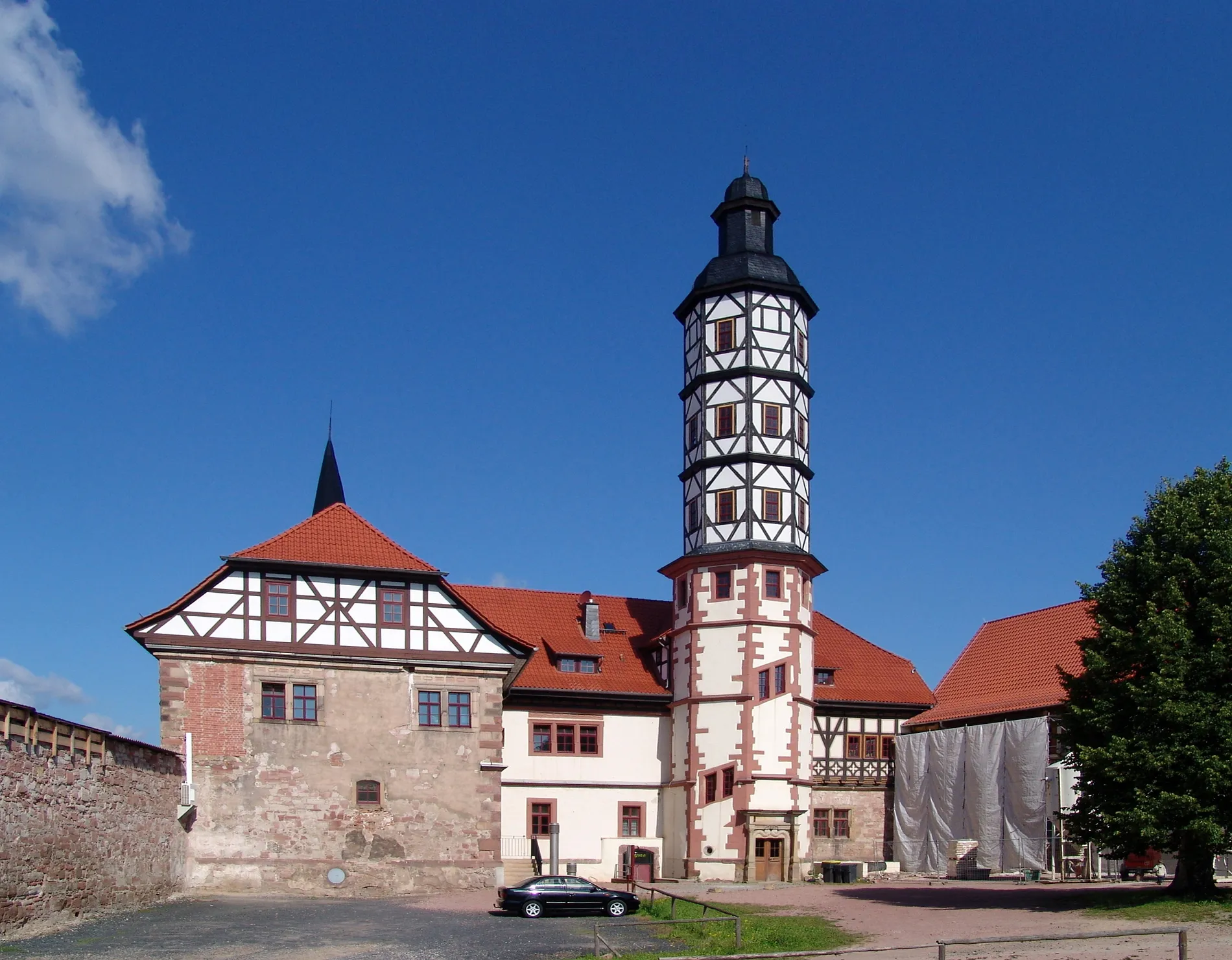
VachaTownCycle through the charming town of Vacha and immerse yourself in its rich history.
92 km
92 km
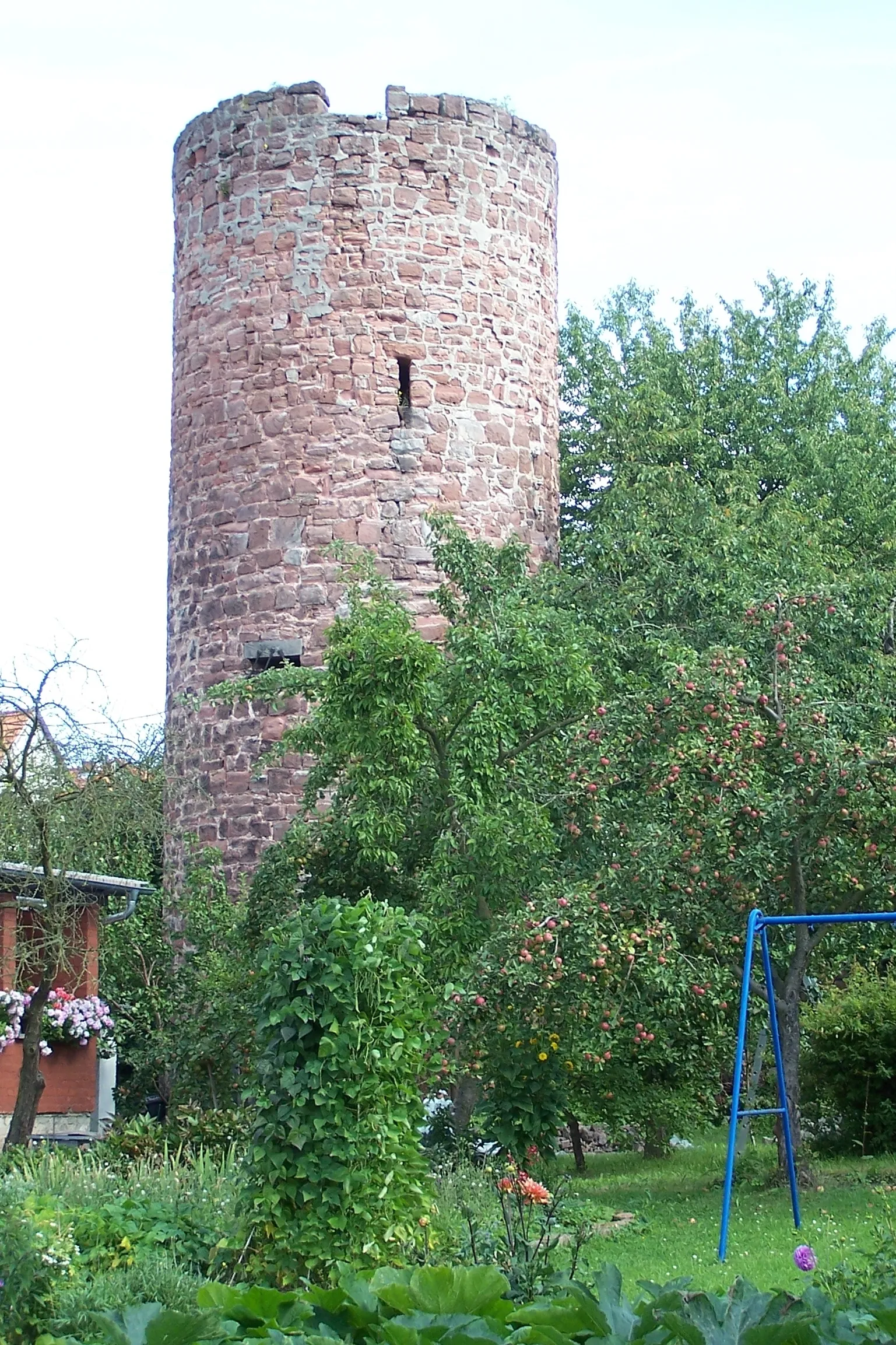
Krayenberg428 mPeakAdmire the impressive Krayenberg castle ruins and enjoy spectacular views of the surrounding landscapes.
97 km
97 km
Finish: Tiefenort Village centerTiefenort: Cycling heaven in the heart of Thüringen.
Cycling routes from Tiefenort:
Historical Road Tour Dönges to Tiefenort Tiefenort to Bad Salzungen Thüringer Forest Loop Rural Gravel Adventure Tiefenort Loop Lichtberg to Unterrohn Hohleberg to Tiefenort The Thuringian Adventure The Ultimate Gravel Challenge Gravel Adventure through Tiefenort and Surrounding Villages Gravel Adventure around Tiefenort Hill Challenge in Tiefenort
Cycling routes nearby: