Hill Challenge in Tiefenort
A gravel cycling route starting from Tiefenort
Embark on an epic hill climbing adventure around Tiefenort, Thüringen.
Map
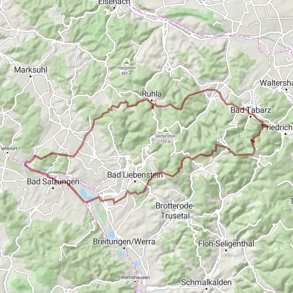
Cycle through stunning landscapes and conquer challenging hills in this gravel route near Tiefenort. With a distance of 72 kilometers and an ascent of 1608 meters, this route is designed for experienced and well-trained amateurs seeking a thrilling ride. Along the way, you'll encounter historical highlights and breathtaking viewpoints.
gravel
72 km
1608 m
Tough
Route profile
Highlights on the route
0 km
0 km
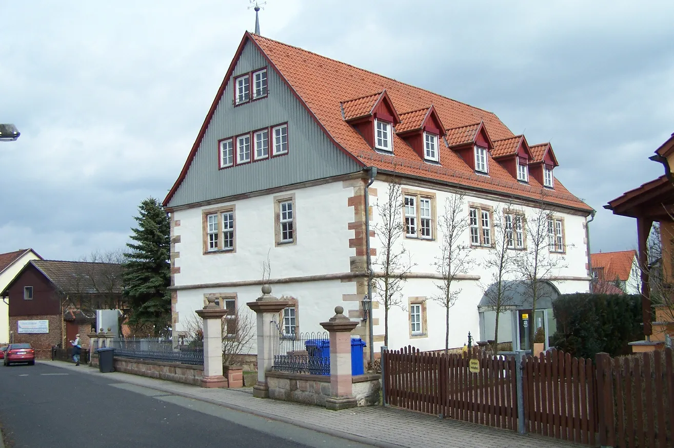
Start: Unterrohn Village centerTiefenort: Cycling heaven in the heart of Thüringen.
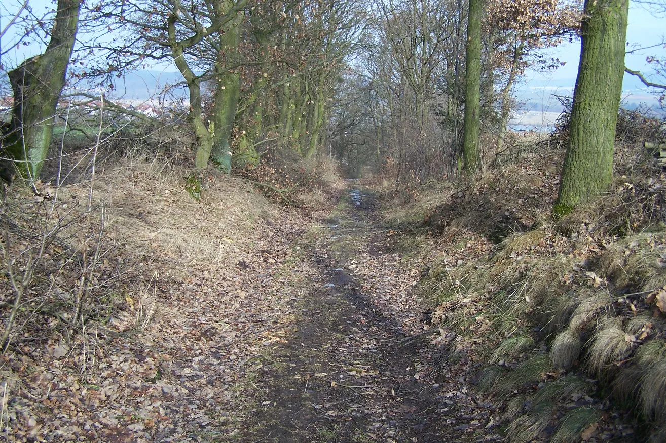
Tiefenort in Thüringen, Germany, is a delightful locality for road and gravel cyclists. The region offers a variety of well-marked cycling routes, ranging from flat and scenic paths to challenging climbs. A popular spot for cyclists is the Rhön-Rennsteig Tour, which takes riders through picturesque landscapes and past charming villages. Tiefenort is also known as a gateway to the Thuringian Forest, a mountainous region that offers fantastic off-road trails for gravel cyclists. With its diverse terrain and stunning scenery, Tiefenort is a must-visit destination for cyclists of all levels.9 km
9 km
WaldfischVillageWaldfisch is a picturesque village surrounded by dense forests and quaint half-timbered houses, creating a charming atmosphere for a short break.
13 km
13 km
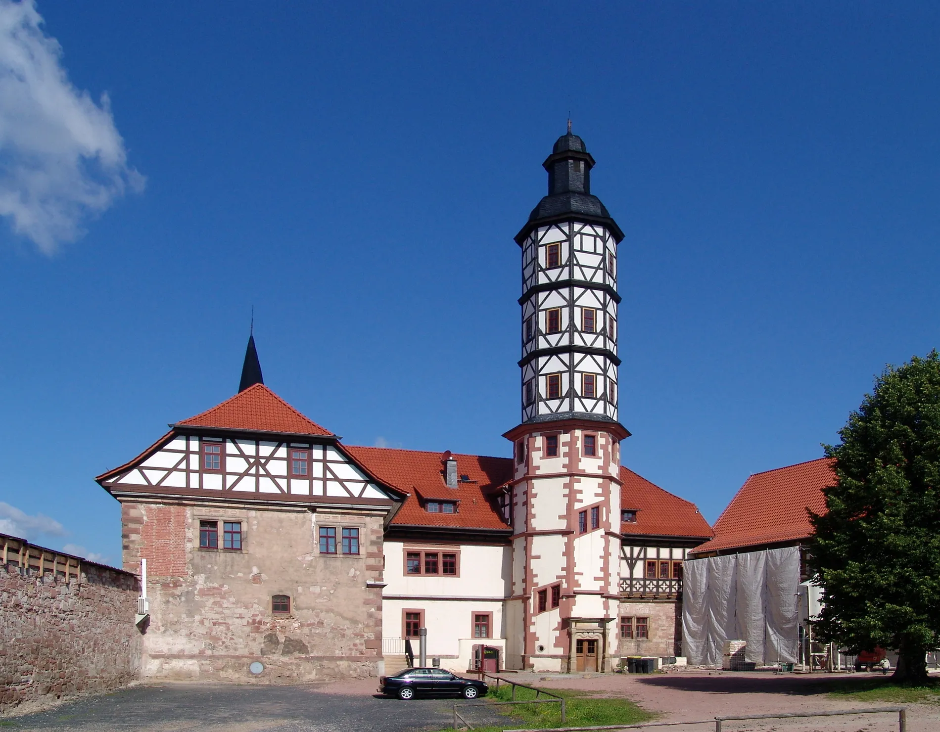
Kissel649 mPeakKissel is a small town with a well-preserved medieval town center and narrow, winding streets, providing interesting architecture to admire as you ride through.
18 km
18 km
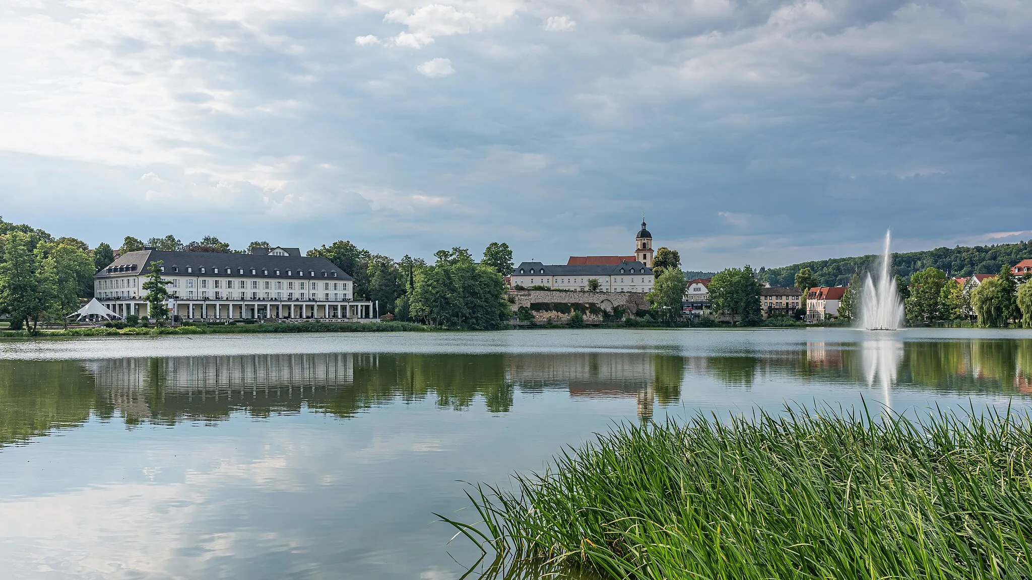
RuhlaTownRuhla is a popular tourist town known for its watchmaking industry. Explore the Watch Museum and enjoy stunning views from the Rennsteig Observation Tower.
25 km
25 km
Mittelberg527 mPeakMittelberg is a scenic hill offering panoramic views of the surrounding landscape, providing a great spot for a well-deserved break and some memorable photos.
35 km
35 km
MarienglashöhleAttractionMarienglashöhle is a natural wonder with impressive stalactites and stalagmites, offering a unique subterranean experience for adventurous cyclists.
45 km
45 km
Großer Inselsberg916 mPeakGroßer Inselsberg is a legendary mountain in Thüringen, attracting visitors with its incredible vistas, hiking trails, and paragliding opportunities. A must-see for every avid cyclist.
51 km
51 km
Rennwegskopf730 mPeakRennwegskopf is a challenging climb with rewarding views. Conquer this hill for an exhilarating experience and a sense of accomplishment.
64 km
64 km
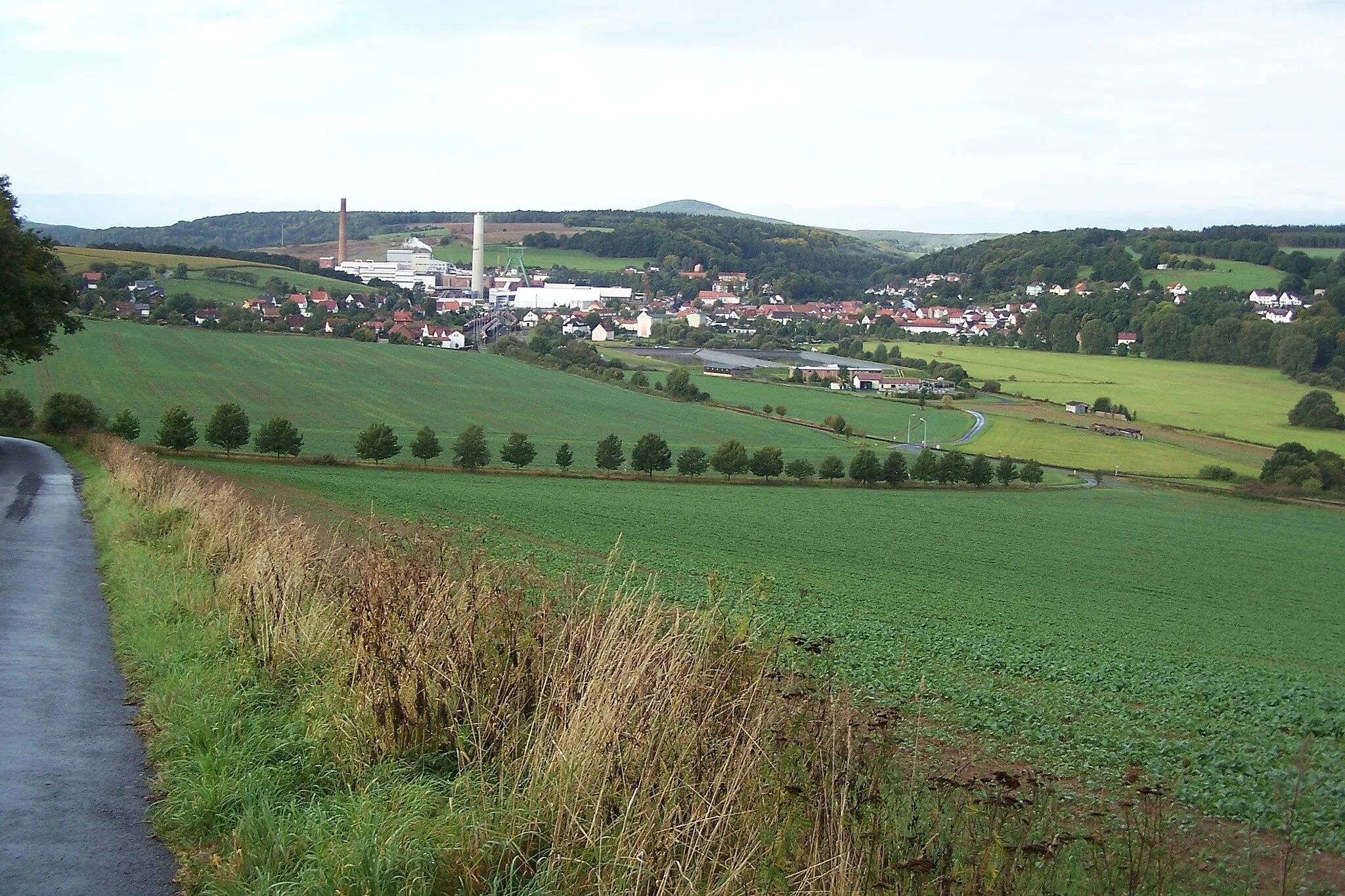
ImmelbornVillageImmelborn is a small village with a striking cistern, which has been transformed into a unique viewpoint, offering an unusual perspective of the surroundings.
69 km
69 km
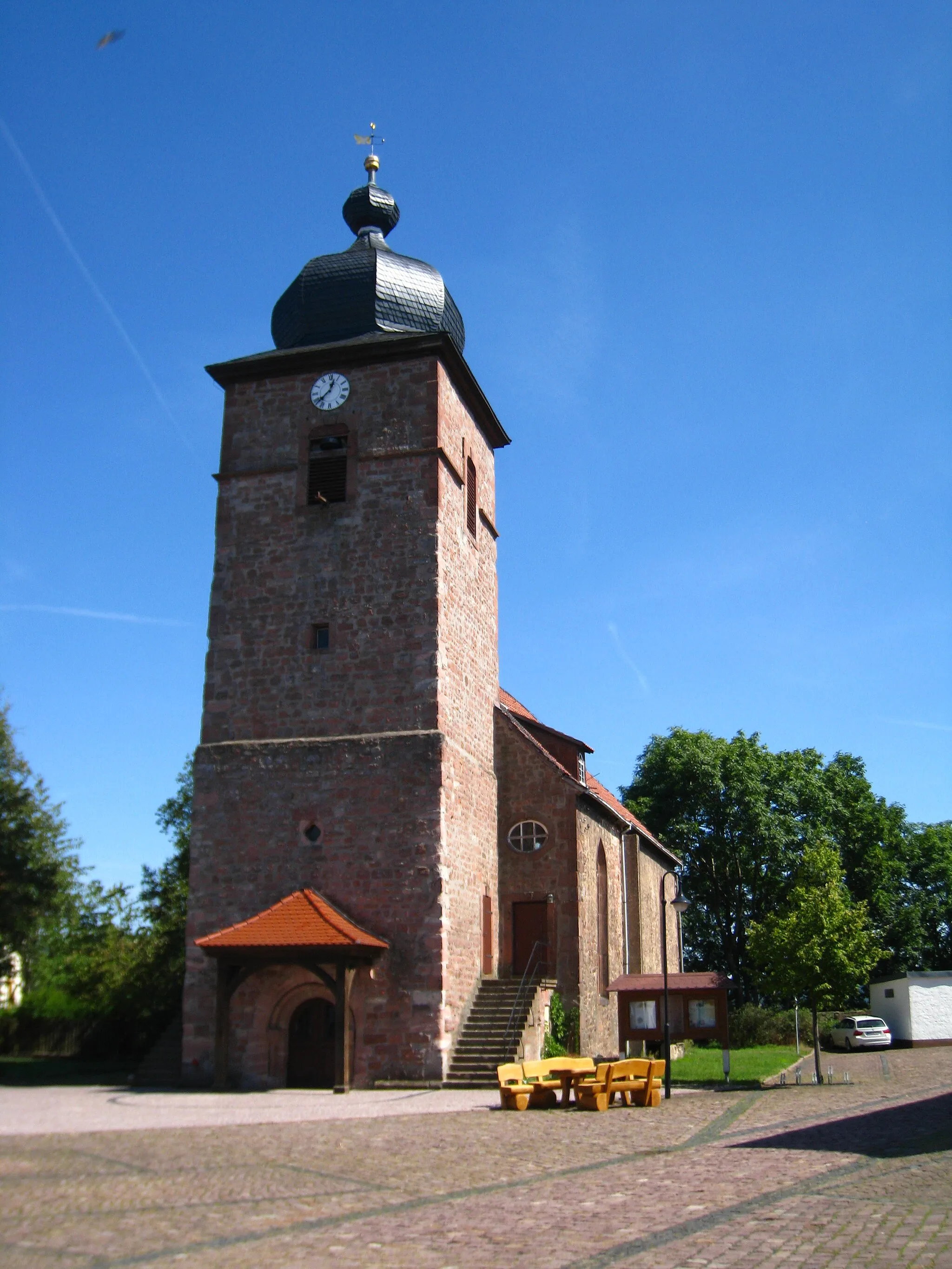
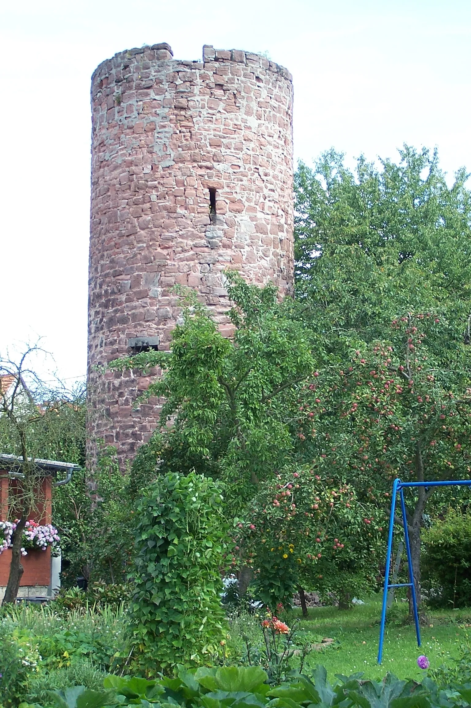
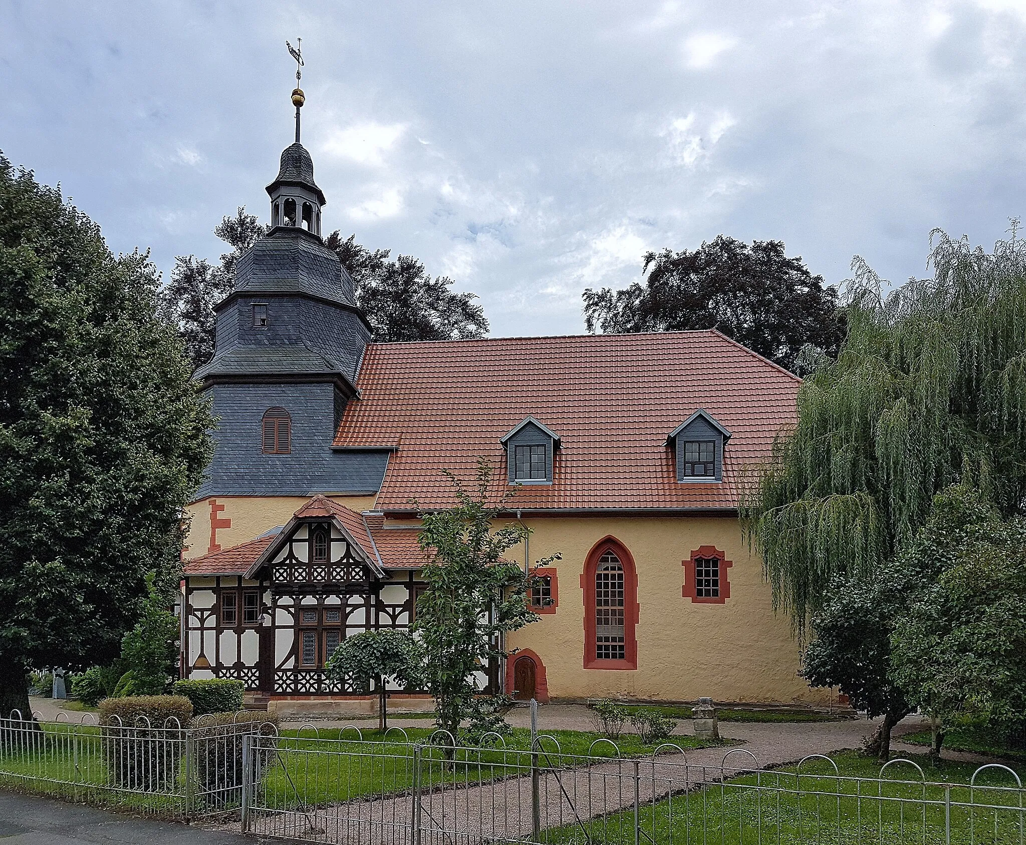
HusenkircheCastle RuinsHusenkirche is a tranquil church located amidst picturesque countryside, providing a serene and peaceful ambiance as you rest and take in the view.
72 km
72 km
Finish: Unterrohn Village centerTiefenort: Cycling heaven in the heart of Thüringen.
Cycling routes from Tiefenort:
Historical Road Tour Dönges to Tiefenort Tiefenort to Bad Salzungen Thüringer Forest Loop Rural Gravel Adventure Tiefenort Loop Lichtberg to Unterrohn Hohleberg to Tiefenort The Thuringian Adventure The Ultimate Gravel Challenge Gravel Adventure through Tiefenort and Surrounding Villages Gravel Adventure around Tiefenort Hill Challenge in Tiefenort
Cycling routes nearby: