Ellrich Gravel Adventure
A gravel cycling route starting from Ellrich
Embark on an exciting gravel adventure from Ellrich to Großer Mittelberg
Map
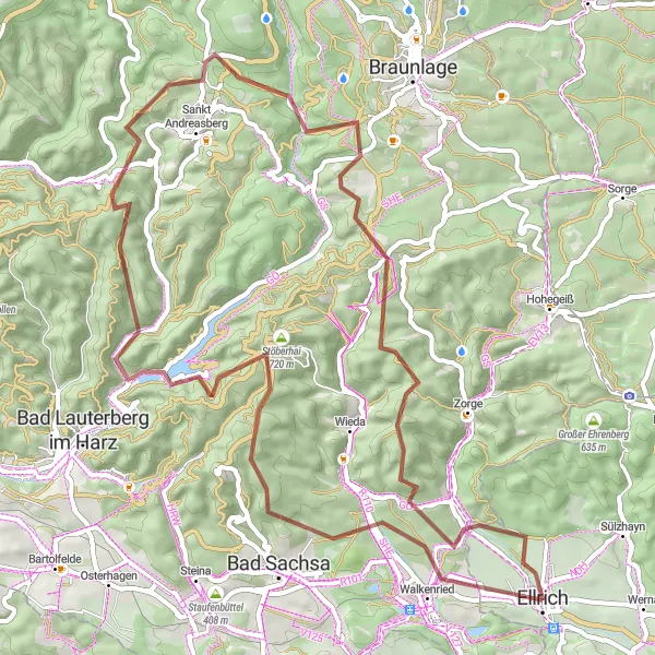
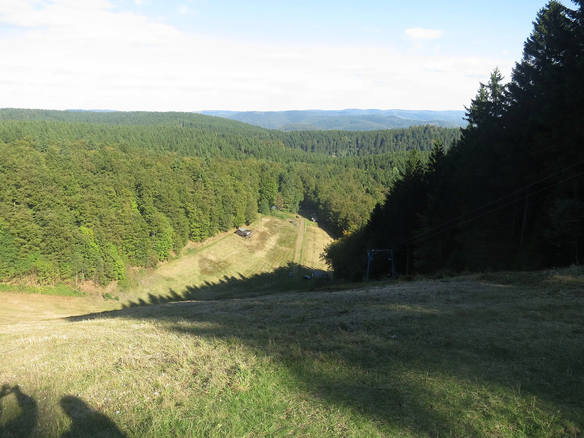
This thrilling gravel cycling route takes you from Ellrich to Großer Mittelberg, offering a diverse range of terrain and stunning nature views. With a total ascent of 1,459 meters and a distance of 60 kilometers, this route is ideal for adventurous cyclists seeking an off-road experience. The highlights of this route include Ellrich, a charming town with a rich history, and Hexentanzplatz, a fascinating rock formation. Other highlights include Königshof, a peaceful village surrounded by lush forests, and Großer Mittelberg, a majestic mountain offering breathtaking views of the Thuringian countryside.
gravel
60 km
1459 m
Tough
Route profile
Highlights on the route
0 km
0 km
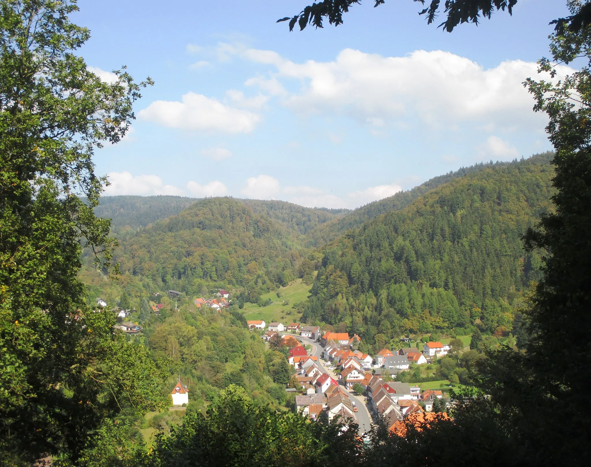
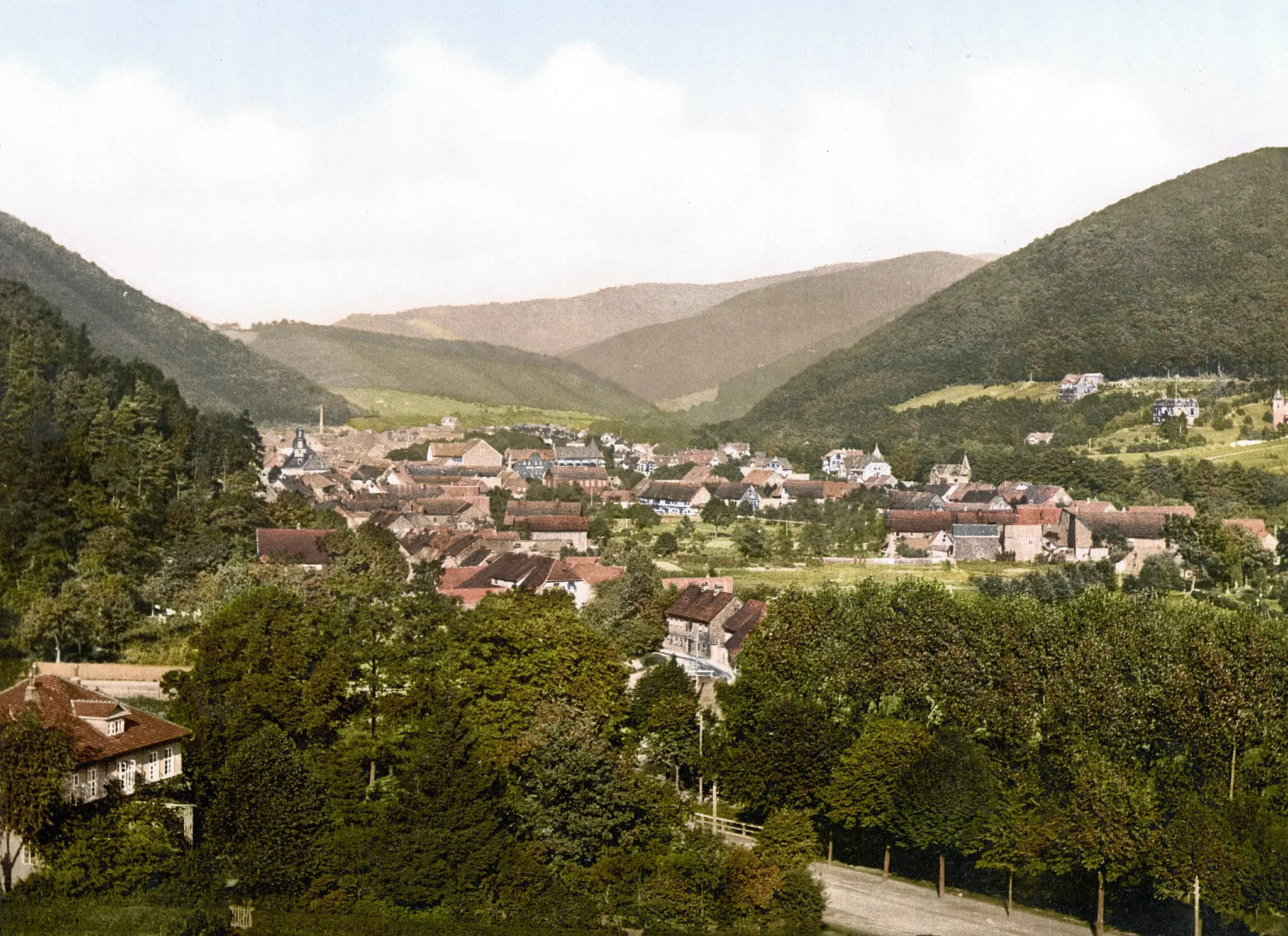
Start: Ellrich City centerEllrich: Exploring rolling hills in Thüringen
Ellrich, situated in Thüringen, Germany, is a good option for road and gravel cyclists. The town boasts a well-developed cycling infrastructure, with designated cycling paths and trails. The region is hilly, offering both challenging climbs and gentler slopes for different cycling preferences. Nearby, cyclists can find the famous Selketalbahn railway, where they can combine a cycling trip with a nostalgic train ride. Ellrich itself offers access to various cycling routes that wind through charming countryside and villages. Cyclists can expect scenic views and a varied terrain, making it a great destination for cycling enthusiasts.0 km
0 km
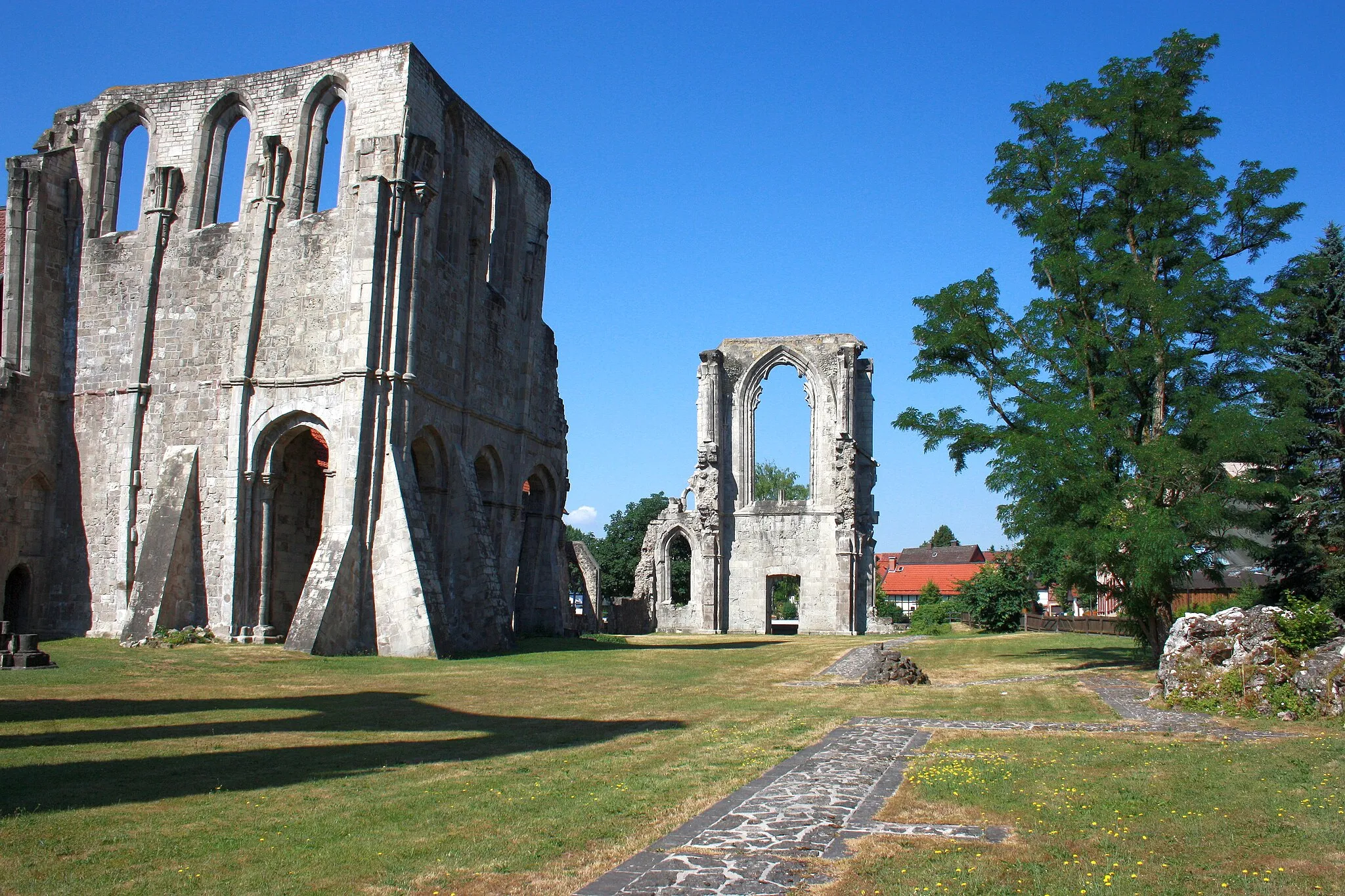
EllrichTownEllrich, a charming town with a rich history
0 km
0 km
HexentanzplatzViewpointHexentanzplatz, a fascinating rock formation
15 km
15 km
Stöberhai720 mPeakStöberhai, a picturesque hill with panoramic views
28 km
28 km
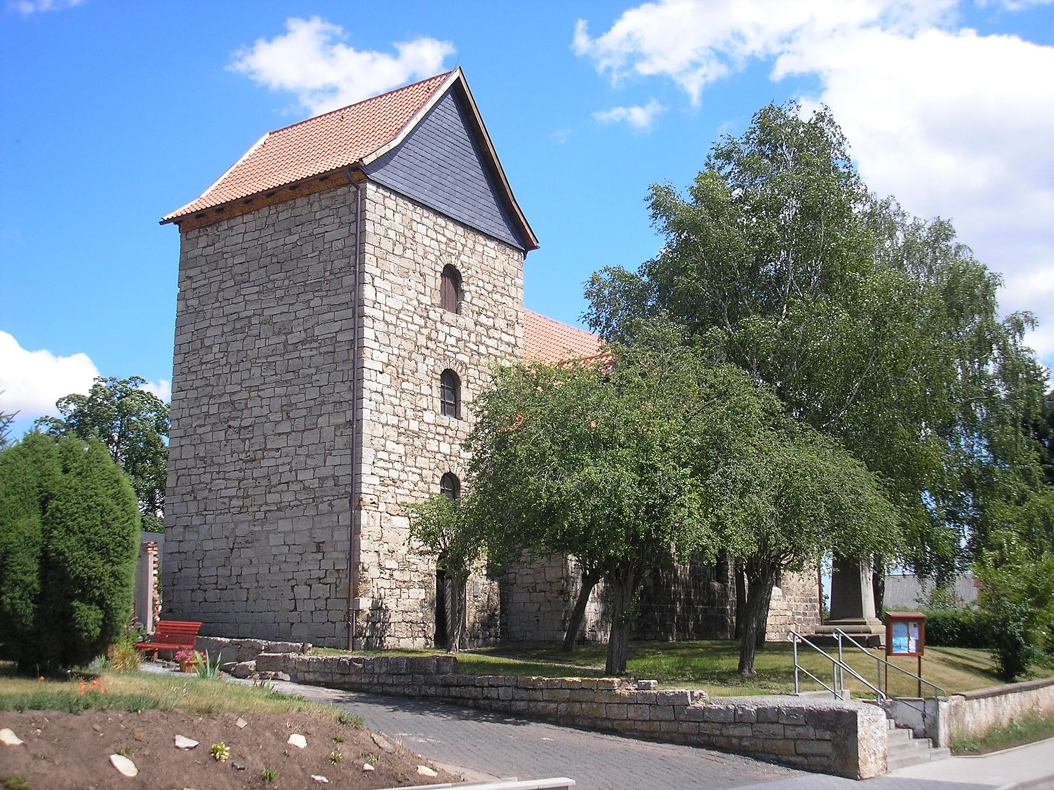
KönigshofHamletKönigshof, a peaceful village surrounded by lush forests
33 km
33 km
Jordanshöhe723 mPeakJordanshöhe, a scenic viewpoint with stunning nature views
45 km
45 km
KaiserwegShelterKaiserweg, a rocky trail with challenging terrain
48 km
48 km
Wagnerskopf633 mPeakWagnerskopf, a hill with breathtaking panoramic views
58 km
58 km
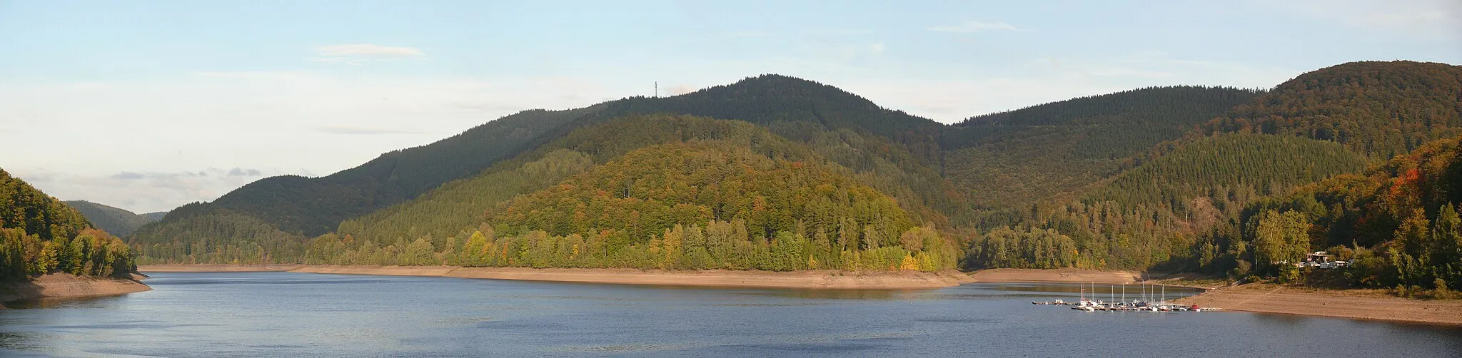
Großer Mittelberg400 mPeakGroßer Mittelberg, a majestic mountain offering breathtaking views of the Thuringian countryside
60 km
60 km
Finish: Ellrich City centerEllrich: Exploring rolling hills in Thüringen
Cycling routes from Ellrich:
Cycling routes nearby: