Ellrich to Galgenberg
A road cycling route starting from Ellrich
Cycle through the beautiful landscapes of Thüringen and enjoy stunning views along the route.
Map
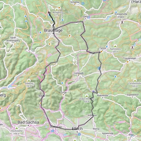
This cycling route starts in Ellrich, Thüringen and takes you through scenic landscapes, charming villages, and historical landmarks. With an ascent of 1015m and a distance of 60km, this road route offers a moderate challenge for well-trained amateurs. The route passes through highlights such as Hexentanzplatz, Knicking, Braunlage, and Galgenberg. Along the way, you will encounter picturesque viewpoints, natural highlights, and cultural attractions.
road
60 km
1015 m
Tough
Route profile
Highlights on the route
0 km
0 km
Start: Ellrich City centerEllrich: Exploring rolling hills in Thüringen
Ellrich, situated in Thüringen, Germany, is a good option for road and gravel cyclists. The town boasts a well-developed cycling infrastructure, with designated cycling paths and trails. The region is hilly, offering both challenging climbs and gentler slopes for different cycling preferences. Nearby, cyclists can find the famous Selketalbahn railway, where they can combine a cycling trip with a nostalgic train ride. Ellrich itself offers access to various cycling routes that wind through charming countryside and villages. Cyclists can expect scenic views and a varied terrain, making it a great destination for cycling enthusiasts.0 km
0 km
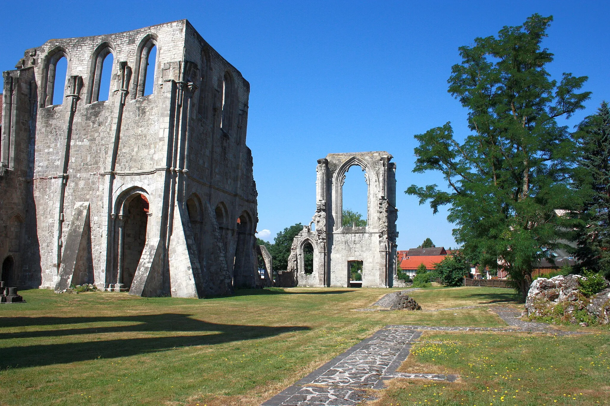
EllrichTownEllrich is a charming town known for its well-preserved medieval city walls.
1 km
1 km
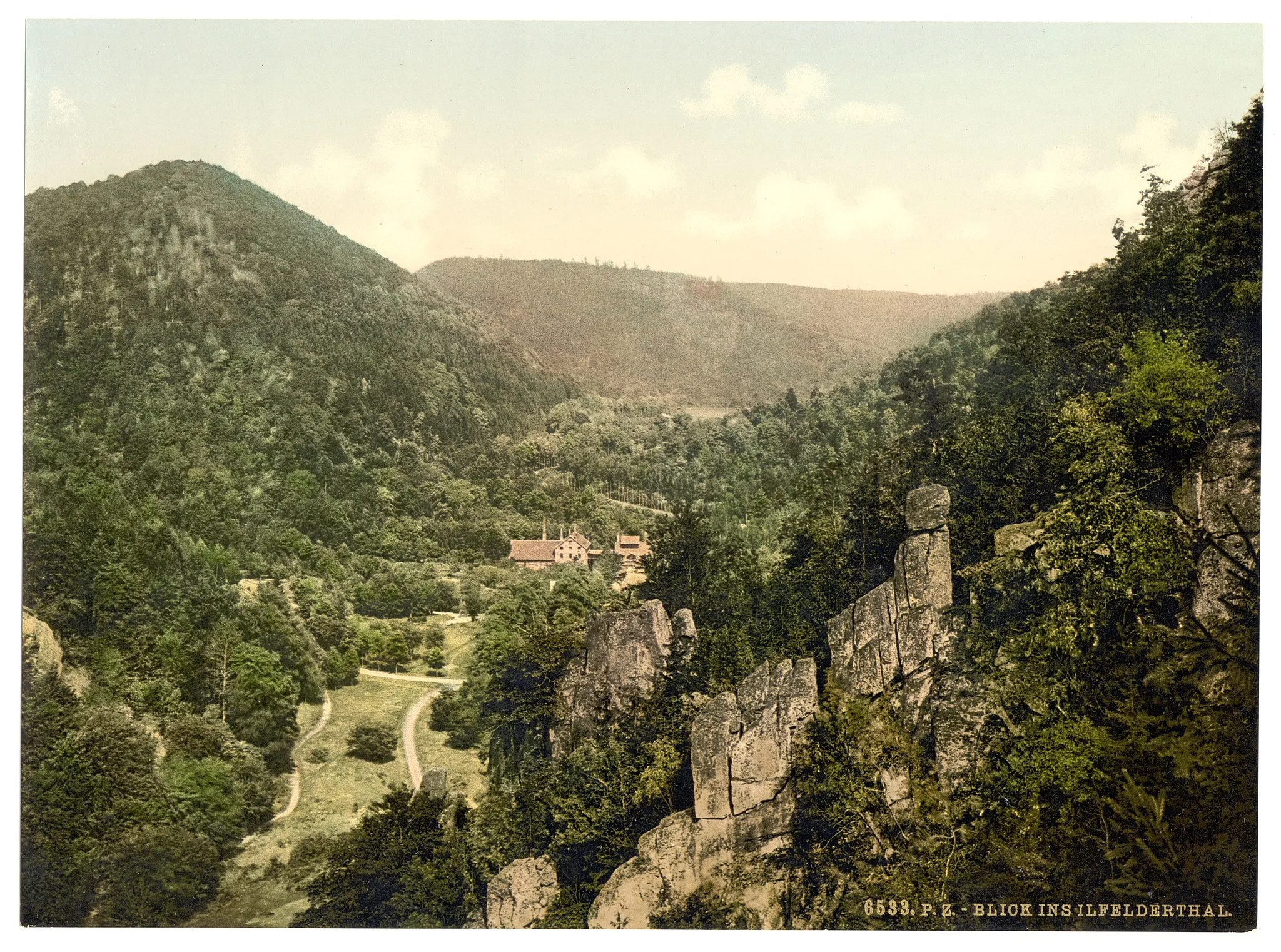
HexentanzplatzViewpointHexentanzplatz is a popular tourist spot with a scenic view over the Harz mountain range.
9 km
9 km
Knicking505 mPeakKnicking is a small village surrounded by beautiful forests, offering peaceful cycling routes.
9 km
9 km
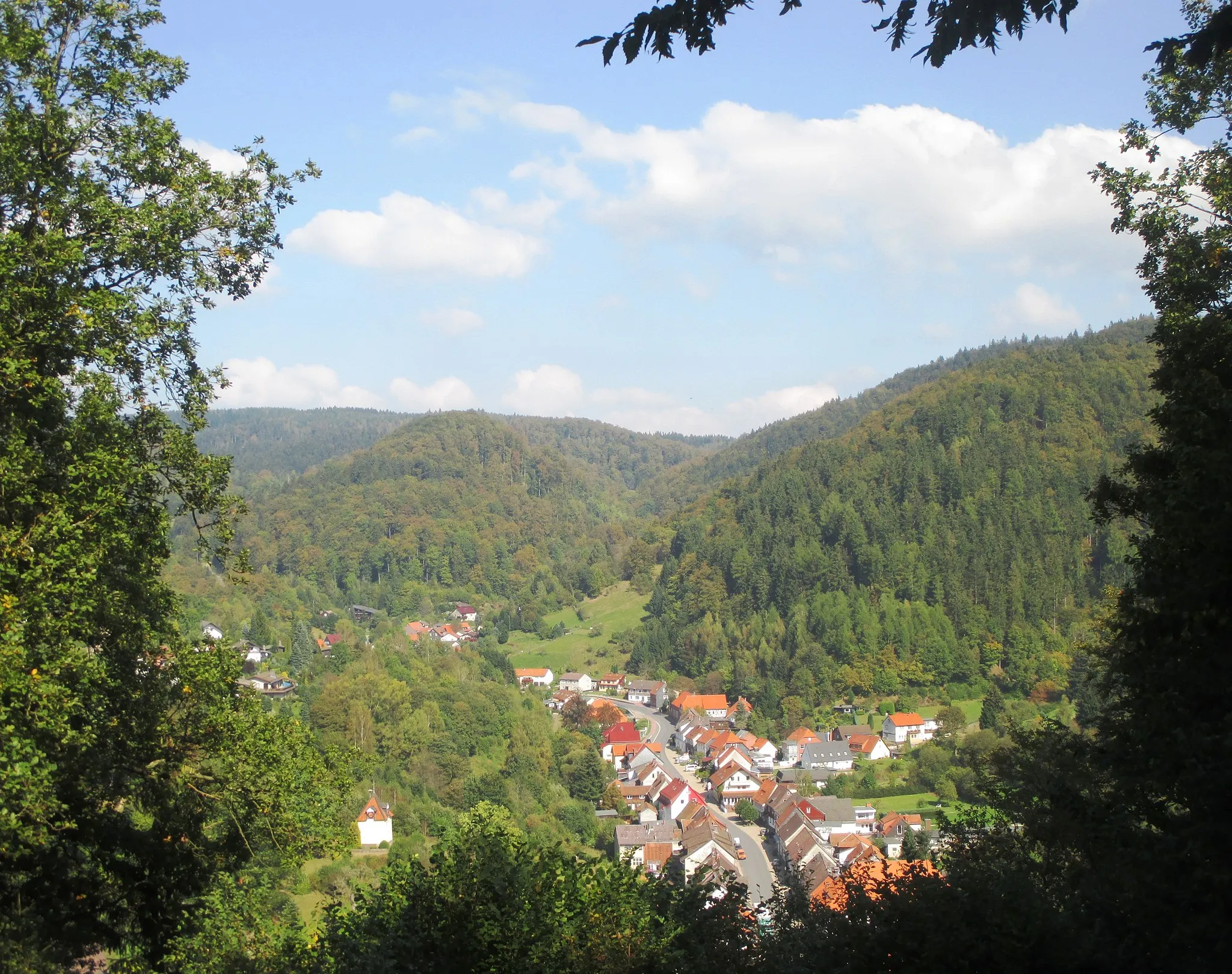
WiedaVillageWieda is a traditional Harz village known for its timber-framed houses.
22 km
22 km
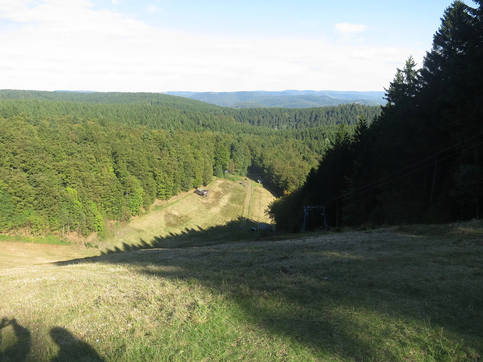
Hasselkopf620 mPeakHasselkopf is a hill with a panoramic view of the surrounding landscapes.
23 km
23 km
BraunlageTownBraunlage is a popular destination for winter sports and offers various outdoor activities.
34 km
34 km
Amkenberg591 mPeakAmkenberg is a small village with historic buildings and scenic countryside.
35 km
35 km
ElendVillageElend is a tranquil village at the foot of the Brocken, the highest peak in the Harz Mountains.
47 km
47 km
Stadt Benneckenstein (Harz)Sub-urbStadt Benneckenstein is a picturesque town with timber-framed houses and charming streets.
53 km
53 km
Großer Ehrenberg635 mPeakGroßer Ehrenberg offers a challenging climb and rewards you with fantastic views from the top.
60 km
60 km
Galgenberg280 mPeakGalgenberg is a historic site that served as a gallows hill in the past and offers panoramic views of the area.
60 km
60 km
Finish: Ellrich City centerEllrich: Exploring rolling hills in Thüringen
Cycling routes from Ellrich:
Cycling routes nearby: