Thüringer Hills
A road cycling route starting from Foeritz
Embark on a challenging road cycling adventure through the hills of Thüringen
Map
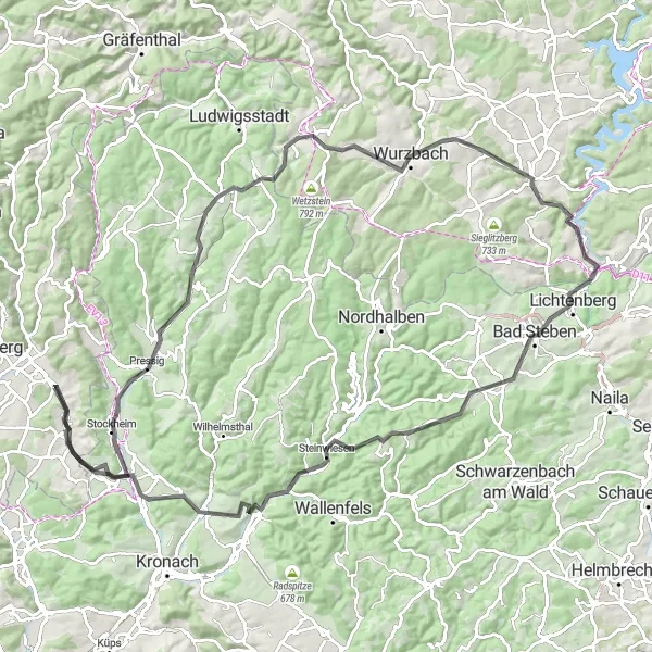
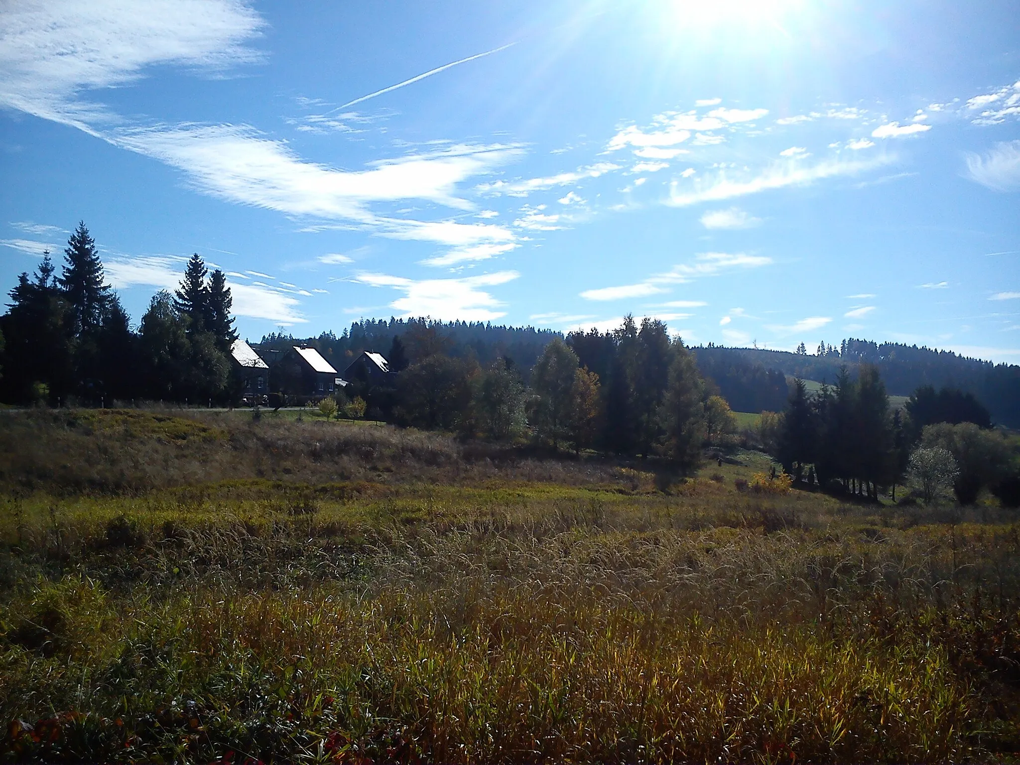
This road cycling route takes you through the undulating hills of Thüringen, providing a perfect challenge for road biking enthusiasts. With an ascent of 1,644 meters and a distance of 111 kilometers, this route is best suited for experienced cyclists. Highlights include the exhilarating climb up Eilaberg and the picturesque town of Pressig. Lehesten offers stunning landscapes, while Culm provides a peaceful atmosphere. Drachenfels and Lichtenberg offer breathtaking views, while Gerlaser Höhe allows for a thrilling downhill ride. Steinwiesen and Weinberg provide scenic stops along the way, and Neuhaus-Schierschnitz offers a taste of history. This round-trip cycling route is an epic adventure through the beautiful Thüringer hills.
road
111 km
1644 m
Tough
Route profile
Highlights on the route
0 km
0 km
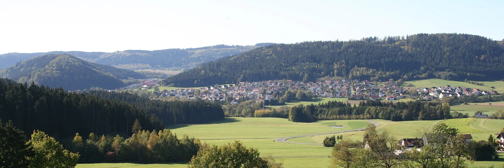
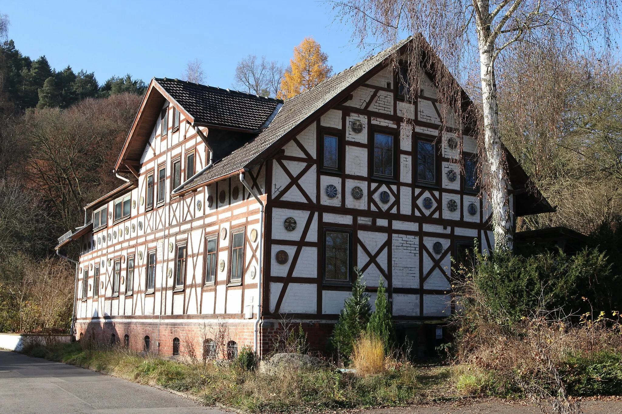
Start: Föritz Village centerFöritz: Conquer the legendary climbs and challenging terrains of Föritz, Germany.
Föritz is a locality in Thüringen, Germany. From a cyclist's perspective, Föritz offers challenging terrains with rolling hills, making it suitable for road cyclists looking for some climbing action. The area is surrounded by picturesque nature and there are several well-known climbs nearby like the Rennsteig mountain range. Föritz also offers a great network of gravel and mountain bike trails, providing exciting options for off-road cycling enthusiasts. With its beautiful landscapes and variety of terrains, Föritz is a top destination for cyclists seeking a challenging and rewarding ride. The locality is ranked 5 for its legendary climbs and cycling opportunities.15 km
15 km
Eilaberg520 mPeakConquer the challenging climb up Eilaberg.
16 km
16 km
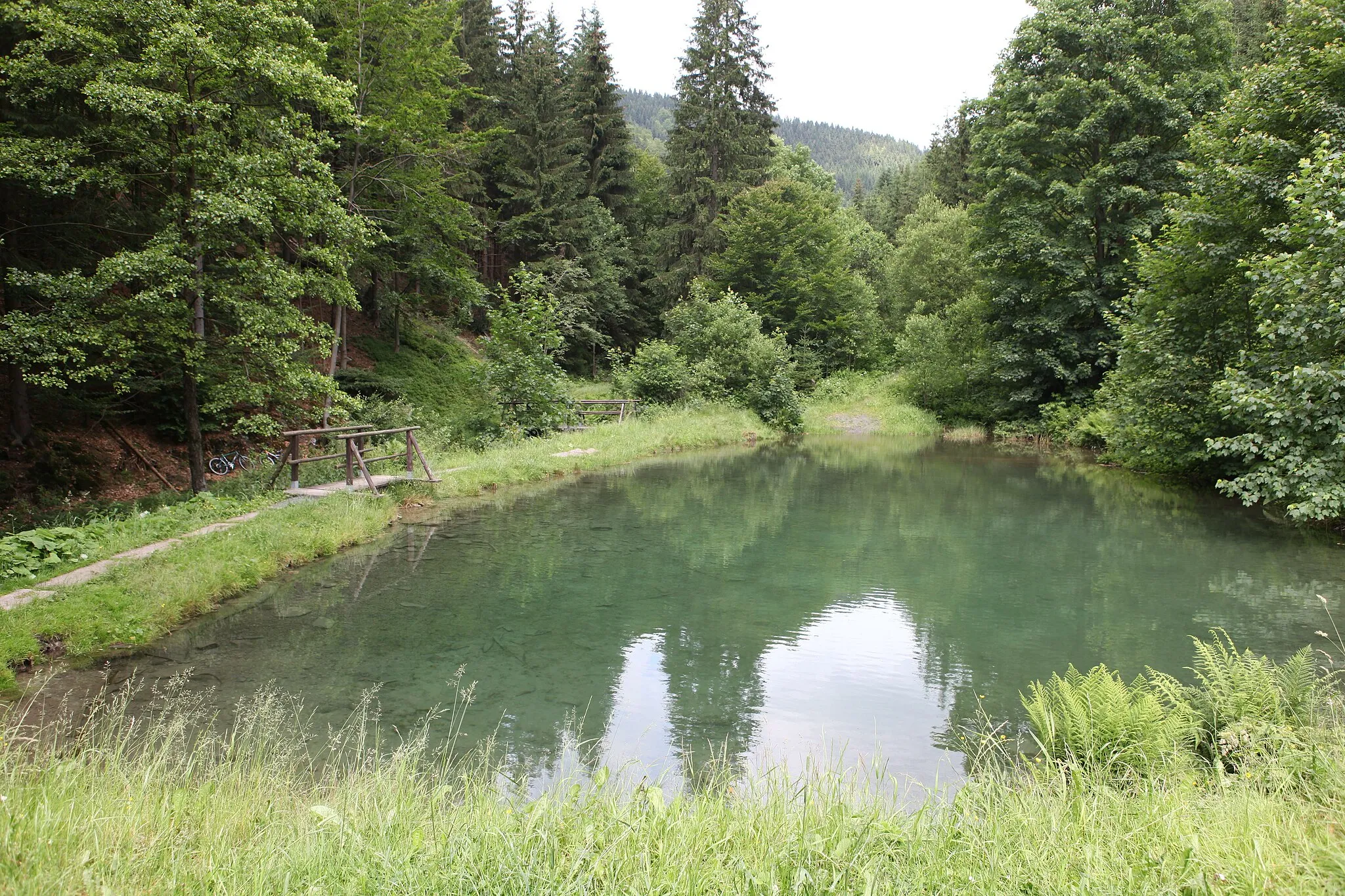
PressigVillageExplore the quaint town of Pressig.
36 km
36 km
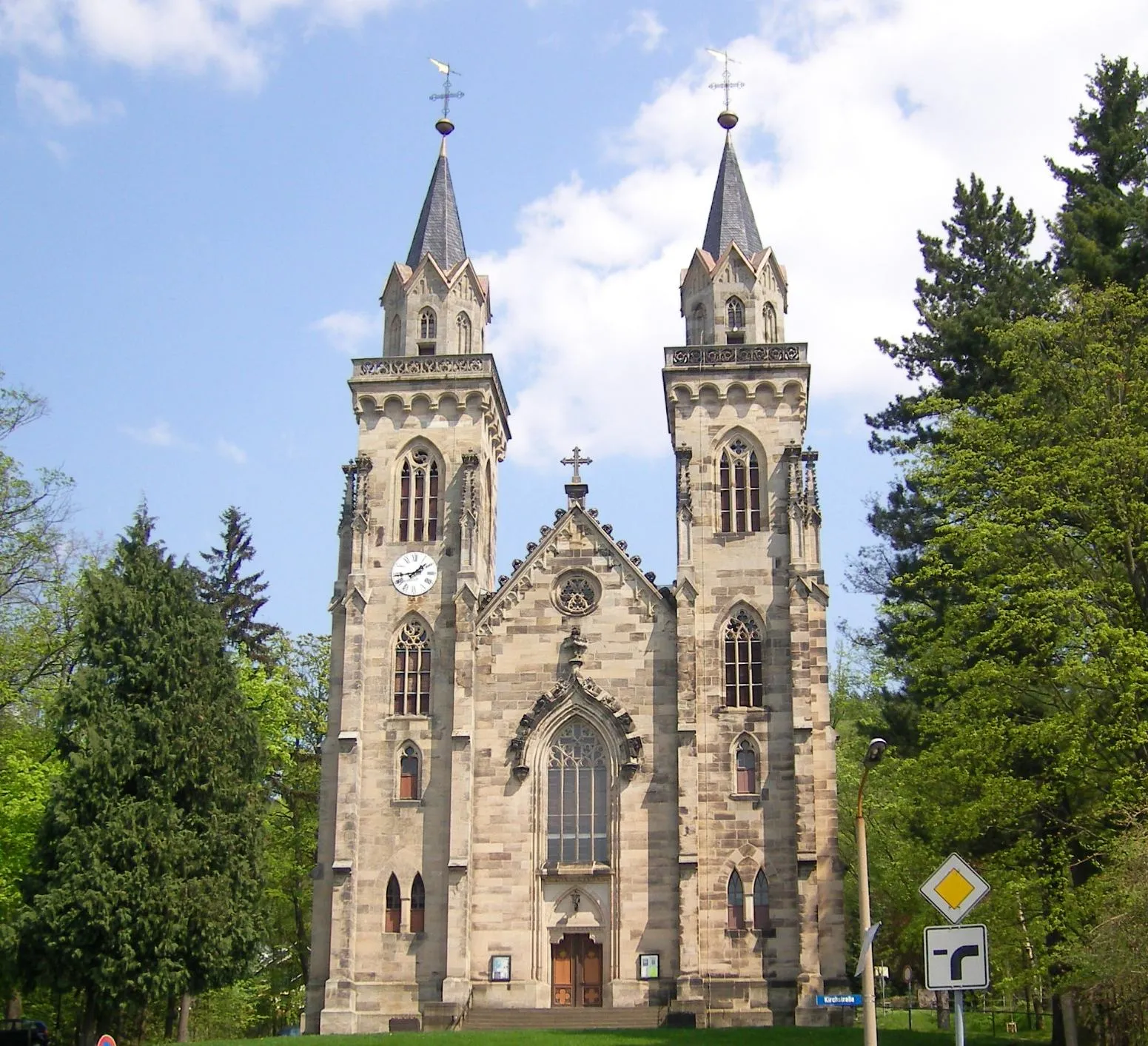
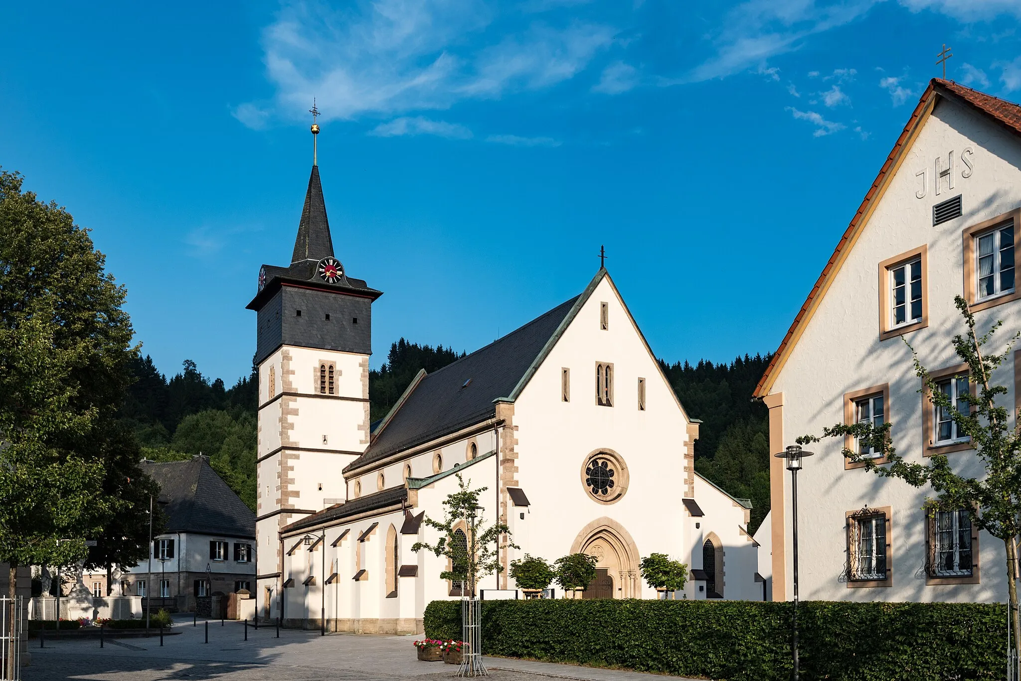
LehestenTownExperience the stunning landscapes of Lehesten.
39 km
39 km
Culm714 mPeakVisit Culm and enjoy the tranquility of the area.
62 km
62 km
DrachenfelsViewpointTake in the breathtaking views from Drachenfels.
64 km
64 km
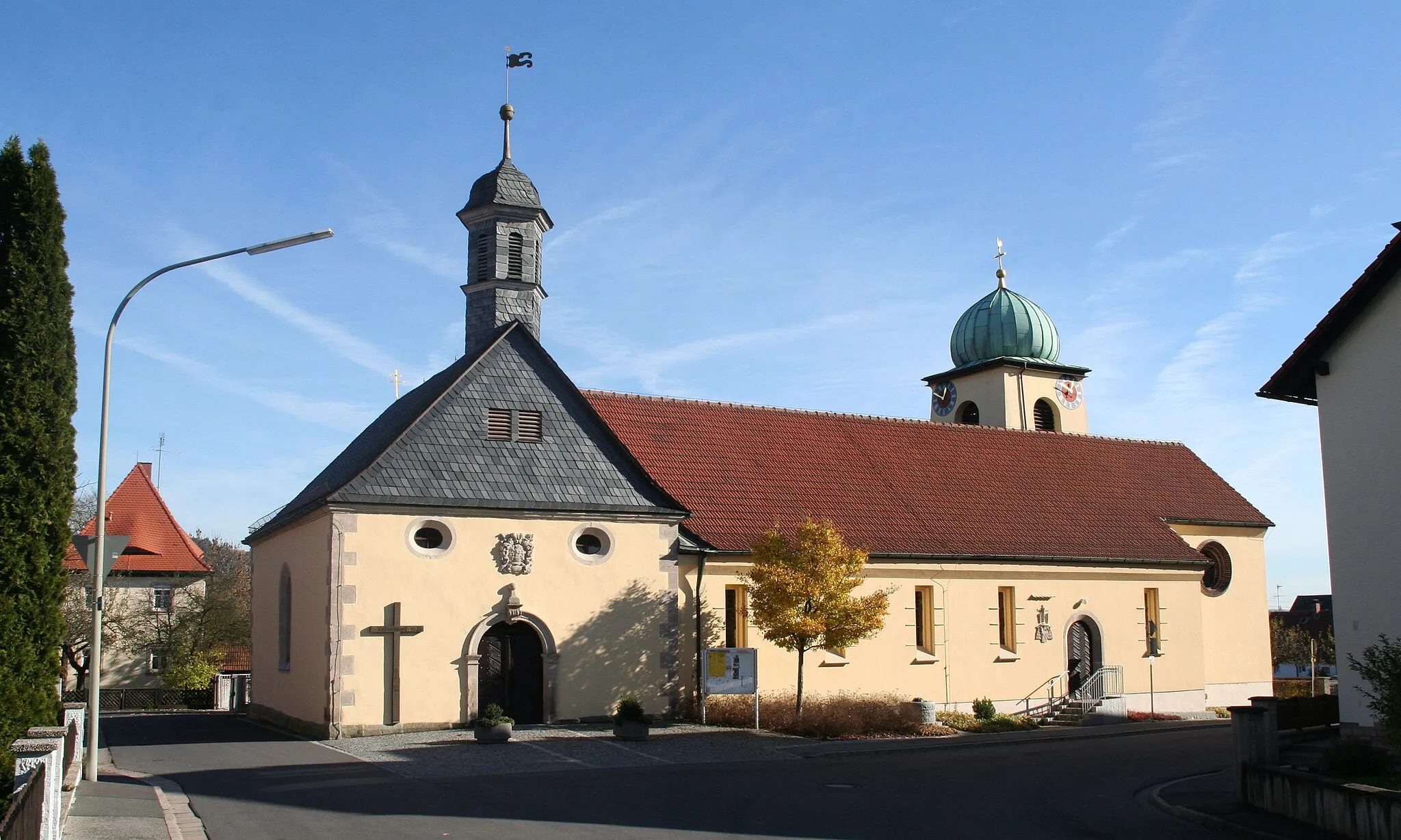
LichtenbergTownAdmire the majestic Lichtenberg castle.
71 km
71 km
Gerlaser Höhe665 mPeakChallenge yourself on the ascent of Gerlaser Höhe.
84 km
84 km
SteinwiesenVillageExplore the charming village of Steinwiesen.
97 km
97 km
Weinberg456 mPeakStop by the picturesque Weinberg area.
108 km
108 km
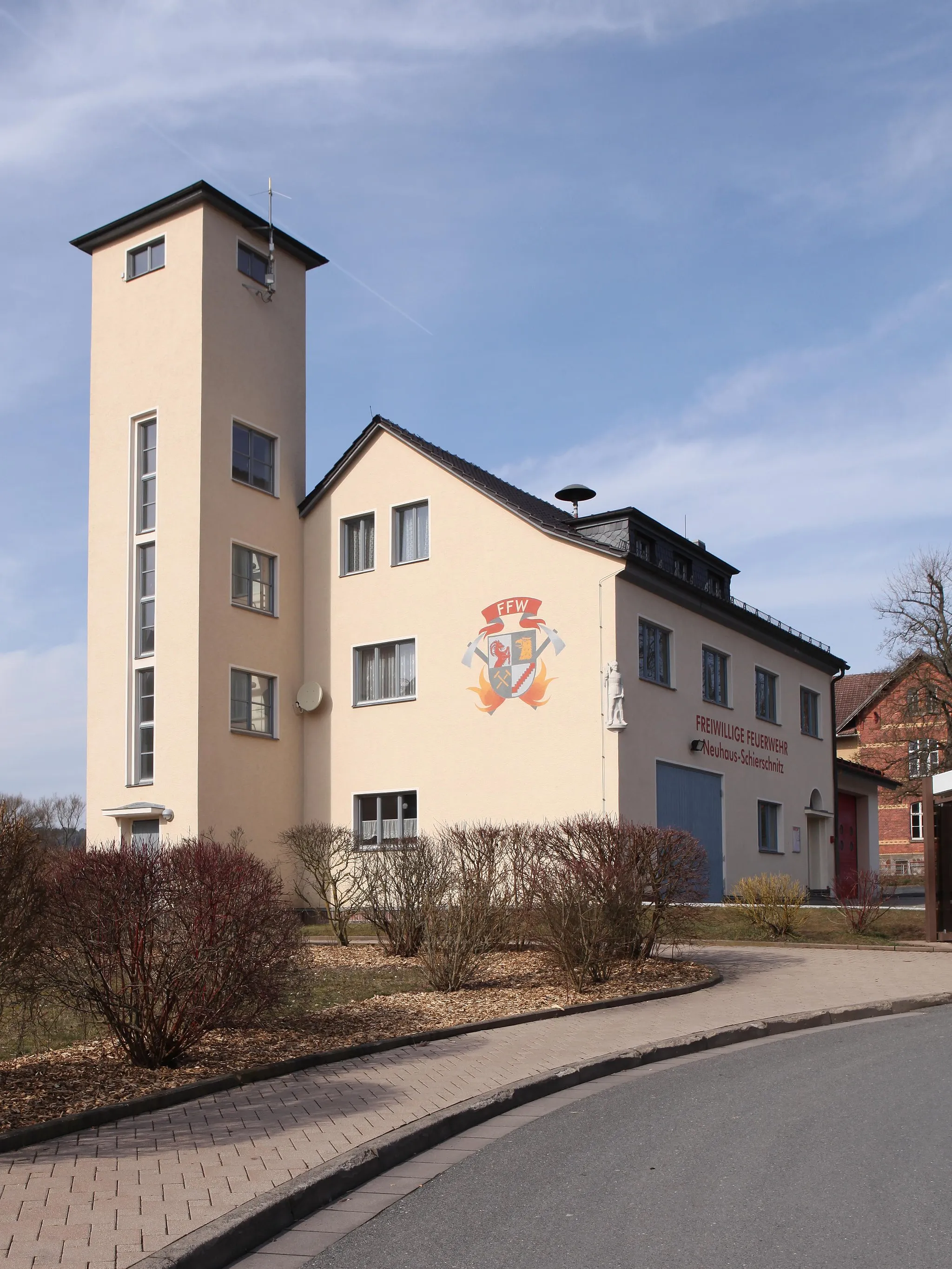
Neuhaus-SchierschnitzVillageDiscover the historic town of Neuhaus-Schierschnitz.
111 km
111 km
Finish: Föritz Village centerFöritz: Conquer the legendary climbs and challenging terrains of Föritz, Germany.
Cycling routes nearby: