Exploring Nature in Thuringia: Lohberg to Gerstungen
A gravel cycling route starting from Gerstungen
Explore the natural beauty of Thuringia on this gravel cycling route
Map
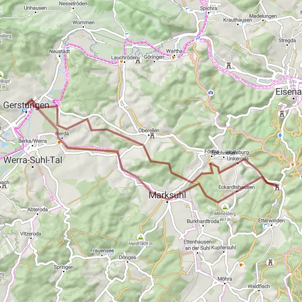
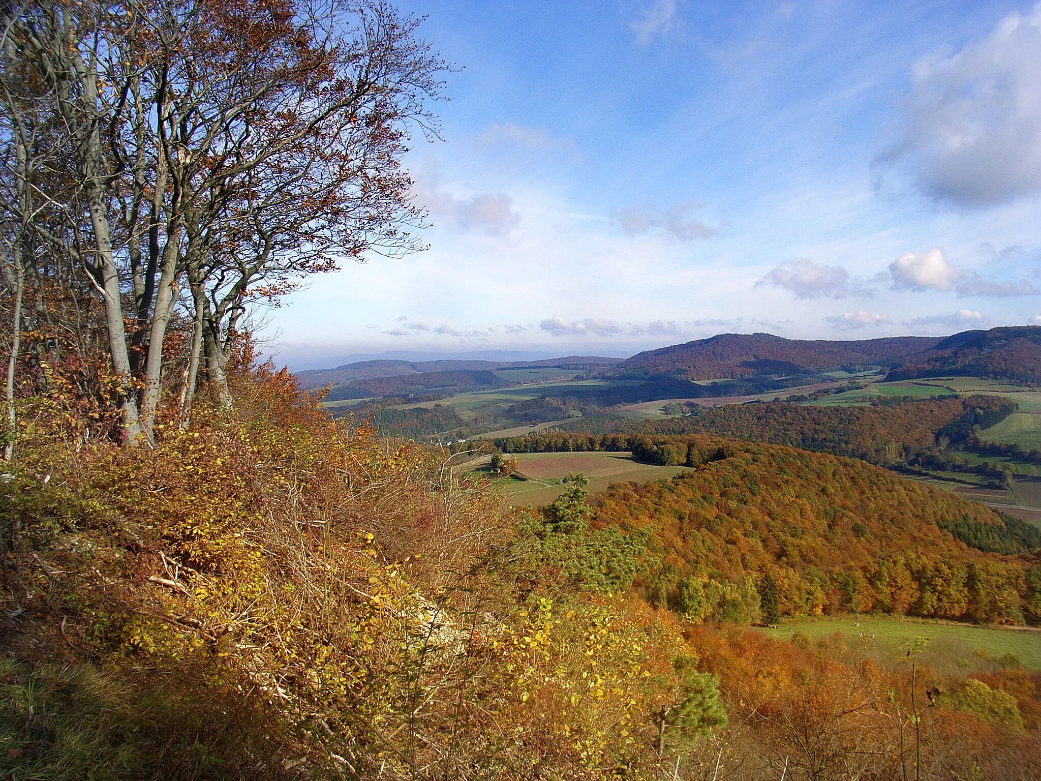
This scenic gravel route takes you on a 47 km journey through the natural beauty of Thuringia, with an ascent of 589 m. Start your adventure in Lohberg, a small village surrounded by lush green forests and rolling hills. Along the way, you'll pass by historic landmarks, charming villages, and stunning viewpoints, providing a unique and immersive cycling experience. Conclude your journey in Gerstungen, a town known for its rich history and beautiful landscapes.
gravel
47 km
589 m
Tough
Route profile
Highlights on the route
0 km
0 km
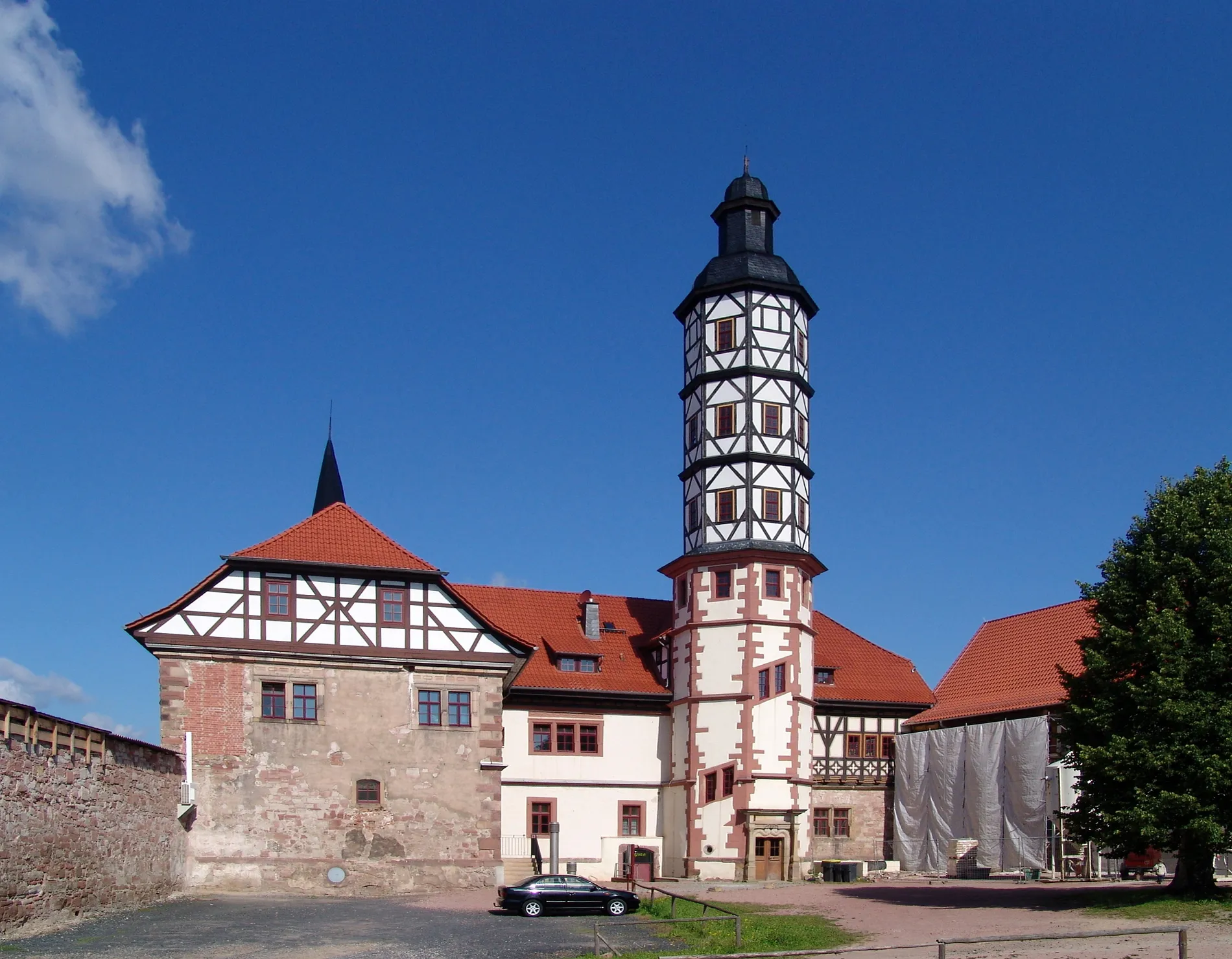
Start: Gerstungen City centerGerstungen: Cycle Through Nature's Wonderland in Gerstungen
Gerstungen, nestled in Thüringen, Germany, is a cyclist's paradise with its diverse terrain and stunning landscapes. Riders can immerse themselves in the region's natural beauty, exploring lush forests, rolling hills, and charming valleys. Gerstungen offers well-maintained roads and a network of cycling paths suitable for both road and gravel cyclists. Cyclists can enjoy relaxing rides along the riverside, discover historic landmarks, and soak in the tranquil ambiance of Gerstungen. The locality is also famous for the legendary XYZ Climb, drawing cycling enthusiasts eager to test their endurance. With its captivating scenery and cyclist-friendly infrastructure, Gerstungen is a must-visit destination for any cycling enthusiast.8 km
8 km
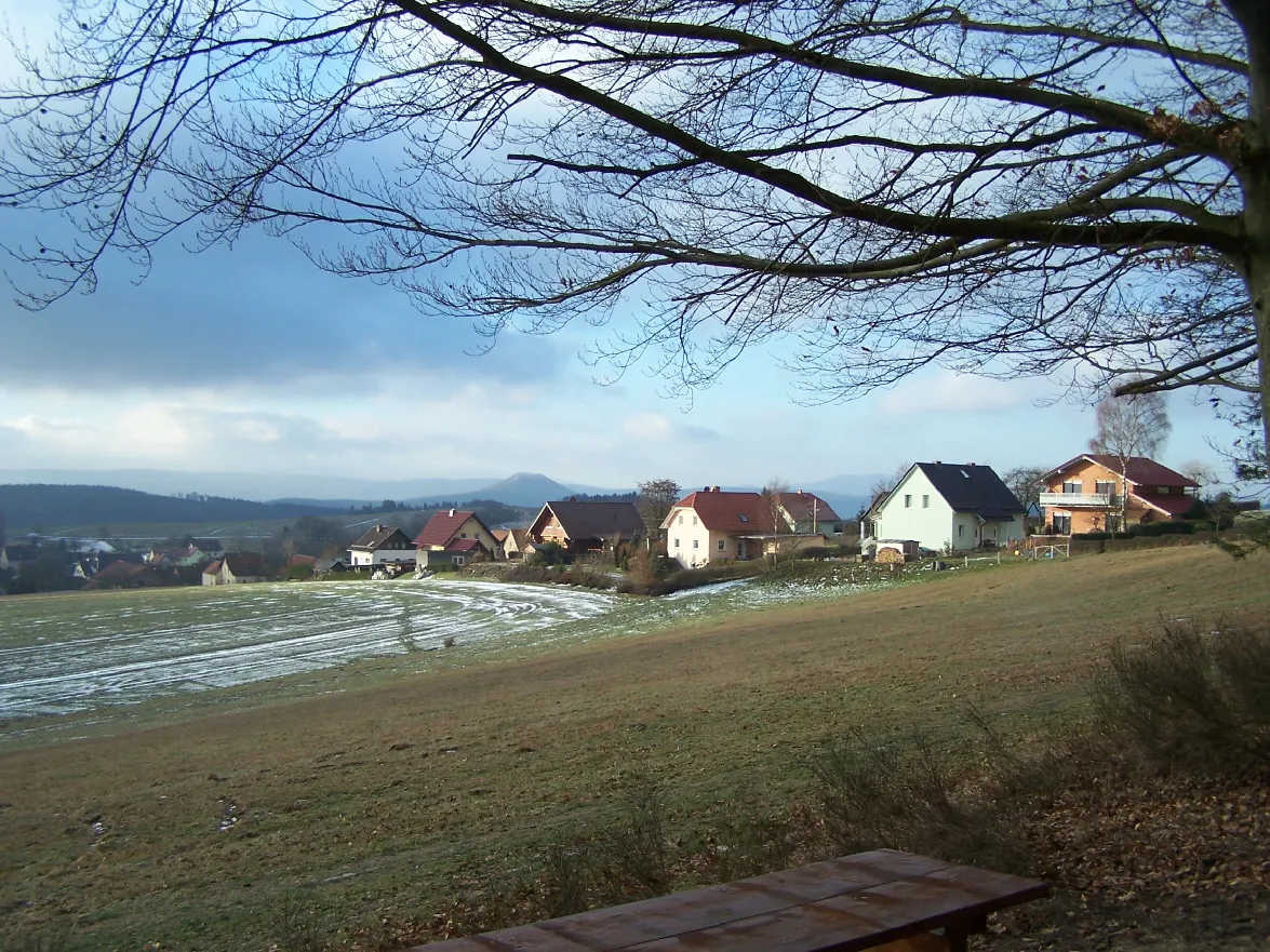
Lohberg265 mPeakBegin your journey in Lohberg and immerse yourself in the peaceful ambiance of this quaint village.
13 km
13 km
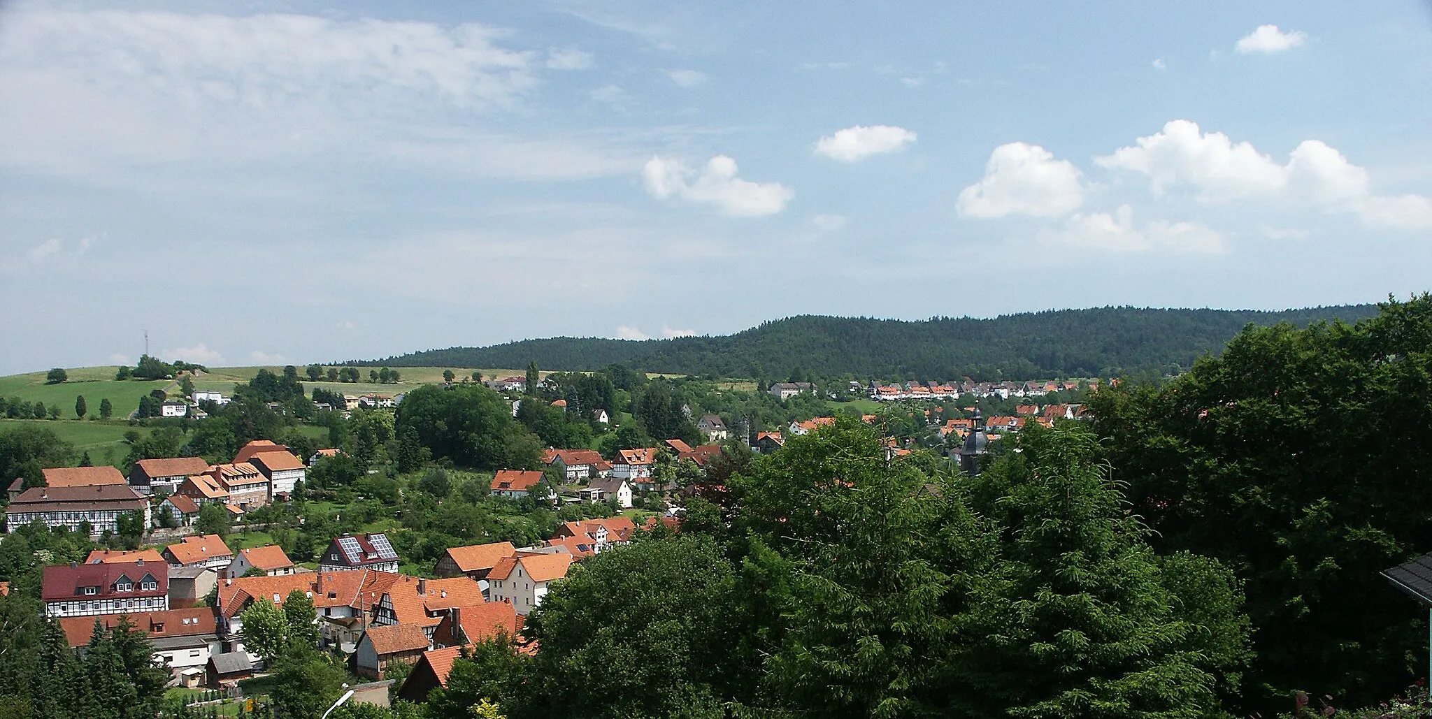
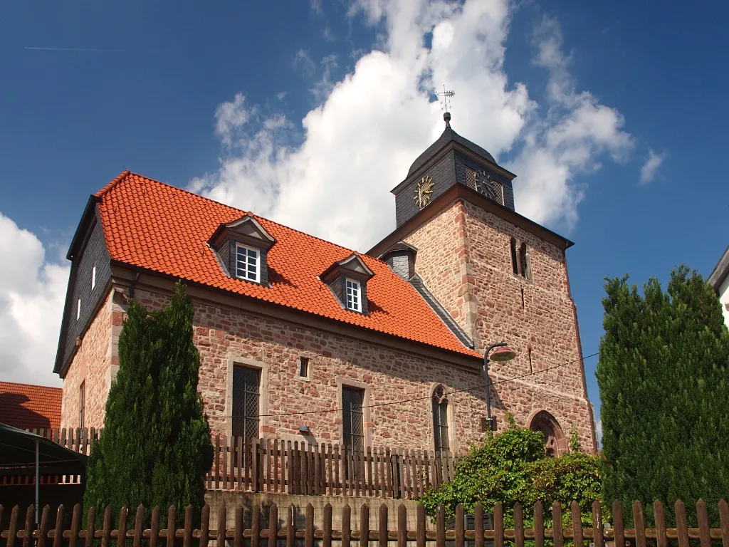
MarksuhlTownAdmire the beauty of Marksuhl, a small town located along the banks of the Werra River.
22 km
22 km
Karthäuserberg424 mPeakVisit Karthäuserberg and explore its enchanting forest trails and hidden viewpoints.
23 km
23 km
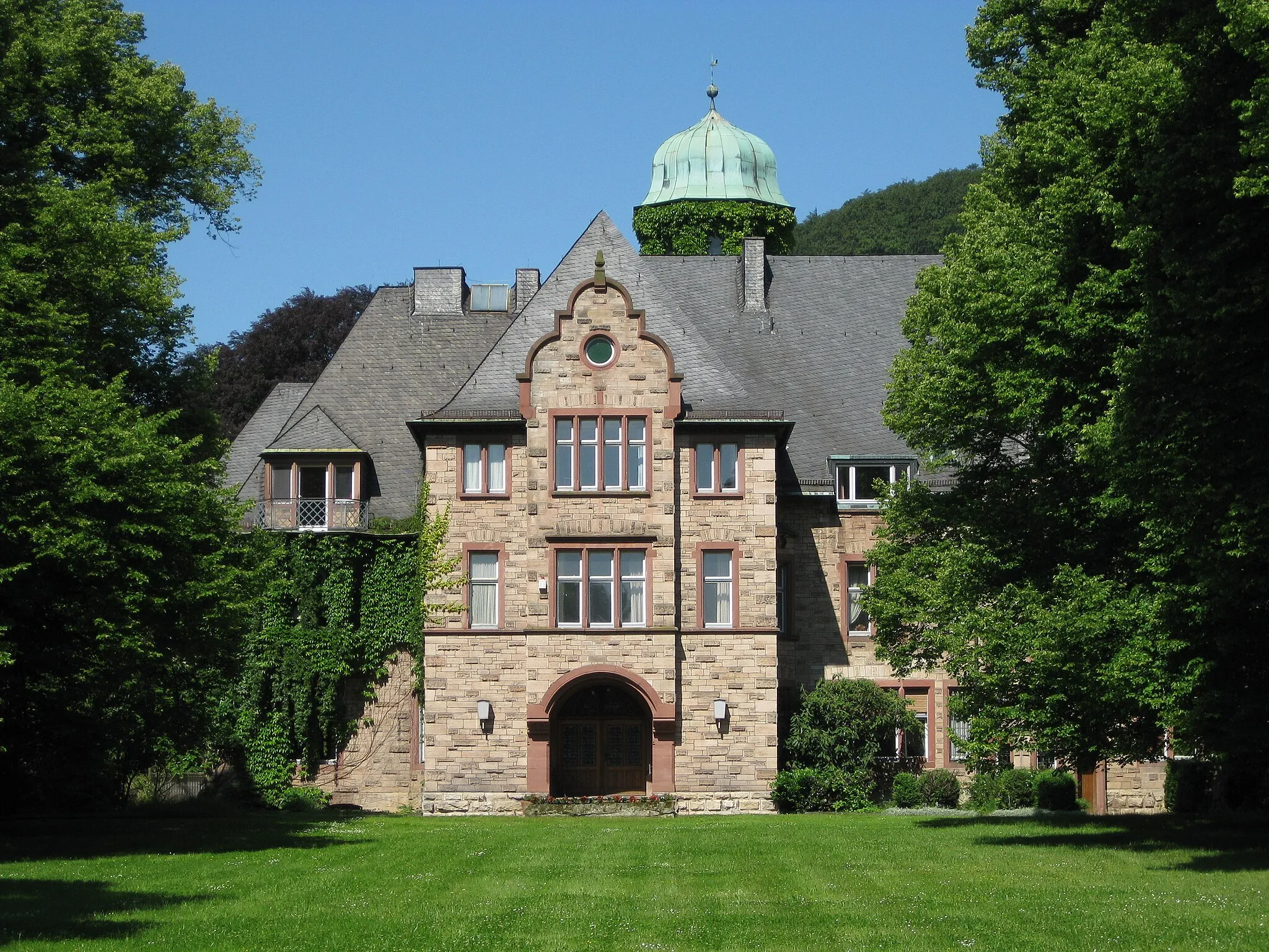
Schloss WilhelmsthalCastleDiscover Schloss Wilhelmsthal, a stunning baroque palace nestled amidst picturesque landscapes.
29 km
29 km
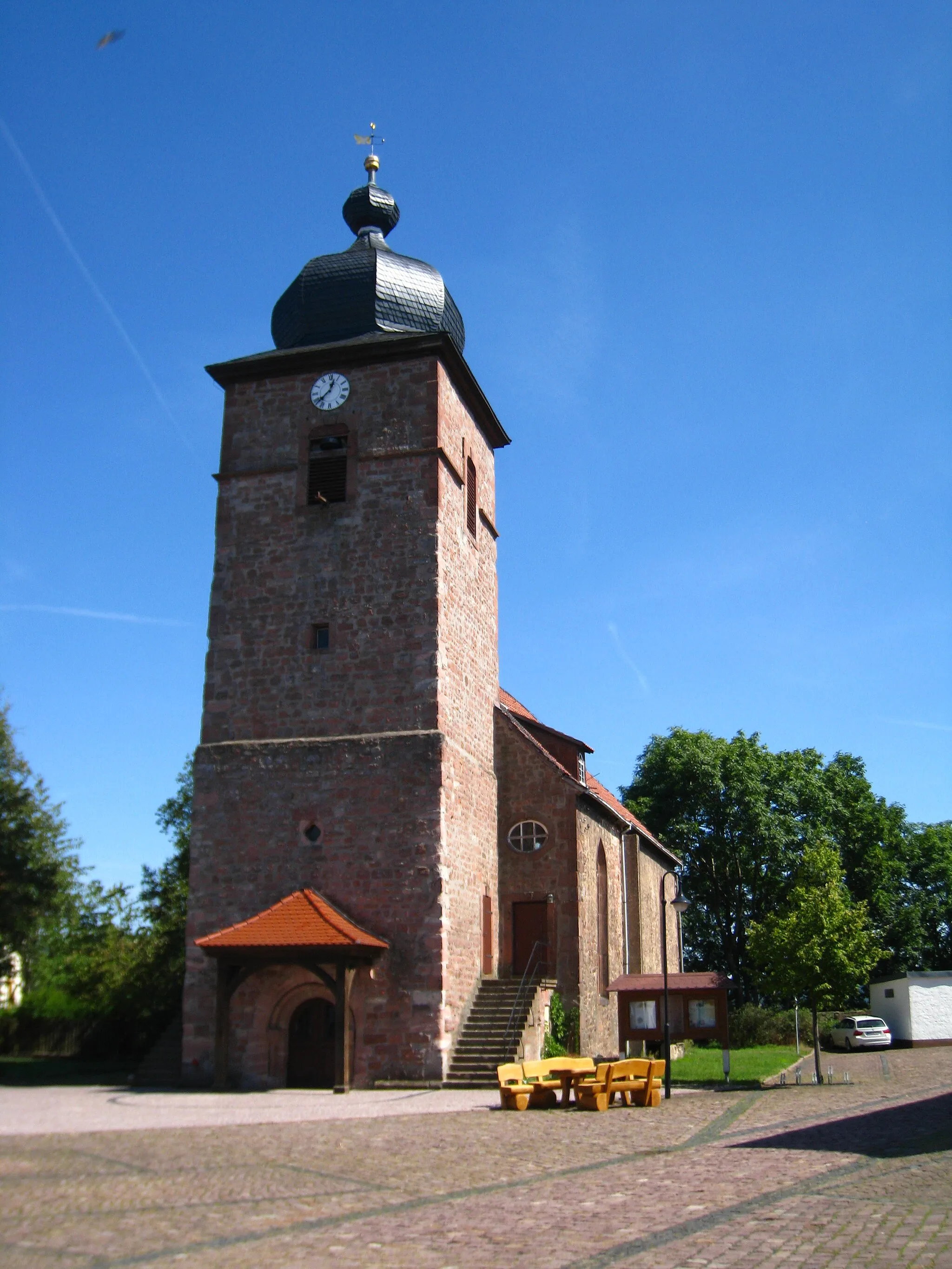
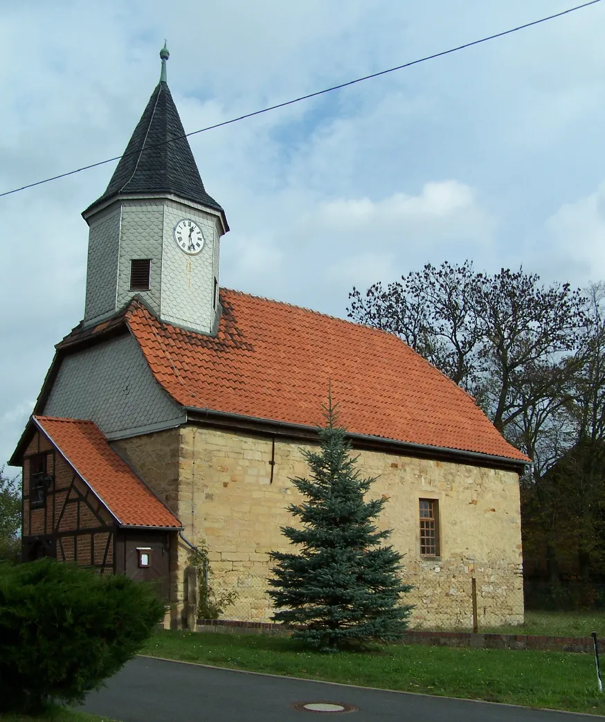
FörthaVillageExplore the charming village of Förtha and its majestic church, a true gem of Thuringia.
34 km
34 km
Lehne392 mPeakPass by Lehne and enjoy the tranquility of this idyllic countryside village.
44 km
44 km
Kolmischer Berg294 mPeak47 km
47 km
GerstungenTownConclude your journey in Gerstungen and take in the beauty of this historic town.
47 km
47 km
Finish: Gerstungen City centerGerstungen: Cycle Through Nature's Wonderland in Gerstungen
Cycling routes from Gerstungen:
Werra Valley Road Cycling Route Werra Valley Road Cycling Adventure Gravel Adventure in the Thuringian Countryside Off-Road Adventure to Kolmischer Berg Exploring Nature in Thuringia: Lohberg to Gerstungen Werra Hills Woodland Gravel Adventure Rural Gravel Loop Landkreis Werra-Meiβner Wartburg Highlands Lindenhauptkopf Loop
Cycling routes nearby: