Off the Beaten Path
A gravel cycling route starting from Hohenleuben
Experience a unique gravel route near Hohenleuben
Map
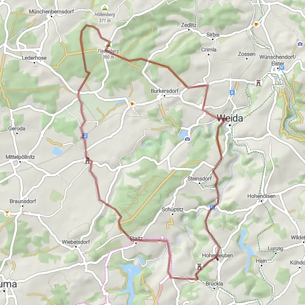
This 39 km gravel route near Hohenleuben provides a unique adventure off the beaten path. Highlights include the start at Hohenleuben, a town brimming with history. As you ride, you'll reach the Sandberg, offering stunning views of the surrounding countryside. The Fladenberg will test your ascent skills, while the quaint village of Köfeln provides a perfect spot to rest. Don't miss Loitsch, a charming location that rounds out this distinctive cycling experience. With moderate difficulty and an epicness score of 3, this route is ideal for outdoor enthusiasts seeking a memorable journey.
gravel
39 km
660 m
Tough
Route profile
Highlights on the route
0 km
0 km
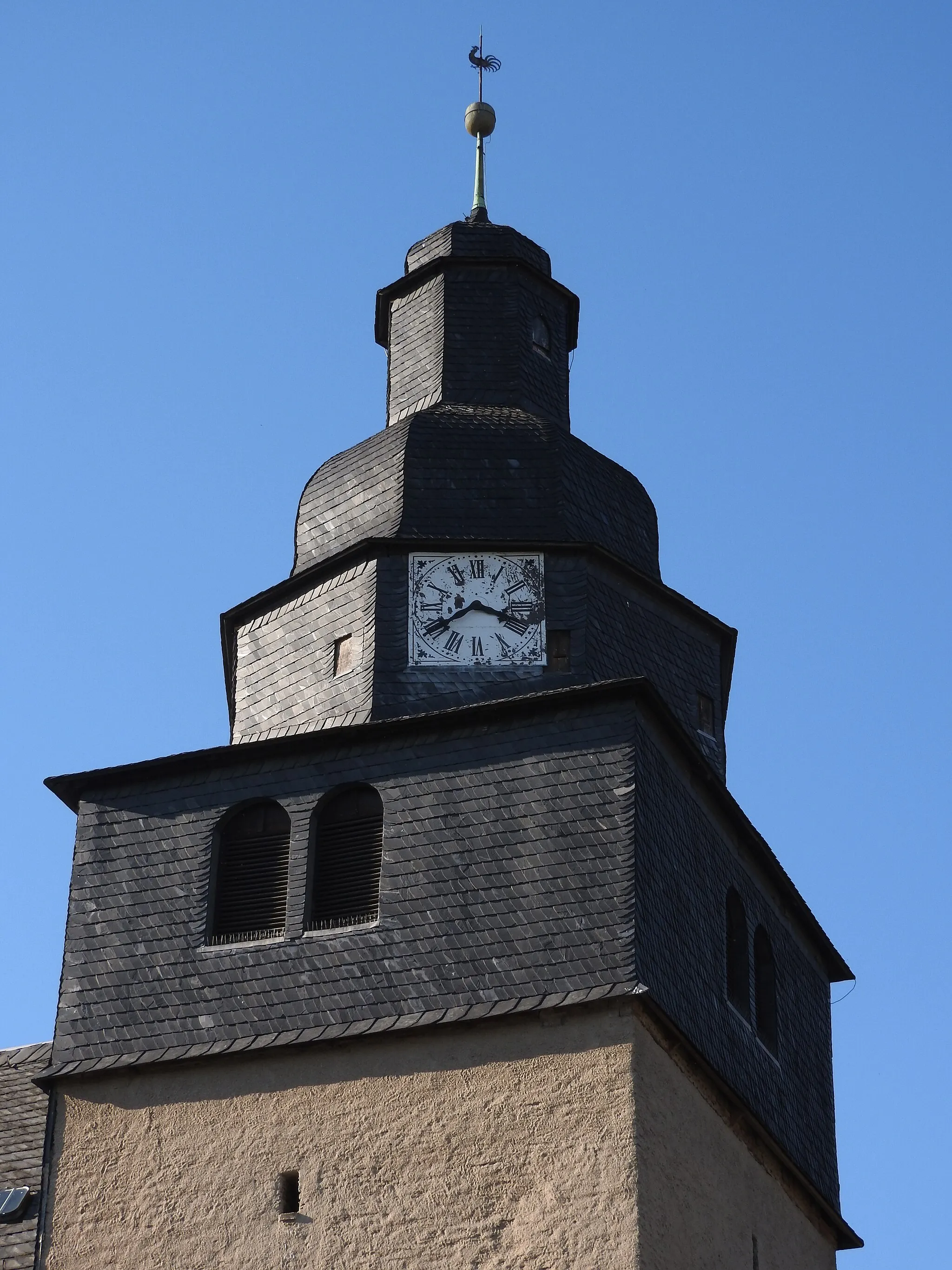
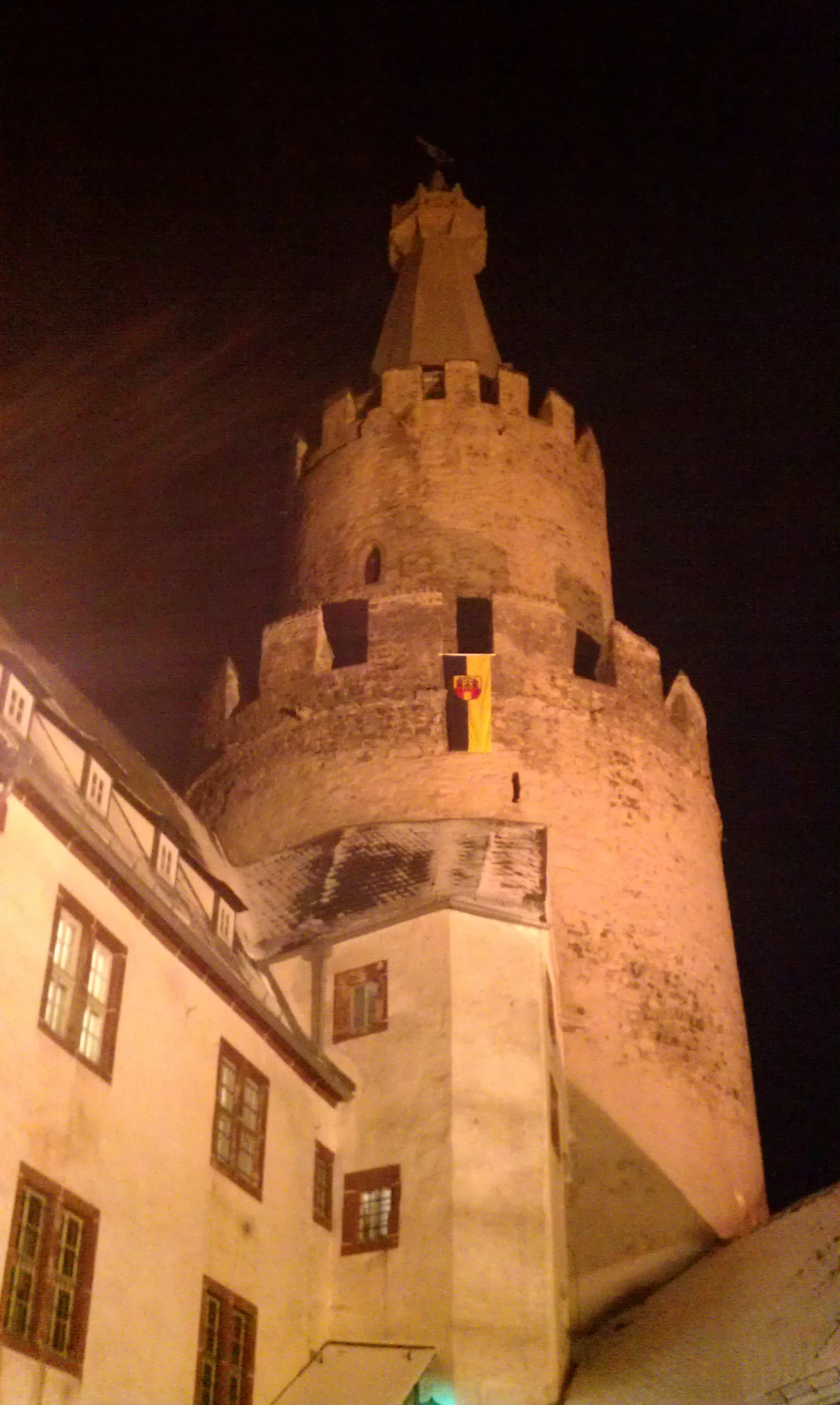
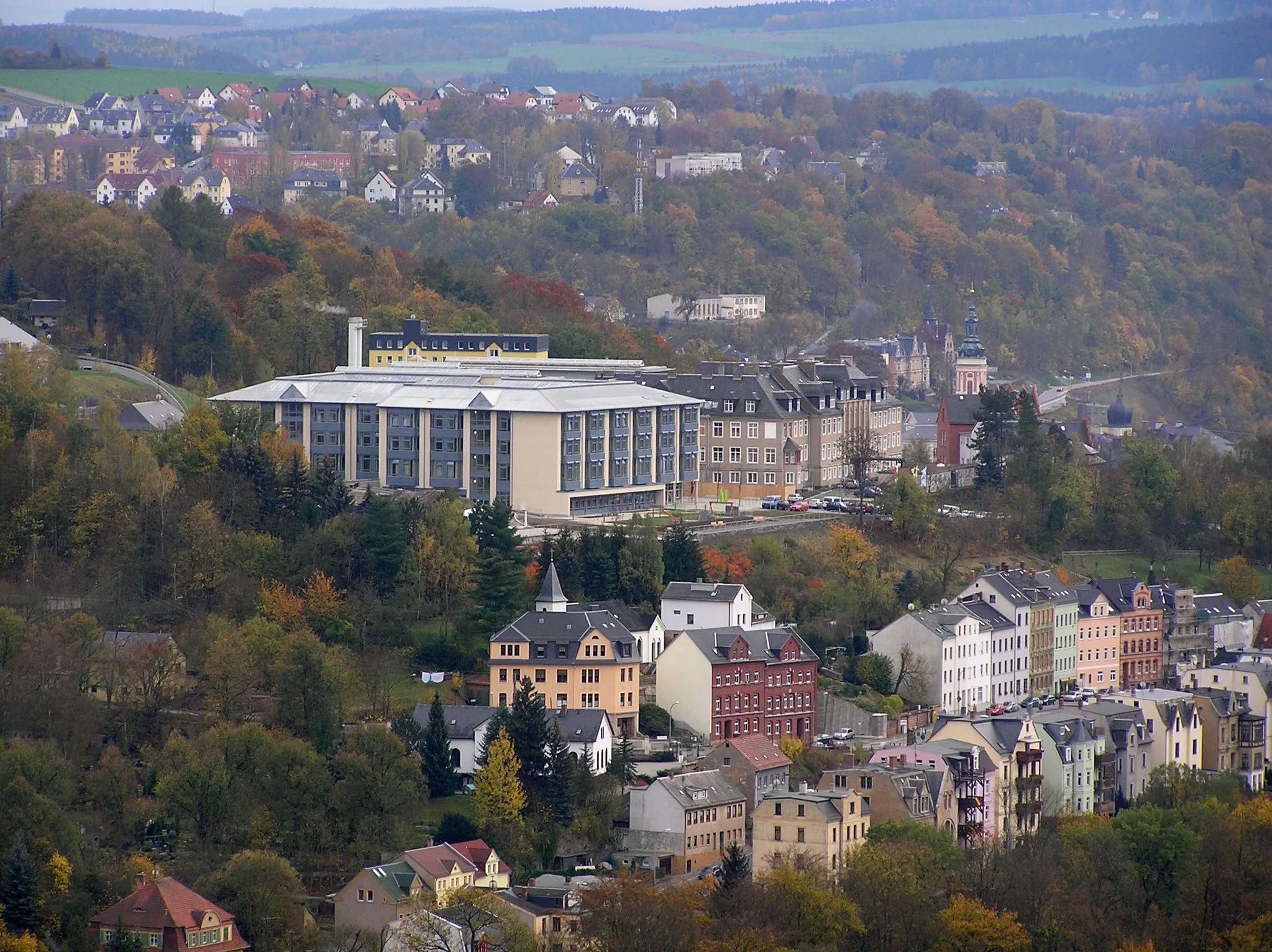
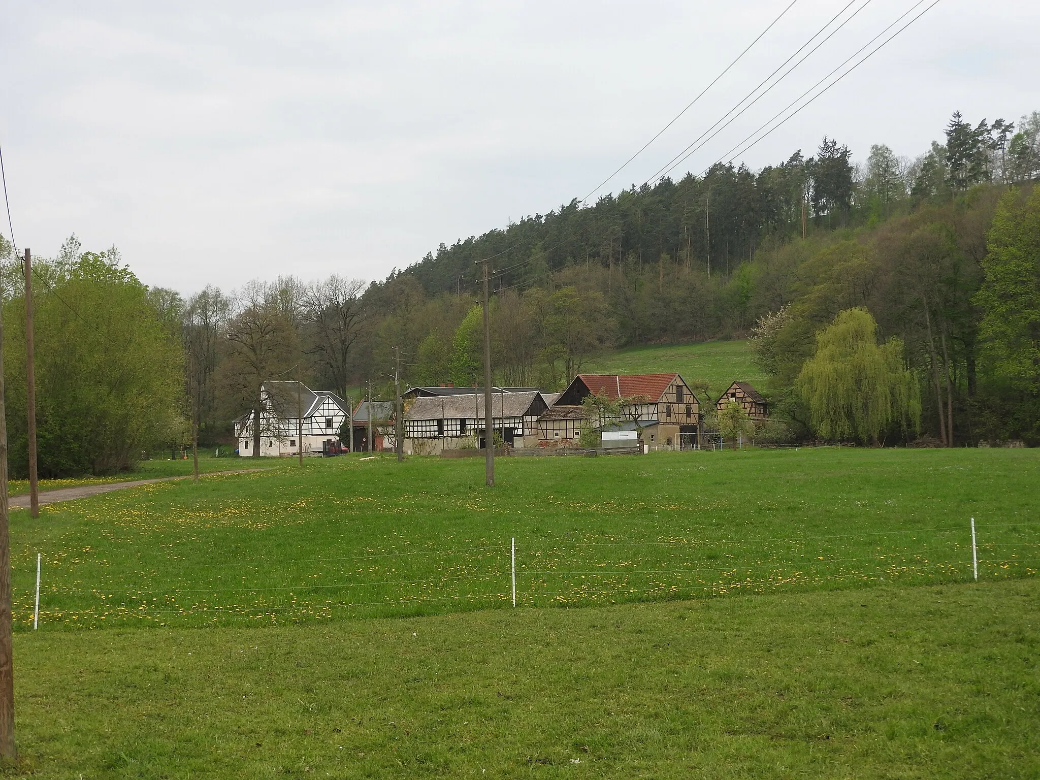
Start: Hohenleuben Village centerHohenleuben: Cycling through the scenic hills and countryside of Hohenleuben in Thüringen.
Hohenleuben is a small town located in Thüringen, Germany. From a cyclist's perspective, Hohenleuben offers scenic routes through rolling hills and charming countryside. The nearby Zeulenroda-Triebes region is known for its cycling infrastructure and well-maintained roads, providing enjoyable rides for cyclists of all skill levels. As for notable climbs, the Winkel Tower climb is a popular challenge among local cyclists. Hohenleuben offers a peaceful and picturesque environment for cyclists to explore the landscapes of Thüringen.0 km
0 km
HohenleubenVillageHohenleuben is a fascinating town rich in history and cultural heritage.
14 km
14 km
Sandberg350 mPeakThe Sandberg offers breathtaking panoramic views of the surrounding landscapes.
21 km
21 km
Fladenberg390 mPeakChallenge yourself with the ascent up Fladenberg, known for its beautiful scenery.
27 km
27 km
KöfelnVillageRest and recharge in the peaceful village of Köfeln, which adds a touch of serenity to your journey.
35 km
35 km
LoitschVillageLoitsch showcases the charm of German countryside living, making it a delightful stop along the route.
39 km
39 km
Finish: Hohenleuben Village centerHohenleuben: Cycling through the scenic hills and countryside of Hohenleuben in Thüringen.
Cycling routes nearby: