The Thuringian Hills Challenge
A road cycling route starting from Langenwetzendorf
Conquer the majestic Thuringian hills on this challenging road cycling route
Map
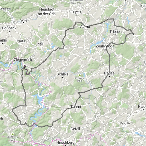
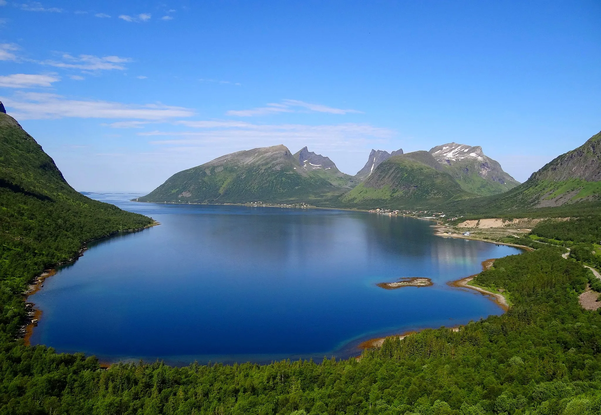
Embark on a demanding cycling journey through the majestic Thuringian hills on this 131 km road route. With an astonishing ascent of 1847 m, this challenging route is reserved for well-trained riders seeking an unforgettable adventure. Discover captivating highlights along the way, such as Hirschbach, known for its breathtaking landscapes, and Bad Lobenstein, where you can relax by the banks of the river Saale. Conclude your journey at Burgruine Reichenfels, where you can explore the ruins of a medieval castle while enjoying stunning views of the surrounding valley.
road
131 km
1847 m
Savage
Route profile
Highlights on the route
0 km
0 km
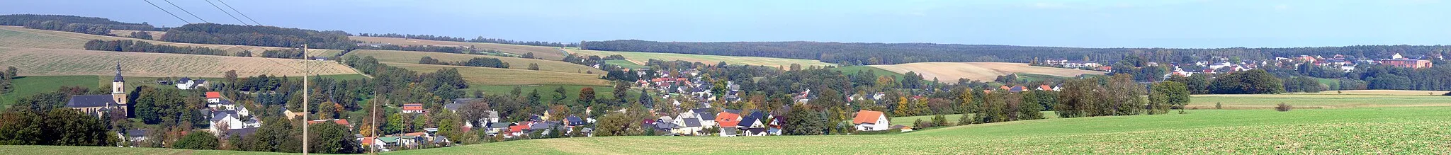
Start: Langenwetzendorf Village centerLangenwetzendorf: Cycle through the picturesque landscapes of Langenwetzendorf, Germany's Thüringen.
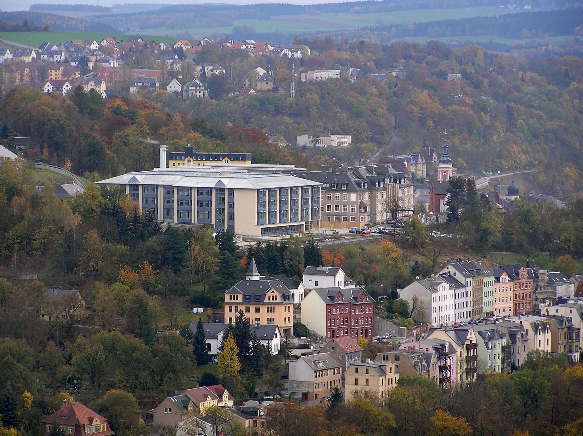
Langenwetzendorf is a small town located in Thüringen, Germany. It offers a mix of flat and hilly terrain, making it suitable for road and gravel cycling. The roads in Langenwetzendorf and its surrounding areas are generally well-maintained, with minimal traffic. While there are no famous cycling spots or well-known climbs directly in Langenwetzendorf, cyclists can explore the scenic routes through the Thuringian Forest or head towards Saalfeld for more challenging climbs.2 km
2 km
HirschbachVillageHirschbach enchants with its dramatic landscapes and panoramic viewpoints that will leave you awestruck.
27 km
27 km
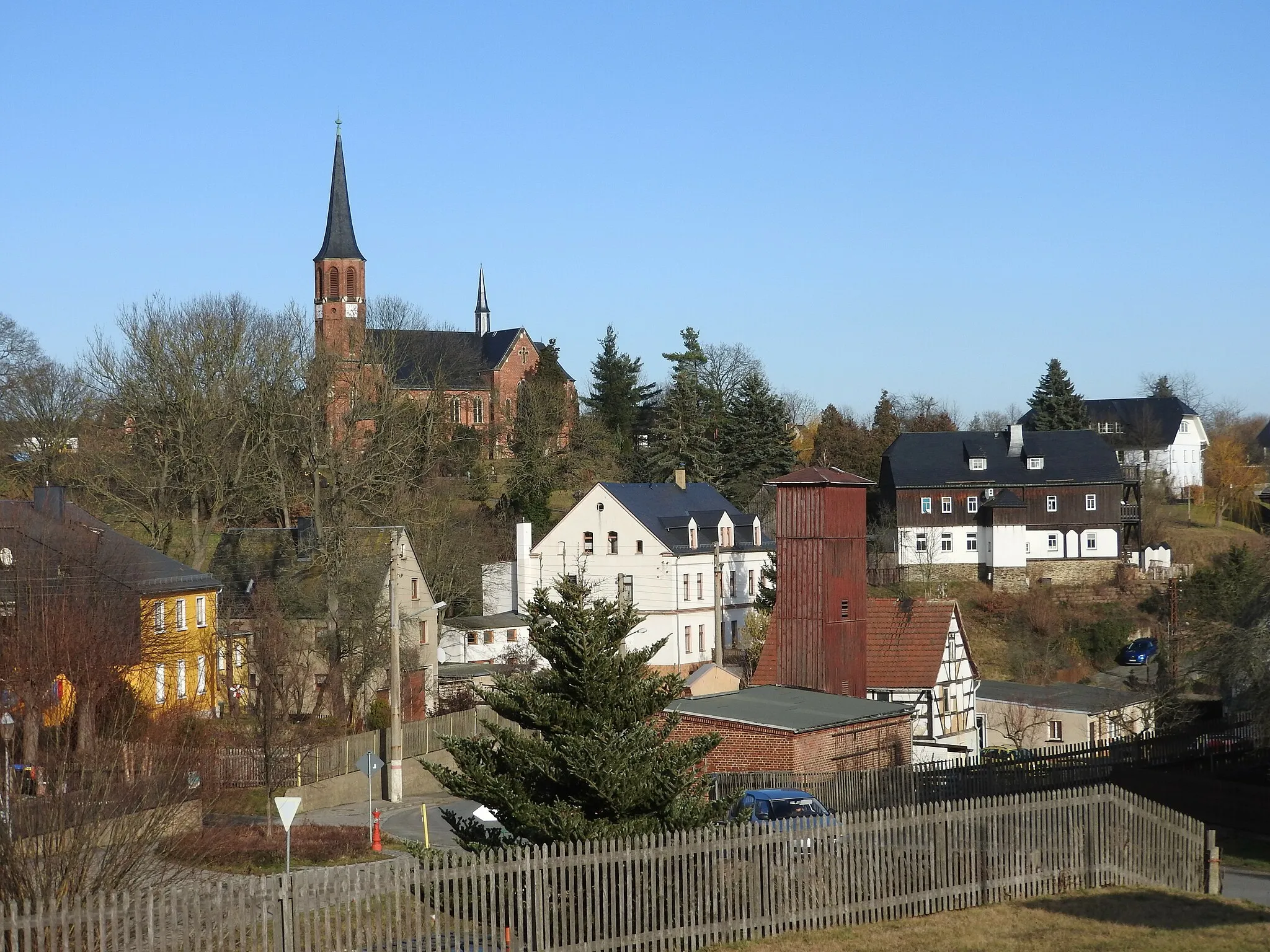
MühltroffVillageMühltroff is renowned for its picturesque water mill, serving as a picturesque backdrop to the surrounding countryside.
36 km
36 km
TannaTownTanna is a charming town with historical significance, offering a glimpse into the region's rich heritage.
43 km
43 km
Hoher Bühl606 mPeakHoher Bühl rewards your efforts with magnificent views over the Thuringian countryside.
57 km
57 km
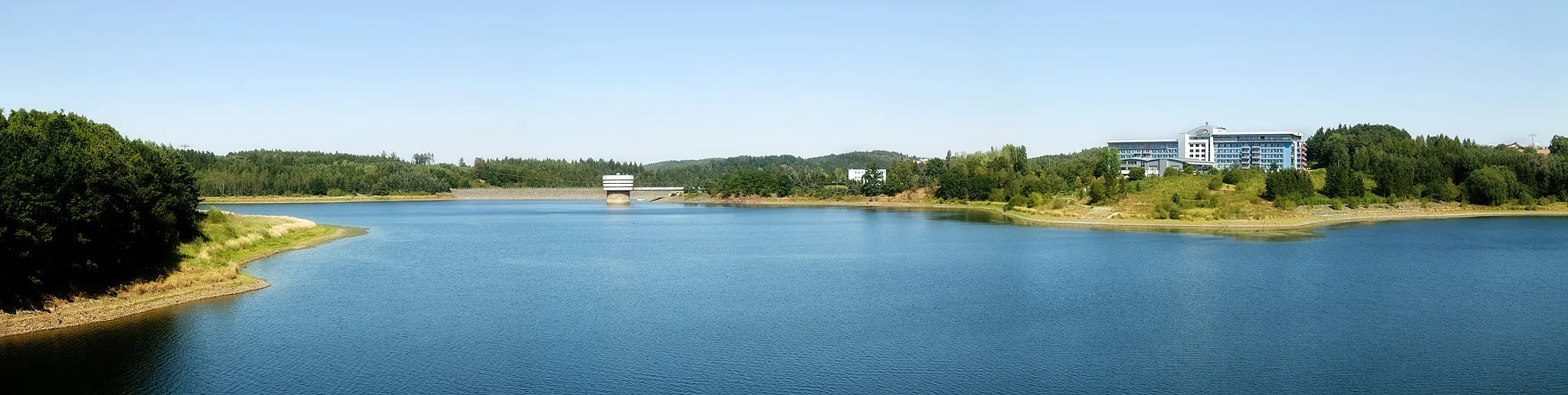
Bad LobensteinTownBad Lobenstein is a spa town nestled on the banks of the river Saale, offering relaxation and rejuvenation amidst lush greenery.
67 km
67 km
Pfaffenhügel550 mPeakPfaffenhügel treats you to sweeping views from its elevated position, allowing you to soak in the beauty of the surrounding landscapes.
88 km
88 km
Mühlberg473 mPeakMühlberg is a picturesque village with traditional houses and a tranquil ambiance that will leave you enchanted.
91 km
91 km
VolkmannsdorfVillageVolkmannsdorf captivates with its authentic charm and stunning natural surroundings, providing an idyllic setting for exploration.
104 km
104 km
MoßbachVillageMoßbach offers a delightful blend of nature and history, with its charming village atmosphere and historical buildings.
106 km
106 km
Berg464 mPeakBerg boasts breathtaking landscapes and challenging ascents, perfect for cyclists seeking a thrilling climb.
114 km
114 km
AumaTownAuma is steeped in history and complements its cultural offerings with picturesque countryside views.
114 km
114 km
Blick über AumaViewpointEnjoy a stunning panoramic view of Auma from the viewpoint atop a hill.
126 km
126 km
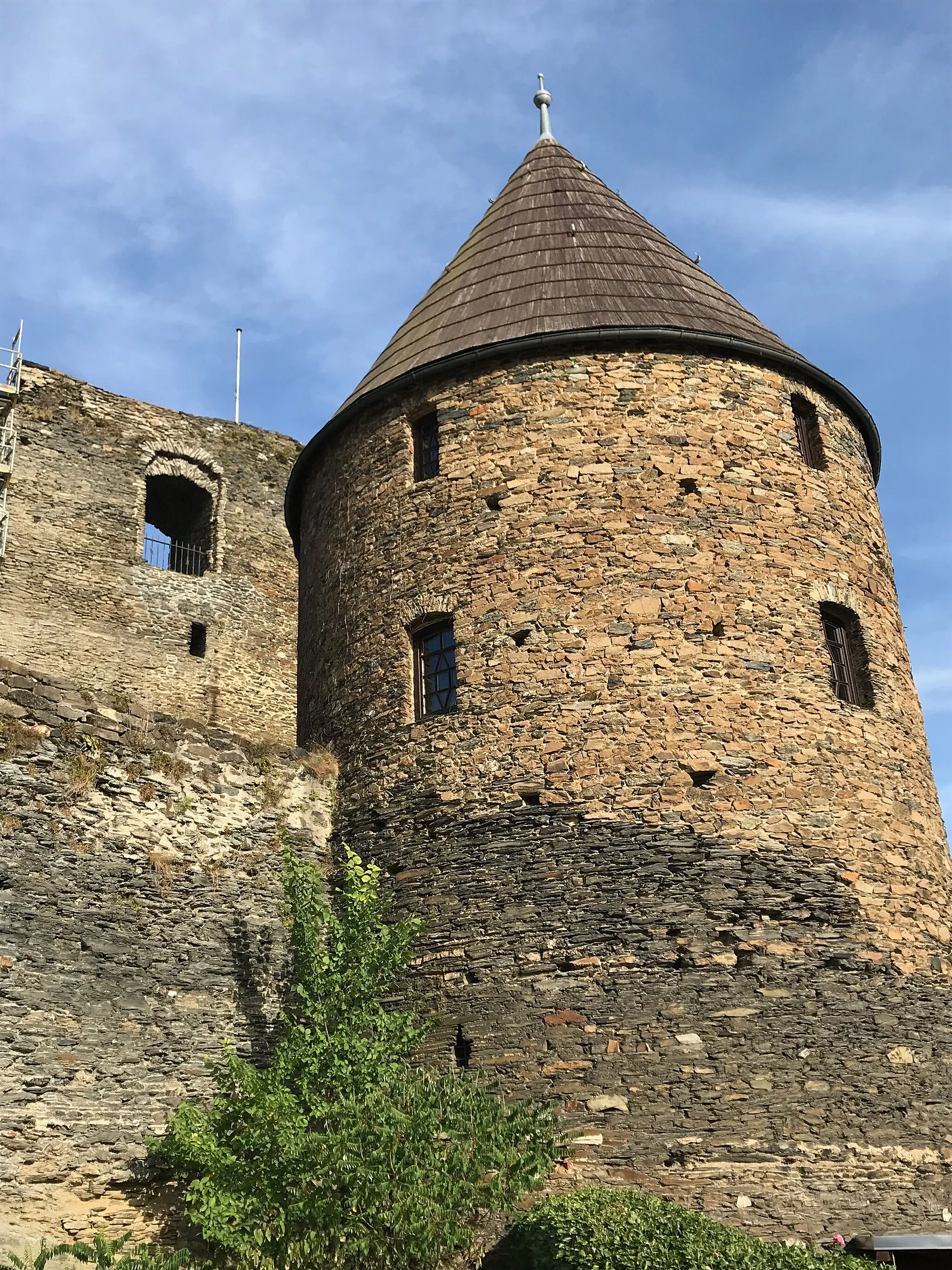
Burgruine ReichenfelsCastleBurgruine Reichenfels showcases the region's medieval heritage and grants you unparalleled views of the valley below.
131 km
131 km
Finish: Langenwetzendorf Village centerLangenwetzendorf: Cycle through the picturesque landscapes of Langenwetzendorf, Germany's Thüringen.
Cycling routes from Langenwetzendorf:
Gravel Cycling Adventure near Langenwetzendorf Scenic Road Cycling Loop near Langenwetzendorf Gravel Bike Route through Langenwetzendorf Road Cycling Route from Langenwetzendorf The Thuringian Rollercoaster The Gravel Trail Adventure The Scenic Gravel Escapade The Gravel Expedition Scenic Road Cycling Route from Langenwetzendorf The Thuringian Hills Challenge
Cycling routes nearby: