Off-Road Adventure in the Thüringen Countryside
A gravel cycling route starting from Niederorschel
Embark on a thrilling off-road cycling adventure through scenic countryside
Map
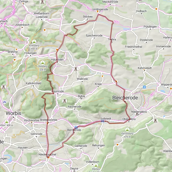
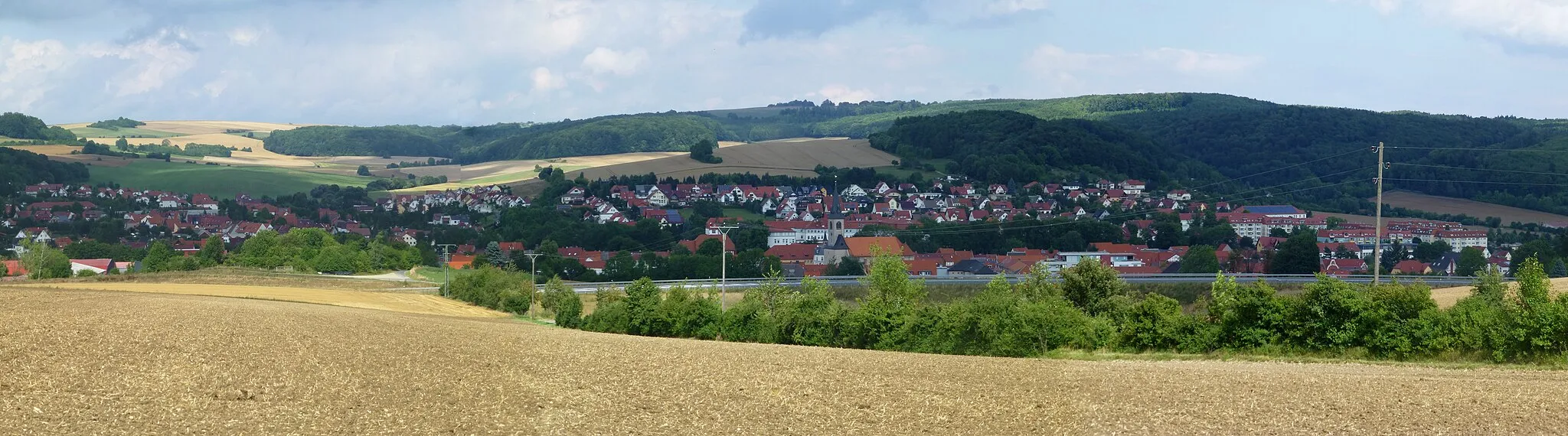
This off-road gravel route in Thüringen offers an exciting adventure for adrenaline-seeking cyclists. With a distance of 58 kilometers and an ascent of 780 meters, this route is suitable for experienced cyclists. The difficulty level is 4, as the route includes challenging terrain and steep sections. The epicness rating is 3, as it features several highlights that showcase the beauty of the Thüringen countryside.
gravel
58 km
780 m
Tough
Route profile
Highlights on the route
0 km
0 km
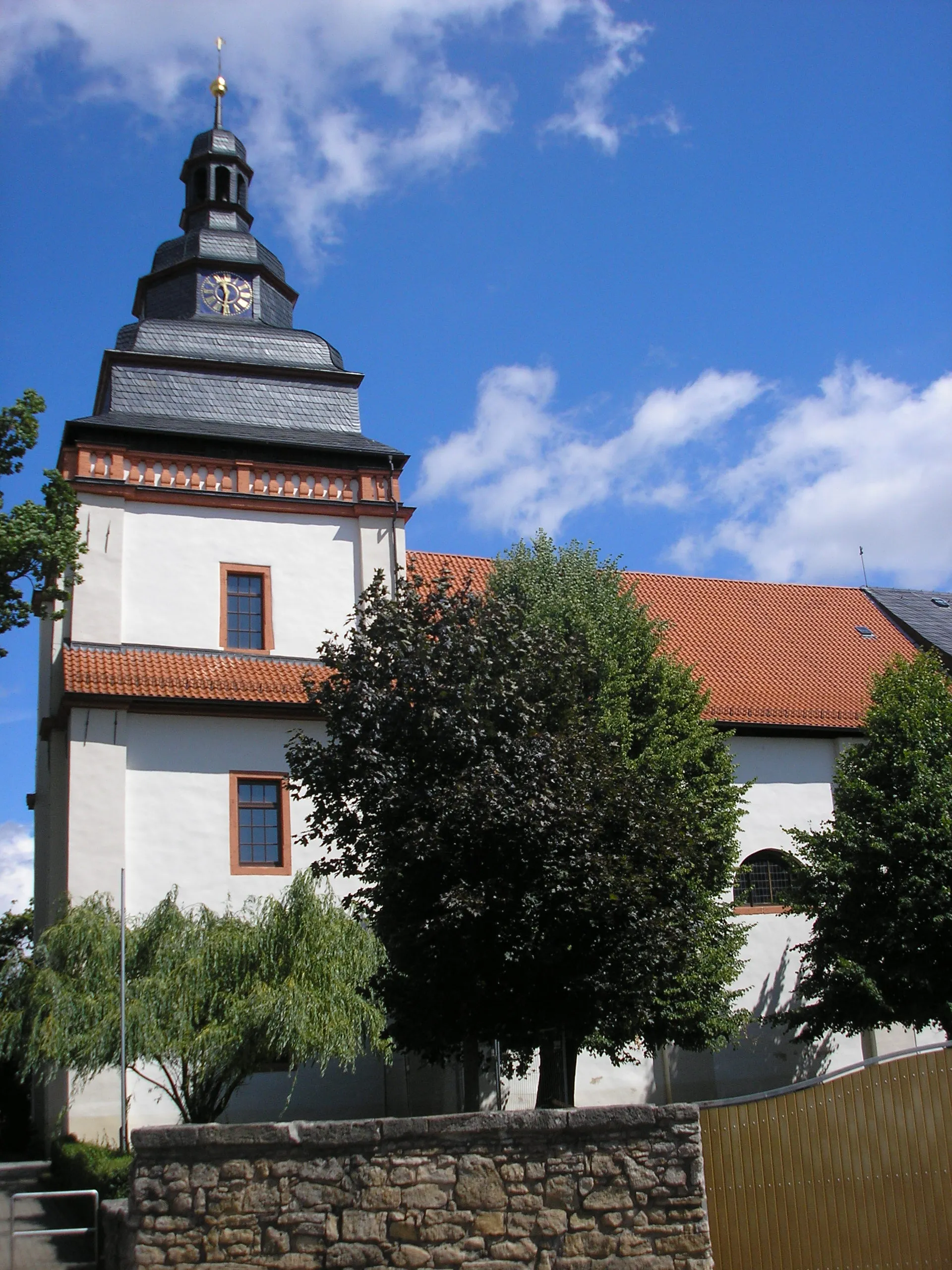
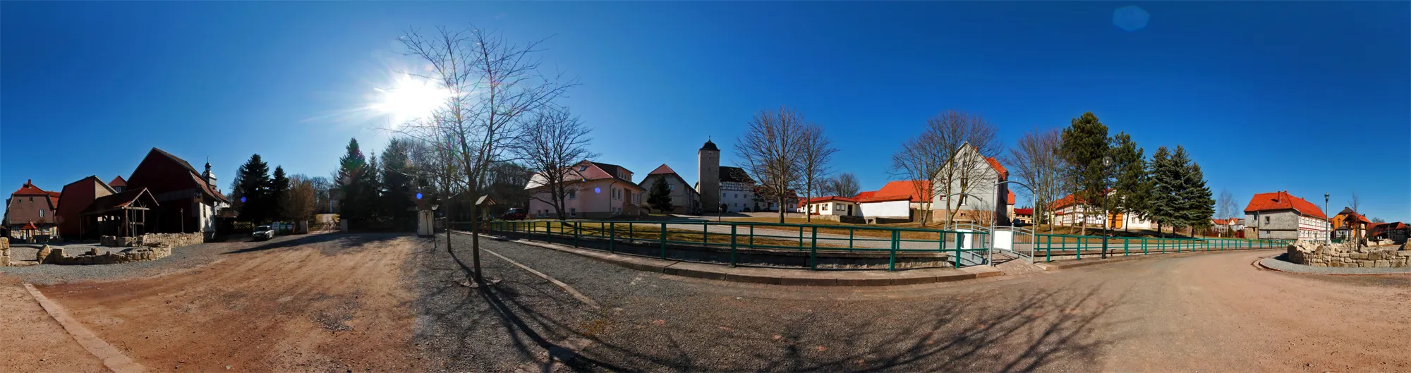
Start: Niederorschel Village centerNiederorschel: Cycling Haven in Thüringen, Germany
Niederorschel in Thüringen, Germany, offers a fantastic cycling experience for both road and gravel cyclists. The region boasts countless kilometers of cycling routes, meandering through idyllic countryside and charming villages. Cyclists can enjoy well-paved roads and discover hidden gems along the way. Niederorschel is known for its cycling-friendly infrastructure, ensuring safe and enjoyable rides for all. The nearby Eichsfeld cycle path is a popular attraction, providing an immersive cycling experience through stunning landscapes. With its stunning scenery and excellent cycling amenities, Niederorschel is a must-visit locality for cyclists.8 km
8 km
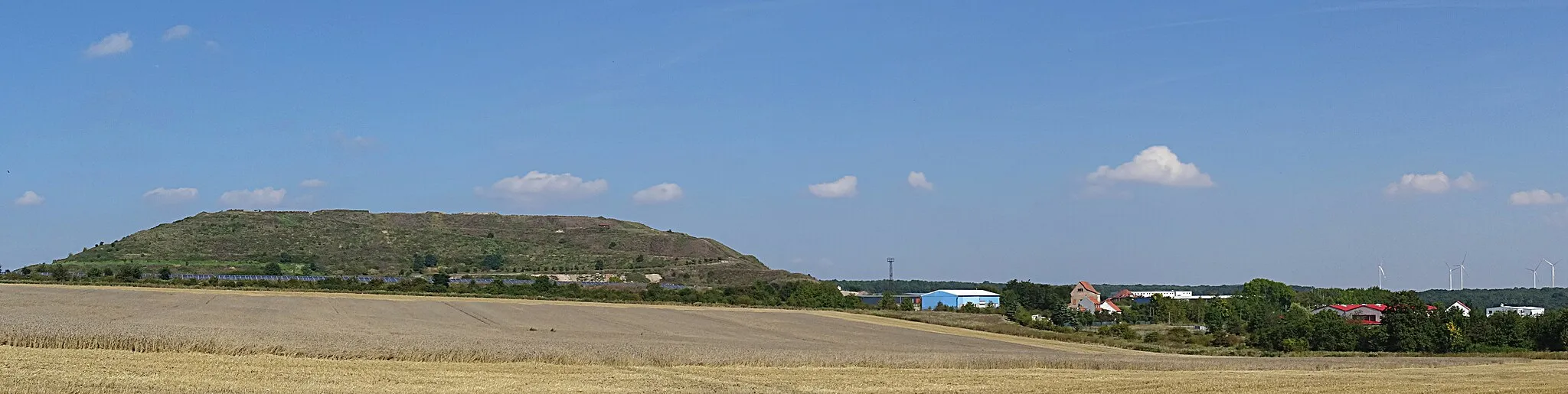
Mittelberg465 mPeakMittelberg, at 8 kilometers, offers stunning panoramic views of the surrounding rugged landscape.
14 km
14 km
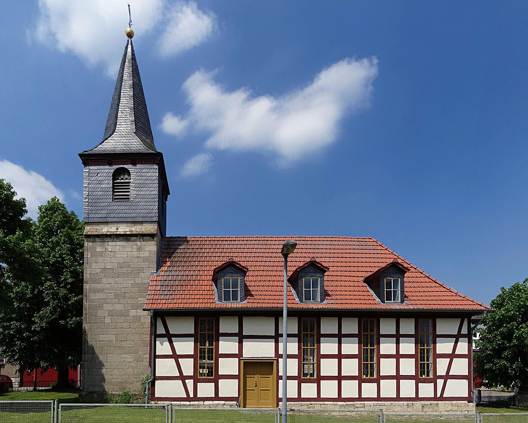
NeubleicherodeHamletNeubleicherode, at 14 kilometers, is a picturesque village with traditional architecture and scenic beauty.
22 km
22 km
Goldberg277 mPeakGoldberg, at 22 kilometers, promises breathtaking vistas and a peaceful atmosphere.
32 km
32 km
TrebraVillageTrebra, at 32 kilometers, is a hidden gem in the countryside, offering serenity and beautiful views.
38 km
38 km
LipprechterodeVillageLipprechterode, at 38 kilometers, offers a charming blend of beauty and tranquility.
43 km
43 km
Dachsberg318 mPeakAt 43 kilometers, Dachsberg captivates cyclists with its untouched natural beauty and picturesque landscapes.
51 km
51 km
Galgenberg328 mPeakGalgenberg, at 51 kilometers, is a stunning vantage point from which you can admire the Thüringen countryside.
53 km
53 km
BernterodeVillageBernterode, at 53 kilometers, is a small village with a rich historical background and serene surroundings.
58 km
58 km
Finish: Niederorschel Village centerNiederorschel: Cycling Haven in Thüringen, Germany
Cycling routes from Niederorschel:
Alte Burg-Silberhausen-Ochsenkopf-Lengenfeld unterm Stein-Eschwege-Weißer Graben-Schlittstein-Geisleden-Breitenholz-Breitenholzer Berg Gravel Route Off-Road Adventure in the Thüringen Countryside Bernterode-Kriegsberg-Watte-Großbrüchter-Billeben-Urleben-Sülzenberg-Ufhoven-Bollstedt-Kaisershagen-Hüpstedt Road Route Rüdigershagen-Dünkreuz-Windeberg-Grabe-Mühlhausen/Thüringen-Horsmar-Alte Burg-Oberorschel Gravel Route Leinefelde-Köhlerberg-Kanstein-Kirchworbis Gravel Route The Thuringian Hill Challenge Road Cycling Beauty in Thüringen Scenic Loop through Thüringen Rüdigershagen and Beyond Köpfchen-Kallmerode-Streitholz-Drachenberg-Geismar-Dorfblick-Renshausen-Germershausen-Sulbergwarte-Wintzingerode-Kanstein Road Route
Cycling routes nearby: