Pössneck Epic Gravel Loop
A gravel cycling route starting from Poessneck
Embark on an epic gravel adventure around Pößneck
Map
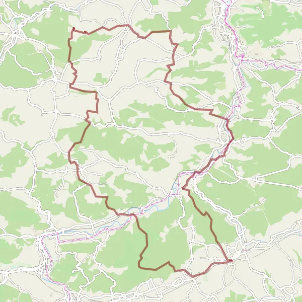
Prepare yourself for an epic gravel cycling journey around Pößneck. With a total ascent of 1624 meters and a distance of 97 kilometers, this route is perfect for experienced gravel riders looking for a challenge. Along the way, you'll conquer tough climbs, navigate technical sections, and soak in breathtaking views of the Thüringen countryside. The highlights of this route include Zella, Johannihut, Kreuzenberg, and Zimmritzer Höhe, each offering exciting moments and unique scenic vistas.
gravel
97 km
1624 m
Savage
Route profile
Highlights on the route
0 km
0 km
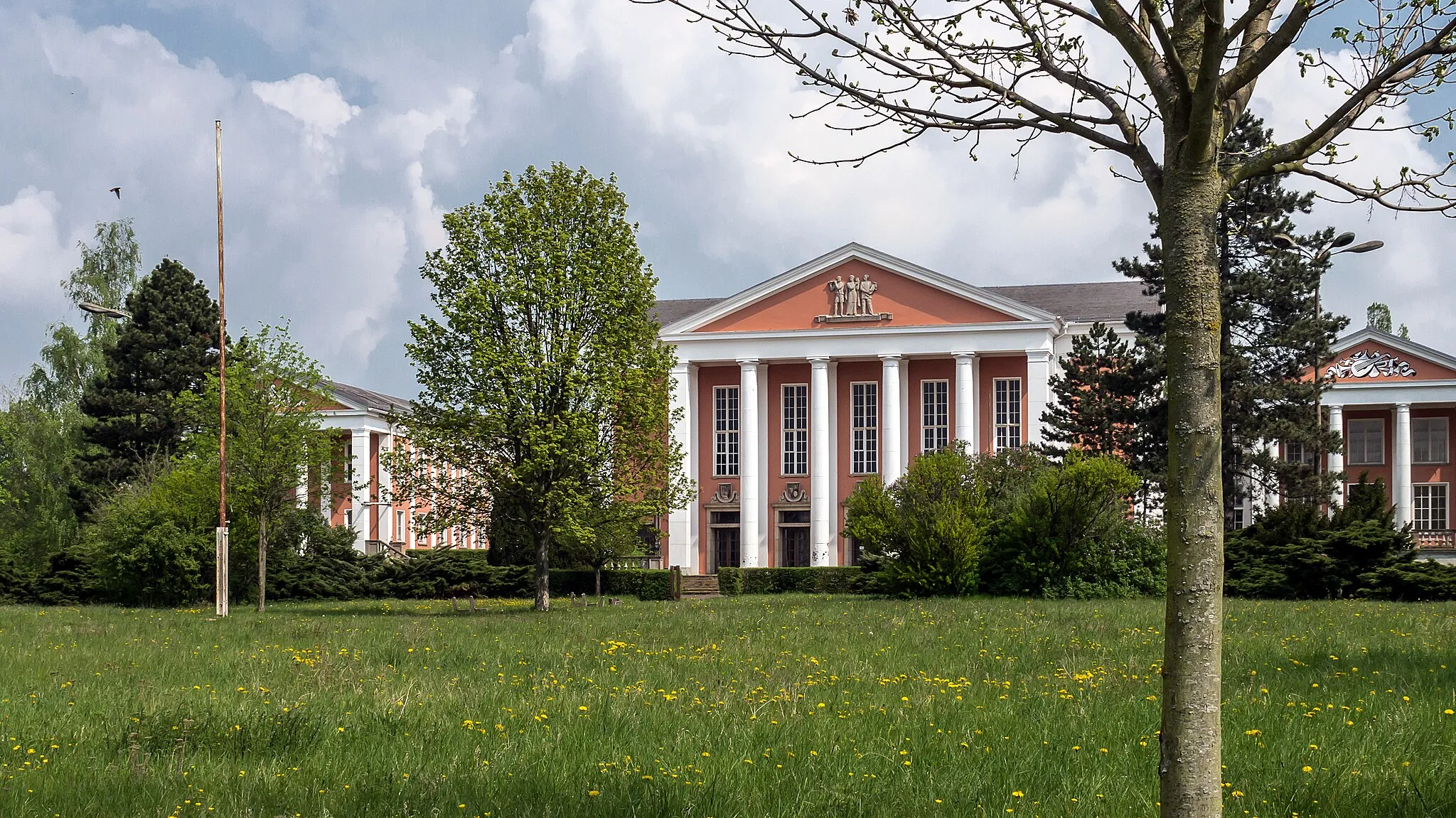
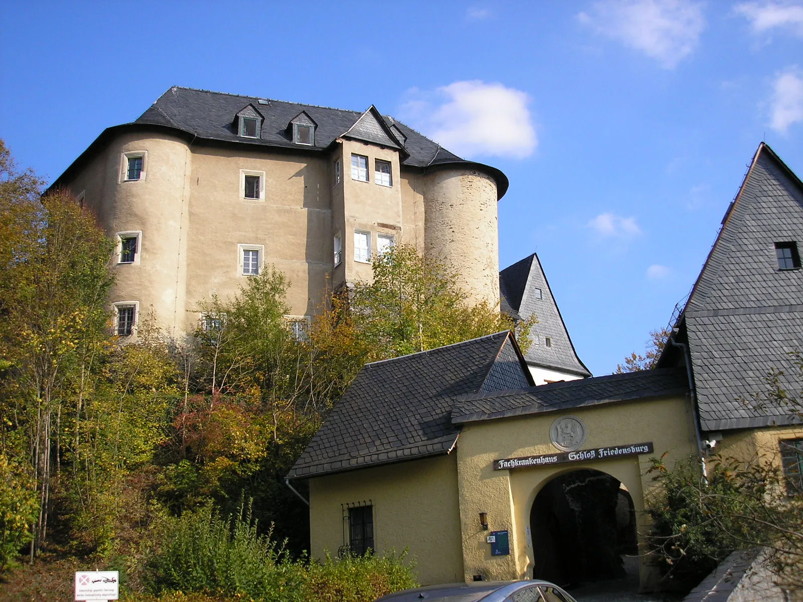
Start: Pößneck City centerPößneck: Exploring the scenic landscapes and challenging climbs of Pößneck, Germany.
Pößneck, located in Thüringen, Germany, offers a diverse cycling experience. Road cyclists can enjoy the well-paved routes through picturesque countryside and challenging climbs. Gravel cyclists will find numerous off-road trails through forests and rolling hills. Pößneck is also home to the popular Schwarzatal-Radweg, a scenic cycling route following the Schwarzatal river. Cyclists can also explore nearby towns such as Jena and Weimar for their cultural and historical significance. Overall, Pößneck provides good cycling opportunities for both road and gravel enthusiasts.6 km
6 km
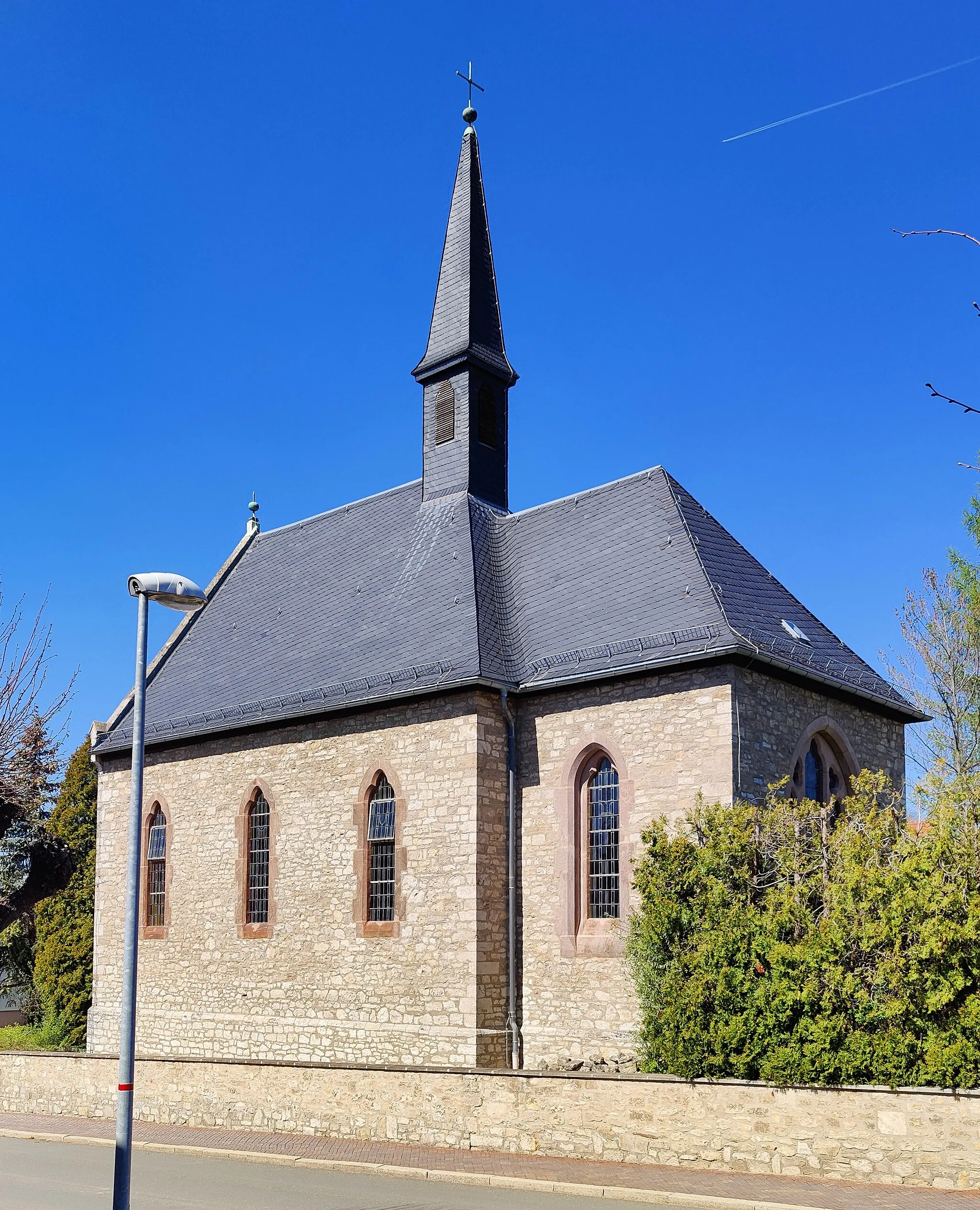
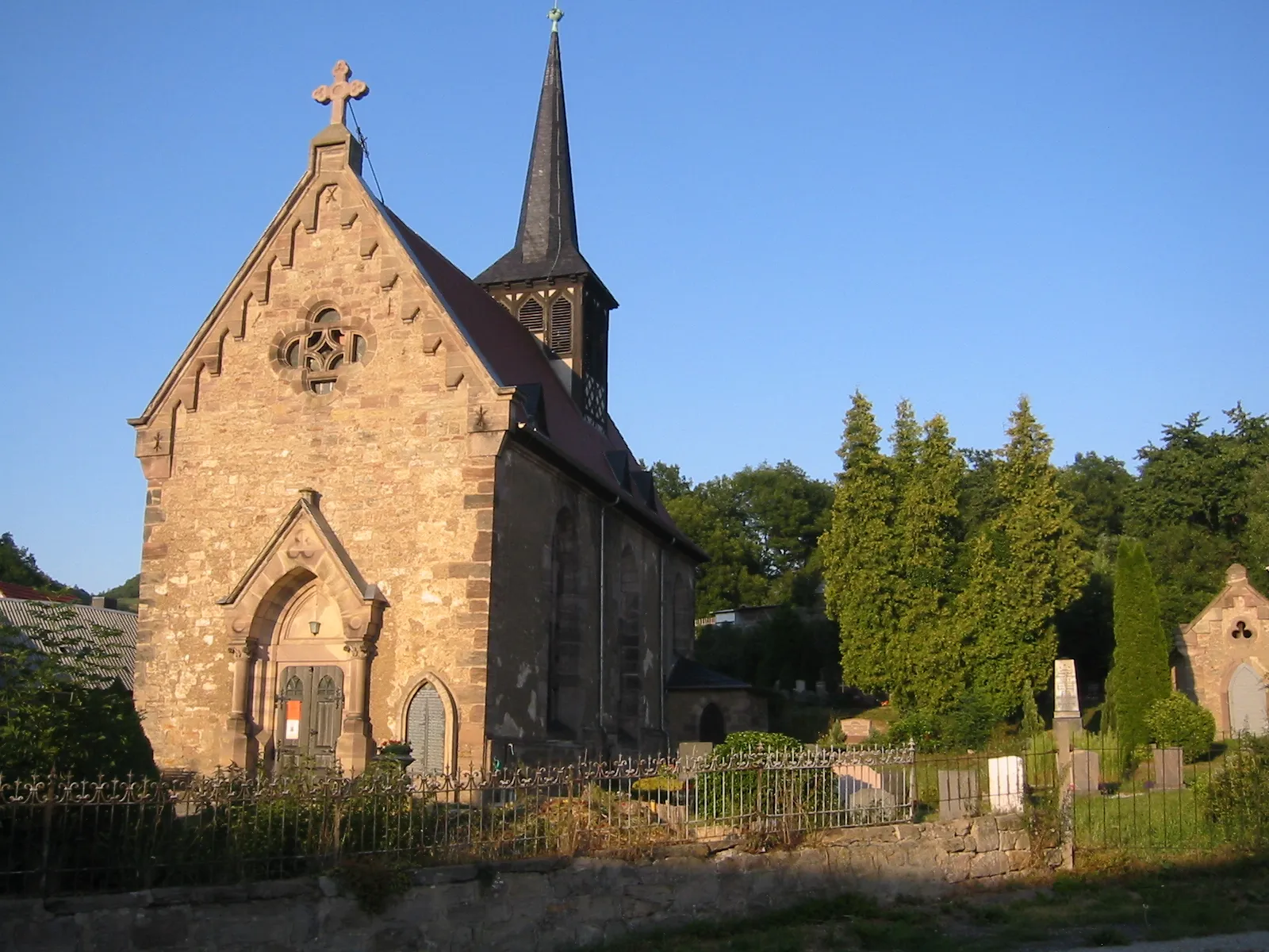
ZellaVillageZella, located 6 kilometers into the route, presents a challenging terrain and stunning views of the surrounding landscapes.
12 km
12 km
Johannihut451 mPeakJohannihut, at the 12-kilometer mark, offers a unique stop amidst the forest, allowing cyclists to rest and appreciate the natural beauty of the area.
20 km
20 km
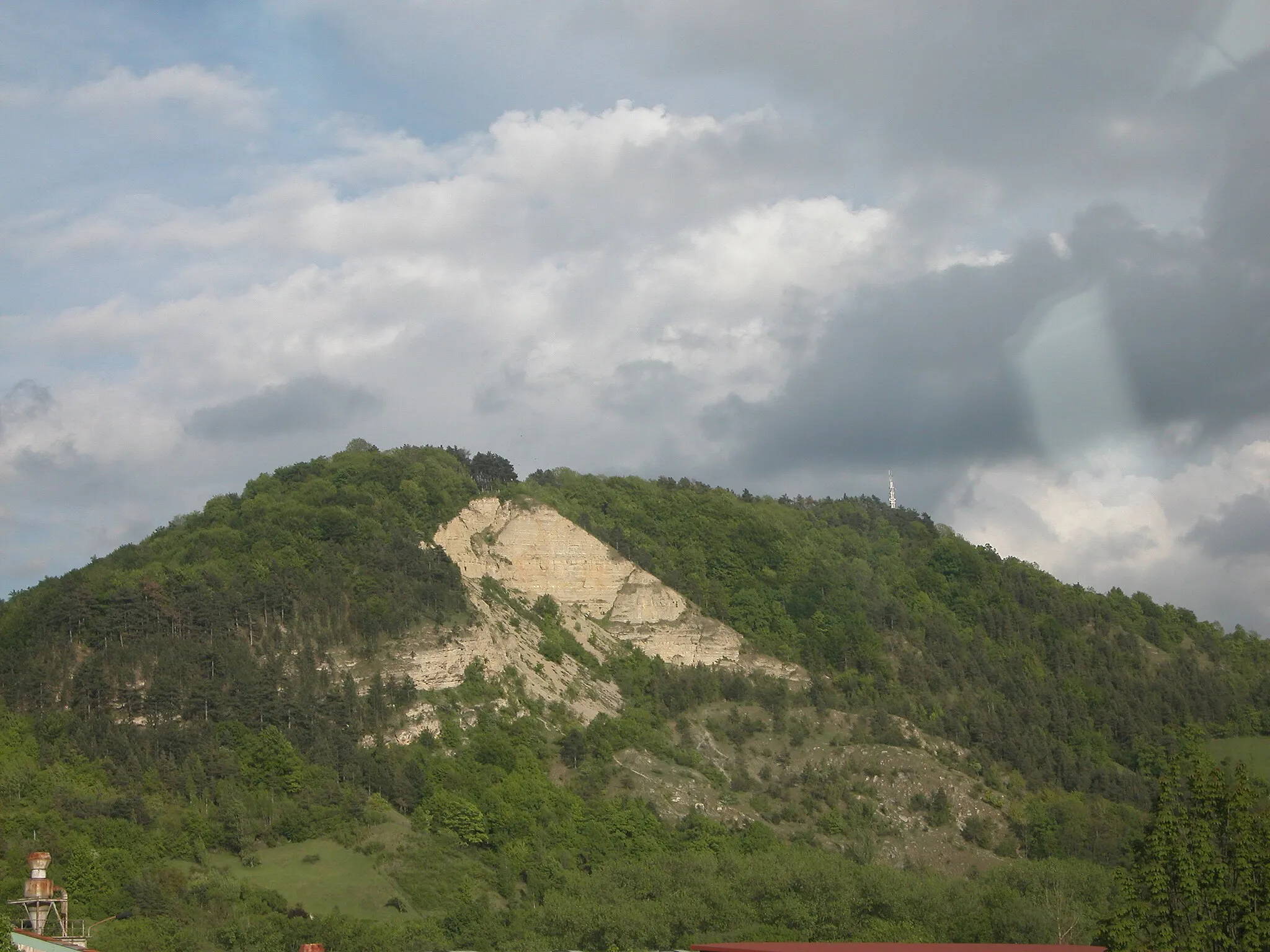
Kreuzenberg404 mPeakKreuzenberg, situated at the 20-kilometer mark, rewards riders with a scenic viewpoint overlooking the Thüringen region.
22 km
22 km
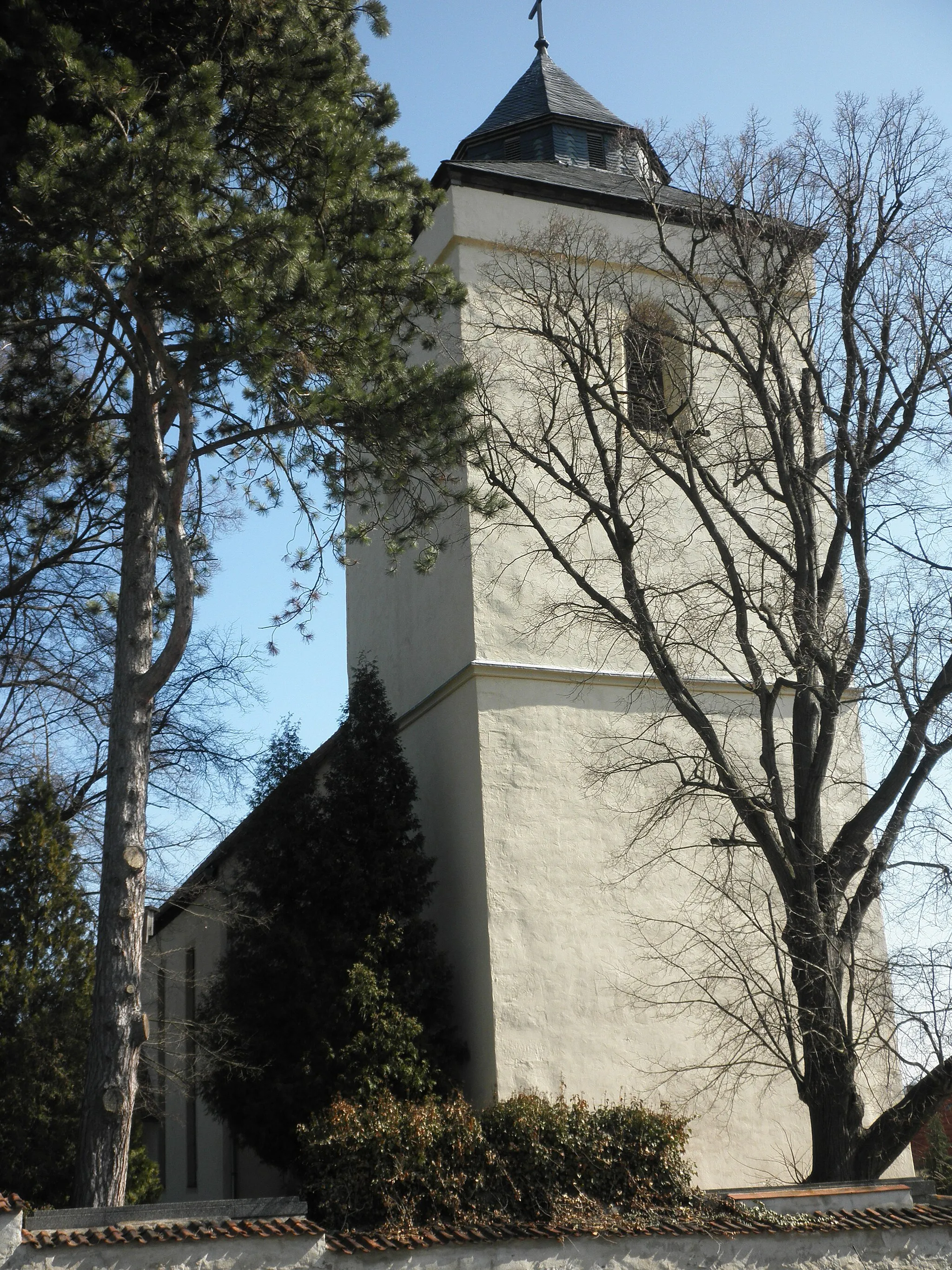
MötzelbachVillageMötzelbach, at the 22-kilometer mark, immerses riders in the tranquil atmosphere of the Thüringen countryside and provides beautiful natural landscapes.
42 km
42 km
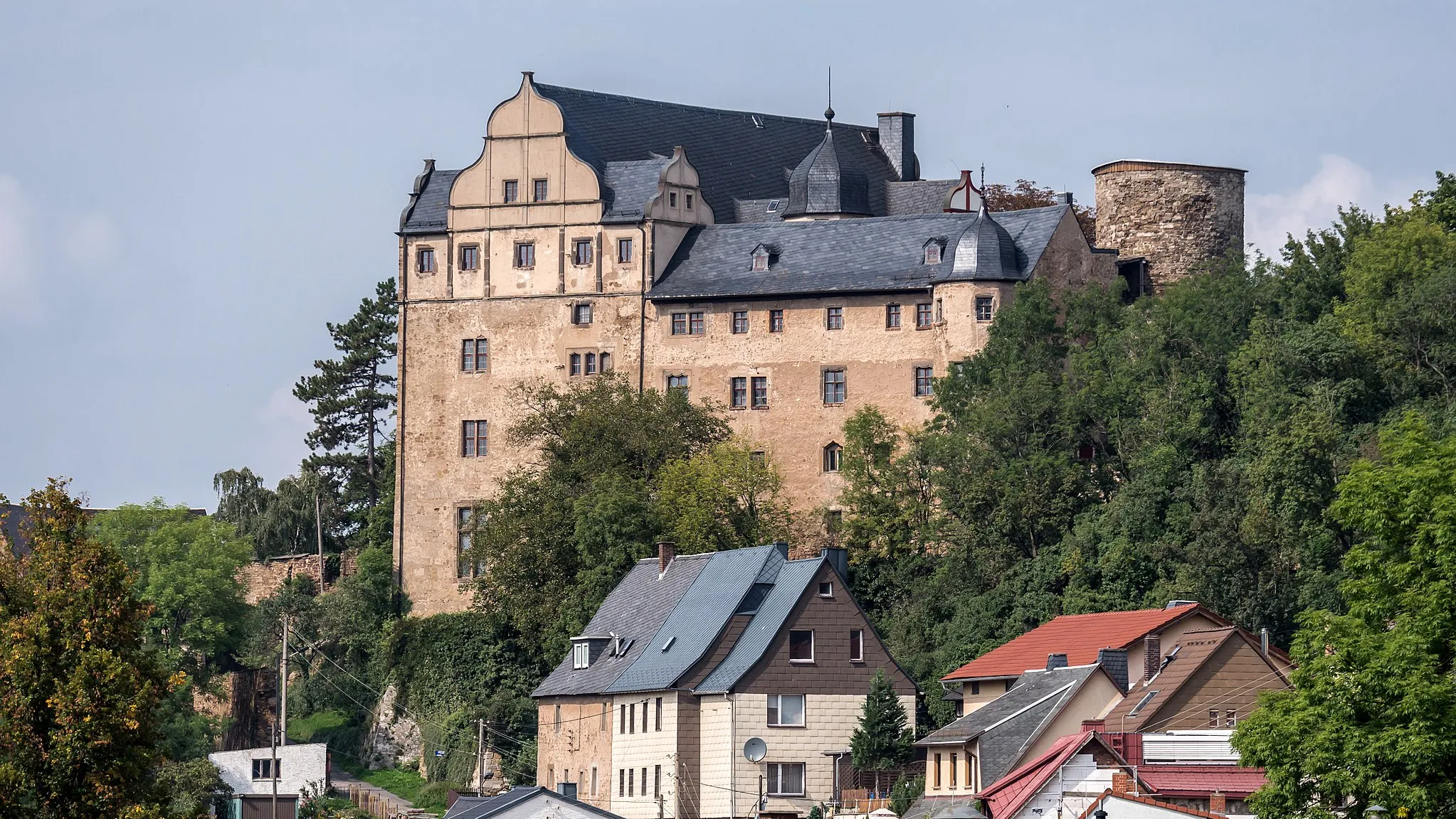
EgendorfVillageEgendorf, located at the 42-kilometer mark, delivers both challenging terrain and panoramic views, making it a memorable stop on the route.
44 km
44 km
Bombenberg462 mPeakBombenberg, at the 44-kilometer mark, offers technical descents and rewarding climbs, showcasing the diverse landscapes of the Thüringen region.
65 km
65 km
PösenHamletPösen, situated at the 65-kilometer mark, provides a secluded oasis for cyclists, away from the hustle and bustle of city life.
68 km
68 km
Zimmritzer Höhe446 mPeakZimmritzer Höhe, located at the 68-kilometer mark, offers breathtaking panoramic views over the Thüringen countryside, making it a true highlight of the route.
78 km
78 km
Dohlenstein366 mPeak ViewpointDohlenstein, at the 78-kilometer mark, is a unique geological formation and an ideal spot to take a break and absorb the natural beauty of the surroundings.
81 km
81 km
KleineutersdorfVillageKleineutersdorf, situated at the 81-kilometer mark, offers picturesque landscapes and a tranquil atmosphere, perfect for unwinding during the ride.
97 km
97 km
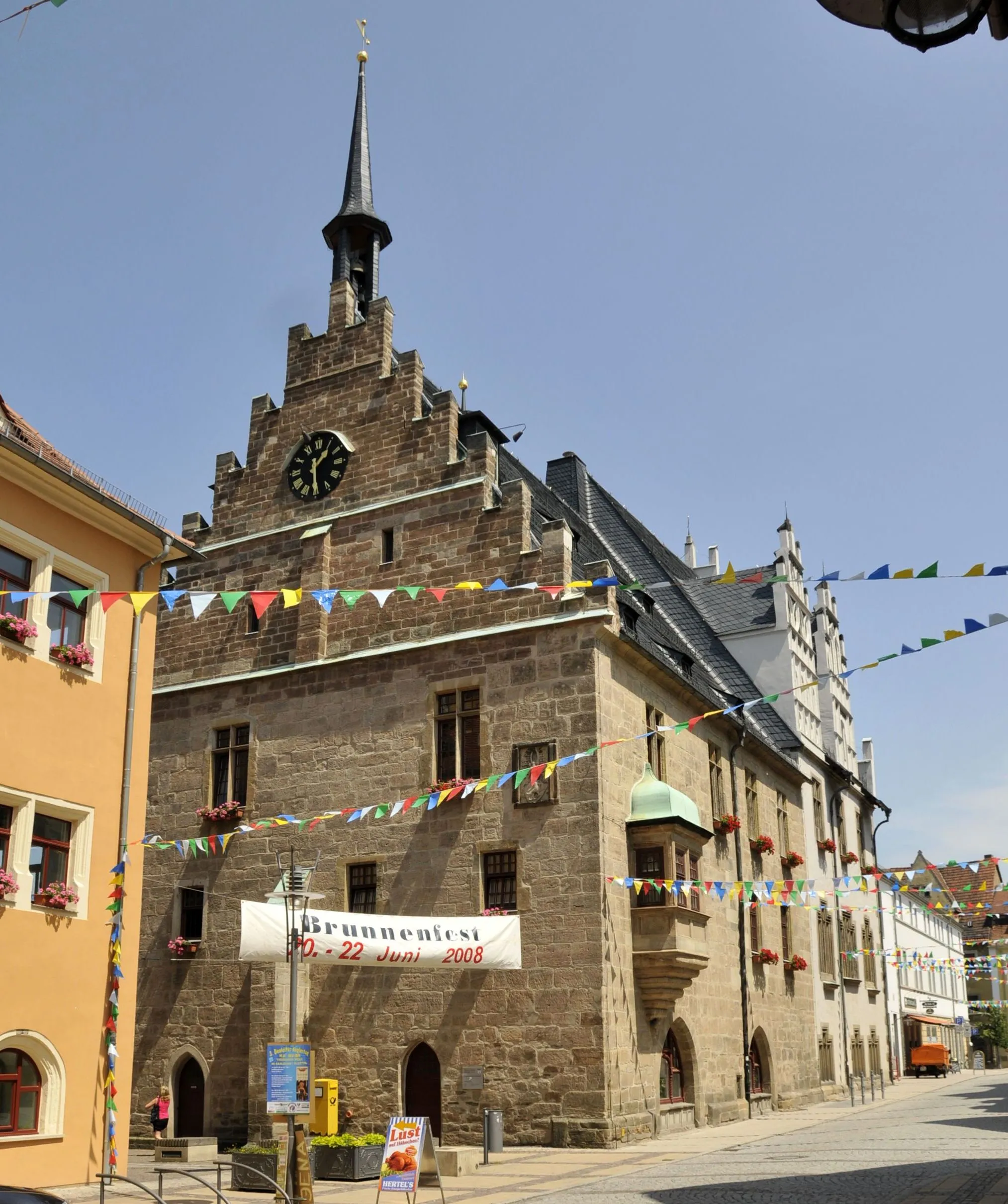
PößneckTownPößneck, the starting and ending point of the route, is a vibrant town with a rich history and plenty of amenities for cyclists to explore and enjoy.
97 km
97 km
Finish: Pößneck City centerPößneck: Exploring the scenic landscapes and challenging climbs of Pößneck, Germany.
Cycling routes from Poessneck:
Cycling routes nearby: