Paska Loop on Road
A road cycling route starting from Poessneck
Discover picturesque landscapes on the Paska route
Map
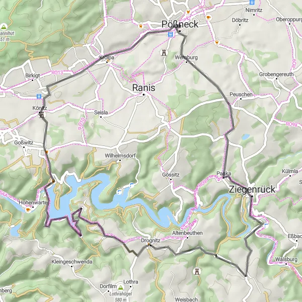
This road cycling route takes you on a scenic tour around the picturesque landscapes near Pößneck. With a total ascent of 1108 meters and a distance of 53 kilometers, this route is perfect for a shorter, yet challenging ride. Along the way, you'll pass through idyllic villages and enjoy stunning views of the Thüringen countryside. The highlights of this route include Paska, Lasterberg, Steinbrück, and Rockendorf, each providing a unique and memorable experience.
road
53 km
1108 m
Chill
Route profile
Highlights on the route
0 km
0 km
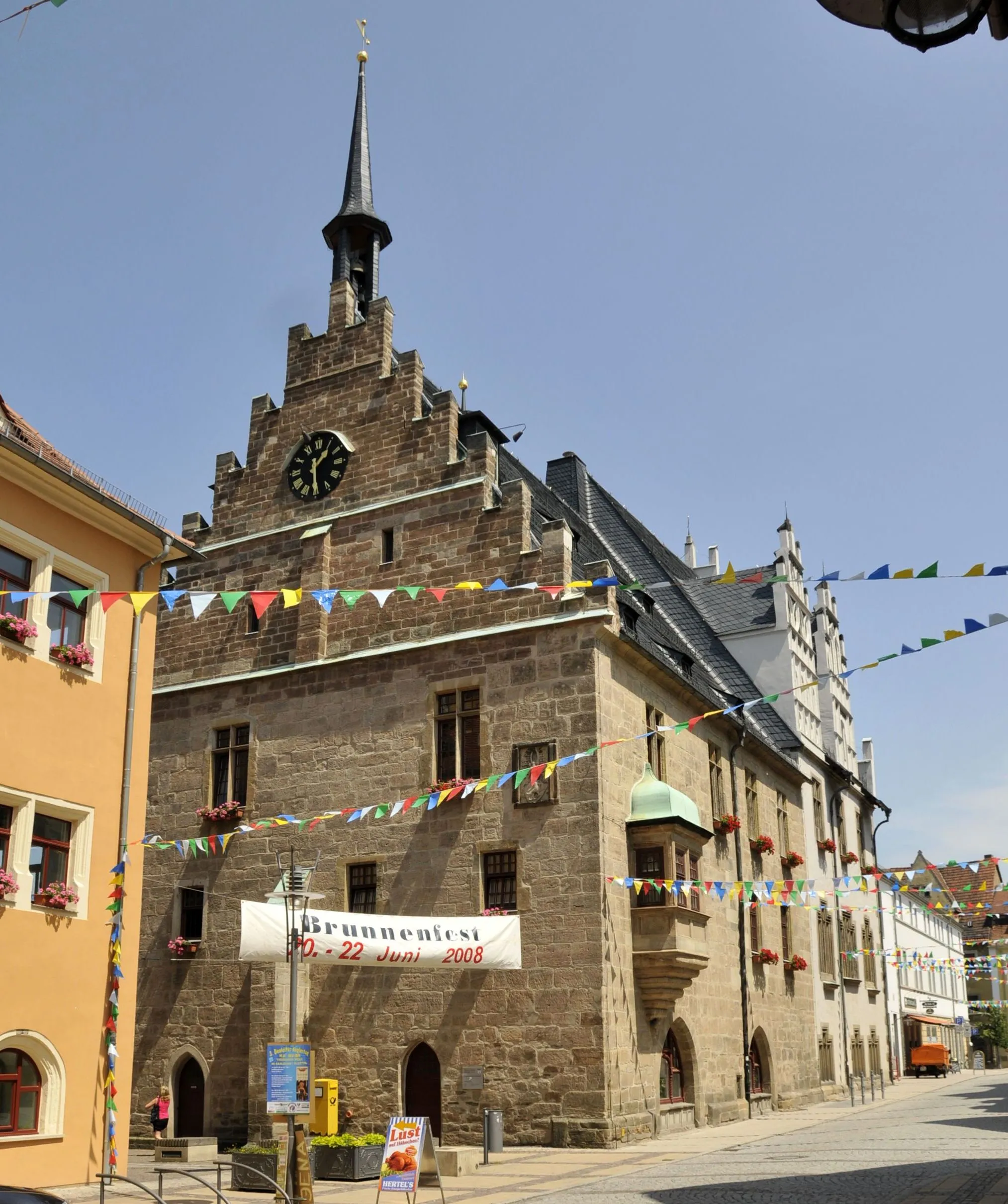
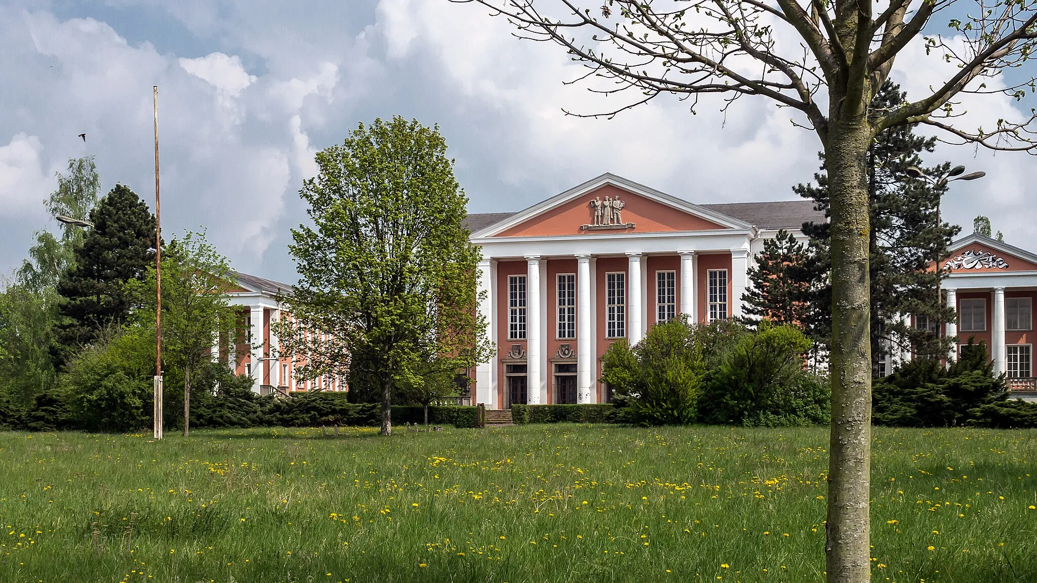
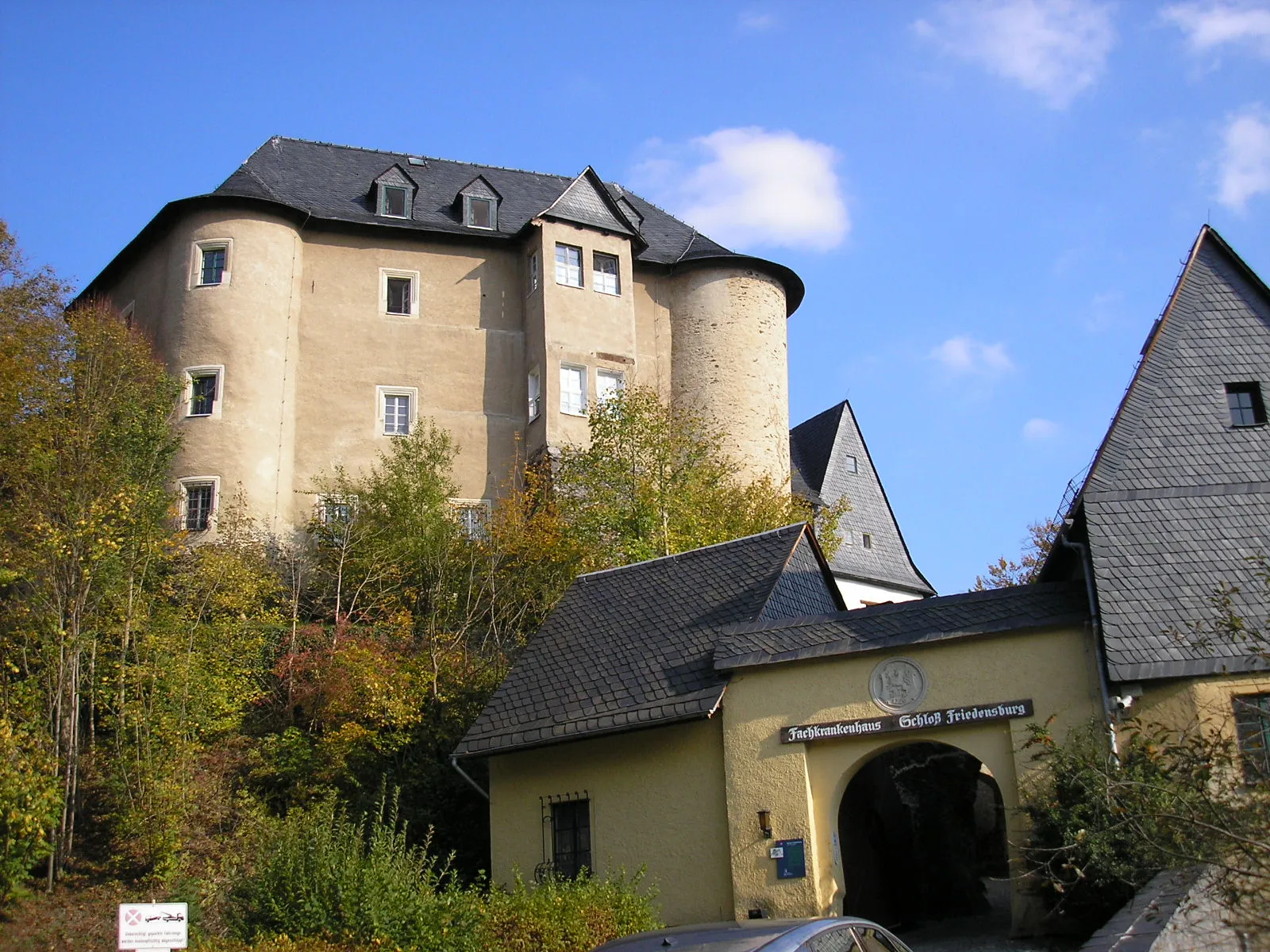
Start: Pößneck City centerPößneck: Exploring the scenic landscapes and challenging climbs of Pößneck, Germany.
Pößneck, located in Thüringen, Germany, offers a diverse cycling experience. Road cyclists can enjoy the well-paved routes through picturesque countryside and challenging climbs. Gravel cyclists will find numerous off-road trails through forests and rolling hills. Pößneck is also home to the popular Schwarzatal-Radweg, a scenic cycling route following the Schwarzatal river. Cyclists can also explore nearby towns such as Jena and Weimar for their cultural and historical significance. Overall, Pößneck provides good cycling opportunities for both road and gravel enthusiasts.10 km
10 km
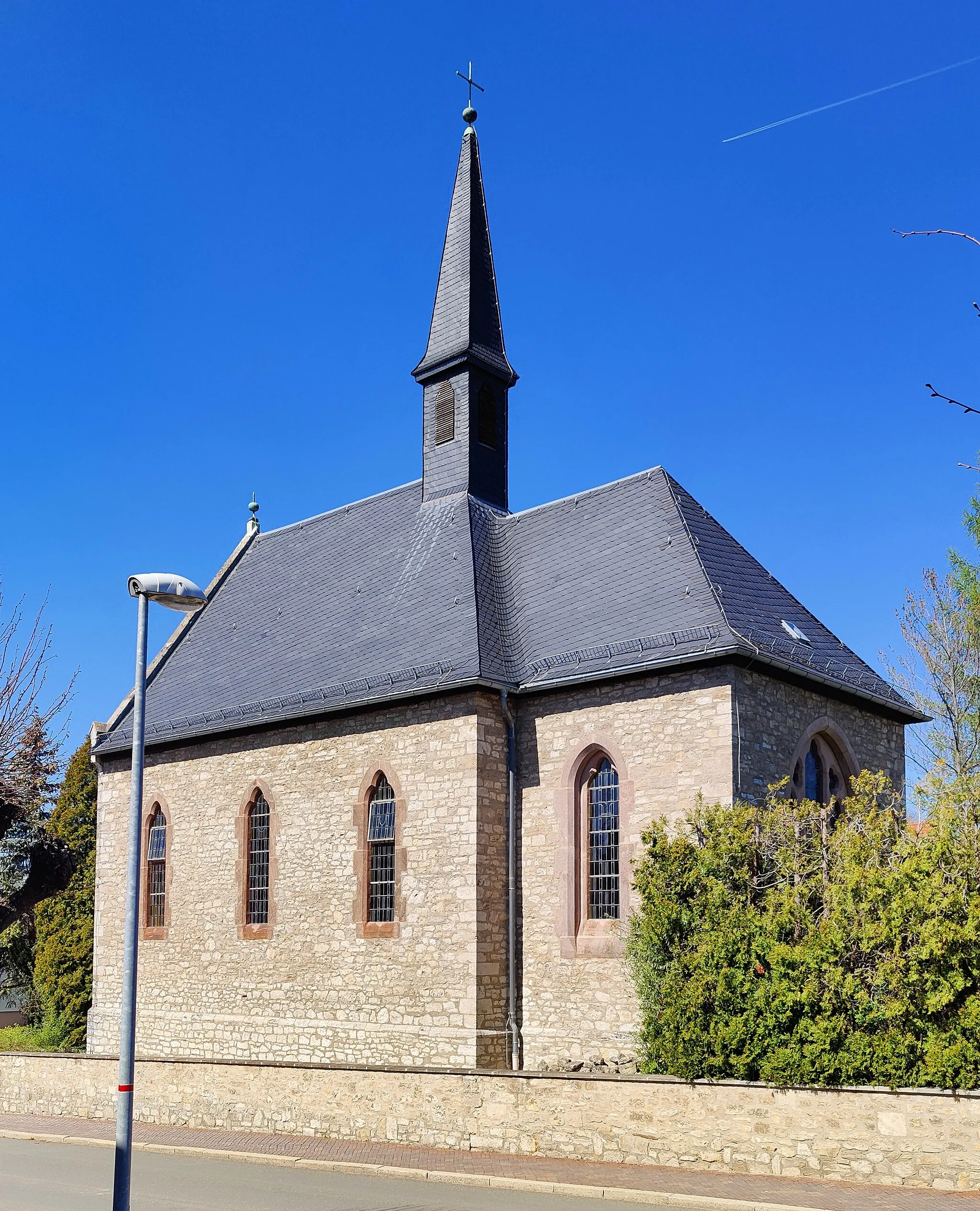
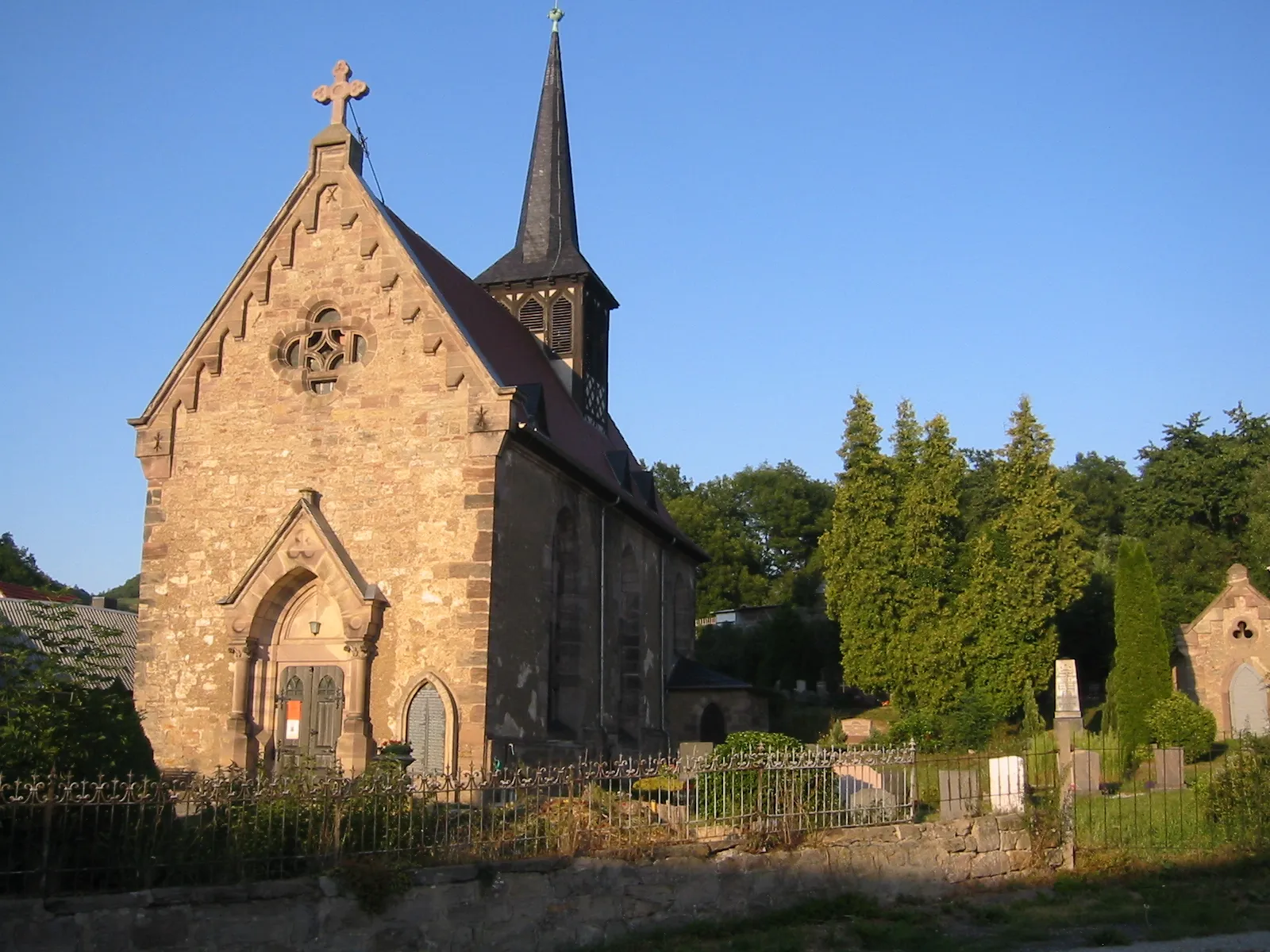
PaskaVillagePaska, located just 10 kilometers into the route, offers a peaceful setting and a chance to immerse yourself in the rural beauty of the area.
11 km
11 km
Lasterberg471 mPeakLasterberg, at the 11-kilometer mark, provides a challenging climb rewarded with panoramic views of the Thüringen region.
27 km
27 km
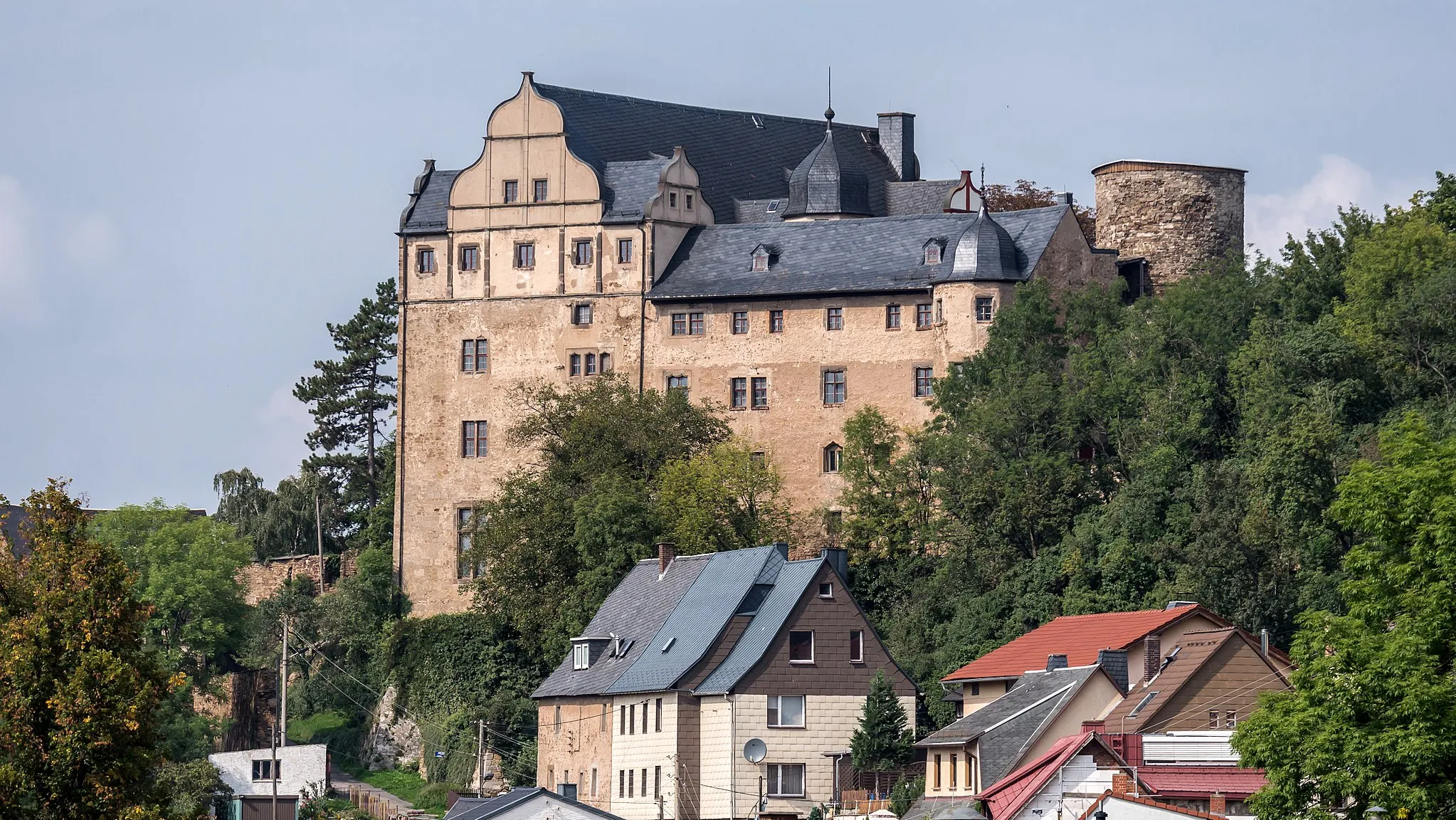
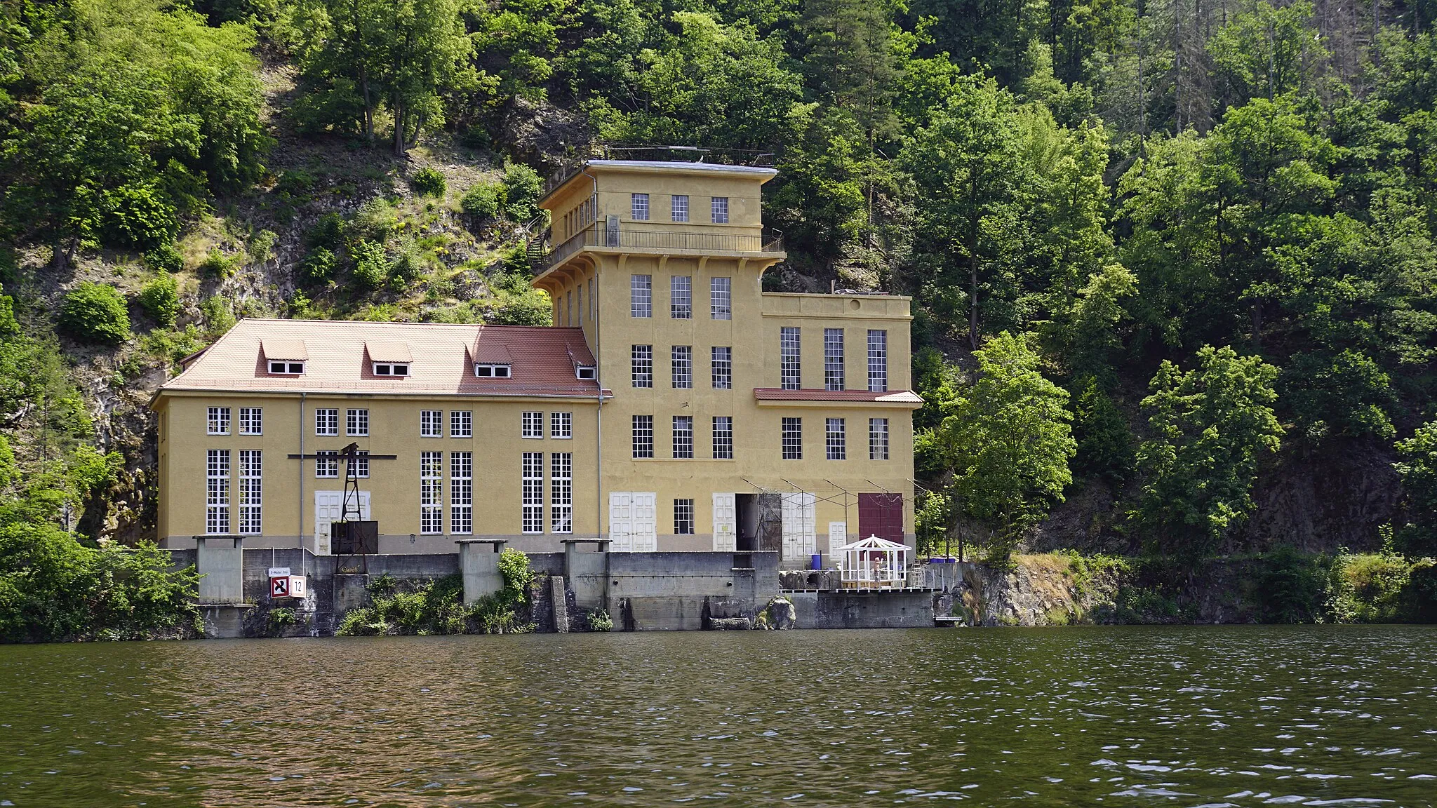
Steinbrück529 mPeakSteinbrück, situated at the 27-kilometer mark, is a charming village known for its traditional architecture and scenic beauty.
28 km
28 km
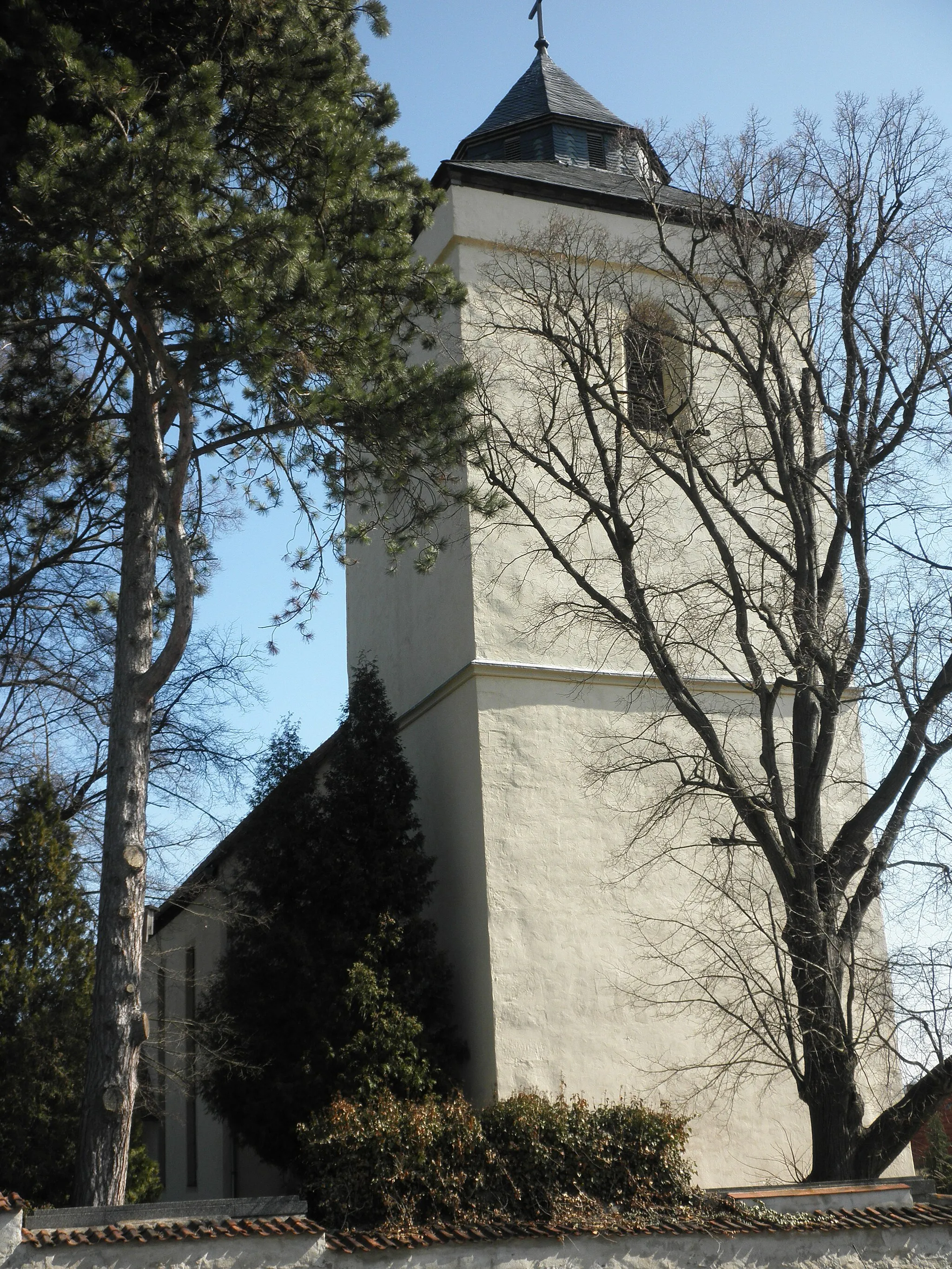
ReitzengeschwendaVillageReitzengeschwenda, at the 28-kilometer mark, is a hidden gem boasting beautiful landscapes and tranquil surroundings.
34 km
34 km
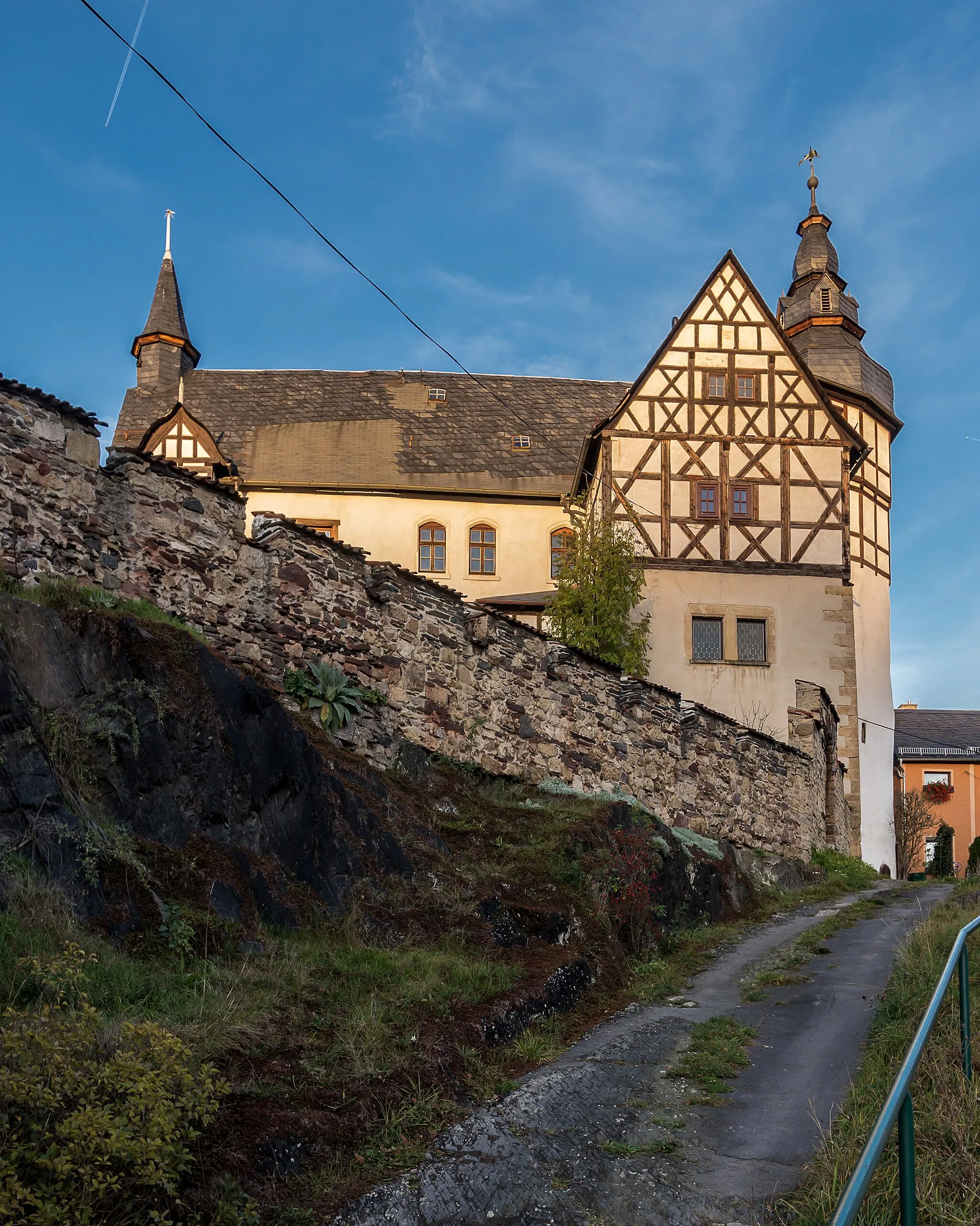
Kuttenberg489 mPeakKuttenberg, located at the 34-kilometer mark, is a picturesque village with traditional half-timbered houses and a welcoming atmosphere.
46 km
46 km
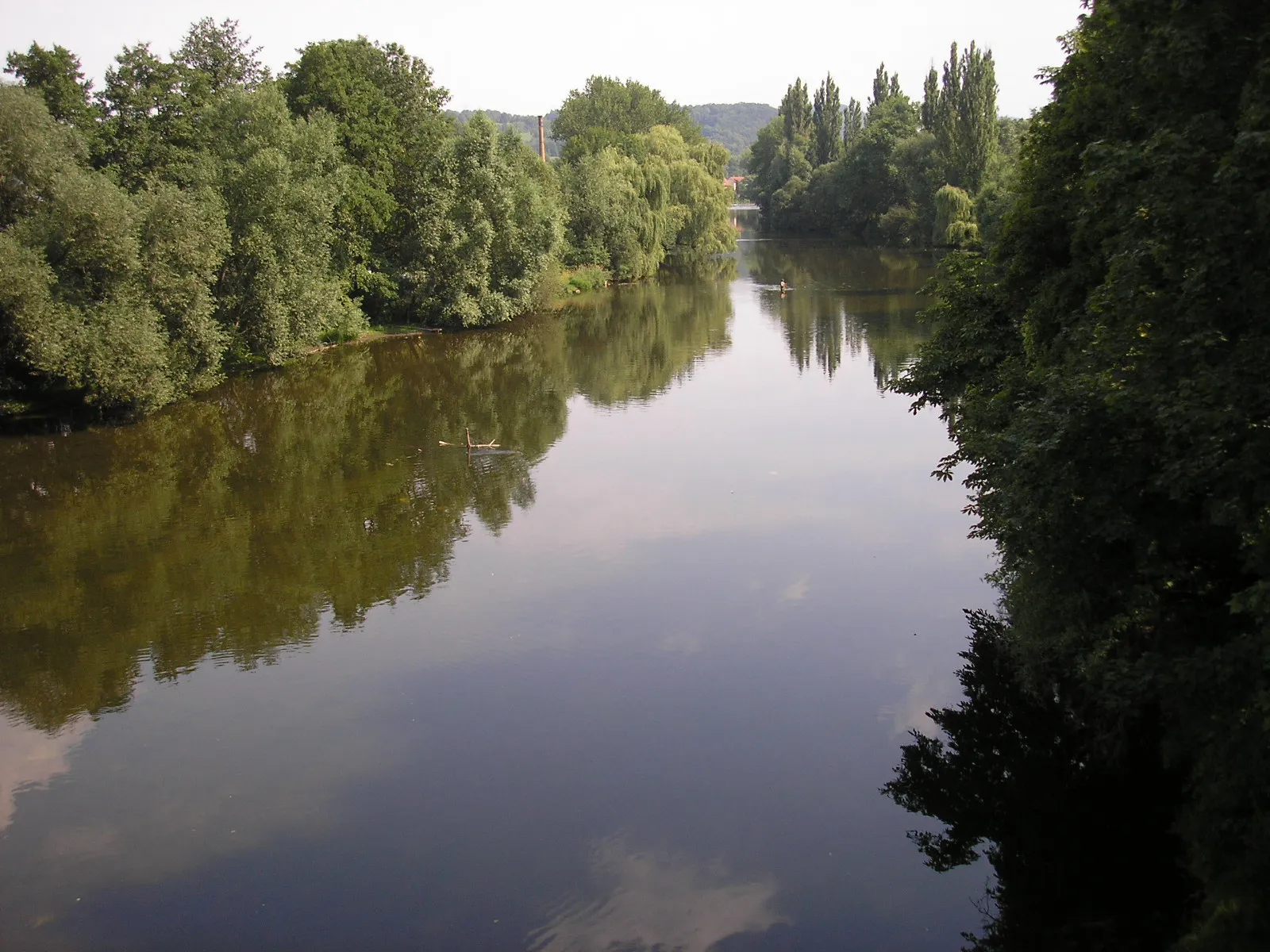
RockendorfVillageRockendorf, at the 46-kilometer mark, offers stunning views and a peaceful ambiance for cyclists to enjoy during their journey.
53 km
53 km
PößneckTownPößneck, the starting and ending point of the route, is a vibrant town with a rich history and plenty of amenities for cyclists to explore and enjoy.
53 km
53 km
Finish: Pößneck City centerPößneck: Exploring the scenic landscapes and challenging climbs of Pößneck, Germany.
Cycling routes from Poessneck:
Cycling routes nearby: