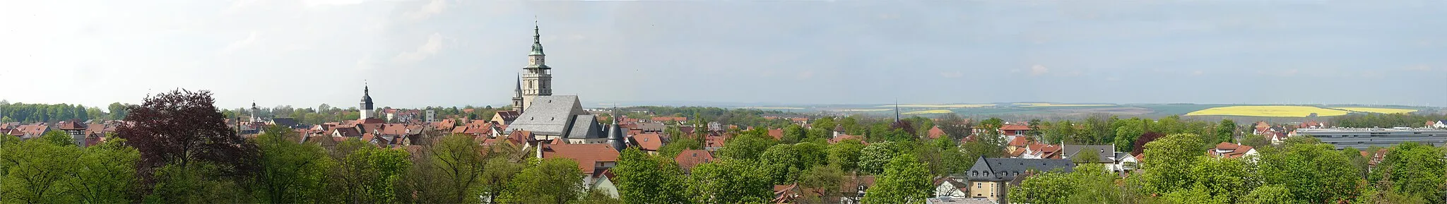
Höngeda - Bothenheilingen - Kaiserlinde - Thamsbrück - Vogelschutzwarte Seebach
A gravel cycling route starting from Seebach
Explore the gravel roads of Höngeda, Bothenheilingen, Kaiserlinde, Thamsbrück, and Vogelschutzwarte Seebach.
Map
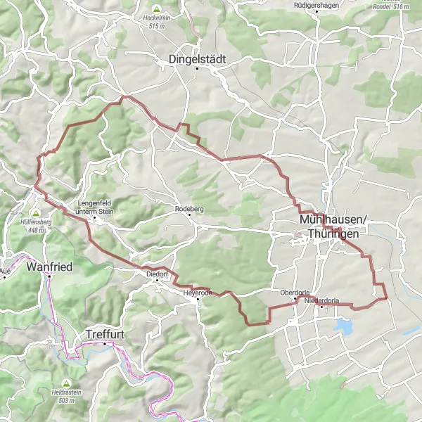
For gravel enthusiasts, this route offers a delightful adventure through scenic landscapes and charming villages. With a total ascent of 901 meters and a distance of 76 kilometers, it is suitable for intermediate-level cyclists. Highlights include the Grenzhaus Heyerode, an old border house with historical significance, and Vogelschutzwarte Seebach, a bird sanctuary with various species of birds. Explore the quaint village of Bothenheilingen and marvel at the majestic Kaiserlinde, a centuries-old linden tree. With a difficulty rating of 2 out of 5 and an epicness rating of 3 out of 5, it provides a pleasant gravel cycling experience.
gravel
76 km
901 m
Chill
Route profile
Highlights on the route
0 km
0 km
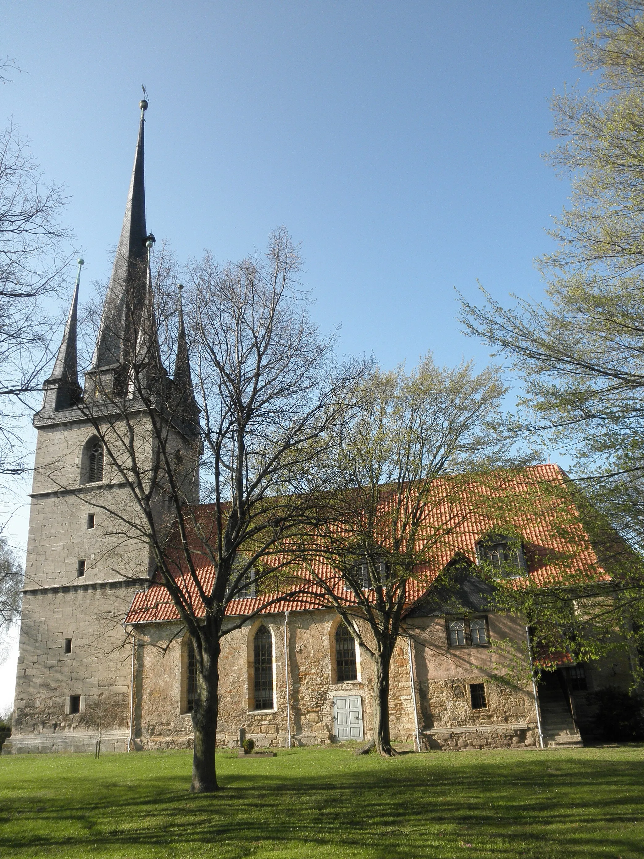
Start: Seebach Village centerSeebach: Thrilling climbs and stunning landscapes in Seebach, Germany
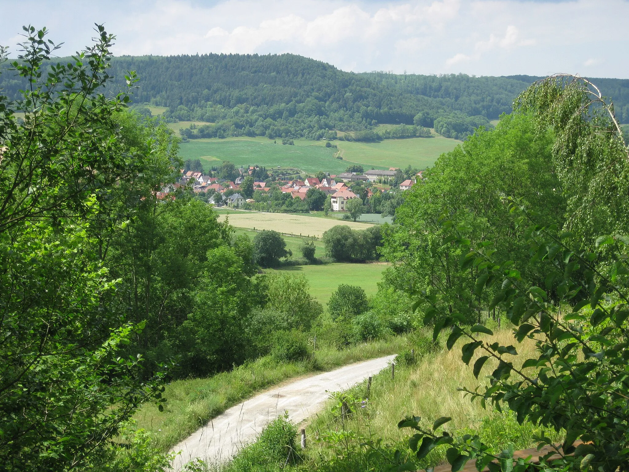
Seebach is a locality in Thüringen, Germany. From a cyclist's perspective, Seebach offers a range of cycling routes that showcase the region's natural beauty. The area is known for its hilly terrain, providing challenging climbs and breathtaking descents. Seebach is also home to the Rennsteig, a famous long-distance hiking trail that is popular among cyclists. With its stunning landscapes and challenging cycling options, Seebach is a great destination for road and gravel cyclists seeking an adventurous ride.16 km
16 km
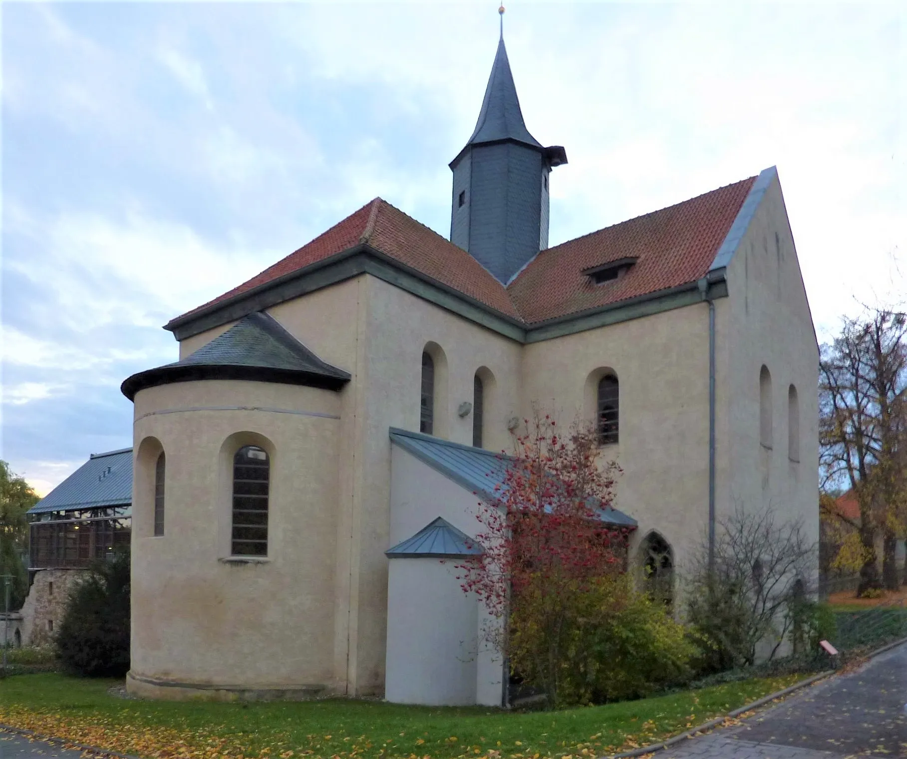
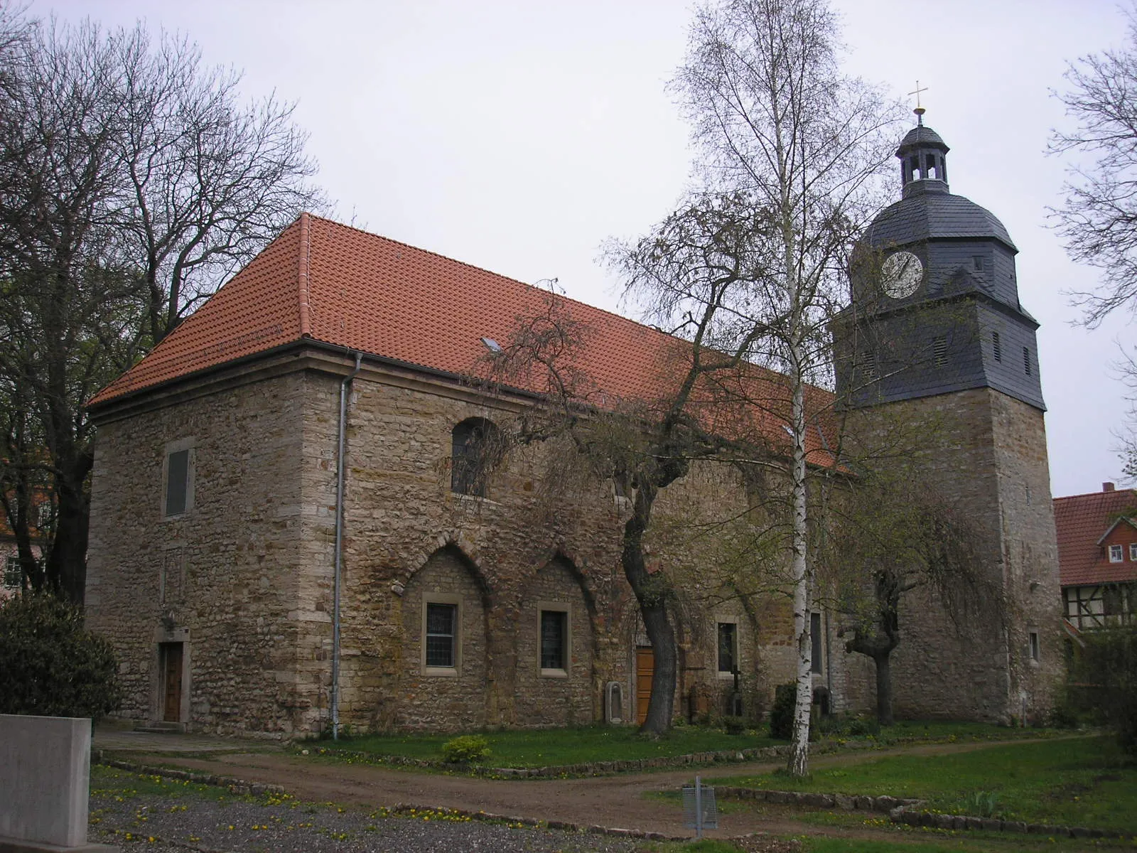
Grenzhaus HeyerodeAttractionGrenzhaus Heyerode is a historical border house that once marked the division between Thuringia and Hesse.
27 km
27 km
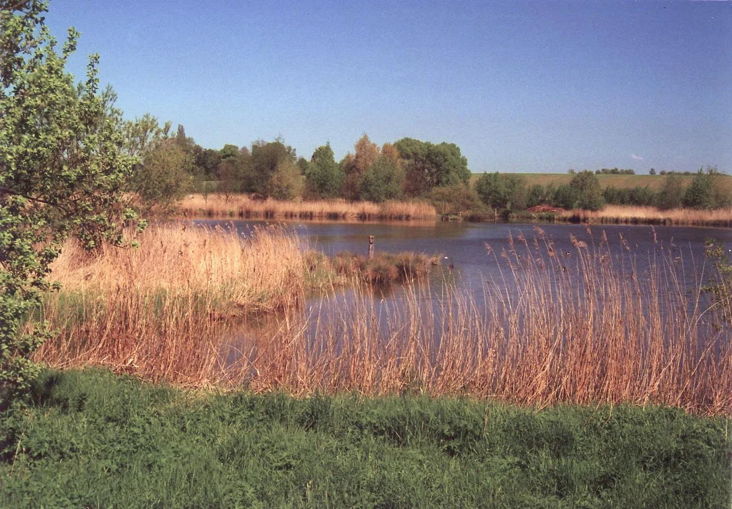
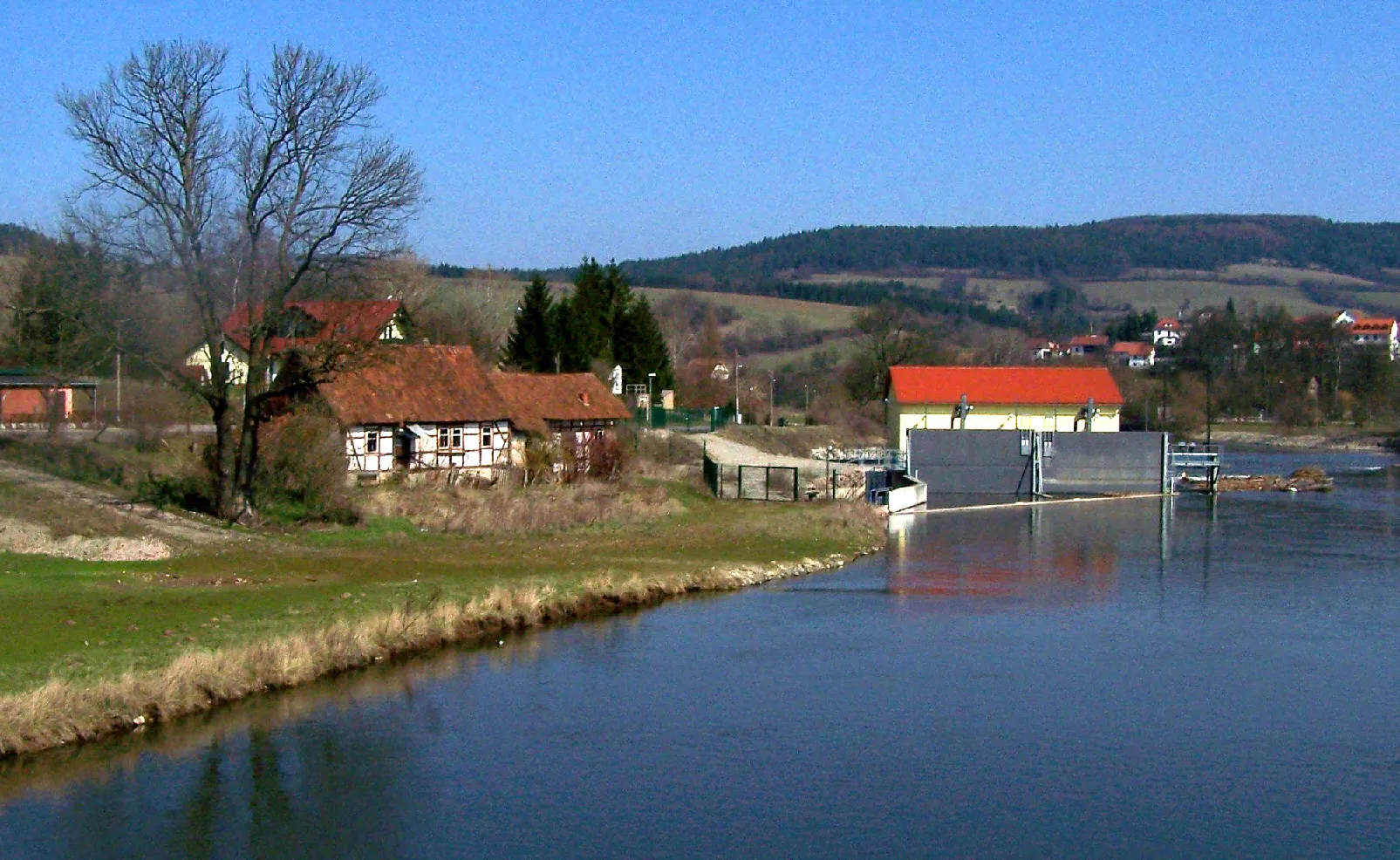
HildebrandshausenVillageHildebrandshausen is a tranquil village with beautiful nature trails and stunning views of the Thuringian landscapes.
40 km
40 km
Martinfelder Schimberg471 mPeakMartinfelder Schimberg offers challenging gravel roads and panoramic views over the surrounding countryside.
54 km
54 km
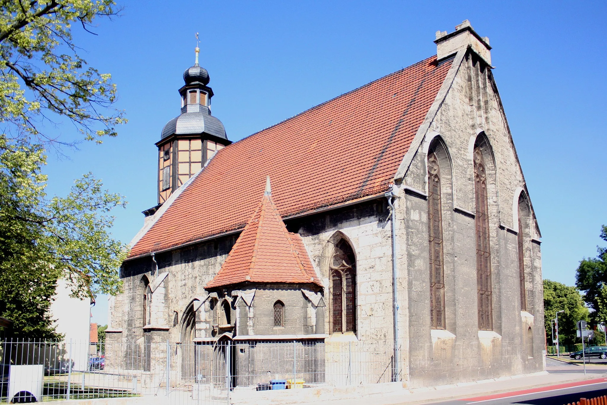
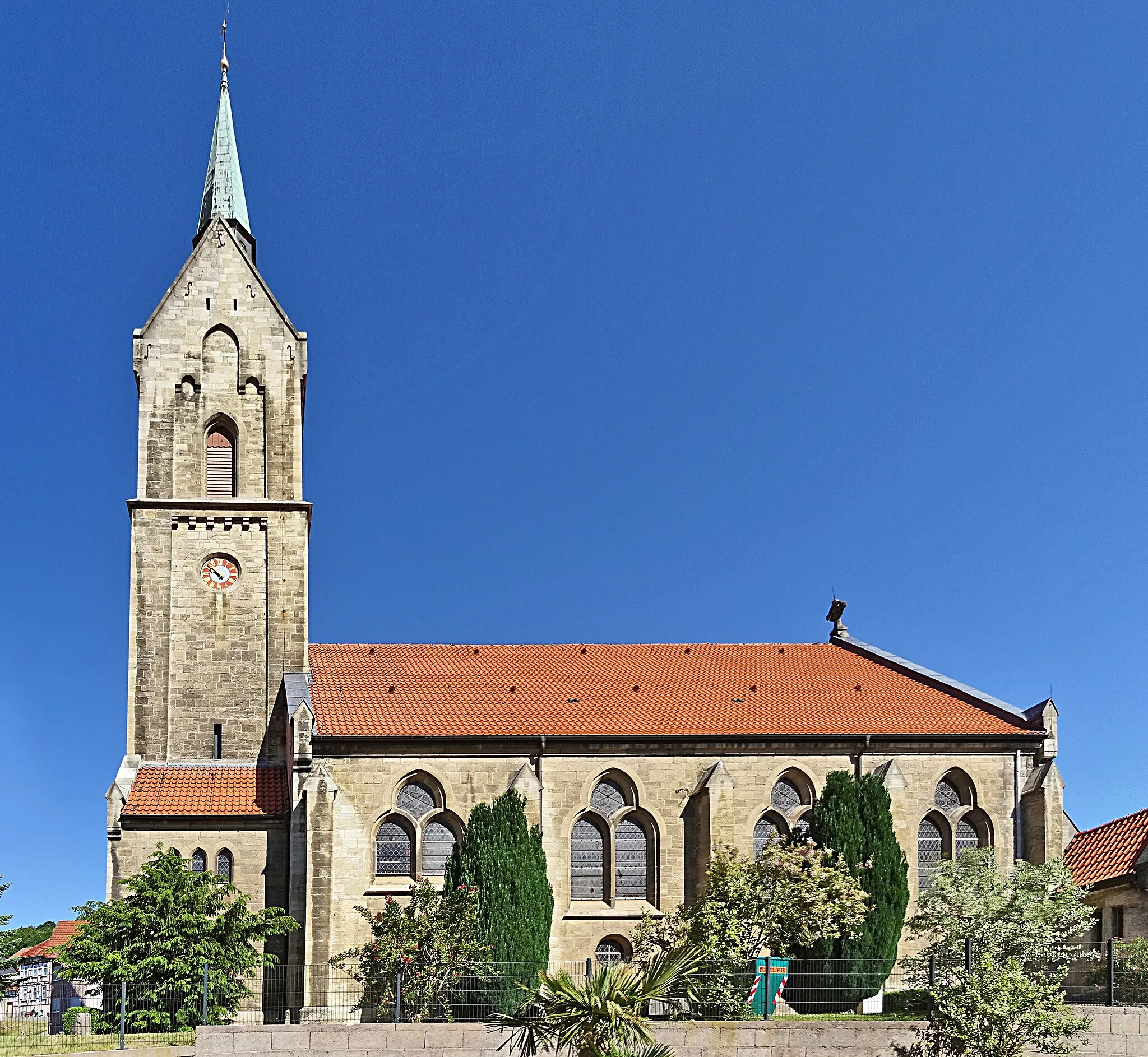
Kloster AnrodeAttractionKloster Anrode is a former monastery turned into a cultural center, preserving its rich heritage.
67 km
67 km
Inneres FrauentorAttractionInneres Frauentor is an impressive medieval gate structure that served as a fortified entrance to the village.
68 km
68 km
Der LöweViewpointDiscover Der Löwe, a symbol of courage and strength, standing tall in the heart of the region.
76 km
76 km
Finish: Seebach Village centerSeebach: Thrilling climbs and stunning landscapes in Seebach, Germany
Cycling routes from Seebach:
Through the Gravel Trails Exploring the Gravel Paradise Höngeda - Bothenheilingen - Kaiserlinde - Thamsbrück - Vogelschutzwarte Seebach Höngeda - Bothenheilingen - Kaiserlinde - Thamsbrück - Vogelschutzwarte Seebach Thüringen's Rural Delight The Epic Gravel Adventure Mülverstedt - Baumkronenpfad - Ebenheim - Kälberfeld - Zimmerberg - Mihlaer Berg - Rotes Schloss - Elsberg - Langula Seebach - Thamsbrück - Sülzenberg - Ufhoven Elsberg - Nazza - Schloss Bischofroda - Lerchenberg - Wommen - Weinberg - Lüderbach - Töpferberg - Eigenrieden - Der Löwe The Thüringen Adventure
Cycling routes nearby: