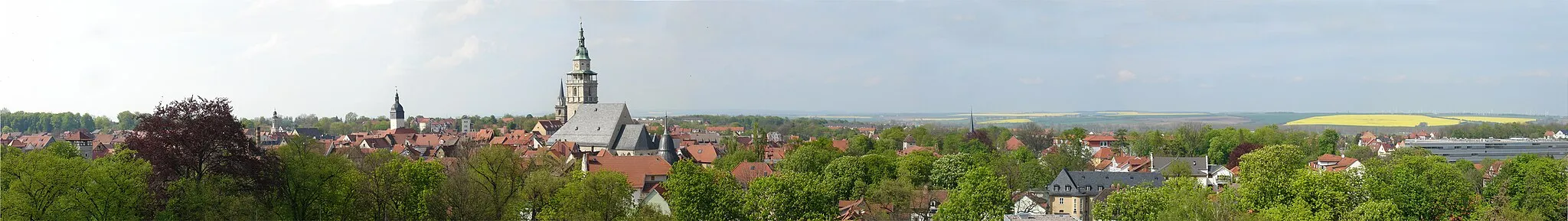
Seebach - Thamsbrück - Sülzenberg - Ufhoven
A road cycling route starting from Seebach
Experience a scenic road cycling route from Seebach to Thamsbrück, Sülzenberg, and Ufhoven.
Map
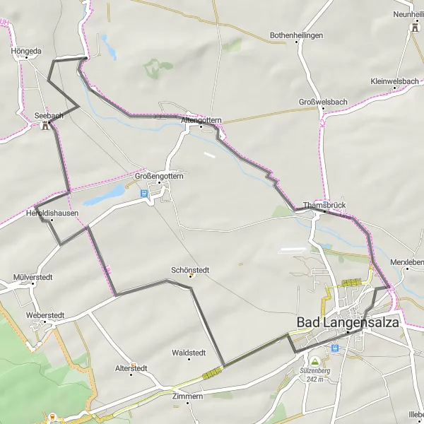
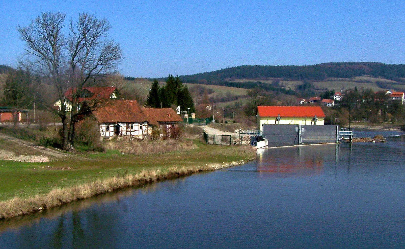
Enjoy a road cycling adventure in Seebach and explore the picturesque areas of Thamsbrück, Sülzenberg, and Ufhoven. This route offers beautiful landscapes and moderate difficulty suitable for amateur cyclists. With a total ascent of 197 meters and a distance of 38 kilometers, it provides a great option for a day trip. Immerse yourself in the natural beauty of the Vogelschutzwarte Seebach, a renowned bird sanctuary along the way. The route is rated 3 out of 5 for difficulty and 3 out of 5 for epicness.
road
38 km
197 m
Tough
Route profile
Highlights on the route
0 km
0 km
Start: Seebach Village centerSeebach: Thrilling climbs and stunning landscapes in Seebach, Germany
Seebach is a locality in Thüringen, Germany. From a cyclist's perspective, Seebach offers a range of cycling routes that showcase the region's natural beauty. The area is known for its hilly terrain, providing challenging climbs and breathtaking descents. Seebach is also home to the Rennsteig, a famous long-distance hiking trail that is popular among cyclists. With its stunning landscapes and challenging cycling options, Seebach is a great destination for road and gravel cyclists seeking an adventurous ride.14 km
14 km
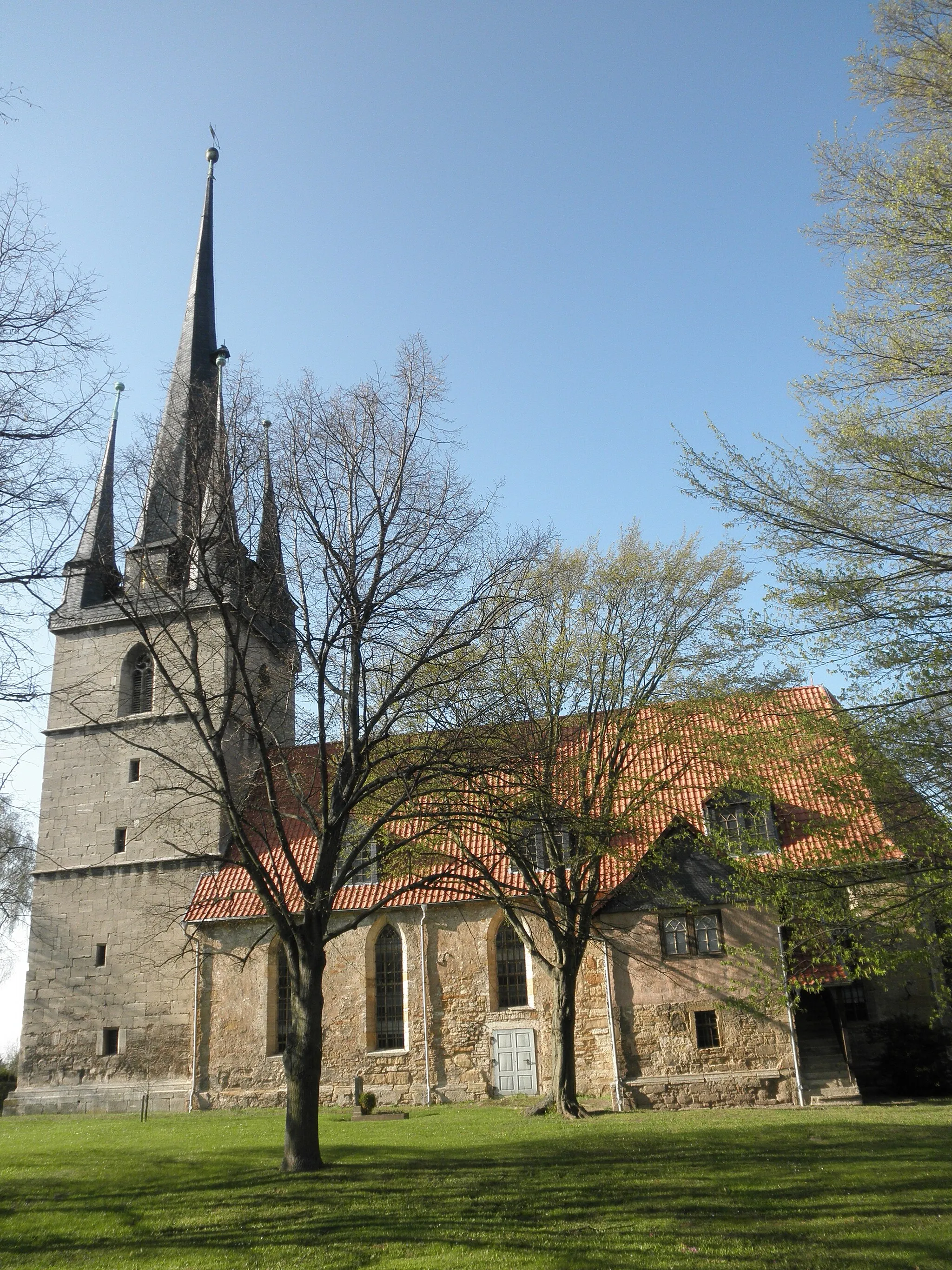
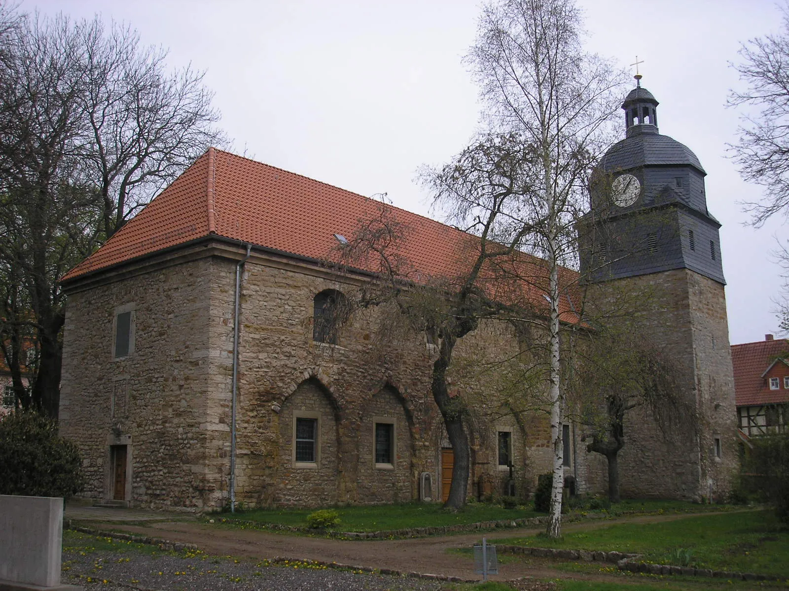
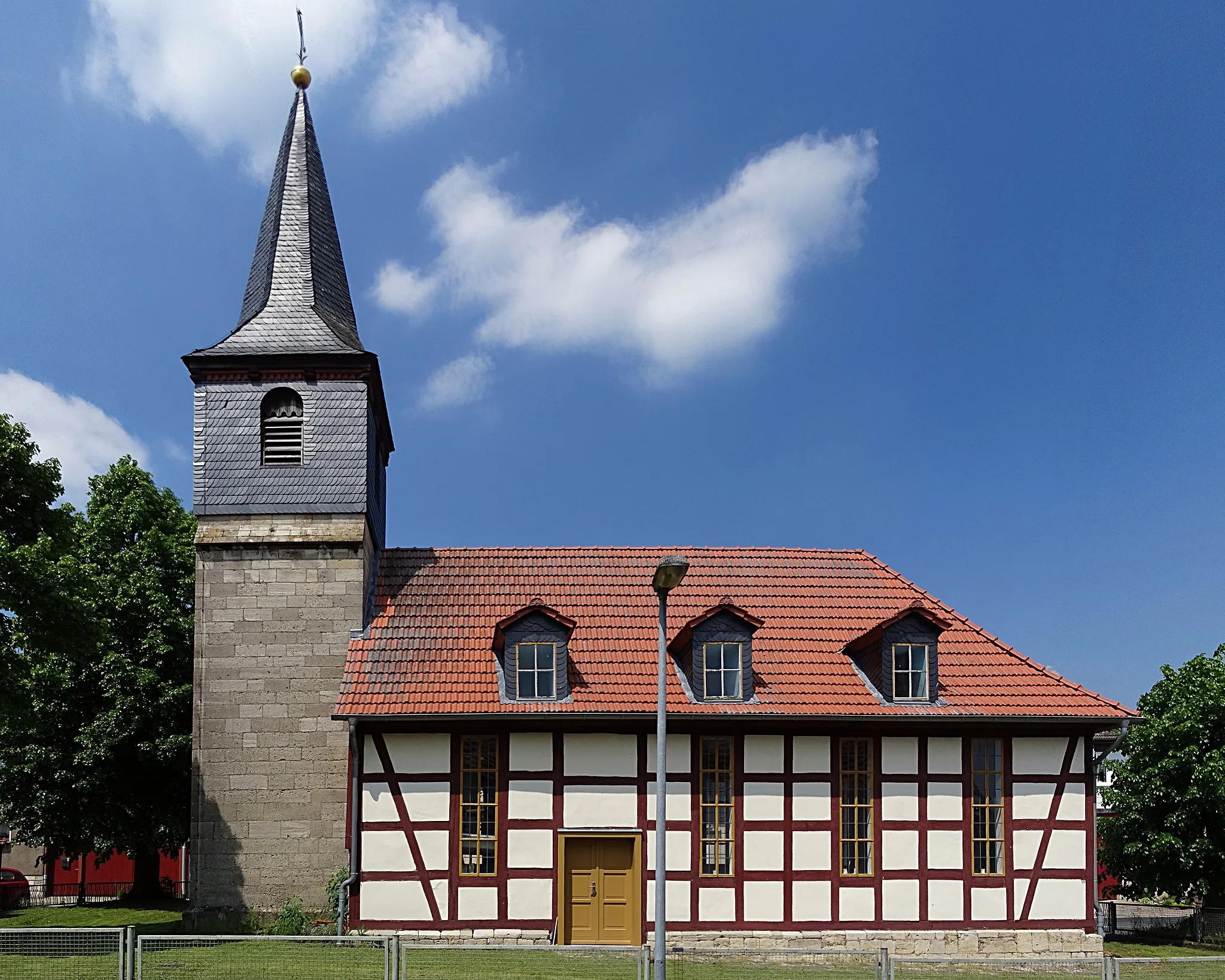
ThamsbrückVillageVisit Thamsbrück, a charming village on the route, known for its historic buildings and cozy atmosphere.
21 km
21 km
Sülzenberg242 mPeakSülzenberg offers stunning views over the surrounding countryside, making it a perfect spot to take a break and admire the scenery.
21 km
21 km
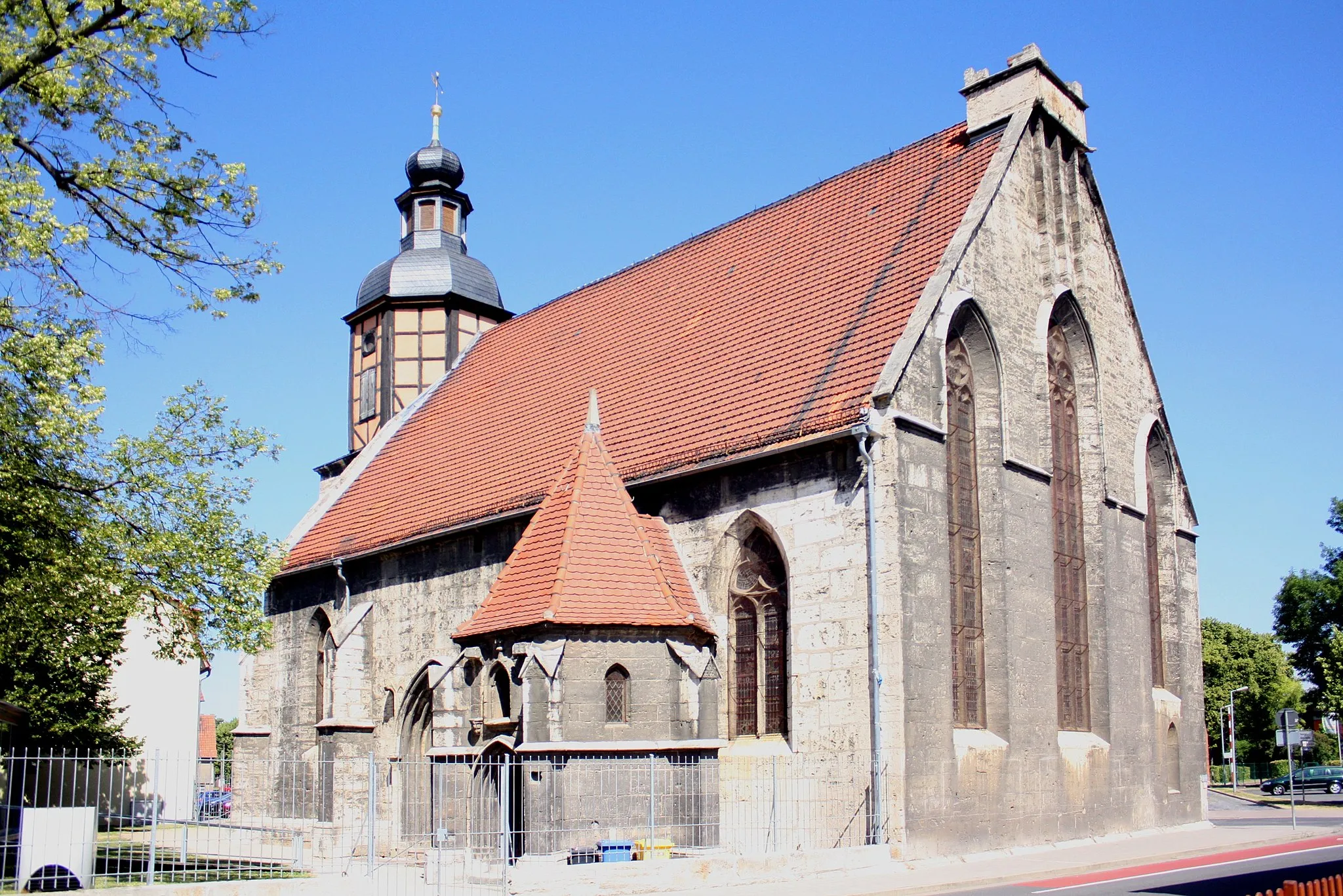
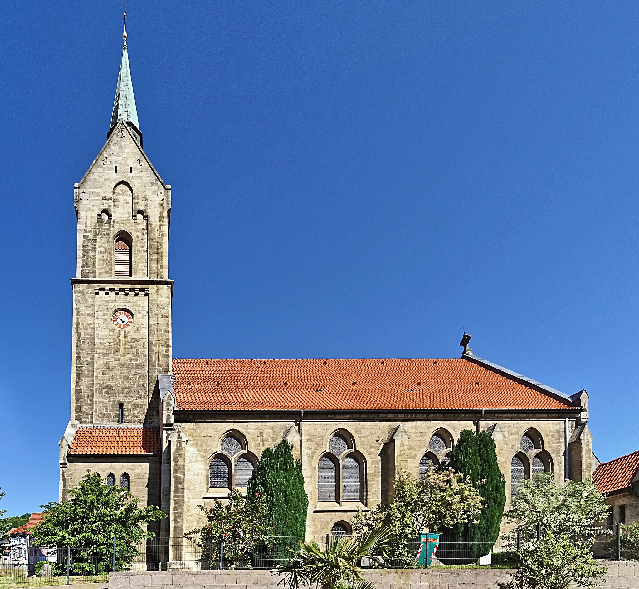
UfhovenSub-urbUfhoven is a quaint village characterized by its well-preserved half-timbered houses and traditional German architecture.
38 km
38 km
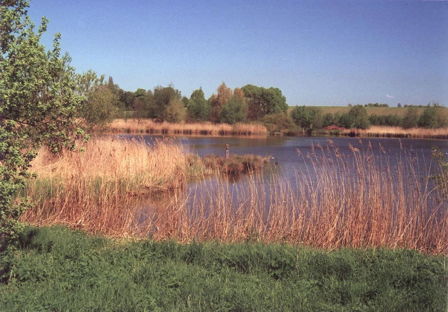
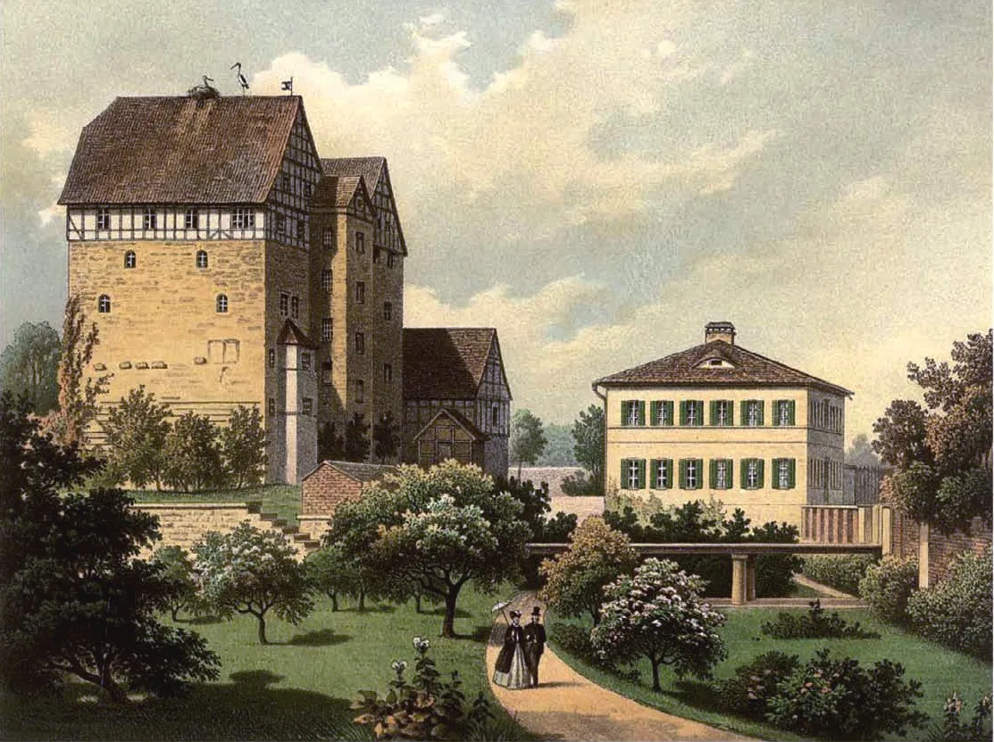
Vogelschutzwarte SeebachCastleExplore Vogelschutzwarte Seebach, a renowned bird sanctuary with diverse wildlife and beautiful nature trails.
38 km
38 km
Finish: Seebach Village centerSeebach: Thrilling climbs and stunning landscapes in Seebach, Germany
Cycling routes from Seebach:
Through the Gravel Trails Exploring the Gravel Paradise Höngeda - Bothenheilingen - Kaiserlinde - Thamsbrück - Vogelschutzwarte Seebach Höngeda - Bothenheilingen - Kaiserlinde - Thamsbrück - Vogelschutzwarte Seebach Thüringen's Rural Delight The Epic Gravel Adventure Mülverstedt - Baumkronenpfad - Ebenheim - Kälberfeld - Zimmerberg - Mihlaer Berg - Rotes Schloss - Elsberg - Langula Seebach - Thamsbrück - Sülzenberg - Ufhoven Elsberg - Nazza - Schloss Bischofroda - Lerchenberg - Wommen - Weinberg - Lüderbach - Töpferberg - Eigenrieden - Der Löwe The Thüringen Adventure
Cycling routes nearby: