Krayenberg Adventure
A gravel cycling route starting from Stadtlengsfeld
Conquer the challenging Krayenberg and discover hidden gems along the way
Map
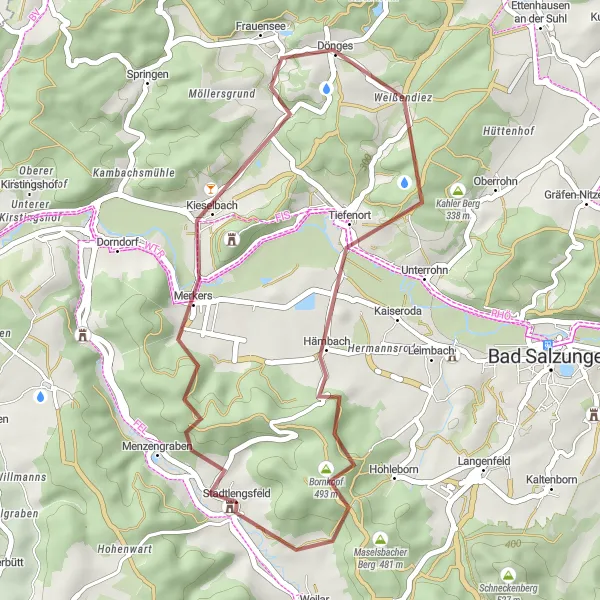
The Krayenberg Adventure offers a thrilling cycling experience through the diverse landscapes of Thüringen. With a total distance of 32 kilometers and an ascent of 697 meters, this route is perfect for those seeking a challenging yet rewarding ride. Along the way, you'll encounter various highlights, including Krayenberg, a steep climb that tests your endurance, and the picturesque Frauensee, a serene lake nestled amidst enchanting forests.
gravel
32 km
697 m
Tough
Route profile
Highlights on the route
0 km
0 km
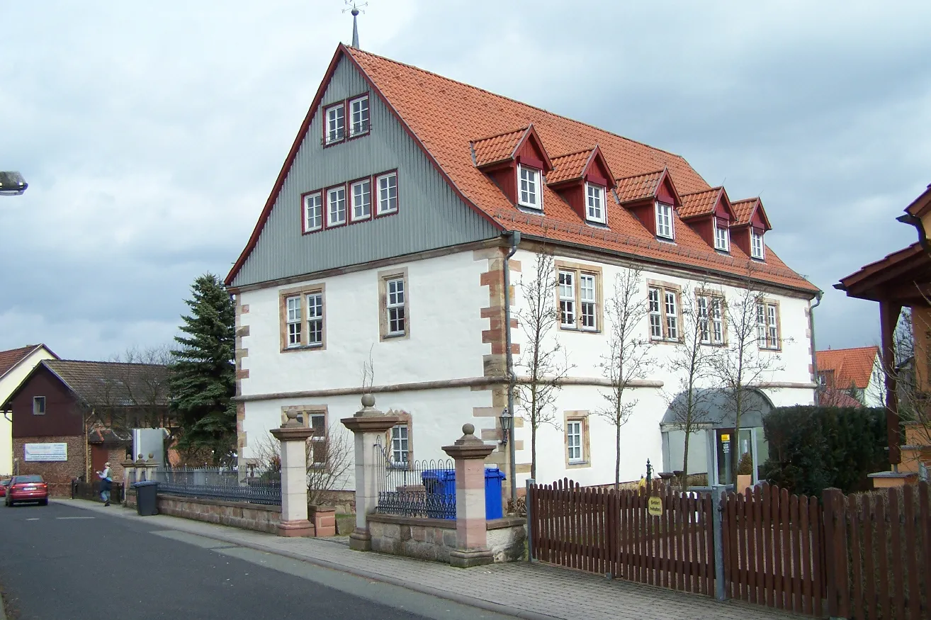
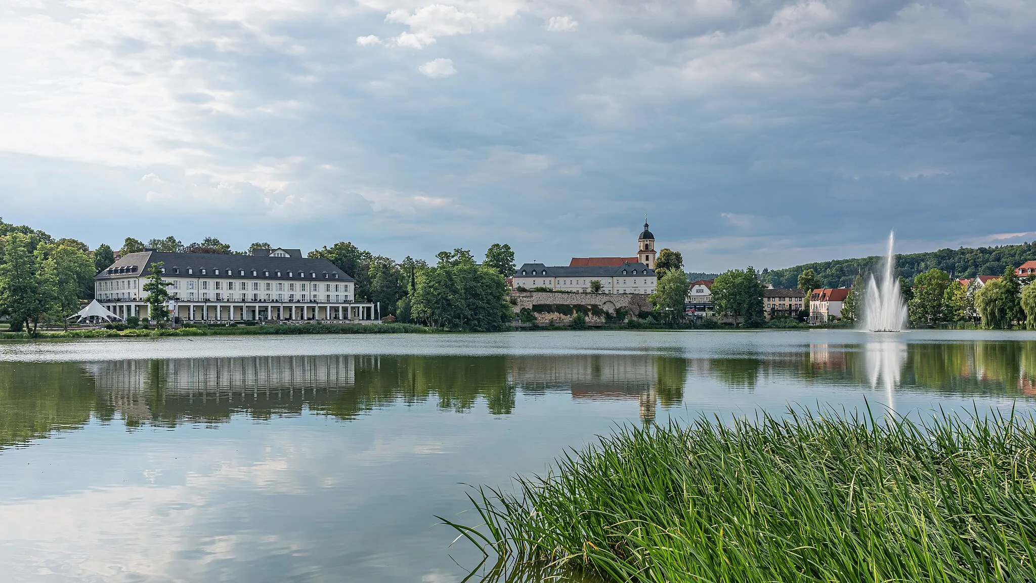
Start: Stadtlengsfeld Village centerStadtlengsfeld: Cyclist's Paradise in Thüringen, Germany
Stadtlengsfeld, located in Thüringen, Germany, offers cyclists a captivating mix of historical charm and picturesque landscapes. The town is surrounded by rolling hills and dense forests, creating a cyclist's haven. Cyclists can explore the superb cycling routes that wind through charming villages and past scenic viewpoints. Stadtlengsfeld is also near the Thuringian Forest, famous for its wide range of cycling opportunities, including well-known climbs like the Rennsteig trail. With its enchanting blend of history and nature, Stadtlengsfeld is an ideal destination for road and gravel cyclists.8 km
8 km
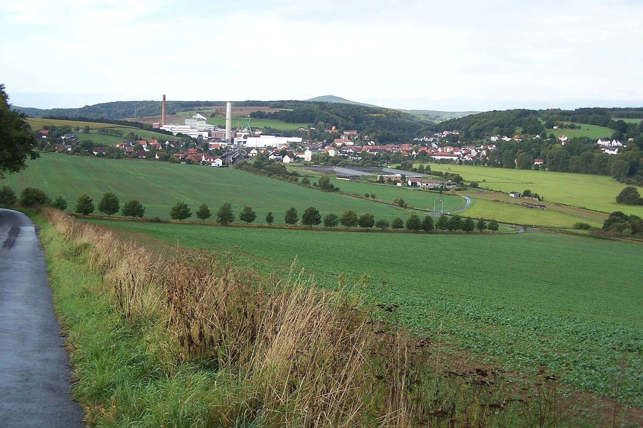
Krayenberg428 mPeakPrepare yourself for a challenging climb as you conquer Krayenberg. This steep ascent offers a true test of your cycling abilities, but the satisfaction of reaching the top is unparalleled. Enjoy the breathtaking views of Thüringen from this vantage point.
13 km
13 km
FrauenseeVillageFrauensee, located 13 kilometers into the route, is a picturesque lake surrounded by enchanting forests. Take a break here and bask in the peaceful atmosphere as you enjoy the natural beauty surrounding you.
20 km
20 km
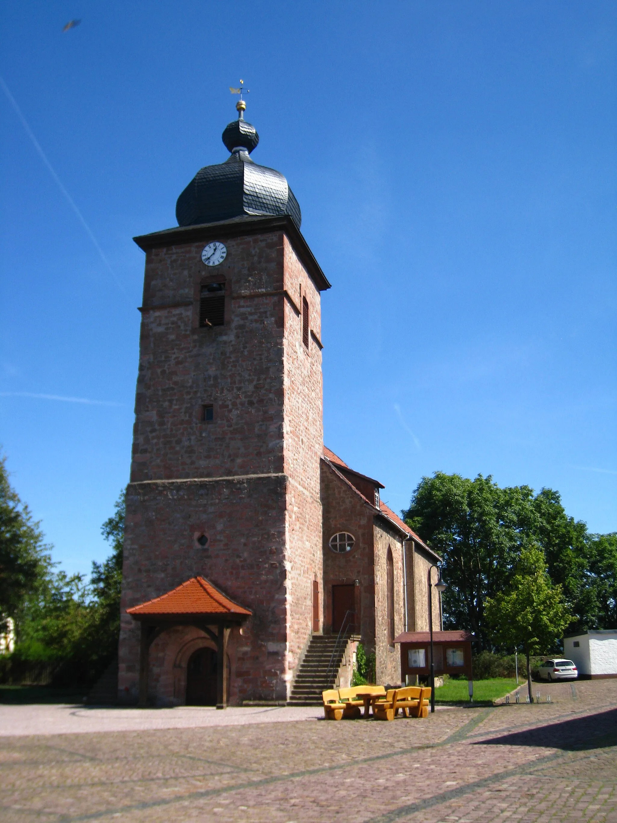
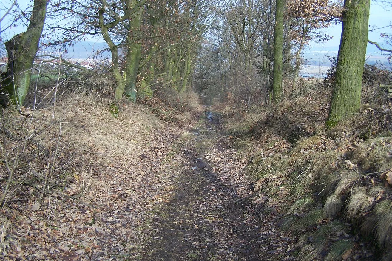
TiefenortVillageTiefenort, located 20 kilometers into the route, is a charming village known for its historical buildings and quaint streets. Take a moment to explore its hidden gems and discover the unique character of this Thüringer town.
26 km
26 km
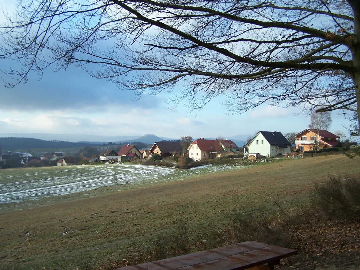
Lindenberg471 mPeakLindenberg, located 26 kilometers into the route, is a small hill offering panoramic views of the surrounding landscapes. Stop here to catch your breath and appreciate the beauty of Thüringen from this scenic vantage point.
32 km
32 km
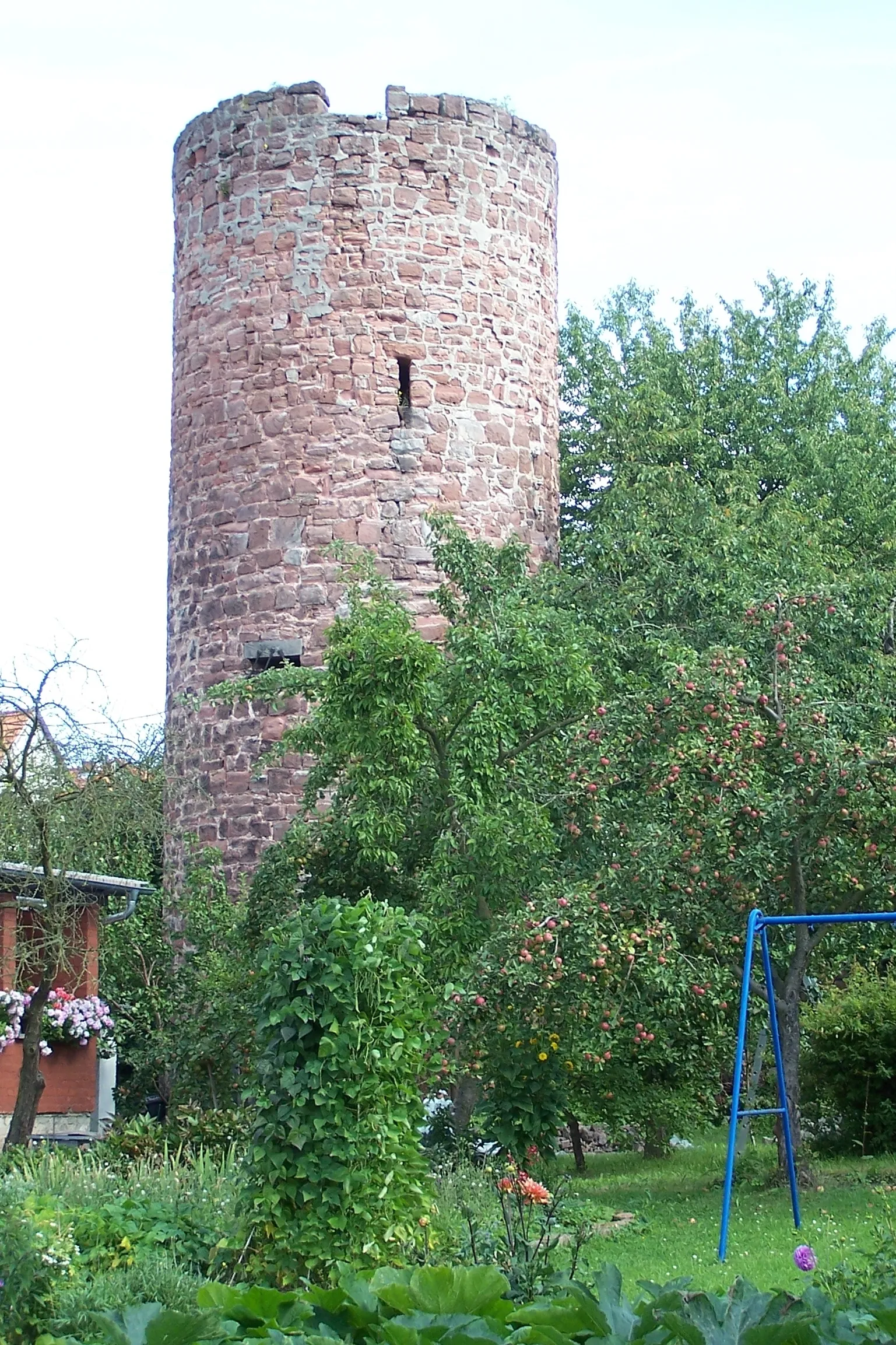
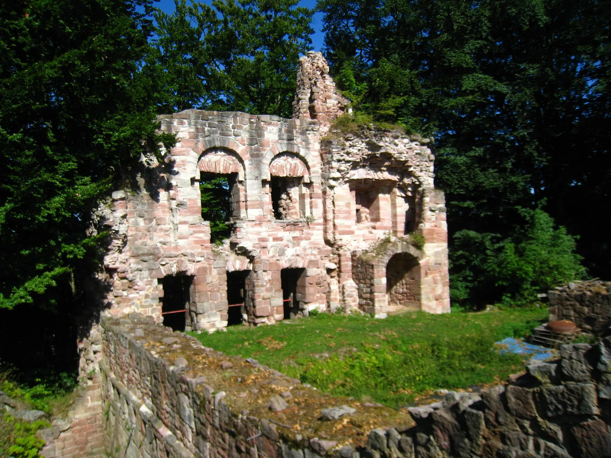
Feldabrücke (Eisenbahn) im StadtparkCastle RuinsLocated 32 kilometers into the route, the Feldabrücke (Eisenbahn) im Stadtpark is a historic railway bridge situated in a charming park. Admire its architectural beauty and learn about its historical significance as you pause for a break.
32 km
32 km
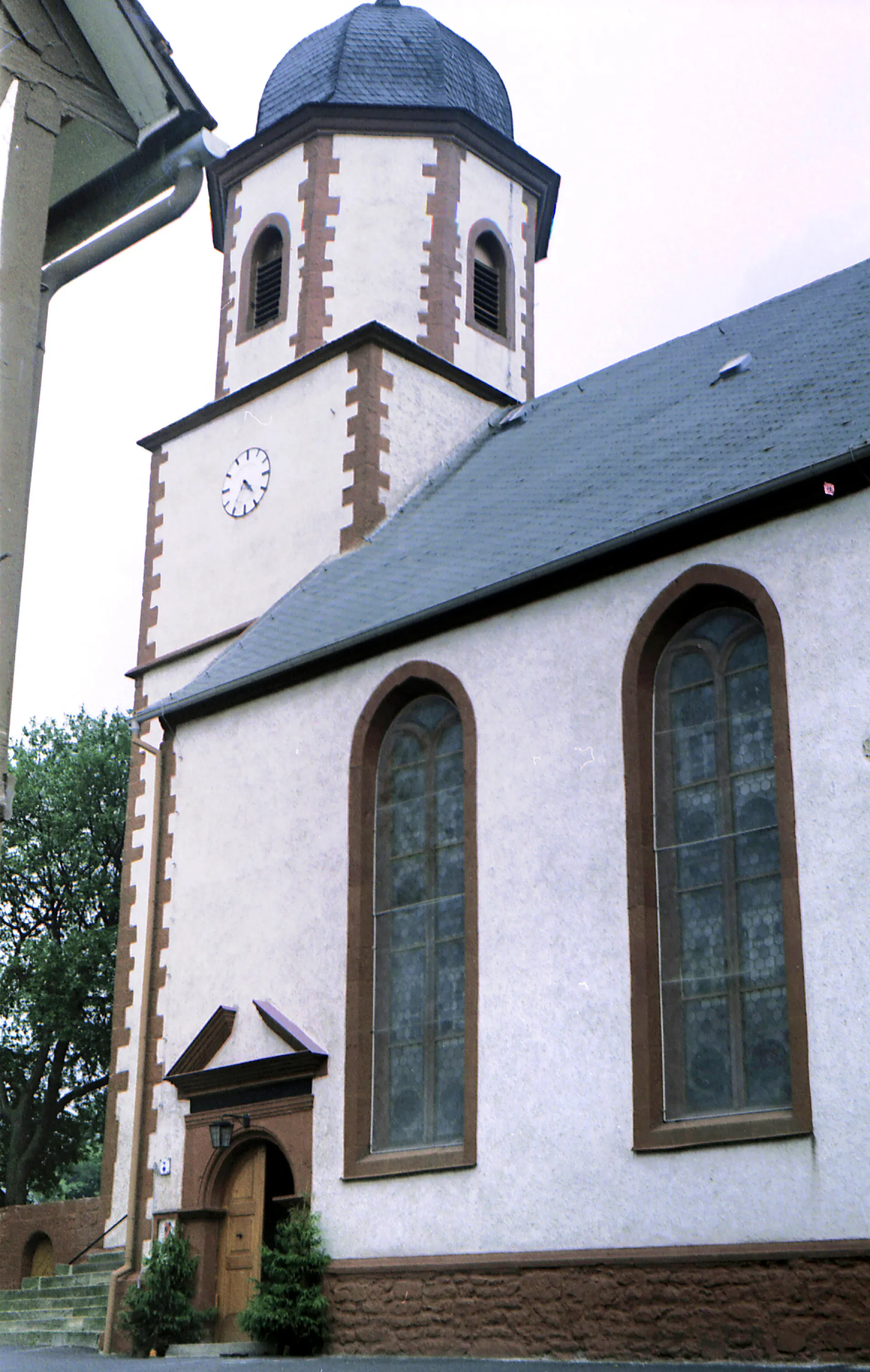
Finish: Stadtlengsfeld Village centerStadtlengsfeld: Cyclist's Paradise in Thüringen, Germany
Cycling routes from Stadtlengsfeld:
Cycling routes nearby: