Unterbreizbach Road Cycling Route
A road cycling route starting from Unterbreizbach
Discover the charm of Thüringen on this road cycling route near Unterbreizbach.
Map
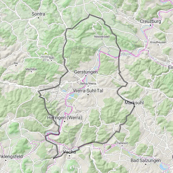
This road cycling route near Unterbreizbach offers a delightful mix of picturesque landscapes, charming villages, and historic landmarks. With a total ascent of 1,145 meters and a distance of 92 kilometers, it provides a challenging yet rewarding ride for well-trained amateurs. Cyclists can expect to encounter highlights such as the Wölfershausen, Mahnmal Bodesruh, Richelsdorf, Ottilienberg, Marksuhl, Lichtberg, Eiersberg, and Vacha along the way.
road
92 km
1145 m
Tough
Route profile
Highlights on the route
0 km
0 km
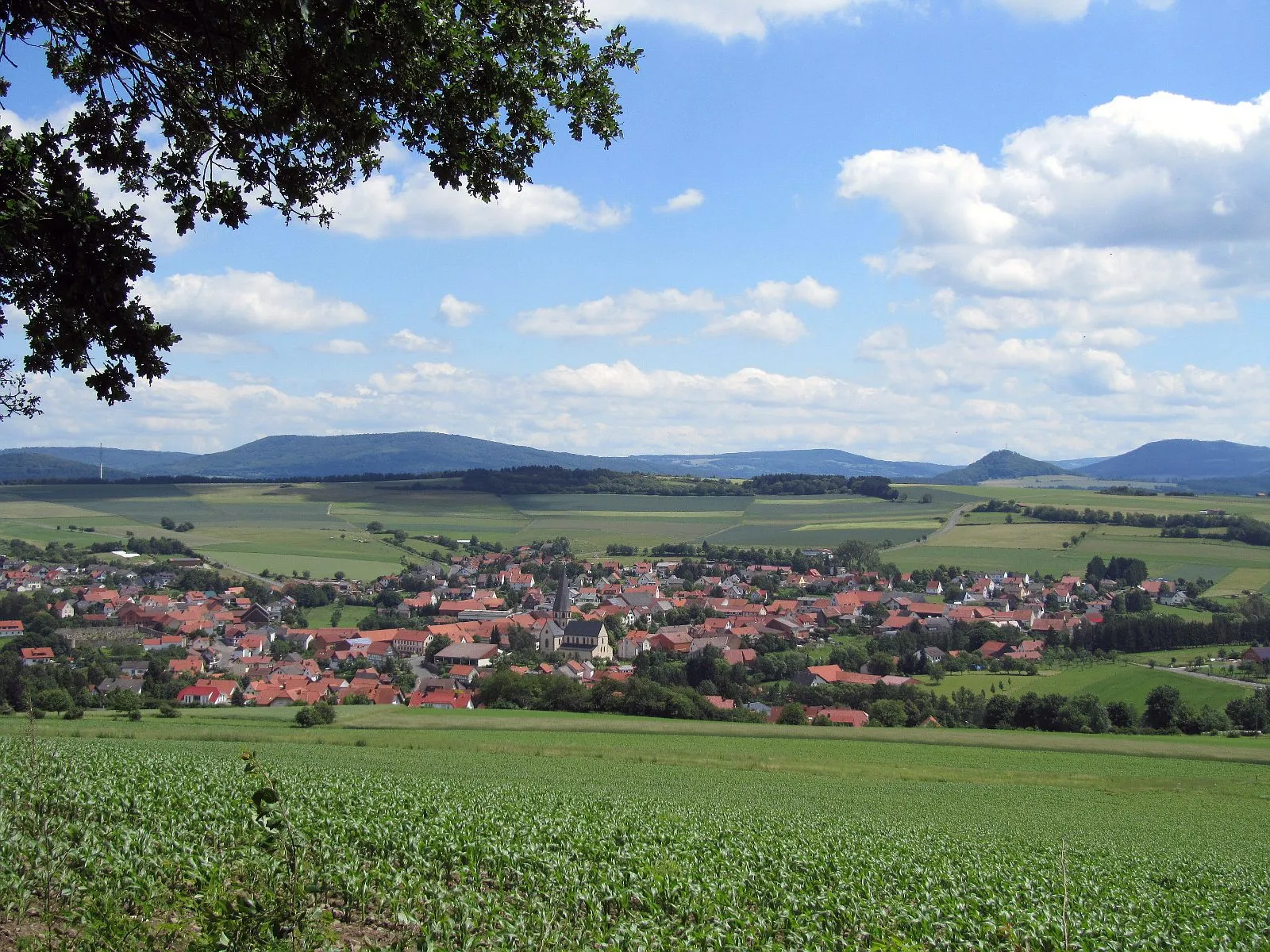
Start: Unterbreizbach Village centerUnterbreizbach: Tranquil countryside rides and challenging climbs in Unterbreizbach.
Unterbreizbach, located in the Thüringen region of Germany, offers a mix of scenic countryside and challenging cycling routes. As a road and gravel cyclist, you can explore the picturesque landscapes on well-maintained roads and gravel paths. A notable climb nearby is the Heldrastein, known for its steep inclines and panoramic views. Unterbreizbach is surrounded by nature, providing cyclists with peaceful and tranquil rides away from busy urban areas. The local community also hosts cycling events and races, creating a vibrant cycling culture in the area.11 km
11 km
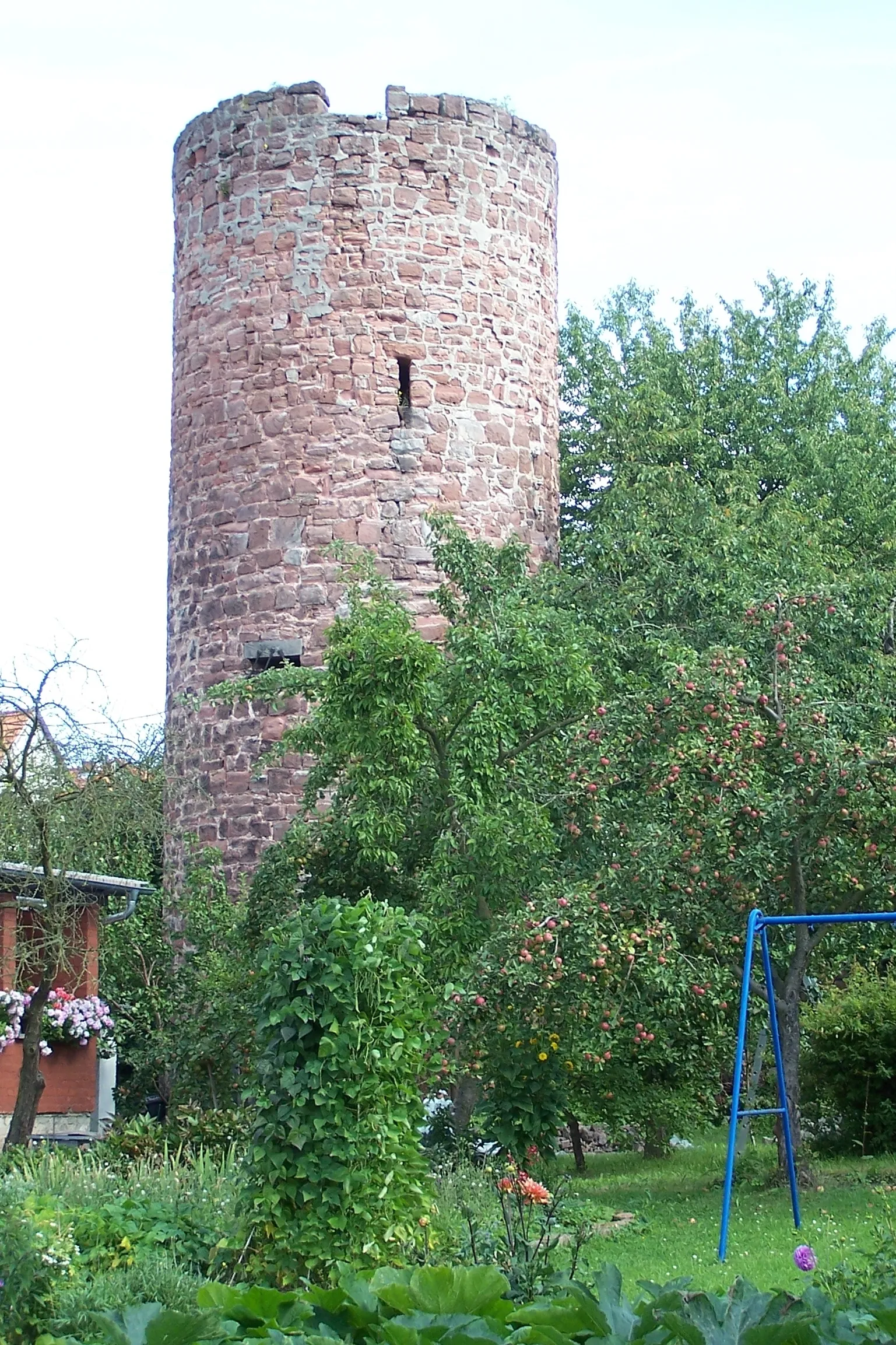
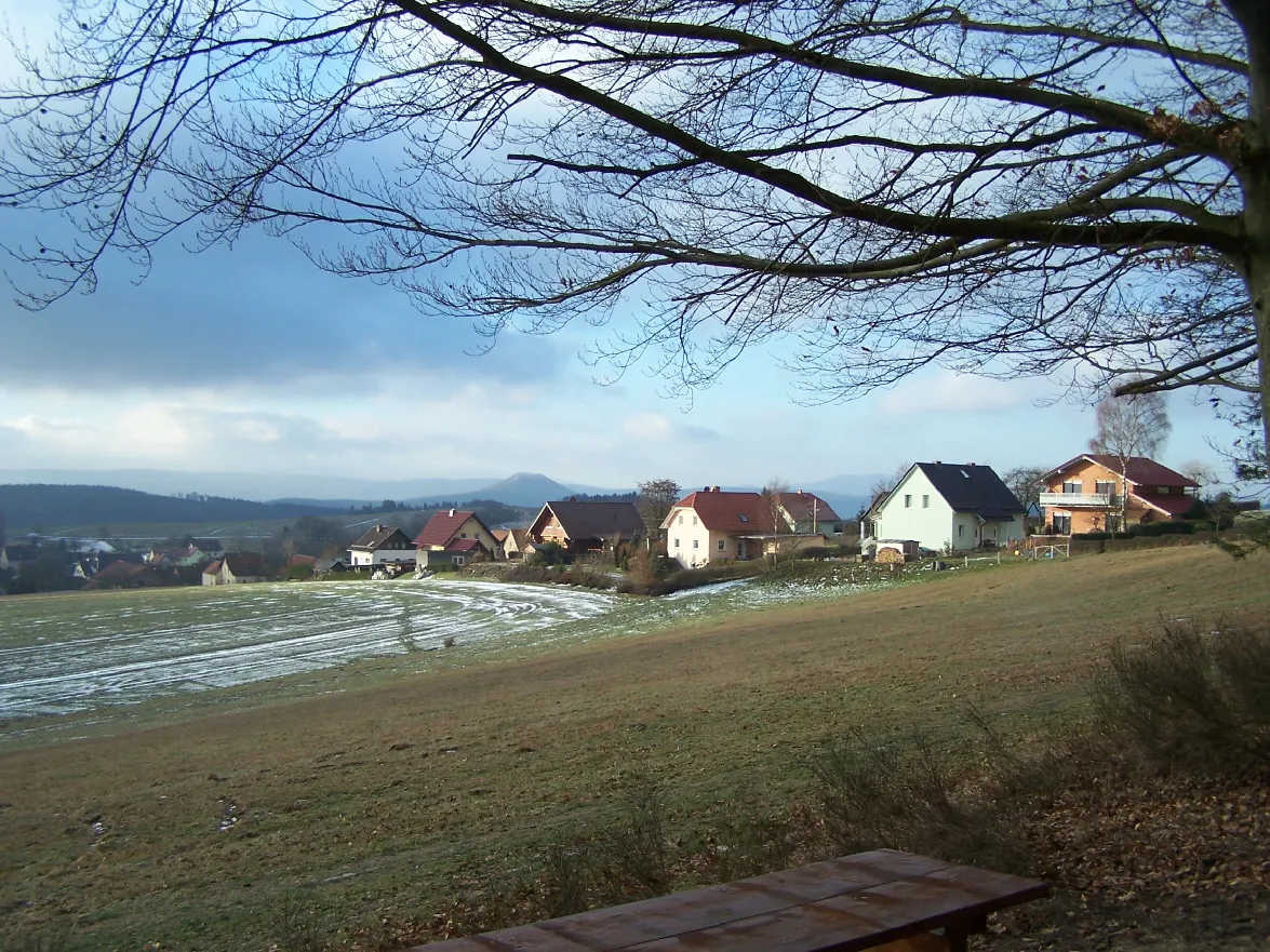
WölfershausenVillageExplore the idyllic village of Wölfershausen, known for its beautiful architecture and traditional homesteads.
17 km
17 km
Mahnmal BodesruhViewpointVisit the Mahnmal Bodesruh, a memorial honoring the citizens of Bodesruh who gave their lives during World War II.
29 km
29 km
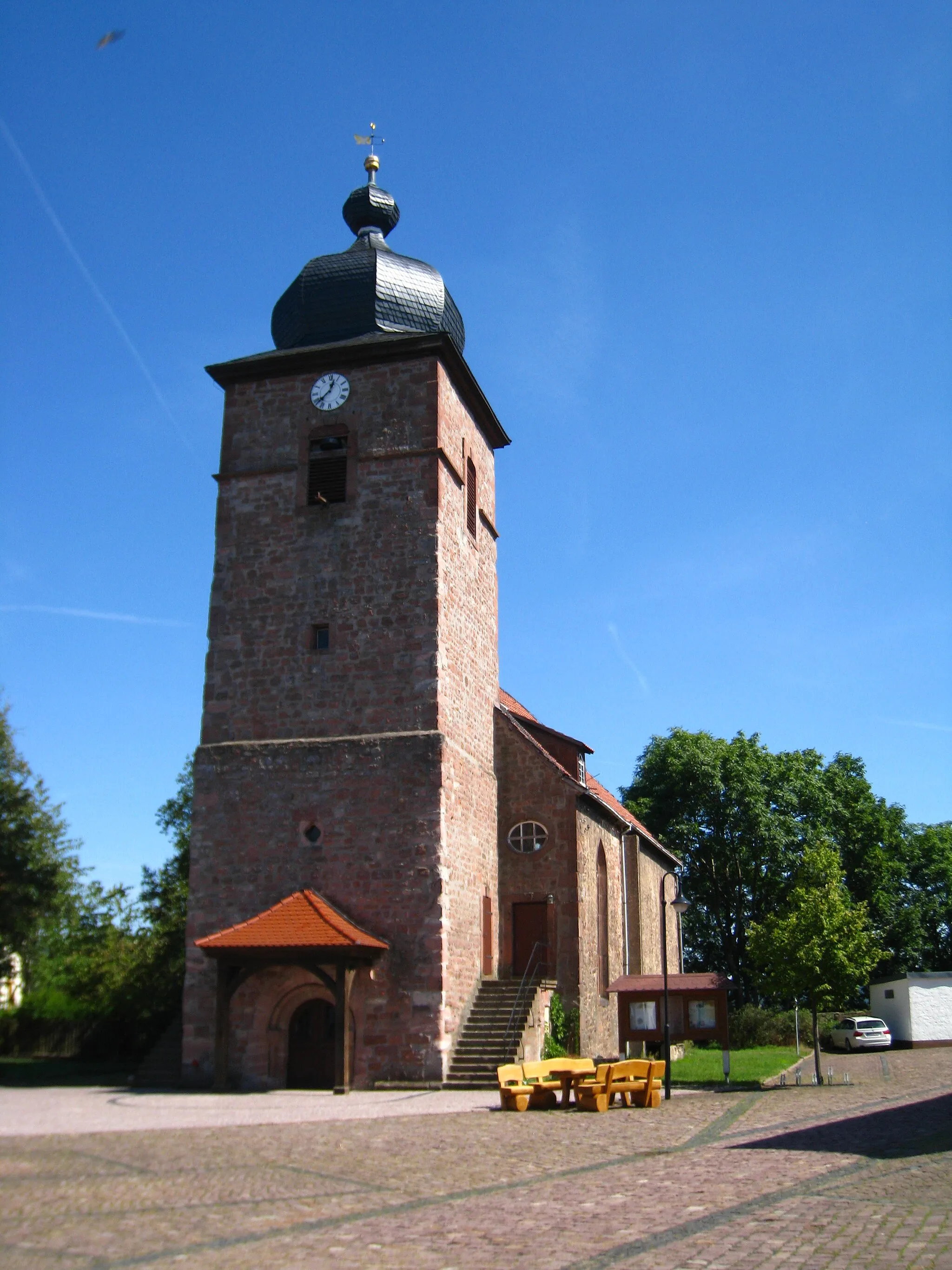
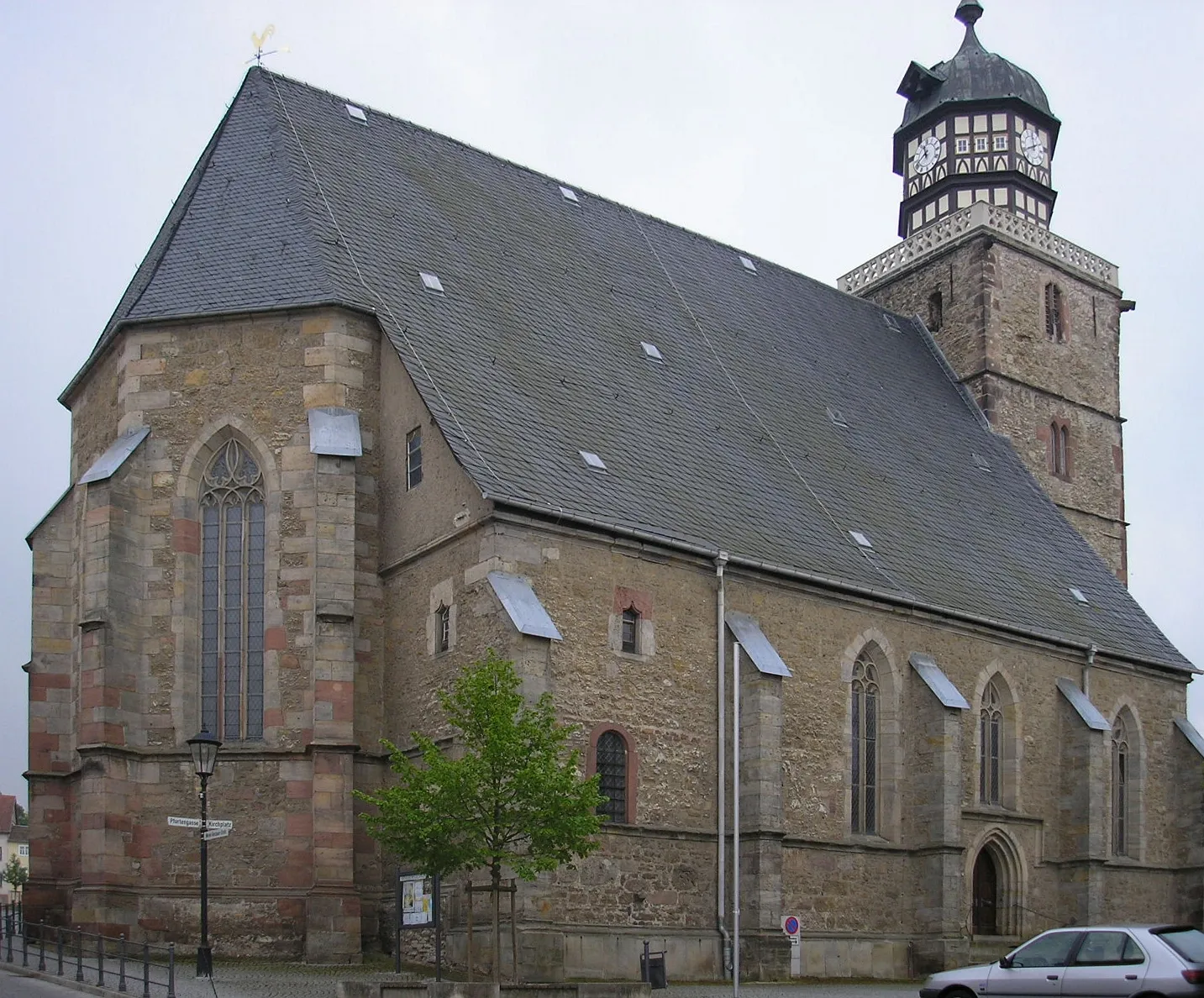
RichelsdorfVillageAdmire the historical town of Richelsdorf, known for its meticulously preserved half-timbered houses and narrow cobblestone streets.
36 km
36 km
Ottilienberg416 mPeakClimb the Ottilienberg hill to enjoy panoramic views of the surrounding countryside.
50 km
50 km
Lenne380 mPeakTake a break in the charming village of Lenne and sample local delicacies at one of its traditional restaurants.
54 km
54 km
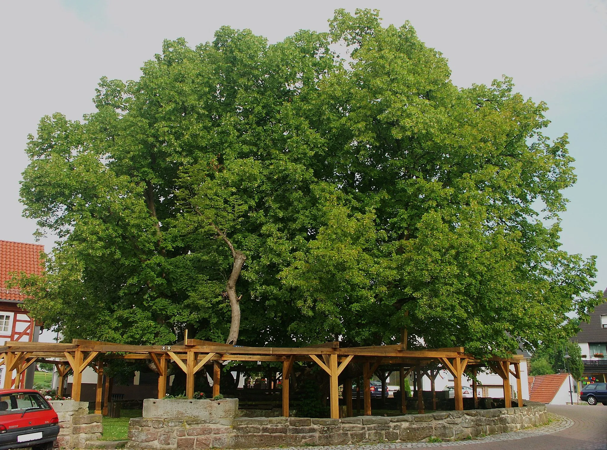
HerleshausenVillageDiscover the enchanting town of Herleshausen and immerse yourself in its rich history dating back to the medieval era.
69 km
69 km
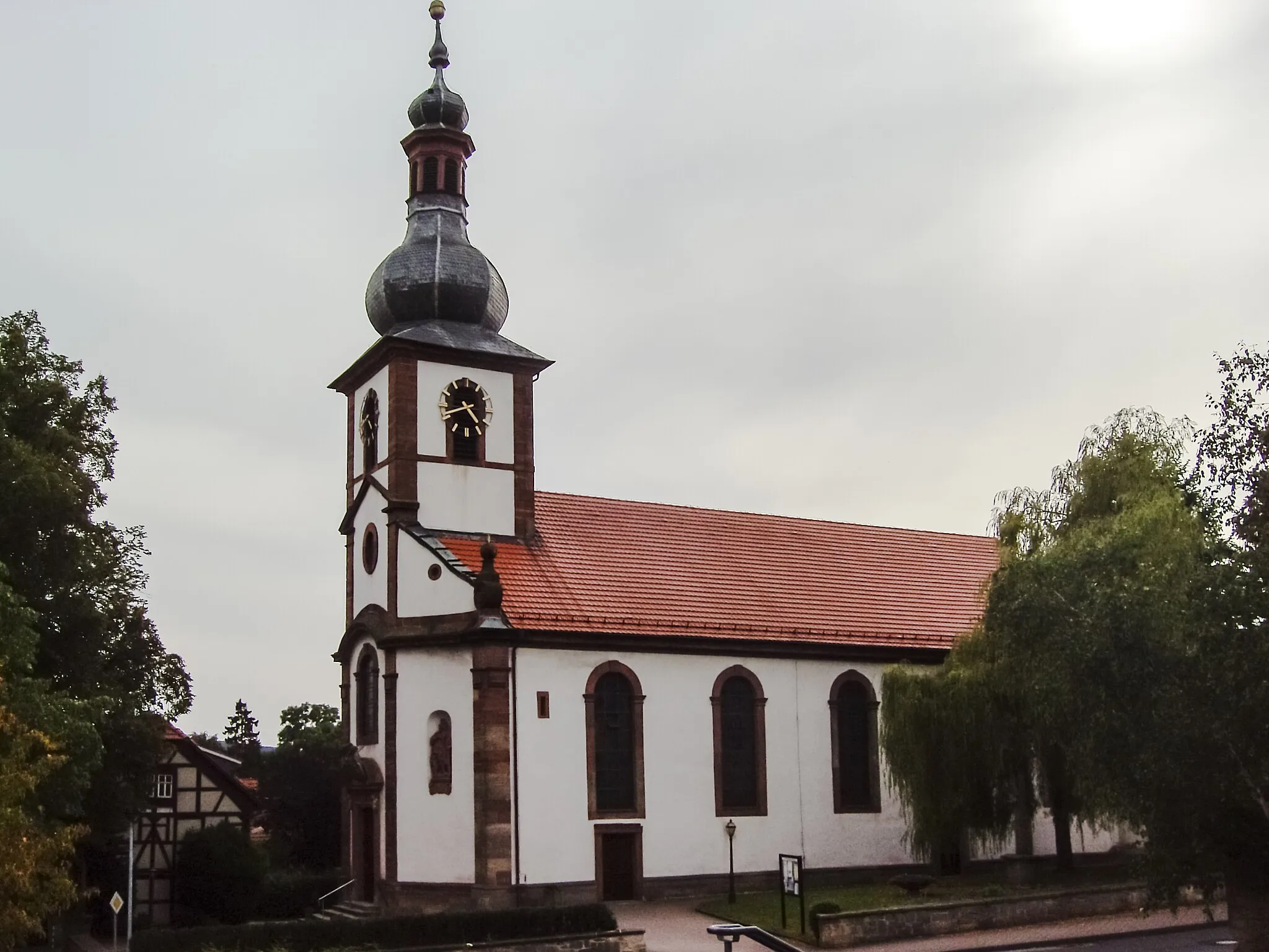
MarksuhlTownPass through the picturesque town of Marksuhl, known for its well-preserved timber-framed houses and quaint streets.
76 km
76 km
Lichtberg346 mPeakEnjoy a challenging climb up the Lichtberg hill, which rewards cyclists with stunning views from its summit.
85 km
85 km
Eiersberg280 mPeakMarvel at the scenic beauty of the Eiersberg hill, covered with lush meadows and forests.
88 km
88 km
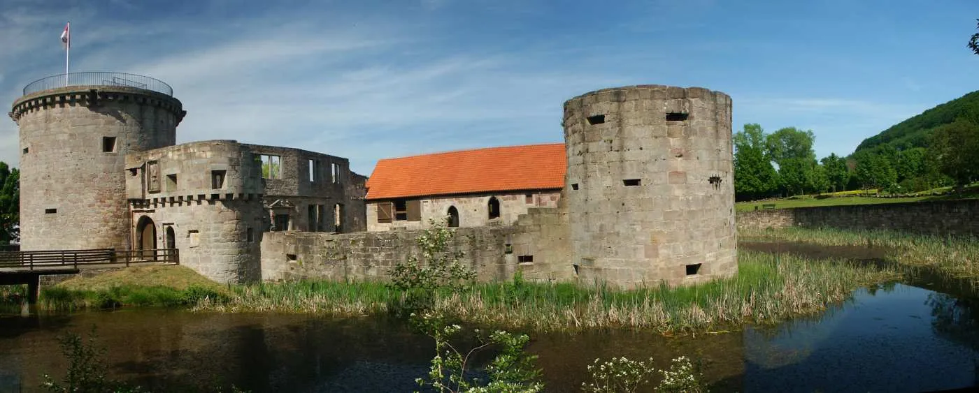
VachaTownVisit the historic town of Vacha, home to impressive architectural landmarks and a rich cultural heritage.
92 km
92 km
Finish: Unterbreizbach Village centerUnterbreizbach: Tranquil countryside rides and challenging climbs in Unterbreizbach.
Cycling routes from Unterbreizbach:
Thüringen Gravel Adventure Thüringen Gravel Delight Thüringen Gravel Extreme Thüringen Gravel Discovery Thüringen Road Grand Tour Adventure in the Green Heart of Thuringia Scenic Wonders and Historic Landmarks Rural Charm and Hidden Gems History and Natural Beauty Unterbreizbach Gravel Adventure Unterbreizbach Gravel Cycling Route Unterbreizbach Road Cycling Route
Cycling routes nearby: