The Thuringian Hills Road Cycling Challenge
A road cycling route starting from Waltershausen
Conquer Thuringia's hilly landscape in this challenging road cycling route.
Map
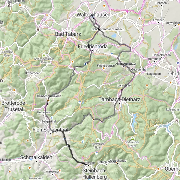
This road cycling route near Waltershausen is perfect for well-trained amateurs looking to tackle some challenging hills. With a total ascent of 1,239 meters and a distance of 71 kilometers, this route will test your endurance and climbing skills. As you ride through the picturesque Thuringian hills, you'll be rewarded with breathtaking views and plenty of natural beauty. The route includes several highlights, such as the historic Knie castle and the scenic Lohmühle. Overall, this route offers a great combination of physical challenge and beautiful scenery.
road
71 km
1239 m
Tough
Route profile
Highlights on the route
0 km
0 km
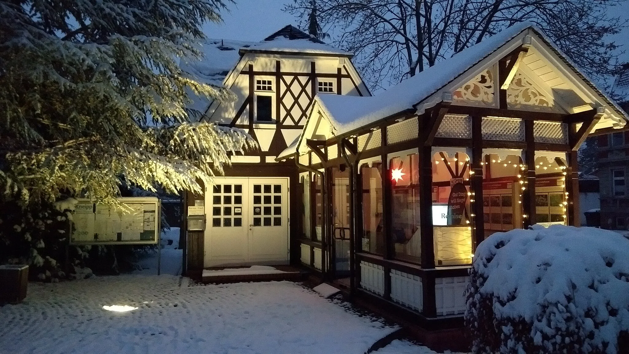
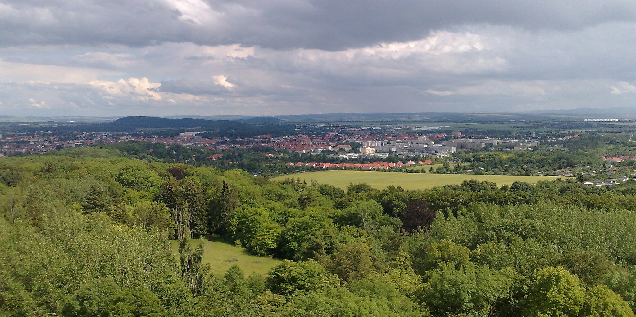
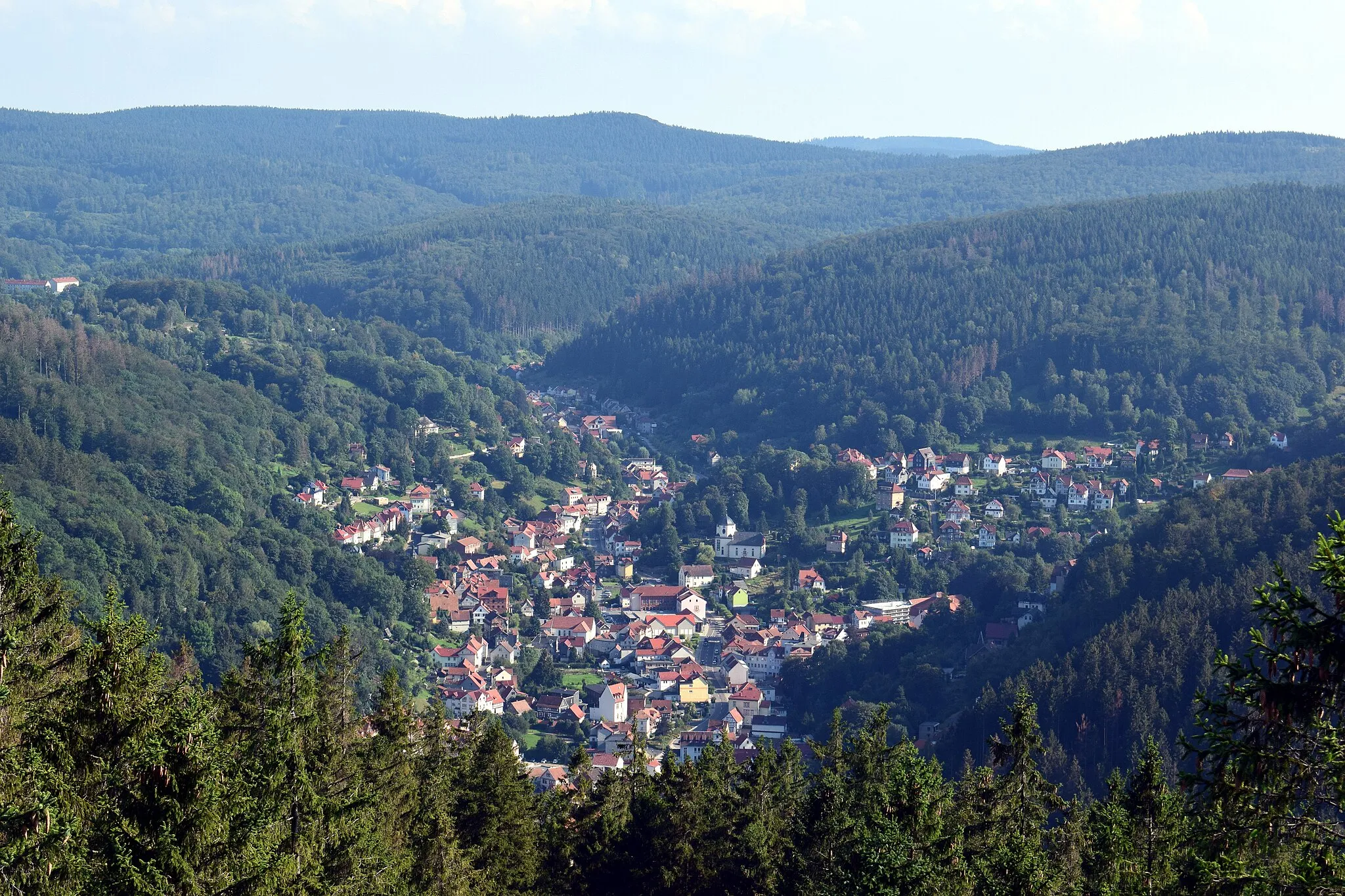
Start: Waltershausen City centerWaltershausen: Conquer the legendary Großer Inselsberg climb and explore the scenic countryside in Waltershausen.
Waltershausen, located in Thüringen, Germany, is a cyclist's paradise. The locality offers a wide range of cycling routes, including both road and gravel options. Cyclists can enjoy riding through the beautiful countryside and exploring the charming villages in the region. Waltershausen is also known for its proximity to the iconic climb, Großer Inselsberg. This legendary climb attracts avid cyclists from around the world to test their limits and enjoy the stunning panoramic views from the top. With its diverse cycling routes and famous climbs nearby, Waltershausen is a must-visit destination for cyclists.16 km
16 km
Knie489 mPeakLocated at 16 kilometers on the route, the Knie castle offers a glimpse into Thuringia's rich history and provides a unique spot to rest and take in the surroundings.
17 km
17 km
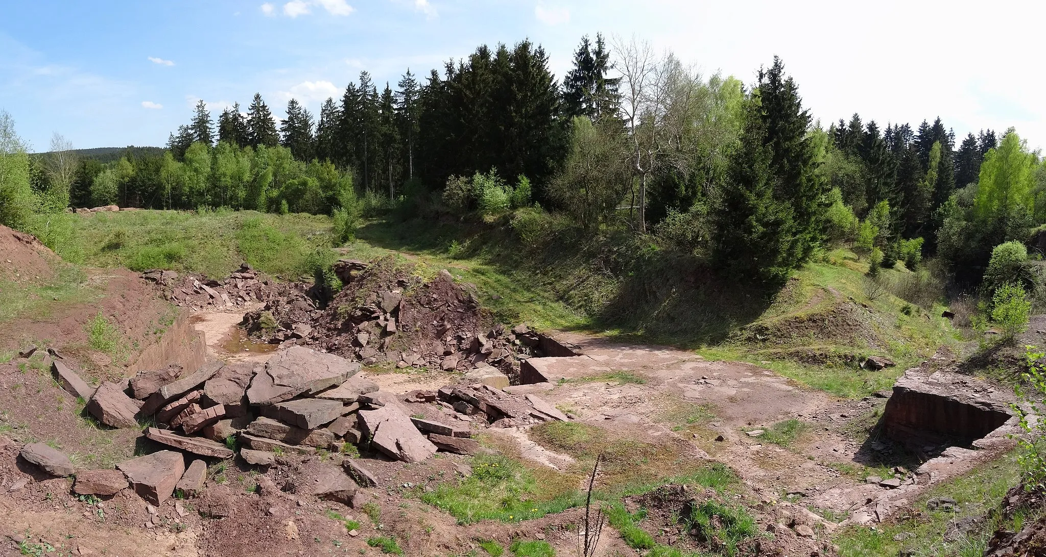
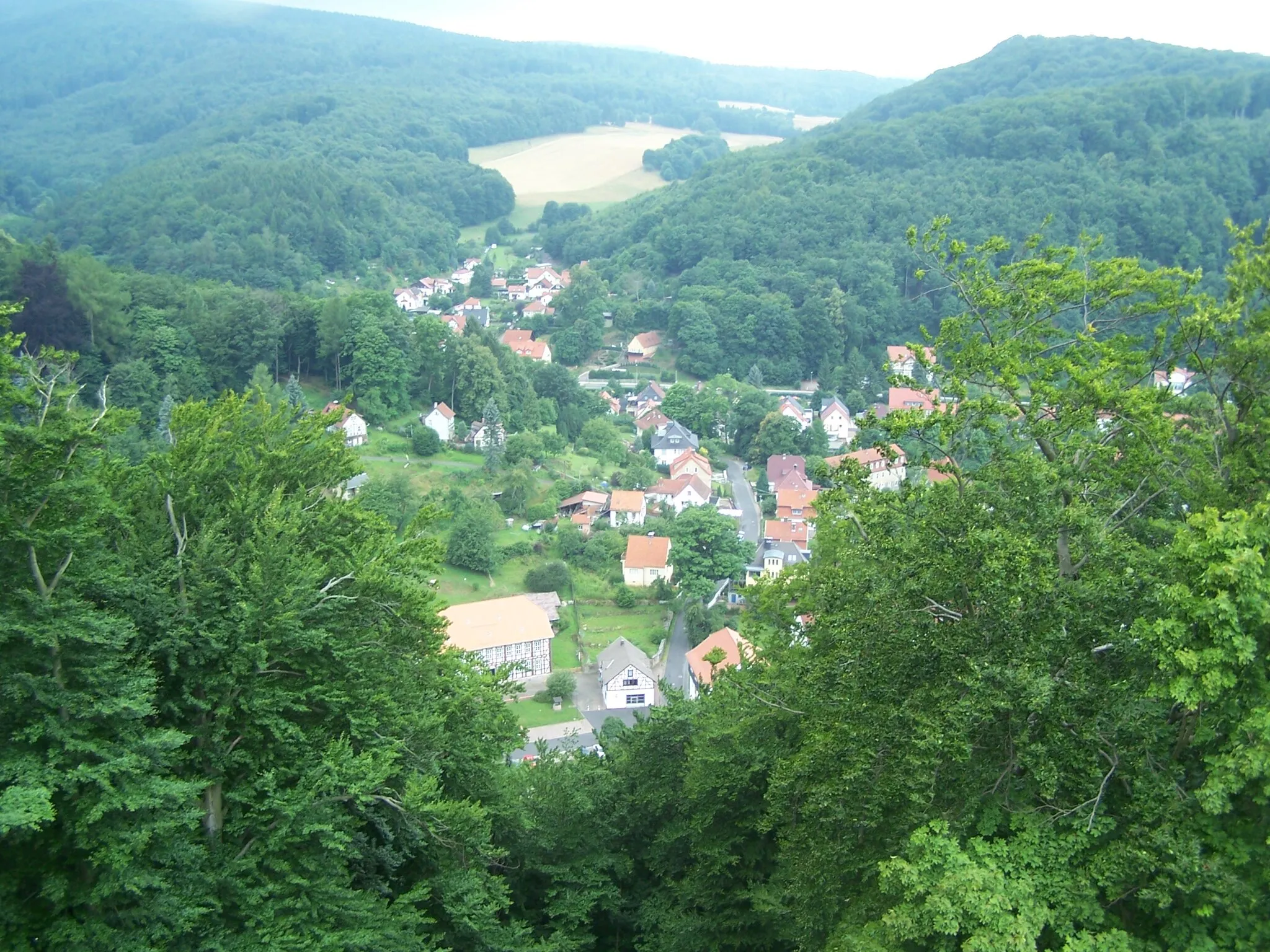
LohmühleVillageAt 17 kilometers, the Lohmühle is a charming old mill that offers a peaceful and scenic break during your ride.
27 km
27 km
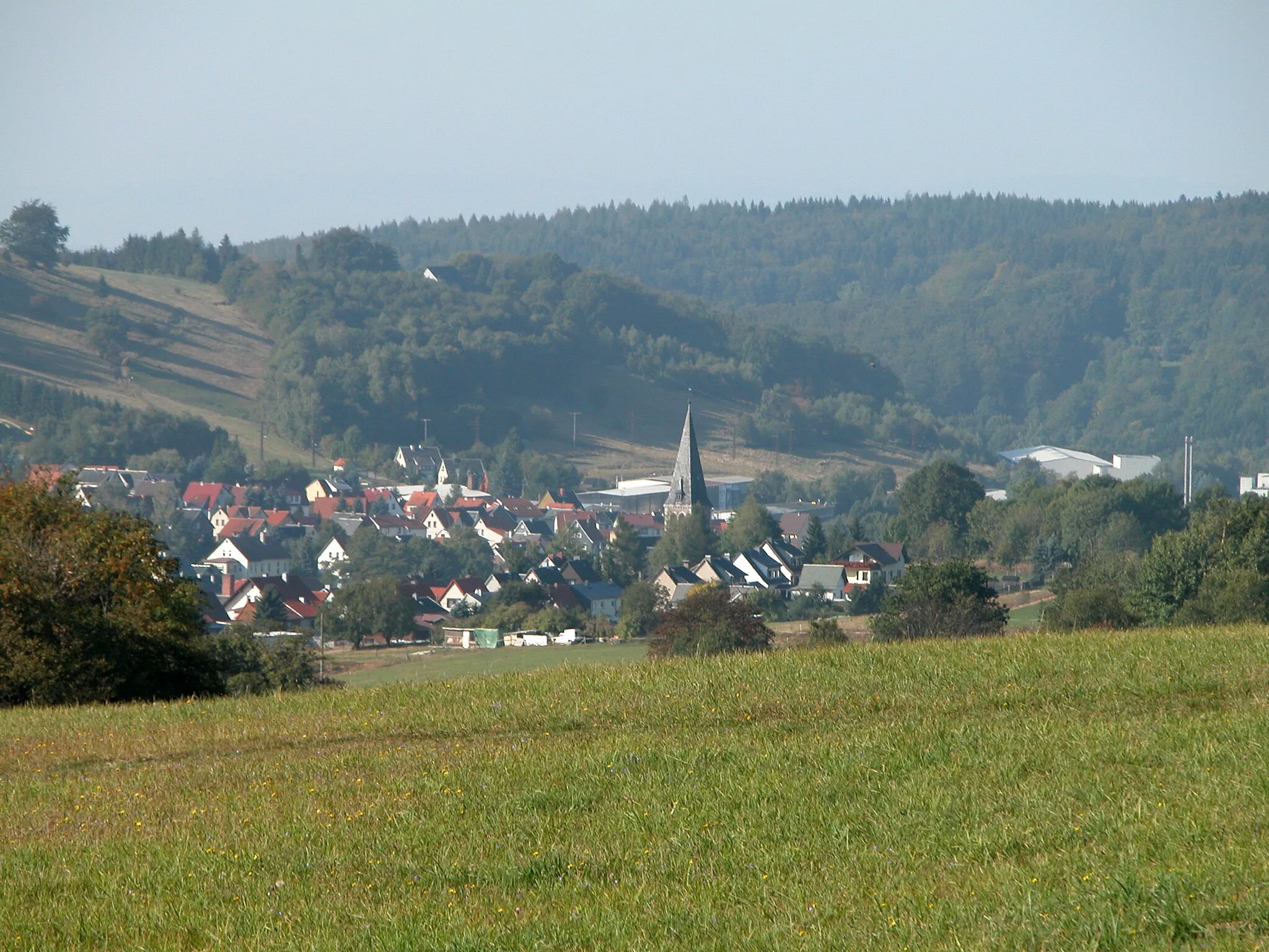
NesselhofHamletNesselhof, at 27 kilometers, is a great spot to refuel and enjoy some local delicacies before continuing your journey through the hills.
35 km
35 km
Hohe Rod558 mPeakHohe Rod, at 35 kilometers, offers panoramic views of the surrounding countryside and is a great place to take a break and admire the scenery.
45 km
45 km
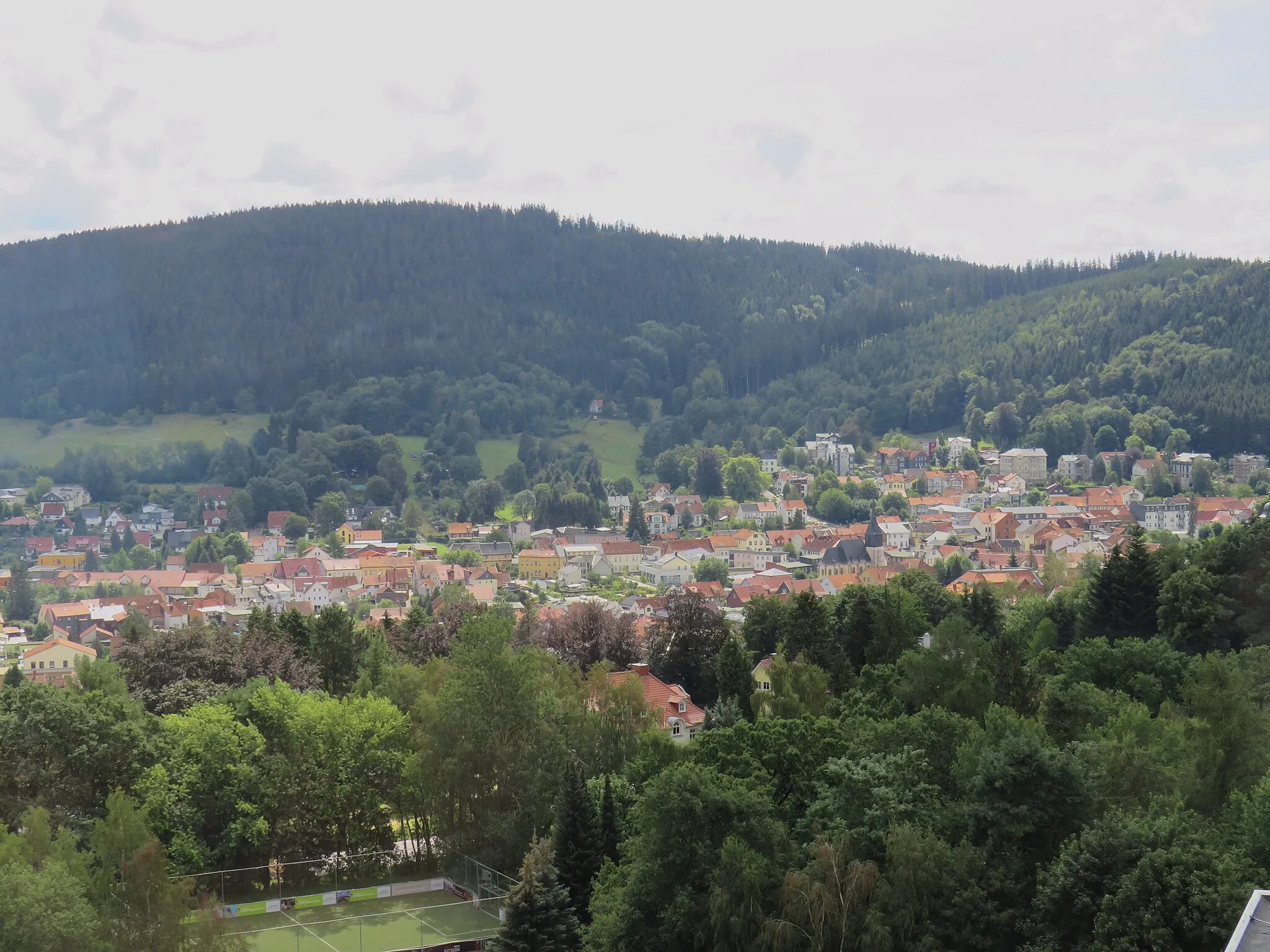
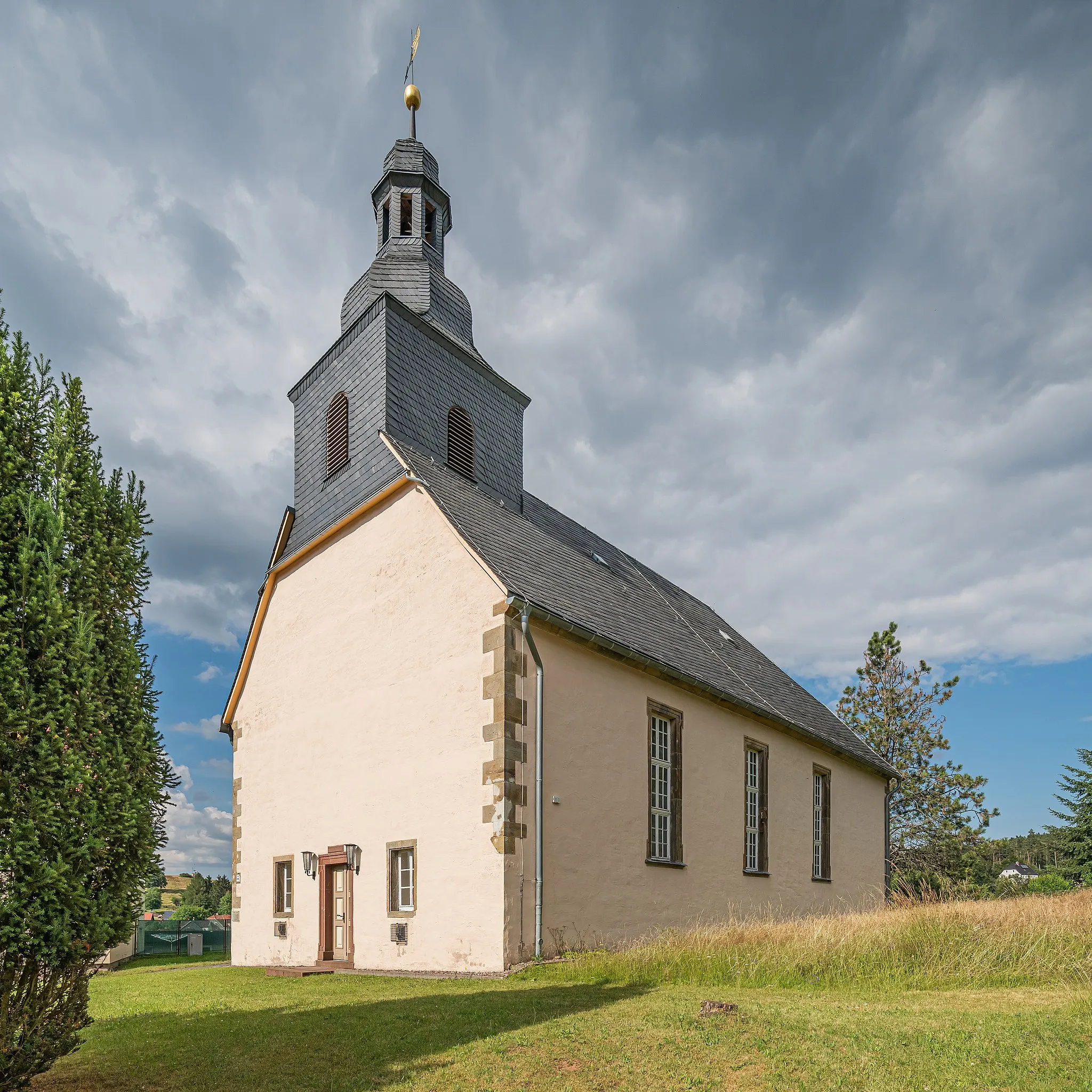
SchnellbachVillageSchnellbach, at 45 kilometers, is a charming village with traditional architecture and a peaceful atmosphere. Take some time to explore and soak in the local culture.
58 km
58 km
Heuberg719 mPeakLocated at 58 kilometers, Heuberg is a famous cycling spot known for its challenging climb and stunning panoramic views from the top.
65 km
65 km
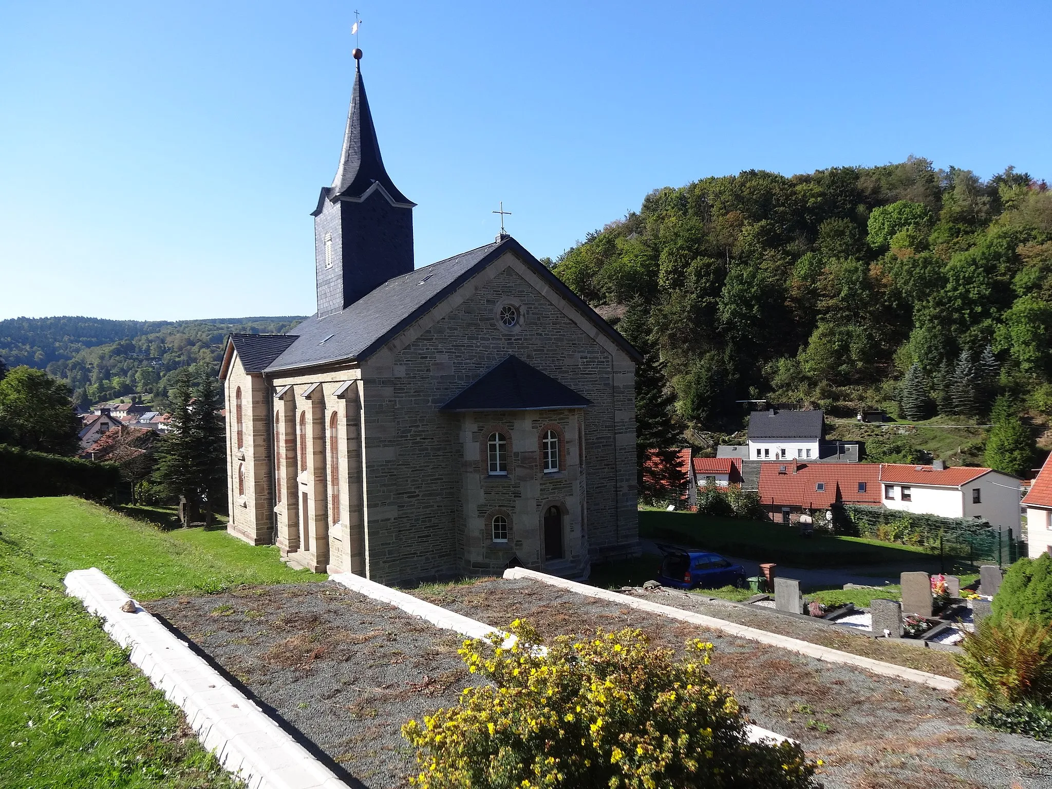
ReinhardsbrunnHamletReinhardsbrunn, at 65 kilometers, is a historic monastery surrounded by beautiful forests. Take a moment to appreciate the tranquility and heritage of this special place.
68 km
68 km
Geizenberg417 mPeakGeizenberg, at 68 kilometers, is a legendary climb that will test your climbing skills. The breathtaking views from the top make it all worth it.
71 km
71 km
Finish: Waltershausen City centerWaltershausen: Conquer the legendary Großer Inselsberg climb and explore the scenic countryside in Waltershausen.
Cycling routes from Waltershausen:
The Scenic Road Trip The Thuringian Hills Road Cycling Challenge The Ultimate Thuringian Adventure The Rural Landscapes Road Cycling Route The Rural Escape The Gravel Explorer The Gravel Adventure through Thuringian Forest The Gravel Challenge The Charming Gravel Tour near Waltershausen The Thuringian Adventure
Cycling routes nearby: