Moselle Discovery
A gravel cycling route starting from Foehren
Experience the charm of Moselle valley on this gravel cycling route
Map
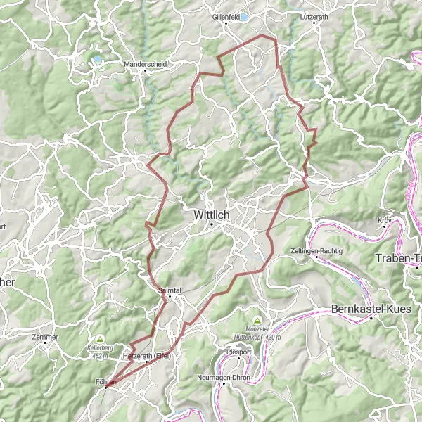
This picturesque route takes you through the beautiful Moselle valley, offering stunning views of vineyards, charming villages, and medieval castles. The gravel roads provide a rewarding challenge for gravel enthusiasts, with a total ascent of 1201 meters in a distance of 90 kilometers. Expect a mix of paved and unpaved sections, allowing you to truly immerse yourself in the natural beauty of the region. The highlights along the way range from the historic village of Föhren, to the breathtaking viewpoint at Auf dem Steinhäufchen. With a difficulty rating of 4 and an epicness rating of 3, this route is perfect for well-trained amateurs looking for a scenic adventure.
gravel
90 km
1201 m
Tough
Route profile
Highlights on the route
0 km
0 km
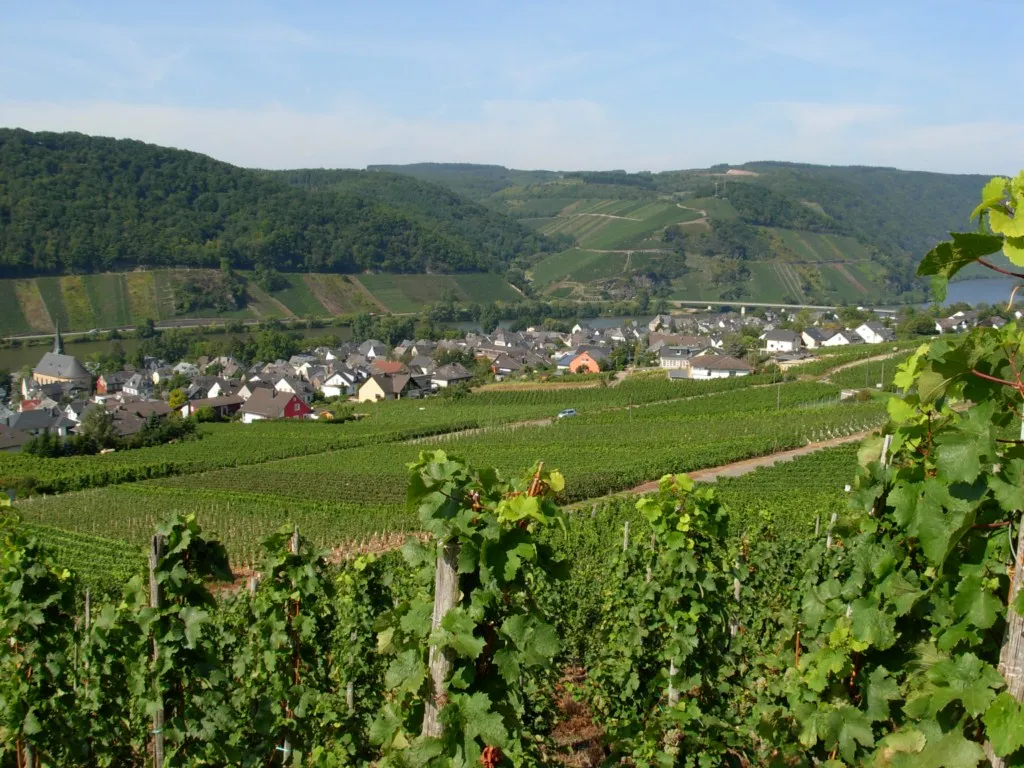
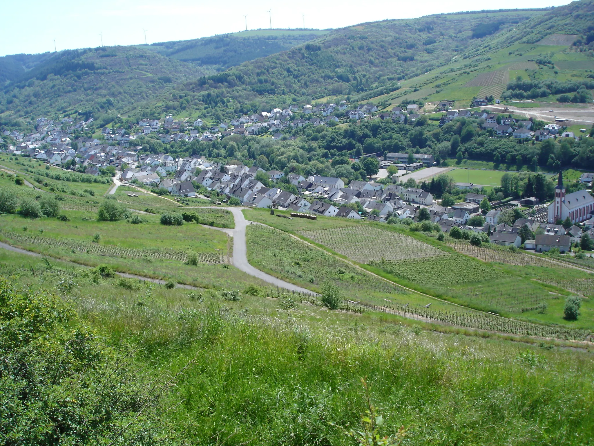
Start: Föhren Village centerFöhren: Vineyards, Panoramas, and Epic Climbs
Föhren, located near the town of Trier in Germany, offers diverse cycling opportunities amidst charming natural landscapes. Cyclists can explore the local roads that meander through vineyards and rolling countryside, providing an enjoyable and scenic ride. Föhren serves as an excellent base for riders looking to experience the legendary climb of Piesport, famous for its challenging incline and breathtaking views over the Mosel River. With its tranquil surroundings and proximity to renowned cycling spots, Föhren is a desirable destination for road and gravel cyclists seeking thrilling adventures and beautiful vistas.0 km
0 km
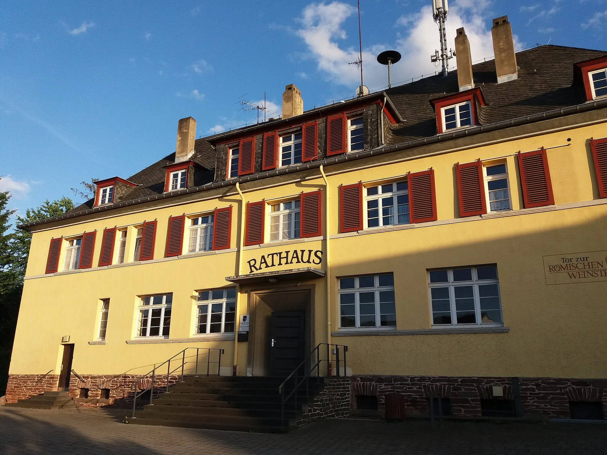
FöhrenVillageFöhren, the starting point of the route, is a charming village famous for its traditional half-timbered houses and historical sites.
5 km
5 km
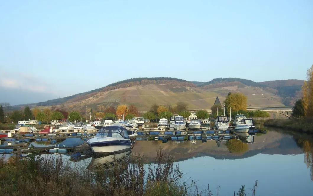
Weischenberg361 mPeakWeischenberg offers panoramic views of the surrounding vineyards and the Moselle River, making it an ideal spot for a break and some photos.
13 km
13 km
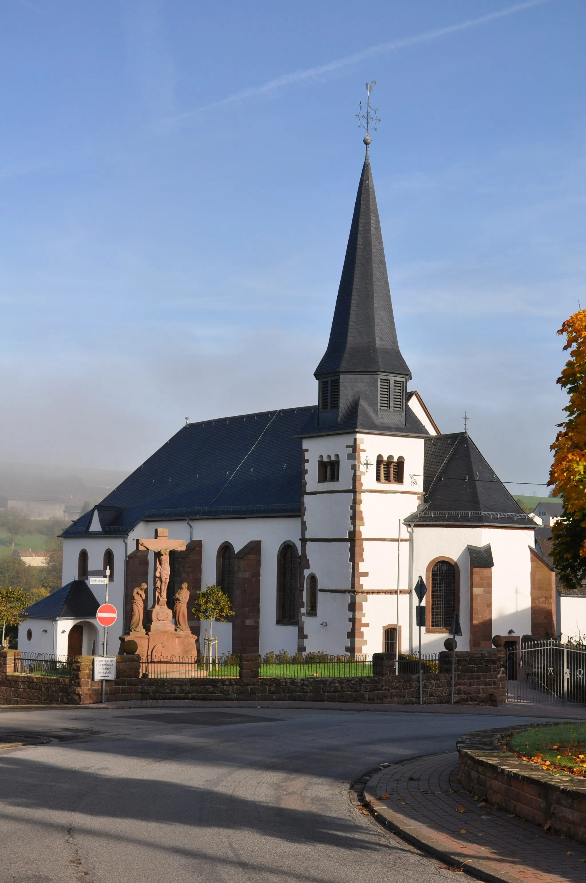
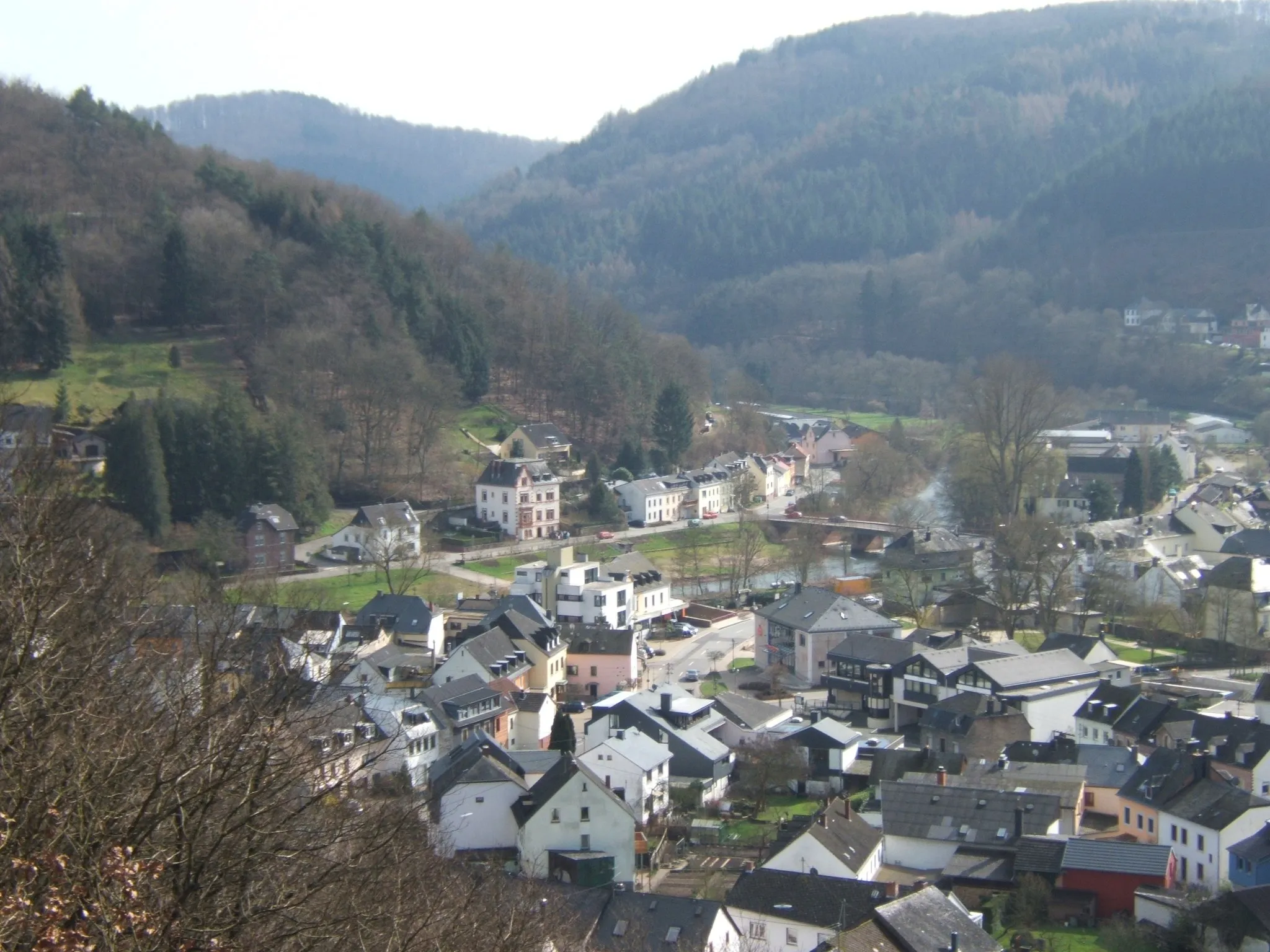
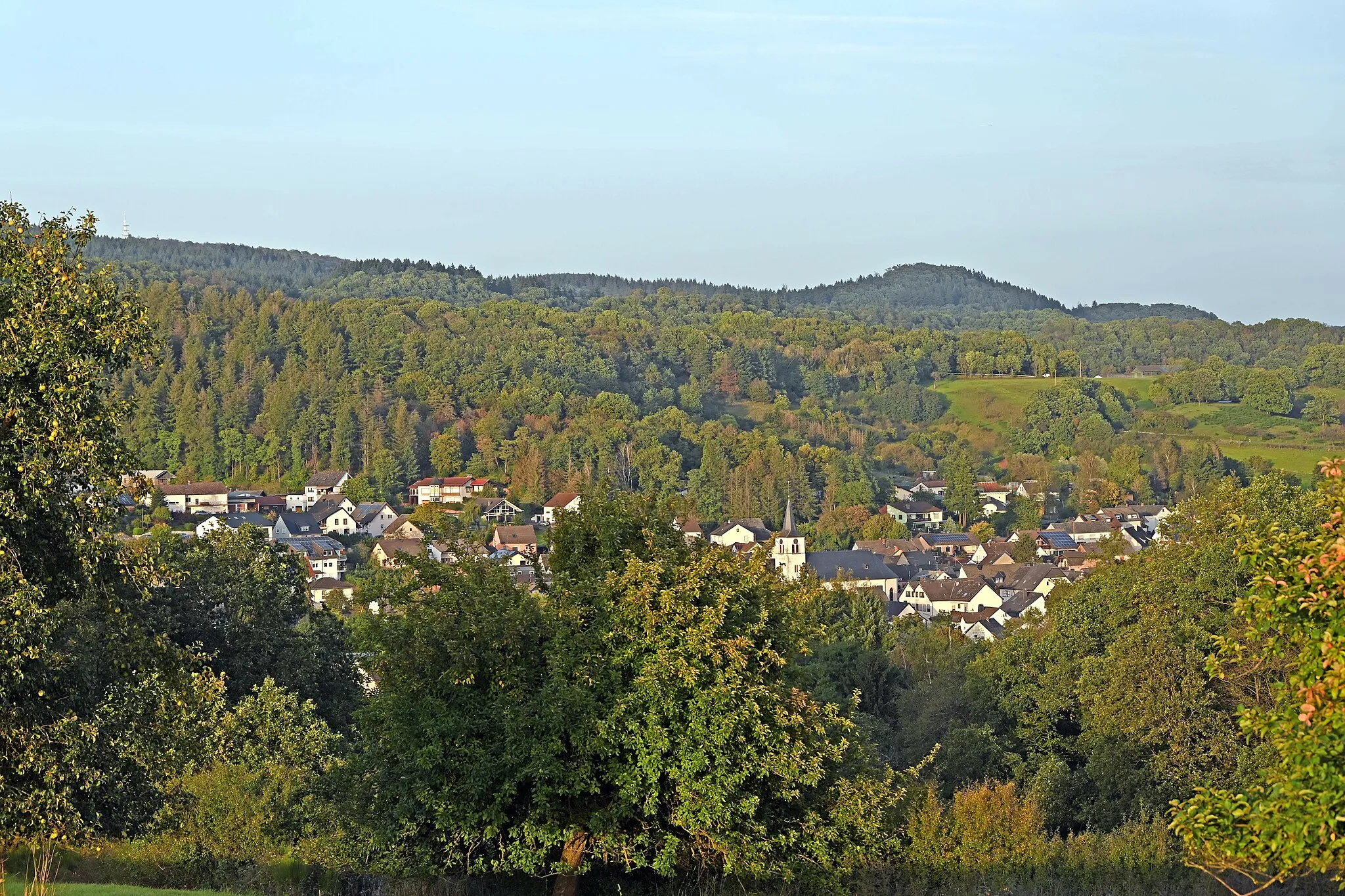
DreisVillageDreis is known for its picturesque location and the ruins of Burgwaren, a medieval castle that provides a glimpse into the region's history.
37 km
37 km
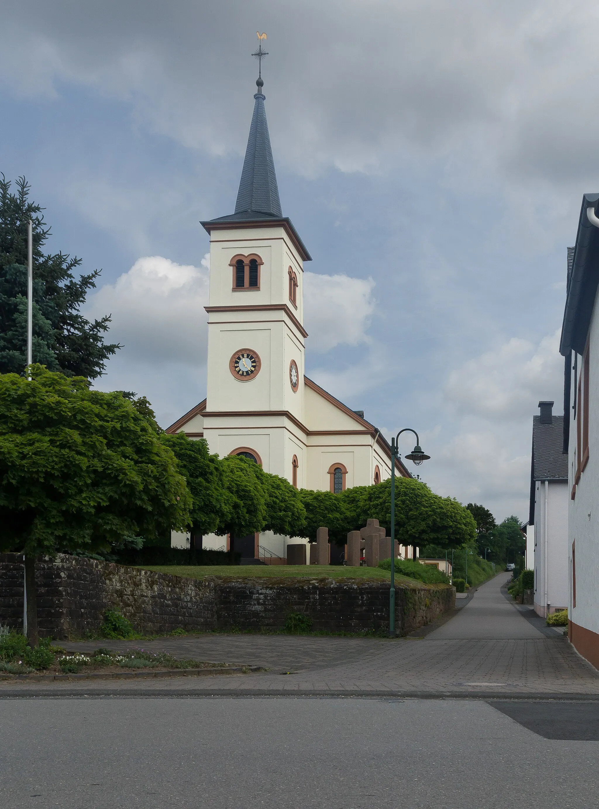
DierfeldHamletDierfeld is a small village with a rich agricultural heritage, surrounded by rolling hills and fertile farmland.
61 km
61 km
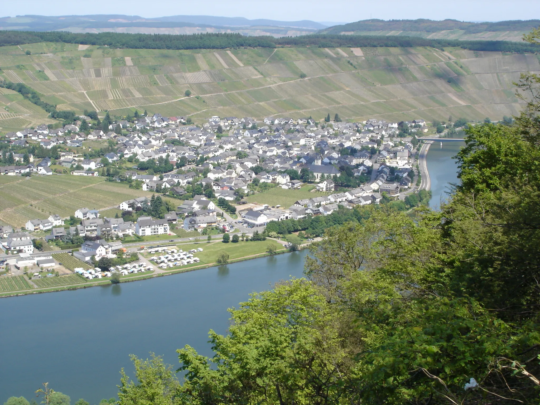
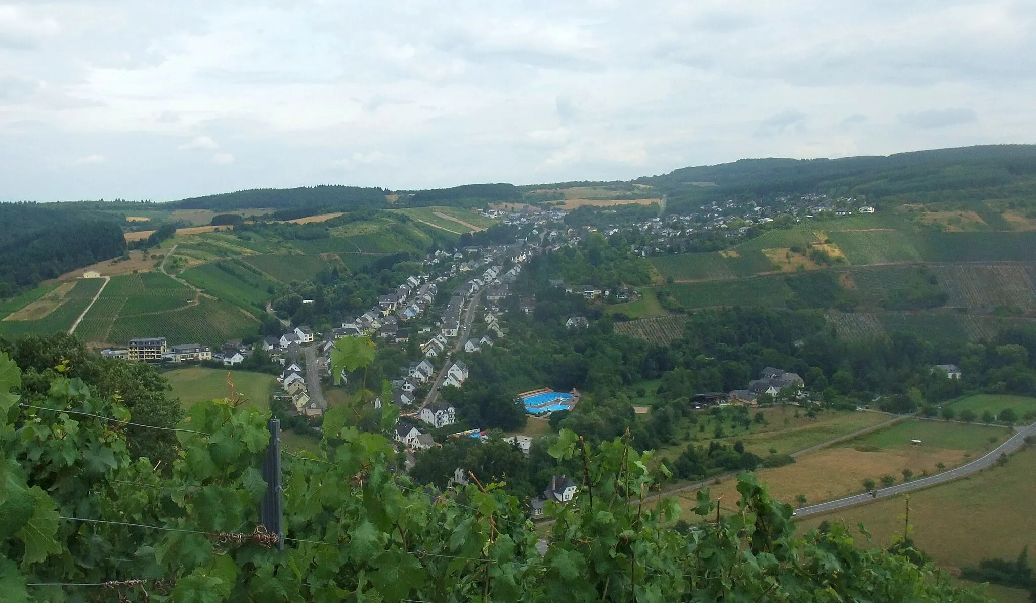
BausendorfVillageBausendorf is a quaint village known for its traditional architecture and a popular destination for hiking and cycling enthusiasts.
82 km
82 km
EschVillageEsch is home to the Esch lookout tower, offering panoramic views over the Moselle valley and the picturesque landscape below.
90 km
90 km
Auf dem Steinhäufchen226 mPeakAuf dem Steinhäufchen is a scenic viewpoint that overlooks the Moselle River and provides a peaceful spot for a rest before continuing your ride.
90 km
90 km
Finish: Föhren Village centerFöhren: Vineyards, Panoramas, and Epic Climbs
Cycling routes from Foehren:
The Gravel Adventure The Road Adventure The Gravel Expedition The Wild Gravel Ride Treasure Hunt in the Eifel Föhren and Beyond Gravel Adventure Moselle and More Gravel Adventure in the Beautiful Mosel Valley Scenic Ride through the Countryside Moselle Discovery Hidden Gems of Trier Hills and Valleys Countryside Adventure
Cycling routes nearby: