Hidden Gravel Gems: A Cycle Through Irsch
A gravel cycling route starting from Irsch
Discover hidden gems in an 83-kilometer gravel adventure
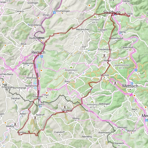
Map
Uncover hidden gems on this 83-kilometer gravel adventure around Irsch, Trier. With an elevation gain of 1,257 meters, this picturesque route takes you through enchanting landscapes and unique sights. From the stunning Eiderberg to the mesmerizing Baumwipfelpfad Saarschleife, each highlight offers a memorable experience. Immerse yourself in the tranquility of Kirsch-lès-Sierck, explore the mystical Stromberg, and enjoy the serene Contz-les-Bains. Finish your journey in Irsch, where you can bask in the beauty of the Irsch region.
gravel
83 km
1257 m
Tough
Route profile
Highlights on the route
0 km
0 km
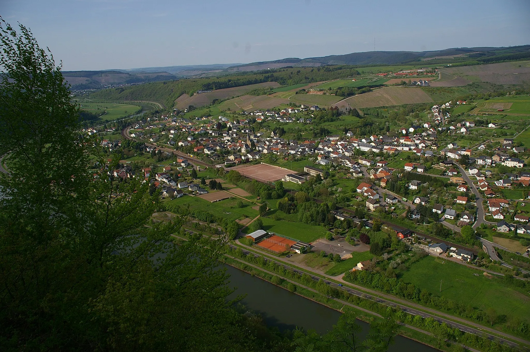
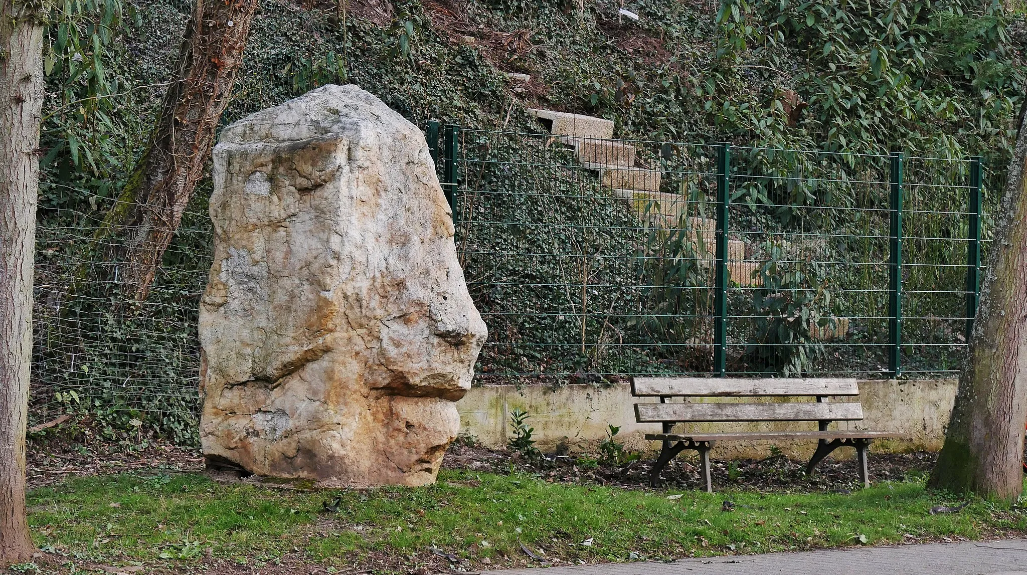
Start: Irsch Village centerIrsch: Cycling bliss in Irsch: Discovering the beauty of Trier's countryside.
Irsch is a locality in Trier region of Germany, offering a great cycling experience for road and gravel cyclists. The area features a combination of challenging climbs and breathtaking scenery, making it a beloved destination for cyclists. Cyclists can enjoy riding along picturesque vineyards, exploring the quiet country roads that wind through the region. One notable cycling spot in the vicinity is the Mosel River, famous for its stunning views and renowned cycling routes. Given its cycling-friendly terrain and natural beauty, Irsch receives a rank of 4 as a great location for cycling enthusiasts.11 km
11 km
Eiderberg439 mPeakEmbark on an adventurous climb at Eiderberg, located at the 11-kilometer mark. This scenic spot offers stunning views of the surrounding nature.
17 km
17 km
Baumwipfelpfad SaarschleifeAttractionTake a detour to Baumwipfelpfad Saarschleife at the 17-kilometer mark and discover one of the longest treetop walkways in Germany. Immerse yourself in nature and enjoy breathtaking views of the Saar River.
32 km
32 km
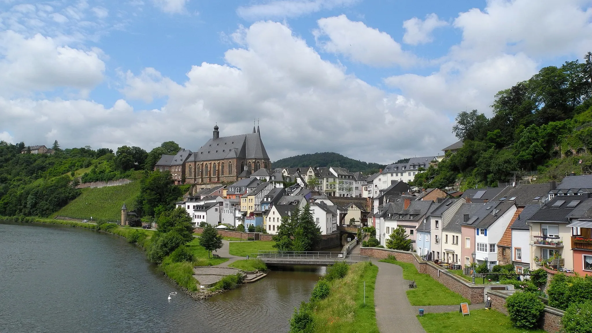
Kirsch-lès-SierckVillageKirsch-lès-Sierck, situated at the 32-kilometer mark, is a charming village with picturesque streets and beautiful views of the Moselle River.
48 km
48 km
Stromberg312 mPeak ViewpointIndulge in the beauty of the mystical Stromberg at the 48-kilometer mark. This enchanting forest invites you to explore its serene landscapes and hidden paths.
48 km
48 km
Contz-les-BainsVillageContz-les-Bains welcomes you with its natural thermal springs and idyllic atmosphere at the 48-kilometer mark. Take a moment to unwind and enjoy the healing properties of the springs.
60 km
60 km
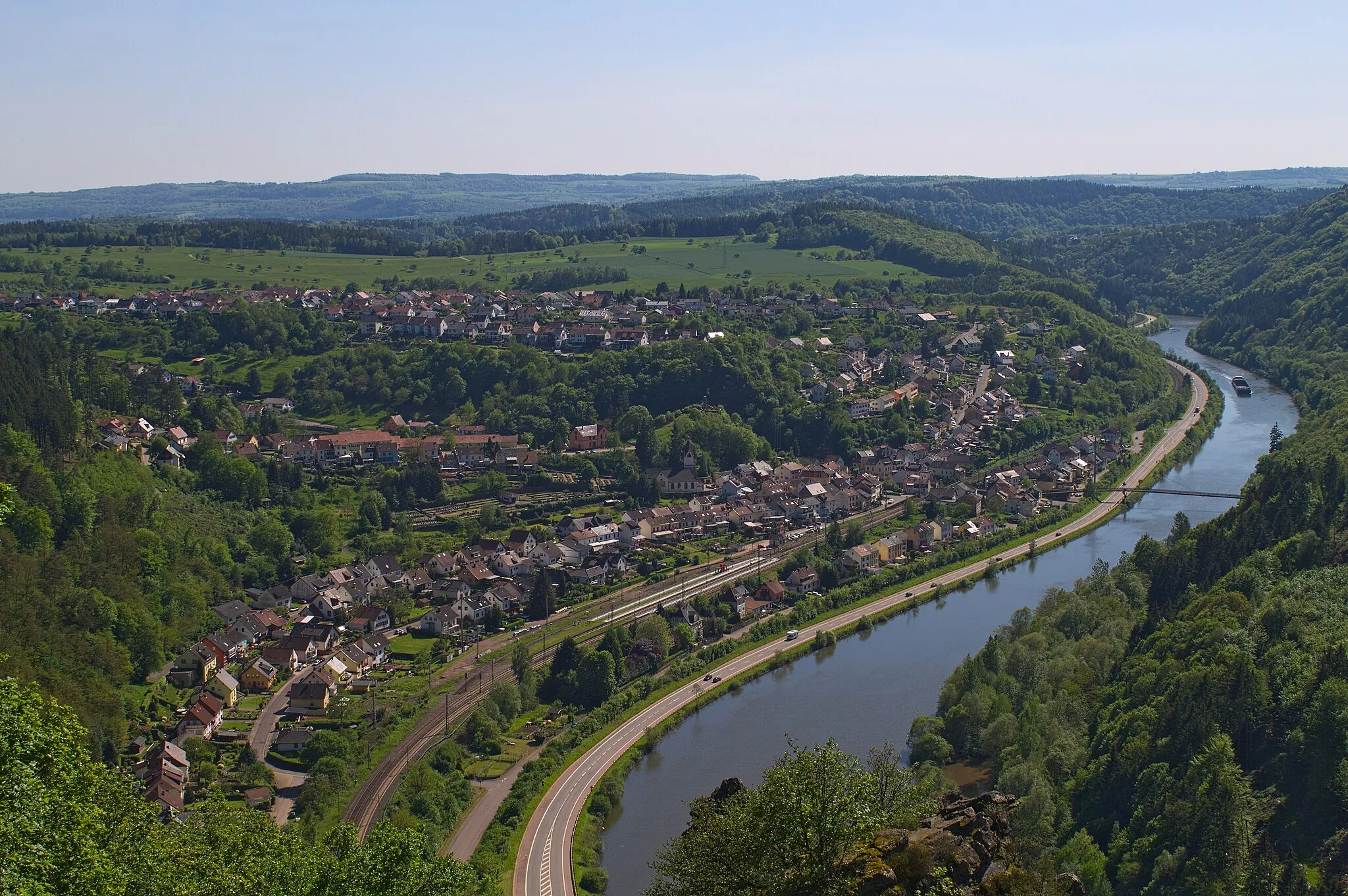
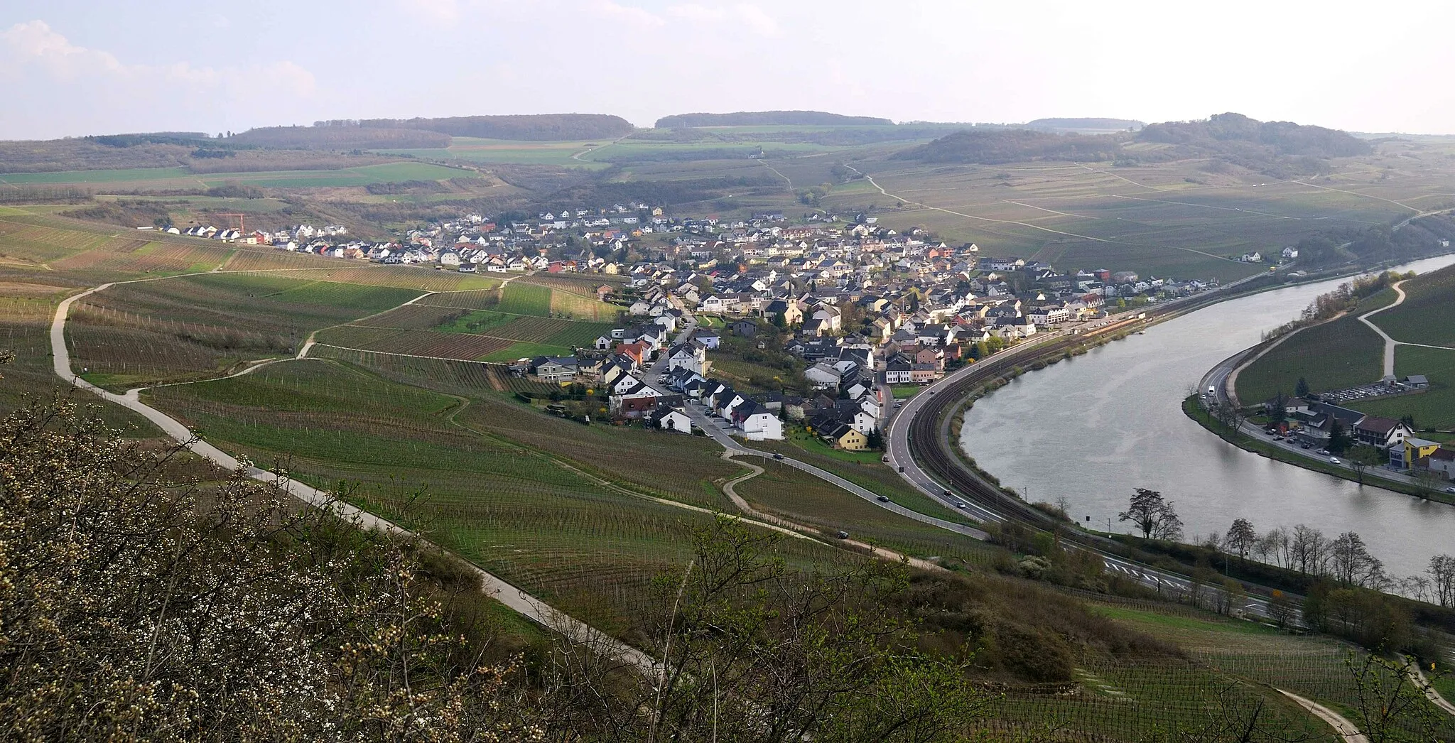
RemichTownVenture into Luxembourg and discover the charming town of Remich, located at the 60-kilometer mark. Explore the quaint streets, indulge in local delicacies, and soak up the beauty of the Moselle River.
71 km
71 km
Ihlknöpfchen396 mPeakAt the 71-kilometer mark, Ihlknöpfchen offers a scenic viewpoint with panoramic views of the Saar River and its surroundings.
83 km
83 km
IrschVillageComplete your adventure in Irsch, where you can enjoy the peaceful village atmosphere and reminisce about the unique gravel gems discovered along the way.
83 km
83 km
Finish: Irsch Village centerIrsch: Cycling bliss in Irsch: Discovering the beauty of Trier's countryside.
Cycling routes from Irsch:
Irsch Gravel Adventure Scenic Route to Tawern The Ultimate Road Cycling Challenge Around the Valleys The Ultimate Cycling Challenge Idylls and Heritage: Gelawej Brigade epitome bouncefahren cumsolvitur The Hill Country Loop The Gravel Adventure The Moselle River Ride The Nature Escape Around Irsch: The Gravel Adventure The Great Trier Road Cycling Challenge Hidden Gravel Gems: A Cycle Through Irsch
Cycling routes nearby: