The Ultimate Cycling Challenge
A road cycling route starting from Irsch
Embark on the ultimate cycling challenge on this 147 km road route with a total ascent of 2327 meters
Map

This 147 km road route is not for the faint-hearted. With a total ascent of 2327 meters, it will test even the most experienced cyclists. Highlights of this challenging route include Hosteberg, Fisch, Gebranntebierg, Olingen, Nellend, Ermsdorf, Heidenkopf, Geichlingen, Holsthum, Apelberg, Mohrenkopf, Trierweiler, Konz, and Bismarckturm Schoden. Prepare for epic climbs, breathtaking descents, and incredible views of the countryside.
road
147 km
2327 m
Savage
Route profile
Highlights on the route
0 km
0 km
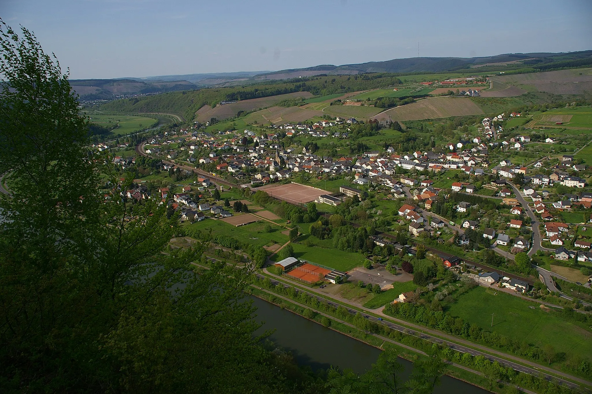
Start: Irsch Village centerIrsch: Cycling bliss in Irsch: Discovering the beauty of Trier's countryside.
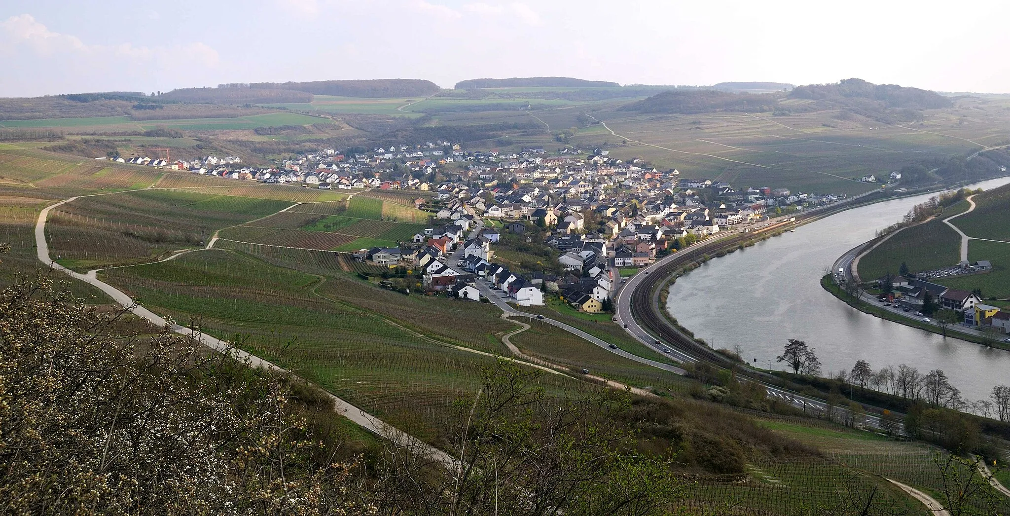
Irsch is a locality in Trier region of Germany, offering a great cycling experience for road and gravel cyclists. The area features a combination of challenging climbs and breathtaking scenery, making it a beloved destination for cyclists. Cyclists can enjoy riding along picturesque vineyards, exploring the quiet country roads that wind through the region. One notable cycling spot in the vicinity is the Mosel River, famous for its stunning views and renowned cycling routes. Given its cycling-friendly terrain and natural beauty, Irsch receives a rank of 4 as a great location for cycling enthusiasts.9 km
9 km
Hosteberg435 mViewpointHosteberg offers stunning views of the surrounding valleys and charming villages
11 km
11 km
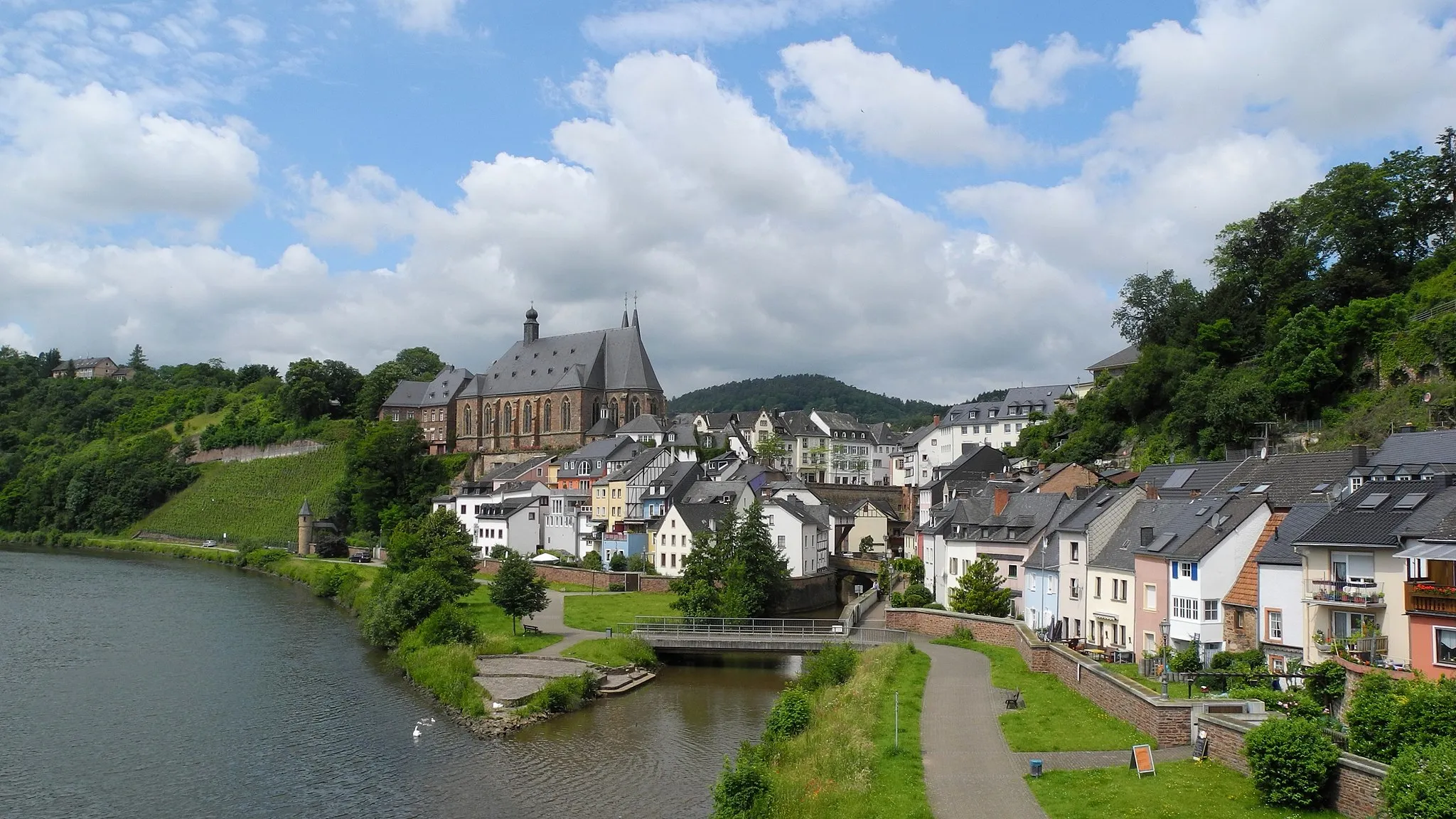
FischVillageFisch is a scenic village located along the banks of the Moselle River, offering beautiful views and cultural attractions
24 km
24 km
Gebranntebierg305 mPeakGebranntebierg is a popular spot for cyclists, with challenging climbs and panoramic views of the countryside
32 km
32 km
OlingenVillageOlingen is a small village known for its picturesque surroundings and idyllic lake
55 km
55 km
Nellend395 mPeakNellend offers breathtaking views of the rolling hills and vineyards of the region
56 km
56 km
ErmsdorfVillageErmsdorf is a charming village with traditional architecture and scenic landscapes
71 km
71 km
Heidenkopf278 mPeakHeidenkopf is a famous cycling spot with challenging ascents and thrilling descents
78 km
78 km
GeichlingenVillageGeichlingen is a quaint village with beautiful landscapes and traditional charm
96 km
96 km
HolsthumVillageHolsthum is a small village surrounded by lush forests and rolling hills
103 km
103 km
Apelberg269 mPeakApelberg offers panoramic views of the surrounding valleys and charming villages
120 km
120 km
Mohrenkopf347 mPeakMohrenkopf is a legendary climb known for its challenging ascent and stunning views at the top
121 km
121 km
TrierweilerVillageTrierweiler is a historic town with a rich cultural heritage, offering architectural gems and delightful cafes
133 km
133 km
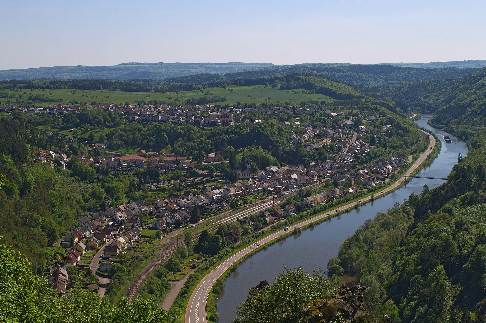
KonzTownKonz is known for its beautiful location at the confluence of the Moselle and Saar Rivers
141 km
141 km
Bismarckturm SchodenViewpointBismarckturm Schoden is a historic tower offering panoramic views of the Saar River and surrounding countryside
147 km
147 km
Finish: Irsch Village centerIrsch: Cycling bliss in Irsch: Discovering the beauty of Trier's countryside.
Cycling routes from Irsch:
Irsch Gravel Adventure Scenic Route to Tawern The Ultimate Road Cycling Challenge Around the Valleys The Ultimate Cycling Challenge Idylls and Heritage: Gelawej Brigade epitome bouncefahren cumsolvitur The Hill Country Loop The Gravel Adventure The Moselle River Ride The Nature Escape Around Irsch: The Gravel Adventure The Great Trier Road Cycling Challenge Hidden Gravel Gems: A Cycle Through Irsch
Cycling routes nearby: