Ringelkopf Loop
A gravel cycling route starting from Kell
Enjoy a gravel ride with a climb to Ringelkopf
Map
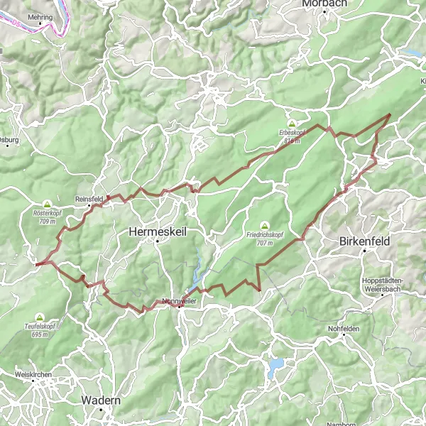
Embark on an exciting gravel adventure with the Ringelkopf Loop. This 81 km route offers diverse terrain and a challenging ascent to Ringelkopf, providing breathtaking views along the way. The route showcases the natural beauty of the region, passing through picturesque villages and scenic landscapes. With a moderate difficulty level, this route is suitable for experienced cyclists looking for a thrilling off-road experience.
gravel
81 km
1557 m
Tough
Route profile
Highlights on the route
0 km
0 km
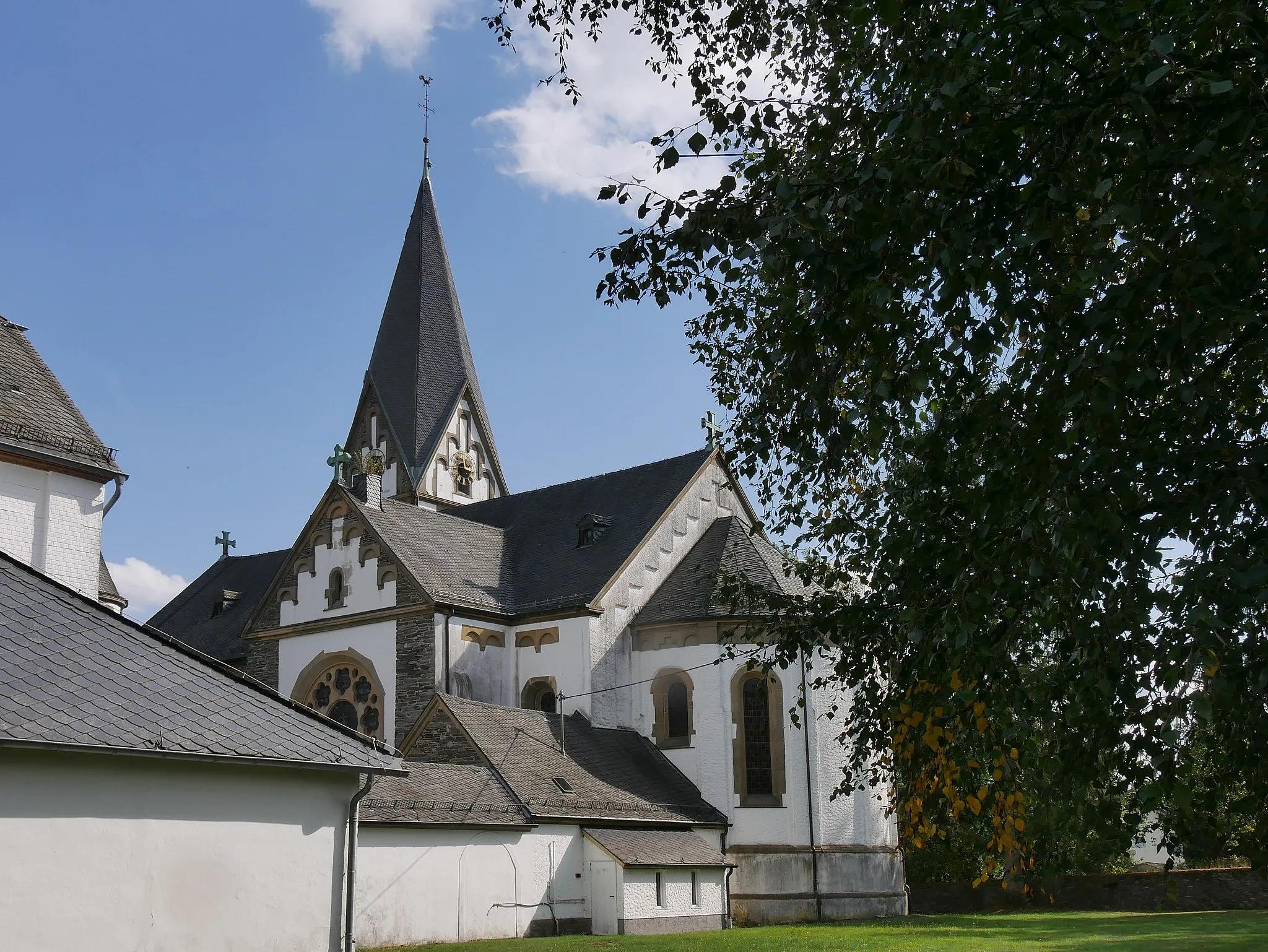
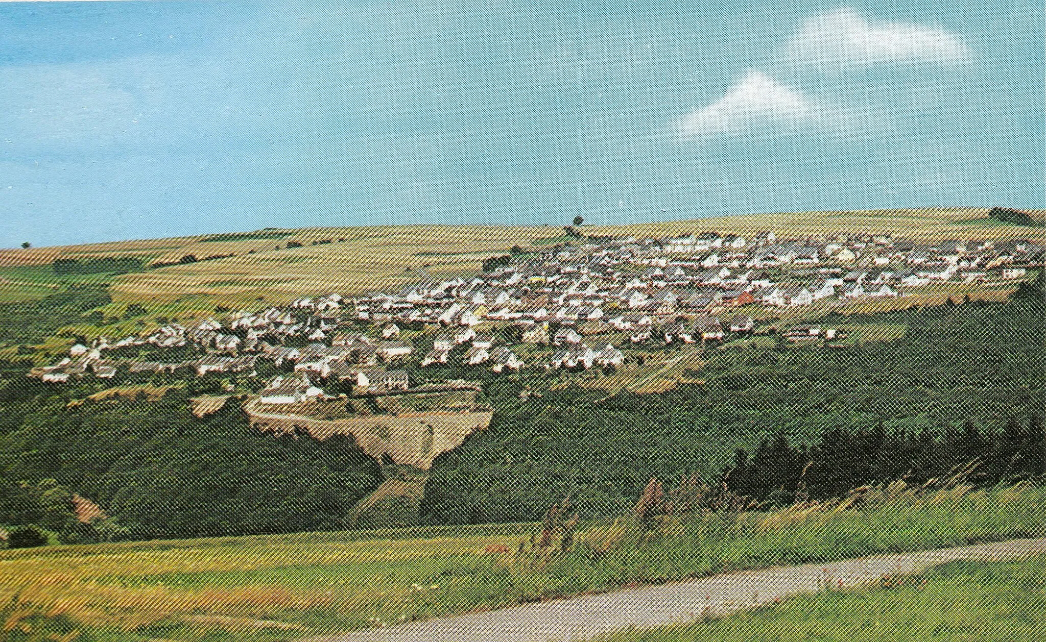
Start: Kell am See Village centerKell: Cycling Paradise in Trier, Germany
Kell, located in Trier, Germany, offers a variety of cycling opportunities for road and gravel cyclists. With its picturesque countryside, smooth roads, and rolling hills, Kell is an ideal destination for cyclists looking to explore the beauty of the region. The locality is home to several well-known cycling routes, including the Mosel Valley Cycle Path and the Saar-Hunsrück-Steig Trail. Additionally, Kell is in close proximity to the famous climbs of the Eifel region, such as the Nürburgring and the Schleidener Atzenberg.32 km
32 km
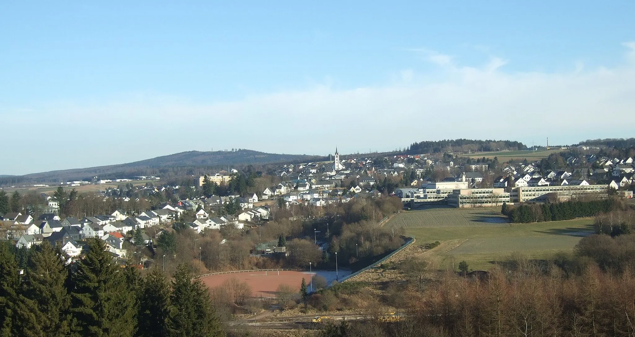
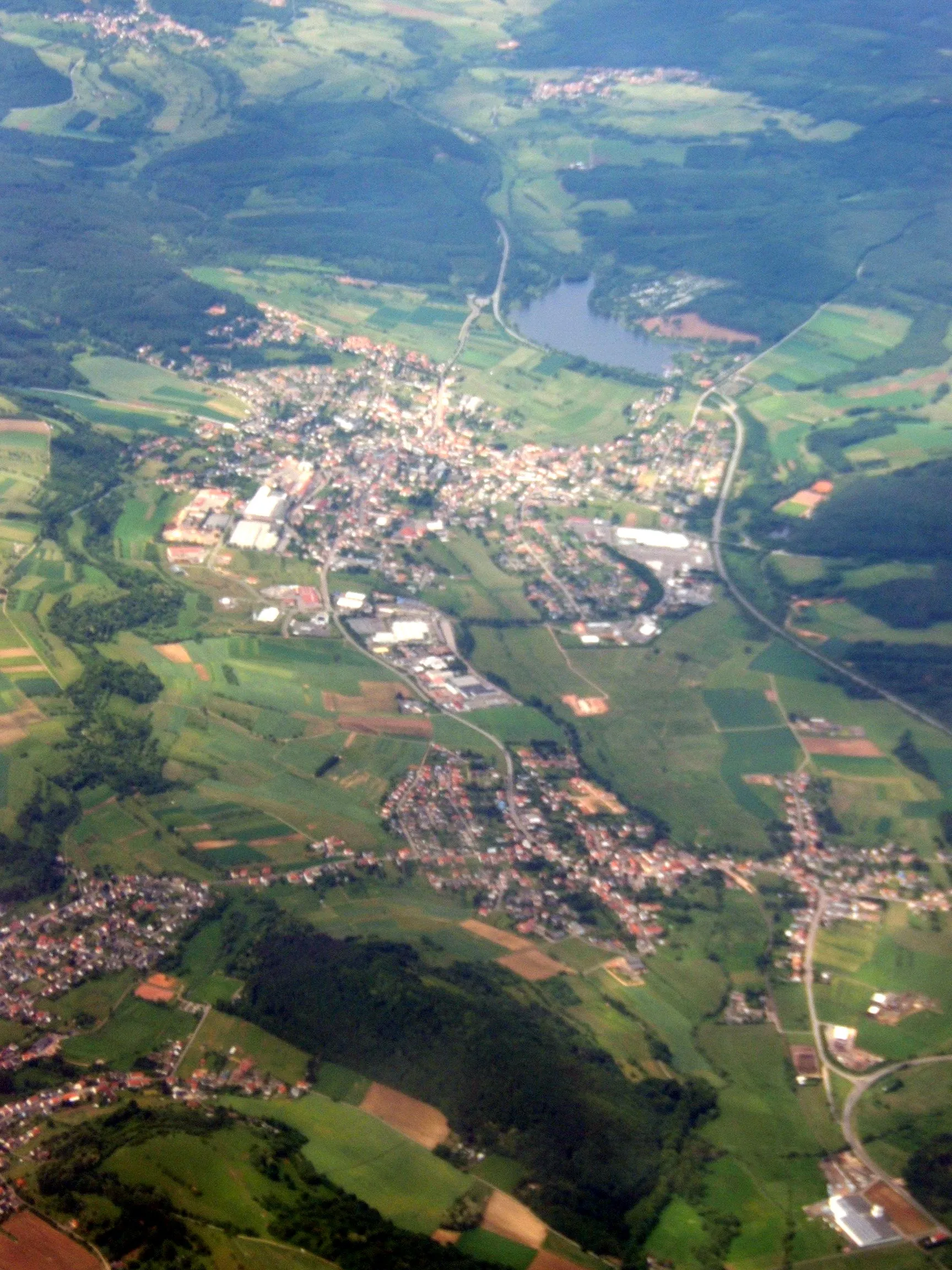
Ringelkopf712 mPeakLocated at 32 km along the route, Ringelkopf offers stunning panoramic views of the surrounding countryside.
46 km
46 km
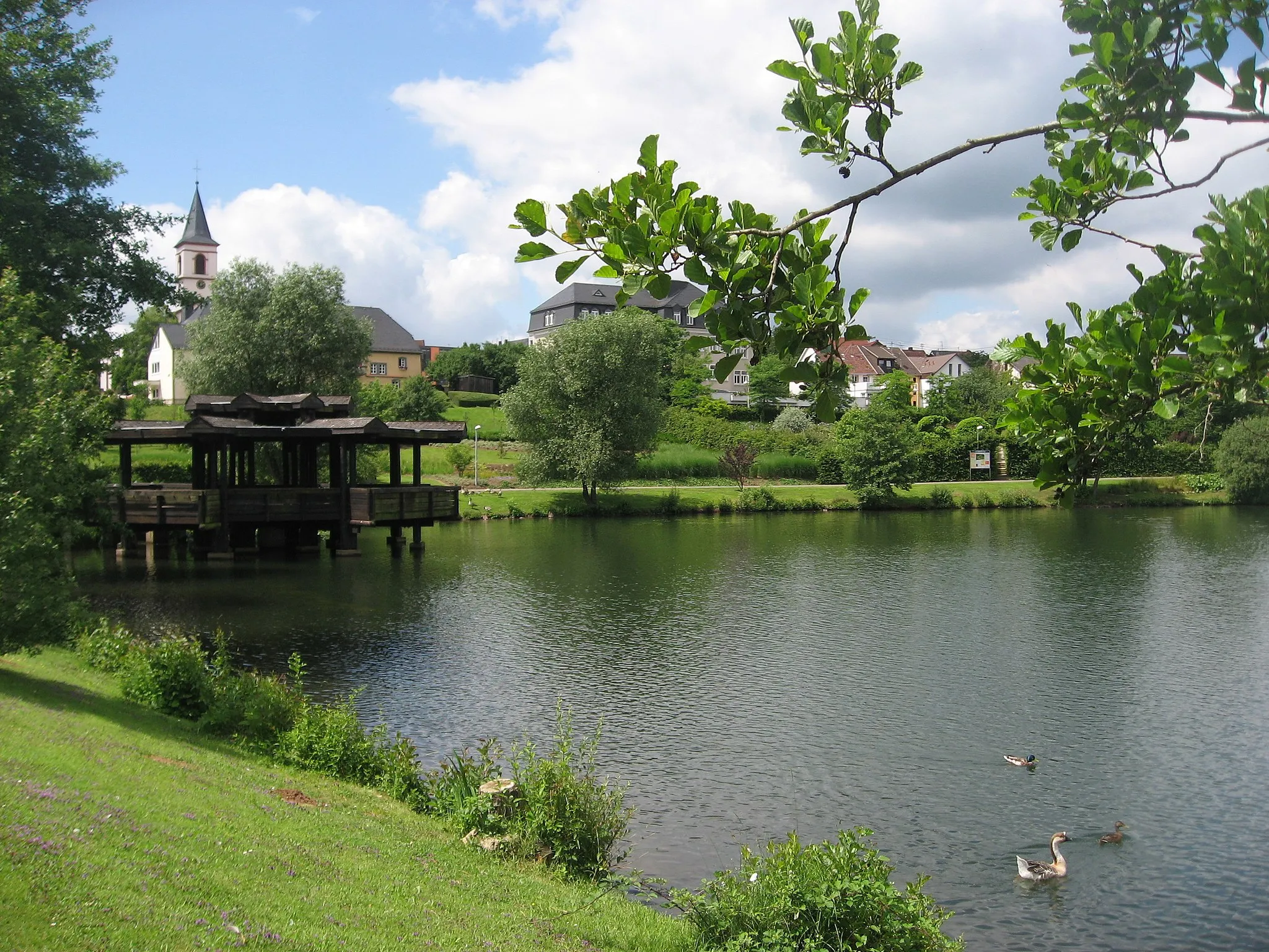
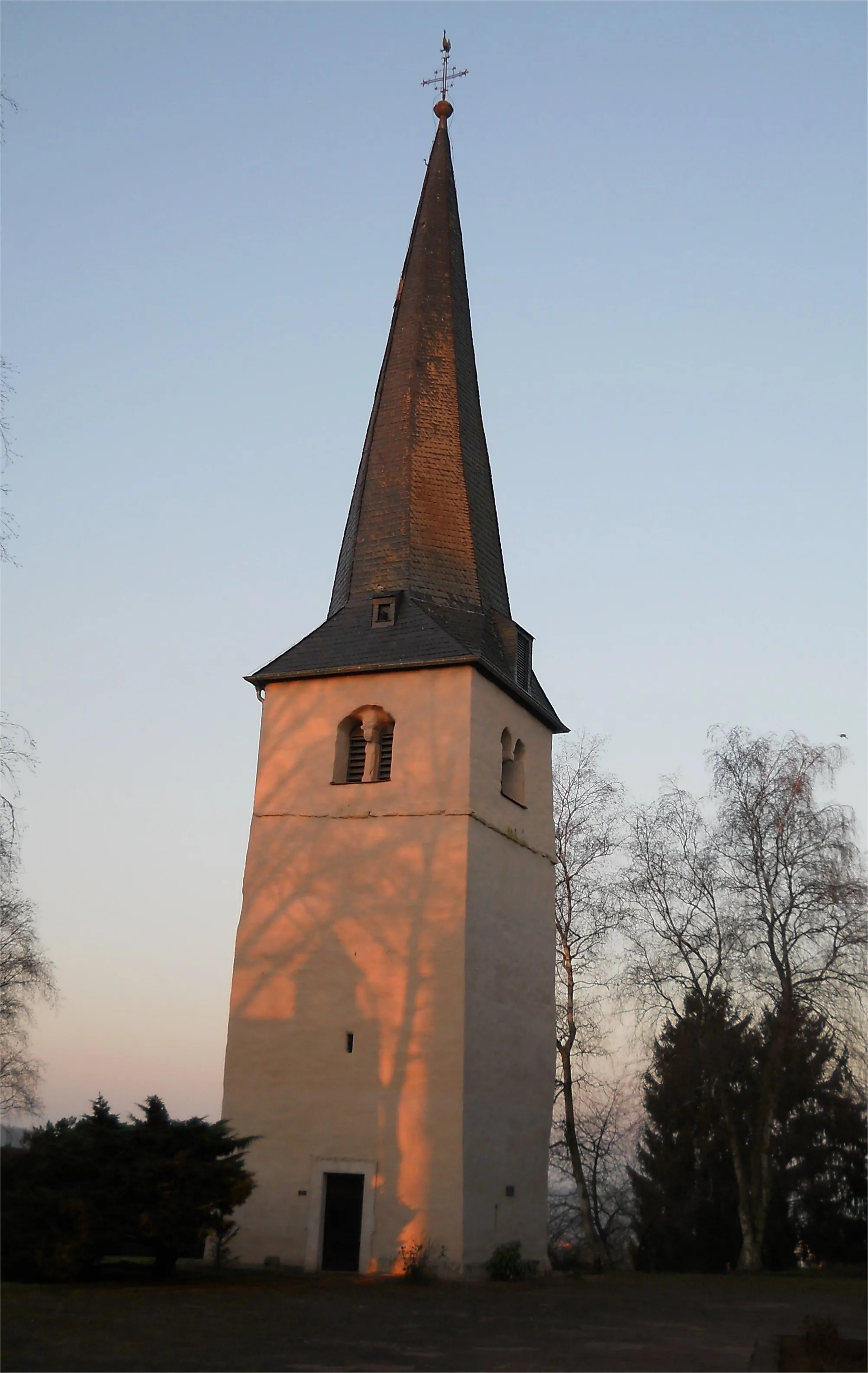
RinzenbergVillageAt 46 km, Rinzenberg provides a serene setting and great resting spot where you can take in the beautiful scenery.
63 km
63 km
Kahlenberg564 mPeakKahlenberg, located at 63 km, offers a challenging climb rewarded by mesmerizing views of the Trier region.
67 km
67 km
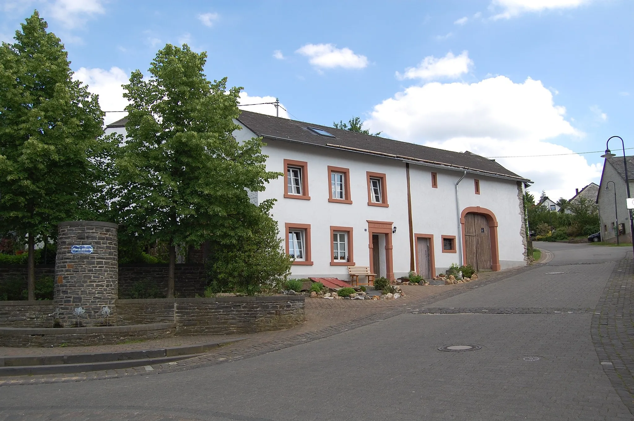
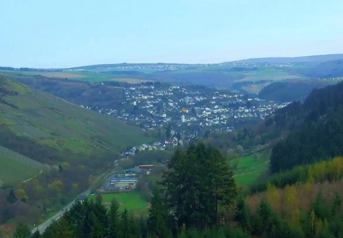
BierfeldSub-urbBierfeld, at 67 km, presents a quaint village worth exploring, with its unique architecture and picturesque streets.
75 km
75 km
Hasenknopf497 mPeakReach the summit of Hasenknopf at 75 km for breathtaking views and a sense of accomplishment.
81 km
81 km
Finish: Kell am See Village centerKell: Cycling Paradise in Trier, Germany
Cycling routes nearby: