Kell am See Loop
A road cycling route starting from Kell
Scenic road cycling route starting from Kell am See
Map
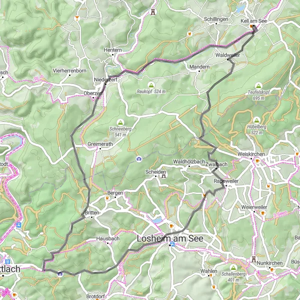
The Kell am See Loop is a picturesque road cycling route that starts from the charming town of Kell am See. With a total distance of 57 kilometers and an elevation gain of 751 meters, this route offers a moderate challenge for cyclists. Throughout the ride, you'll encounter several highlights, such as Mitlosheim at 16 kilometers, Biereiche at 29 kilometers, Peterkopf at 32 kilometers, Judenkopf at 38 kilometers, and the stunning 7-Köpfe-Blick viewpoint at 53 kilometers. These highlights provide scenic views and interesting landmarks along the way. Overall, the Kell am See Loop offers a good mix of natural beauty and cultural attractions, making it a delightful cycling experience.
road
57 km
751 m
Tough
Route profile
Highlights on the route
0 km
0 km
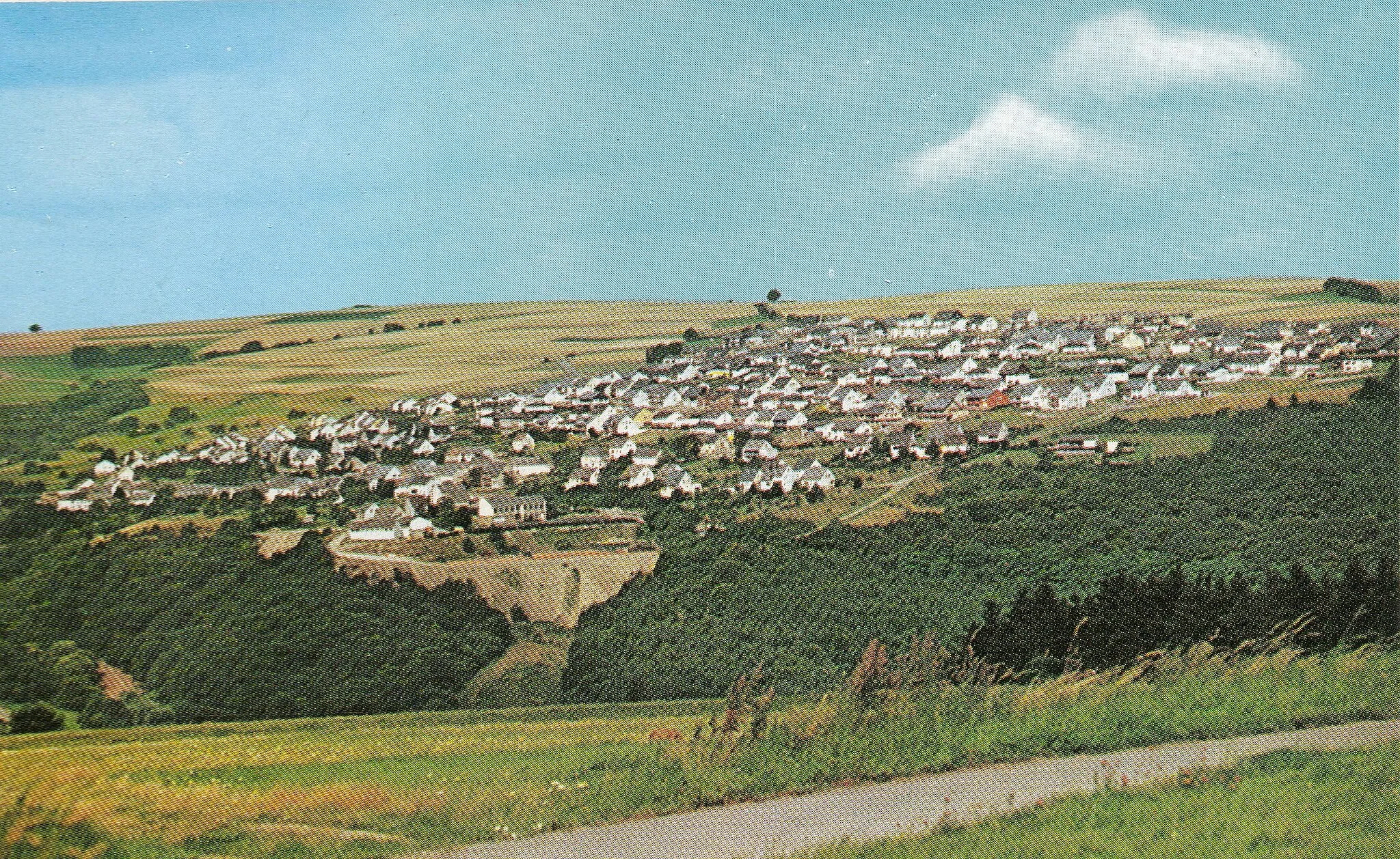
Start: Kell am See Village centerKell: Cycling Paradise in Trier, Germany
Kell, located in Trier, Germany, offers a variety of cycling opportunities for road and gravel cyclists. With its picturesque countryside, smooth roads, and rolling hills, Kell is an ideal destination for cyclists looking to explore the beauty of the region. The locality is home to several well-known cycling routes, including the Mosel Valley Cycle Path and the Saar-Hunsrück-Steig Trail. Additionally, Kell is in close proximity to the famous climbs of the Eifel region, such as the Nürburgring and the Schleidener Atzenberg.0 km
0 km
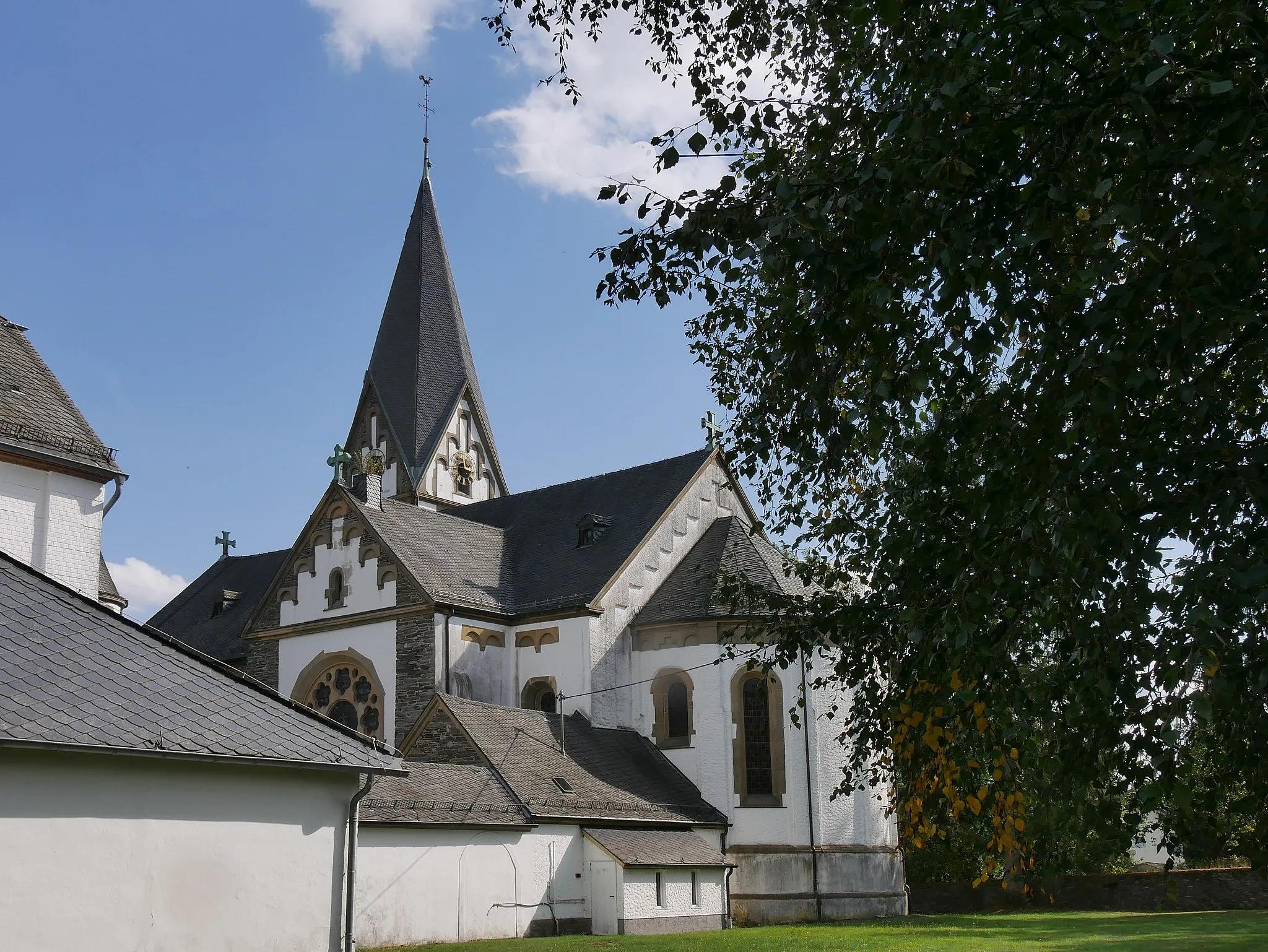
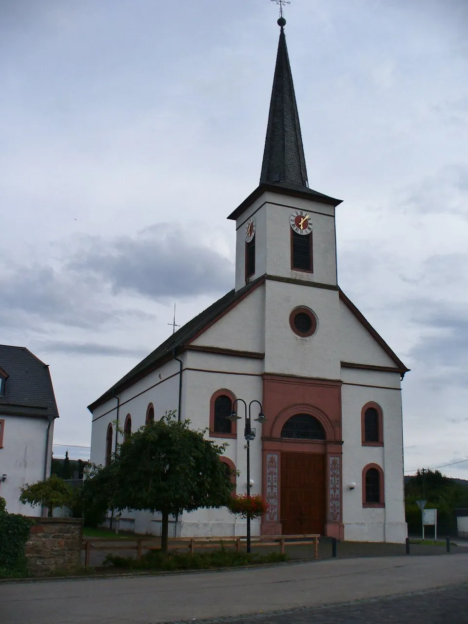
Kell am SeeVillageKell am See offers a charming starting point with beautiful architecture and quaint cafes.
16 km
16 km
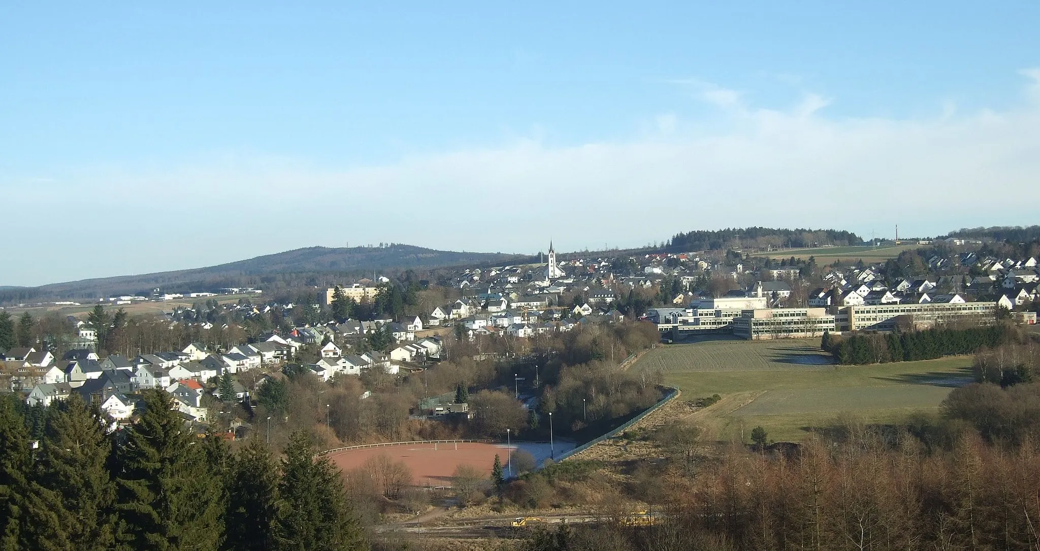
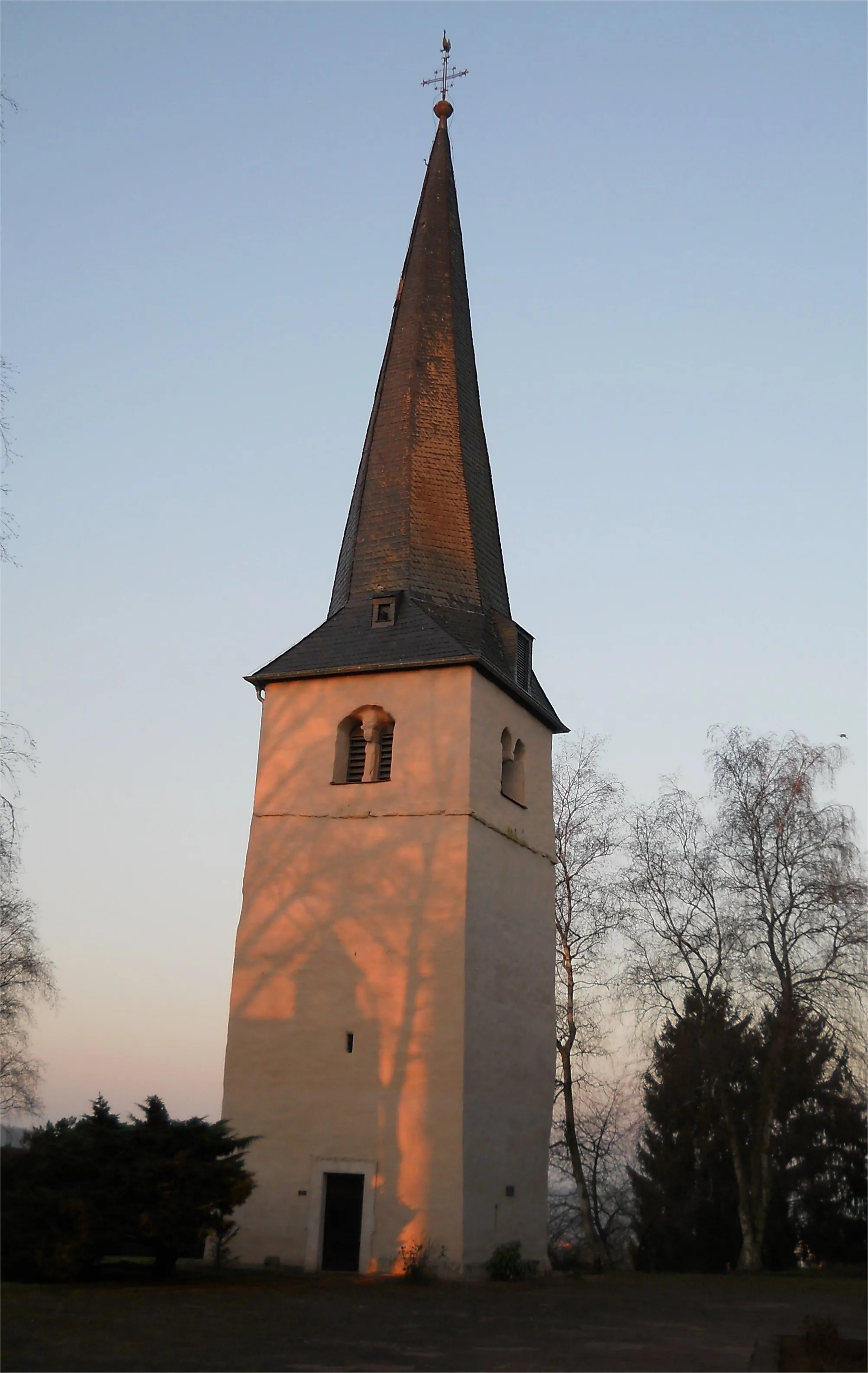
MitlosheimSub-urbMitlosheim is a peaceful village with historic buildings and a lovely church.
29 km
29 km
BiereicheAttractionBiereiche is a picturesque spot with a centuries-old tree and a small picnic area.
32 km
32 km
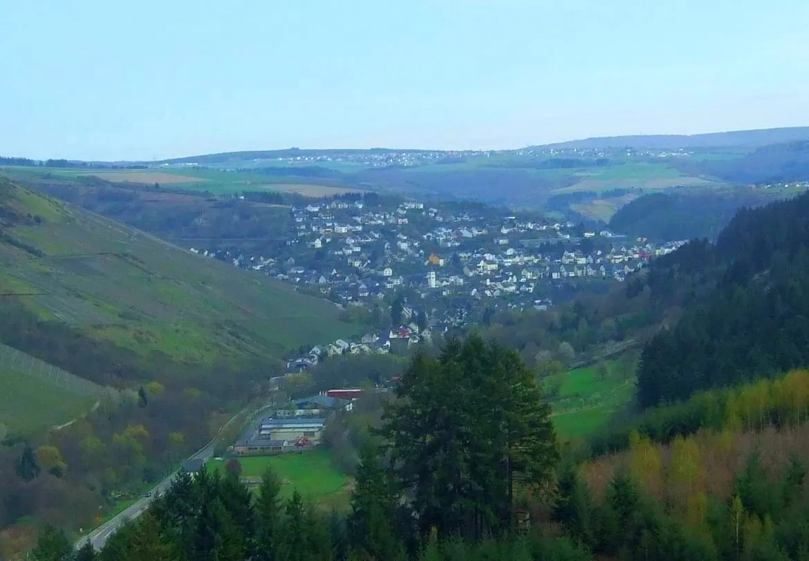
Peterkopf402 mPeakPeterkopf provides panoramic views of the surrounding landscape and the town of Hermeskeil.
38 km
38 km
Judenkopf517 mPeakJudenkopf offers a glimpse into the region's rich Jewish history with its historic cemetery.
53 km
53 km
7-Köpfe-BlickViewpointThe 7-Köpfe-Blick viewpoint offers breathtaking vistas of the seven hills surrounding the area.
57 km
57 km
Finish: Kell am See Village centerKell: Cycling Paradise in Trier, Germany
Cycling routes nearby: