Gravel Adventure through Welschbillig
A gravel cycling route starting from Welschbillig
Explore the rugged beauty of Trier on this epic gravel adventure
Map

This 89-kilometer gravel route will take you through some of the most scenic and challenging terrain around Welschbillig. With a total ascent of 1666 meters, be prepared for some tough climbs and technical descents. The route passes through the picturesque towns of Kordel, Heidekopf, Dodenburg, and Monzeler Hüttenkopf, offering plenty of opportunities to stop and take in the stunning views. The highlight of the route is the Altricher Alte Eiche, an ancient oak tree that is over 300 years old. Overall, this route is challenging but rewarding, with a variety of terrain and breathtaking scenery.
gravel
89 km
1666 m
Tough
Route profile
Highlights on the route
0 km
0 km
Start: Träg Village centerWelschbillig: Exploring two countries in Welschbillig
Welschbillig is a locality located in the Trier region of Germany. Road and gravel cyclists will find a variety of cycling routes to enjoy in the area. Welschbillig is situated near the border with Luxembourg, offering cyclists the opportunity to explore both German and Luxembourgish countryside. While there are no famous cycling-related spots or well-known climbs in Welschbillig itself, the region is known for its beautiful landscapes, including the Eifel Nature Park. Overall, Welschbillig provides a pleasant environment for cyclists to explore the surrounding nature and enjoy peaceful rides.5 km
5 km
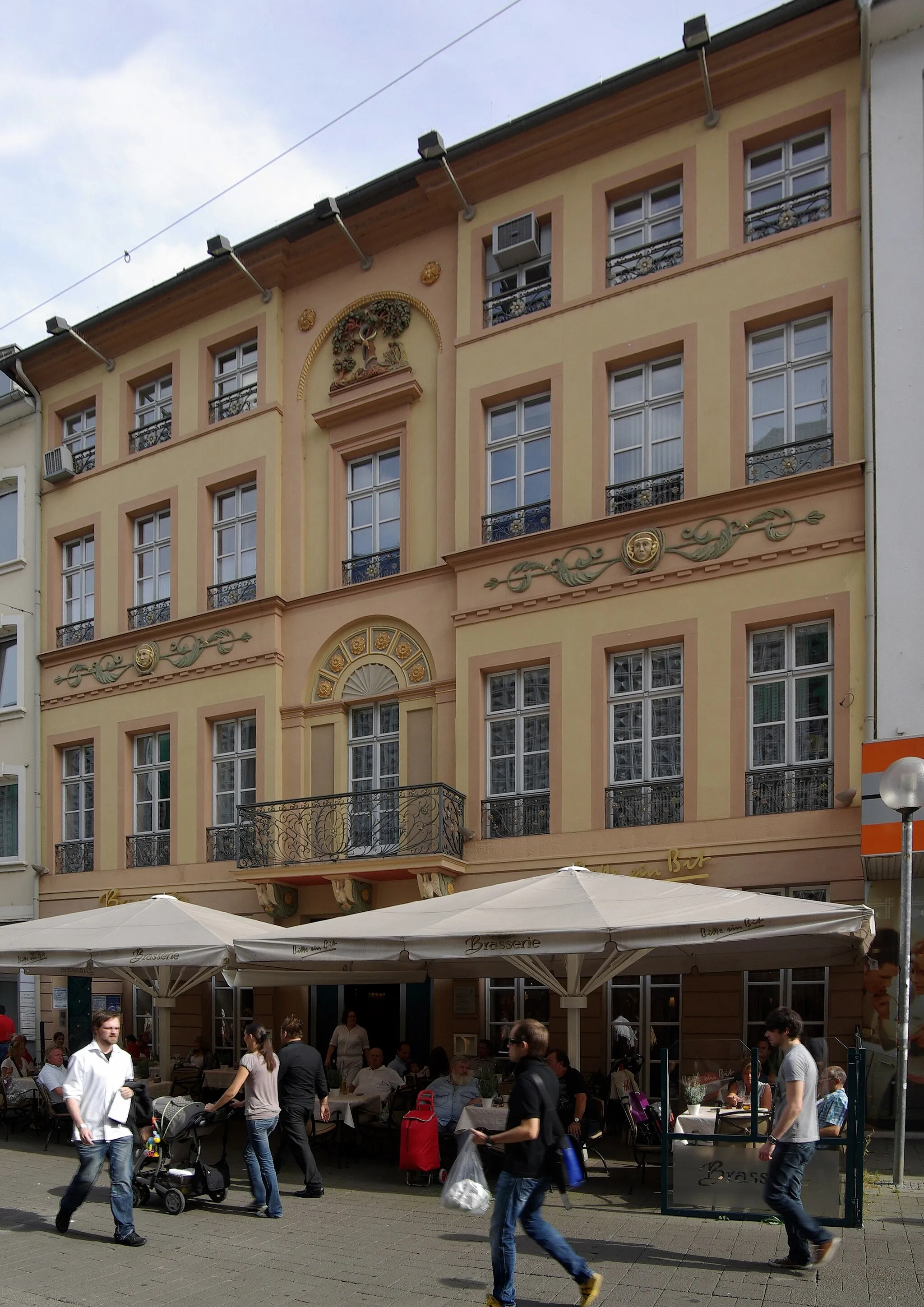
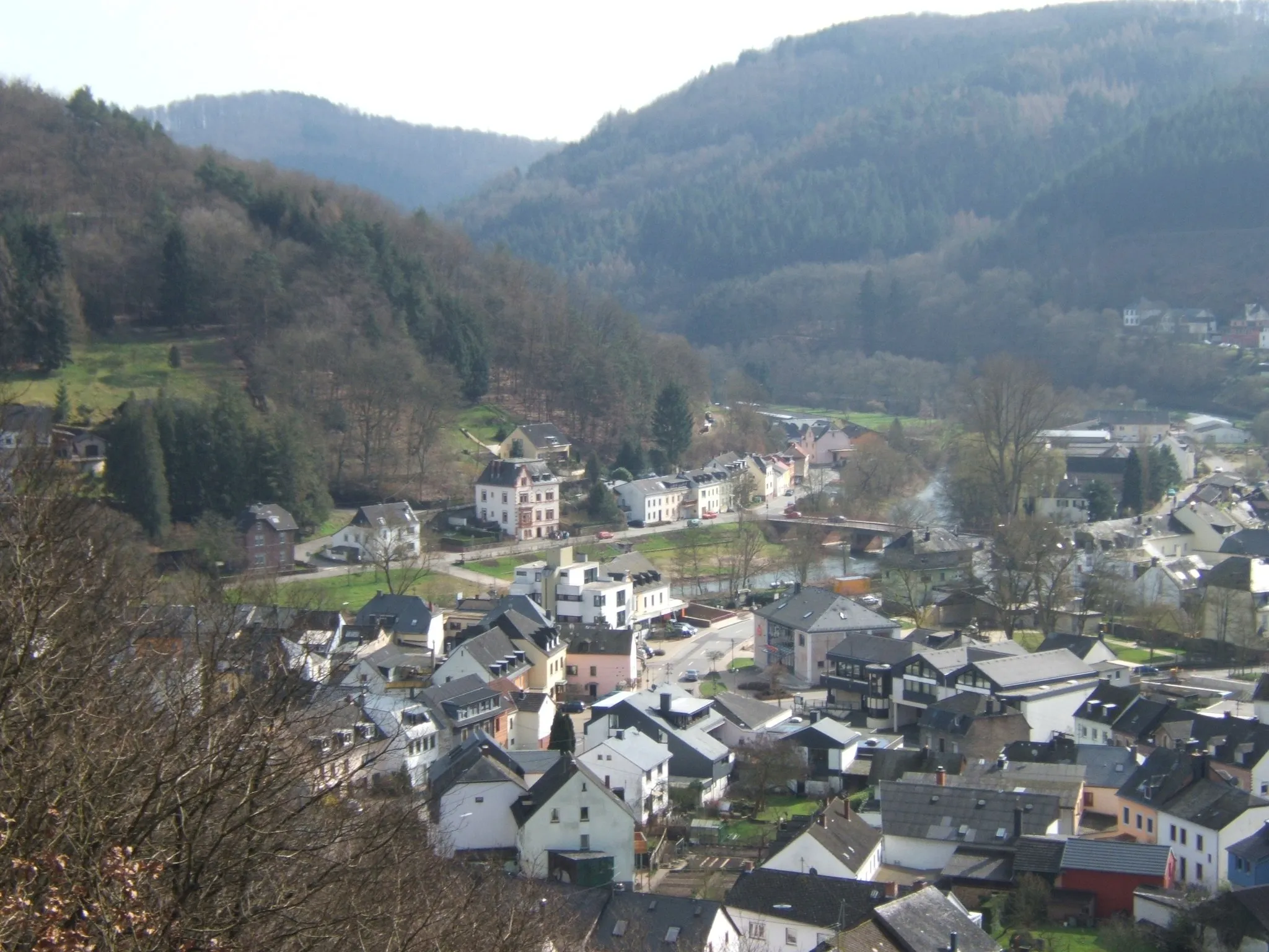
KordelVillageKordel is a quaint village known for its charming cobblestone streets and traditional half-timbered houses. Take a break here and sample some local food and drink.
16 km
16 km
Heidekopf361 mPeakHeidekopf offers panoramic views of the surrounding countryside, making it the perfect spot to catch your breath and enjoy the scenery.
25 km
25 km
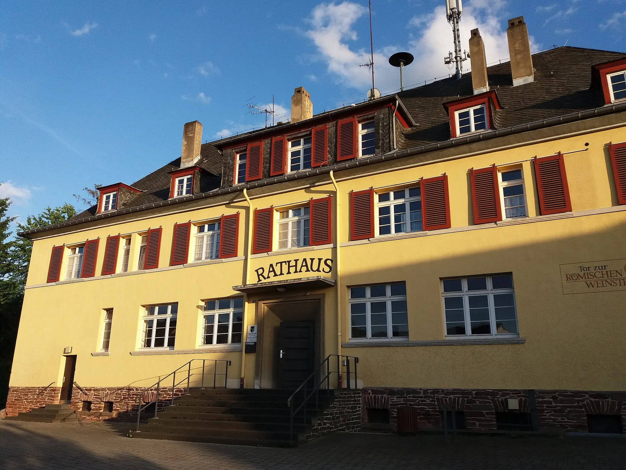
DodenburgVillageDodenburg is home to a medieval castle, which is worth a visit if you have time. The views from the top are incredible.
41 km
41 km
Monzeler Hüttenkopf420 mPeakMonzeler Hüttenkopf is the highest point on the route, offering panoramic views of the Moselle Valley and beyond. It's a challenging climb, but well worth the effort.
49 km
49 km
Altricher Alte EicheViewpointThe Altricher Alte Eiche is a famous landmark in the area. This centuries-old oak tree is a symbol of resilience and endurance.
56 km
56 km
DreisVillageDreis is a small village known for its charming architecture and picturesque streets. It's a great place to stop for a coffee or bite to eat.
69 km
69 km
HerforstVillageHerforst is a historic village with a rich history dating back to Roman times. Explore the narrow streets and learn about the area's fascinating past.
78 km
78 km
Auw an der KyllVillageAuw an der Kyll is a tranquil village located along the Kyll River. Take a moment to soak in the peaceful atmosphere before continuing on your journey.
89 km
89 km
Finish: Träg Village centerWelschbillig: Exploring two countries in Welschbillig
Cycling routes from Welschbillig:
The Luxembourg Border Tour The Volcanic Gravel Challenge Gravel Adventure through Welschbillig Road Cycling Loop from Trier to Welschbillig Off the Beaten Path Gravel Adventure near Welschbillig The Kyll Valley Gravel Adventure The Mosel Valley Road Loop Scenic Gravel Loop near Welschbillig Road Cycling Adventure around Trier The Mosel River Road Cycling Challenge
Cycling routes nearby: