The Hohenzollern Circuit
A road cycling route starting from Balingen
A challenging ride featuring the famous Hohenzollern Castle.
Map
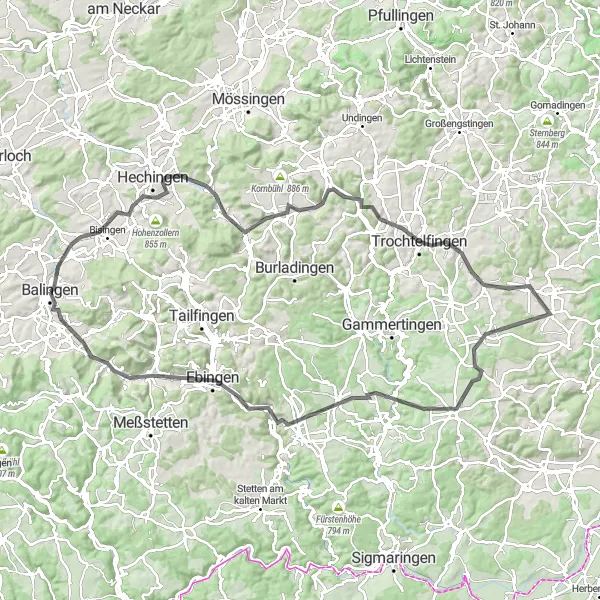
Embark on the Hohenzollern Circuit, a challenging route that takes you to the iconic Hohenzollern Castle. This epic journey encompasses the stunning landscapes of Netzenberg, Jungingen, Killerberg, and Trochtelfingen. Cyclists will encounter the natural wonders of Augstberg, Kettenacker, and Gräbelesberg before reaching Winterlingen and the grand finale at Zollernschloss Balingen. With a difficulty rating of 4, this route is suitable for well-trained amateur cyclists seeking a thrilling adventure.
road
111 km
1270 m
Tough
Route profile
Highlights on the route
0 km
0 km
Start: Balingen City centerBalingen: Conquer the Challenging Terrain of Balingen on Two Wheels
Balingen is a town located in Tübingen, Germany. From a cyclist's perspective, Balingen offers a mix of road and gravel cycling routes. The area is predominantly hilly, with some challenging climbs and exhilarating descents. One notable cycling spot nearby is the Haigerach Cyclocross Route, which takes cyclists through forested areas and steep terrains. Additionally, Balingen hosts the Christophstraße Cycling Race, attracting professional riders from around the world. Overall, Balingen is a great destination for cyclists seeking a combination of challenging routes and competitive cycling events.0 km
0 km
BalingenTownBalingen, the starting point of the route and a vibrant town.
3 km
3 km
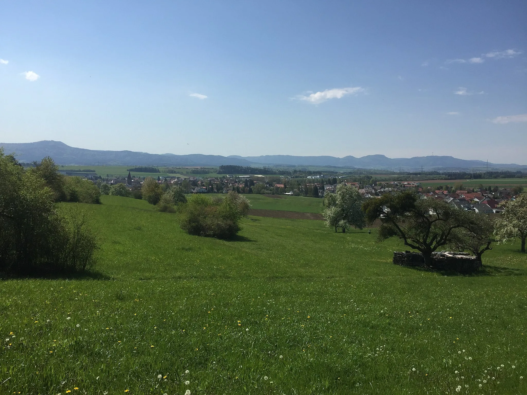
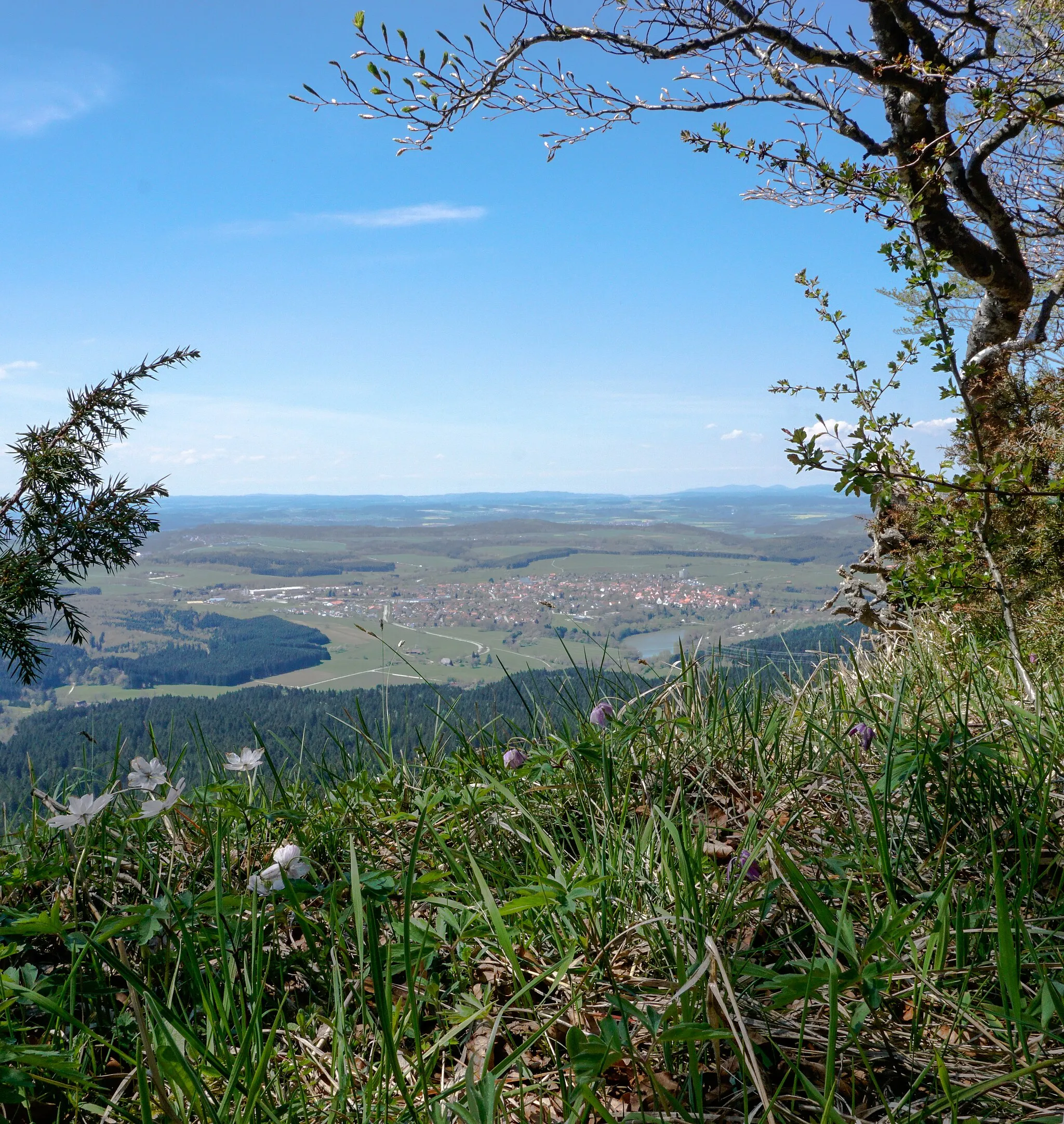
Netzenberg561 mPeakNetzenberg, a hill with stunning views over the surrounding countryside.
22 km
22 km
JungingenVillageJungingen, known for its charming half-timbered houses and historic buildings.
25 km
25 km
Killerberg813 mPeak ViewpointKillerberg, a hill with panoramic views of the Swabian Alps.
42 km
42 km
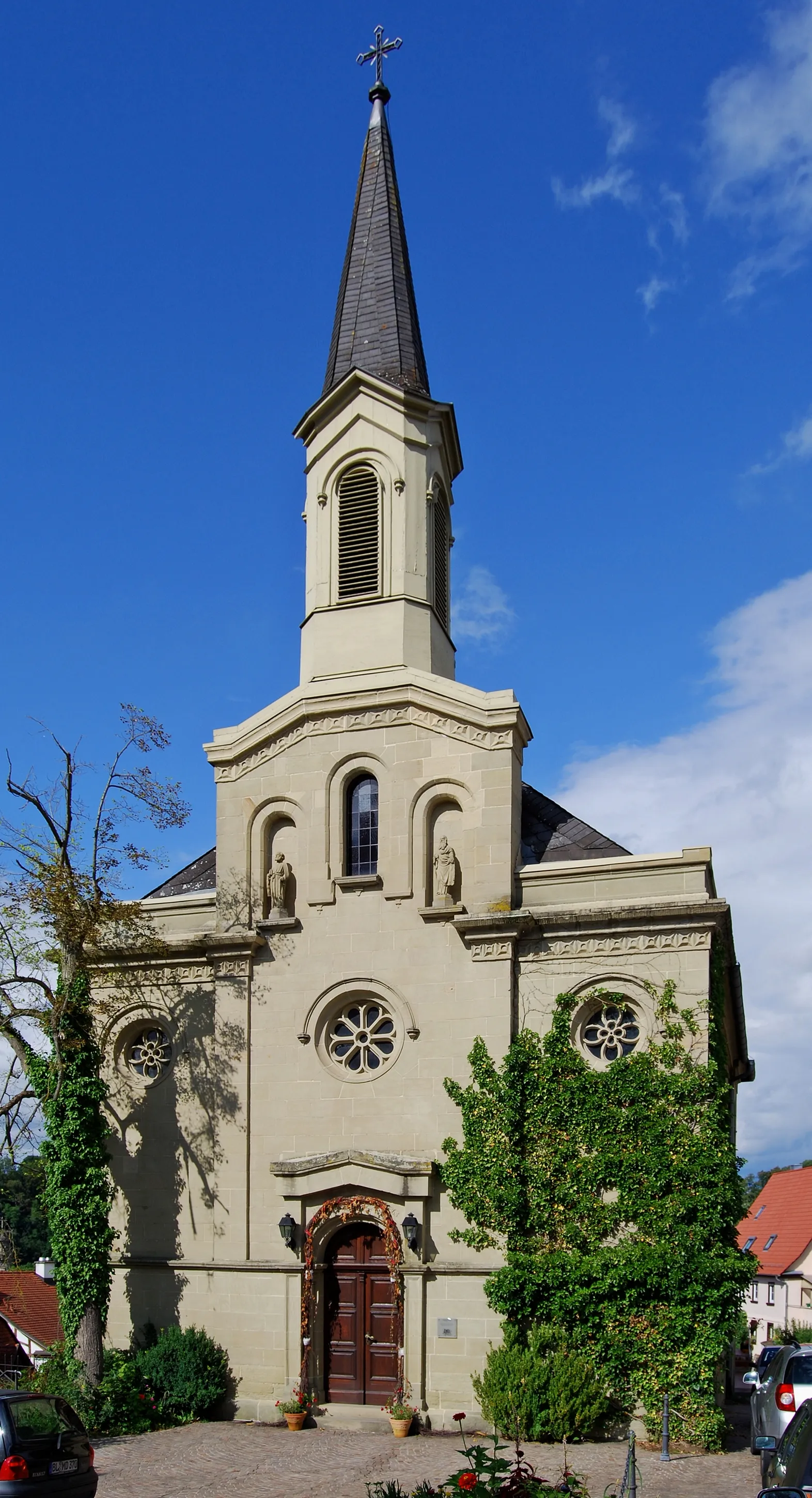
TrochtelfingenTownTrochtelfingen, a small town with a picturesque old town.
45 km
45 km
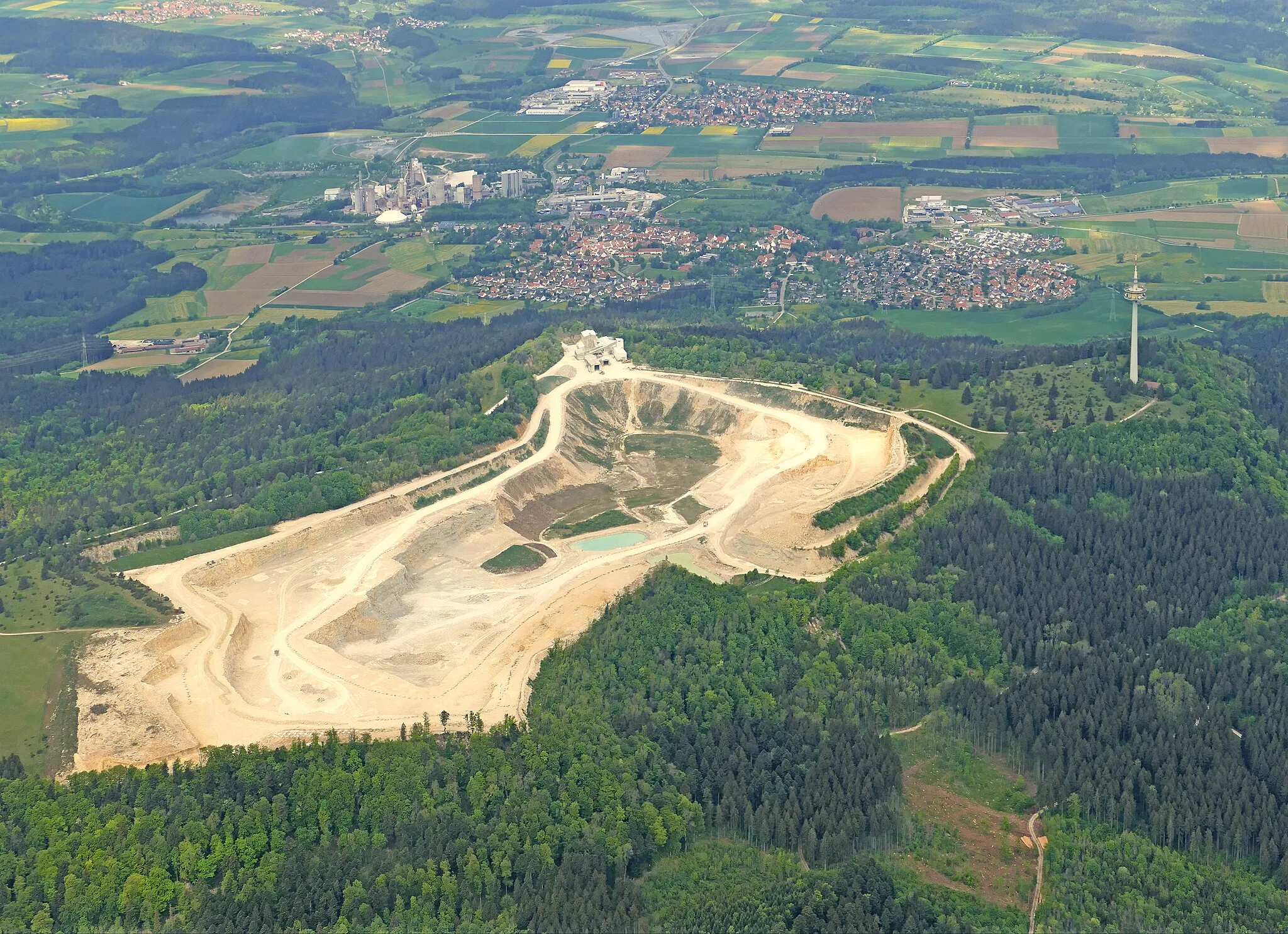
Augstberg849 mPeakAugstberg, a nature reserve with diverse flora and fauna.
61 km
61 km
KettenackerVillageKettenacker, offering stunning views over the Neckar Valley.
84 km
84 km
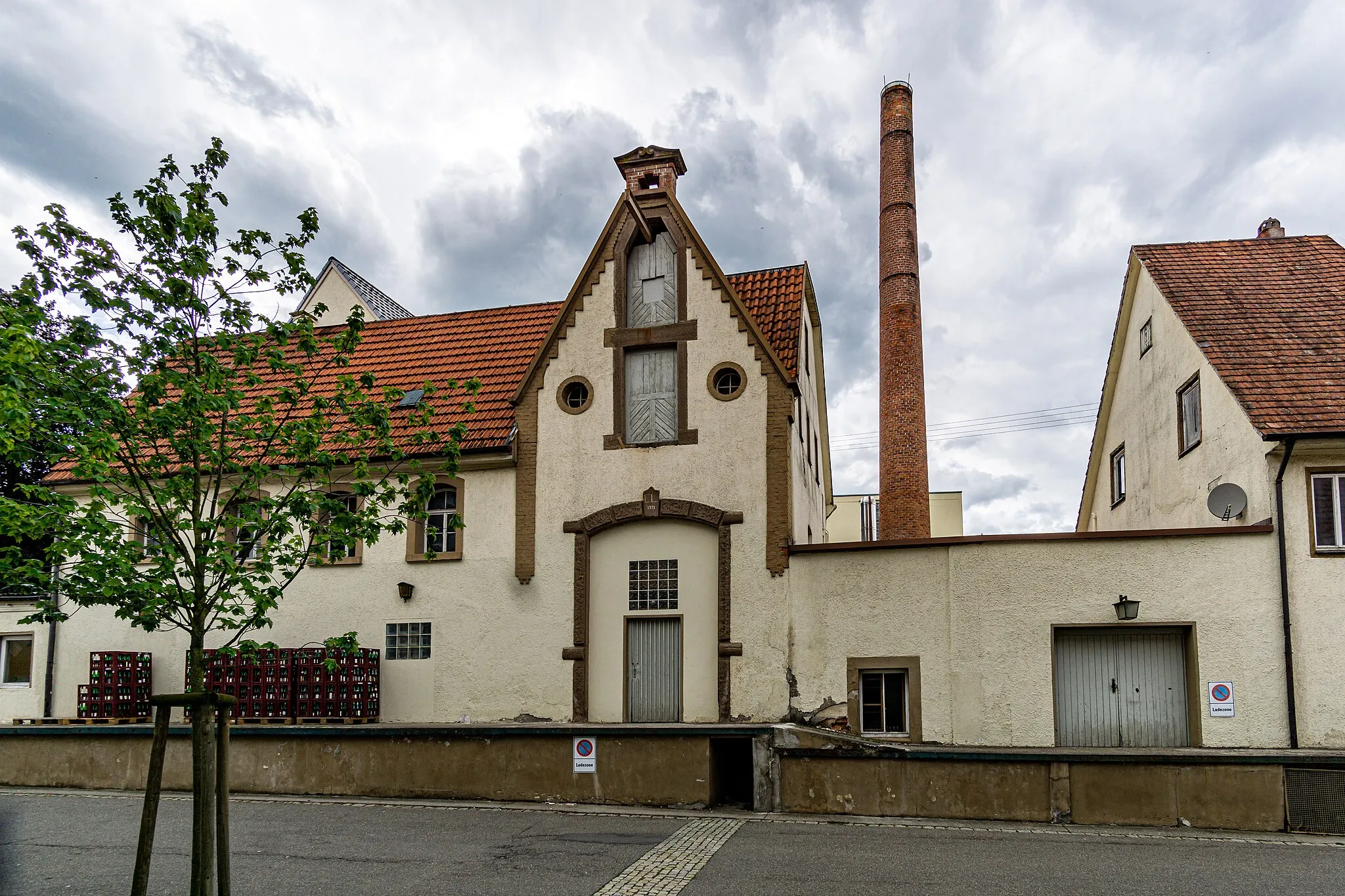
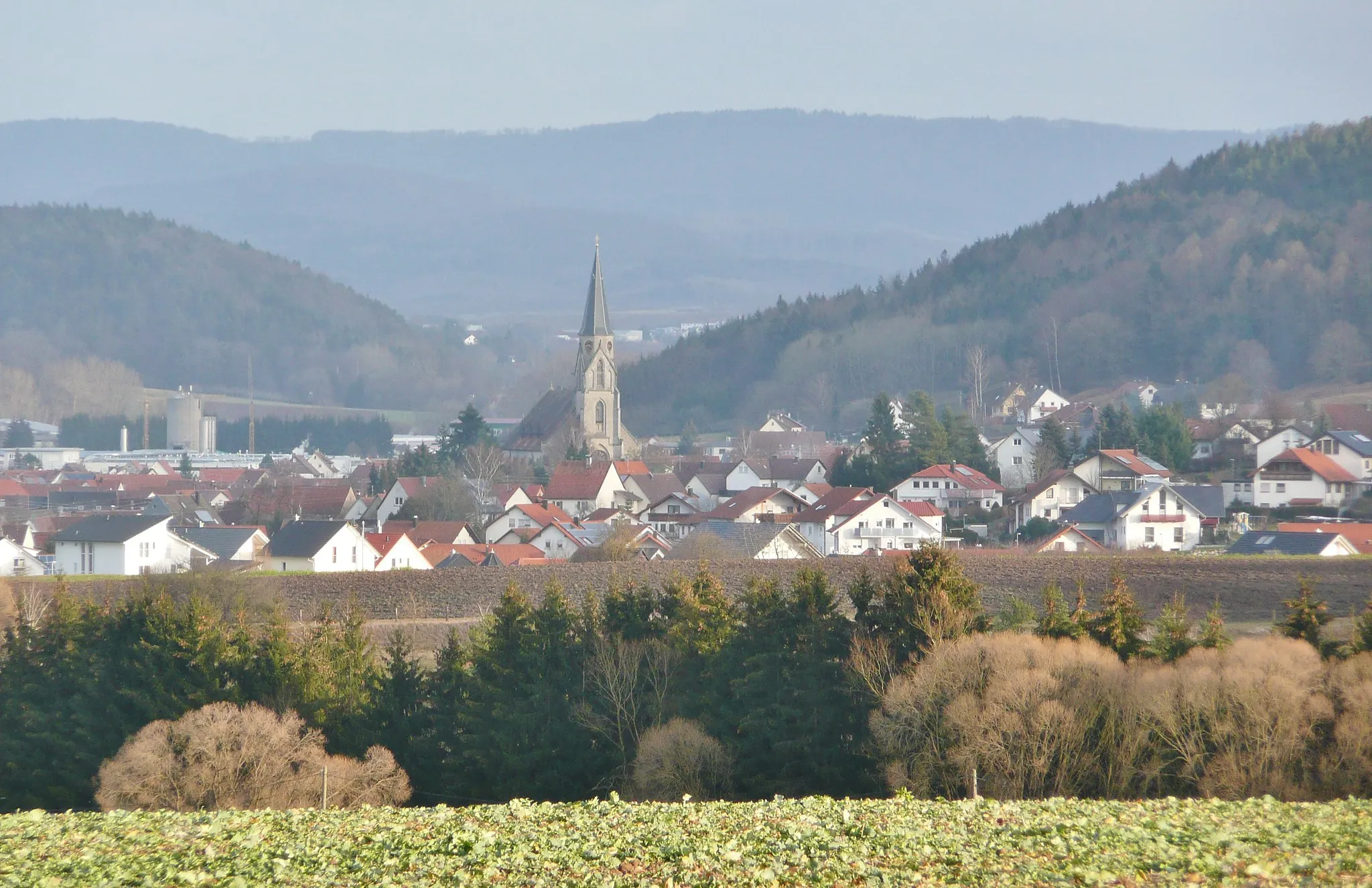
WinterlingenVillageWinterlingen, a charming village with well-preserved historic buildings.
86 km
86 km
BurgfelsenViewpointBurgfelsen, a rock formation renowned for its impressive cliffs.
101 km
101 km
Gräbelesberg915 mPeak ViewpointGräbelesberg, a hilly area with beautiful landscapes.
110 km
110 km
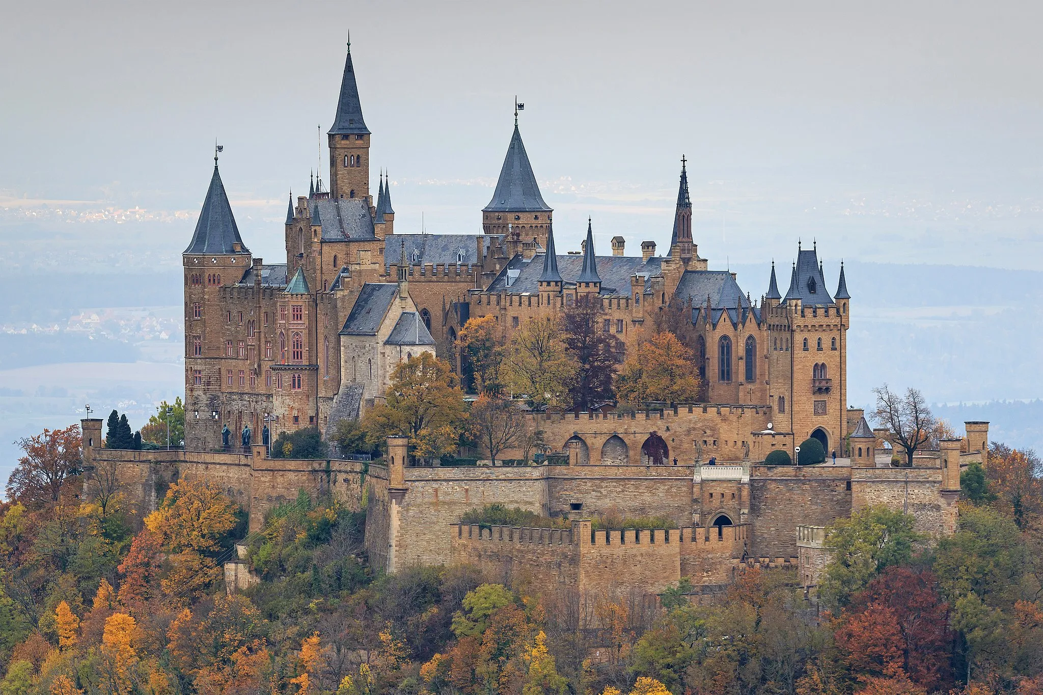
Zollernschloss BalingenCastleZollernschloss Balingen, a magnificent castle providing breathtaking views of the city and surrounding area.
111 km
111 km
Finish: Balingen City centerBalingen: Conquer the Challenging Terrain of Balingen on Two Wheels
Cycling routes from Balingen:
Cycling routes nearby: