The Blaufels Challenge
A gravel cycling route starting from Blaubeuren
Ride through the picturesque hills
Map

This gravel route takes you through the beautiful hills surrounding Blaubeuren. With a total distance of 74 km and an ascent of 1016 m, it offers a challenging but rewarding experience. Throughout the ride, you'll pass through several highlights, including the Blaubeuren viewpoint and the Wasserscheide Rhein-Donau.
gravel
74 km
1016 m
Tough
Route profile
Highlights on the route
0 km
0 km
Start: Blaubeuren City centerBlaubeuren: Cycling paradise with stunning landscapes and historic charm.
Blaubeuren, located in Germany's Tübingen region, offers a pleasant cycling experience. The town is surrounded by beautiful landscapes and rolling hills, making it ideal for both road and gravel cycling. Its proximity to the Swabian Alb region provides numerous cycling routes and famous climbs, such as the steep ascent to Blautopf. Cyclists can also explore the charming town itself, with its historic buildings and picturesque streets. Overall, Blaubeuren offers a great mix of challenging rides and scenic beauty, making it a popular destination for cyclists.0 km
0 km
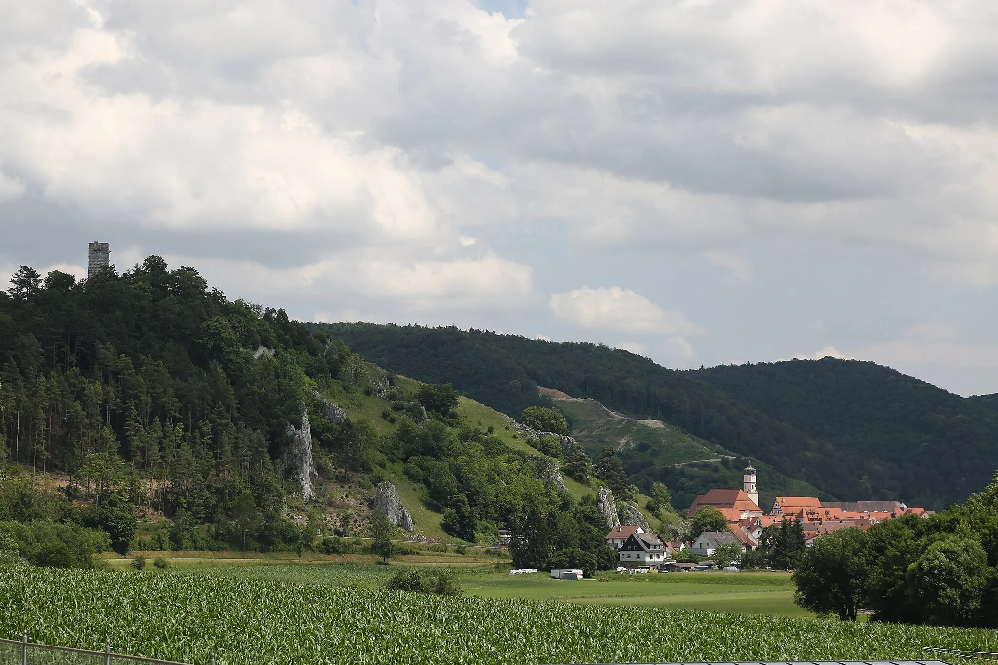
Blaufels647 mPeak ViewpointLocated at the start of the route, Blaufels offers stunning views of the surrounding area.
9 km
9 km
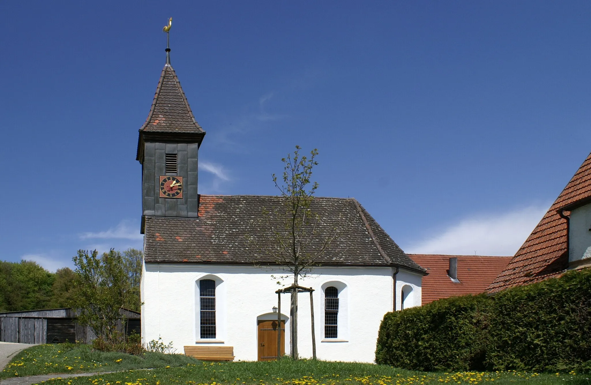
TreffensbuchHamletTreffensbuch is a small village that provides a quiet and peaceful atmosphere.
19 km
19 km
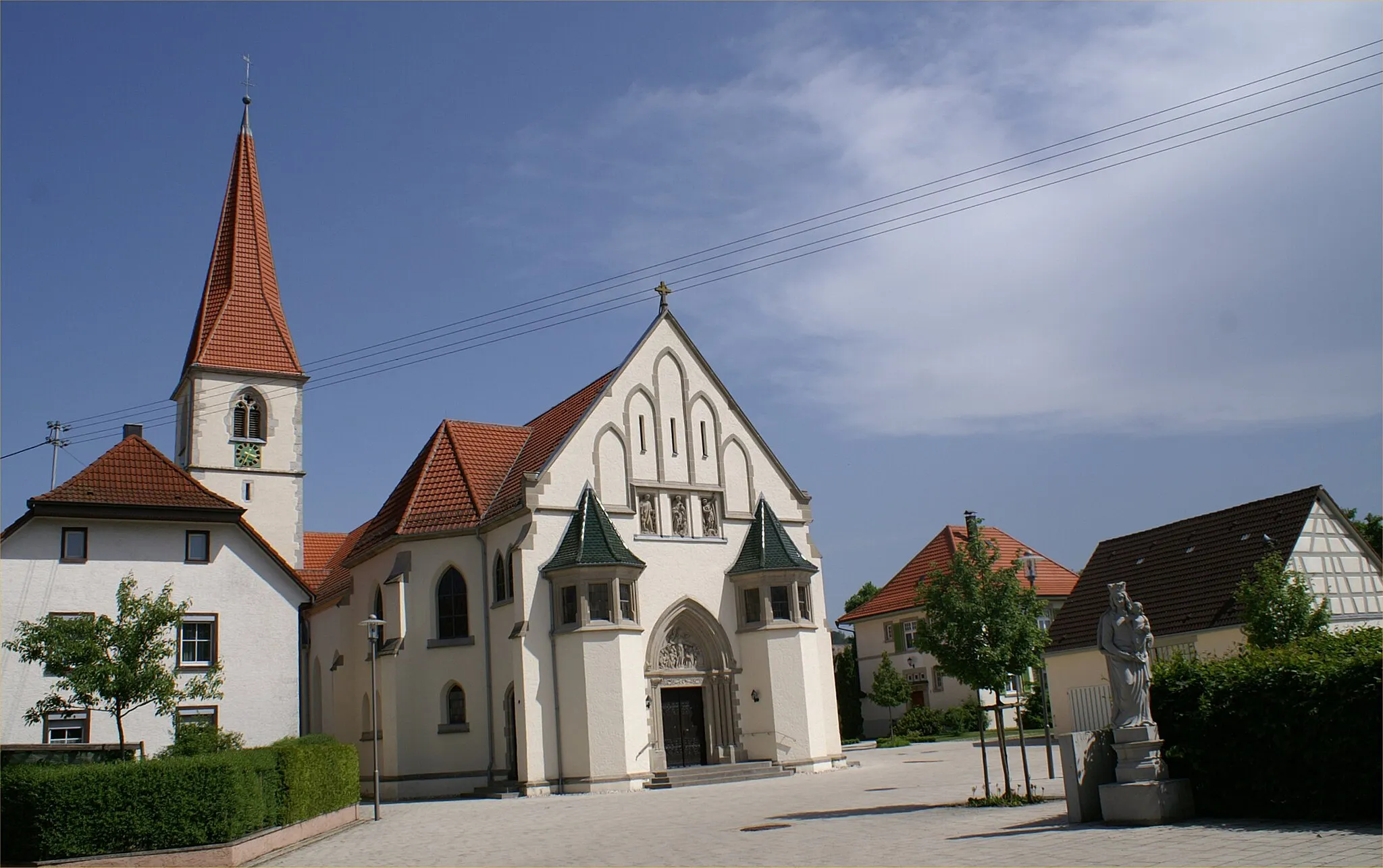
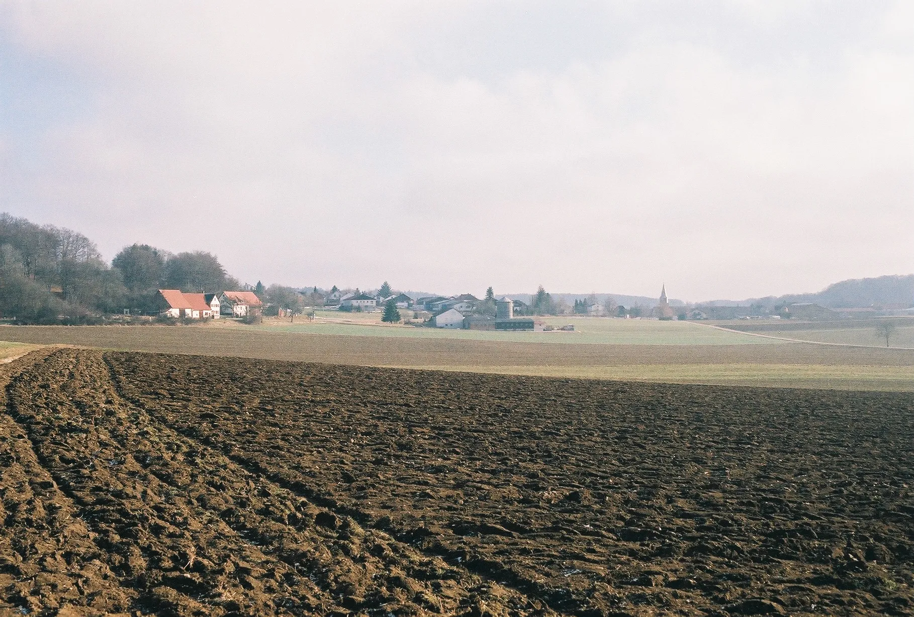
OppingenVillageOppingen is known for its historic buildings and scenic landscapes.
25 km
25 km
Wasserscheide Rhein-Donau585 mMountain PassAt Wasserscheide Rhein-Donau, you'll ride through a natural divide between two major river basins.
47 km
47 km
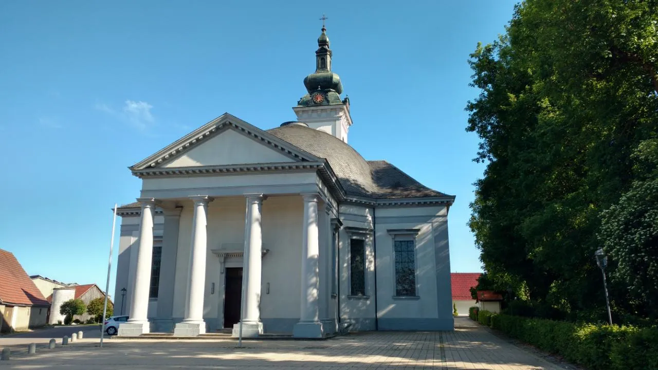
BreitingenVillageBreitingen is a charming village with traditional architecture and a relaxed atmosphere.
56 km
56 km
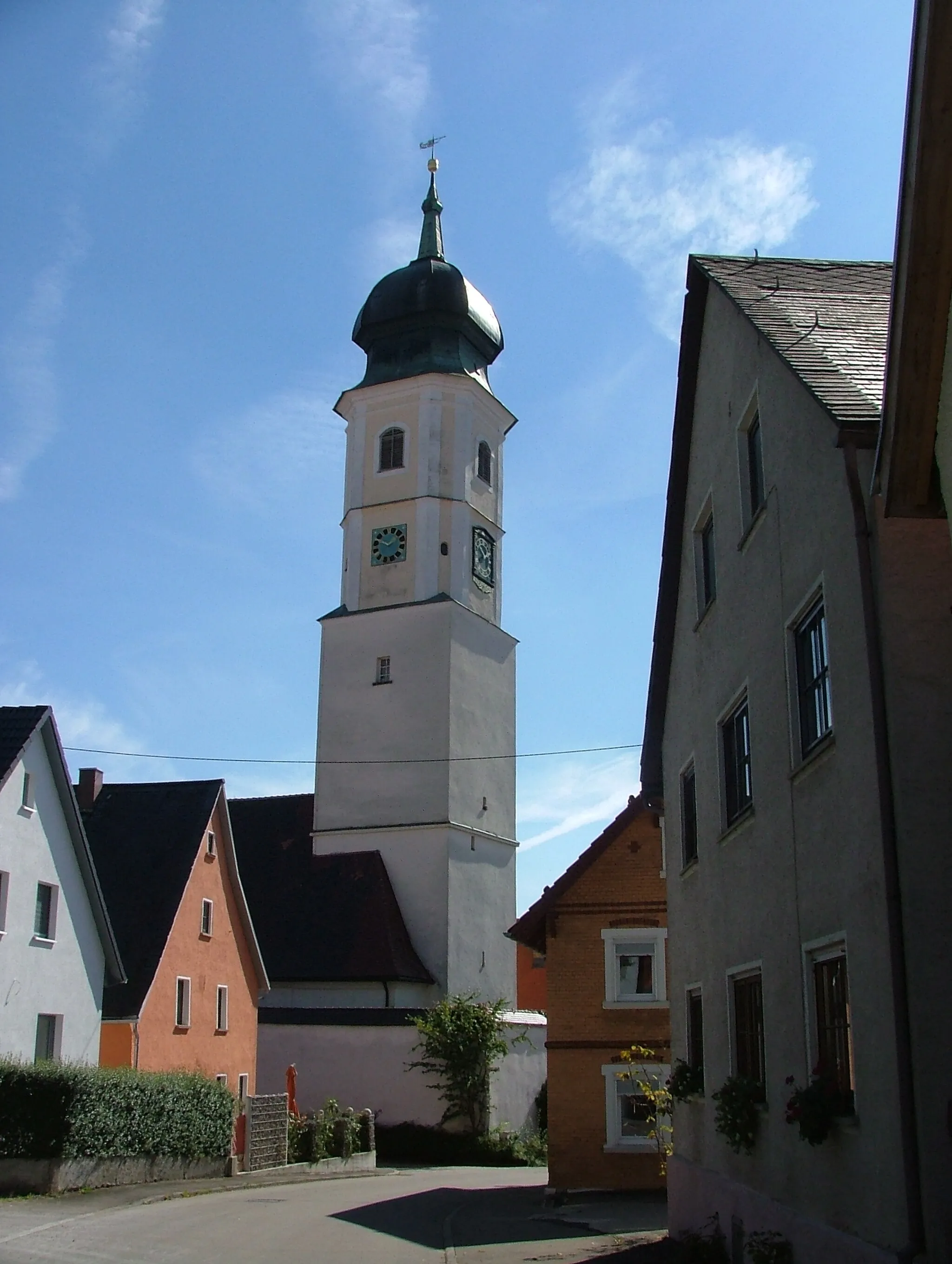
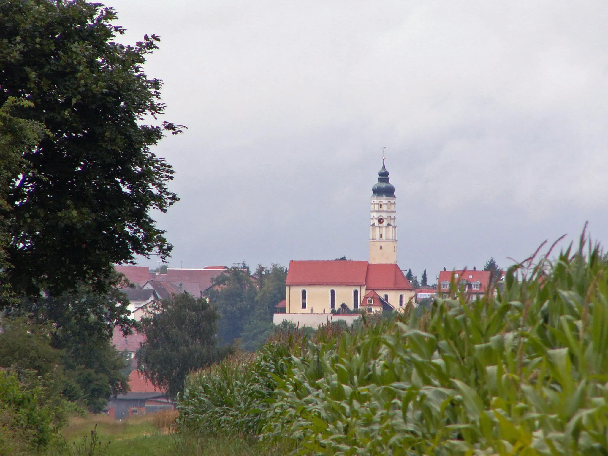
DornstadtVillageDornstadt is a small town with a rich history and beautiful old houses.
63 km
63 km
BlausteinblickViewpointFrom Blausteinblick, you can enjoy panoramic views of the surrounding landscape.
74 km
74 km
RuckenkreuzViewpointRuckenkreuz is a serene spot that offers a peaceful resting place.
74 km
74 km
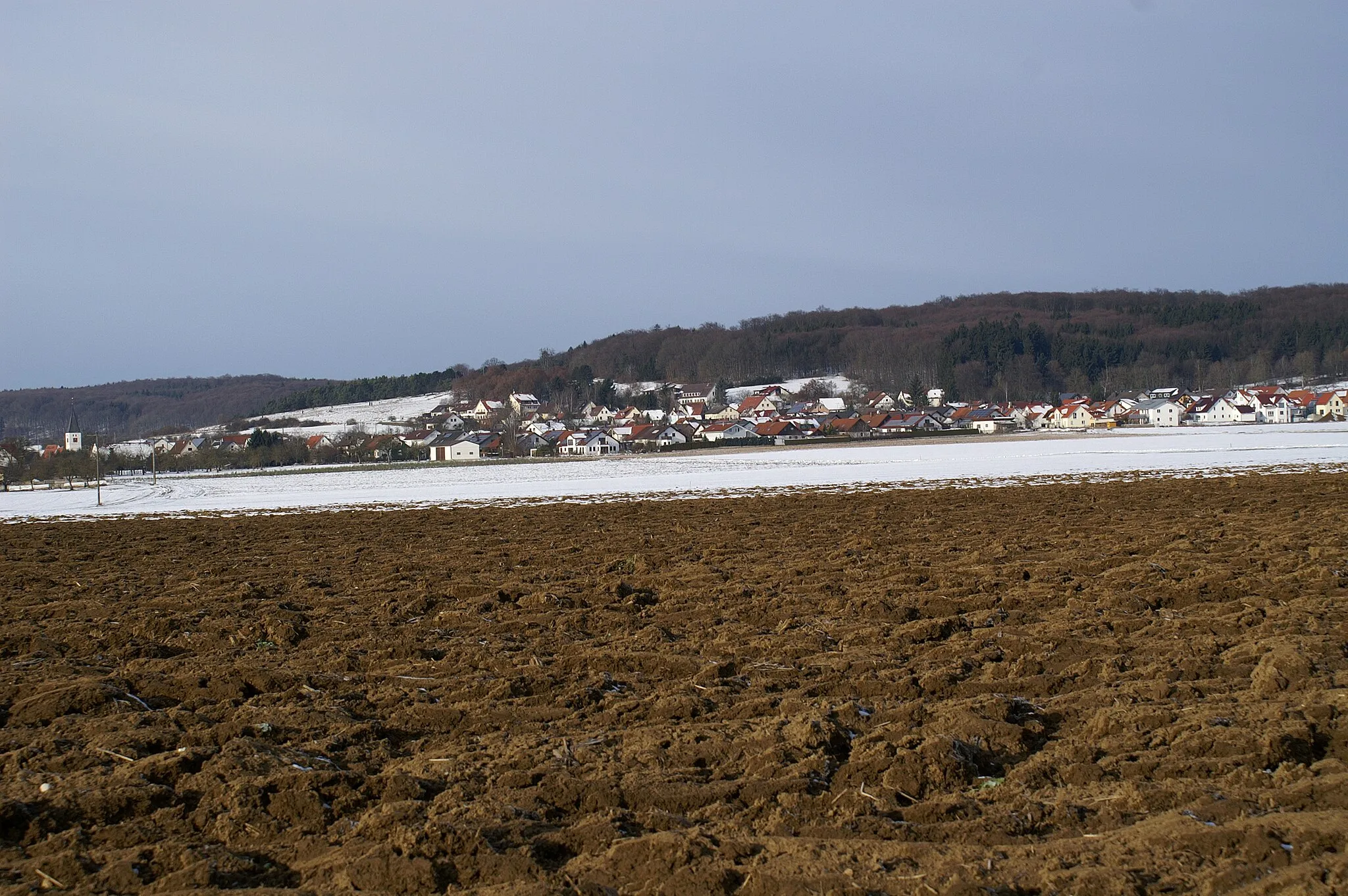
BlaubeurenTownBlaubeuren, the starting and ending point of the route, is a historic town with a Gothic monastery and charming streets.
74 km
74 km
Finish: Blaubeuren City centerBlaubeuren: Cycling paradise with stunning landscapes and historic charm.
Cycling routes nearby: