The Meltwater Challenge
A road cycling route starting from Blaubeuren
Conquer the challenging ascents
Map

This road route is designed for experienced and well-trained cyclists who enjoy climbing. With a total distance of 70 km and an ascent of 864 m, it offers plenty of challenging ascents and breathtaking views. Along the way, you'll pass highlights such as Öpfingen viewpoint and the picturesque town of Munderkingen.
road
70 km
864 m
Savage
Route profile
Highlights on the route
0 km
0 km
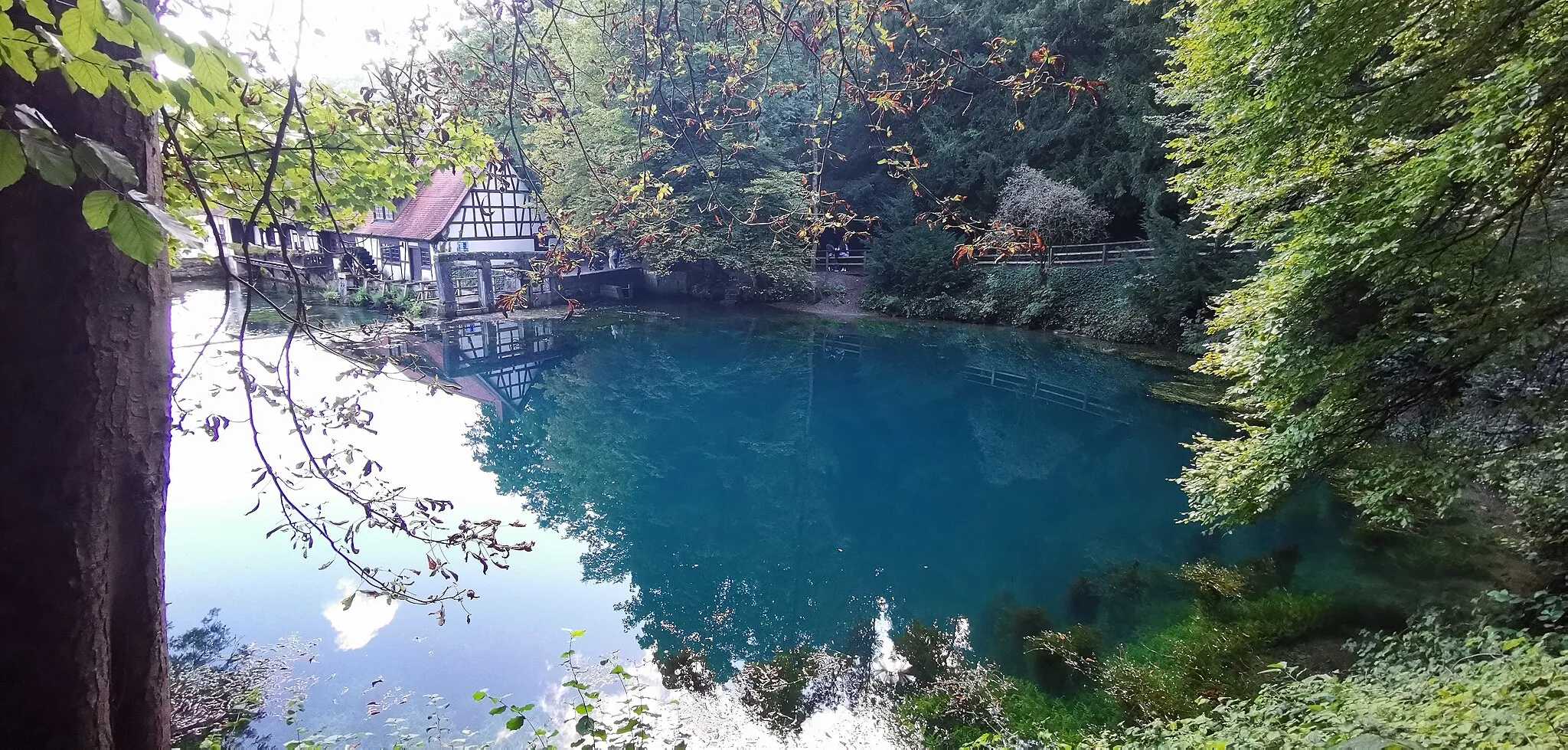
Start: Blaubeuren City centerBlaubeuren: Cycling paradise with stunning landscapes and historic charm.
Blaubeuren, located in Germany's Tübingen region, offers a pleasant cycling experience. The town is surrounded by beautiful landscapes and rolling hills, making it ideal for both road and gravel cycling. Its proximity to the Swabian Alb region provides numerous cycling routes and famous climbs, such as the steep ascent to Blautopf. Cyclists can also explore the charming town itself, with its historic buildings and picturesque streets. Overall, Blaubeuren offers a great mix of challenging rides and scenic beauty, making it a popular destination for cyclists.0 km
0 km
BlaubeurenTownBlaubeuren, the starting and ending point of the route, is a historic town with a beautiful abbey and medieval architecture.
1 km
1 km
BismarckViewpointBismarck is a small village with a prominent castle and stunning views over the surrounding countryside.
16 km
16 km
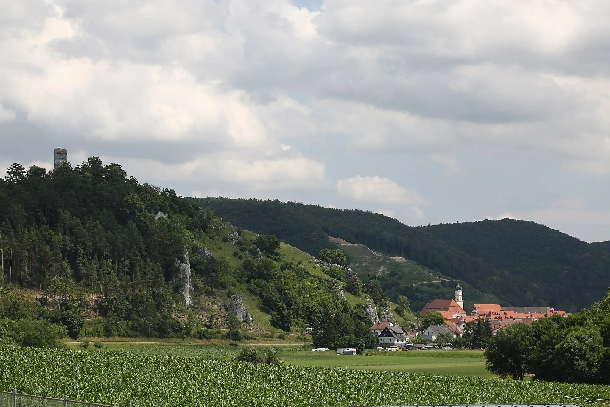
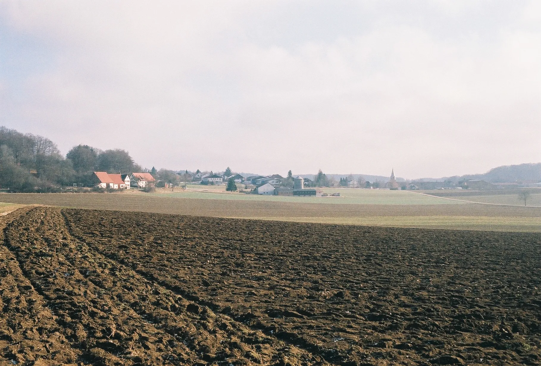
ÖpfingenVillageÖpfingen offers panoramic views over the Danube River and its wide valley.
32 km
32 km
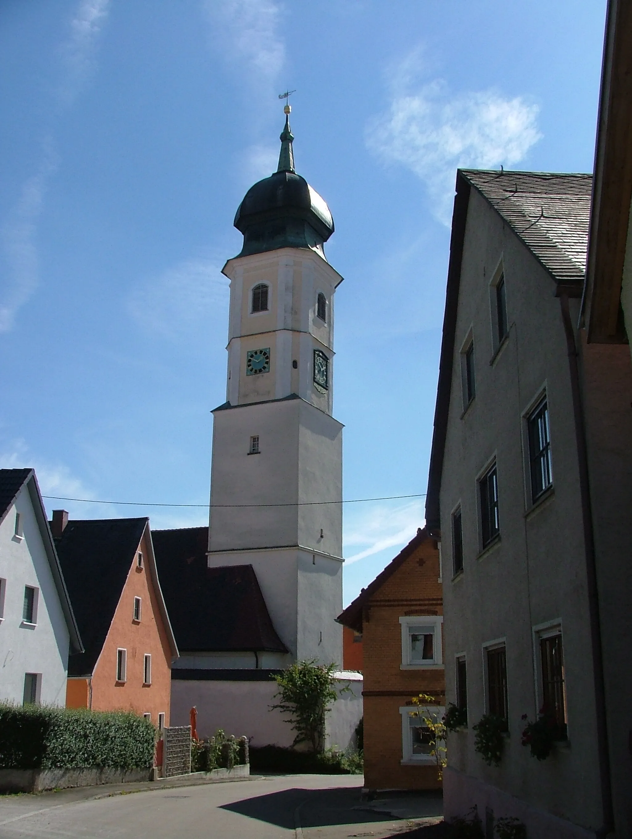
UnterstadionVillageUnterstadion is a picturesque town located on the banks of the Danube River, bordered by steep cliffs.
38 km
38 km
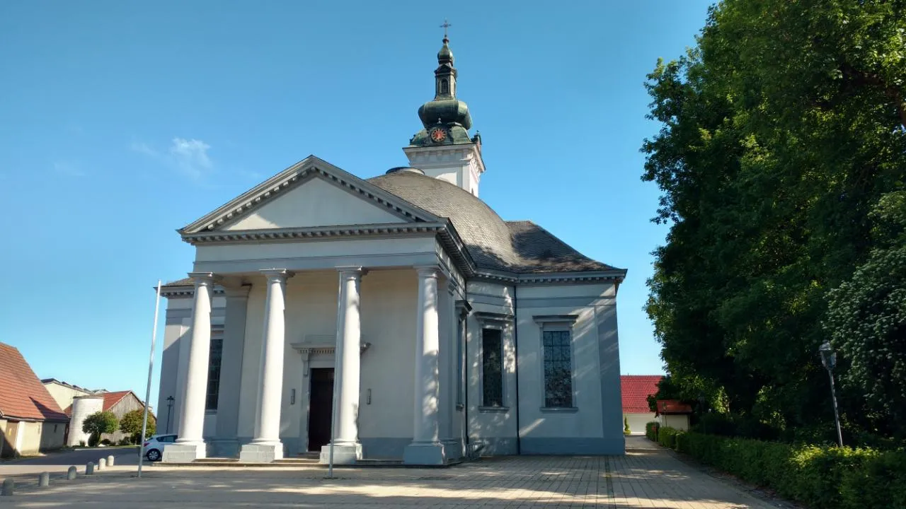
MunderkingenTownMunderkingen is a historic town known for its beautifully preserved half-timbered houses and stunning location along the Danube River.
53 km
53 km
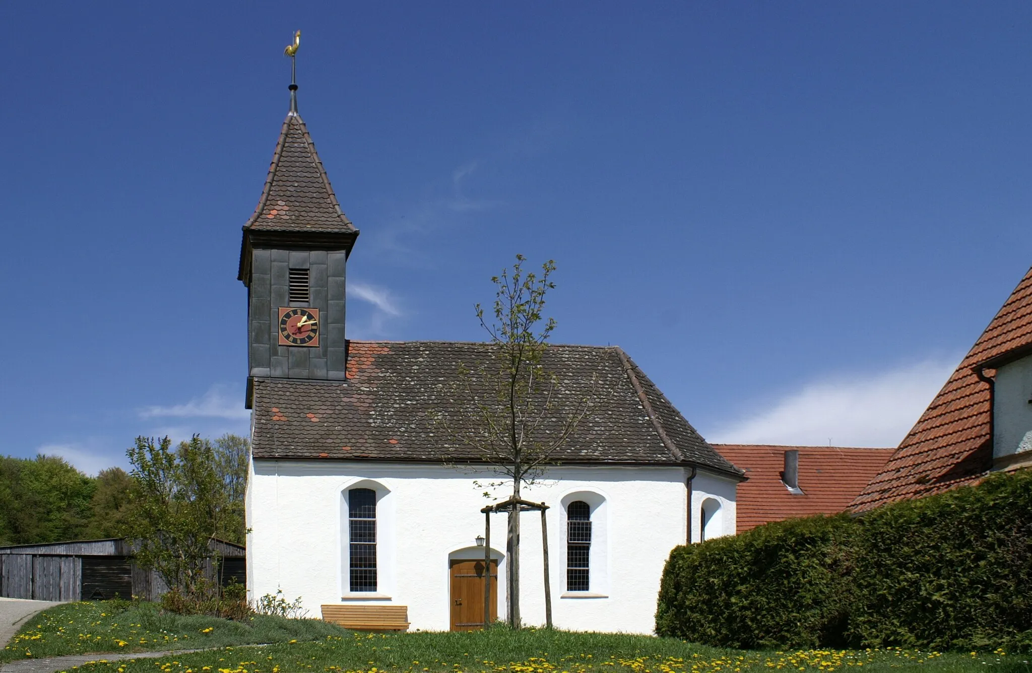
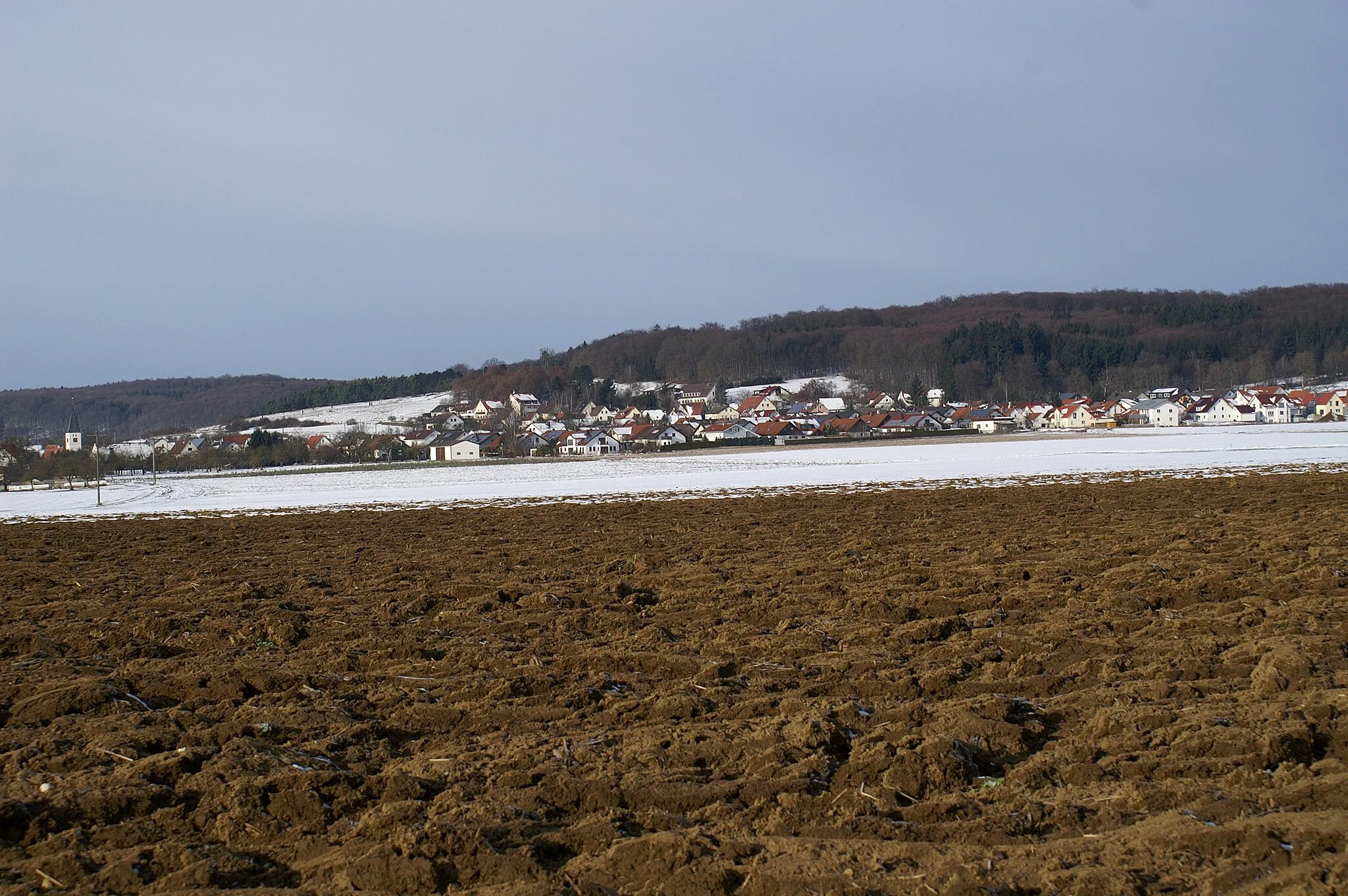
WeilersteußlingenVillageWeilersteußlingen is a small, peaceful village surrounded by idyllic countryside.
56 km
56 km
Meisenberg644 mPeakMeisenberg offers stunning views over the rolling hills and meadows of the region.
62 km
62 km
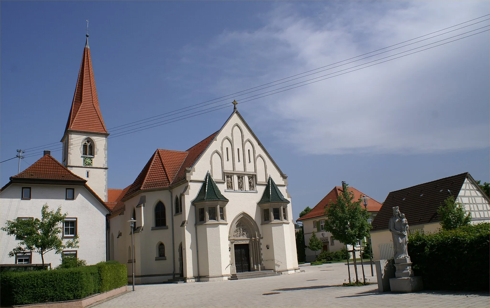
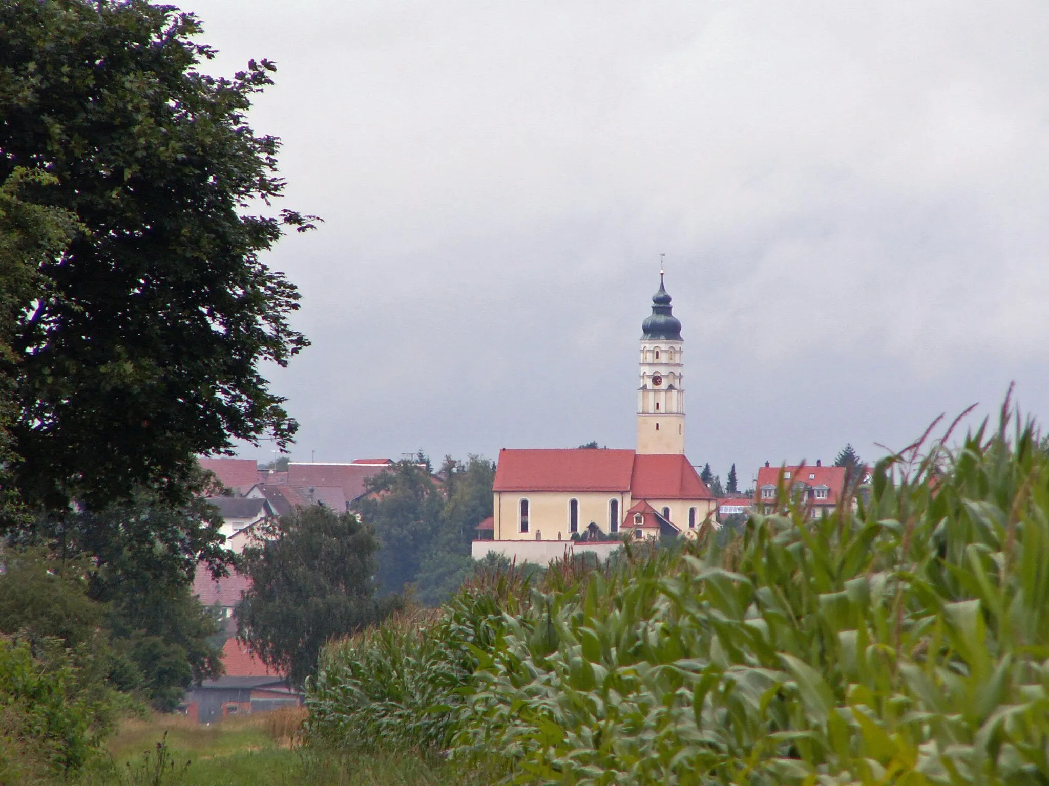
SchelklingenVillageSchelklingen is a medieval town nestled in a picturesque valley surrounded by limestone cliffs.
62 km
62 km
Kapellenberg699 mPeakKapellenberg is a popular viewpoint that overlooks the beautiful landscape of the Swabian Alb.
70 km
70 km
Finish: Blaubeuren City centerBlaubeuren: Cycling paradise with stunning landscapes and historic charm.
Cycling routes nearby: