The Gruol Epic
A road cycling route starting from Geislingen
Conquer challenging terrains and experience epic landscapes on this road cycling route
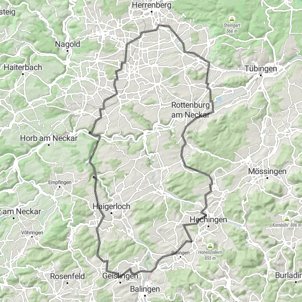
Map
Get ready for an epic journey starting near Geislingen on this 100-km road cycling route. Challenge yourself with demanding climbs, and be rewarded with breathtaking vistas and notable highlights.
road
100 km
1169 m
Tough
Route profile
Highlights on the route
0 km
0 km
Start: Geislingen City centerGeislingen: Exploring the rolling hills of Geislingen, Tübingen's hidden gem
Geislingen is a small locality located in the Tübingen region of Germany. From a cyclist's point of view, Geislingen offers a mix of paved and gravel roads, providing varied terrain for road and gravel cycling enthusiasts. The area is characterized by rolling hills and rural landscapes, making it ideal for scenic rides. One of the notable cycling-related spots nearby is the Lichtenstein Castle, which not only offers a historical attraction but also provides stunning views of the surrounding landscapes. Cyclists visiting Geislingen can also explore the Swabian Alb region, known for its renowned cycling trails and challenging climbs. Overall, Geislingen is a great destination for cyclists looking for beautiful scenery and diverse riding opportunities.9 km
9 km
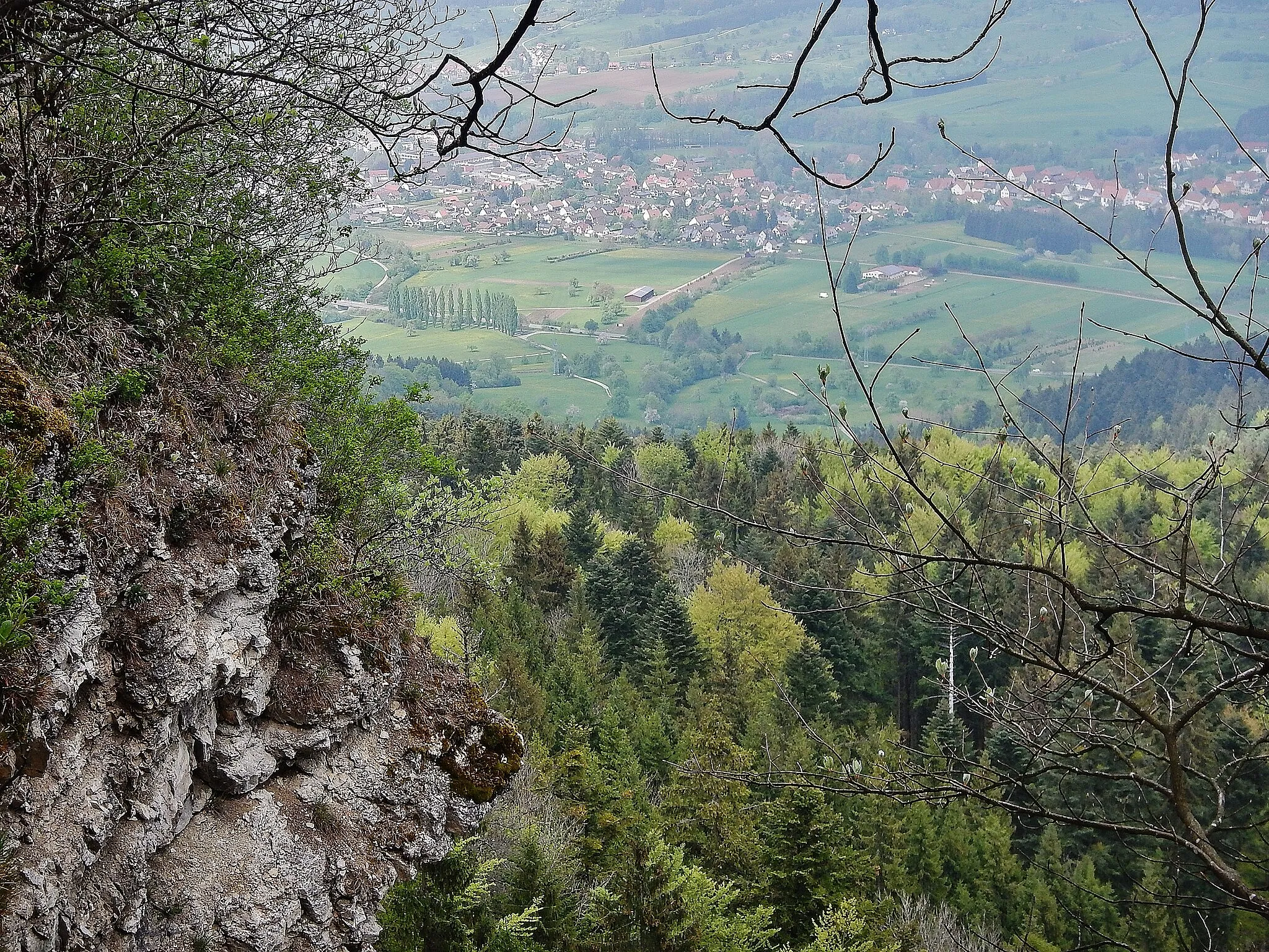
GruolSub-urbPass through Gruol, a picturesque village nestled amidst rolling green hills and quaint half-timbered houses.
32 km
32 km
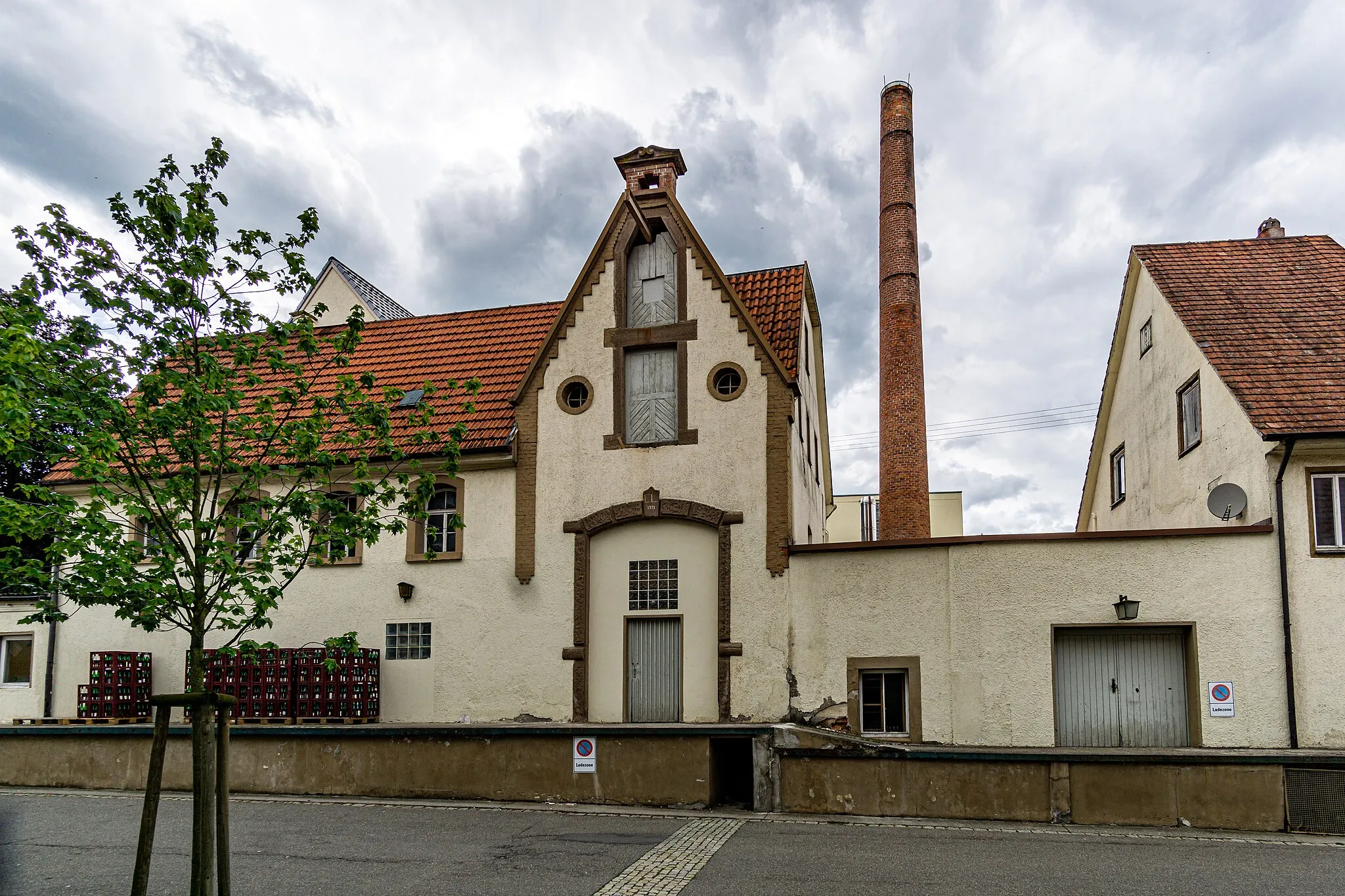
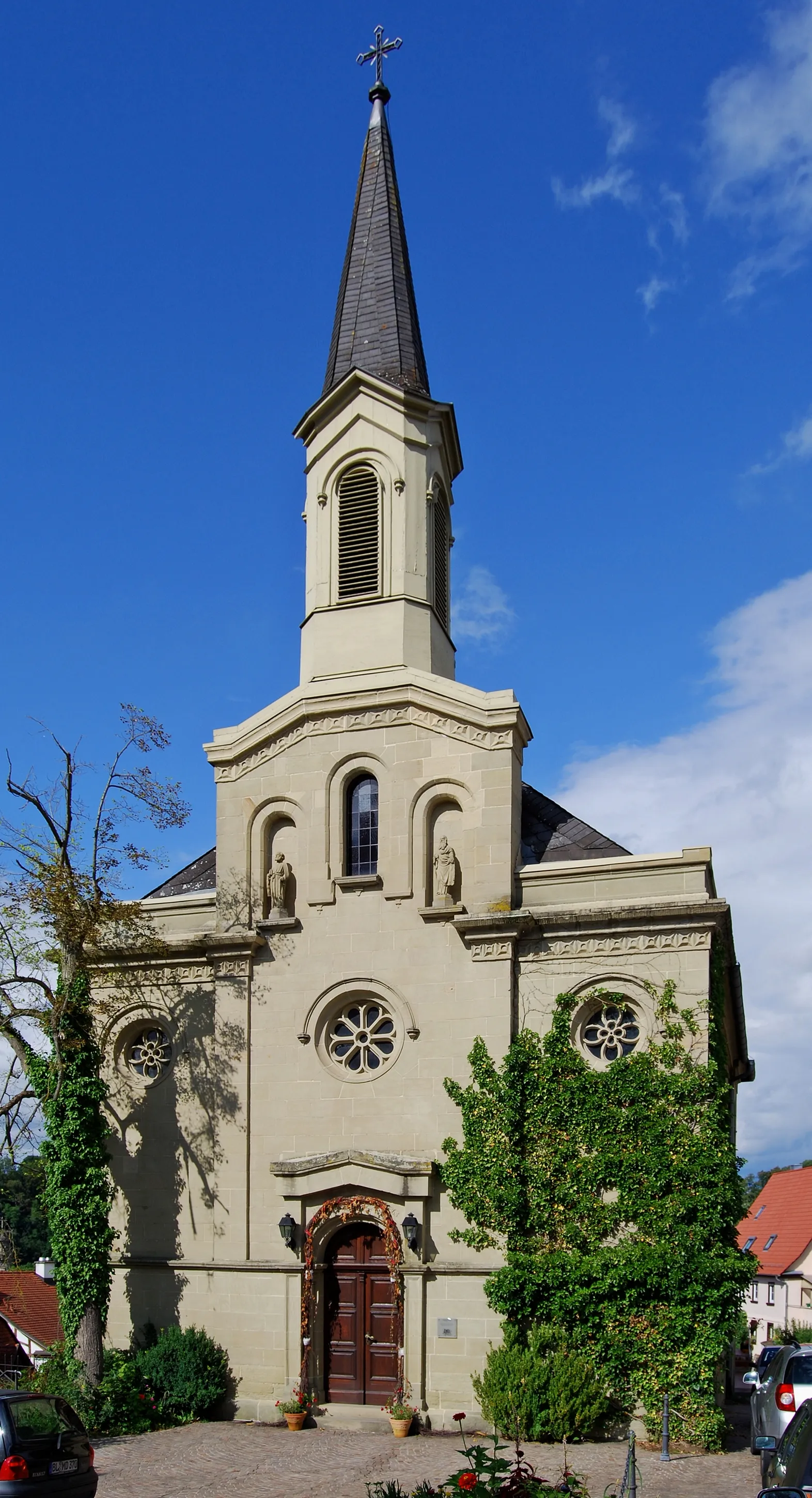
ErgenzingenVillageExplore Ergenzingen and soak in the tranquil ambiance of this charming village known for its idyllic rural landscapes.
33 km
33 km
Keltengrab Baisinger BühlViewpointDiscover the Keltengrab Baisinger Bühl, an ancient archaeological site offering insights into the region's Celtic heritage.
50 km
50 km
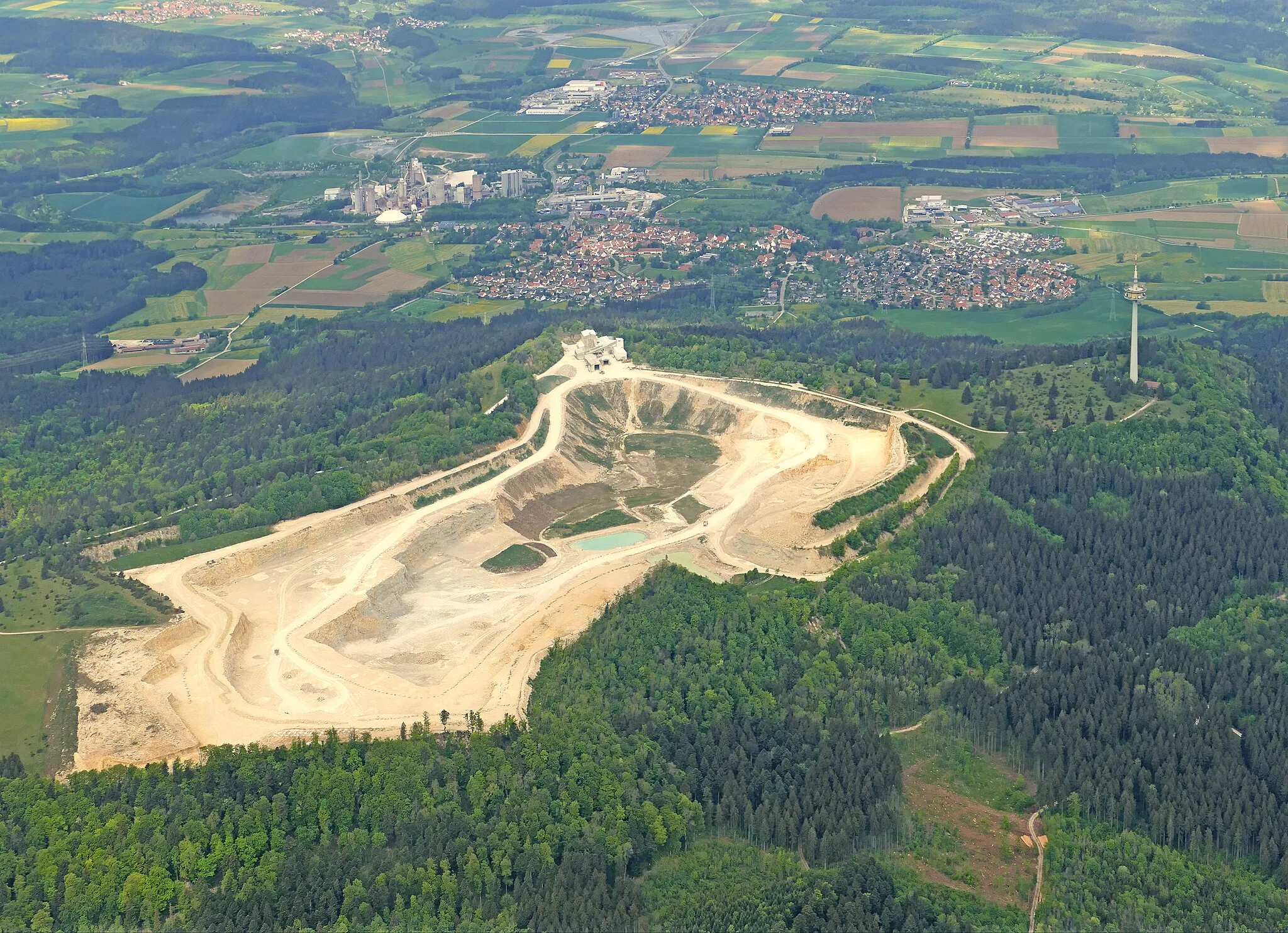
KochhartgrabenViewpointRide through Kochhartgraben, a scenic valley boasting stunning rock formations and tranquil nature.
52 km
52 km
PoltringenVillagePass by Poltringen, a village known for its centuries-old vineyards that cover the picturesque slopes.
73 km
73 km
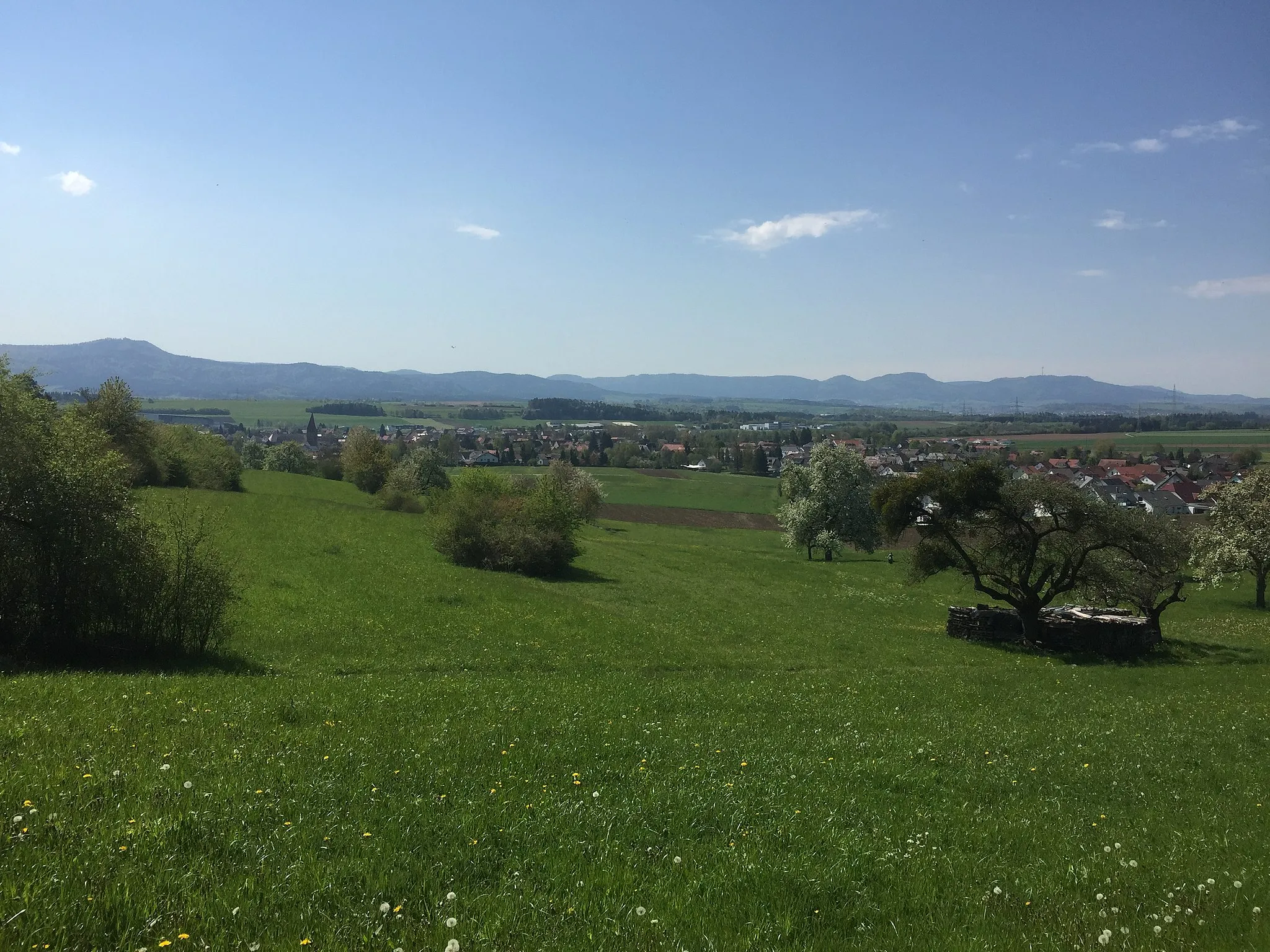
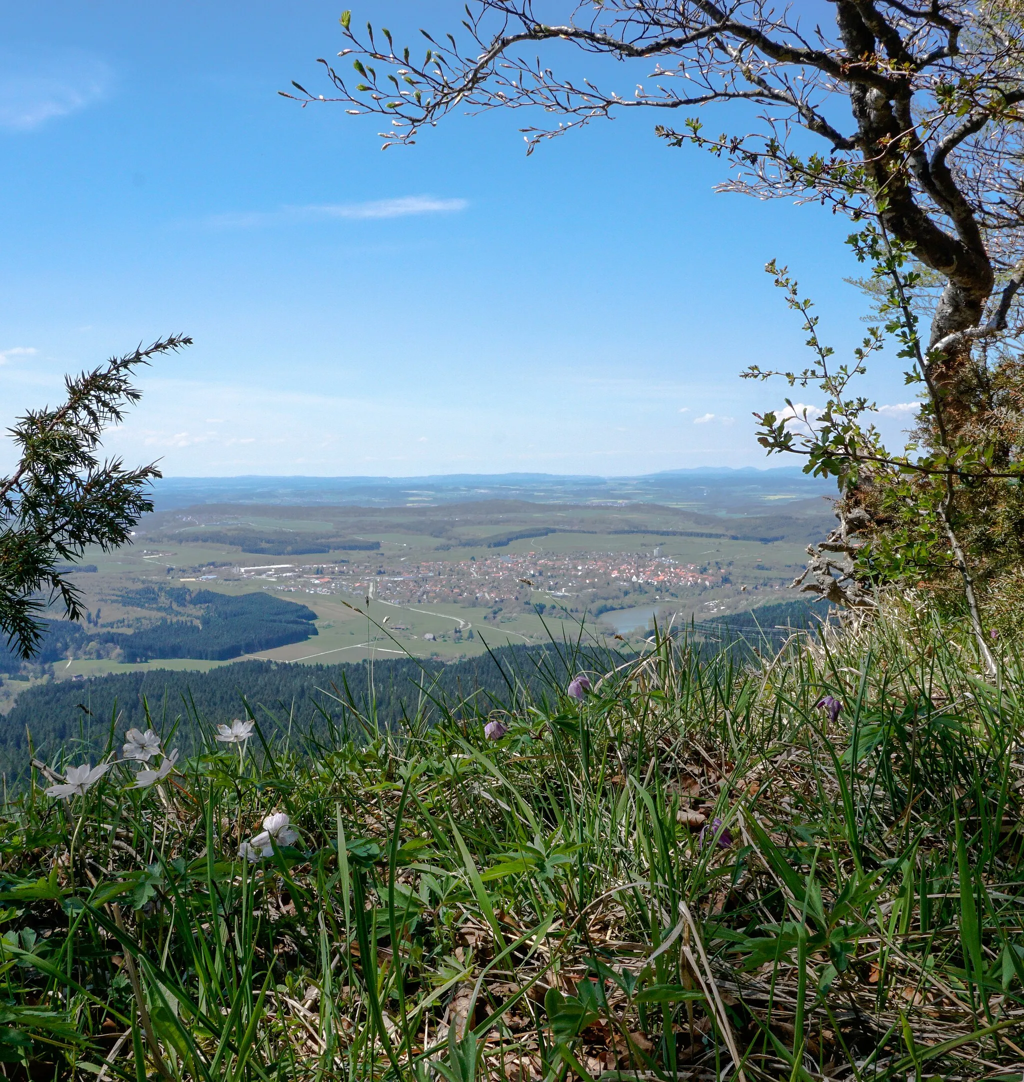
Hohenstöffel529 mPeakCycle up the challenging Hohenstöffel, a rewarding climb that treats you to magnificent views of the Swabian Alb.
76 km
76 km
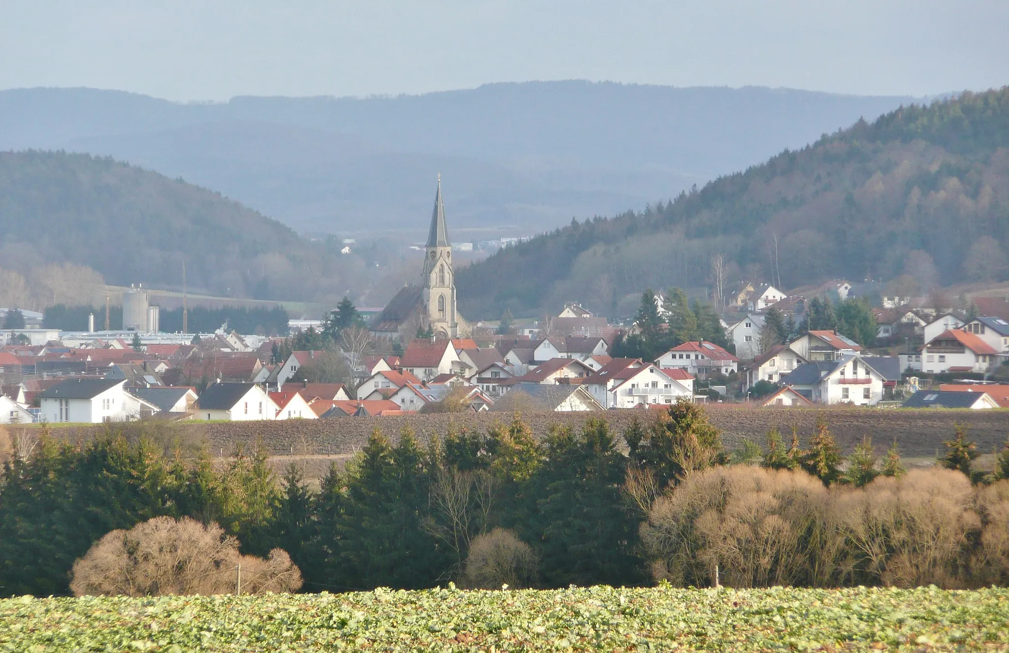
BodelshausenVillageDon't miss Bodelshausen, a charming destination where you can explore its historical origins and admire the local architecture.
91 km
91 km
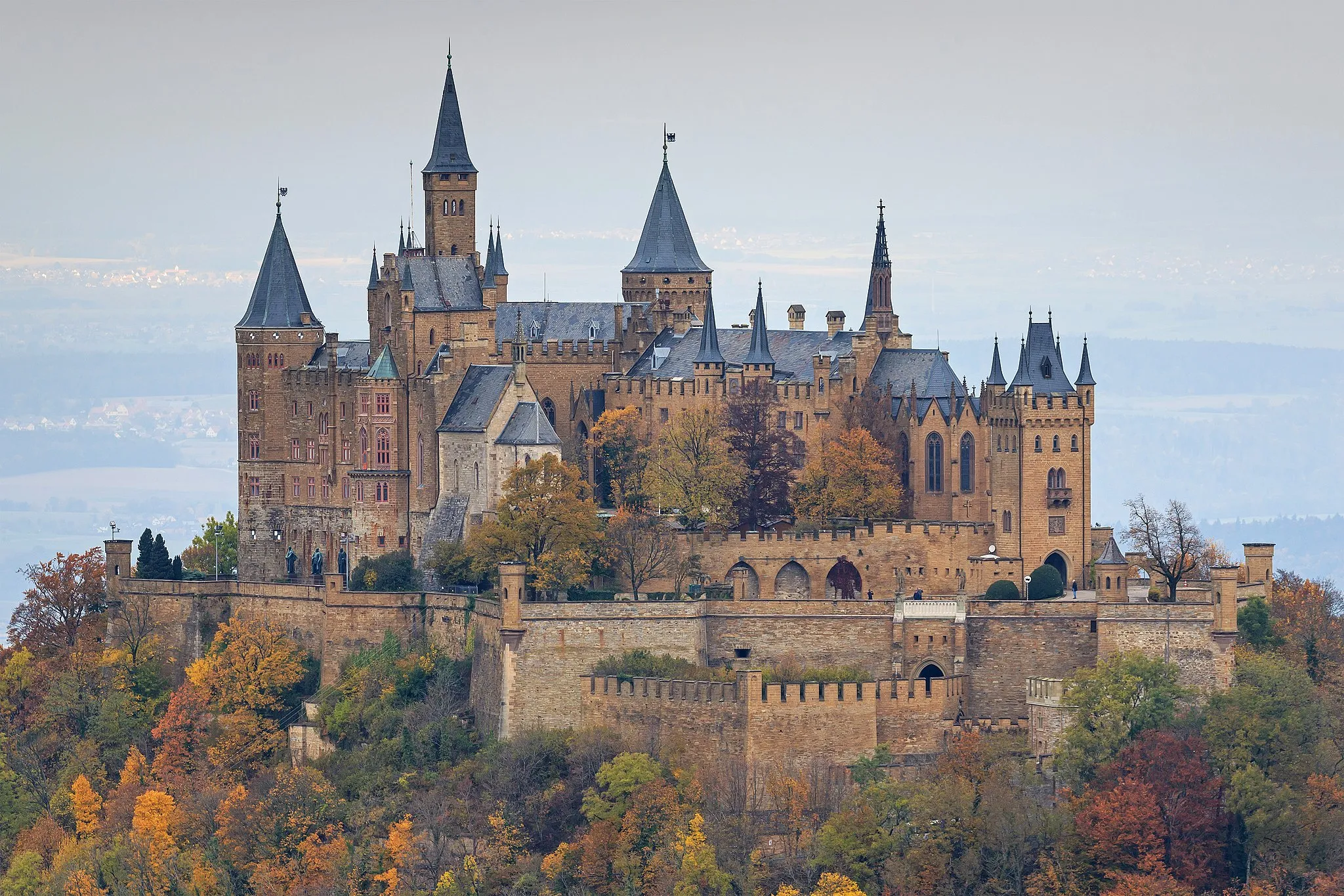
BisingenVillageArrive at Bisingen and take in the breathtaking panoramas from the iconic Hohenzollern Castle atop the nearby hill.
94 km
94 km
Netzenberg561 mPeakConclude your journey with a visit to Netzenberg, a vantage point offering stunning views over the surrounding landscapes.
100 km
100 km
Finish: Geislingen City centerGeislingen: Exploring the rolling hills of Geislingen, Tübingen's hidden gem
Cycling routes from Geislingen:
Cycling routes nearby: