Explore the Countryside Around Gerolzhofen
A road cycling route starting from Gerolzhofen
Uncover the stunning countryside surrounding Gerolzhofen on this scenic road route.
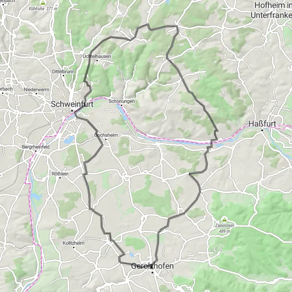
Map
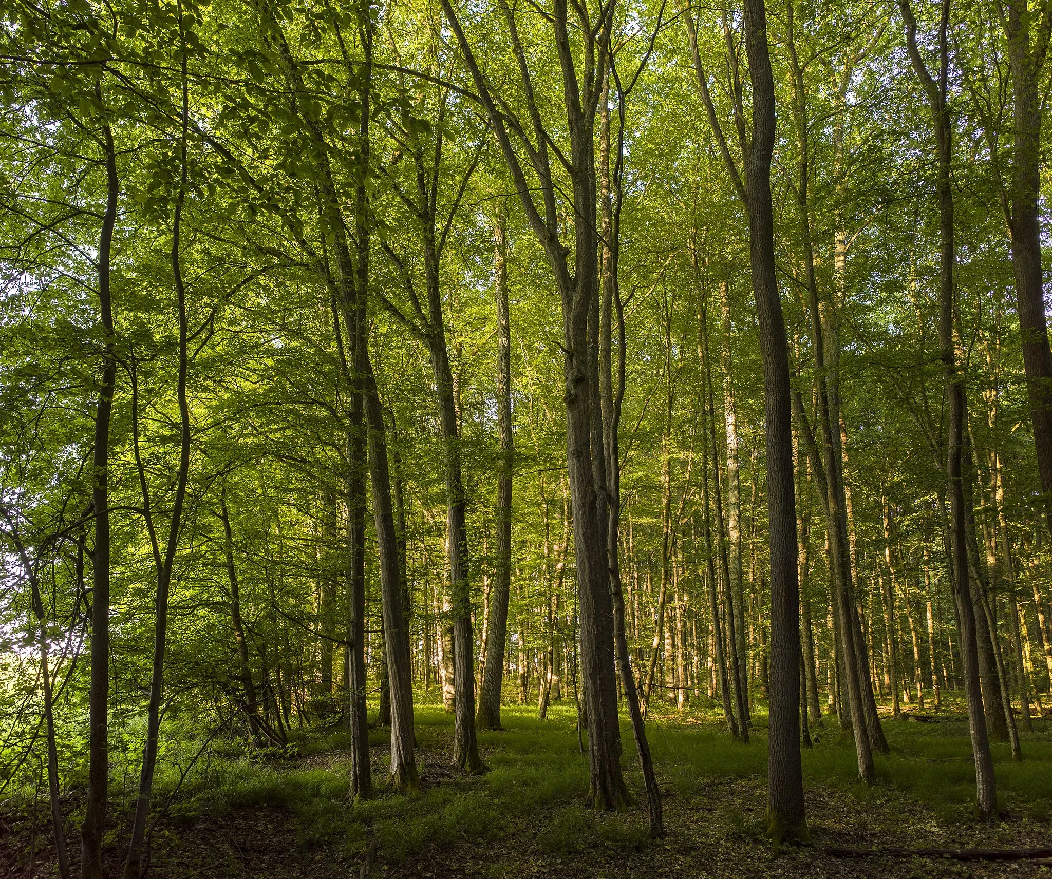
This road route allows you to uncover the stunning countryside surrounding Gerolzhofen while exploring picturesque villages along the way. With a good balance of climbs and descents, this route offers a satisfying challenge for amateur riders and rewards them with beautiful landscapes and historical sights. The route takes you through idyllic farmland, enchanting forests, and charming towns, showcasing the diverse and captivating nature of the region. Cyclists will be treated to breathtaking views from various vantage points and can enjoy breaks in cozy cafes and restaurants along the route.
road
76 km
559 m
Tough
Route profile
Highlights on the route
0 km
0 km
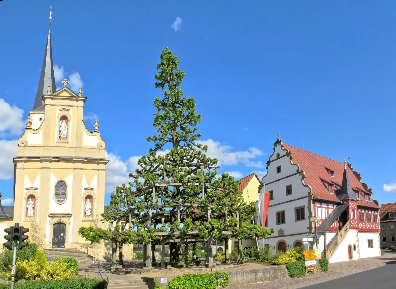
Start: Gerolzhofen City centerGerolzhofen: Picturesque Countryside and Relaxing Rides in Gerolzhofen, Unterfranken
Gerolzhofen is a locality in Unterfranken, Germany. As a cyclist, you'll find a mix of scenic rural roads and well-maintained cycling paths in the surrounding area. The region offers gentle rolling hills, providing a comfortable cycling experience for riders of all levels. Gerolzhofen itself is a picturesque town with cyclist-friendly amenities, such as bike racks and repair stations. Notable cycling routes nearby include the Steigerwald Panoramaweg, which offers beautiful views of the Franconian wine country. Overall, Gerolzhofen is a pleasant location for road and gravel cyclists seeking a relaxed and enjoyable ride.10 km
10 km
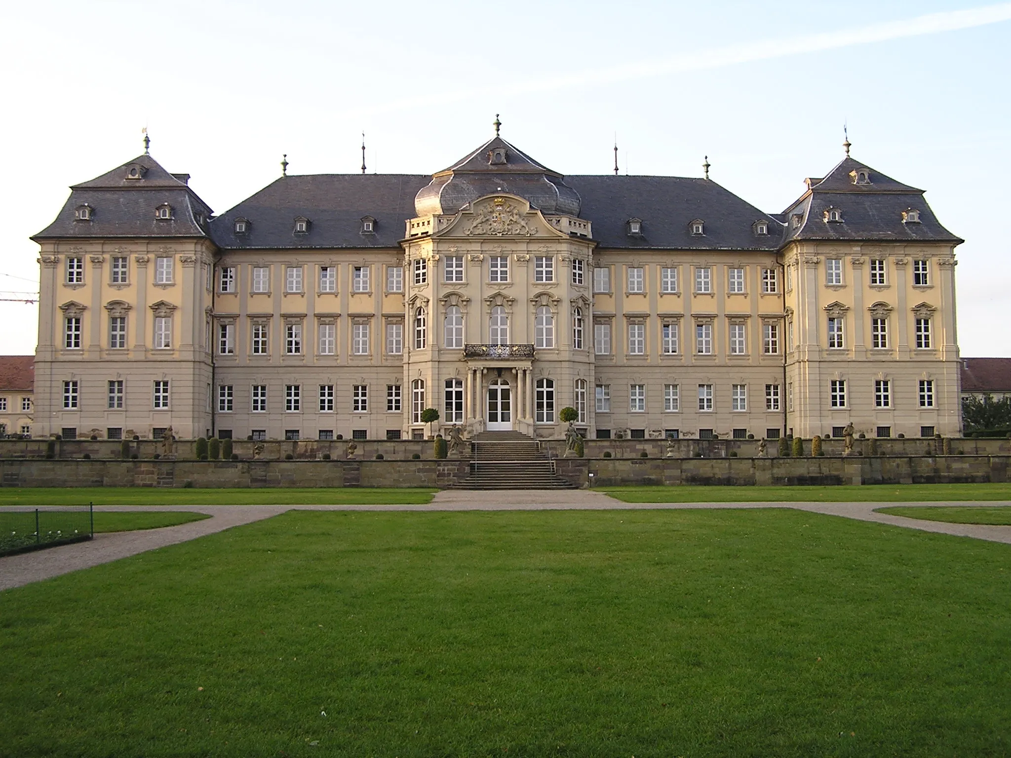
OberspiesheimVillageOberspiesheim is a small village rich in history and renowned for its welcoming locals.
16 km
16 km
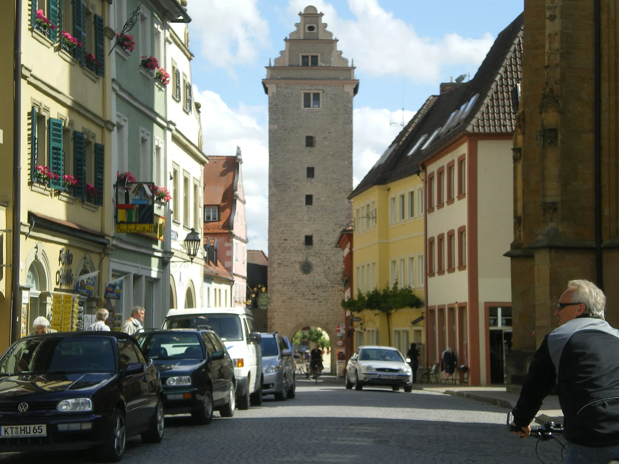
Aussichtsturm am SchuttplatzViewpointThe Aussichtsturm am Schuttplatz offers panoramic views of the Franconian wine country, including the distant rolling hills and Monterosso Castle.
26 km
26 km
BeerhüterturmViewpointBeerhüterturm is a lookout tower that provides stunning views of the surrounding landscape and a great spot for a picnic.
26 km
26 km
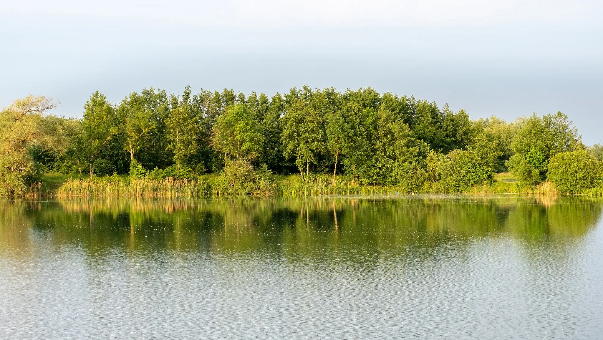
HöllentalSub-urbHöllental is a scenic valley lined with dense forests and tranquil creeks, offering serene moments in nature.
43 km
43 km
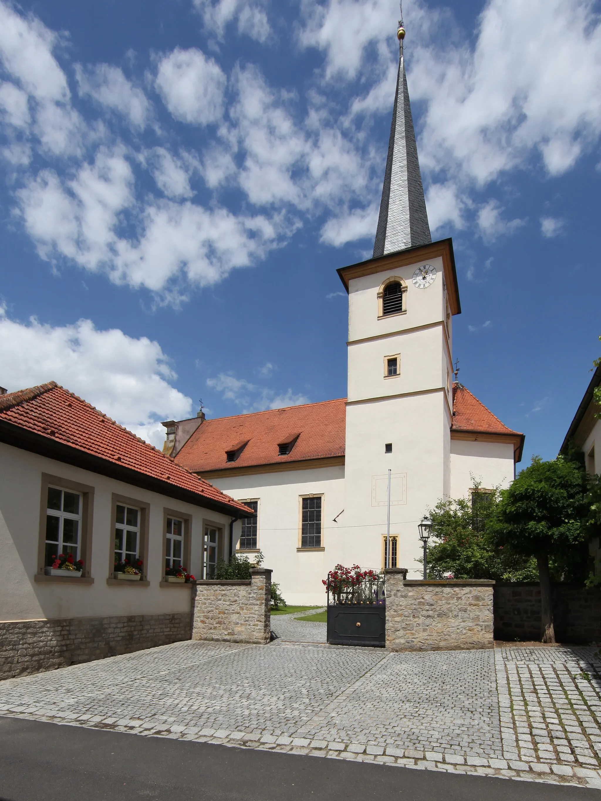
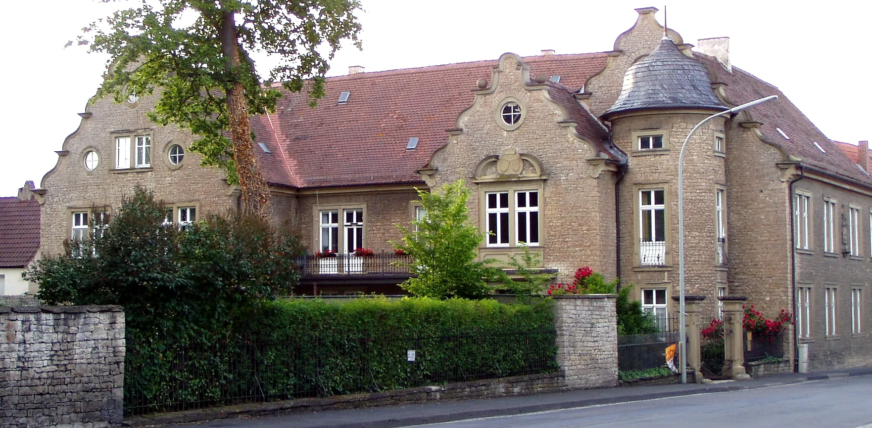
ReichmannshausenVillageReichmannshausen charms visitors with its unique half-timbered houses and traditional Franconian hospitality.
52 km
52 km
Buchner Höhe 405,8mViewpointBuchner Höhe is a notable peak that offers panoramic views over Gerolzhofen and the surrounding countryside.
59 km
59 km
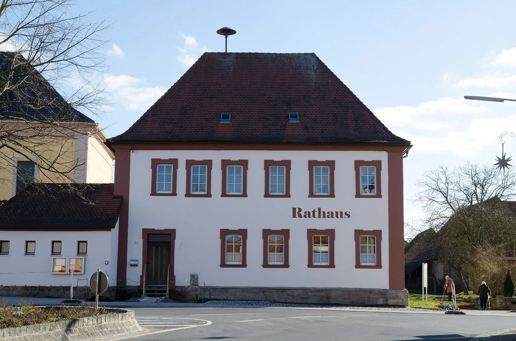
HorhausenVillageHorhausen is a serene village surrounded by vast meadows, ideal for a peaceful respite during your cycling adventure.
70 km
70 km
Eichelberg301 mPeakEichelberg offers splendid views of the Main Valley, providing an excellent opportunity for stunning photos.
71 km
71 km
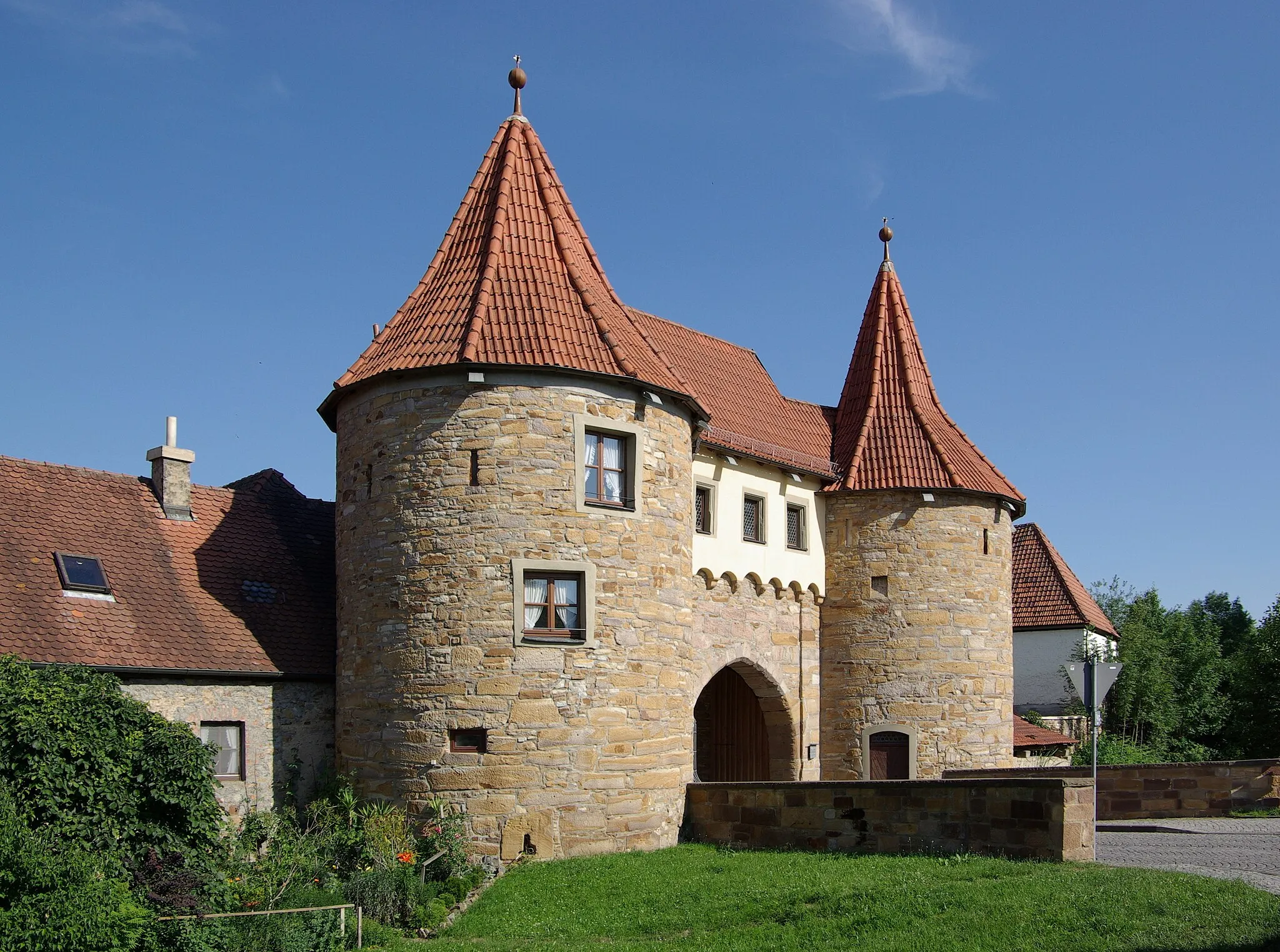
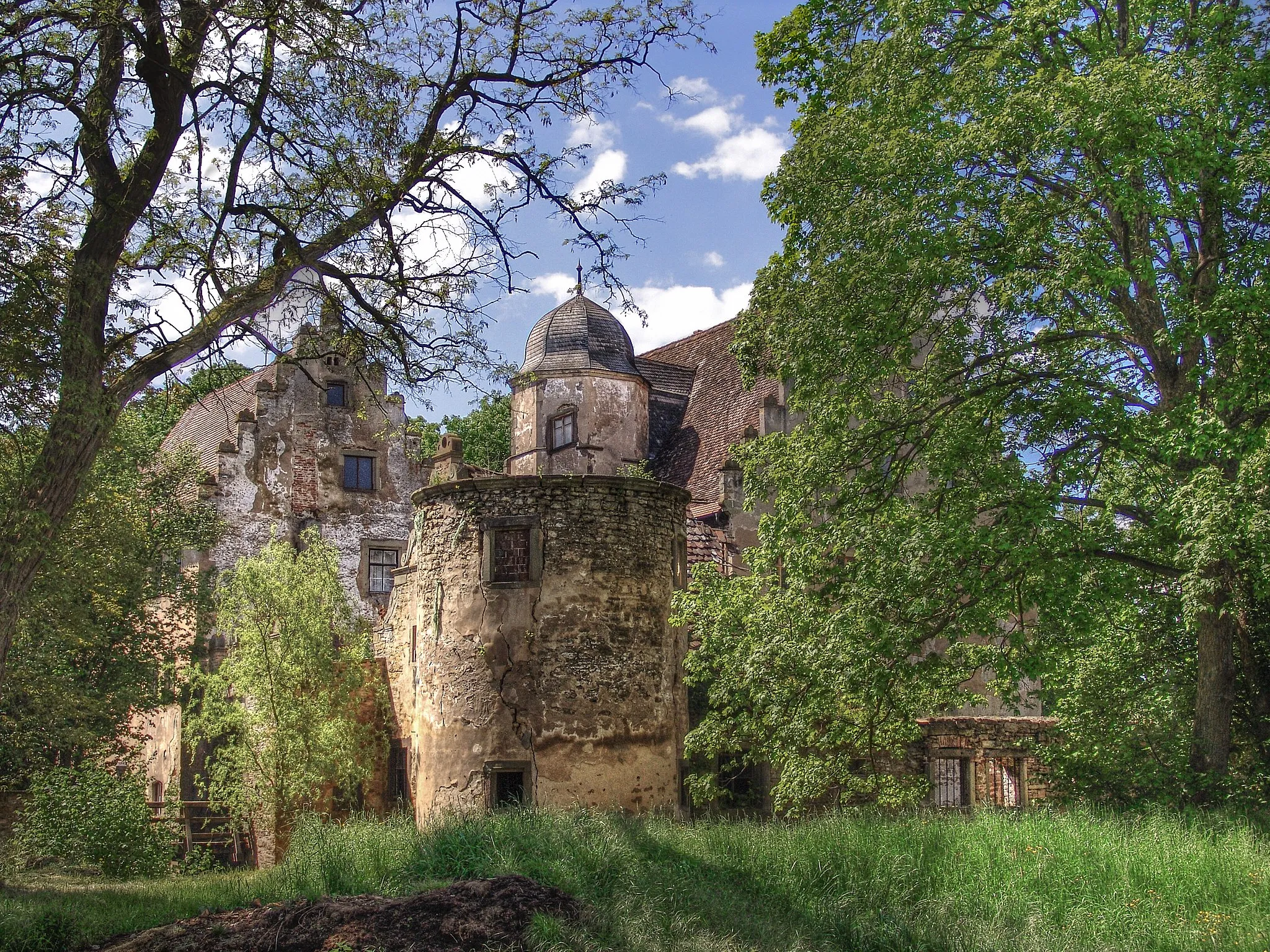
MönchstockheimVillageMönchstockheim showcases the harmonious coexistence of modernity and tradition, with quaint houses and historic landmarks.
76 km
76 km
Finish: Gerolzhofen City centerGerolzhofen: Picturesque Countryside and Relaxing Rides in Gerolzhofen, Unterfranken
Cycling routes from Gerolzhofen:
Epic Gravel Adventure from Gerolzhofen Gravel Adventure from Gerolzhofen to Dingolshausen Gravel Adventure from Gerolzhofen to Dingolshausen Scenic Journey through Unterfranken Challenging Road Journey Around Gerolzhofen Unterfranken Gravel Adventure Explore the Countryside Around Gerolzhofen Epic Road Cycling Route from Gerolzhofen to Taubenherd Scenic Gravel Cycling Adventure from Gerolzhofen to Michelau i.Steigerwald Challenging Road Cycling Adventure from Gerolzhofen to Neuses am Sand
Cycling routes nearby: