Gravel Cycling Route in Kahl am Main
A gravel cycling route starting from Kahl am Main
Embrace the adventure on this gravel cycling route
Map
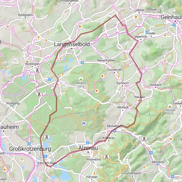
Embark on an adventurous gravel cycling route through the beautiful landscapes near Kahl am Main. Covering 46 kilometers with an ascent of 392 meters, this route provides a moderate challenge for gravel enthusiasts. Discover the scenic beauty of Niederrodenbach, enjoy the views from the Langenselbold lookout point, and explore the picturesque Weinberg area. Capture the tranquility of Niedermittlau's surroundings, admire the Freigerichter Bucht viewpoint, and soak in the charm of Alzenau. Don't miss the opportunity to cross the Kahlauensteg bridge, offering breathtaking scenery and enhancing your gravel cycling experience.
gravel
46 km
392 m
Tough
Route profile
Highlights on the route
0 km
0 km
Start: Kahl am Main Village centerKahl am Main: Cycling Paradise in Kahl am Main
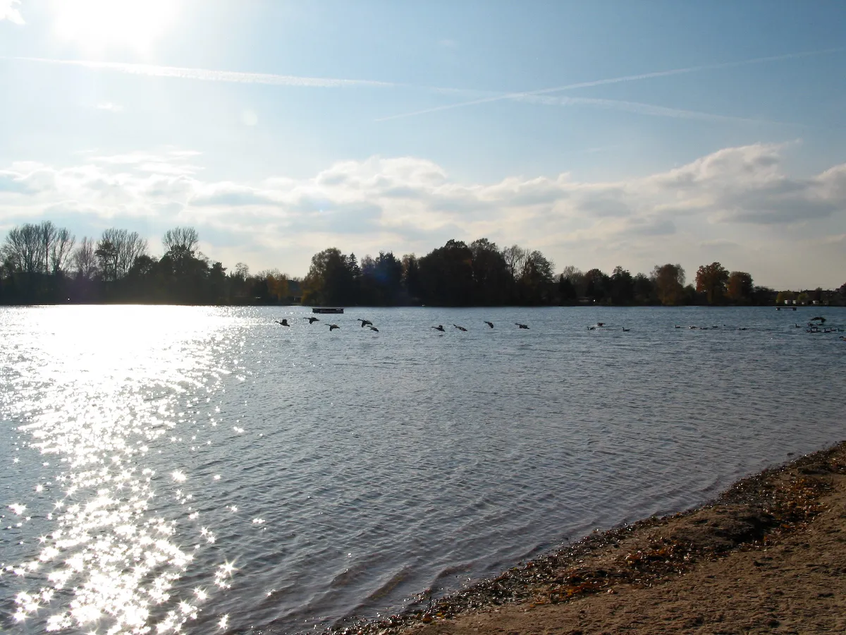
Kahl am Main in Unterfranken, Germany, is a cyclist's paradise. The locality offers a mix of flat and hilly terrain, making it suitable for cyclists of all levels. Cyclists can enjoy scenic rides along the Main River or venture into the surrounding hills for more challenging routes. Kahl am Main is also home to several well-known cycling events, such as the annual Main-Spessart Cycle Marathon. With its cycling-friendly infrastructure and beautiful landscapes, Kahl am Main is a popular destination for road and gravel cyclists.9 km
9 km
NiederrodenbachVillageExperience the scenic beauty of Niederrodenbach and its natural surroundings.
15 km
15 km
LangenselboldTownTake in the panoramic views from the Langenselbold lookout point and admire the surrounding landscapes.
17 km
17 km
Weinberg200 mPeakDiscover the picturesque Weinberg area and appreciate its tranquil charm.
26 km
26 km
NiedermittlauVillageExplore the peaceful surroundings of Niedermittlau and enjoy the beauty of nature.
31 km
31 km
Aussichtspunkt "Freigerichter Bucht"ViewpointAdmire the scenic vistas offered by the Freigerichter Bucht viewpoint.
41 km
41 km
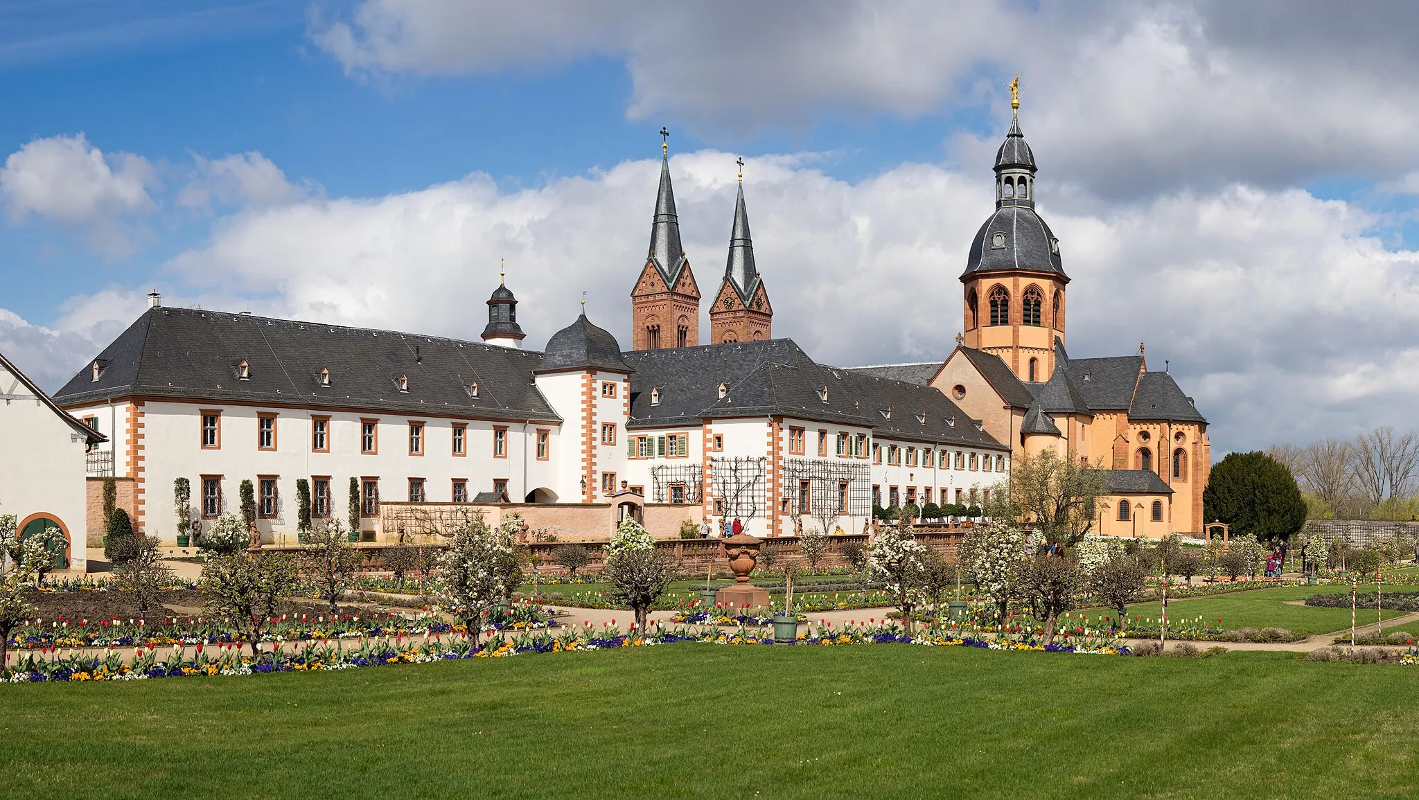
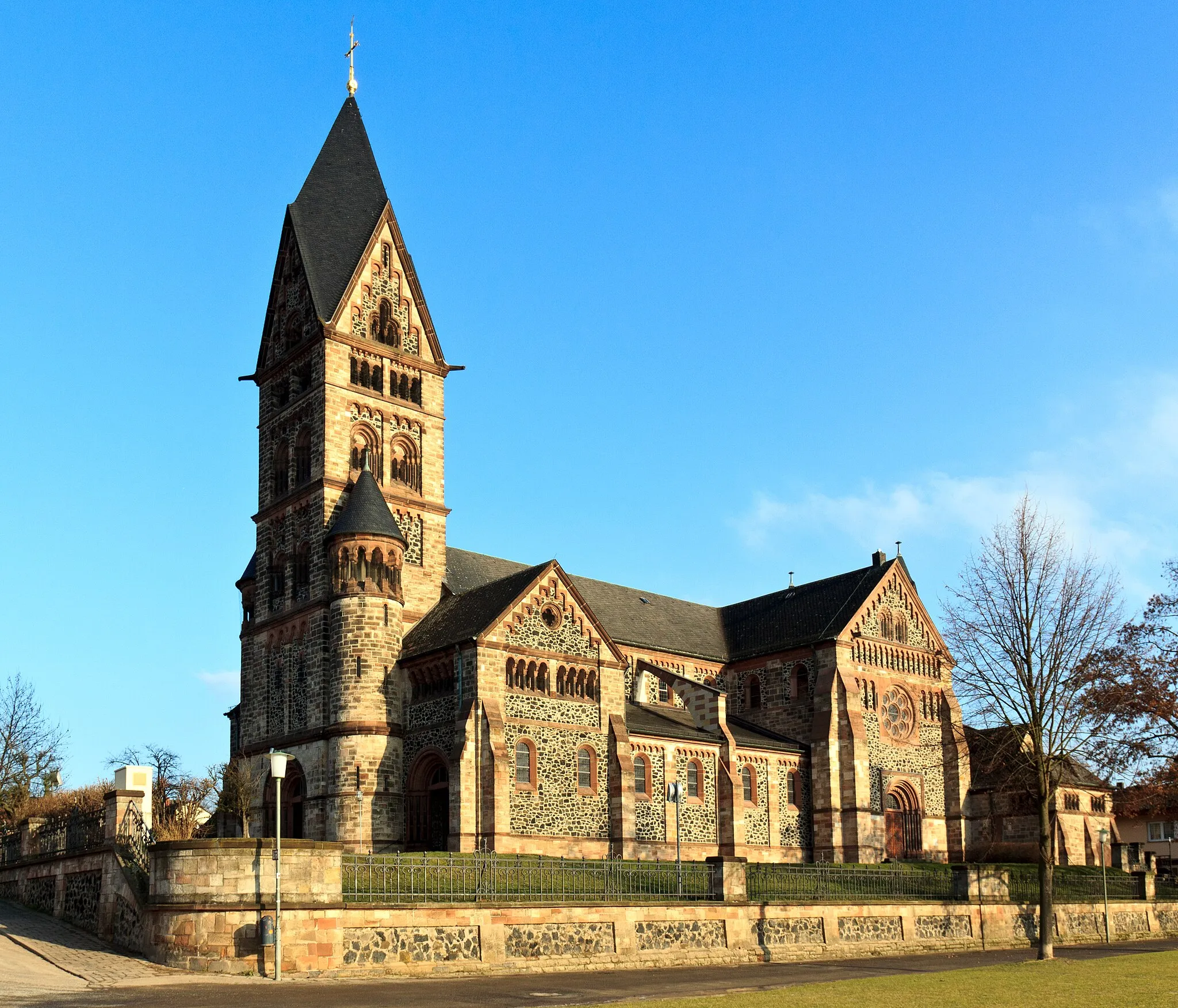
AlzenauTownImmerse yourself in the history and charm of Alzenau, a town filled with cultural heritage.
42 km
42 km
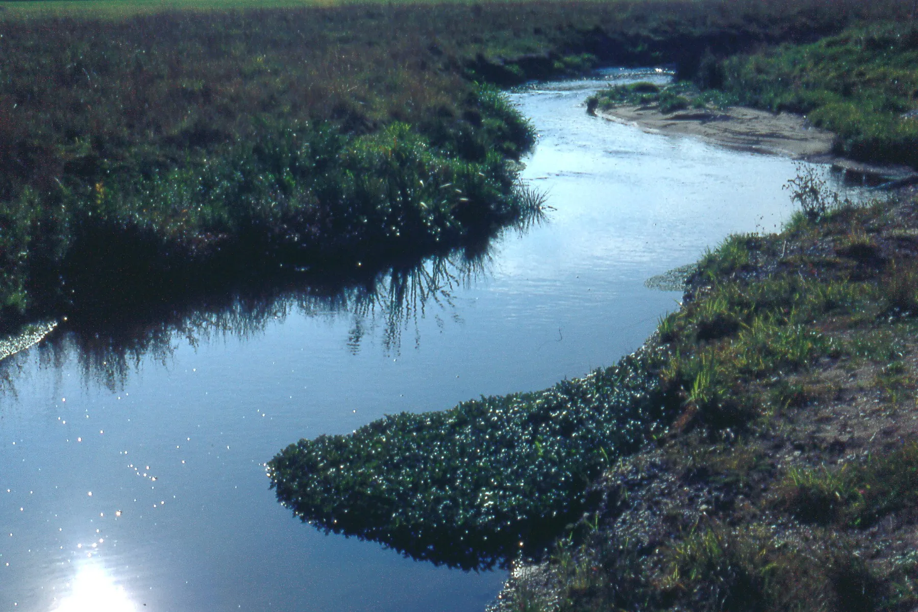
KahlauenstegViewpointCross the Kahlauensteg bridge and savor the breathtaking views of the river and its surroundings.
46 km
46 km
Finish: Kahl am Main Village centerKahl am Main: Cycling Paradise in Kahl am Main
Cycling routes from Kahl am Main:
Countryside Gravel Journey Gravel Adventure Route Around Kahl am Main Scenic Road Cycling Route in Kahl am Main Scenic Gravel Route to Wasserbüffel Spectacular Gravel Cycling Route near Kahl am Main Unterfranken Road Cycling Adventure Scenic Road Ride to Historical Towns Long Distance Road Cycling Route from Kahl am Main Gravel Cycling Route in Kahl am Main Challenging Road Cycling Route in Kahl am Main Großwelzheim and Rodgau Gravel Loop Obertshausen and Wachenbuchen Road Loop
Cycling routes nearby: