Sulzfeld Road Loop
A road cycling route starting from Kitzingen
An exciting road loop with beautiful scenery
Map

This road loop near Kitzingen offers a delightful mix of countryside views and charming villages. With a total distance of 65 kilometers and an ascent of 592 meters, this route is suitable for well-trained amateur cyclists. The highlights along the way include Sulzfeld am Main, with its picturesque architecture, and Ochsenfurt, known for its historic medieval town center. Giebelstadt, Geroldshausen, and Albertshauser Höhe offer impressive landscapes and stunning viewpoints. The Buchbrunn and Aussichtspunkt Winterhafendamm highlight spots provide panoramic views, making this route perfect for those who appreciate natural beauty.
road
65 km
592 m
Tough
Route profile
Highlights on the route
0 km
0 km
Start: Kitzingen City centerKitzingen: A wine lover's cycling paradise in Unterfranken, Germany.
Kitzingen, a town in Unterfranken, Germany, is a cyclist's paradise. Its well-paved roads and breathtaking scenery make it ideal for road and gravel cycling. The region is known for its wine production and the local vineyards offer stunning views during a cycling tour. Additionally, Kitzingen is located near several famous cycling spots, including the Karwendel Mountain Range and the Danube River. Cyclists visiting this area can expect a challenging yet rewarding experience as they ride through the picturesque landscapes.3 km
3 km
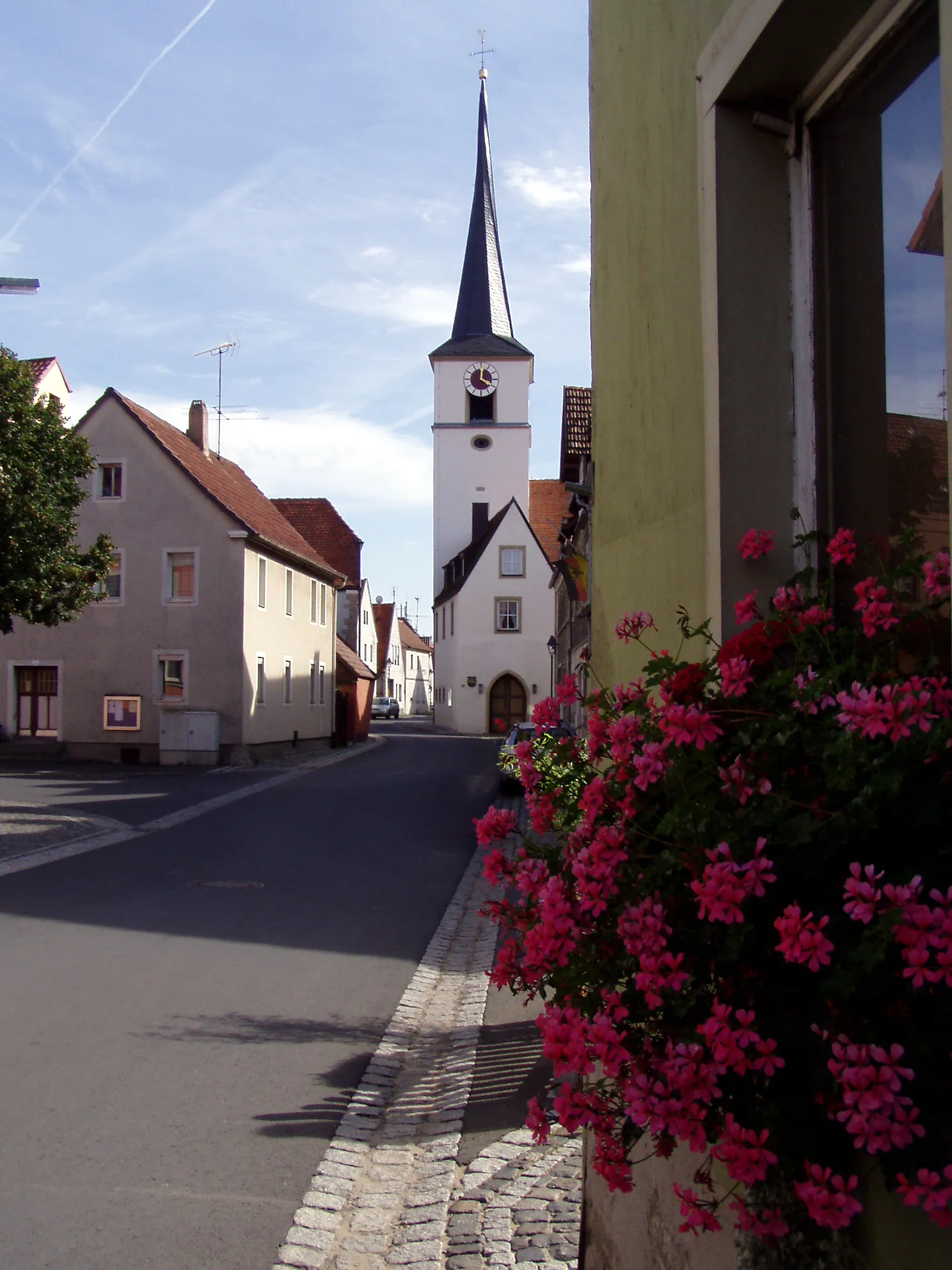
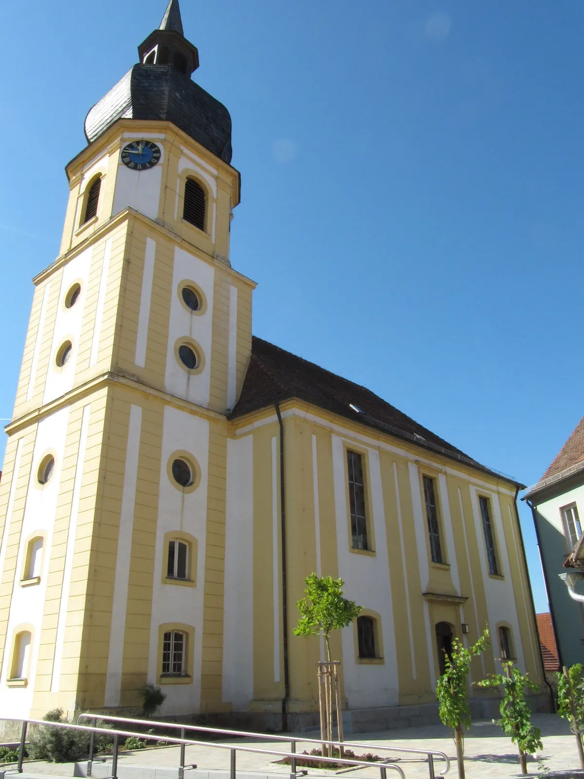
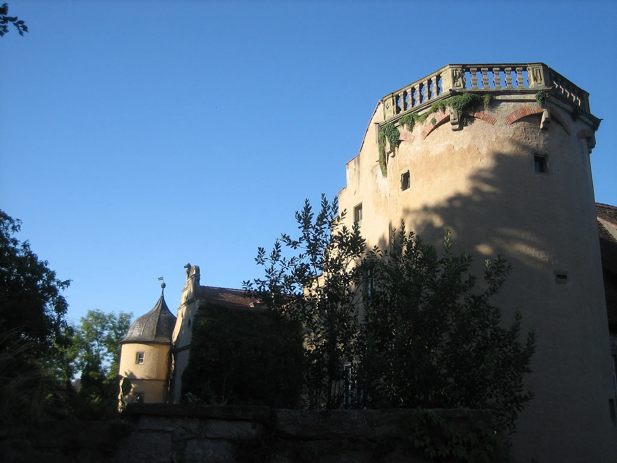
Sulzfeld am MainVillageAlong the route, you will pass through Sulzfeld am Main, a quaint village with beautiful traditional buildings and a charming atmosphere.
13 km
13 km
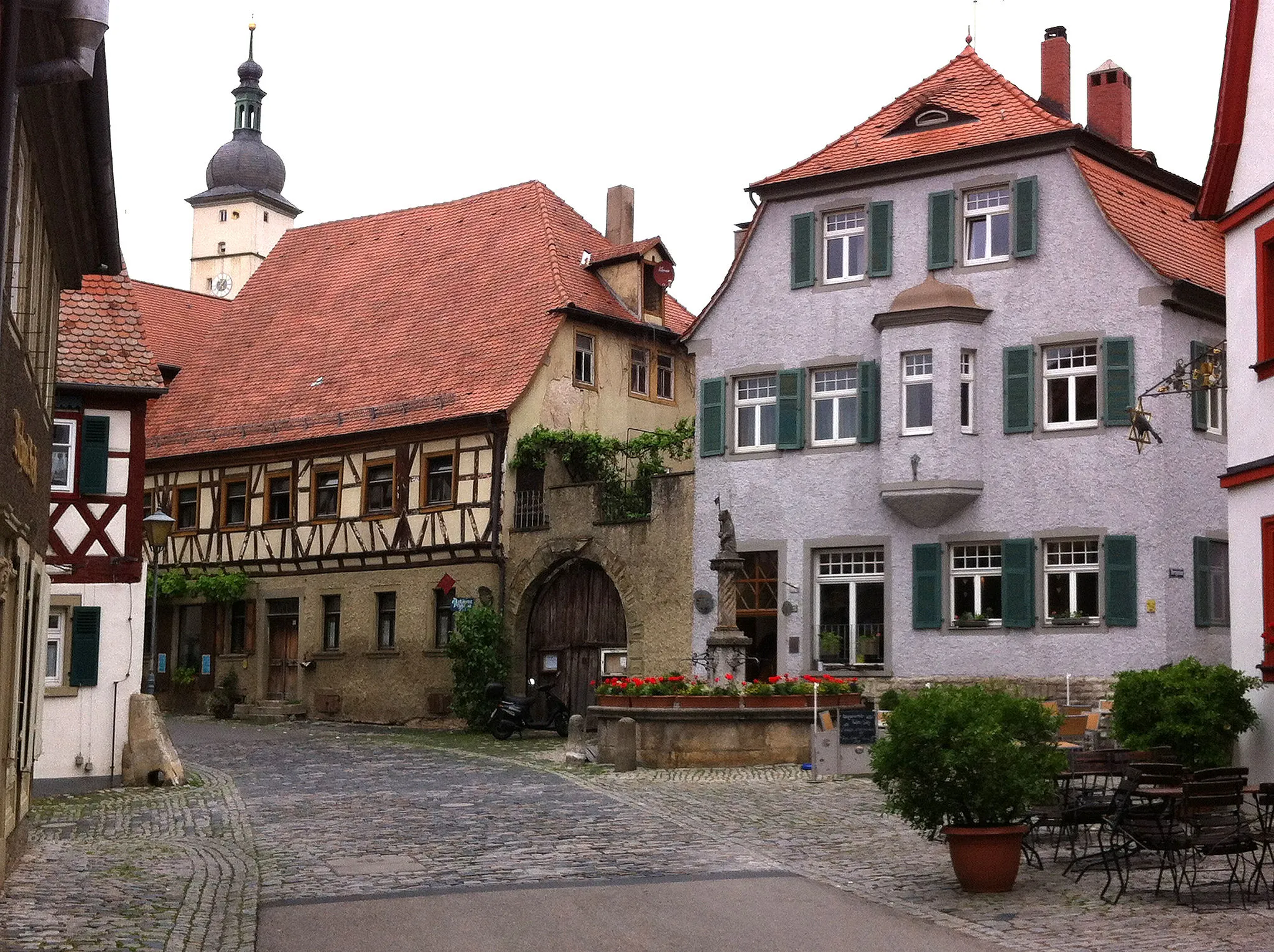
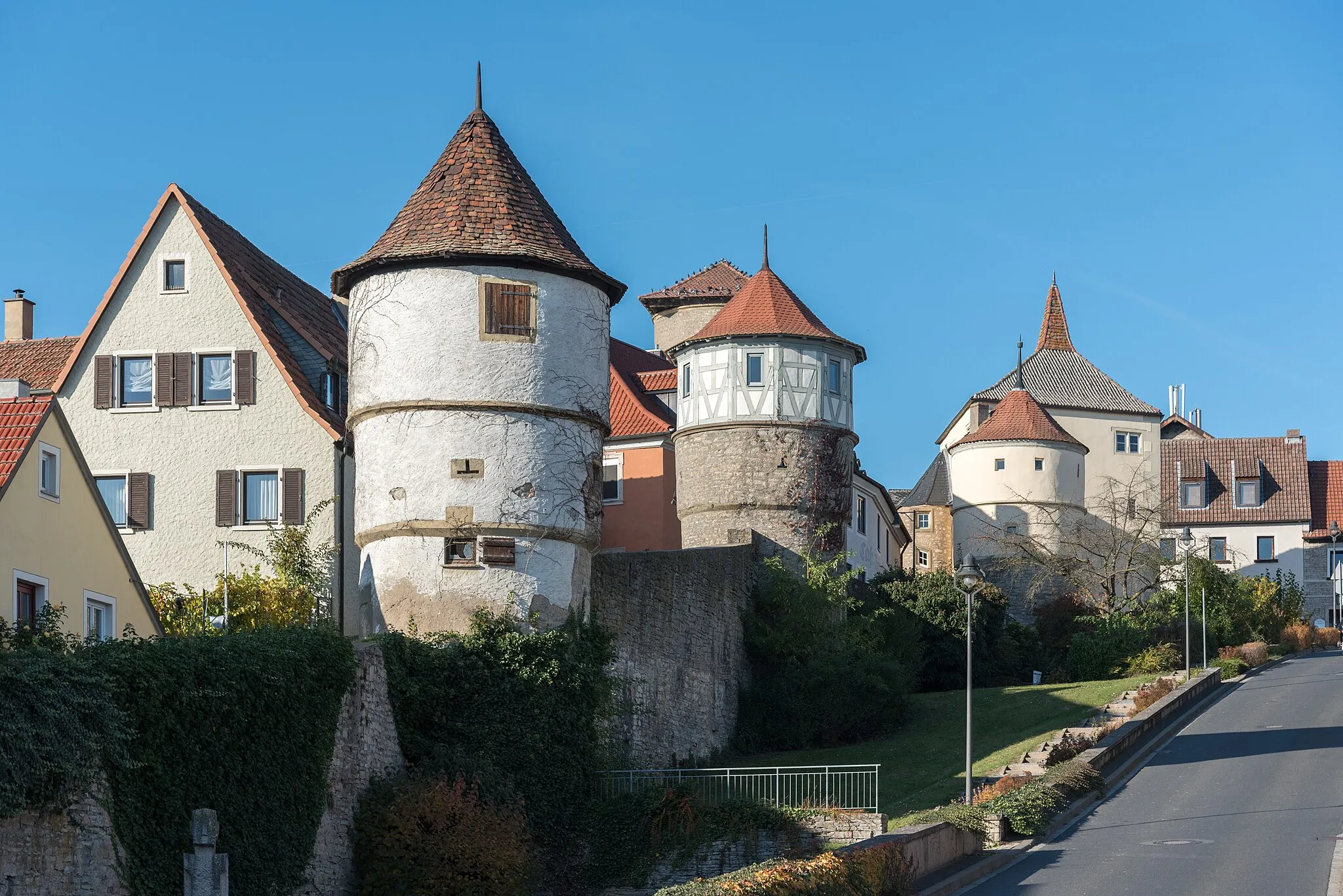
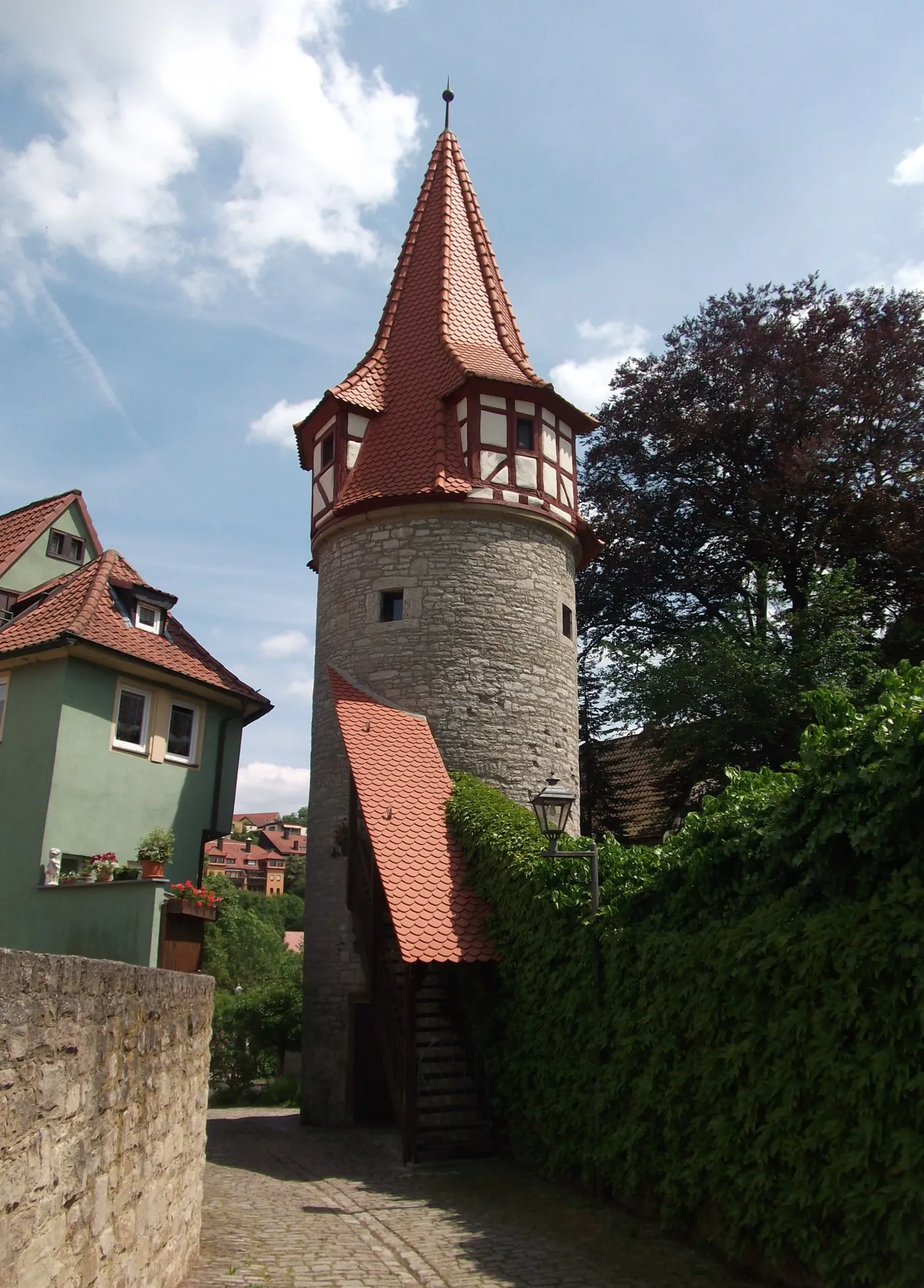
OchsenfurtTownMake a stop in Ochsenfurt to explore its medieval town center and admire the historic architecture.
23 km
23 km
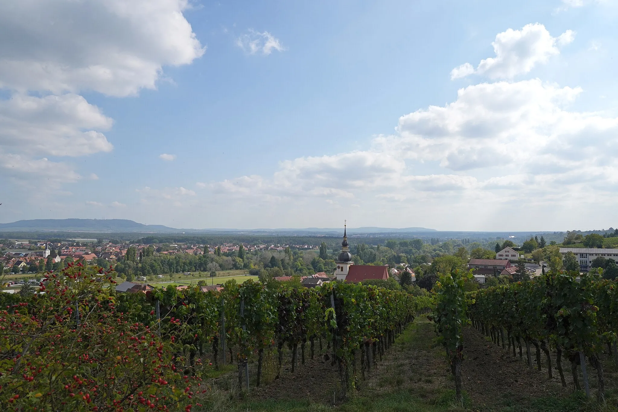
GiebelstadtVillageGiebelstadt offers cyclists stunning views of the surrounding countryside that make the ascent worth the effort.
34 km
34 km
GeroldshausenVillageGeroldshausen is a scenic spot with lovely landscapes, providing a peaceful and serene atmosphere for a cycling break.
34 km
34 km
Albertshauser Höhe329 mPeakCycling up to Albertshauser Höhe rewards you with a breathtaking view of the region's rolling hills and vineyards.
46 km
46 km
Hoher Bug279 mPeakAt Hoher Bug, cyclists can enjoy panoramic views of the Main river and the lush green landscapes dotted with charming villages.
52 km
52 km
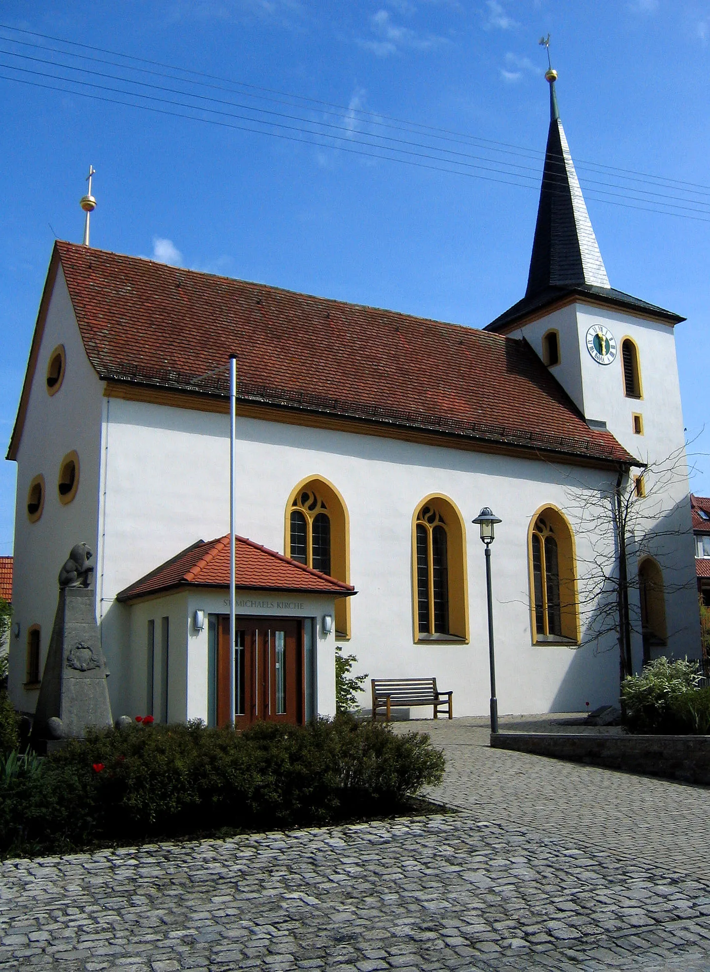
TheilheimVillageTheilheim offers a pleasant rest stop with its picturesque surroundings and idyllic atmosphere.
61 km
61 km
BuchbrunnVillageBuchbrunn is a quiet village nestled in a beautiful natural setting, providing a relaxing stop for cyclists.
64 km
64 km
Aussichtspunkt WinterhafendammViewpointThe Aussichtspunkt Winterhafendamm viewpoint provides stunning vistas over the Main river and its surroundings.
65 km
65 km
Finish: Kitzingen City centerKitzingen: A wine lover's cycling paradise in Unterfranken, Germany.
Cycling routes nearby: