Hidden gem for scenic cycling routes amidst vineyards.
Cycling routes from Rodelsee
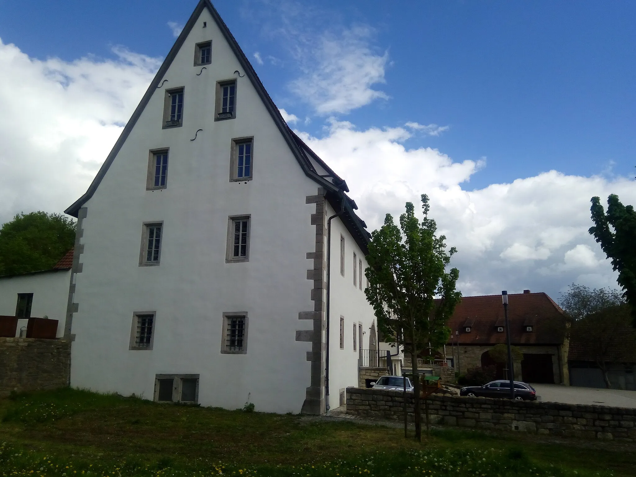
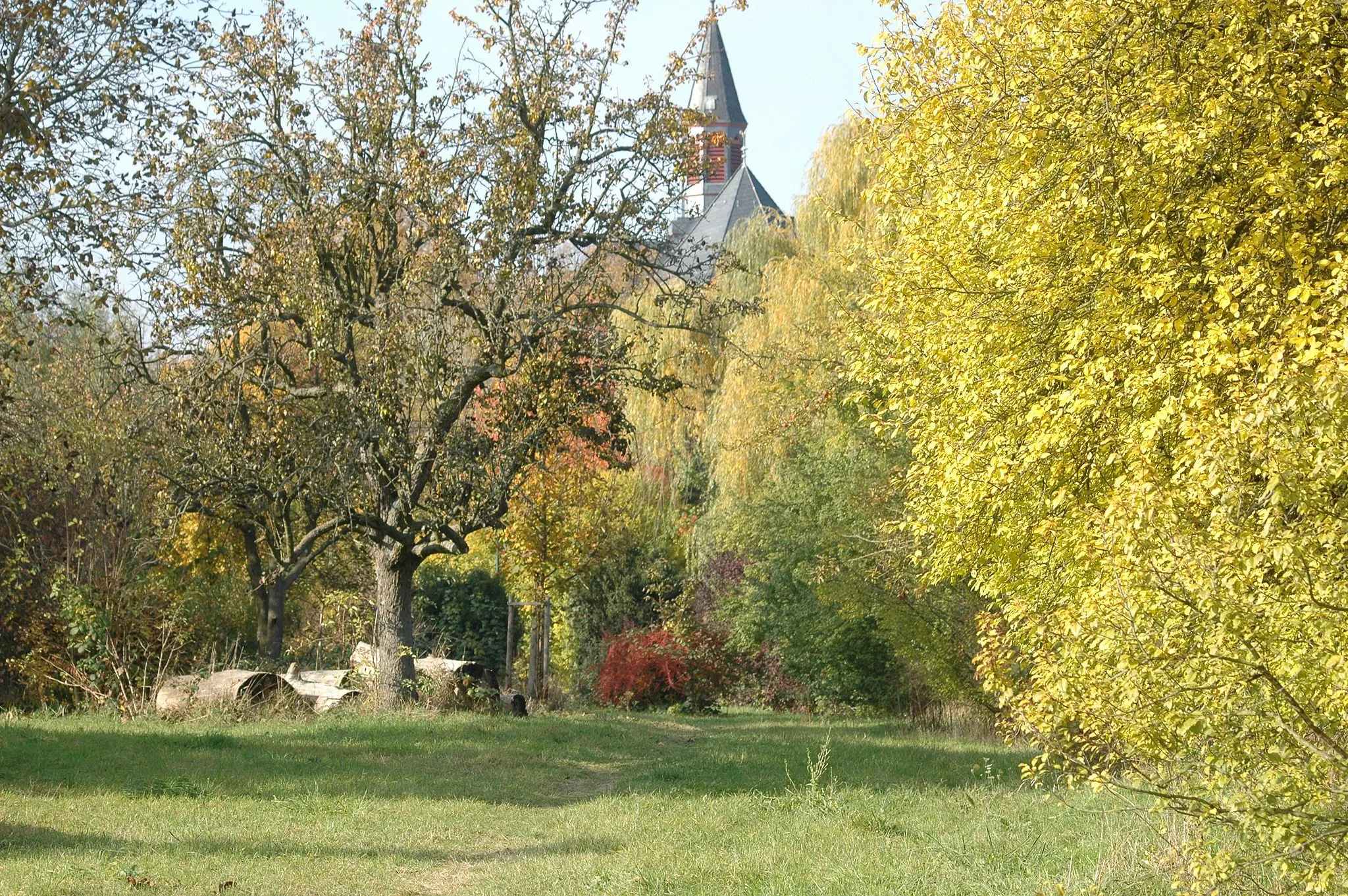
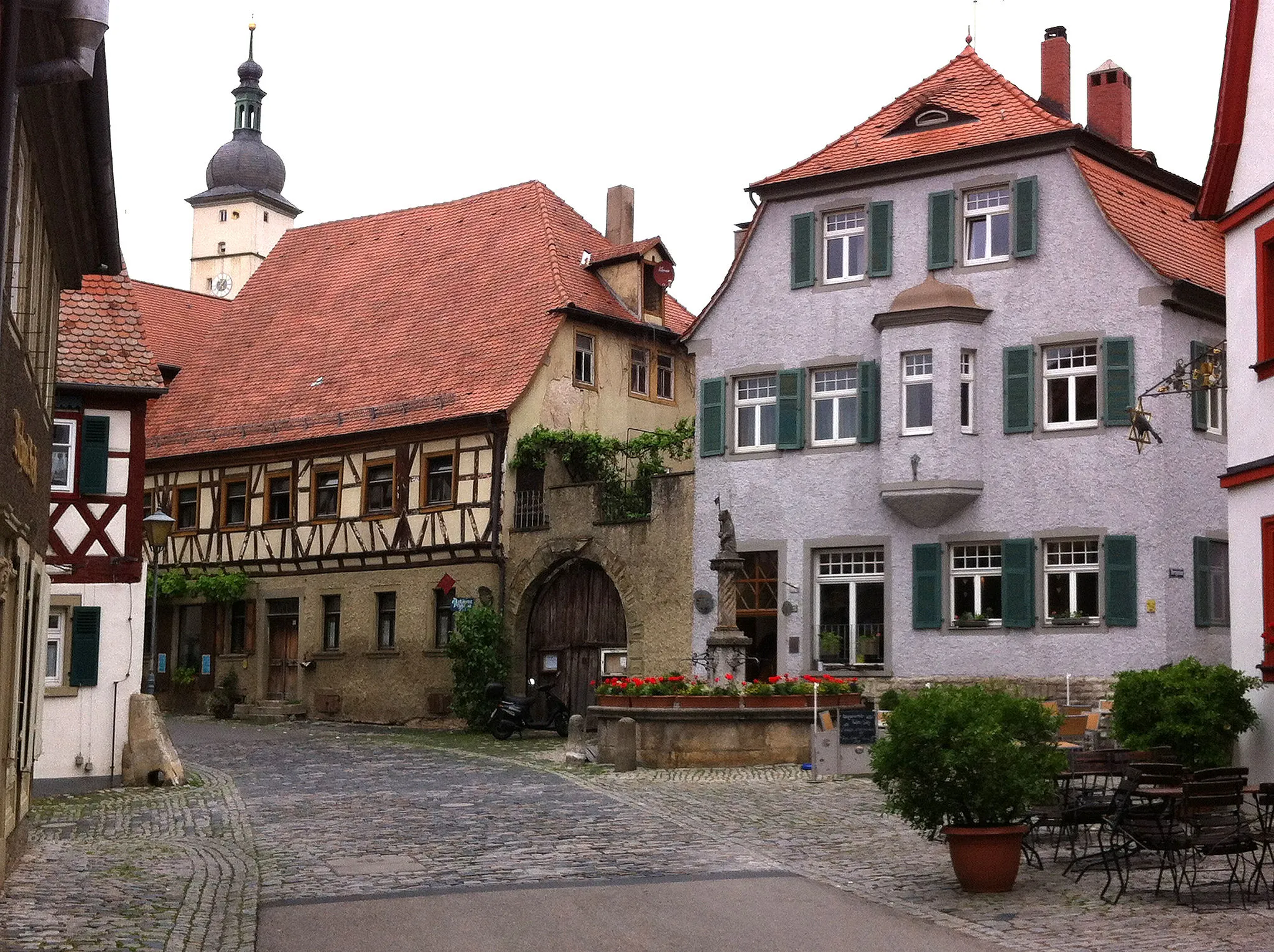
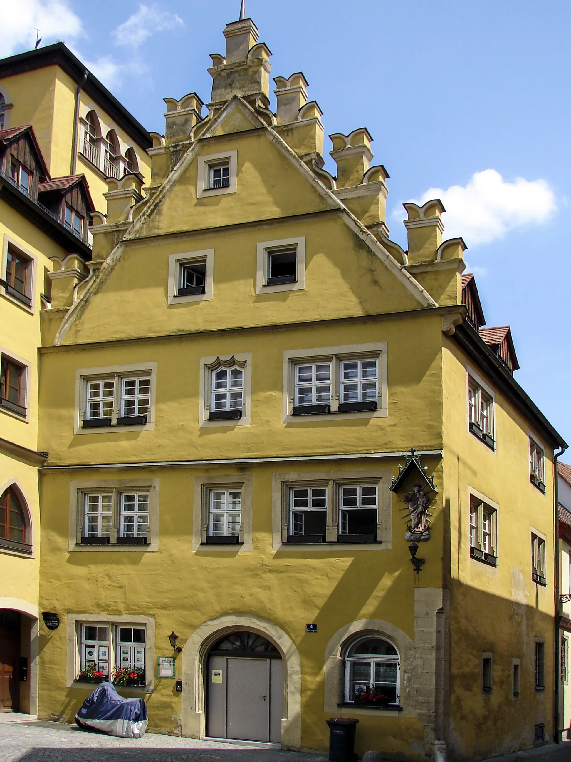
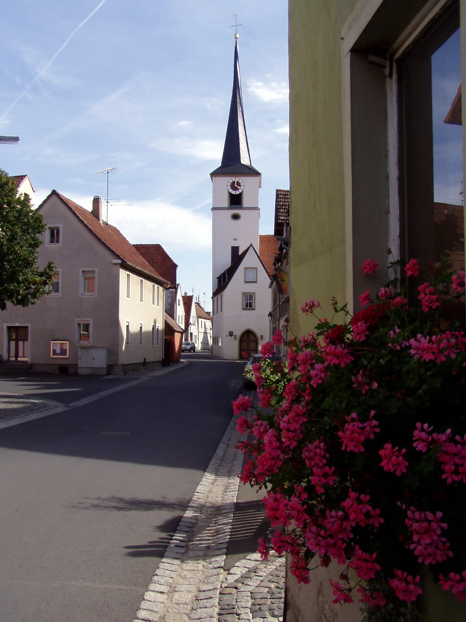
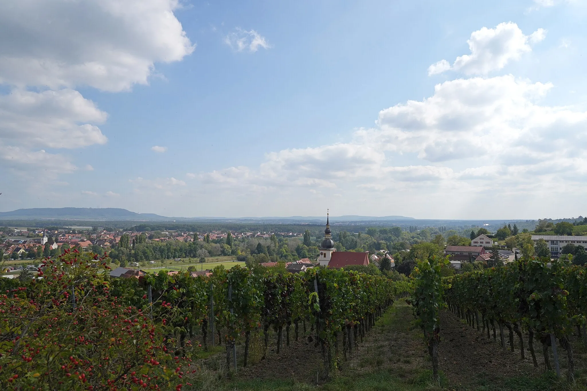
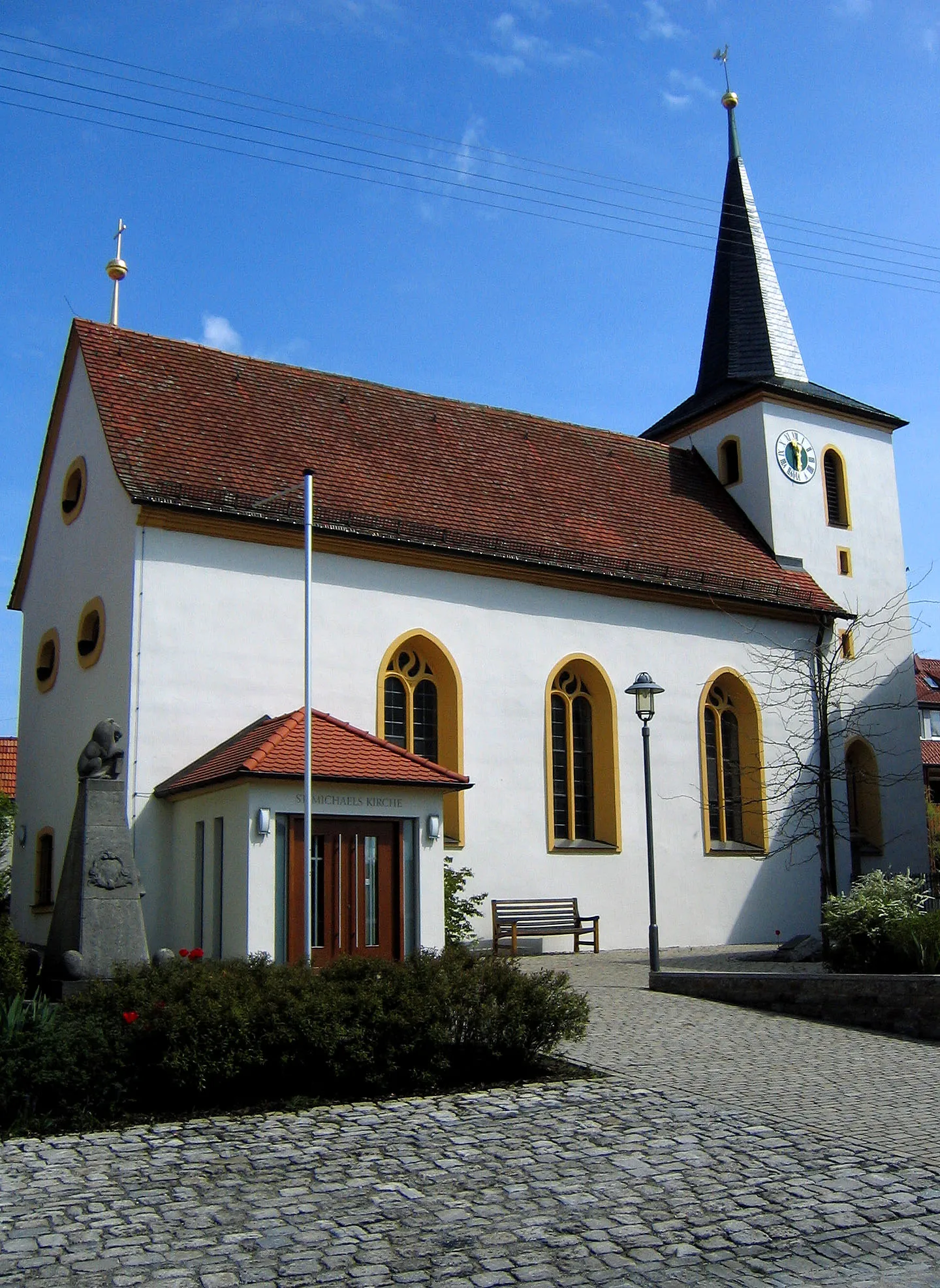
Rödelsee, a locality in Unterfranken, Germany, is a hidden gem for cyclists. The region offers a combination of flat stretches and rolling hills, making it suitable for road cycling and gravel riding. Cyclists can enjoy well-maintained roads and gorgeous countryside scenery dotted with vineyards. A popular cycling spot near Rödelsee is the Franconian Wine Bike Trail, which takes riders through stunning vineyard landscapes. With its peaceful atmosphere and scenic cycling routes, Rödelsee is a great destination for cyclists.
Experience the breathtaking landscapes and historic towns of Unterfranken on this challenging road cycling route.
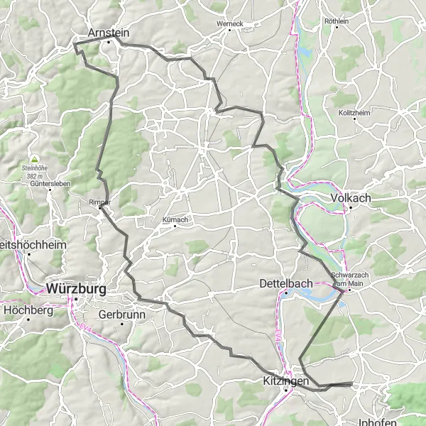
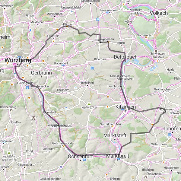
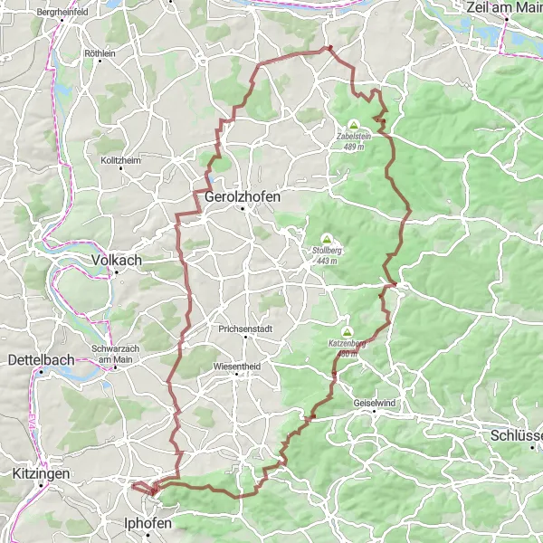
Embark on a challenging road cycling adventure through the enchanting landscapes and historic towns of the Unterfranken region. Starting near Rödelsee, the route takes you along winding rivers and through rolling hills, offering spectacular views every step of the way. With an ascent of 944 meters and a distance of 99 kilometers, this route is ideal for experienced cyclists looking for a rewarding challenge. Along the way, you'll encounter several highlights, including the Winterhafendamm viewpoint, Biebelried, Rimpar, Arnstein, Schwanfeld, Nordheim am Main, and Etwashausen.
Embark on a thrilling gravel adventure through the hilly landscapes of Unterfranken.
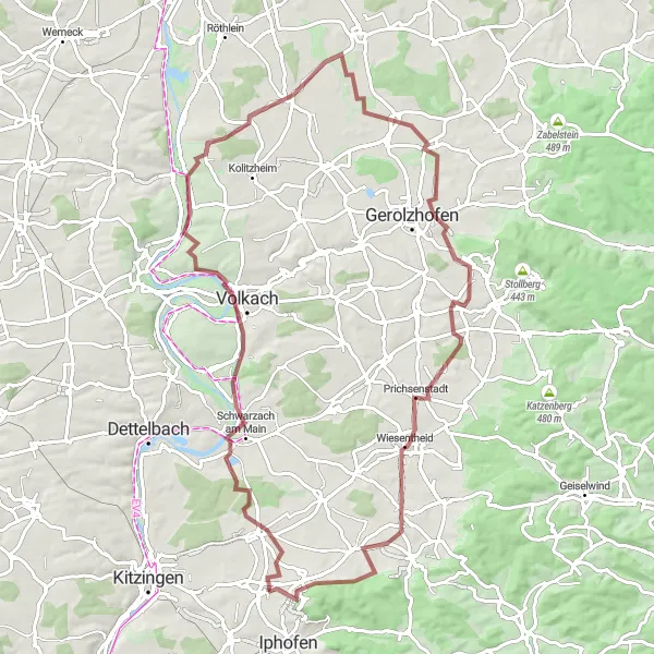
Get ready for an adrenaline-pumping gravel adventure through the hilly landscapes of Unterfranken. Starting near Rödelsee, this challenging route takes you through picturesque vineyards, dense forests, and rolling hills. With an ascent of 590 meters and a distance of 83 kilometers, this route offers a good challenge for gravel enthusiasts. Along the way, you'll encounter several highlights, including Schwarzach am Main, Marienberg, Unterspiesheim, Krähenhügel, Düttingsfeld, Rüdenhausen, and Schiller.
Main River Scenic Ride
Experience the beauty of the Main River as you cycle along its picturesque banks and visit charming riverside towns.
The Main River Scenic Ride offers a scenic cycling experience along the enchanting Main River. With a distance of 76 kilometers and an ascent of 408 meters, this road cycling route provides a moderately challenging ride. The route is suitable for well-trained amateurs seeking a delightful journey through idyllic landscapes. Enjoy the serenity of the river views and visit the charming towns and villages that dot the riverbanks.
The Wine Route
Savor the taste of local wines on this scenic cycling route.
The Wine Route takes you through picturesque vineyards and charming wine villages, where you can stop to taste the region's famous Franconian wines. With a total distance of 100 kilometers and an ascent of 716 meters, this road cycling route provides a moderately challenging ride. The route is suitable for well-trained amateurs with some cycling experience.
The Gravel Adventure

Embark on an exciting gravel adventure through Franconia's scenic countryside and charming villages.
The Gravel Adventure is perfect for gravel bike enthusiasts looking for a challenging ride with a taste of Franconian culture. Covering a distance of 43 kilometers and featuring an ascent of 354 meters, this route offers a mix of gravel paths and quiet country roads. The difficulty level is moderate, making it suitable for experienced hobby cyclists. Don't forget to bring your camera to capture the beautiful landscapes and historic sights along the way.
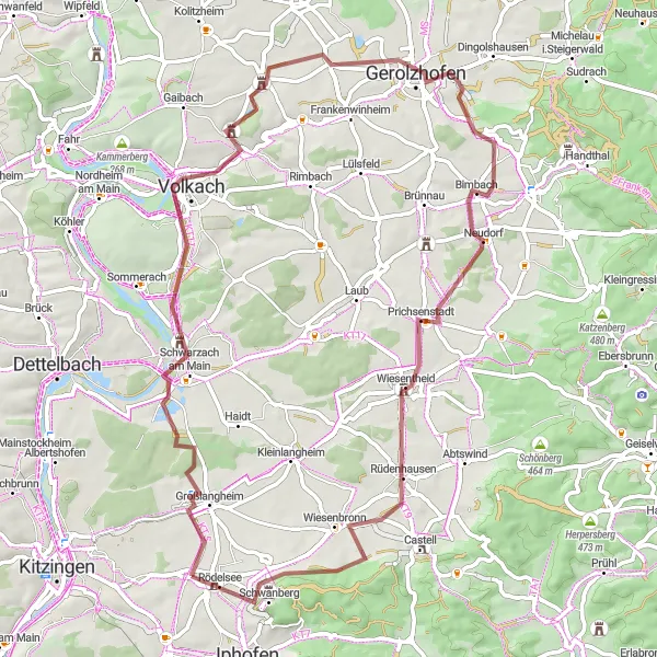
Discover the enchanting landscapes, medieval towns, and vineyards of the Unterfranken region.
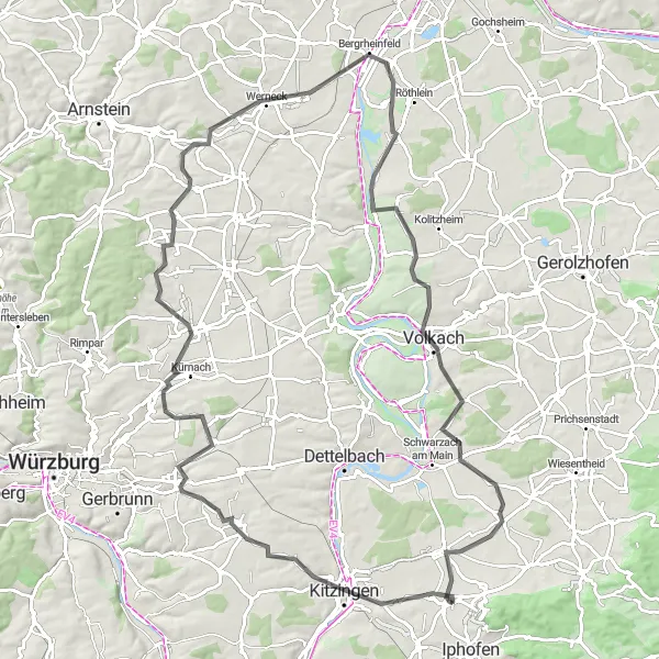
This round-trip cycling route takes you through the beautiful Unterfranken region, known for its picturesque landscapes, charming vineyards, and historic towns. Starting near Rödelsee, the route offers stunning views as you ride along the rivers and through the lush green vineyards. The difficulty level of this route is moderate, making it suitable for well-trained amateur cyclists. With an ascent of 652 meters and a distance of 79 kilometers, the route presents a good challenge while still being enjoyable. Along the way, you'll encounter several highlights, including the Winterhafendamm viewpoint, Kitzingen, Theilheim, Gieshügel, Unterpleichfeld, Schwarzach am Main, and Großlangheim.
Traverse the rolling vineyards and picturesque valleys on this adventurous gravel ride.
The Vineyards and Valleys Gravel Ride promises an adventurous journey through the stunning landscapes of the Franconian wine region. With a distance of 52 kilometers and an ascent of 495 meters, this gravel cycling route provides a challenging ride. Suitable for experienced hobby cyclists, the route offers breathtaking views, charming villages, and immersion into the world of Franconian wine culture.
Embark on a thrilling gravel adventure through the varied landscapes of Unterfranken.
This round-trip cycling route is perfect for gravel enthusiasts looking for a thrilling off-road adventure in the Unterfranken region. Starting near Rödelsee, the route takes you through a diverse range of terrains, including gravel roads, forest trails, and scenic countryside paths. With a moderate ascent of 470 meters and a distance of 66 kilometers, this route offers an exciting challenge for experienced gravel cyclists. Along the way, you'll encounter several highlights, including Großlangheim, Volkach, Gerolzhofen, Heiliger Franziskus, Rüdenhausen, Schiller, Kreuz, and Rödelsee.
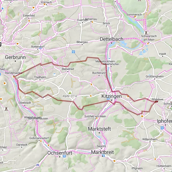
Discover the charming villages and scenic vineyards of Lower Franconia on this gravel route starting near Rödelsee.
This round-trip cycling route takes you through the picturesque villages of Lower Franconia, known for its famous vineyards and beautiful landscapes. With a moderate difficulty level, it offers a great opportunity for well-trained amateur cyclists to explore the region.
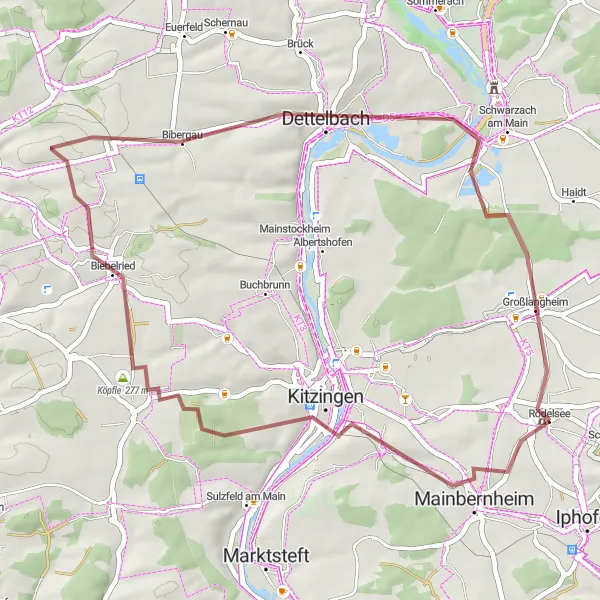
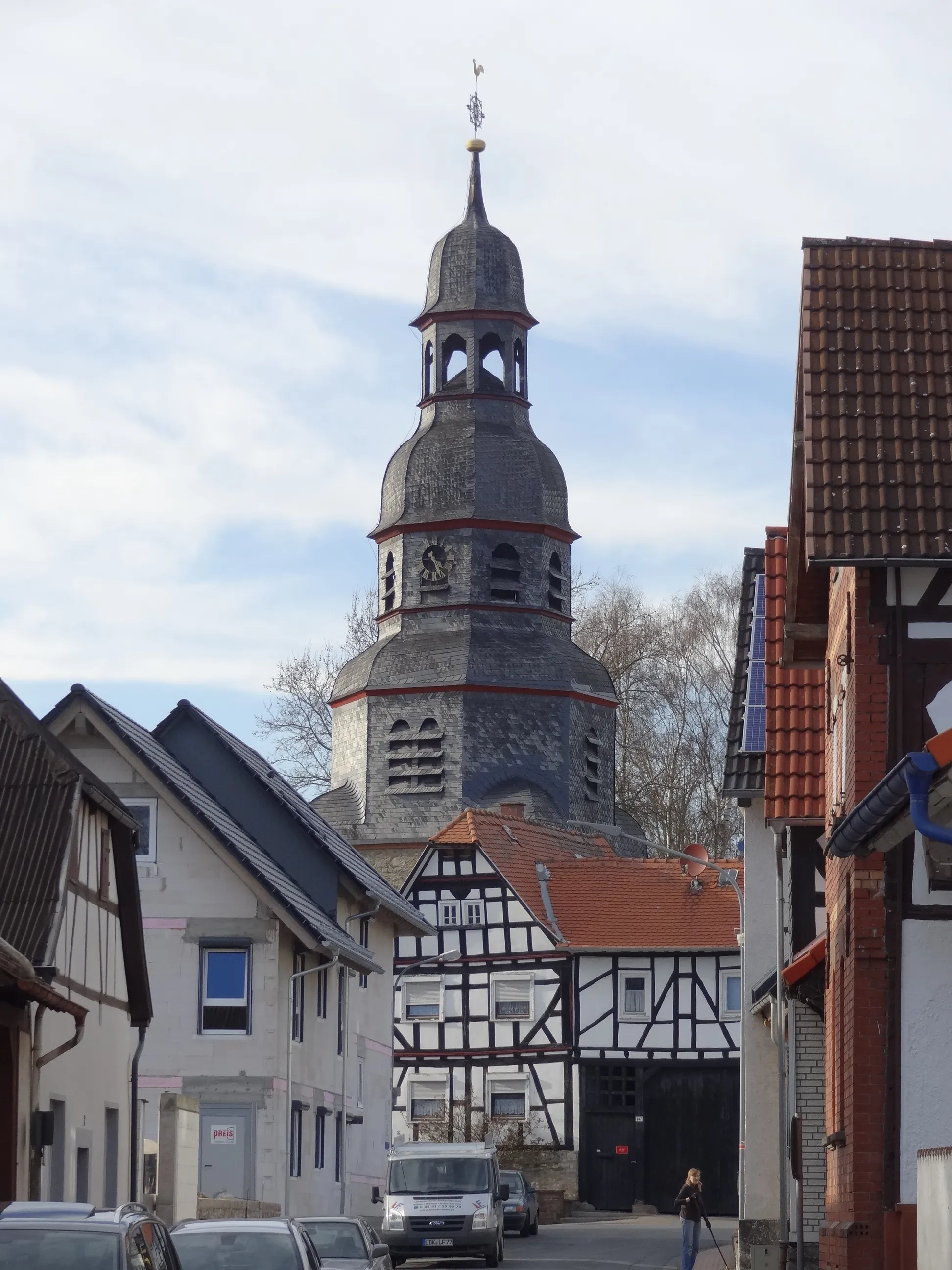
Explore the charming landscapes and historic towns along the Mainbernheim trail.
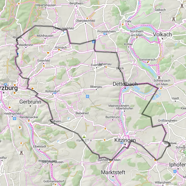
Embark on a charming cycling journey through the beautiful landscapes and historic towns surrounding Mainbernheim. This relatively easy route is perfect for cyclists of all skill levels, with a moderate ascent of 293 meters and a distance of 45 kilometers. As you ride, you'll be enchanted by the picturesque scenery, quaint villages, and peaceful riverbanks. Along the way, you'll encounter several highlights, including Mainbernheim, Köpfle, Biebelried, Dettelbach, and Großlangheim.
Cycling routes nearby:

Nearby regions: