Discover Cycling Bliss in Willanzheim
Cycling routes from Willanzheim
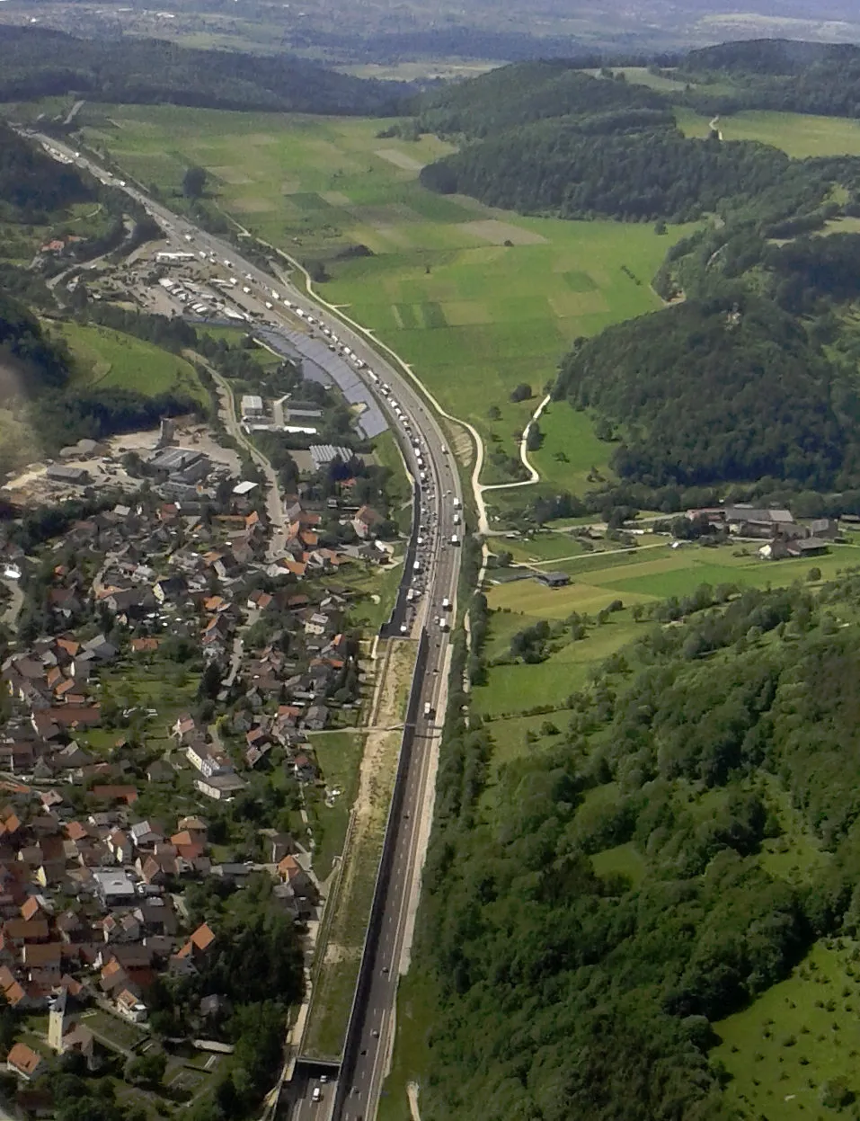
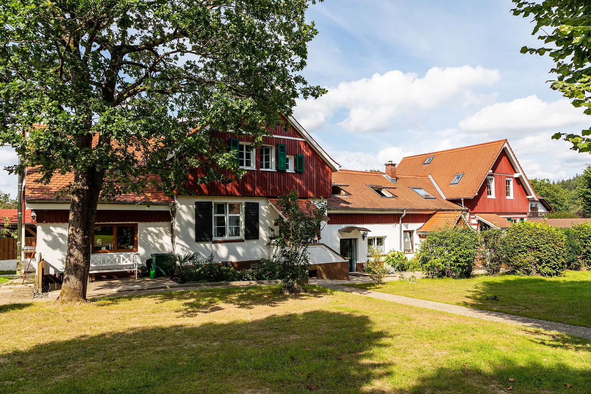
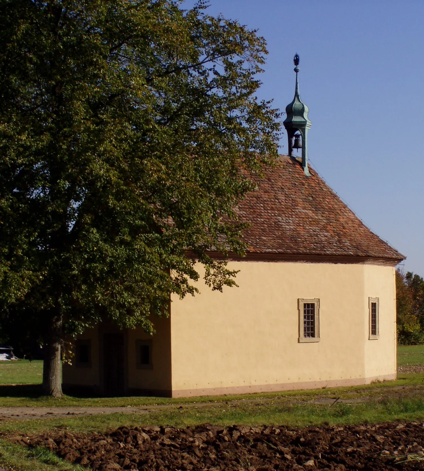
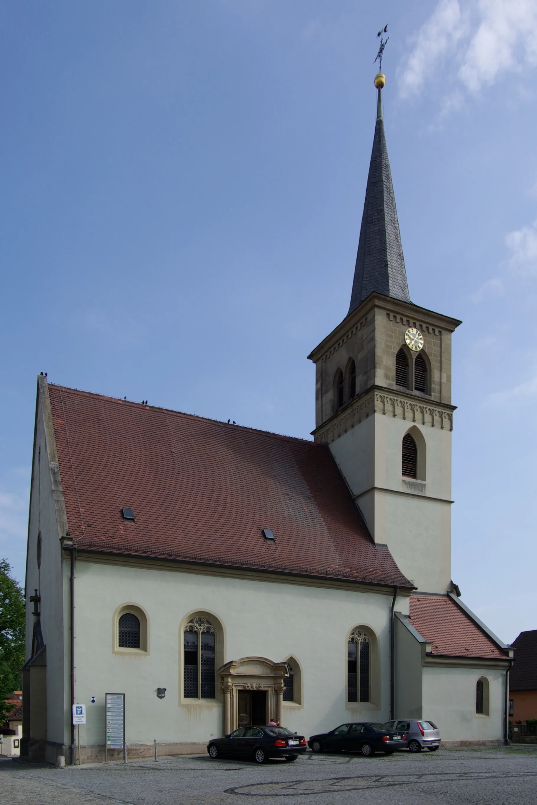
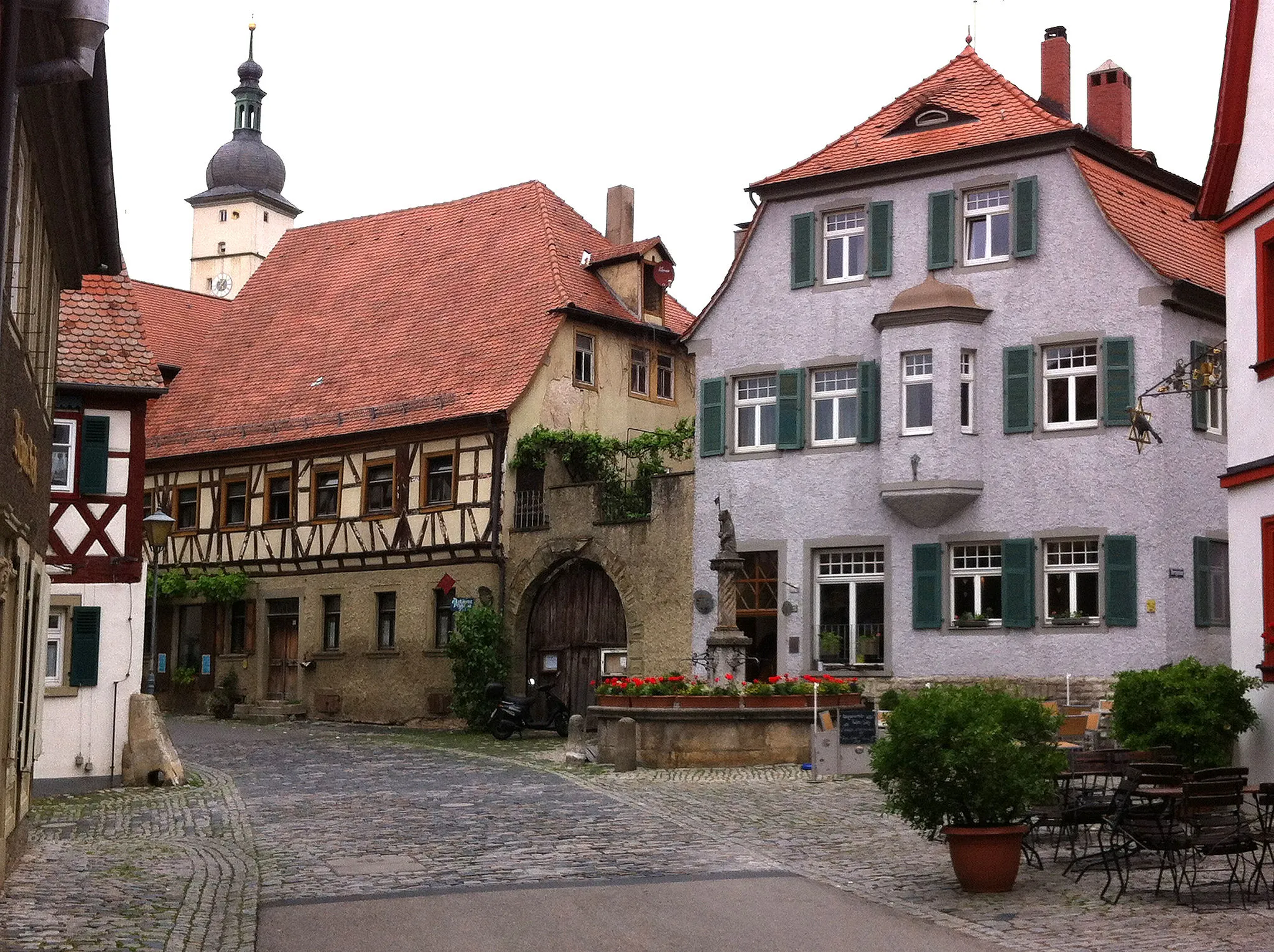
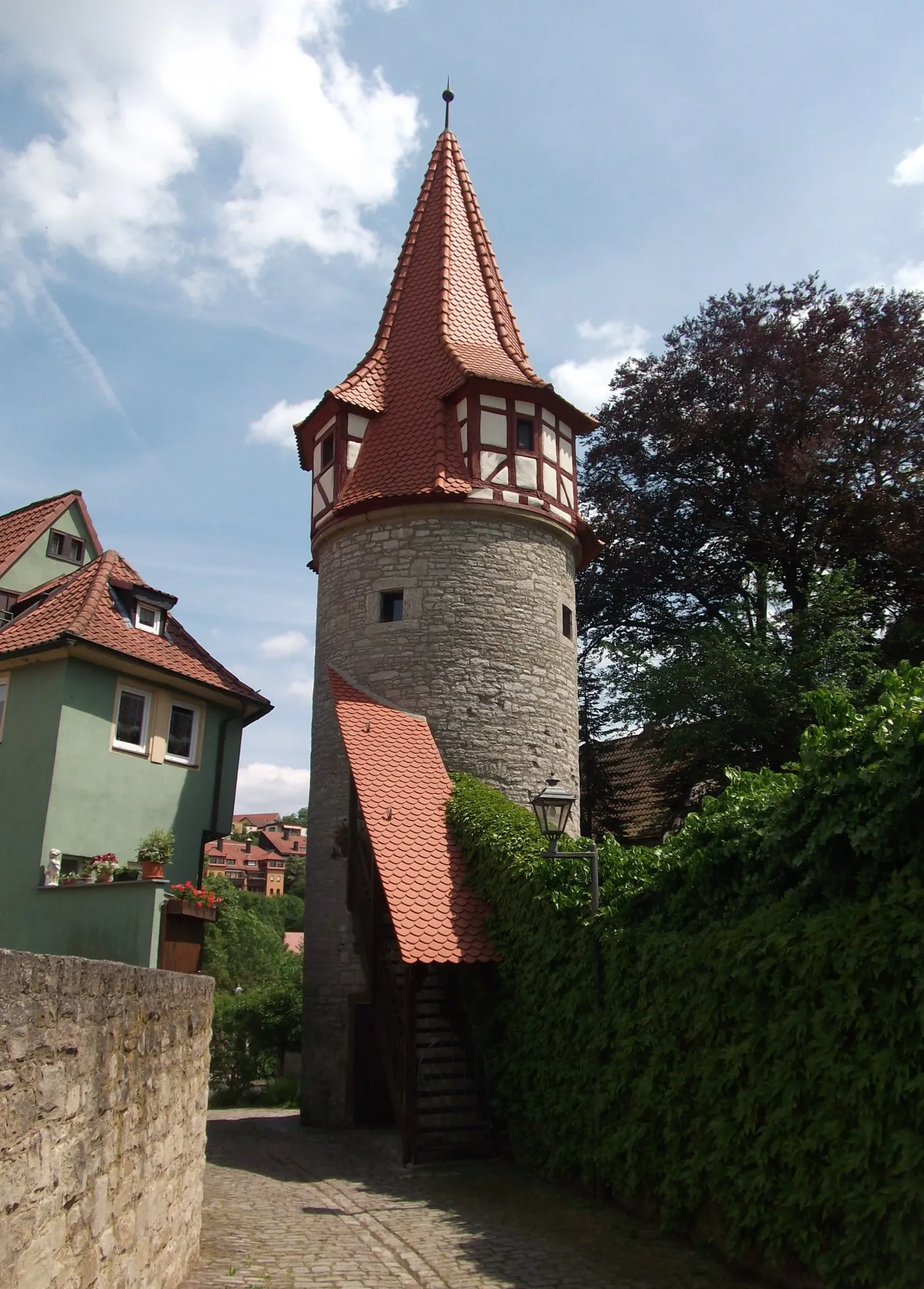
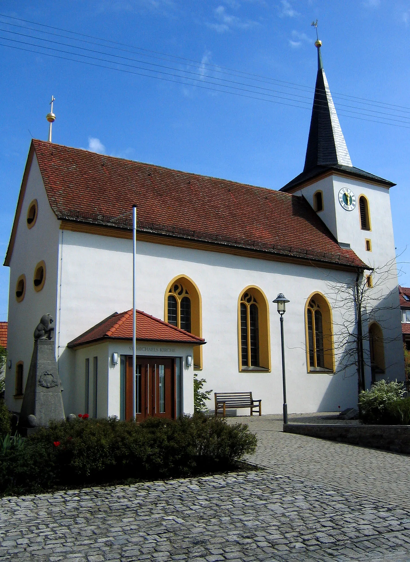
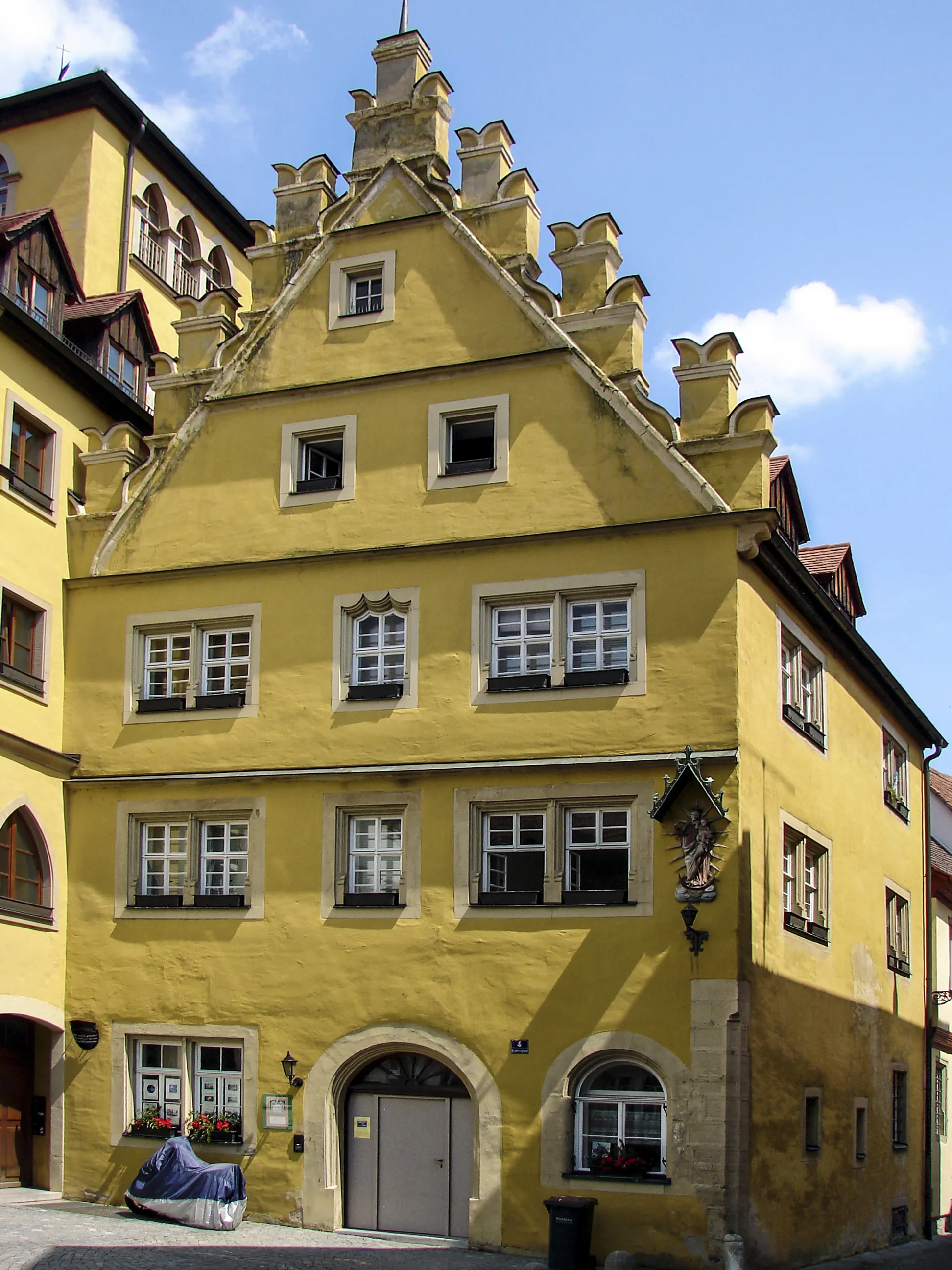
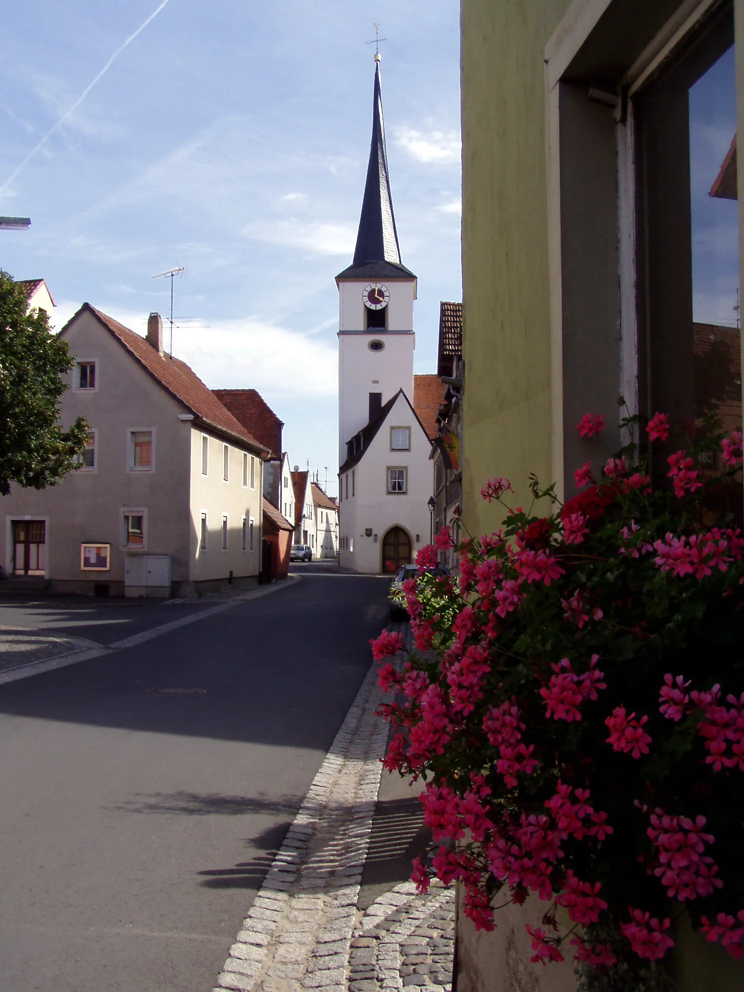
Willanzheim, located in Unterfranken, Germany, is a charming town filled with cycling opportunities. The locality offers well-maintained roads and bike paths, making it easy for road and gravel cyclists to navigate around the area. Riders can enjoy peaceful rides through vineyards, forests, and picturesque countryside, immersing themselves in the natural beauty of Willanzheim. Additionally, the town is known for its warm hospitality and cyclist-friendly accommodations, providing a comfortable base for exploring the region. Willanzheim is also close to the famous XYZ Hill, attracting cycling enthusiasts from all over the world. Whether you're a leisure rider or a seasoned cyclist, Willanzheim offers a fantastic destination for your next cycling adventure.
Experience the enchanting gravel routes of Unterfranken
Embark on a magical gravel adventure through the scenic routes of Unterfranken. With a distance of 83 km and an ascent of 996 m, this route takes you through diverse landscapes, including forests, vineyards, and charming villages. The challenging terrain and stunning surroundings make it an ideal choice for experienced gravel cyclists.

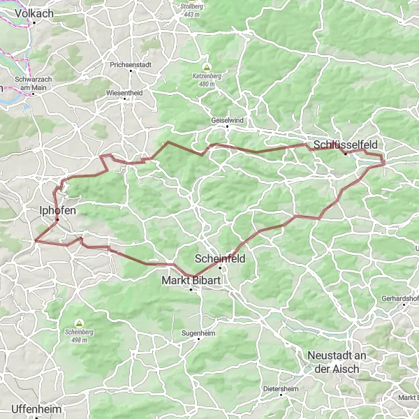
Ride through Nordheim am Main and Mainbernheim while exploring the gravel hills surrounding Unterfranken.
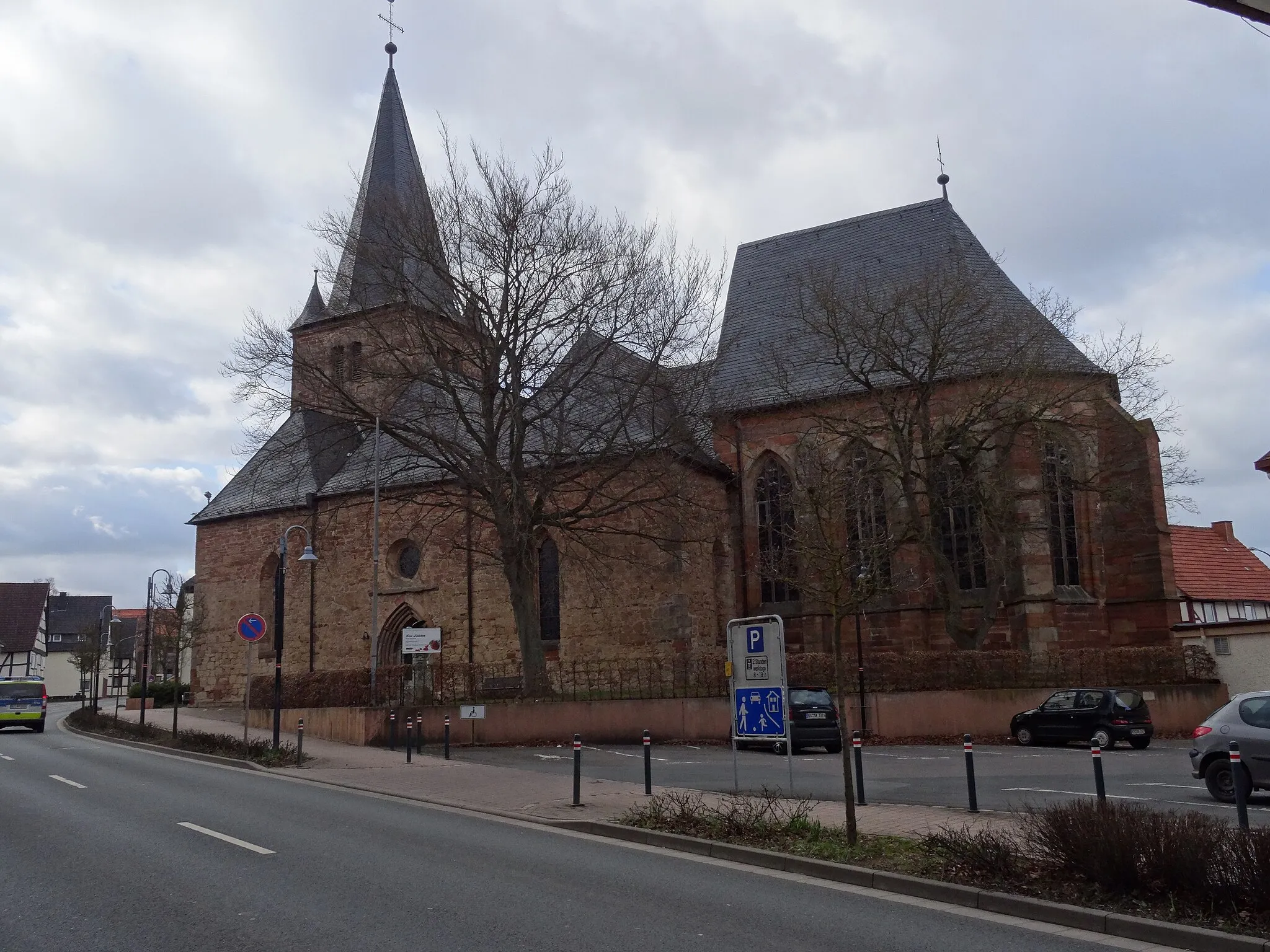
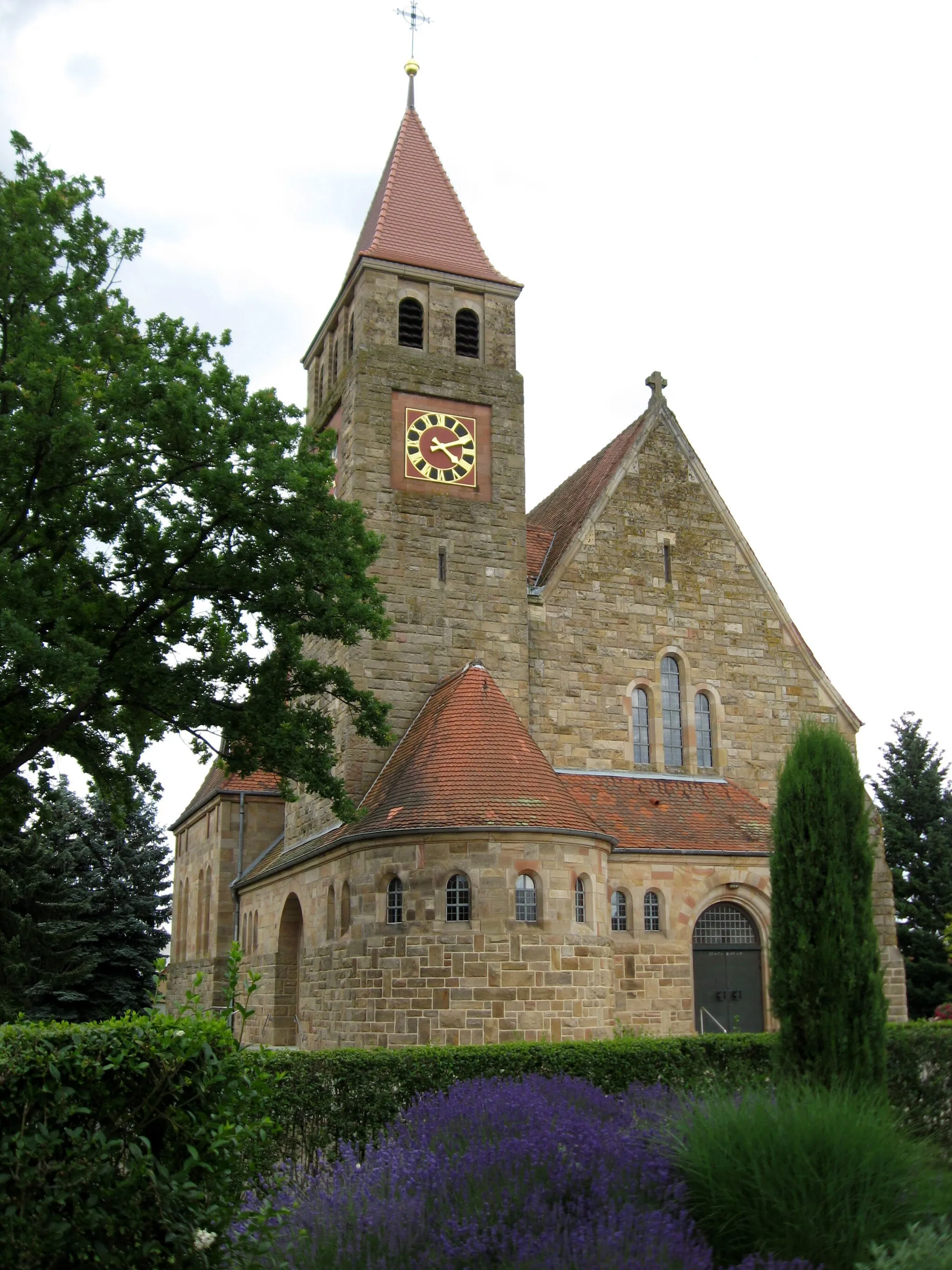
Discover the beauty of Unterfranken on this 73 km gravel route with a total ascent of 606 meters. The route takes you through picturesque landscapes, charming villages, and ancient ruins. Uncover the hidden gems of Nordheim am Main and Mainbernheim as you immerse yourself in the rich history and natural wonders of the region.
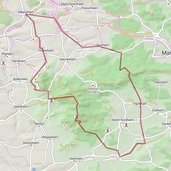
Ride through the beautiful landscapes around Willanzheim and discover the highlights of Mönchsondheim and Burgruine Hohenlandsberg on this gravel route.
Explore the scenic surroundings of Willanzheim on this 48 km gravel route that features a total ascent of 459 meters. Experience the charming village of Mönchsondheim and the ancient ruins of Burgruine Hohenlandsberg along the way. Enjoy the varied terrain and picturesque countryside as you pedal through this distinctive route.
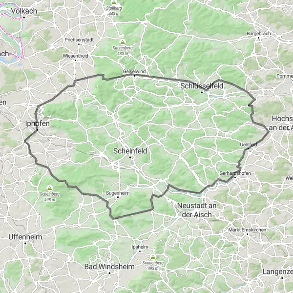
Iphofen and Surroundings
Cycle through the charming villages and beautiful vineyards near Iphofen
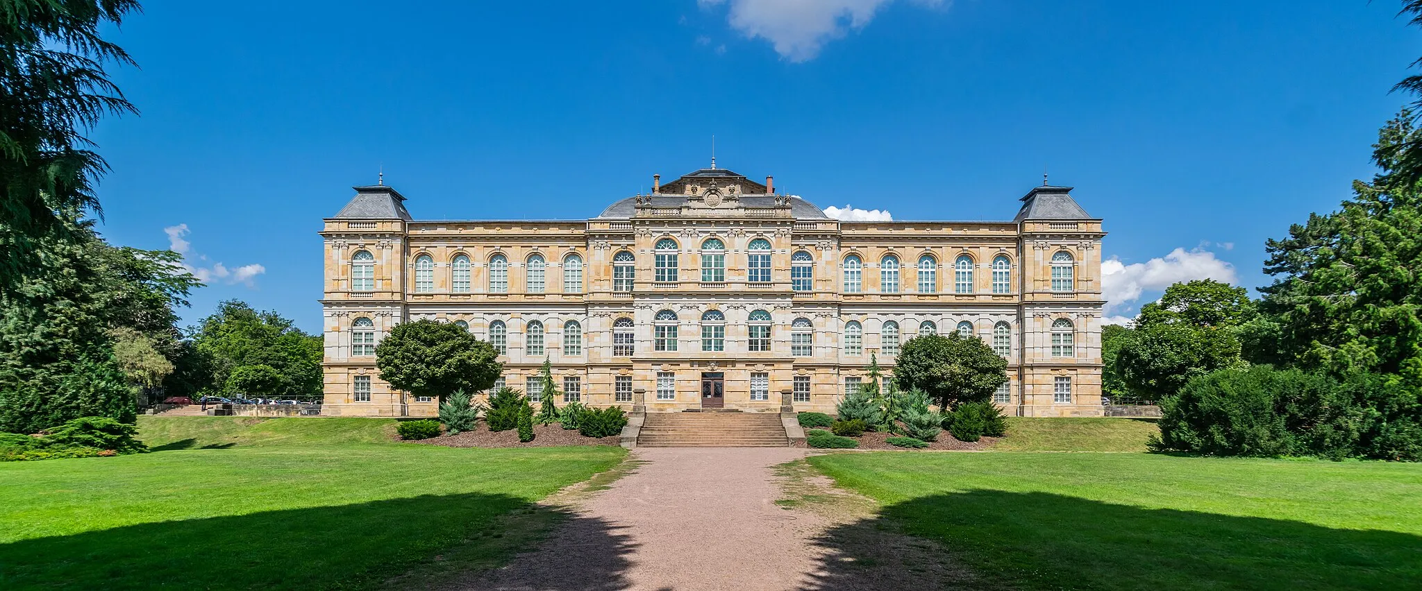
Experience the beauty of the Iphofen region on this cycling route. With a total distance of 73 km and an ascent of 756 m, this road cycling tour takes you through picturesque villages and scenic vineyards. The route is suitable for amateur cyclists with moderate fitness levels.
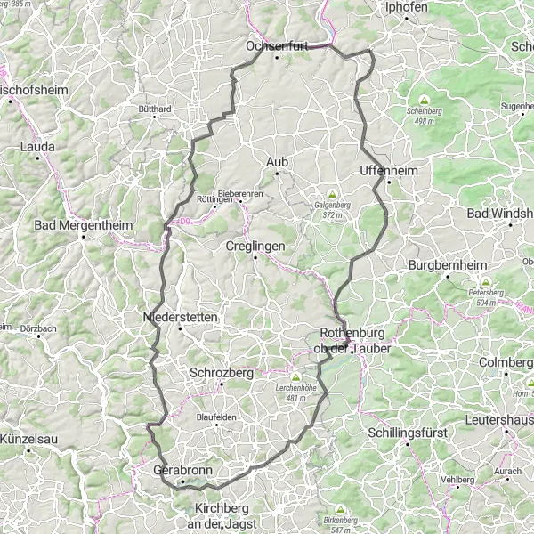
Embark on a challenging cycling adventure through southern Unterfranken
This road cycling route covers a distance of 151 km with a total ascent of 1530 m, making it a challenging adventure for experienced cyclists. Starting near Willanzheim, the journey takes you through diverse landscapes, including rolling hills, charming villages, and picturesque river views.
Enheim to Kitzingen Loop

Experience the charming countryside and historic towns on this road route through Enheim, Bütthard, Großrinderfeld, and Kitzingen.
This road route offers a mix of scenic countryside and interesting towns, making it a great option for cyclists who enjoy both nature and culture. The loop takes you through Enheim, Bütthard, Großrinderfeld, and Kitzingen, providing stunning views and opportunities to explore the historical landmarks along the way. With a moderate difficulty level, this route is suitable for well-trained amateur cyclists. The epicness level of this route is moderate, with several highlights to enjoy.
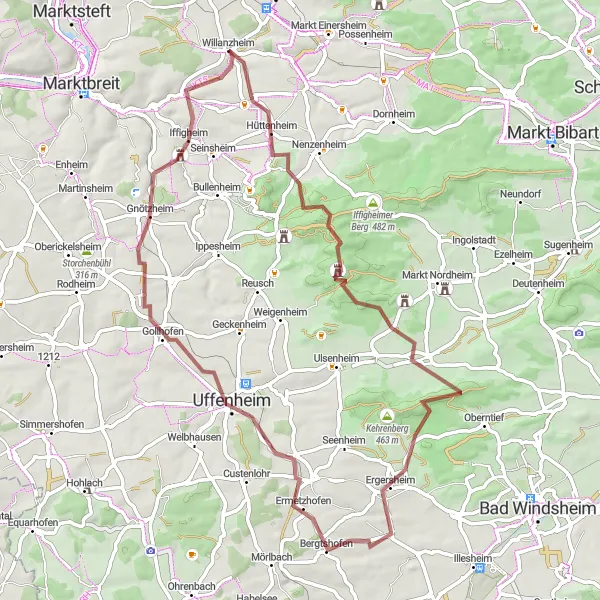
Travel through picturesque landscapes from Iphofen to Markt Herrnsheim
Starting in Iphofen, this road cycling route spans 113 km and features a total ascent of 896 m. Cyclists will pass through beautiful landscapes, charming Franconian villages, and rolling hills. Along the way, enjoy stunning views and immerse yourself in the region's rich cultural and natural heritage history.
The Willanzheim Loop
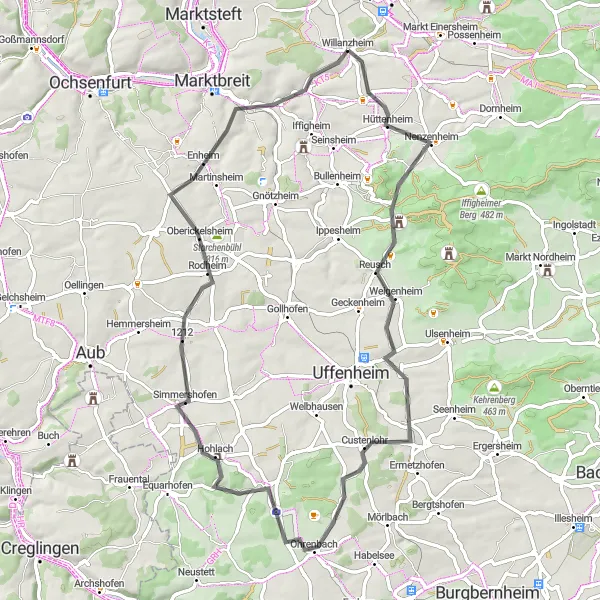
A scenic route through the picturesque countryside near Willanzheim
Embark on this stunning cycling adventure through the beautiful Unterfranken region of Germany. The Willanzheim Loop takes you through picturesque landscapes, quaint villages, and historic sites, providing a memorable experience for cycling enthusiasts. With a moderate difficulty level, this route is suitable for well-trained amateur cyclists who are up for a challenge. The epicness of this route is rated at 3, offering a pleasant and enjoyable ride. Catch glimpses of idyllic vineyards, rolling hills, and charming farms as you pedal along this scenic cycling trail.
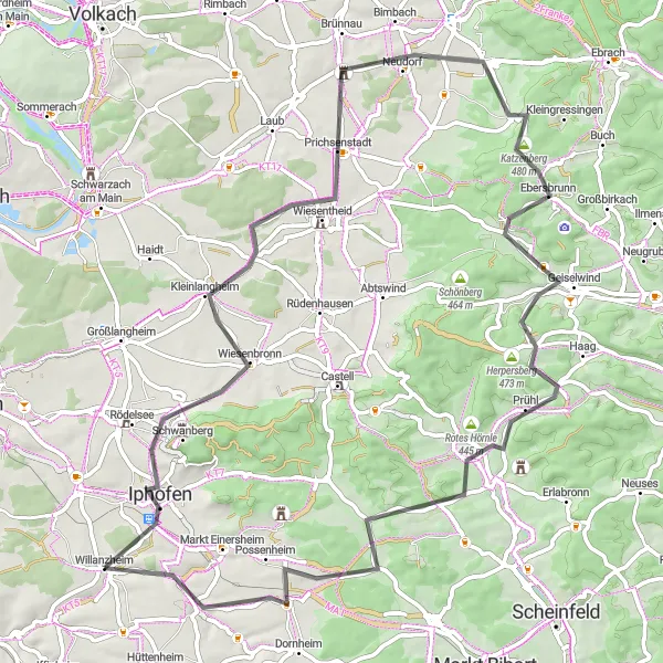
Experience the awe-inspiring landscapes along the Hoher Landsberg and Burgruine Hohenlandsberg gravel route.
This 65 km gravel route with a total ascent of 698 meters takes you through the enchanting landscapes surrounding Hoher Landsberg and the historic Burgruine Hohenlandsberg. Immerse yourself in the beauty of Unterfranken as you discover charming villages, rolling hills, and captivating vistas.

Explore the beautiful gravel roads and scenic viewpoints around Mainbernheim
Embark on an adventure through the gravel roads near Mainbernheim. This 70 km route offers a total ascent of 602 m, taking you through idyllic countryside and providing stunning views along the way. The tour is perfect for gravel cycling enthusiasts looking to explore off-road paths.
Cycling routes nearby:

Nearby regions: