Scenic Road Cycling from Iphofen to Markt Herrnsheim
A road cycling route starting from Willanzheim
Travel through picturesque landscapes from Iphofen to Markt Herrnsheim
Map
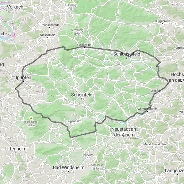
Starting in Iphofen, this road cycling route spans 113 km and features a total ascent of 896 m. Cyclists will pass through beautiful landscapes, charming Franconian villages, and rolling hills. Along the way, enjoy stunning views and immerse yourself in the region's rich cultural and natural heritage history.
road
113 km
896 m
Tough
Route profile
Highlights on the route
0 km
0 km
Start: Willanzheim Village centerWillanzheim: Discover Cycling Bliss in Willanzheim
Willanzheim, located in Unterfranken, Germany, is a charming town filled with cycling opportunities. The locality offers well-maintained roads and bike paths, making it easy for road and gravel cyclists to navigate around the area. Riders can enjoy peaceful rides through vineyards, forests, and picturesque countryside, immersing themselves in the natural beauty of Willanzheim. Additionally, the town is known for its warm hospitality and cyclist-friendly accommodations, providing a comfortable base for exploring the region. Willanzheim is also close to the famous XYZ Hill, attracting cycling enthusiasts from all over the world. Whether you're a leisure rider or a seasoned cyclist, Willanzheim offers a fantastic destination for your next cycling adventure.3 km
3 km
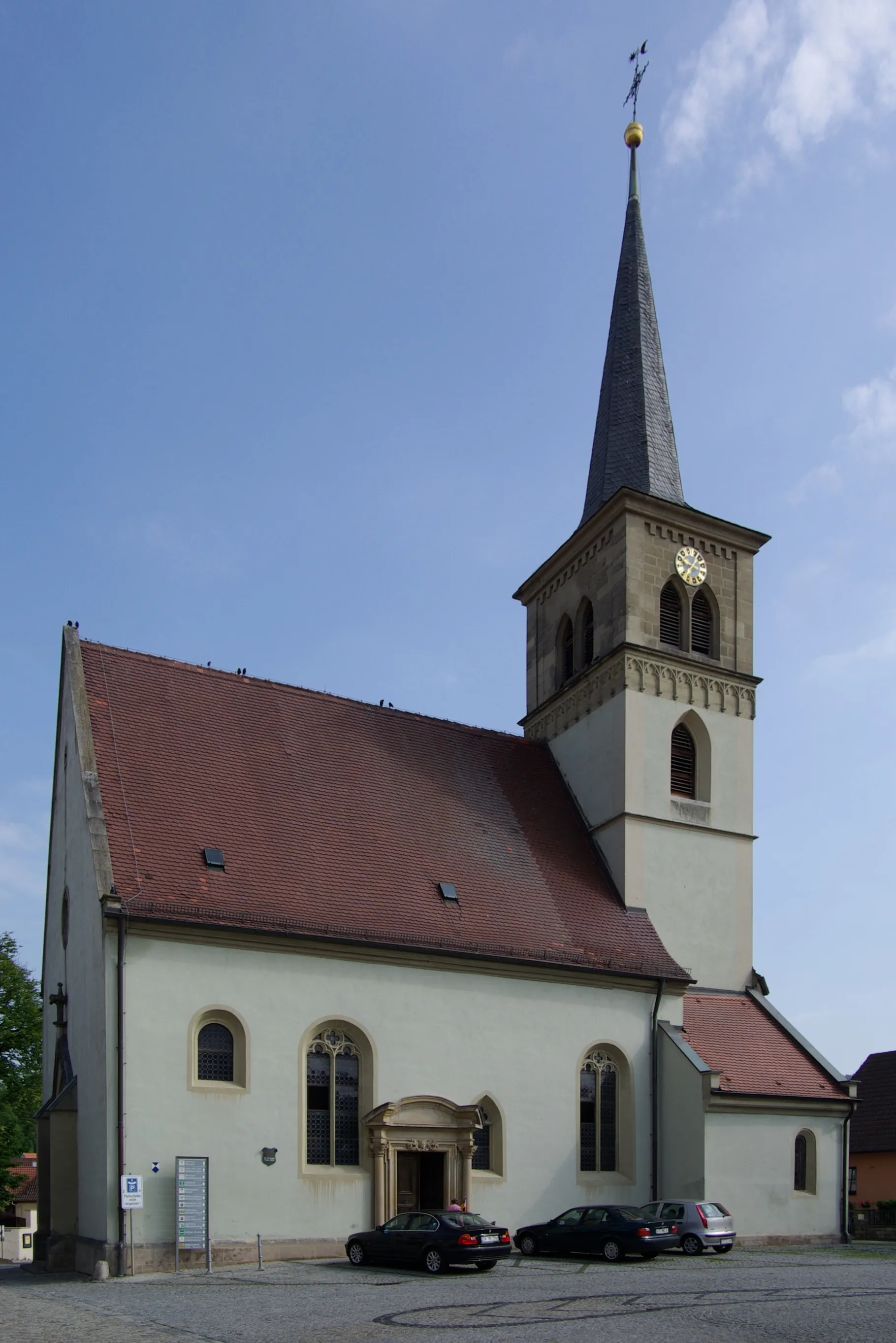
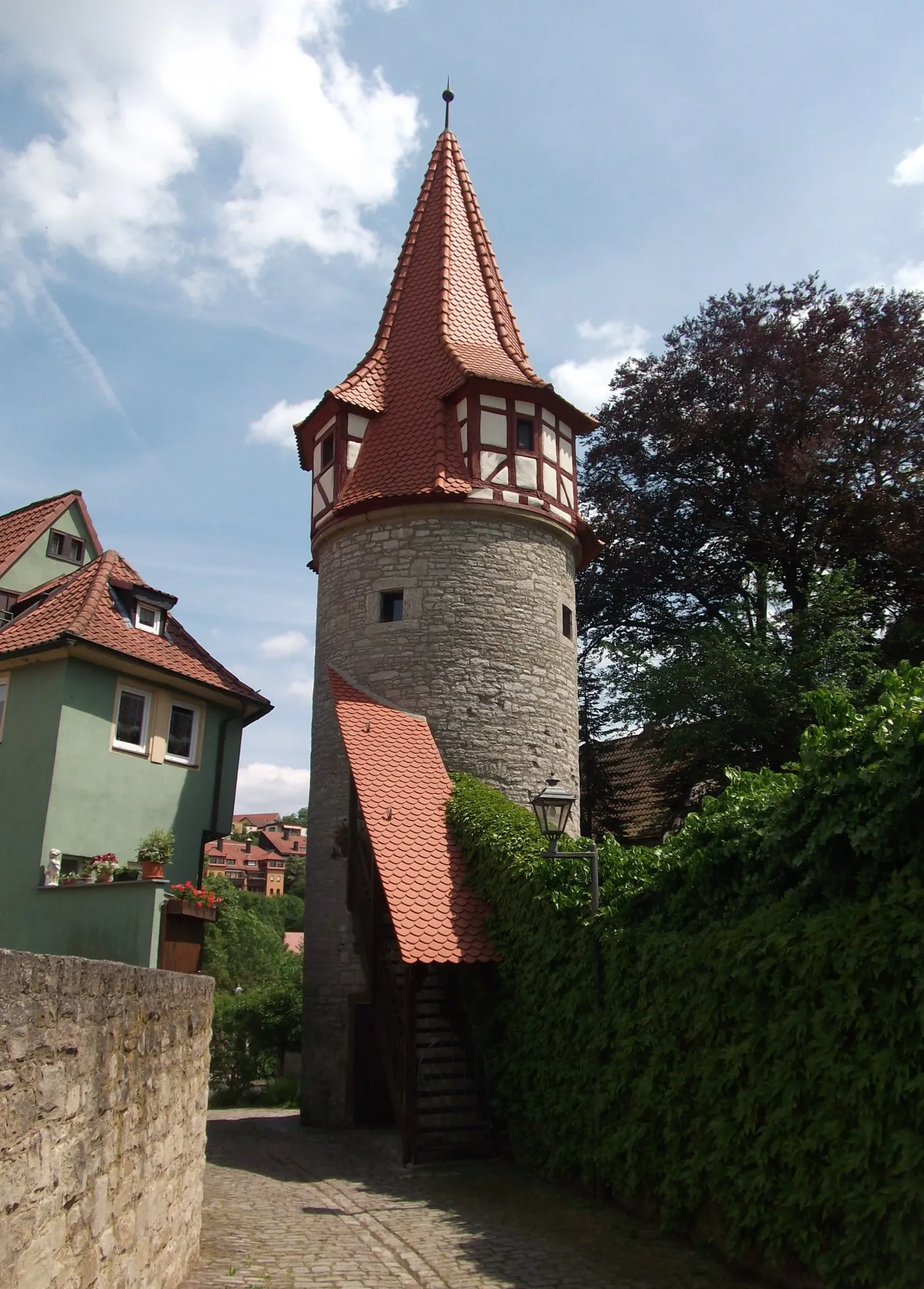
IphofenTownIphofen is a charming historic town, known for its well-preserved medieval architecture and its winemaking traditions.
11 km
11 km
Schiller290 mPeakIn the village of Schiller, discover significant historical architecture and cultural significance.
20 km
20 km
Stickelsberg403 mPeakStickelsberg offers panoramic views over the Franconian countryside and is a place to enjoy tranquility.
24 km
24 km
Top Of The WorldAttractionReach the 'Top Of The World' viewpoint and enjoy breathtaking views over the surrounding vineyards and hills.
45 km
45 km
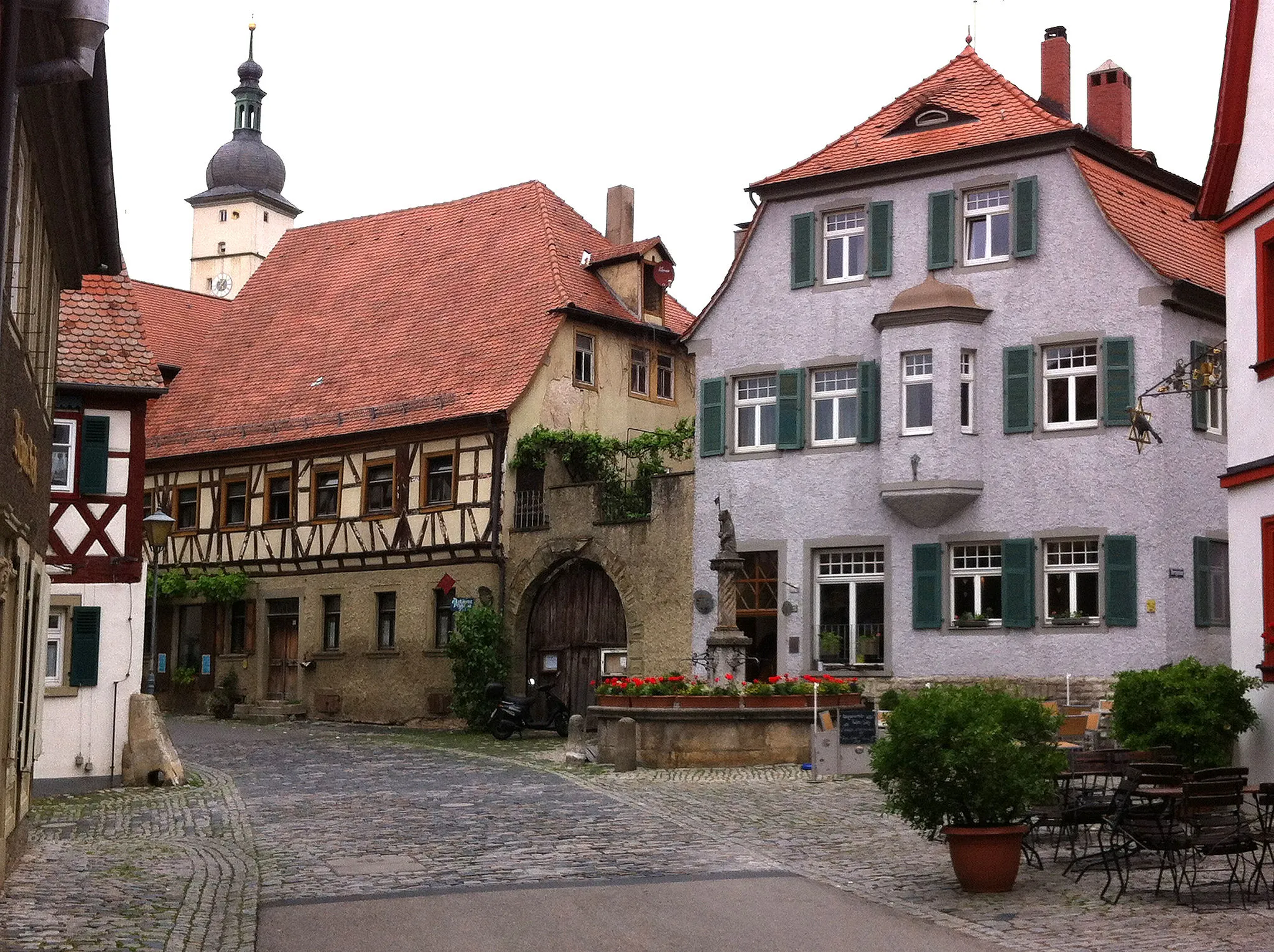
WachenrothVillageWachenroth is a picturesque village with beautiful traditional half-timbered houses and fascinating churches.
54 km
54 km
Rinsachhöhe329 mPeakReach the Rinsachhöhe viewpoint and take in the stunning panoramic views of the surrounding landscapes.
59 km
59 km
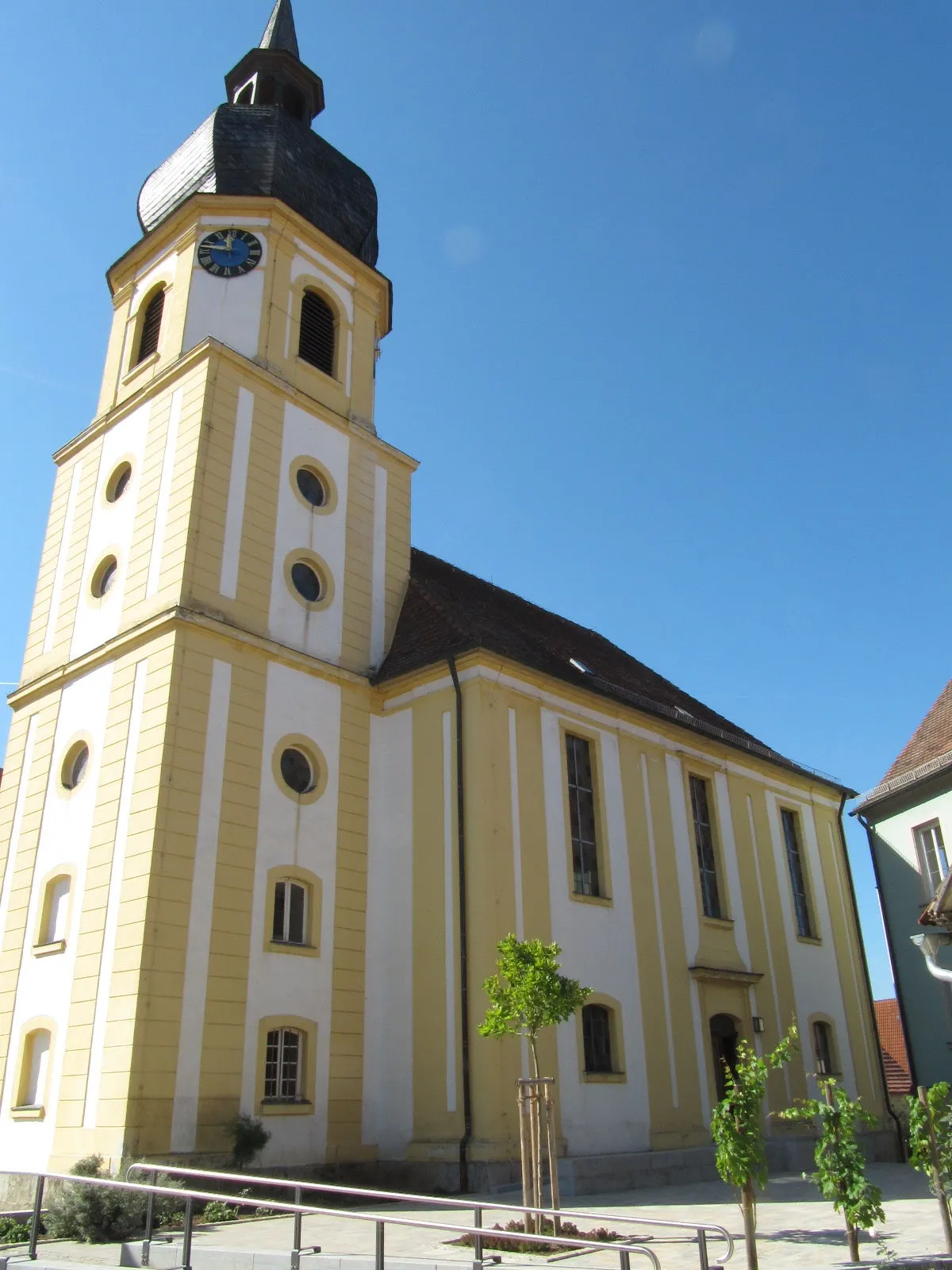
UehlfeldVillageIn Uehlfeld, visit the charming village center with its well-preserved half-timbered houses and tranquil atmosphere.
80 km
80 km
Kapellsberg324 mPeakThe Kapellsberg hill offers rewarding views of the Franconian countryside and an ancient chapel.
82 km
82 km
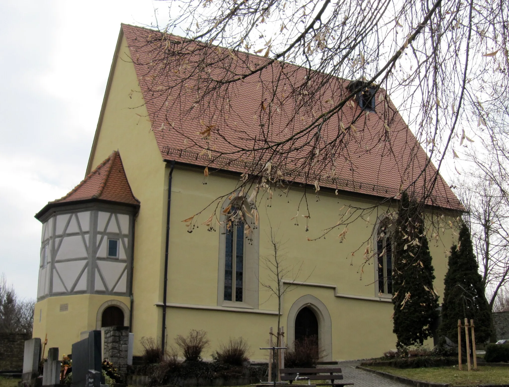
LangenfeldVillageLangenfeld is a cozy village surrounded by vineyards, offering a quiet escape from urban life.
102 km
102 km
Iffigheimer Berg482 mPeakEmbark on a challenging climb up the Iffigheimer Berg and enjoy panoramic views from the top.
110 km
110 km
Markt HerrnsheimVillageMarkt Herrnsheim is a charming village surrounded by picturesque landscapes and vineyards.
113 km
113 km
Finish: Willanzheim Village centerWillanzheim: Discover Cycling Bliss in Willanzheim
Cycling routes from Willanzheim:
Iphofen and Surroundings Discover Gravel Roads near Mainbernheim Magical Gravel Routes in Unterfranken Cycling Adventure in Southern Unterfranken Scenic Road Cycling from Iphofen to Markt Herrnsheim Enheim to Kitzingen Loop Mönchsondheim and Burgruine Hohenlandsberg Gravel Route Segnitz to Mainbernheim Road Route Nordheim am Main and Mainbernheim Gravel Route Hoher Landsberg and Burgruine Hohenlandsberg Gravel Route The Willanzheim Loop
Cycling routes nearby: