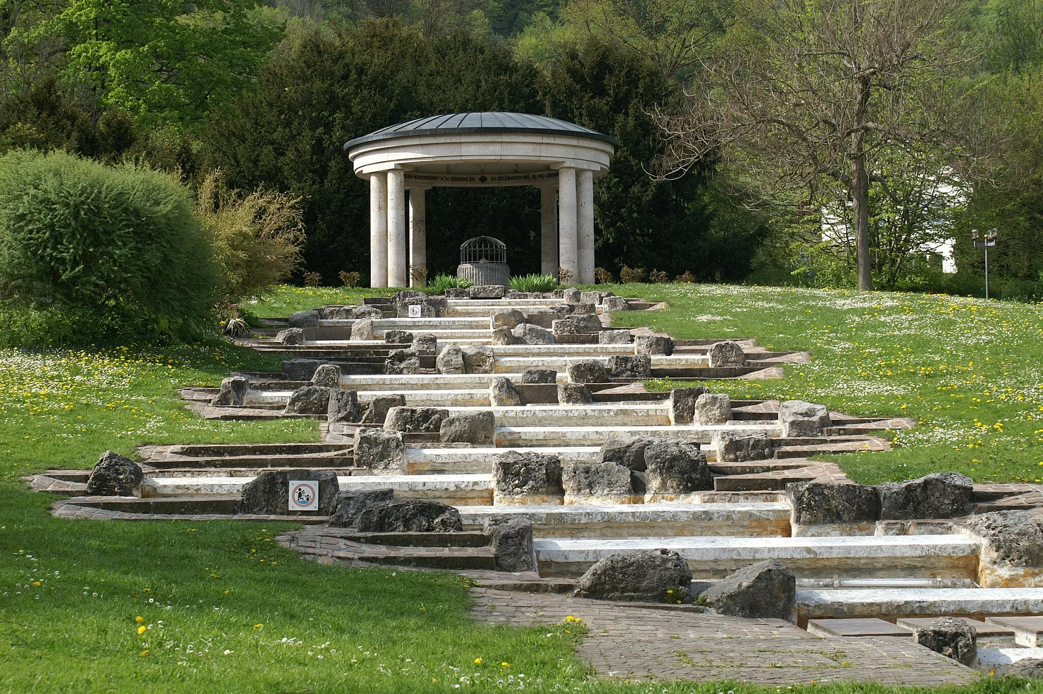
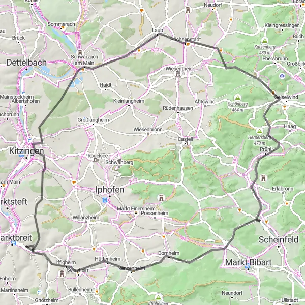
Experience the beauty of Obernbreit and enjoy the scenic cycling routes in the Unterfranken region.
Cycling routes from Obernbreit
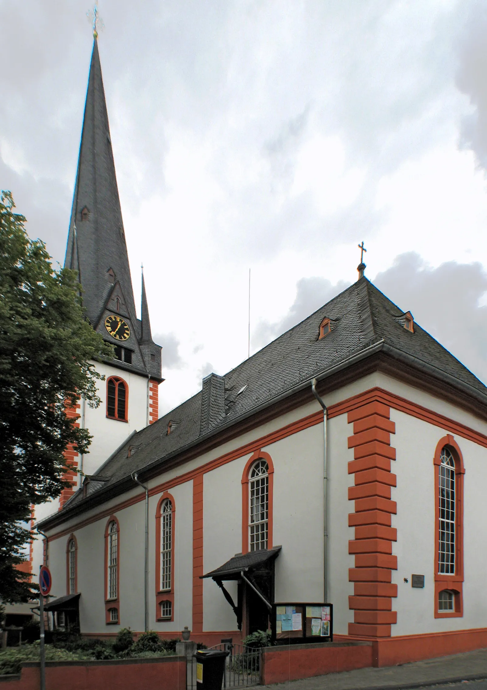
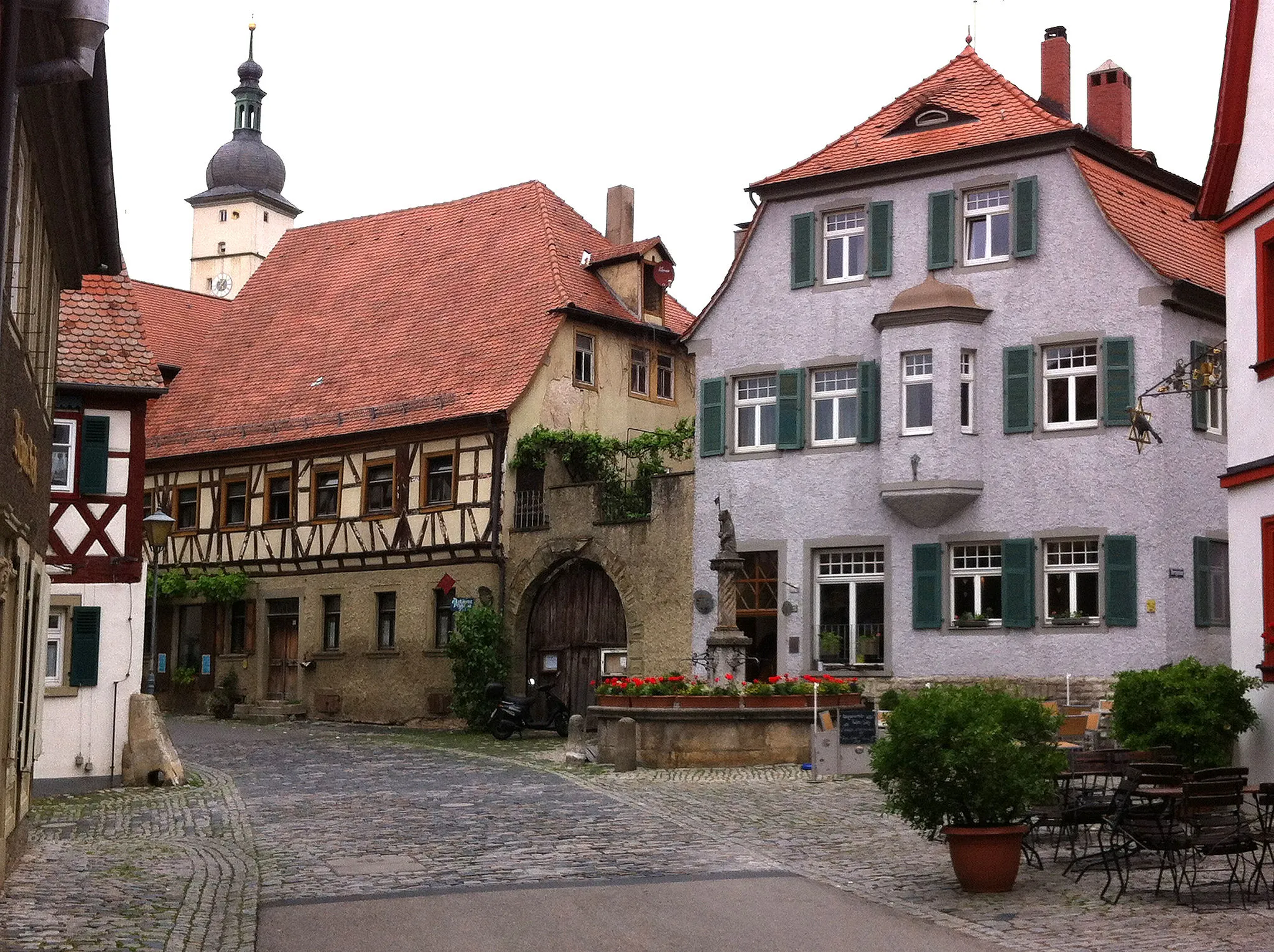
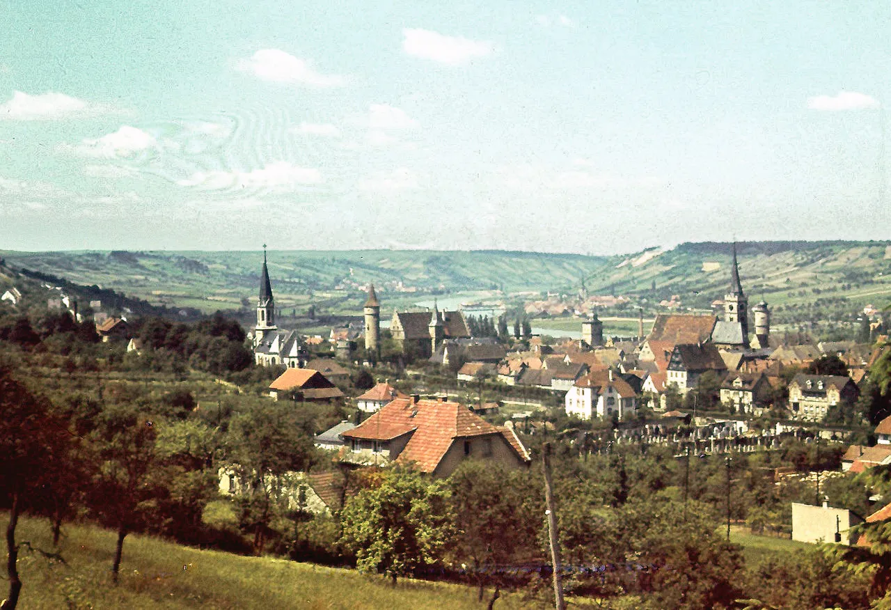
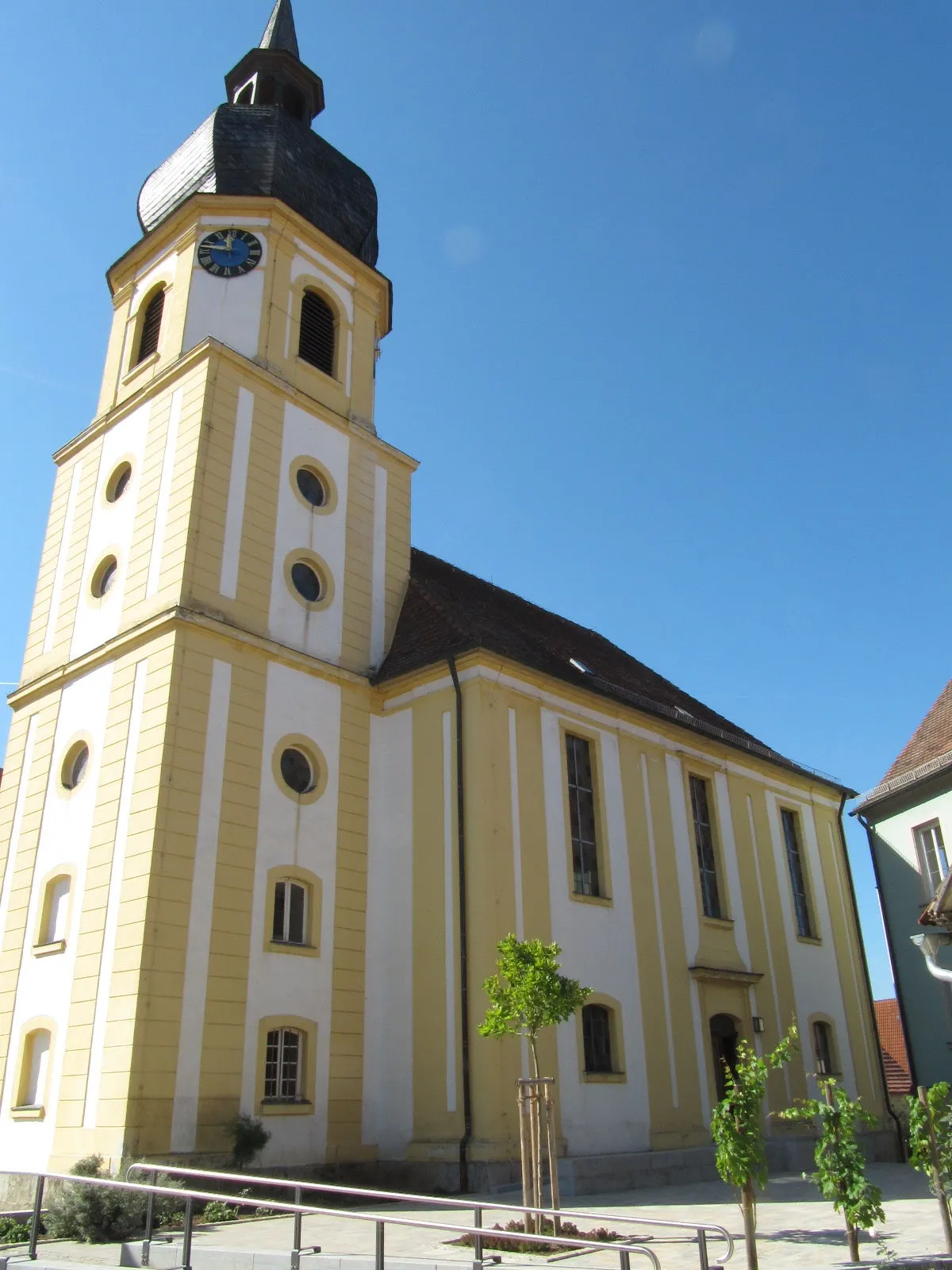
Obernbreit is a locality in Germany, situated in the Unterfranken region. From a cyclist's perspective, Obernbreit offers scenic roads suitable for both road and gravel cycling. The region provides rolling hills, vineyards, and charming countryside scenery. There are several well-marked cycling trails, allowing cyclists to explore the area's beauty. Additionally, nearby, there's the famous climb of Sommerache, which attracts cyclists seeking a challenging ascent with stunning panoramic views.
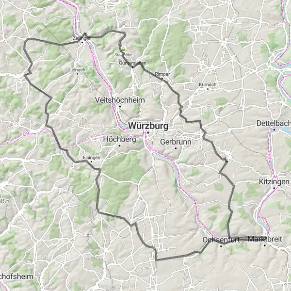
Würzburg Loop
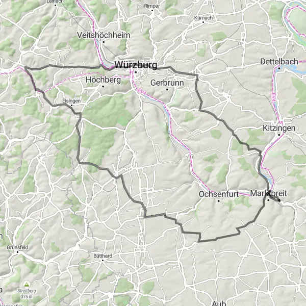
A picturesque route near Obernbreit with a glimpse of the Bavarian countryside.
The Würzburg Loop is a scenic cycling route near Obernbreit that takes you through charming villages and beautiful landscapes. With a distance of 93 km and an elevation gain of 943 m, this route offers a challenging yet rewarding experience for cyclists. Starting in Obernbreit, you'll pass by highlights such as Gaukönigshofen, where you can explore historical buildings and enjoy local delicacies. As you continue, Auf der Höhe offers stunning panoramic views of the surrounding hills and vineyards. Make sure to stop by Würzburg, a historic city known for its baroque architecture and UNESCO World Heritage sites. The route concludes in Marktbreit, a charming town with a rich cultural heritage.

Embark on the ultimate gravel adventure and explore the breathtaking landscapes of Unterfranken.
The Ultimate Gravel Adventure is a challenging and exhilarating route that showcases the beautiful landscapes of Unterfranken. Starting near Obernbreit, this 96-km long route will take you through forests, fields, and picturesque villages as you conquer challenging ascents and thrilling descents. Along the way, you'll be rewarded with stunning panoramic views, hidden gems, and historic landmarks. The highlight of the route is the Heuberg, a formidable climb that offers a true test of your gravel cycling skills.
Get ready to conquer challenging climbs and enjoy scenic views on the Franconian Hill Challenge.
The Franconian Hill Challenge offers a thrilling and adventurous cycling experience for those who seek a test of their endurance and climbing abilities. Starting near Obernbreit, this route will take you through the undulating landscapes of Unterfranken, where you'll face steep ascents and thrilling descents. Along the way, you'll pass through charming towns and villages, each with its unique character and history. The highlight of the route is the Langer Berg, a legendary climb known for its relentless gradients and breathtaking views at the summit.
Rural Delight
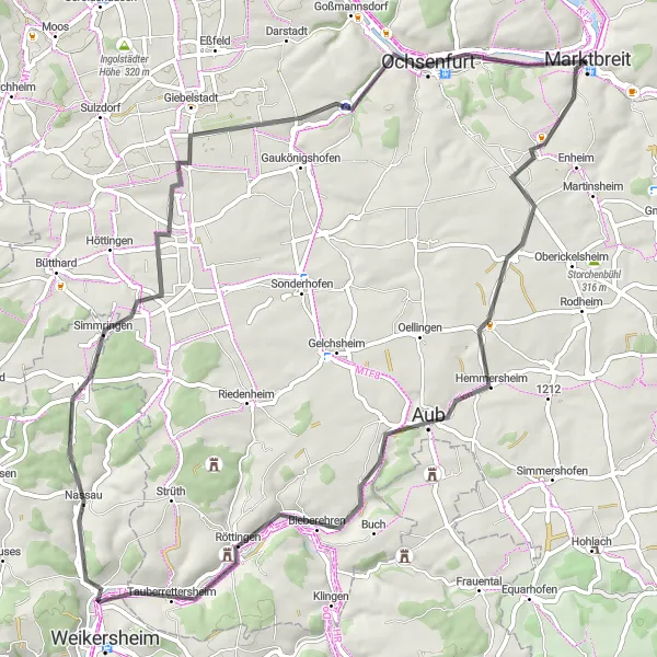
Discover the rural beauty of the region on this picturesque route.
Immerse yourself in the enchanting landscapes and quaint villages as you cycle through the rural beauty near Obernbreit. With a distance of 70 km and an ascent of 457 m, this route provides a more leisurely ride. Explore Hemmersheim and Bieberehren before reaching Tauberrettersheim and finally Ochsenfurt.
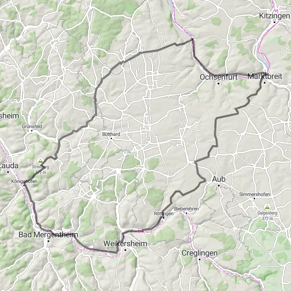
Experience the charm of the Romantic Road on this epic cycling journey from Obernbreit.
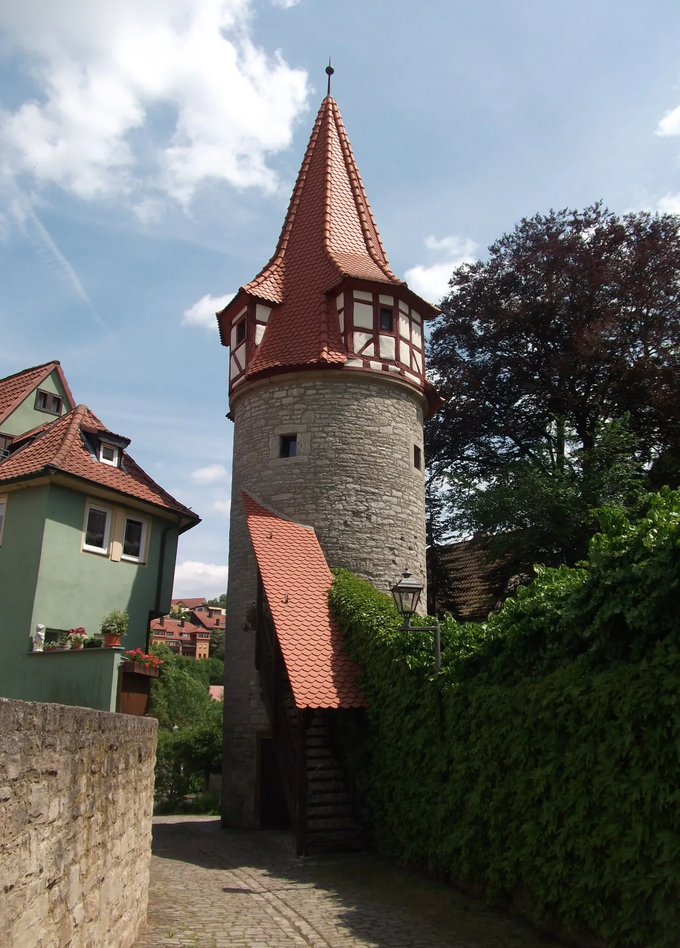
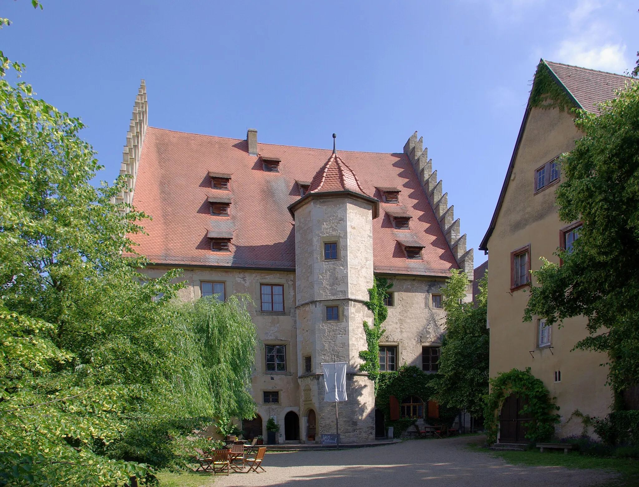
Embark on an unforgettable adventure along the world-famous Romantic Road, starting from Obernbreit. This 102 km road cycling route with an elevation gain of 772 m will take you through picturesque towns, medieval castles, and enchanting landscapes. Starting in Obernbreit, you'll pass by Marktbreit, a delightful town known for its well-preserved medieval center. Discover the ruins of Reichelsburg, a historic castle with panoramic views of the Franconian countryside. Ride through the vineyards of Röttingen and ascend Auber Berg for breathtaking views. Enjoy the scenic beauty of Bad Mergentheim, a spa town with a rich history. As the route brings you back to Obernbreit, stop by Streitberg, known for its charming old town and castle ruins.
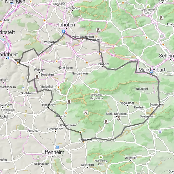
Wine and Hills
Rediscover the charm of vineyards on this hilly route.
Experience the mesmerizing beauty of vineyards as you cycle through the hilly landscape near Obernbreit. This route offers a perfect blend of challenging ascents and breathtaking views. The 121 km distance and 1187 m of ascent provide an ideal challenge for well-trained amateurs. The route takes you to Ochsenfurt, Kleinrinderfeld, and Waldbrunn before reaching Hohe Birke, Lerchenberg, and finally Segnitz.
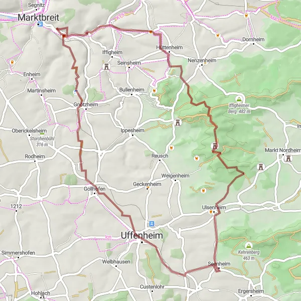
Embark on a thrilling gravel adventure through the Bavarian countryside, starting from Obernbreit.
Get ready for an epic gravel adventure through the beautiful Bavarian countryside. This 54 km route with an ascent of 540 m offers a mix of off-road trails, scenic paths, and rustic villages. Starting in Obernbreit, you'll ride through Markt Herrnsheim, a charming village known for its half-timbered houses and beautiful surroundings. Climb the Steinbuckel for panoramic views of the vineyards and enjoy the tranquility of Hoher Landsberg. Explore the ruins of Burgruine Hohenlandsberg, an ancient fortress steeped in history. Ride through Uffenheim, known for its traditional Franconian architecture and vibrant atmosphere. Conclude your adventure in Obernbreit, where you can relax and soak in the picturesque Main river views.
The Castle and Vineyard Tour
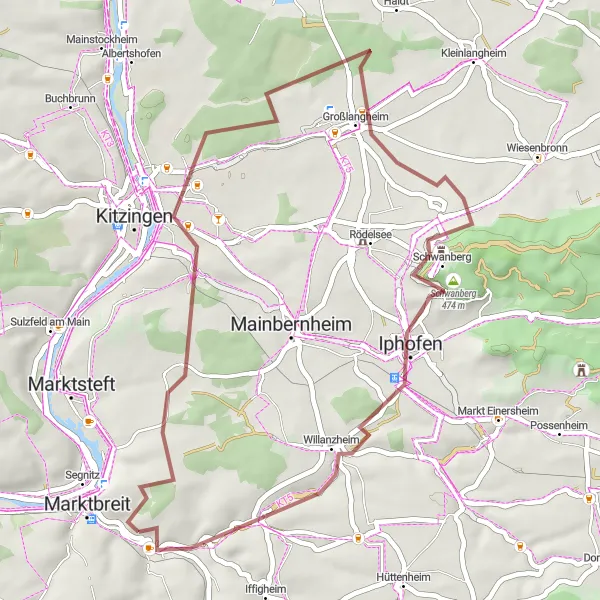
Explore picturesque castles and vineyards on the enchanting Castle and Vineyard Tour.
The Castle and Vineyard Tour is a delightful cycling route that showcases the rich history and stunning natural beauty of Unterfranken. Starting near Obernbreit, the 42-km long route will take you through charming villages, vineyards, and past majestic castles. Pedal your way through tranquil countryside, surrounded by rolling hills and picturesque landscapes. The highlight of the route is the Schloss Schwanberg, a magnificent castle nestled in the vineyards. Take a moment to admire its grandeur and soak in the beauty of the surrounding scenery.
Off the Beaten Path
Go off-road and explore the scenic gravel routes near Obernbreit.
Are you ready for an off-road adventure? Take your gravel bike and explore the picturesque gravel routes near Obernbreit. This 40 km route, with an ascent of 380 m, is perfect for those seeking a unique cycling experience. Enjoy scenic views of Kitzingen and Iphofen before reaching Tiefenstockheim.
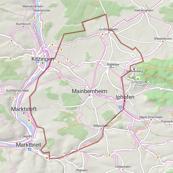
Wine and Castles
Discover the charm of castles and vineyards on this scenic route.
This picturesque route combines the allure of castles with the natural beauty of vineyards near Obernbreit. With an ascent of 680 m and a distance of 79 km, this route offers a perfect blend of challenging terrain and cultural highlights. Explore Kitzingen and Prichsenstadt before reaching Geiselwind and Hüttenheim for panoramic views and historic castles.
Cycling routes nearby:
Nearby regions: