Magical Gravel Routes in Unterfranken
A gravel cycling route starting from Willanzheim
Experience the enchanting gravel routes of Unterfranken
Map
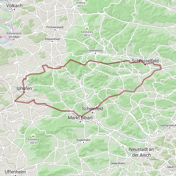
Embark on a magical gravel adventure through the scenic routes of Unterfranken. With a distance of 83 km and an ascent of 996 m, this route takes you through diverse landscapes, including forests, vineyards, and charming villages. The challenging terrain and stunning surroundings make it an ideal choice for experienced gravel cyclists.
gravel
83 km
996 m
Tough
Route profile
Highlights on the route
0 km
0 km
Start: Willanzheim Village centerWillanzheim: Discover Cycling Bliss in Willanzheim
Willanzheim, located in Unterfranken, Germany, is a charming town filled with cycling opportunities. The locality offers well-maintained roads and bike paths, making it easy for road and gravel cyclists to navigate around the area. Riders can enjoy peaceful rides through vineyards, forests, and picturesque countryside, immersing themselves in the natural beauty of Willanzheim. Additionally, the town is known for its warm hospitality and cyclist-friendly accommodations, providing a comfortable base for exploring the region. Willanzheim is also close to the famous XYZ Hill, attracting cycling enthusiasts from all over the world. Whether you're a leisure rider or a seasoned cyclist, Willanzheim offers a fantastic destination for your next cycling adventure.12 km
12 km
Schiller290 mPeakSchiller's birthplace, Wiesenbronn, reveals itself with its beautiful vineyards and half-timbered houses.
13 km
13 km
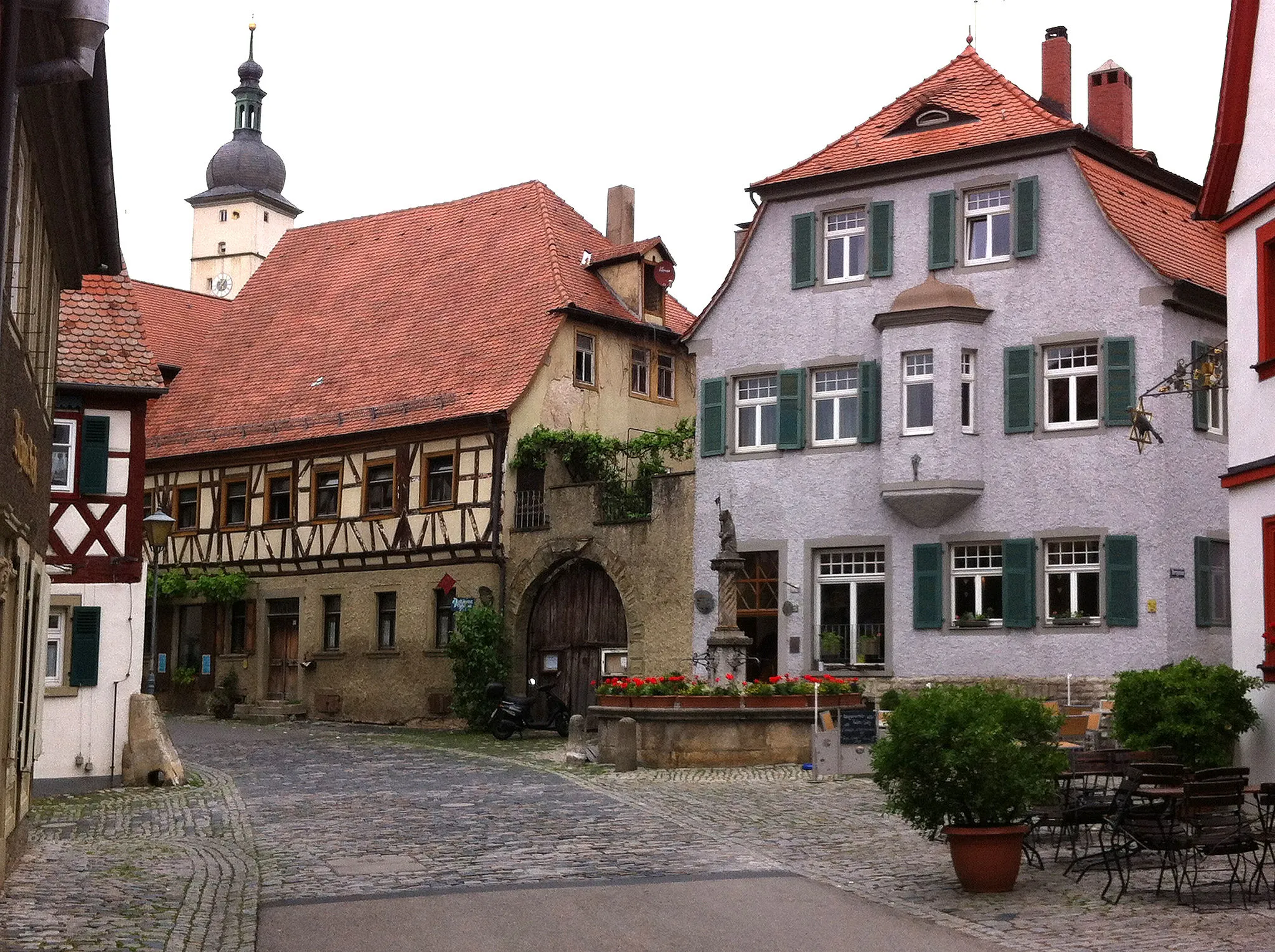
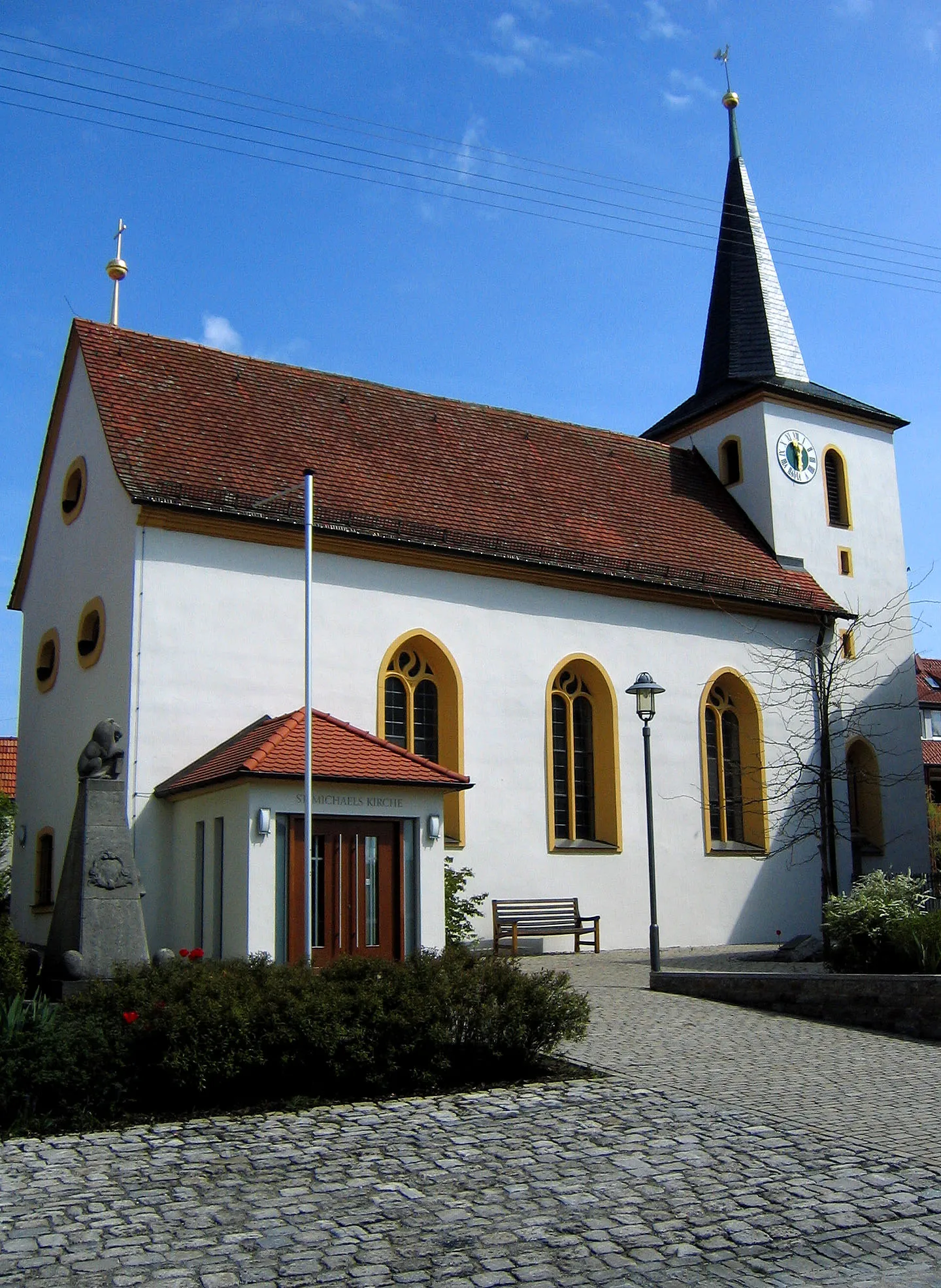
WiesenbronnVillagePass through the idyllic village of Wiesenbronn, known for its winemaking traditions and charming rural landscapes.
23 km
23 km
Trauberg466 mPeakCycle uphill to Trauberg and admire its impressive castle ruins, offering panoramic views.
31 km
31 km
SixtenbergVillageSavor the picturesque Sixtenberg village, famous for its beautiful Stellberg Castle.
39 km
39 km
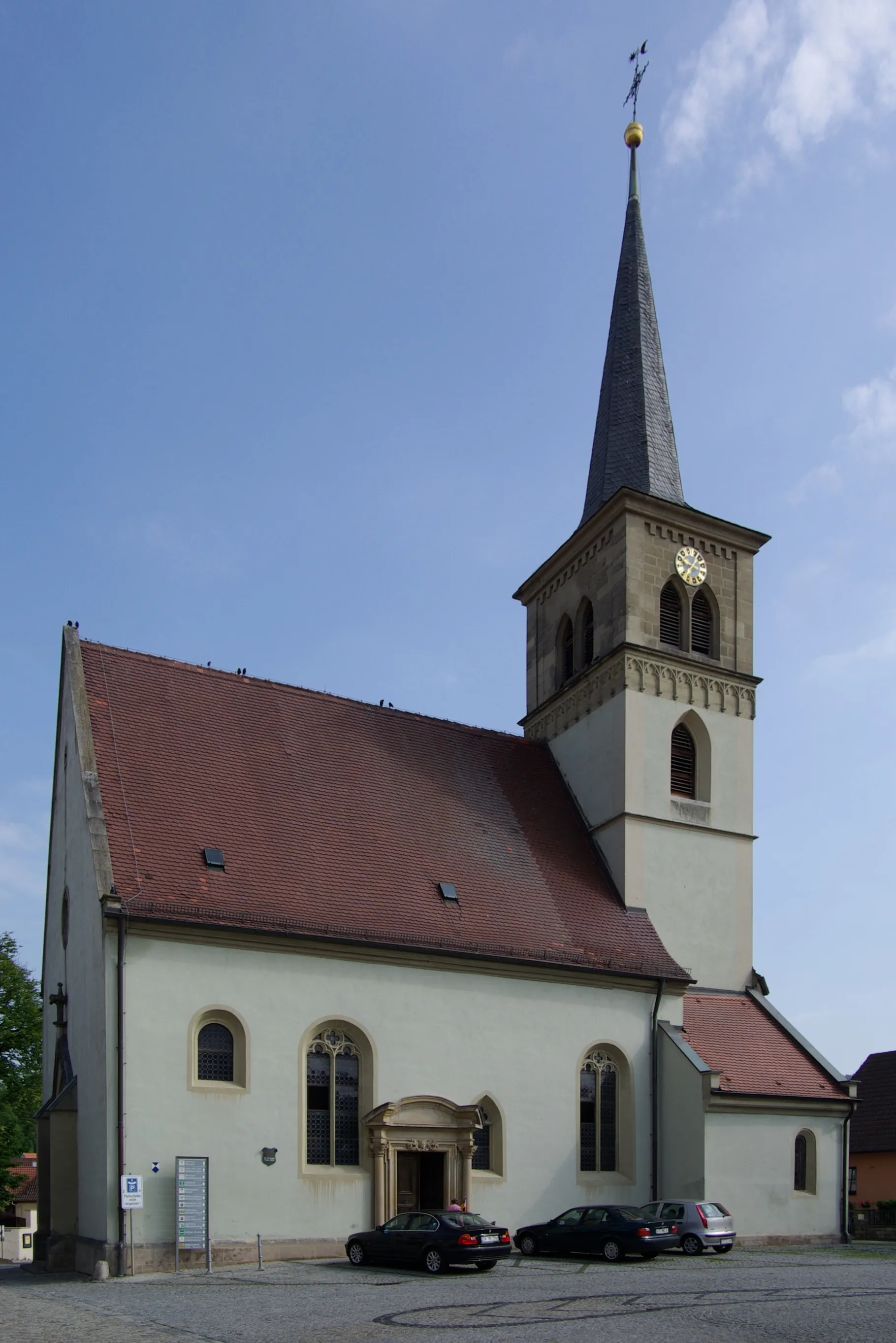
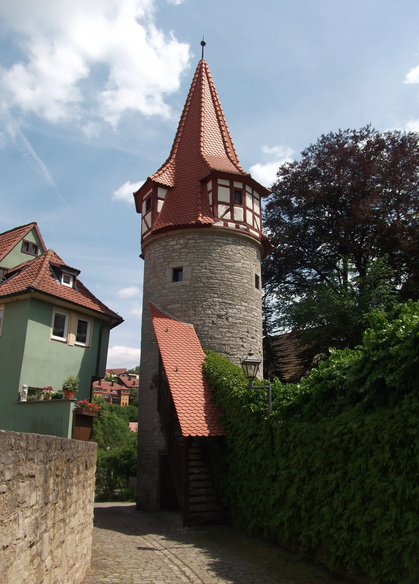
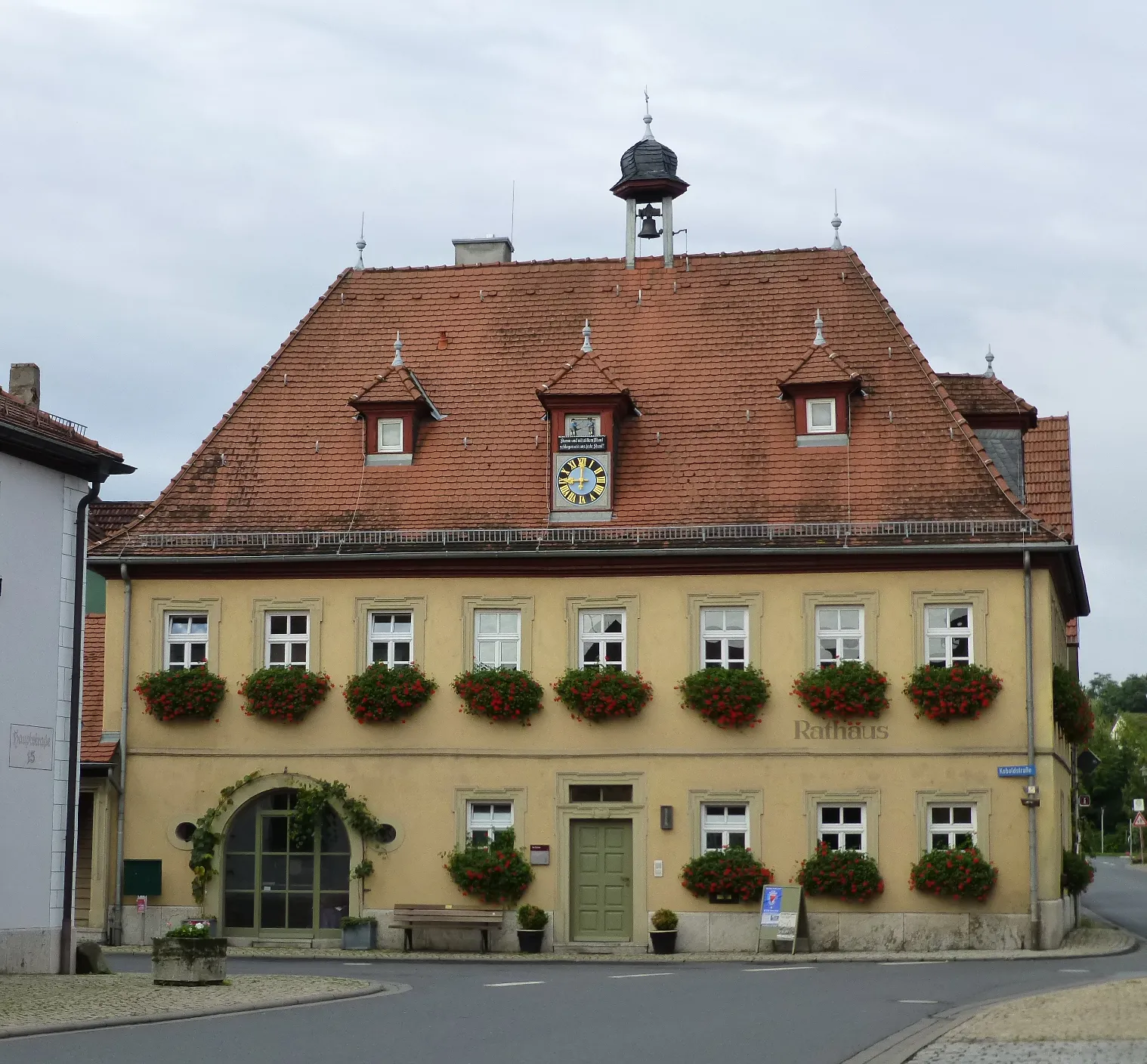
SchlüsselfeldTownSchlüsselfeld, with its well-preserved medieval town center, is a charming stop along the route.
50 km
50 km
Düllberg393 mPeakExperience the challenging climb of Düllberg, rewarded with stunning views of the surrounding forests and fields.
66 km
66 km
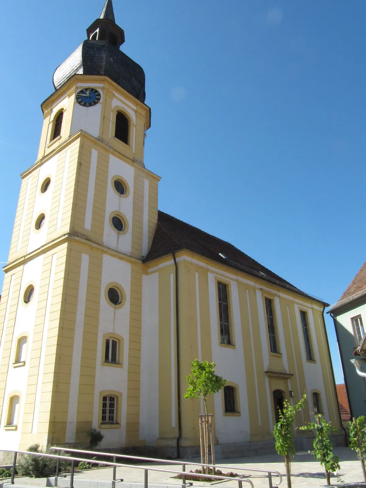
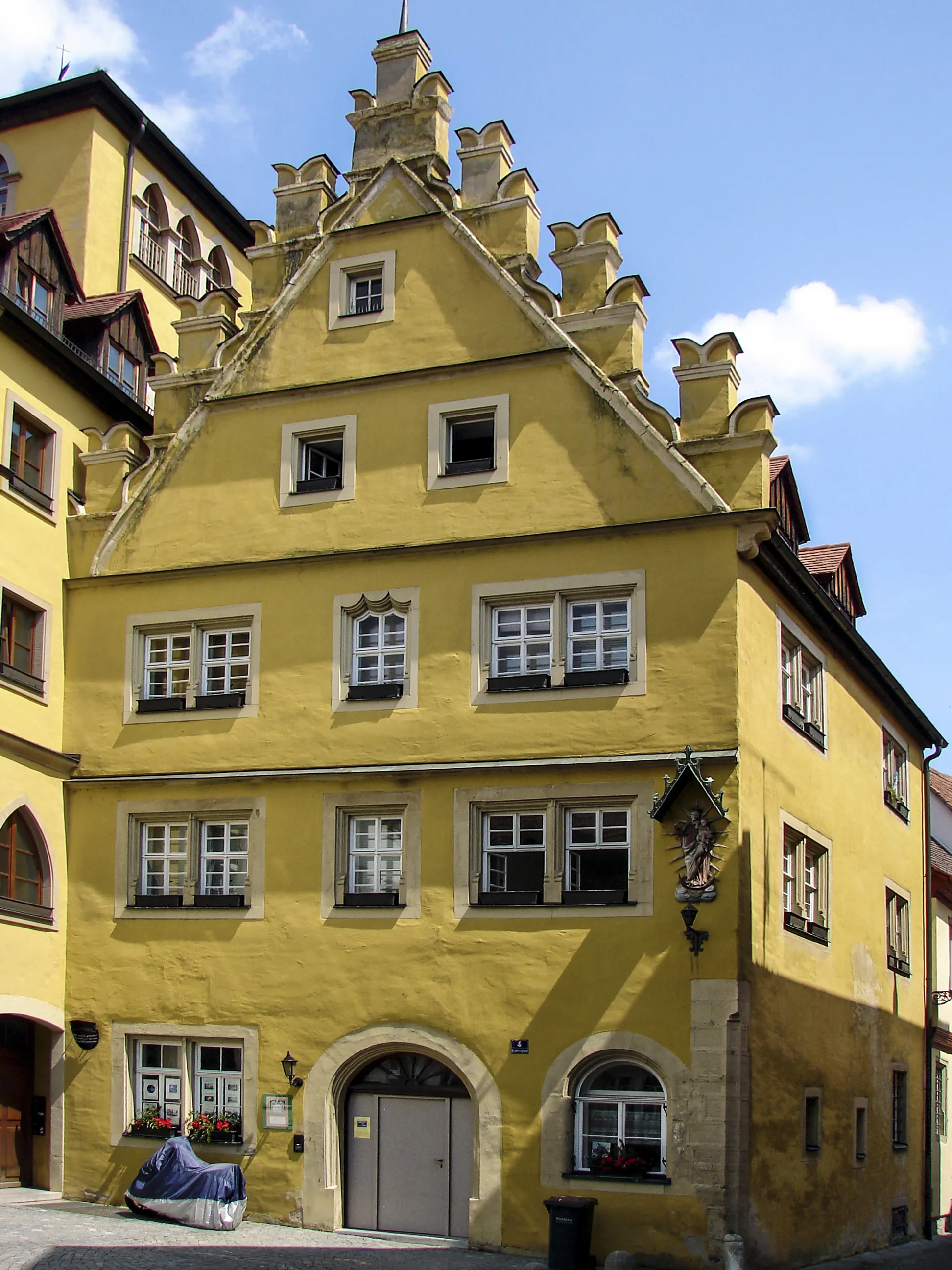
Markt BibartTownMarkt Bibart is a quaint village with beautiful half-timbered houses and a rich cultural heritage.
68 km
68 km
Galgenbuck321 mPeakGalgenbuck is a picturesque hill where you can enjoy panoramic views of the Franconian landscape.
78 km
78 km
Vogelsang-BalkonViewpointVogelsang-Balkon is a popular viewpoint offering breathtaking vistas over the Main River and its surroundings.
78 km
78 km
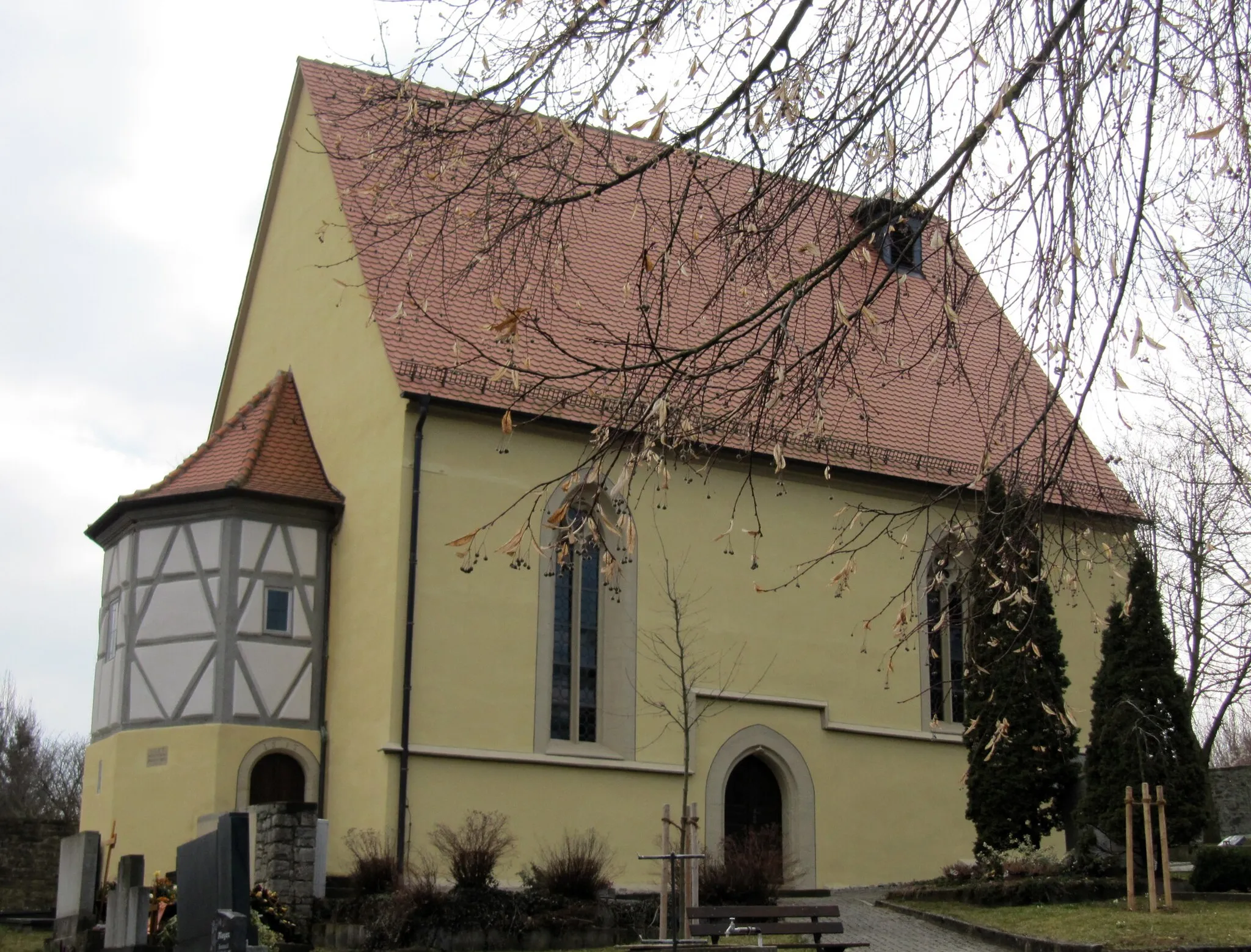
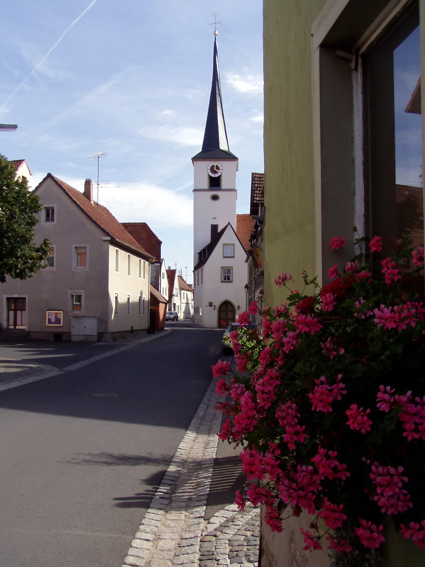
Markt EinersheimVillageMarkt Einersheim is a charming village with historic buildings and vineyards, perfect for a leisurely exploration.
83 km
83 km
Finish: Willanzheim Village centerWillanzheim: Discover Cycling Bliss in Willanzheim
Cycling routes from Willanzheim:
Iphofen and Surroundings Discover Gravel Roads near Mainbernheim Magical Gravel Routes in Unterfranken Cycling Adventure in Southern Unterfranken Scenic Road Cycling from Iphofen to Markt Herrnsheim Enheim to Kitzingen Loop Mönchsondheim and Burgruine Hohenlandsberg Gravel Route Segnitz to Mainbernheim Road Route Nordheim am Main and Mainbernheim Gravel Route Hoher Landsberg and Burgruine Hohenlandsberg Gravel Route The Willanzheim Loop
Cycling routes nearby: