Main River Scenic Ride
A road cycling route starting from Rodelsee
Experience the beauty of the Main River as you cycle along its picturesque banks and visit charming riverside towns.
Map
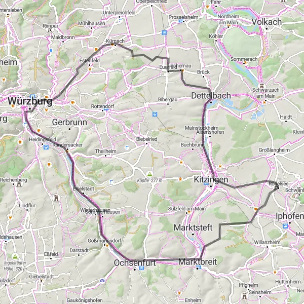
The Main River Scenic Ride offers a scenic cycling experience along the enchanting Main River. With a distance of 76 kilometers and an ascent of 408 meters, this road cycling route provides a moderately challenging ride. The route is suitable for well-trained amateurs seeking a delightful journey through idyllic landscapes. Enjoy the serenity of the river views and visit the charming towns and villages that dot the riverbanks.
road
76 km
408 m
Tough
Route profile
Highlights on the route
0 km
0 km
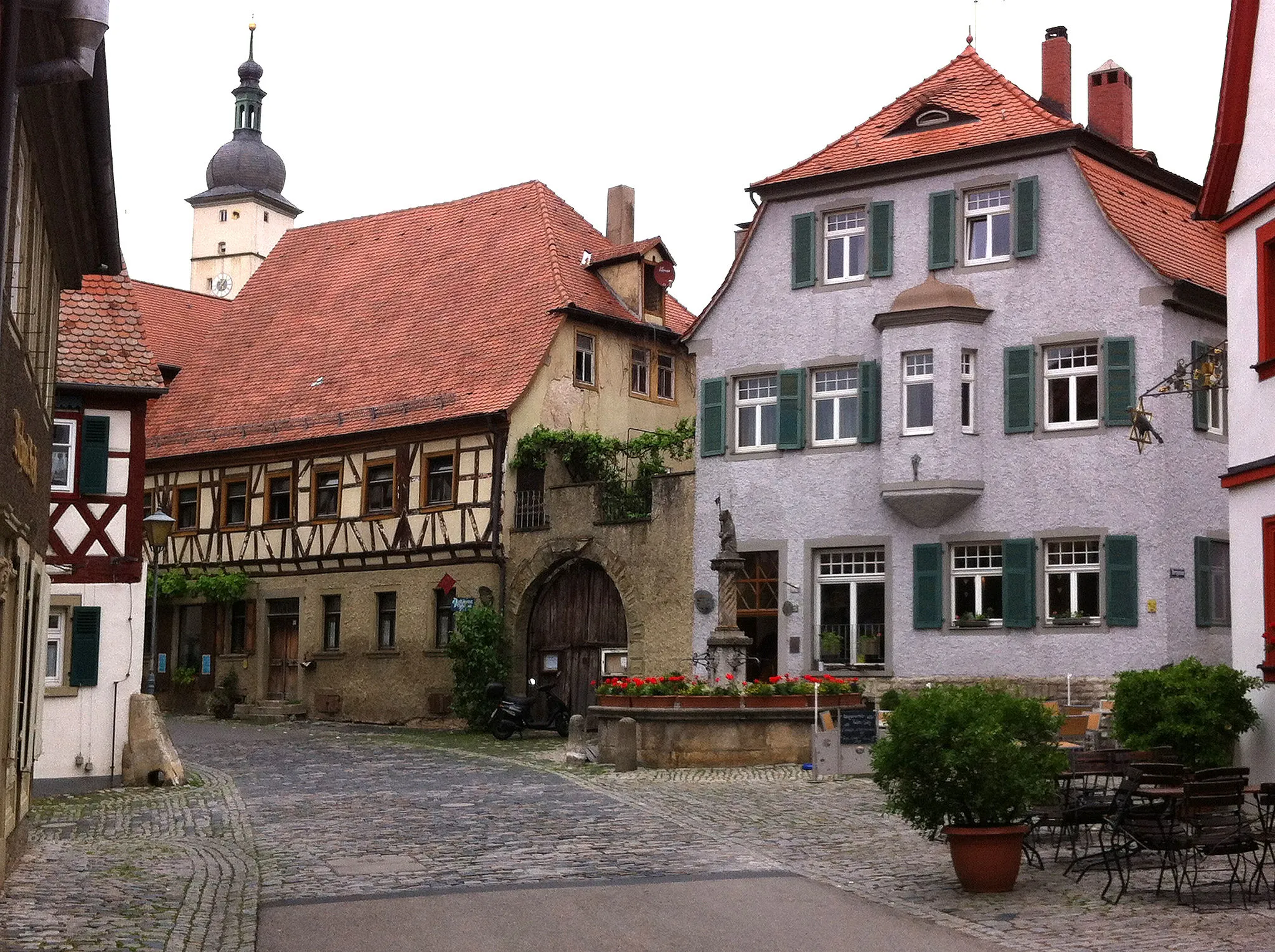
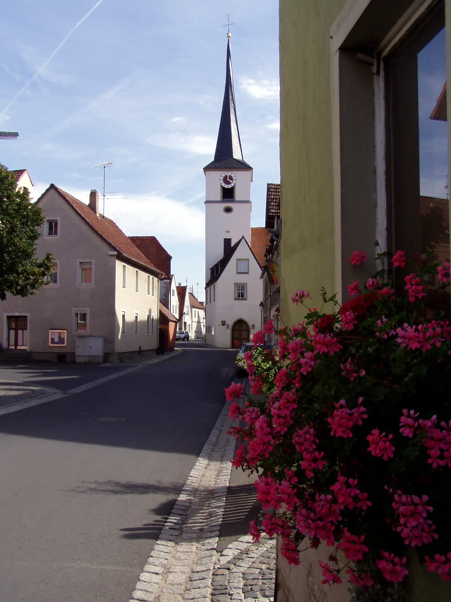
Start: Rödelsee Village centerRödelsee: Hidden gem for scenic cycling routes amidst vineyards.
Rödelsee, a locality in Unterfranken, Germany, is a hidden gem for cyclists. The region offers a combination of flat stretches and rolling hills, making it suitable for road cycling and gravel riding. Cyclists can enjoy well-maintained roads and gorgeous countryside scenery dotted with vineyards. A popular cycling spot near Rödelsee is the Franconian Wine Bike Trail, which takes riders through stunning vineyard landscapes. With its peaceful atmosphere and scenic cycling routes, Rödelsee is a great destination for cyclists.12 km
12 km
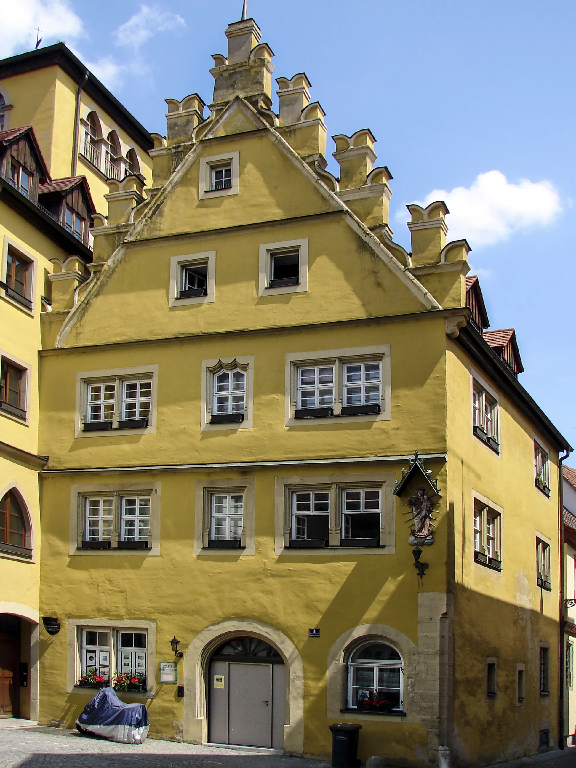
MarktbreitTownStop in Marktbreit and explore its well-preserved medieval old town with its colorful half-timbered houses.
23 km
23 km
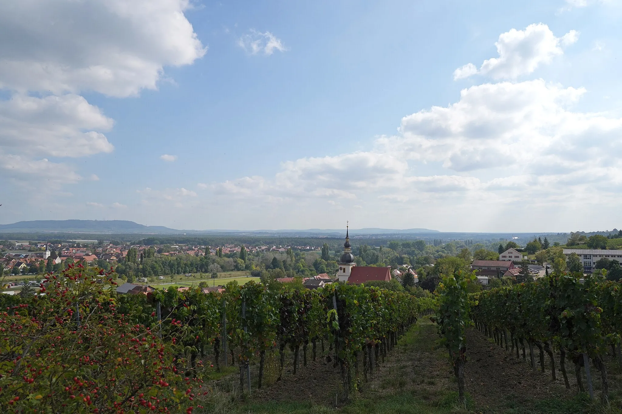
SommerhausenVillageIn Sommerhausen, stroll through the town's charming streets and enjoy a taste of local wines.
36 km
36 km
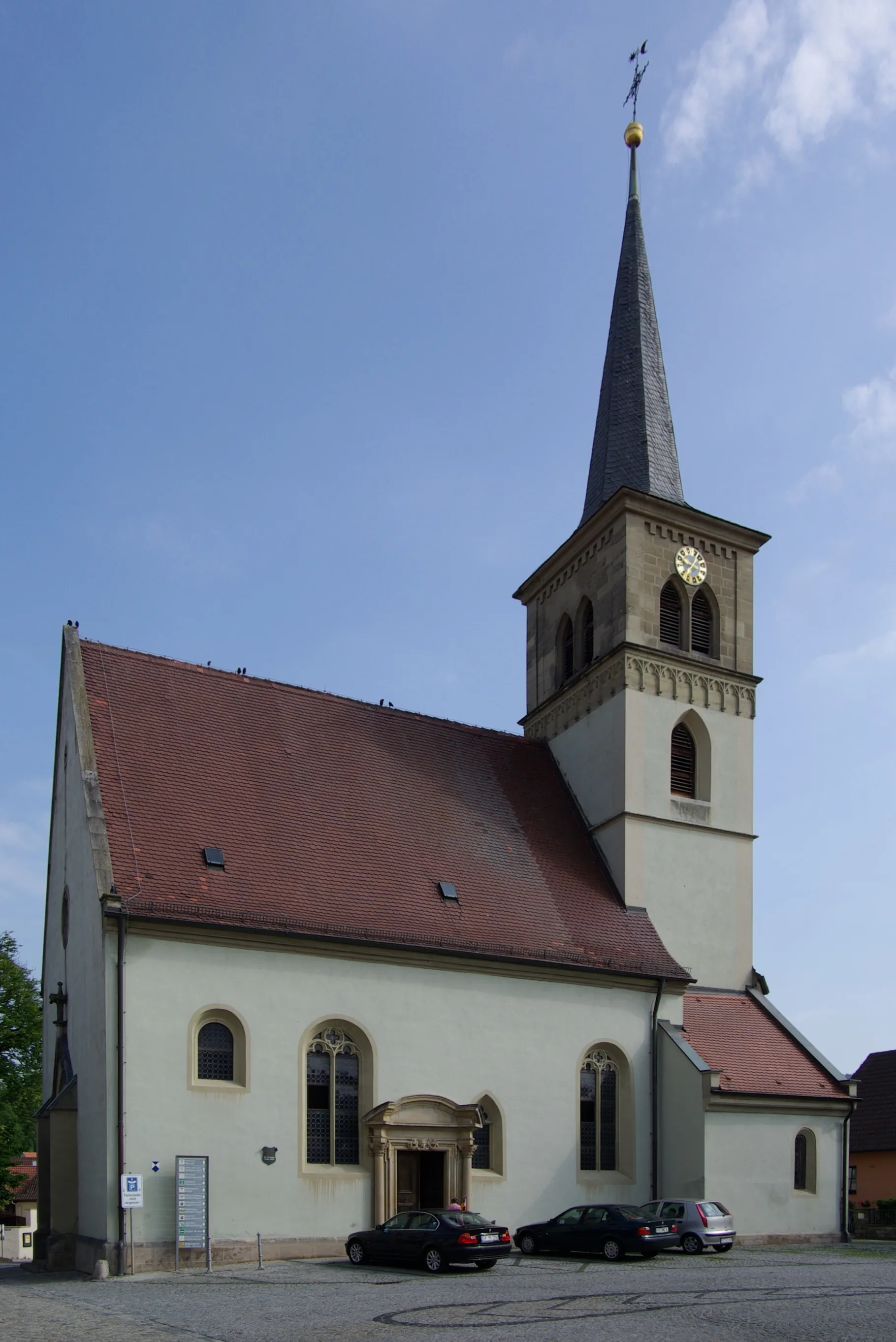
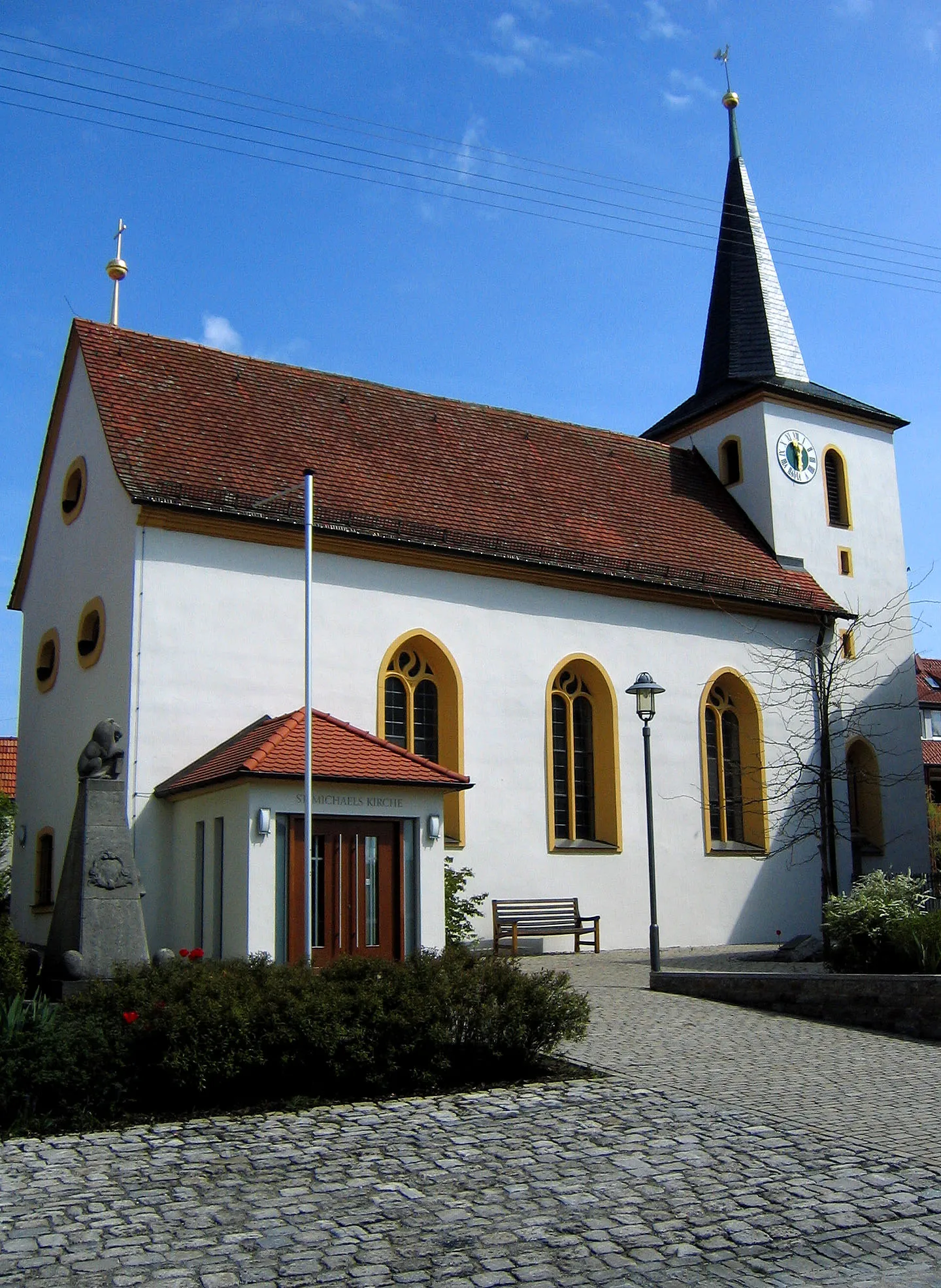
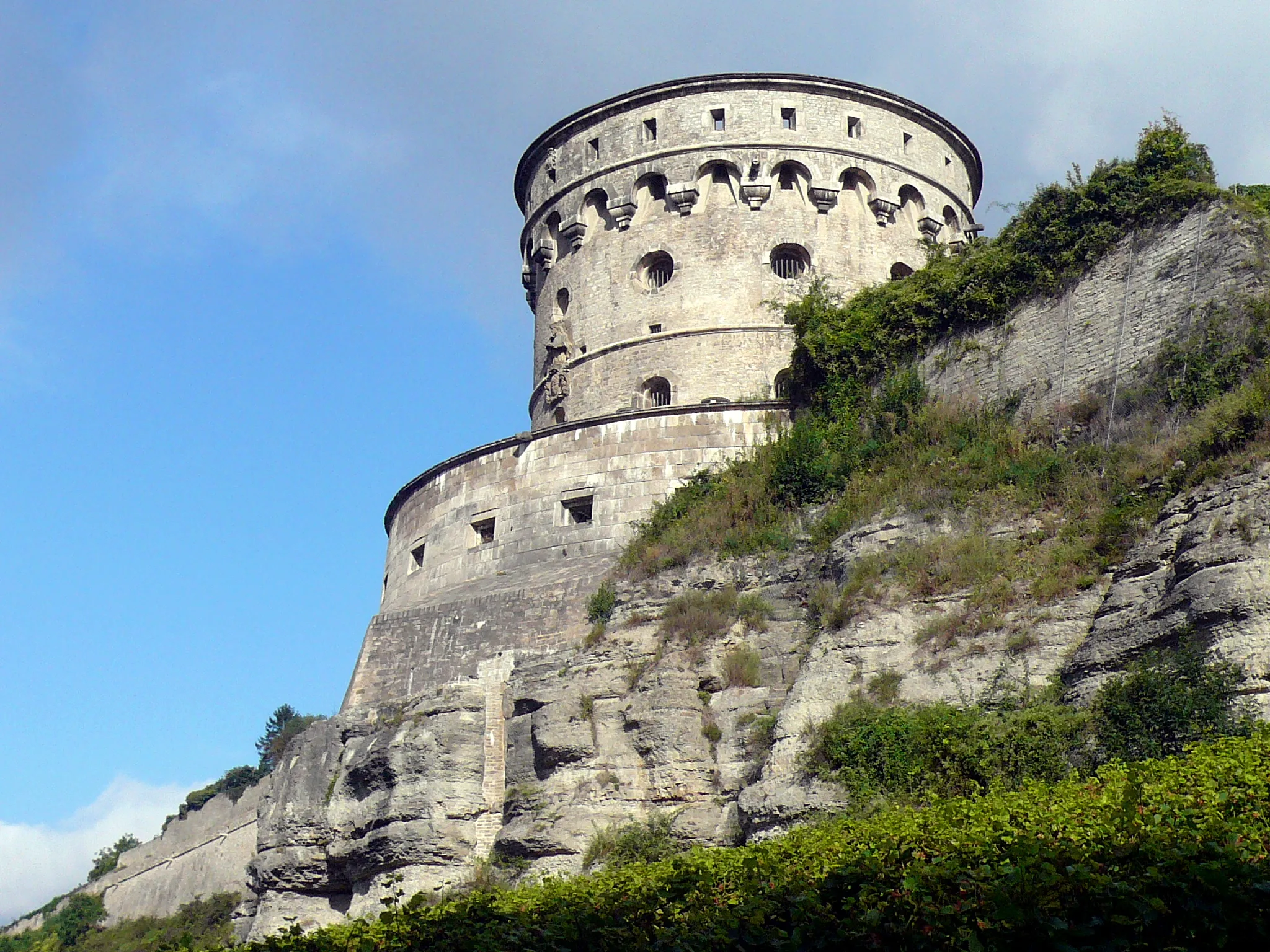
Marienberg267 mPeakDiscover Marienberg and its impressive baroque church, which dominates the town's skyline.
45 km
45 km
EicheleinViewpointAt Eichelein, marvel at the ancient oak tree with a trunk diameter of over one meter.
61 km
61 km
DettelbachTownDettelbach is known for its well-preserved medieval walls and picturesque old town.
69 km
69 km
Aussichtspunkt WinterhafendammViewpointClimb to the Aussichtspunkt Winterhafendamm for breathtaking panoramic views of the Main River.
69 km
69 km
KitzingenTownKitzingen offers a delightful mix of Renaissance architecture and traditional Franconian charm.
76 km
76 km
Finish: Rödelsee Village centerRödelsee: Hidden gem for scenic cycling routes amidst vineyards.
Cycling routes from Rodelsee:
The Gravel Adventure of Unterfranken The Wine Route Castles and Countryside The Vineyards and Rivers of Unterfranken Main River Scenic Ride The Gravel Hill Challenge of Unterfranken The Gravel Adventure Vineyards and Valleys Gravel Ride The Rivers and Hills of Unterfranken The Charming Trail of Mainbernheim Iphofen and the Vineyards of Lower Franconia
Cycling routes nearby: