Schwanberg Gravel Loop
A gravel cycling route starting from Kleinlangheim
Explore the scenic routes near Kleinlangheim with this challenging gravel loop around Schwanberg.
Map
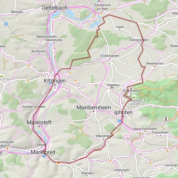
This gravel loop takes you through the picturesque countryside near Kleinlangheim. With a total distance of 51 kilometers and 380 meters of ascent, it offers a challenging yet rewarding ride. Along the way, you'll pass through charming towns such as Marktbreit and Sulzfeld am Main, and enjoy stunning views from Aussichtspunkt Winterhafendamm. The route is suitable for gravel bikes and offers a mix of scenic backroads and off-road sections. Overall, this route offers a unique perspective of the Unterfranken region.
gravel
51 km
380 m
Tough
Route profile
Highlights on the route
0 km
0 km
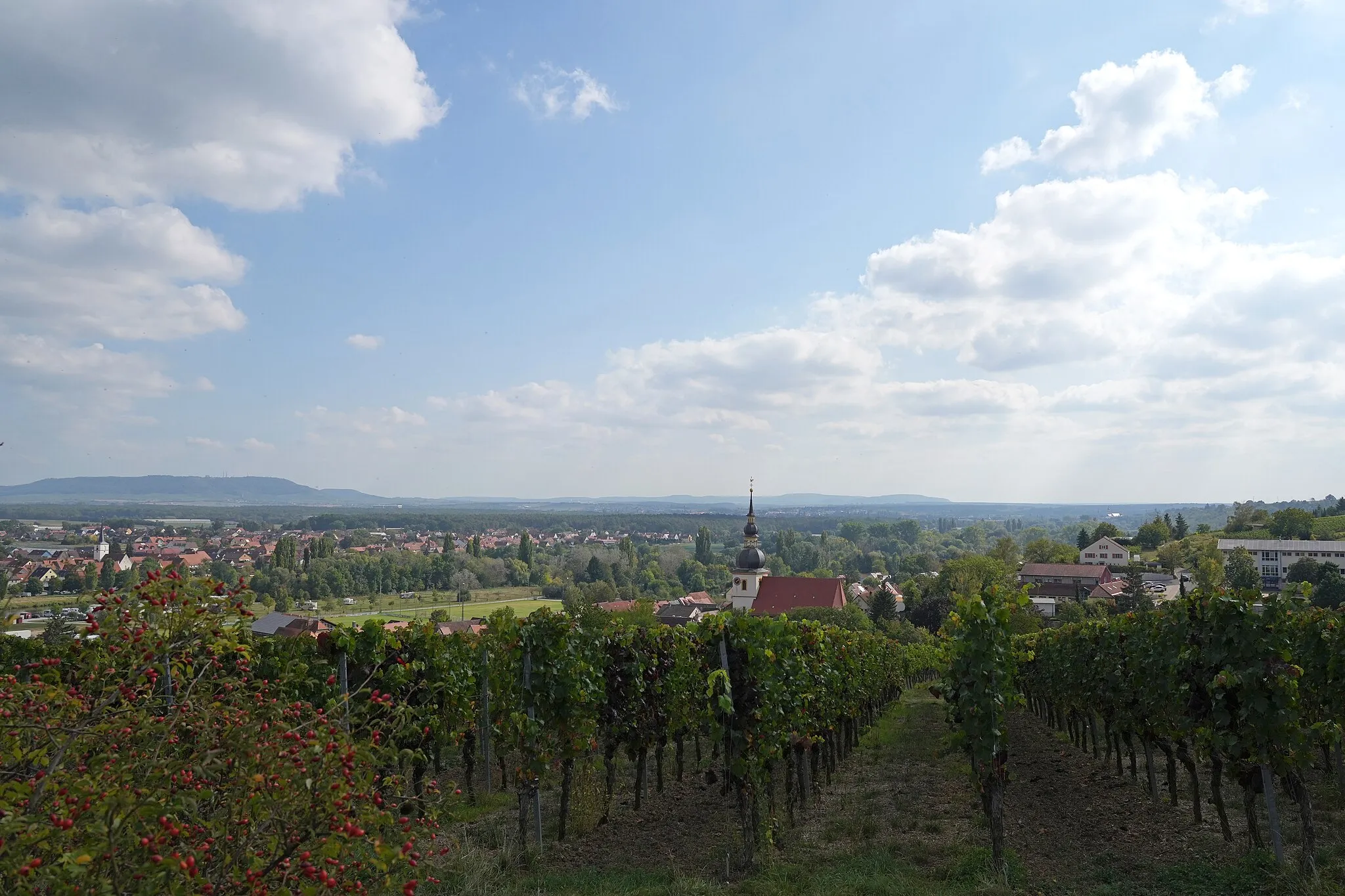
Start: Atzhausen Village centerKleinlangheim: Cycling through the picturesque Franconian vineyards.
Kleinlangheim, situated in Unterfranken, Germany, provides an enjoyable cycling experience for both road and gravel cyclists. The town is surrounded by vineyards and rolling hills, offering a scenic and peaceful cycling environment. Roads are well-maintained and generally quiet, making it ideal for cyclists who enjoy a tranquil ride. One popular cycling route nearby is the Steigerwald Panorama Route, which showcases the beauty of the Franconian wine region. With its charming vineyards and cycling-friendly infrastructure, Kleinlangheim is a great choice for cyclists looking for a relaxing and scenic ride. 2 km
2 km
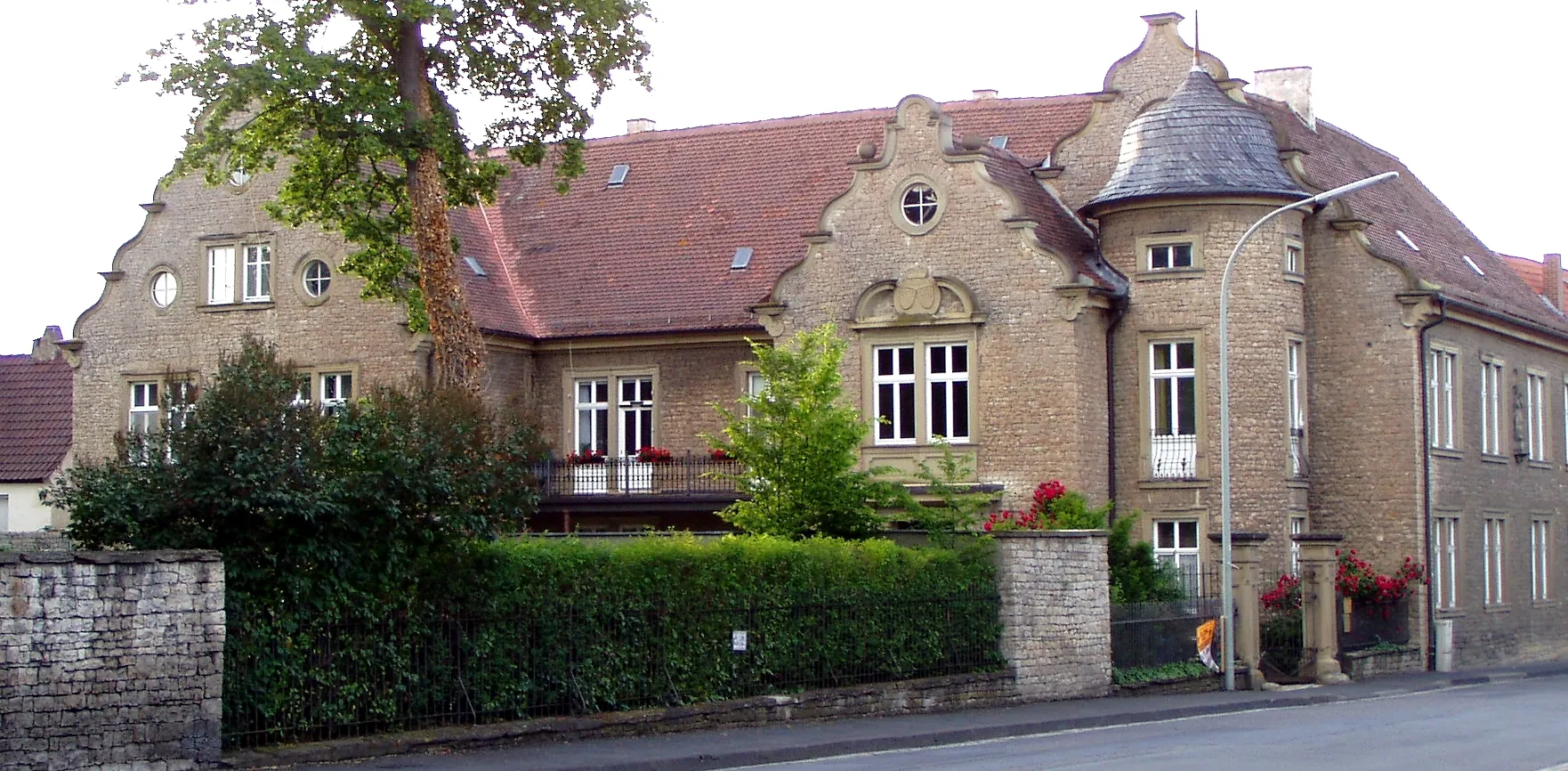
KleinlangheimVillageKleinlangheim is a charming town known for its traditional Franconian wine culture.
11 km
11 km
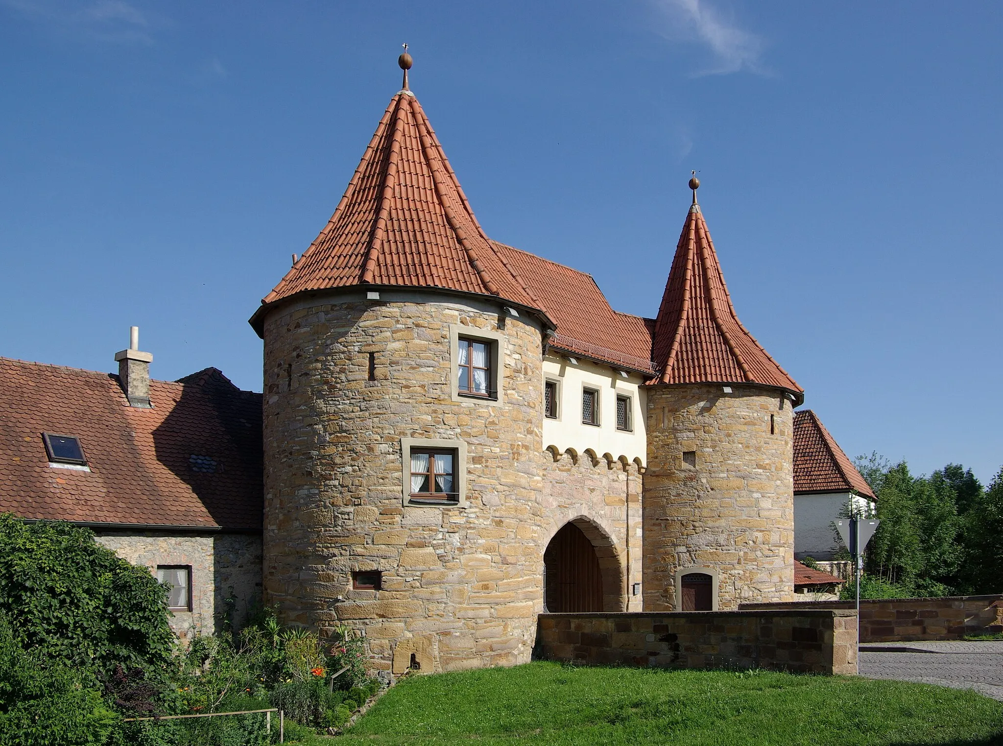
Schwanberg474 mPeakSchwanberg is a medieval castle with a rich history and offers breathtaking panoramas of the surrounding area.
26 km
26 km
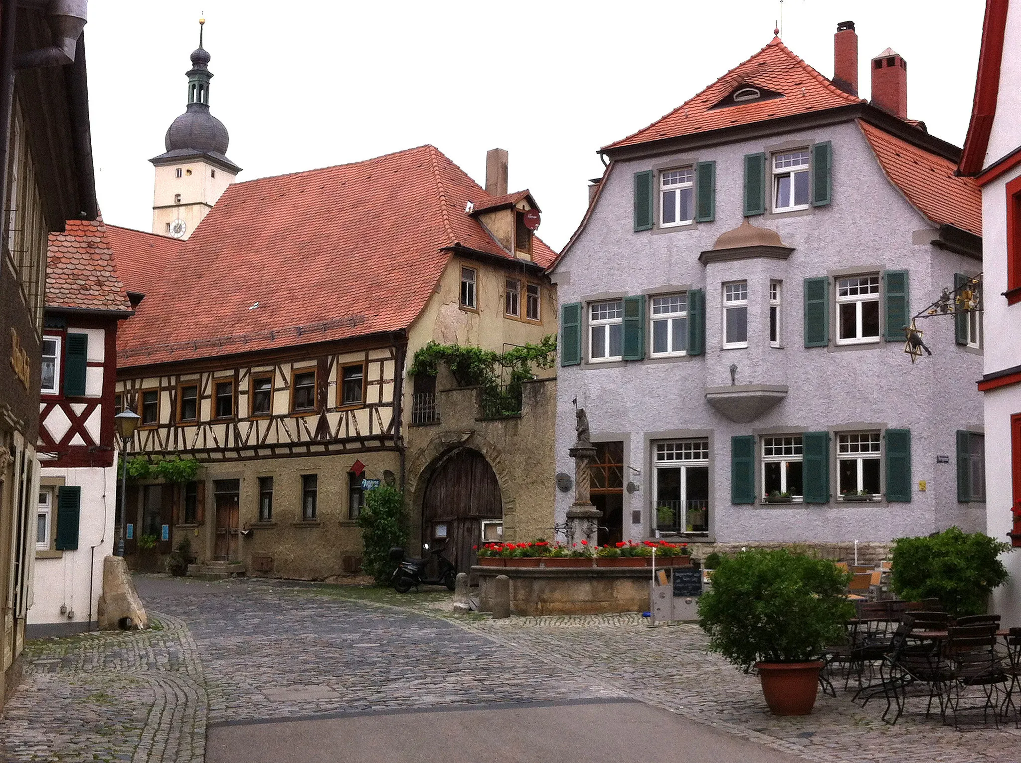
MarktbreitTownMarktbreit is a historic town located on the banks of the Main River, known for its well-preserved half-timbered houses.
32 km
32 km
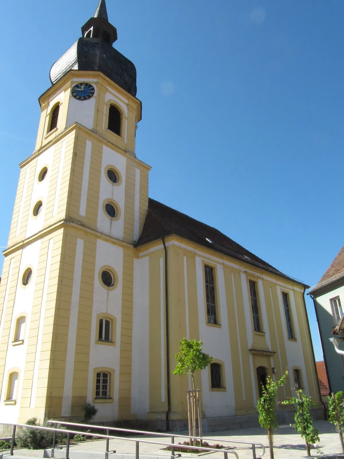
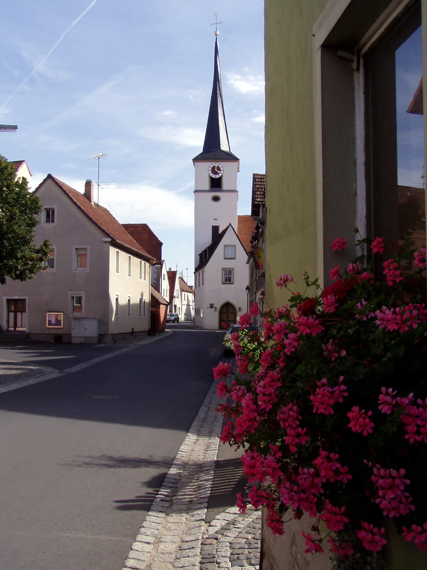
Sulzfeld am MainVillageSulzfeld am Main is famous for its vineyards and offers stunning views of the Main valley.
36 km
36 km
Aussichtspunkt WinterhafendammViewpointAussichtspunkt Winterhafendamm is a popular viewing point that offers panoramic views of the Main River and the surrounding countryside.
47 km
47 km
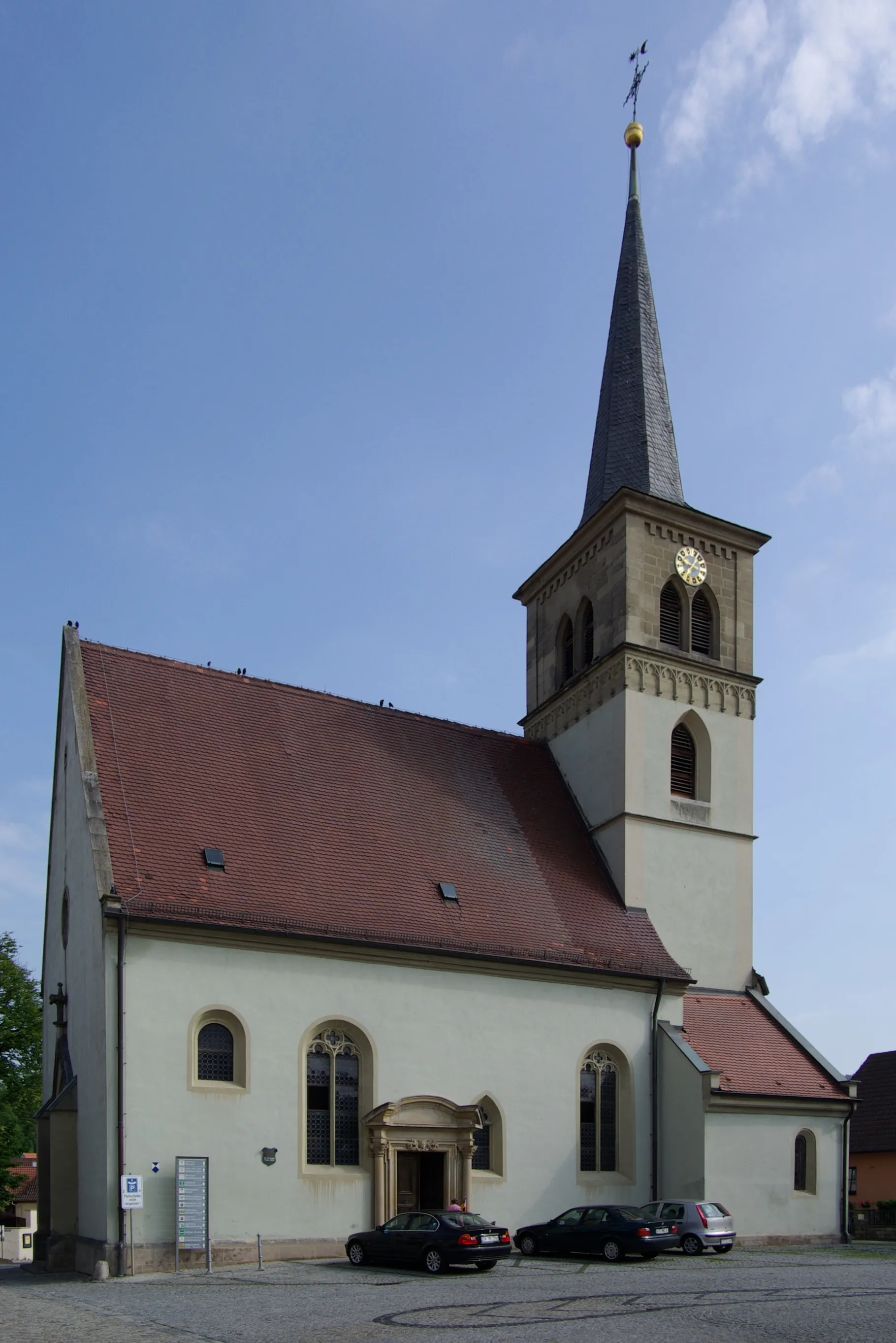
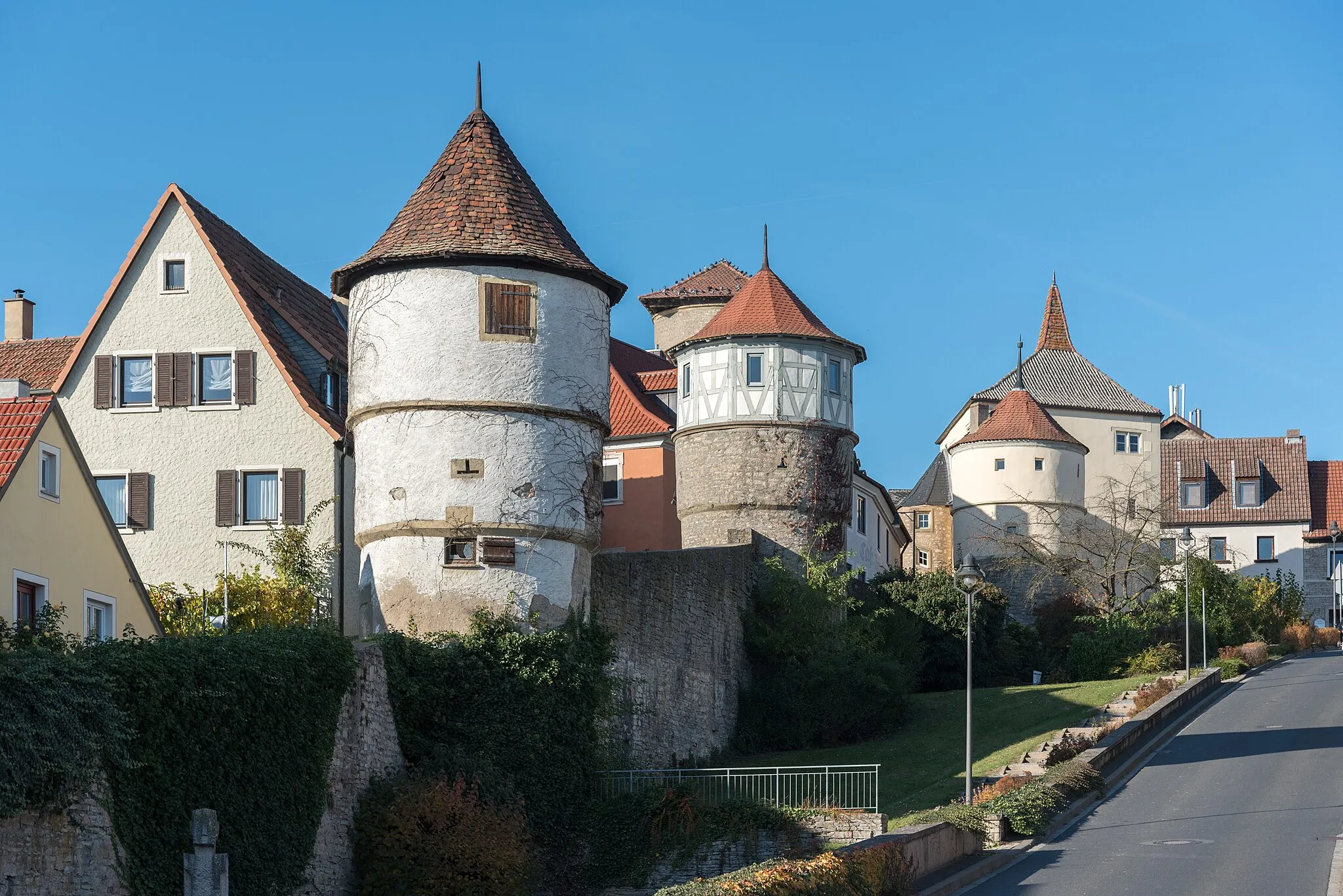
Schwarzach am MainVillageSchwarzach am Main is a charming town with beautiful old buildings and is situated on the banks of the Main River.
51 km
51 km
Finish: Atzhausen Village centerKleinlangheim: Cycling through the picturesque Franconian vineyards.
Cycling routes from Kleinlangheim:
Schwanberg Gravel Loop Wiesentheid Road Loop Main River Valley Epic Nordheim am Main Road Adventure Großlangheim and Dettelbach Gravel Route Dettelbach and Ebersberg Road Loop Wiesentheid and Wiesenbronn Gravel Adventure Wiesentheid and Wiesenbronn Road Loop Schwarzach am Main to Zeilitzheim Gravel Route Schwanberg Loop Wiesentheid Loop
Cycling routes nearby: