Serene Road Cycling Route near Angyalföld
A road cycling route starting from Angyalfoeld
Immerse yourself in the tranquility of nature on this serene road cycling route.
Map
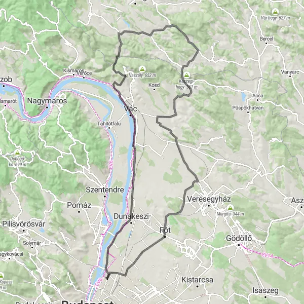
This serene road cycling route takes you through peaceful landscapes, charming villages, and stunning natural surroundings near Angyalföld. Starting near Budapest, the route passes through Attila-kilátóhely, Göd, Kis-Hermány, Szendehely, Homlajt-hegy, Felsőpetény, Penc, Vörös-hegy, Csomád, Új-hegy, Istvántelek, and back to Angyalföld. With challenging climbs, breathtaking descents, and opportunities to spot wildlife, this route guarantees an unforgettable cycling experience. Take your time to enjoy the views, capture memorable photos, and connect with the beauty of the outdoors.
road
113 km
909 m
Tough
Route profile
Highlights on the route
0 km
0 km
Start: Locality centerAngyalföld: Discovering Budapest's urban cycling scene in Angyalföld
Angyalföld is a district located in Budapest, Hungary. From a cyclist's point of view, Angyalföld offers diverse cycling opportunities within the bustling city. With its extensive network of bike lanes and flat terrain, it's an excellent locality for commuting and leisure cycling. Cyclists will appreciate the ease of navigating the city streets and the chance to explore iconic landmarks such as Margaret Island and the sweeping banks of the Danube River. While Angyalföld may not offer significant mountain climbs, it provides a cyclist-friendly environment with vibrant urban scenery.11 km
11 km
Attila-kilátóhelyViewpointAttila-kilátóhely is a lookout point offering panoramic views of the surrounding countryside and the Danube River.
17 km
17 km
GödTownGöd is a scenic town situated on the banks of the Danube River, with charming waterfront promenades and historic buildings.
33 km
33 km
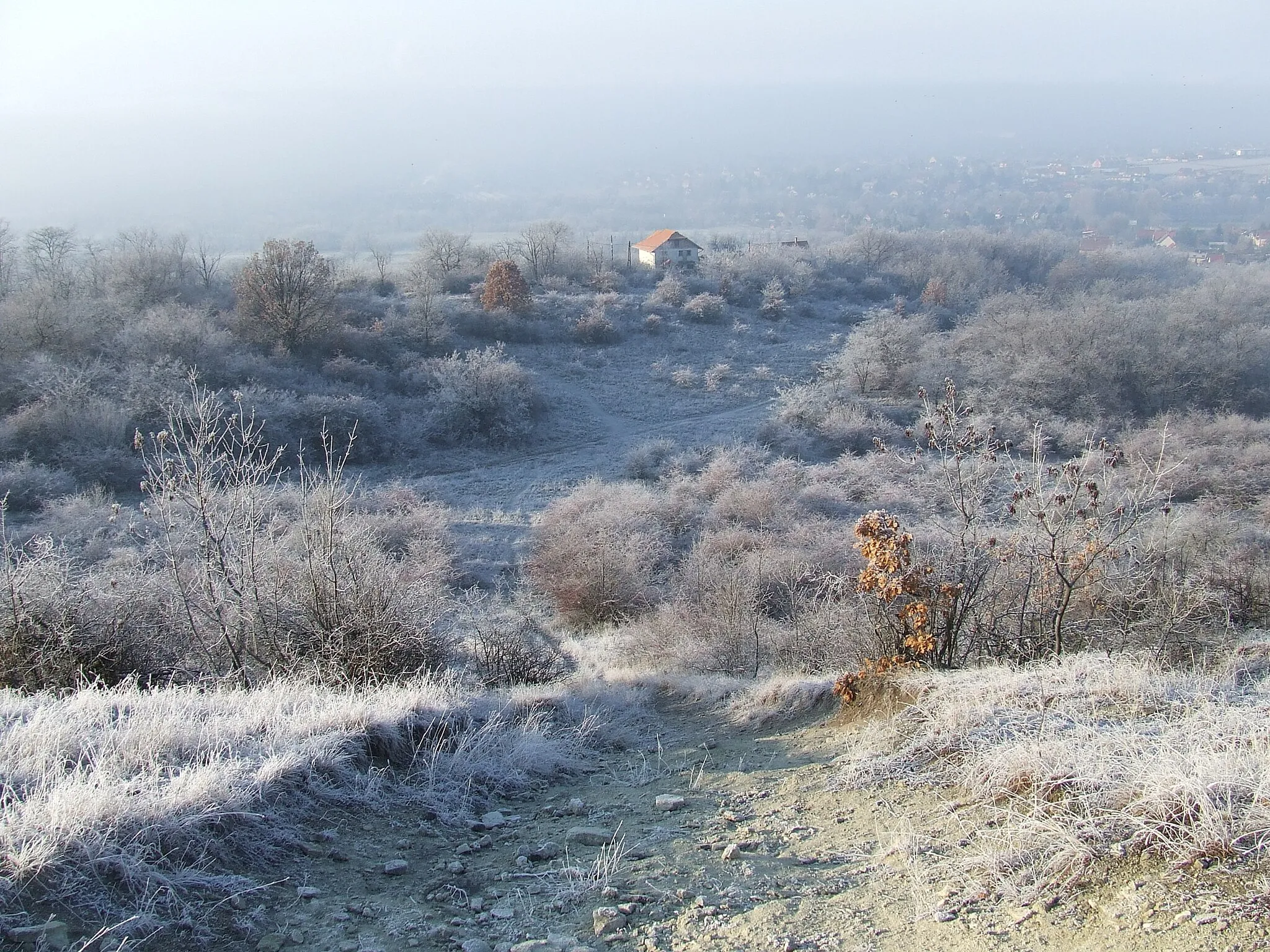
Kis-Hermány204 mPeakKis-Hermány is a small village known for its traditional Hungarian architecture and peaceful atmosphere.
41 km
41 km
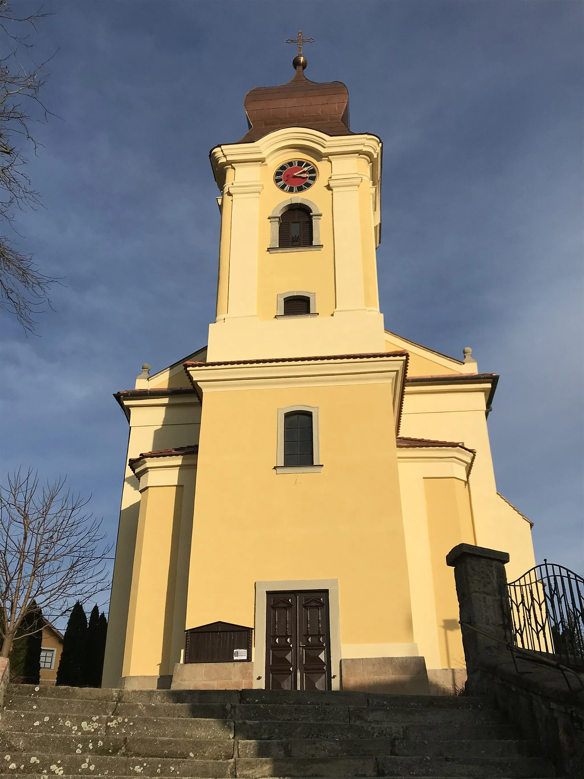
SzendehelyVillageSzendehely is a picturesque village with well-preserved historic buildings and a tranquil rural ambiance.
51 km
51 km
Homlajt-hegy243 mPeakHomlajt-hegy is a hill with a scenic hiking trail leading to a viewpoint overlooking the surrounding valley.
52 km
52 km
FelsőpetényVillageFelsőpetény is a charming village surrounded by rolling green hills, perfect for nature lovers and outdoor enthusiasts.
67 km
67 km
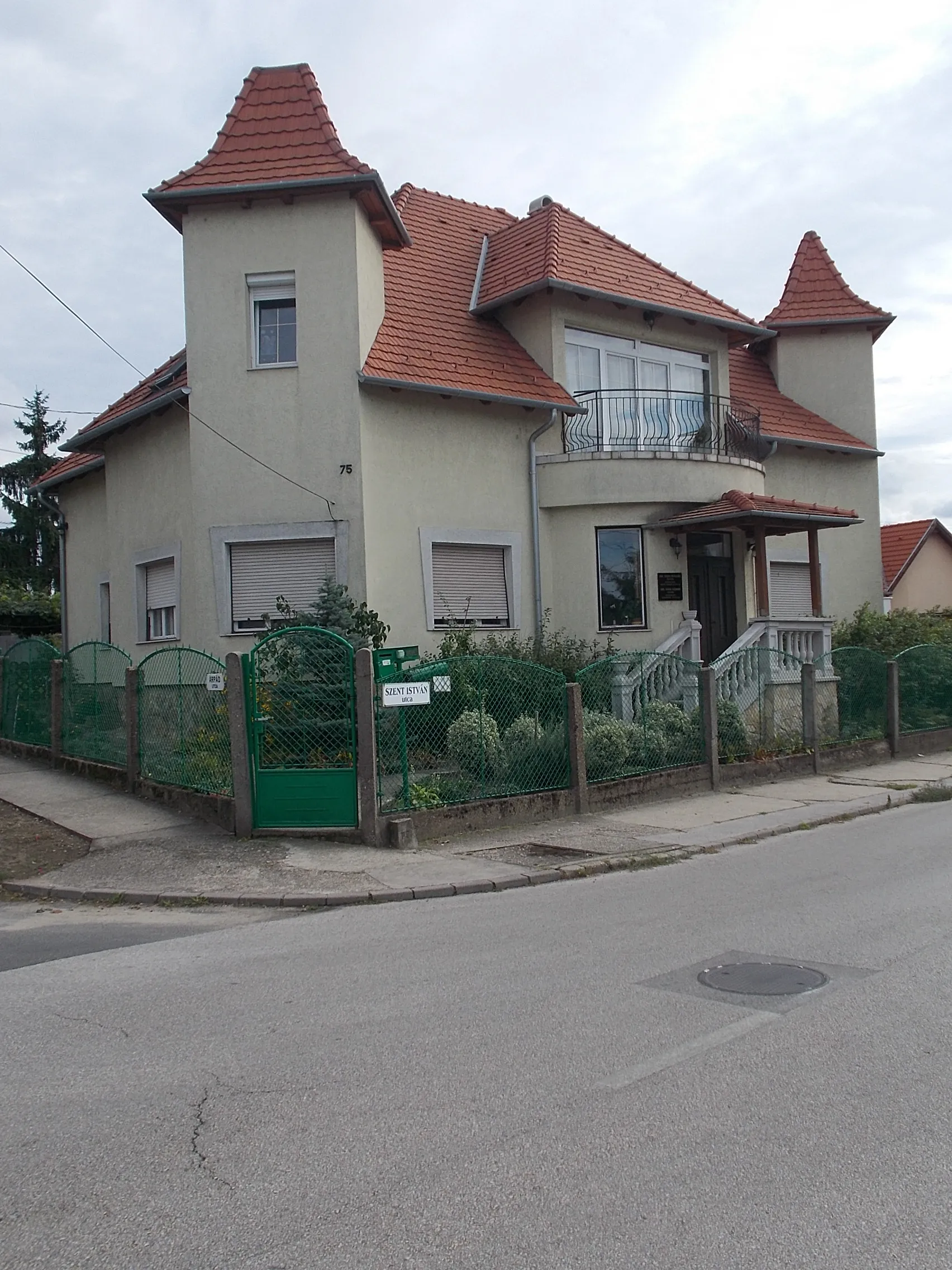
PencVillagePenc is a small town with a historic center and beautiful churches, offering a glimpse into the region's rich history.
70 km
70 km
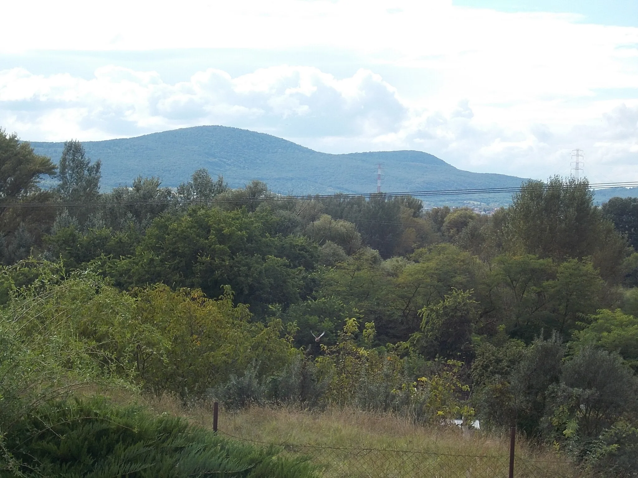
Vörös-hegy185 mPeakVörös-hegy is a picturesque hill with a serene natural environment, ideal for a moment of tranquility during the ride.
93 km
93 km
CsomádVillageCsomád is a traditional Hungarian village with well-preserved historic houses and a peaceful rural atmosphere.
93 km
93 km
Új-hegy255 mPeakÚj-hegy is a small hill with beautiful views of the surrounding countryside and the Danube River.
110 km
110 km
IstvántelekSub-urbIstvántelek is a peaceful village known for its idyllic setting, surrounded by rolling hills and pristine nature.
113 km
113 km
Finish: Locality centerAngyalföld: Discovering Budapest's urban cycling scene in Angyalföld
Cycling routes from Angyalfoeld:
Famous Gravel Circuit Scenic Gravel Escape Challenging Road Cycling Loop from Angyalföld Scenic Road Cycling Route from Angyalföld Serene Road Cycling Route near Angyalföld Mountain Adventure Leisurely Road Cycling Route near Angyalföld Gravel Roller-Coaster City Road Escape Gravel Loop from Angyalföld
Cycling routes nearby: