Janike Táblás gravel route
A gravel cycling route starting from Simontornya
A scenic gravel route with a few challenging ascents
Map
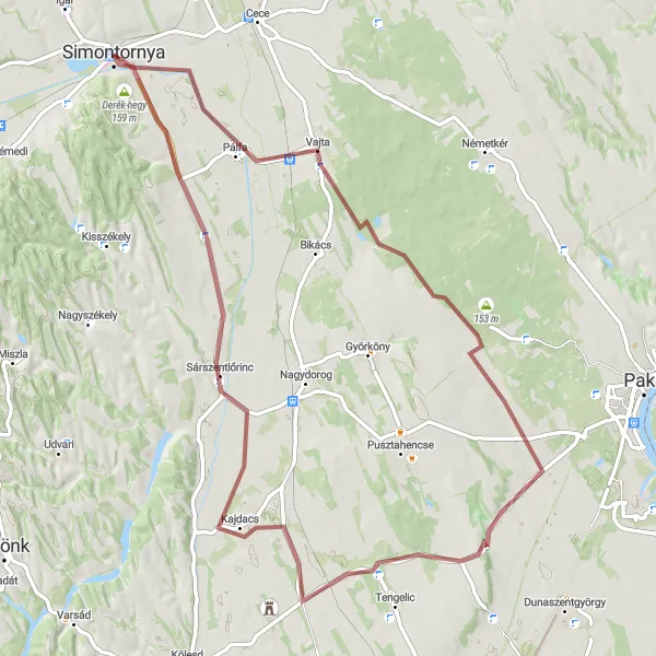
The Janike Táblás gravel route near Simontornya is a scenic adventure that takes you through picturesque landscapes and offers a few challenging ascents. With a distance of 77 kilometers and an ascent of 245 meters, it provides a good workout for well-trained amateur cyclists. The route showcases the beauty of the Dél-Dunántúl region, with highlights including Vajta, Sárszentlőrinc, Derék-hegy, and Simontornya. Cyclists will enjoy riding on gravel roads which add an extra element of adventure to the experience. Overall, this route is both physically demanding and visually rewarding, making it a great choice for nature lovers and gravel enthusiasts.
gravel
77 km
245 m
Tough
Route profile
Highlights on the route
0 km
0 km
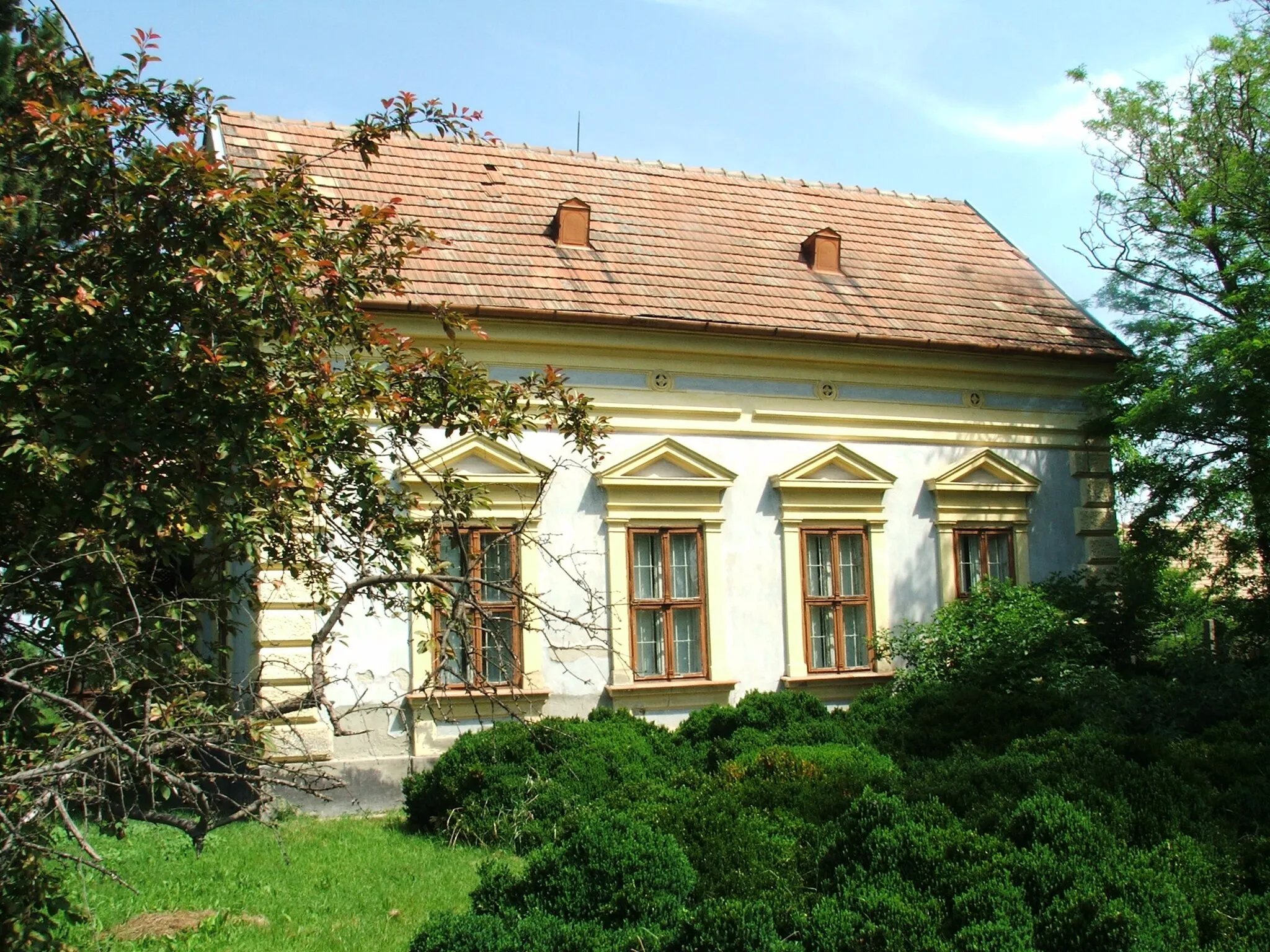
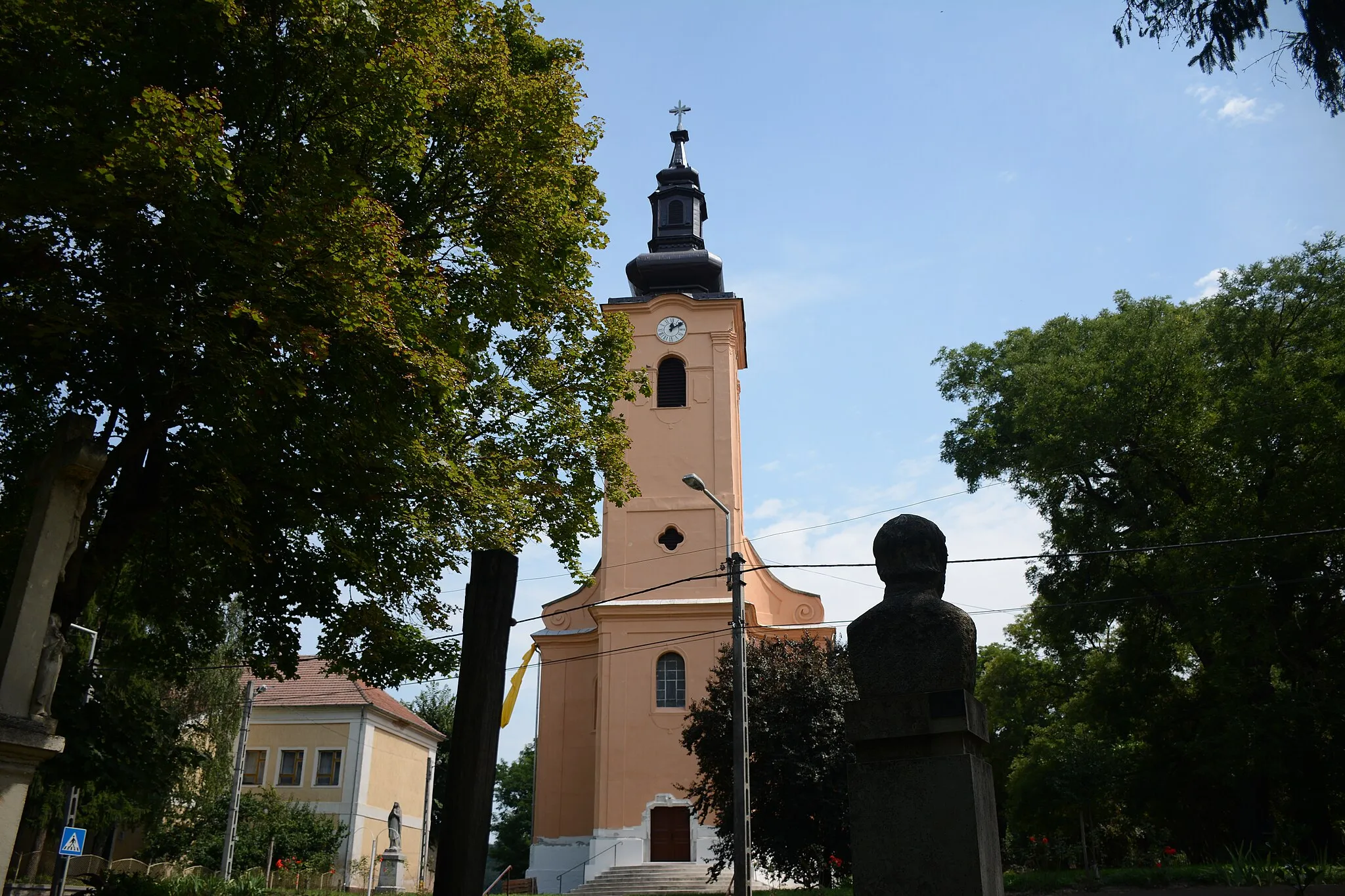
Start: Simontornya City centerSimontornya: Diverse cycling options in a scenic natural setting.
Simontornya is a locality located in Dél-Dunántúl region of Hungary. For road and gravel cyclists, Simontornya offers a mix of flat and hilly terrain, providing various cycling challenges. The roads are generally in good condition, allowing cyclists to enjoy their ride. While Simontornya doesn't have any famous cycling-related spots or well-known climbs, it is surrounded by beautiful nature reserves and lakes, offering scenic cycling routes. The town itself has a historic castle that can be visited. Overall, Simontornya is a cyclist-friendly locality with diverse cycling options for all levels.12 km
12 km
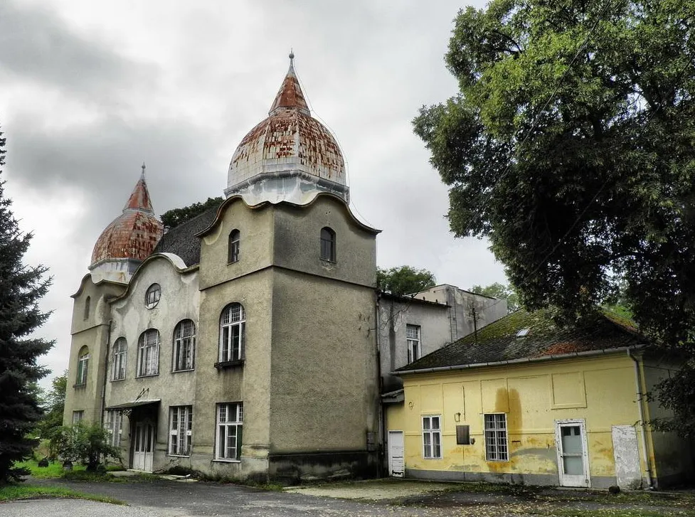
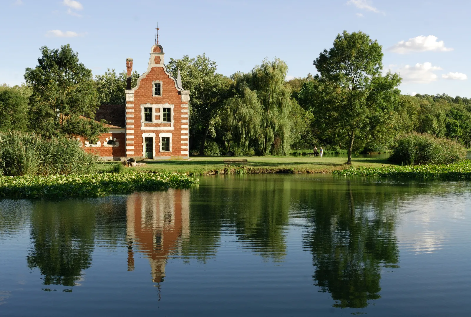
VajtaVillageVajta is a charming village known for its picturesque landscapes and traditional architecture. Take a break and enjoy the peaceful atmosphere.
61 km
61 km
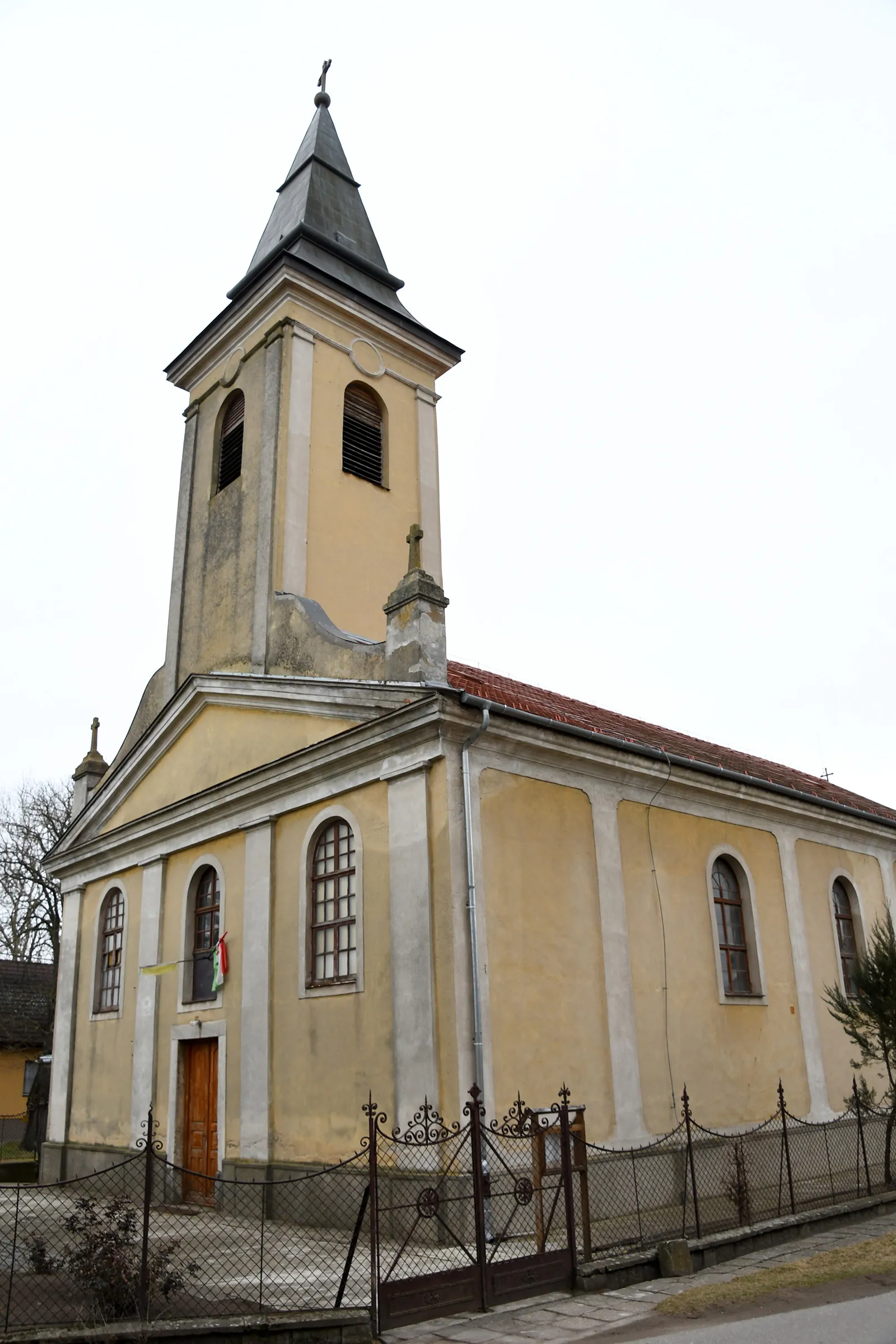
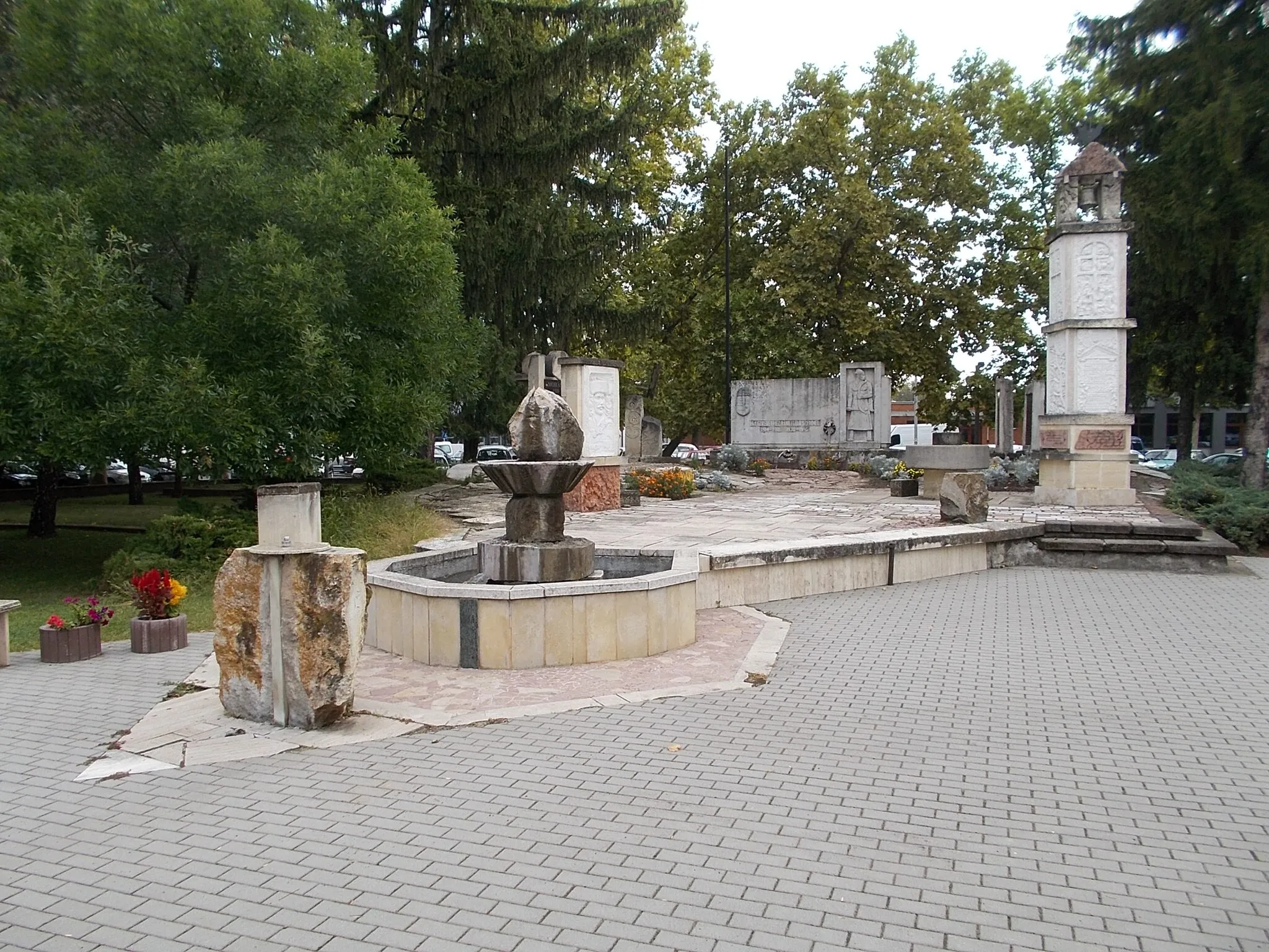
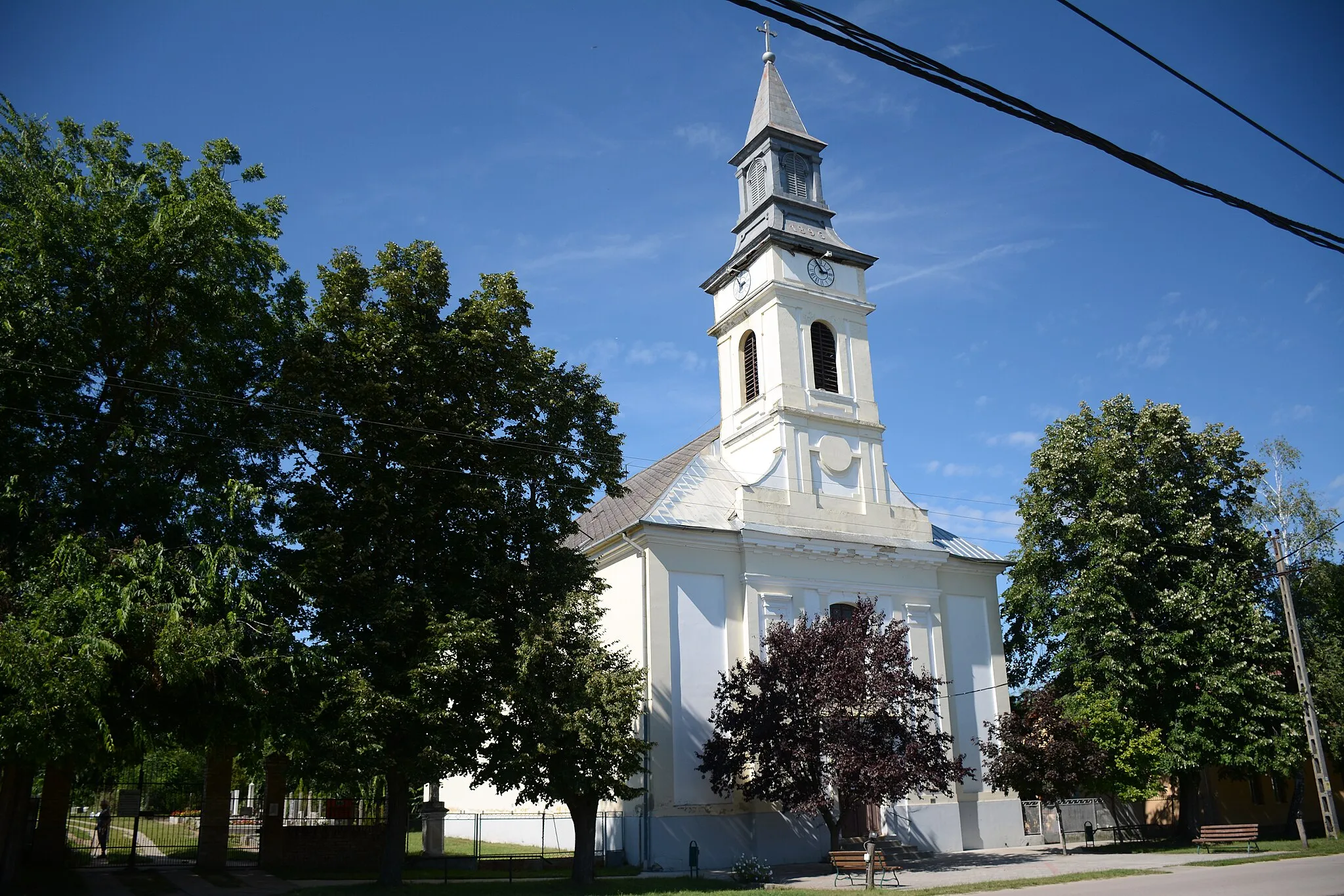
SárszentlőrincVillageSárszentlőrinc is a small town with a rich history and beautiful surroundings. Explore its historical sites and enjoy the scenic views.
75 km
75 km
Derék-hegy159 mPeakDerék-hegy is a scenic hill with stunning panoramic views. Climb to the top and take in the breathtaking scenery.
77 km
77 km
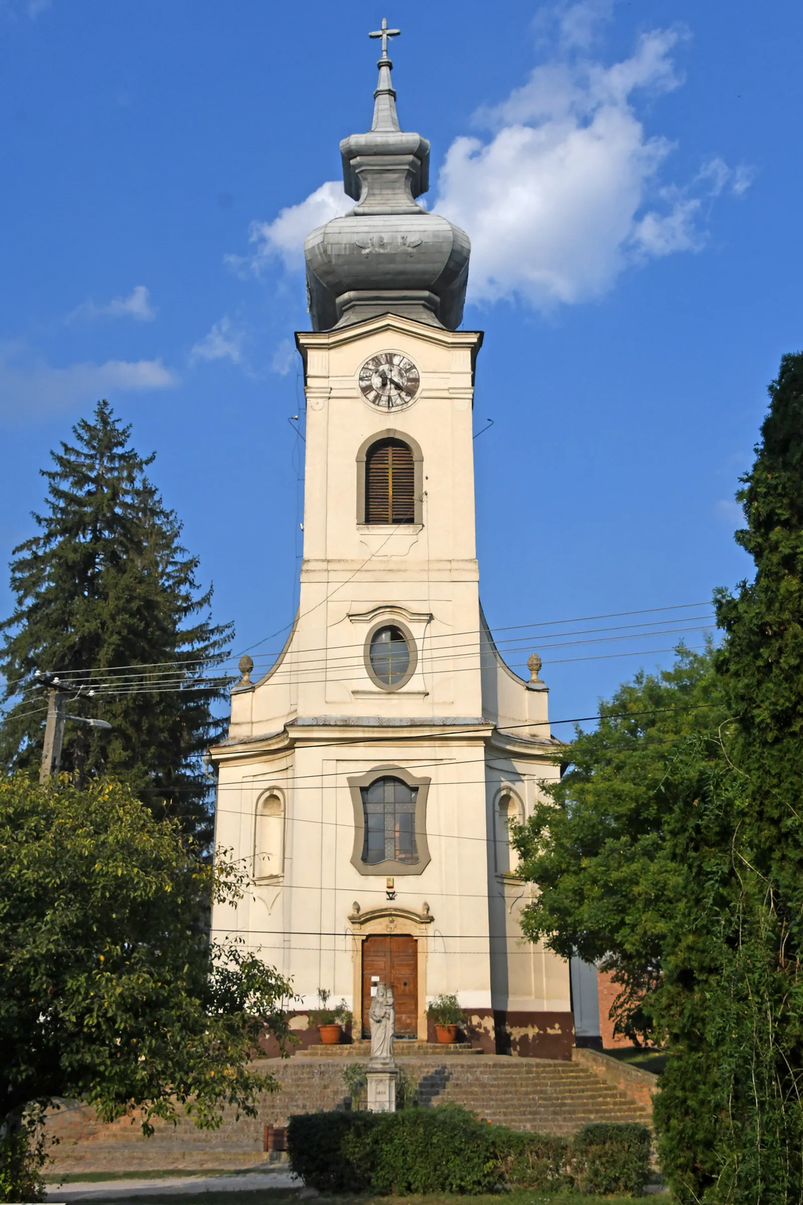
SimontornyaTownSimontornya is a historic town with a magnificent castle. Visit the castle and learn about its fascinating past.
77 km
77 km
Finish: Simontornya City centerSimontornya: Diverse cycling options in a scenic natural setting.
Cycling routes from Simontornya:
Scenic Road Cycling Tour to Cece, Gyapa, Paks, Sárszentlőrinc, Derék-hegy, and Simontornya Discover Simontornya and its Surroundings on a Gravel Adventure Janike Táblás gravel route Pusztahencse and Sárszentlőrinc Gravel Adventure Gravel Adventure through Vajta, Sárszentlőrinc, Derék-hegy, and Simontornya Gravel Loop to Ozora, Pincehely, and Fried Castle Resort Round Trip to Mezőszilas, Mátyásdomb, Káloz, and Sáregres Cultural Heritage Road Cycling Tour Sárszentmiklós Road Loop Sáregres Road Adventure Simontornya-Sárhatvan-Sárbogárd-Sáregres Round Trip
Cycling routes nearby: