The Kéked Challenge
A road cycling route starting from Gonc
Embark on a thrilling cycling adventure in the Kéked region.
Map

Prepare yourself for an exhilarating journey through the stunning Kéked region. With a distance of 81 kilometers and an ascent of 984 meters, this road cycling route promises excitement at every turn. Discover hidden gems such as the village of Kéked, known for its traditional architecture, and Pálháza, a scenic spot surrounded by beautiful nature. The route also takes you through historical sites like Telkibánya, where you can explore the remnants of mining history.
road
81 km
984 m
Tough
Route profile
Highlights on the route
0 km
0 km
Start: Gönc City centerGönc: Hidden Cycling Paradise in Gönc
Gönc, situated in Észak-Magyarország, Hungary, is a hidden gem for road and gravel cyclists. The town itself is surrounded by rolling countryside, providing ample opportunities for exploring scenic routes. Some popular cycling spots nearby include the Hauck Center Eger Bicycle Park, which offers various cycling trails ranging from beginner to more advanced options. Gönc is also within close proximity to Bükk National Park, known for its breathtaking landscapes and challenging cycling paths. The cyclist-friendly infrastructure in the area ensures a smooth and safe cycling experience, making Gönc a fantastic destination for cyclists of all skill levels.12 km
12 km
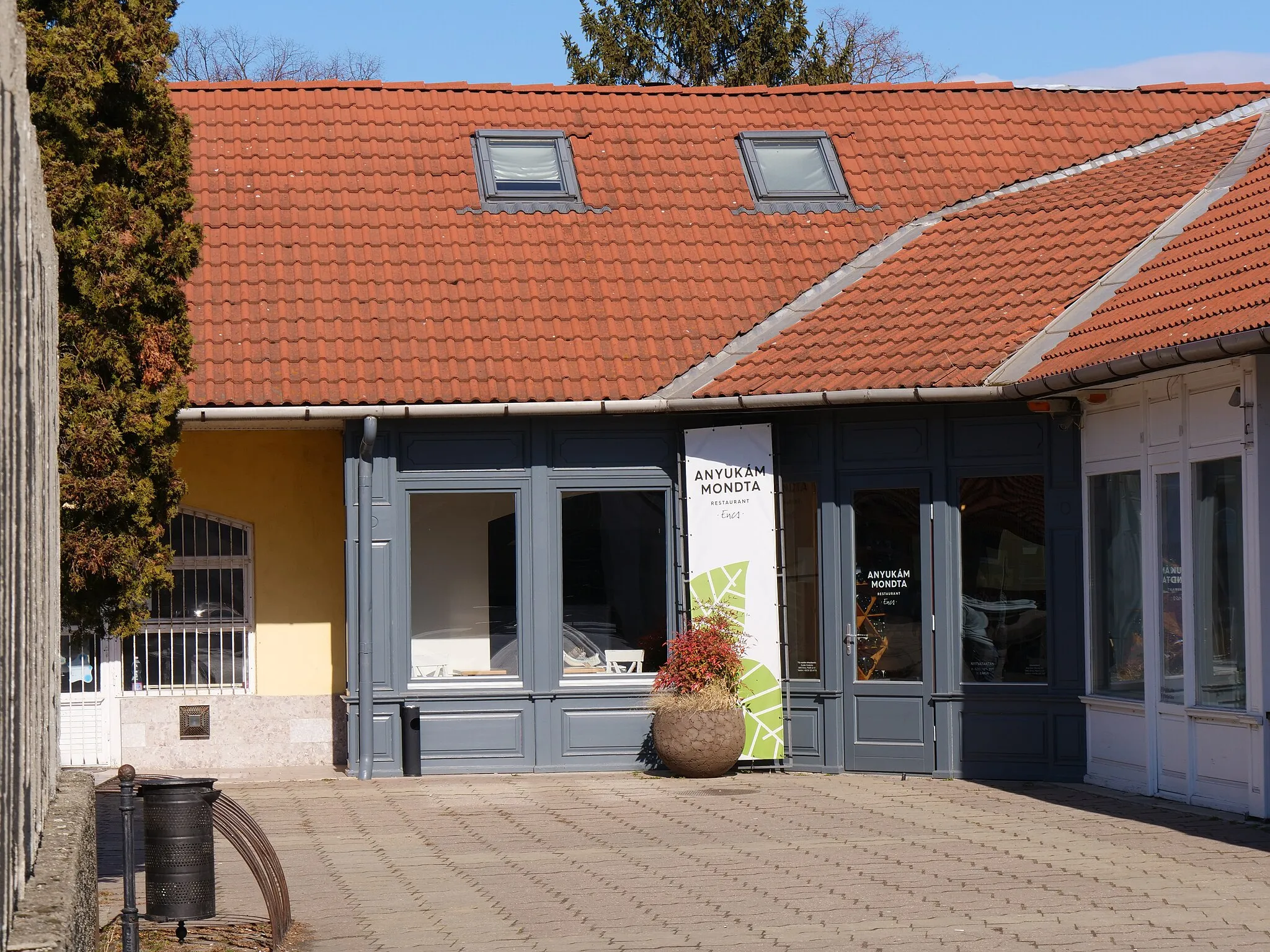
KékedVillageKéked is a picturesque village with traditional houses and a peaceful atmosphere, offering a glimpse into local life.
17 km
17 km
Rabócsik438 mPeakRabócsik is steeped in history, with ancient ruins and well-preserved medieval buildings.
30 km
30 km
Mejeszke481 mPeakMejeszke, surrounded by lush greenery, offers a tranquil spot for relaxation and contemplation.
37 km
37 km
BrezinaVillageBrezina is an idyllic countryside hamlet, perfect for immersing yourself in the beauty of nature.
57 km
57 km
PálházaTownPálháza is a gateway to nature, with hiking trails and spectacular views from its highest peak.
61 km
61 km
Nyereg234 mMountain PassNyereg offers a pleasant break with its scenic views and serene atmosphere, perfect for recharging.
71 km
71 km
TelkibányaVillageTelkibánya, once a thriving mining town, now showcases remnants of its industrial past.
72 km
72 km
Ökör-hegy379 mPeakÖkör-hegy, with its panoramic vista, rewards cyclists with breathtaking views over the surrounding landscapes.
81 km
81 km
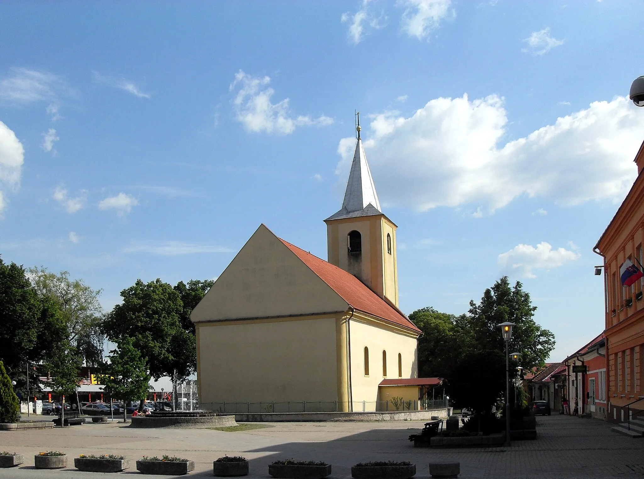
GöncTownGönc, the starting point of this route, is a picturesque town with a rich historical heritage and vibrant cultural scene.
81 km
81 km
Finish: Gönc City centerGönc: Hidden Cycling Paradise in Gönc
Cycling routes nearby: