The Hernádvécse Loop
A road cycling route starting from Gonc
A scenic route through the charming Hernádvécse region.
Map

Experience the beauty of the Hernádvécse region on this picturesque cycling route. With a total distance of 82 kilometers and an ascent of 632 meters, this road cycling route offers a moderate challenge suitable for well-trained amateurs. Explore the historic highlights of the area, including the ruins of Litka Castle and the village of Tornyosnémeti.
road
82 km
632 m
Tough
Route profile
Highlights on the route
0 km
0 km
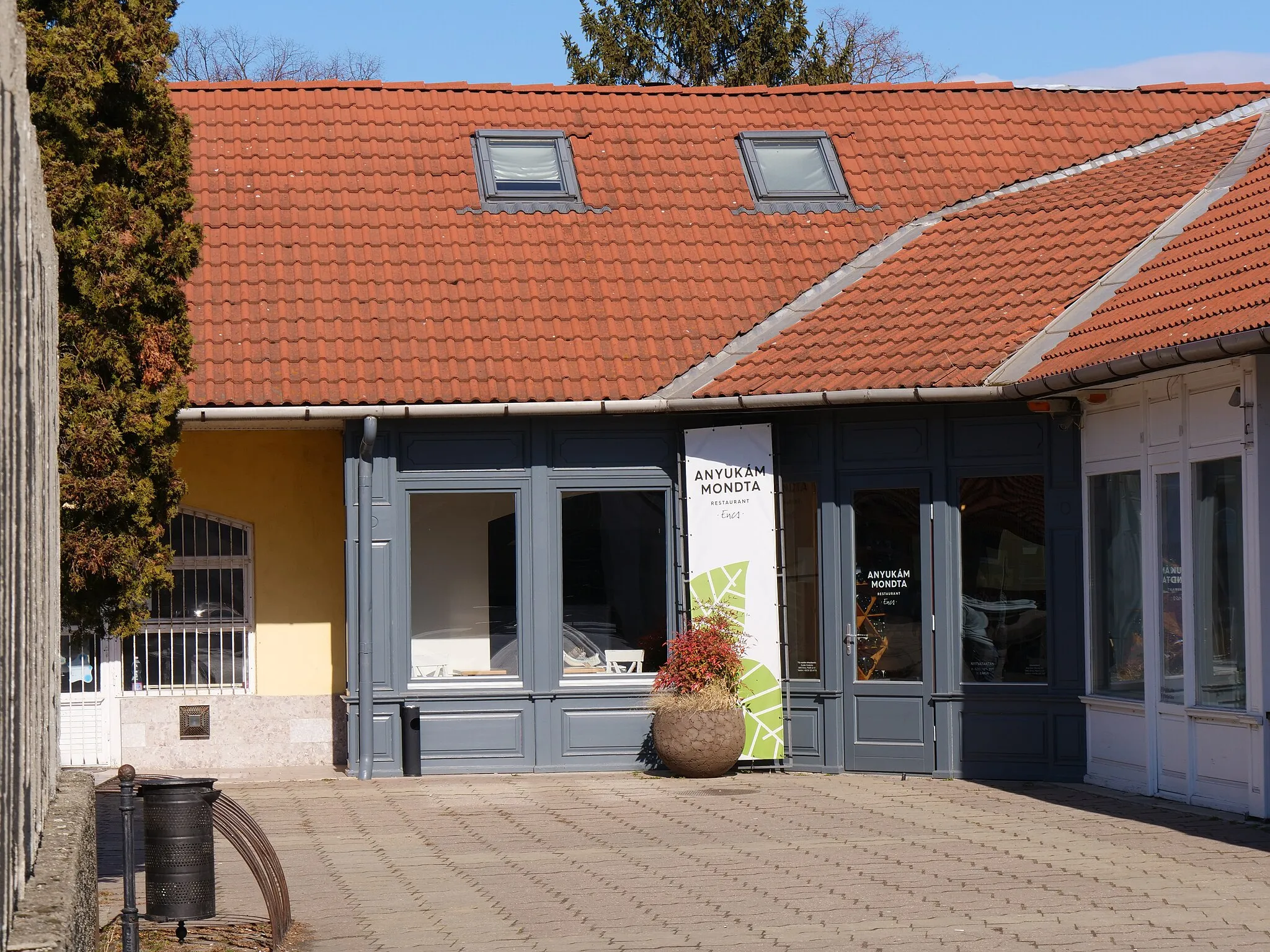
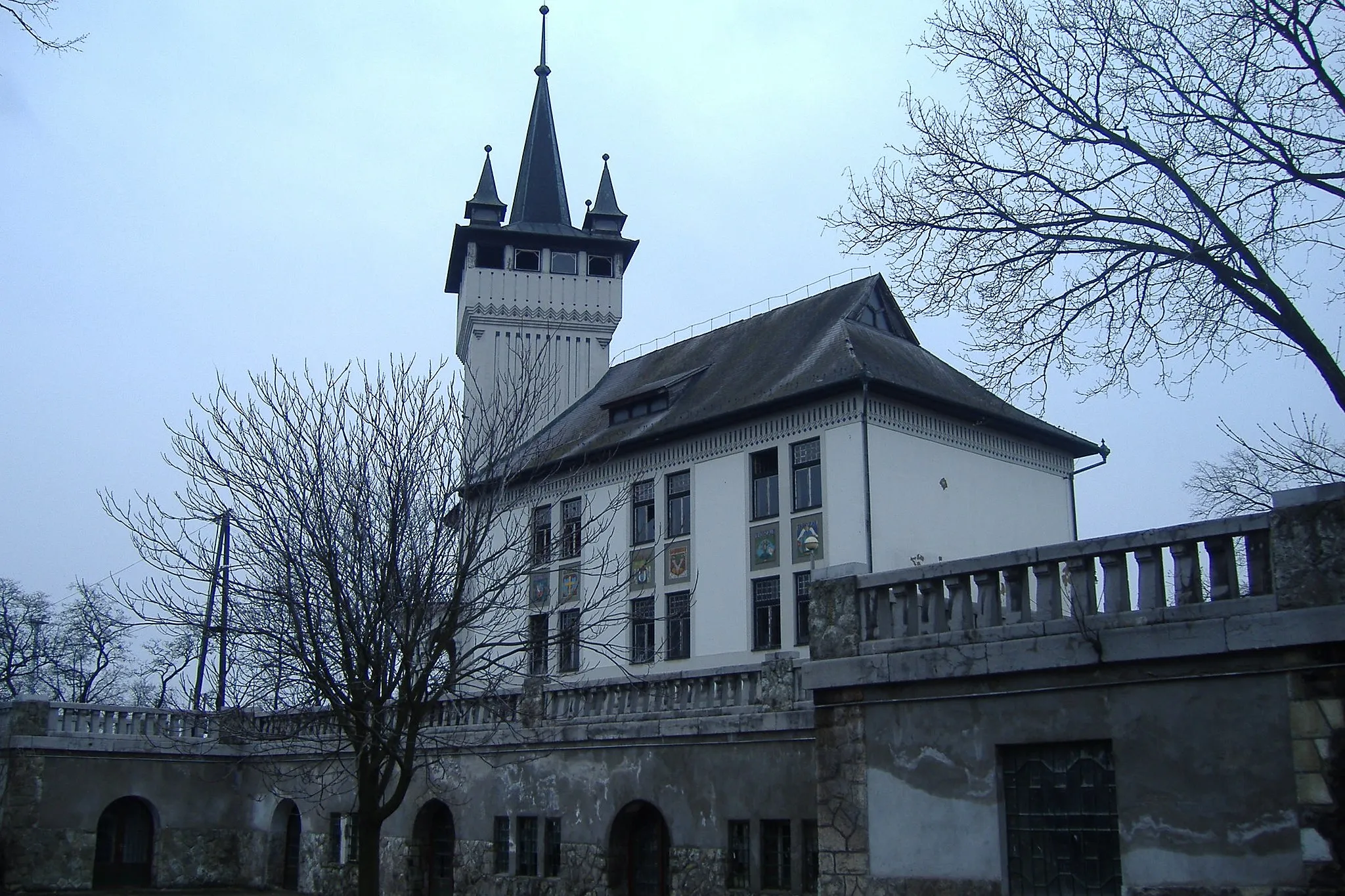
Start: Gönc City centerGönc: Hidden Cycling Paradise in Gönc
Gönc, situated in Észak-Magyarország, Hungary, is a hidden gem for road and gravel cyclists. The town itself is surrounded by rolling countryside, providing ample opportunities for exploring scenic routes. Some popular cycling spots nearby include the Hauck Center Eger Bicycle Park, which offers various cycling trails ranging from beginner to more advanced options. Gönc is also within close proximity to Bükk National Park, known for its breathtaking landscapes and challenging cycling paths. The cyclist-friendly infrastructure in the area ensures a smooth and safe cycling experience, making Gönc a fantastic destination for cyclists of all skill levels.13 km
13 km
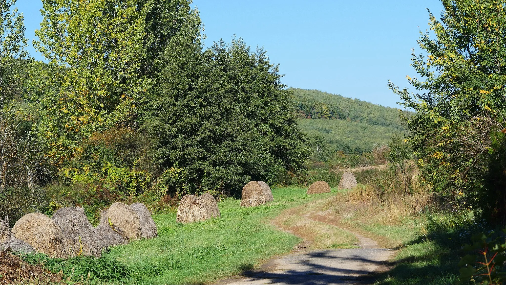
HernádvécseVillageHernádvécse is a historic village known for its beautiful architecture and vibrant local culture.
32 km
32 km
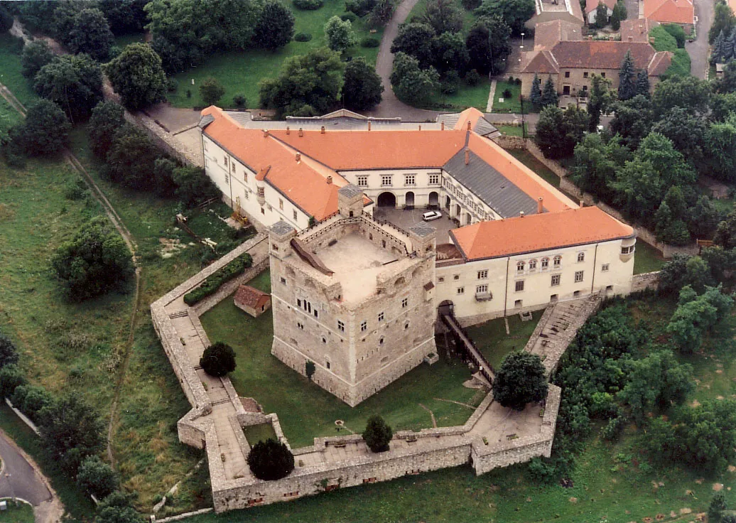
LitkaVillageLitka Castle, perched high on a hill, provides breathtaking views of the surrounding countryside.
44 km
44 km
SzemereVillageSzemere is a charming village with traditional folk art and craft workshops.
48 km
48 km
Tri chotáre / Hármashatár322 mPeakTri chotáre / Hármashatár marks the meeting point of three borders – Hungary, Slovakia, and Ukraine.
59 km
59 km
Čistina297 mPeakČistina is a picturesque village nestled in the hills, offering a chance to experience local traditions and customs.
72 km
72 km
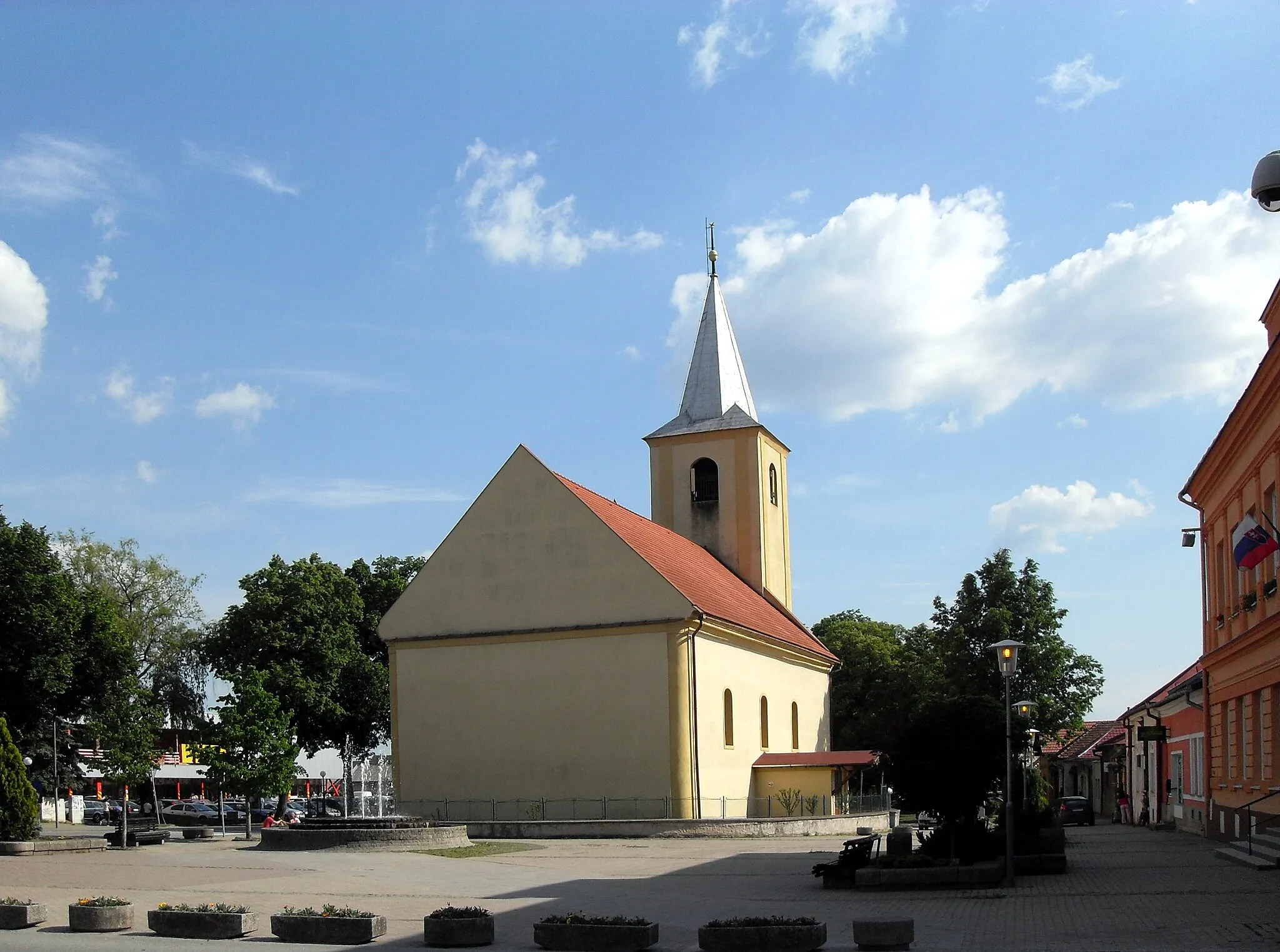
TornyosnémetiVillageTornyosnémeti is a historic village with well-preserved buildings from different periods in history.
82 km
82 km
Finish: Gönc City centerGönc: Hidden Cycling Paradise in Gönc
Cycling routes nearby: