Kanász-hegy and Kálvária domb Road Route
A road cycling route starting from Pusztavam
Experience the scenic beauty of Kanász-hegy and Kálvária domb
Map
This road route takes you through the picturesque landscapes of Kanász-hegy and Kálvária domb, offering breathtaking views and cultural landmarks along the way.
road
71 km
354 m
Chill
Route profile
Highlights on the route
0 km
0 km
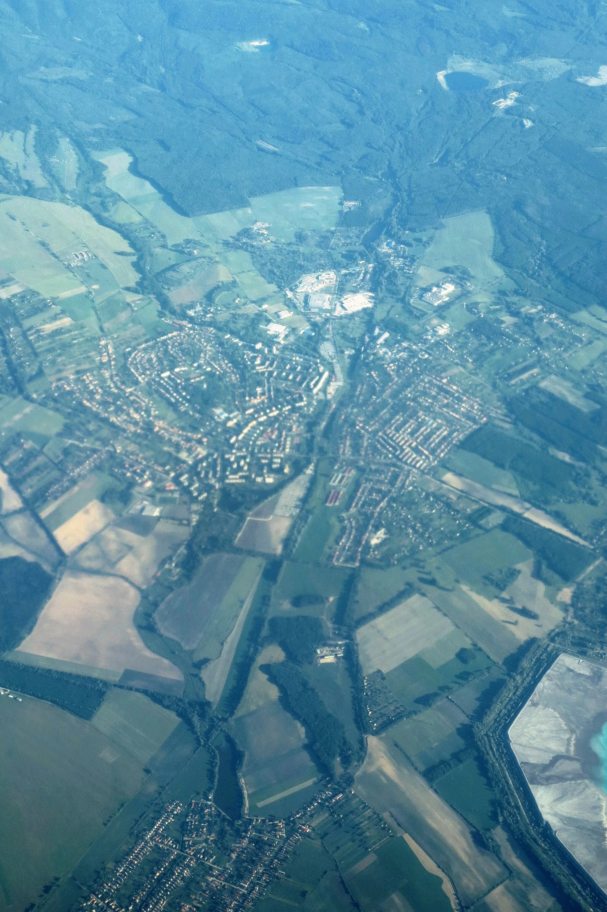
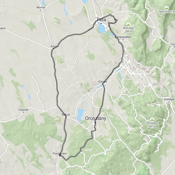
Start: Pusztavám Village centerPusztavám: Discover hidden treasures in Közép-Dunántúl, Hungary
Pusztavám in Közép-Dunántúl, Hungary, is a hidden gem for road and gravel cyclists. With its beautiful countryside and diverse terrain, the region offers plenty of scenic routes for exploration. Cyclists can enjoy peaceful rides through rolling hills and picturesque vineyards, taking in the stunning Hungarian landscapes along the way. Pusztavám is also located near the renowned Balaton cycling route, providing access to one of Hungary's most popular cycling destinations. With its natural beauty and cycling-friendly infrastructure, Pusztavám is a perfect location for cyclists looking to discover Hungary's hidden treasures.0 km
0 km
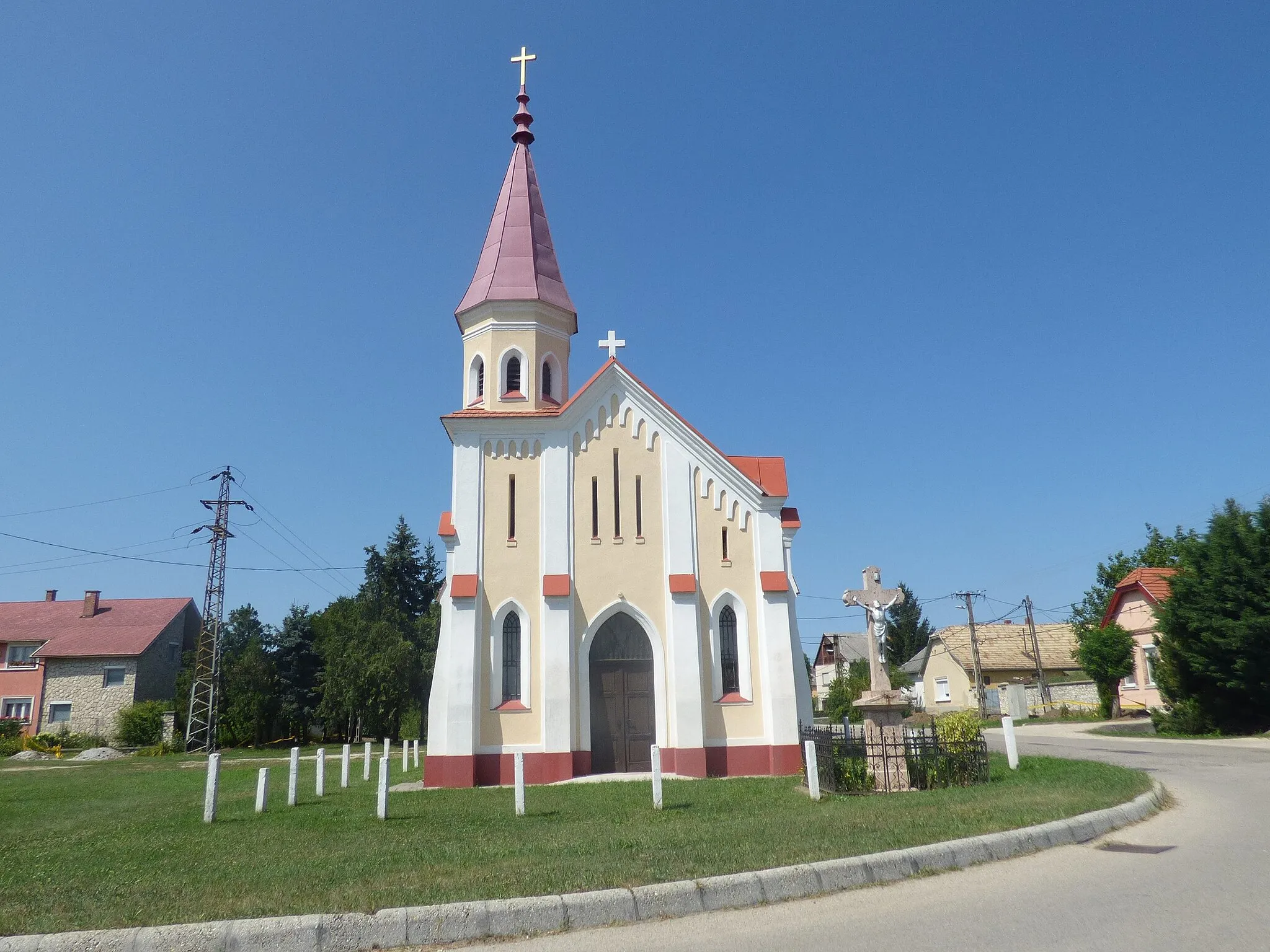
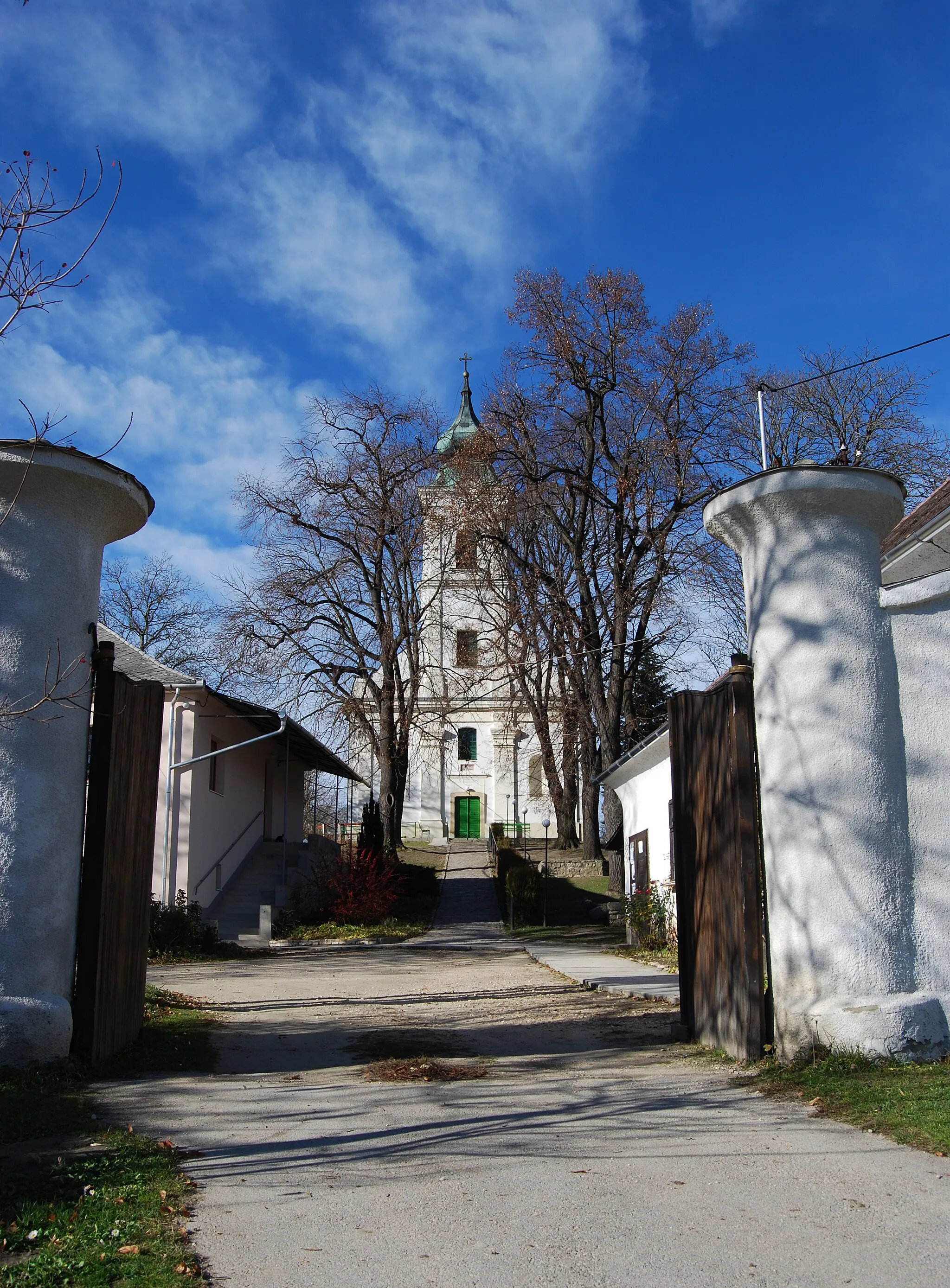
PusztavámVillagePusztavám is the starting point of this route, with its tranquil surroundings and charming village atmosphere.
10 km
10 km
Kanász-hegy235 mPeakKanász-hegy is a beautiful hill offering panoramic views of the surrounding countryside, perfect for a scenic photo stop.
21 km
21 km
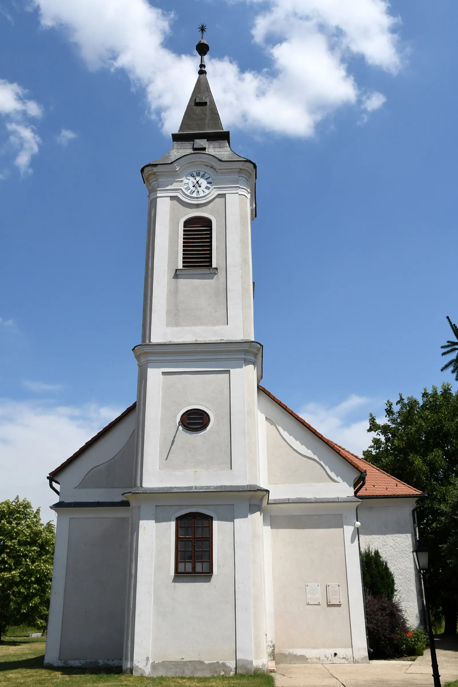
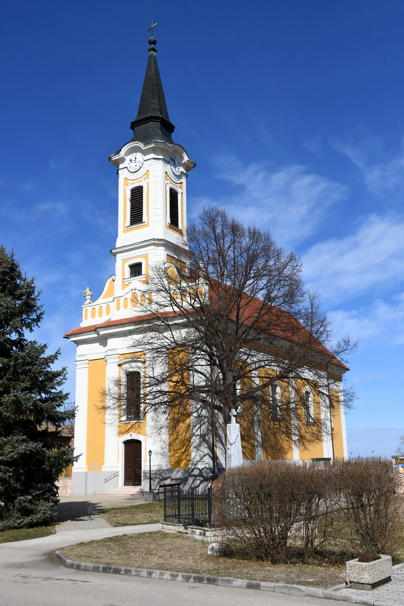
KocsVillageKocs is a small village with a rich cultural heritage, featuring a 17th-century church and historic mansions.
29 km
29 km
Kálvária domb166 mPeakKálvária domb is a hill with a Calvary monument, offering stunning views over the town and surrounding countryside.
39 km
39 km
Sánc-hegy160 mPeakSánc-hegy is a prominent landmark with historical significance, marking the location of former military fortifications.
51 km
51 km
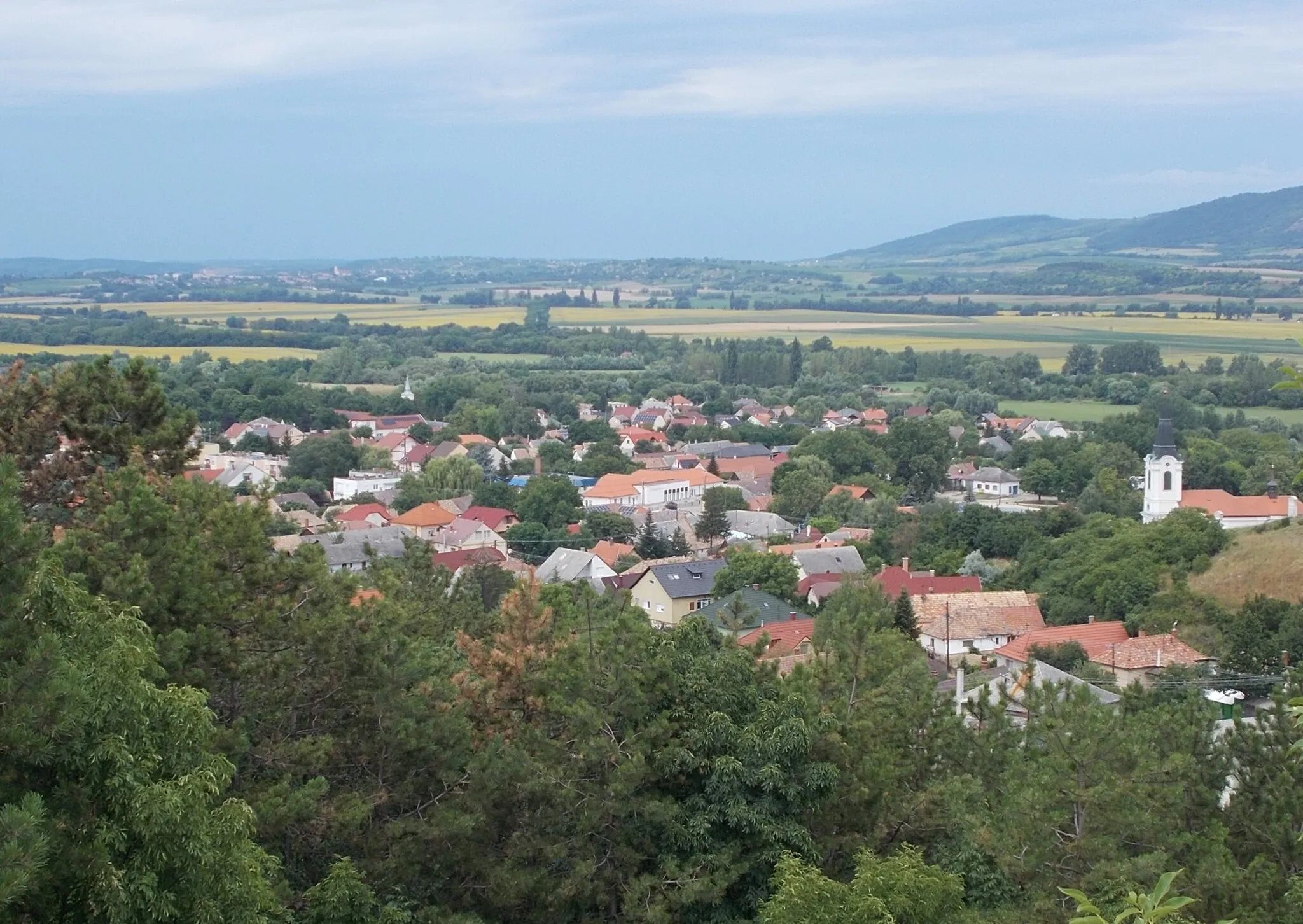
KörnyeVillageKörnye is a charming town with a historic town center and beautiful architecture.
58 km
58 km
OroszlányTownOroszlány is a small town with a rich industrial history, including the ruins of an ironworks and a mining museum.
65 km
65 km
Vértesszentkereszti bencés kolostorromCastle RuinsVértesszentkereszti bencés kolostorrom is the ruins of a Benedictine monastery dating back to the 14th century, offering a glimpse into the region's medieval past.
71 km
71 km
Finish: Pusztavám Village centerPusztavám: Discover hidden treasures in Közép-Dunántúl, Hungary
Cycling routes from Pusztavam:
Aka and Ácsteszér Gravel Route Pusztavám Gravel Cycling Route Gerencsérvár and Vértesboglár Gravel Route Vértesszentkereszti bencés kolostorrom and Csákvár Gravel Route Kanász-hegy and Kálvária domb Road Route Pusztavám Road Cycling Route Oroszlánkő and Fehérvárcsurgó Road Route Pusztavám Road Cycling Route Pusztavám Gravel Cycling Route Pusztavám Road Cycling Route
Cycling routes nearby: