Historic Gravel Route from Szárliget to Ágacska-hegy
A gravel cycling route starting from Szarliget
Embark on a journey through history on this gravel route from Szárliget to Ágacska-hegy
Map
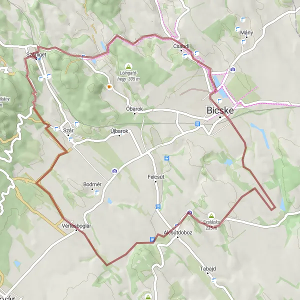
Step back in time and explore the rich history of the Central Transdanubian region on this historic gravel route. With a total ascent of 433 meters over a distance of 53 kilometers, this route provides a moderate challenge for cyclists. Highlights along the way include the Dobogó hill, the stunning views from Réz-hegy, and the famous Alcsútdobozi platánfa-sor.
gravel
53 km
433 m
Chill
Route profile
Highlights on the route
0 km
0 km
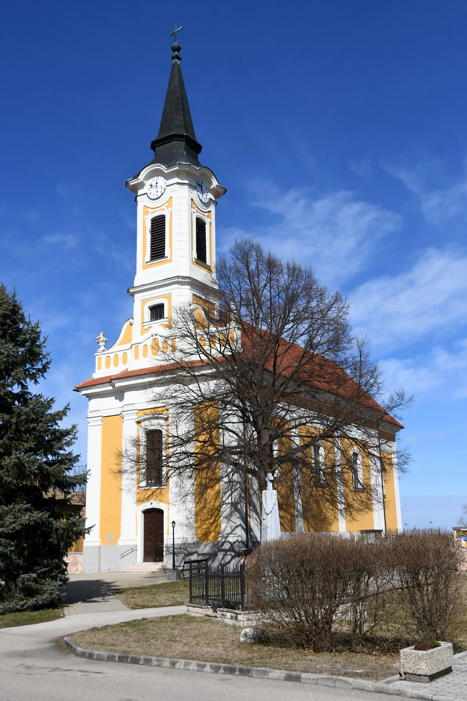
Start: Szárliget Village centerSzárliget: Tranquil cycling locality in Közép-Dunántúl, Hungary, ideal for leisurely rides.
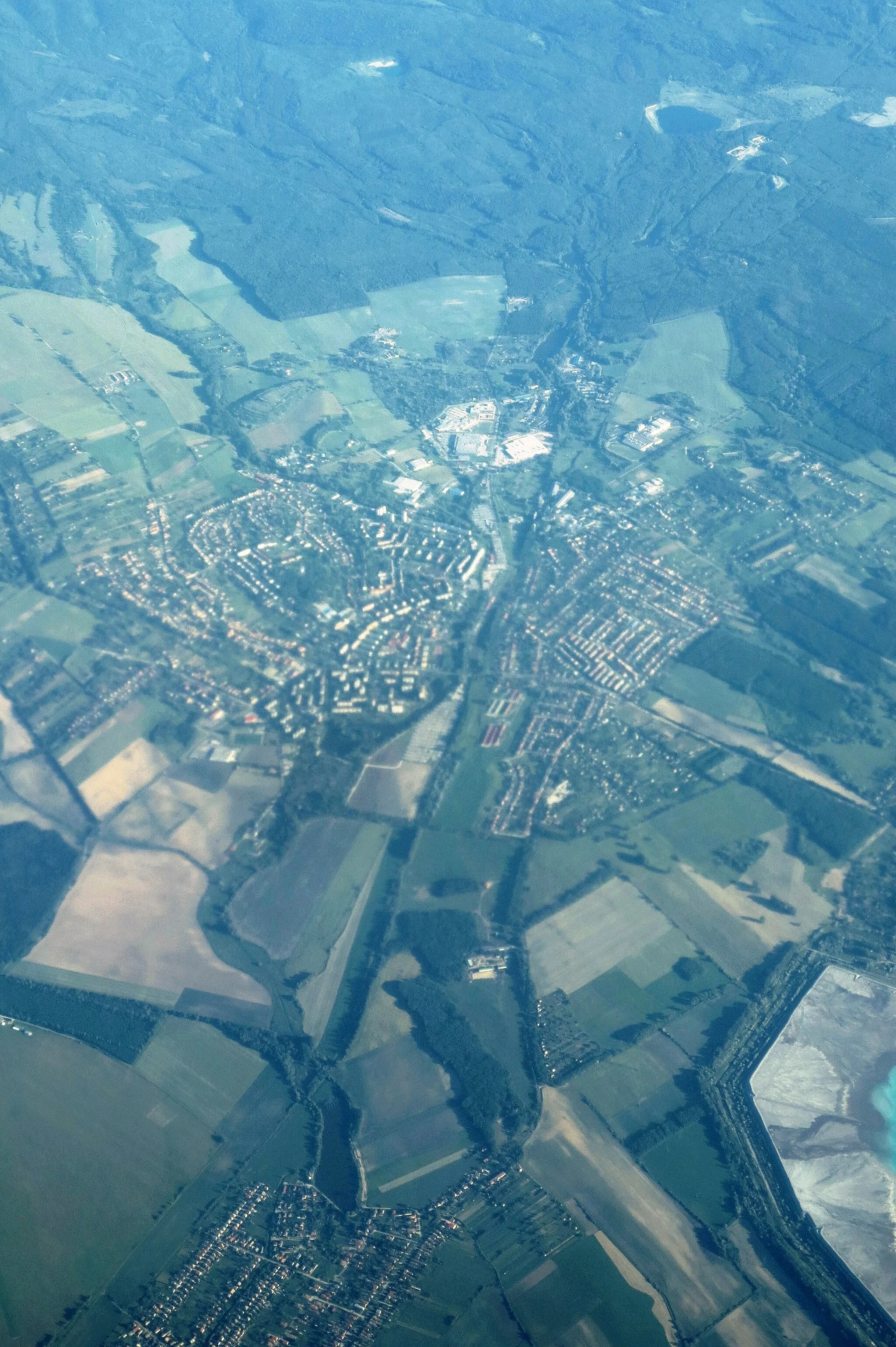
Szárliget, located in Közép-Dunántúl, Hungary, offers a range of cycling opportunities for both road and gravel cyclists. The region boasts tranquil countryside roads, perfect for leisurely rides and exploring the surrounding landscapes. Although there may not be any famous cycling spots or well-known climbs in the immediate area, Szárliget is a peaceful destination for cyclists looking to escape the bustling city life.0 km
0 km
SzárligetVillage12 km
12 km
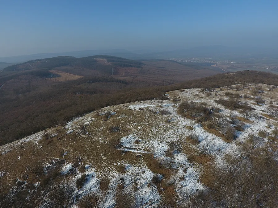
Dobogó250 mPeakClimb Dobogó hill and enjoy panoramic views of the surrounding landscape.
30 km
30 km
Réz-hegy215 mPeakTake in the breathtaking views from Réz-hegy, a popular spot for nature lovers and cyclists.
30 km
30 km
Alcsútdobozi platánfa-sorAttractionAdmire the famous Alcsútdobozi platánfa-sor, a beautiful avenue of old plane trees.
39 km
39 km
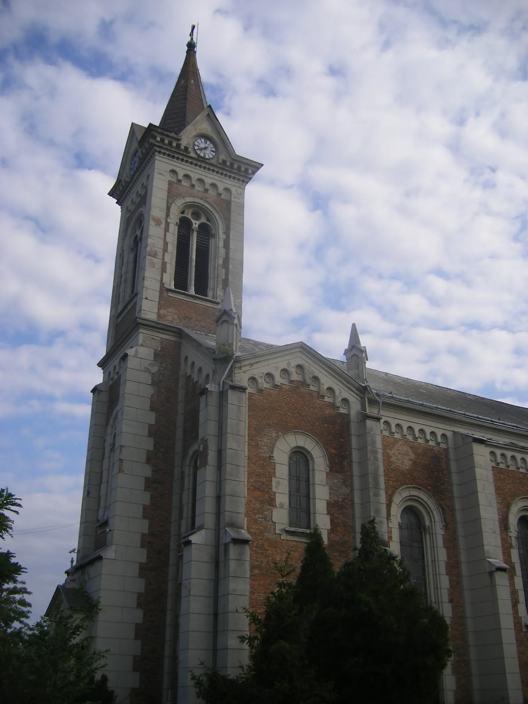
VértesboglárVillageExplore the town of Vértesboglár and learn about its historical significance.
48 km
48 km
Ágacska-hegy248 mPeakHike up Ágacska-hegy and marvel at the stunning views of the surrounding countryside.
53 km
53 km
Finish: Szárliget Village centerSzárliget: Tranquil cycling locality in Közép-Dunántúl, Hungary, ideal for leisurely rides.
Cycling routes from Szarliget:
Scenic Gravel Route from Szárliget to Vitányvár Challenging Gravel Route from Szárliget to Körtvélyesi-kilátó Szárliget - Bitang - Szomor - Kakukk-hegy Loop Szárliget - Szár - Esterházy-kastély és történeti kertje Loop Road Adventure through Vértes Szárliget - Dobogó - Kerek-domb - Etyek Loop Szárliget - Terrace - Baj - Szél-hegy Loop Historic Gravel Route from Szárliget to Ágacska-hegy Szárliget - Bánhida - Sánc-hegy - Tardos Loop Szárliget to Kőhányáspuszta Gravel Route
Cycling routes nearby: