Eastern Zala county exploration
A gravel cycling route starting from Gencsapati
Exploring the hidden gems of eastern Zala county
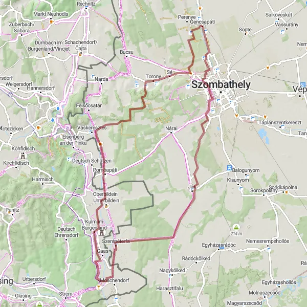
Map
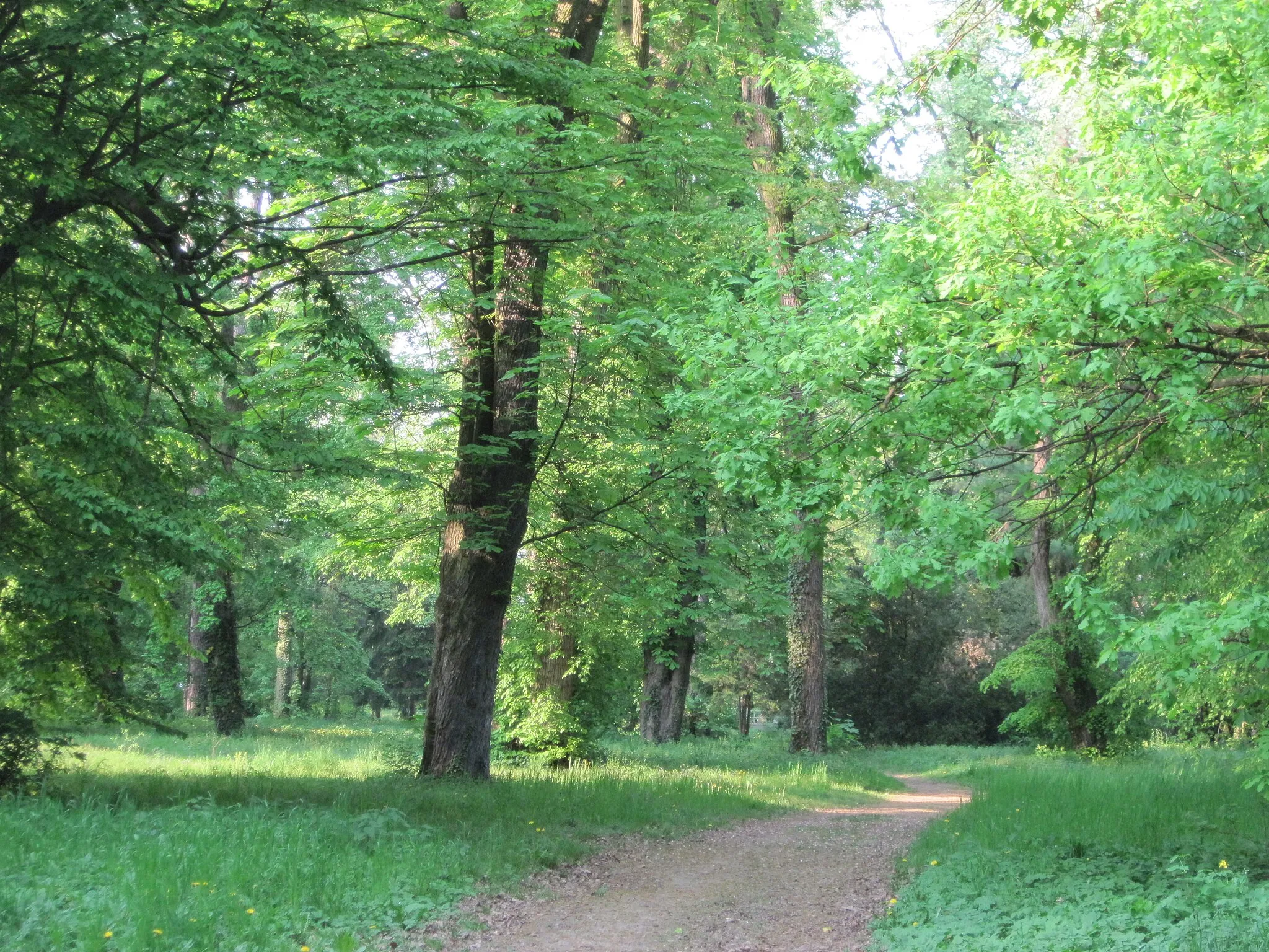
This route takes you through the scenic parts of eastern Zala county, showcasing the area's natural beauty and cultural heritage. The gravel roads offer a unique biking experience, taking you through picturesque villages and untouched nature. With a moderate level of difficulty, this route is suitable for well-trained amateurs. The epicness factor is high, as you'll get to visit some iconic landmarks and historical sites along the way.
gravel
73 km
283 m
Tough
Route profile
Highlights on the route
0 km
0 km
Start: Gencsapáti Village centerGencsapáti: Road cycling in the charming countryside of Gencsapáti, Hungary.
Gencsapáti, located in Nyugat-Dunántúl, Hungary, is a suitable destination for road cyclists seeking scenic routes. The locality offers well-paved roads that pass through charming Hungarian villages and rolling hills filled with vineyards. While there may not be any notable cycling spots or famous climbs in the immediate vicinity of Gencsapáti, it serves as an excellent base for exploring further cycling routes in the region. Cyclists can also enjoy the local cuisine and wine culture after a rewarding ride. Overall, Gencsapáti provides a decent cycling experience for those seeking picturesque scenery and Hungarian hospitality.5 km
5 km
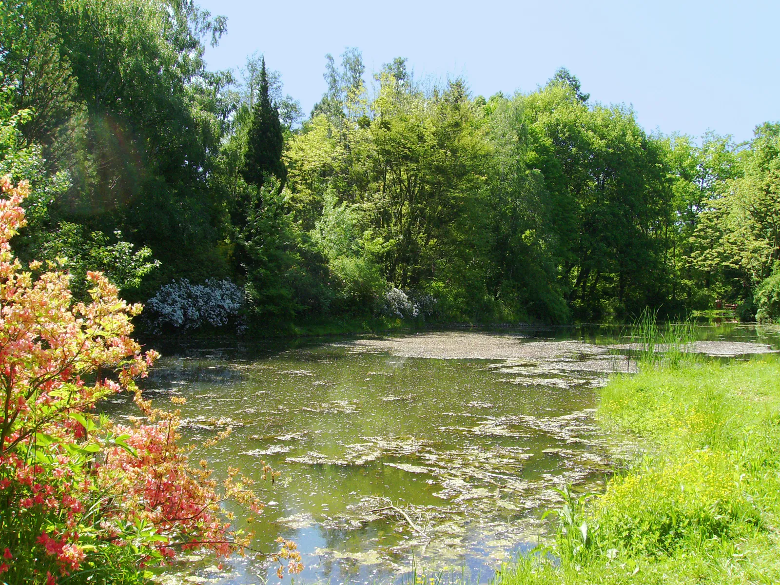
KámonSub-urbKámon is a quaint village known for its traditional houses and beautiful countryside. Take a break here and enjoy the peaceful atmosphere.
9 km
9 km
Alsó-hegy211 mPeakAlsó-hegy is a hill offering panoramic views of the surrounding landscape. Stop here to admire the stunning scenery.
31 km
31 km
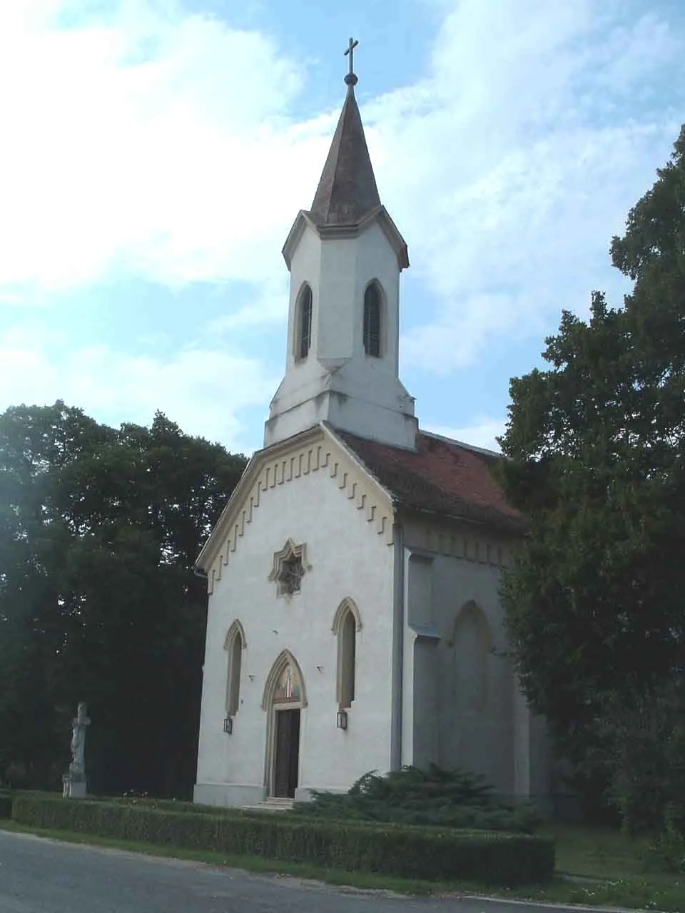
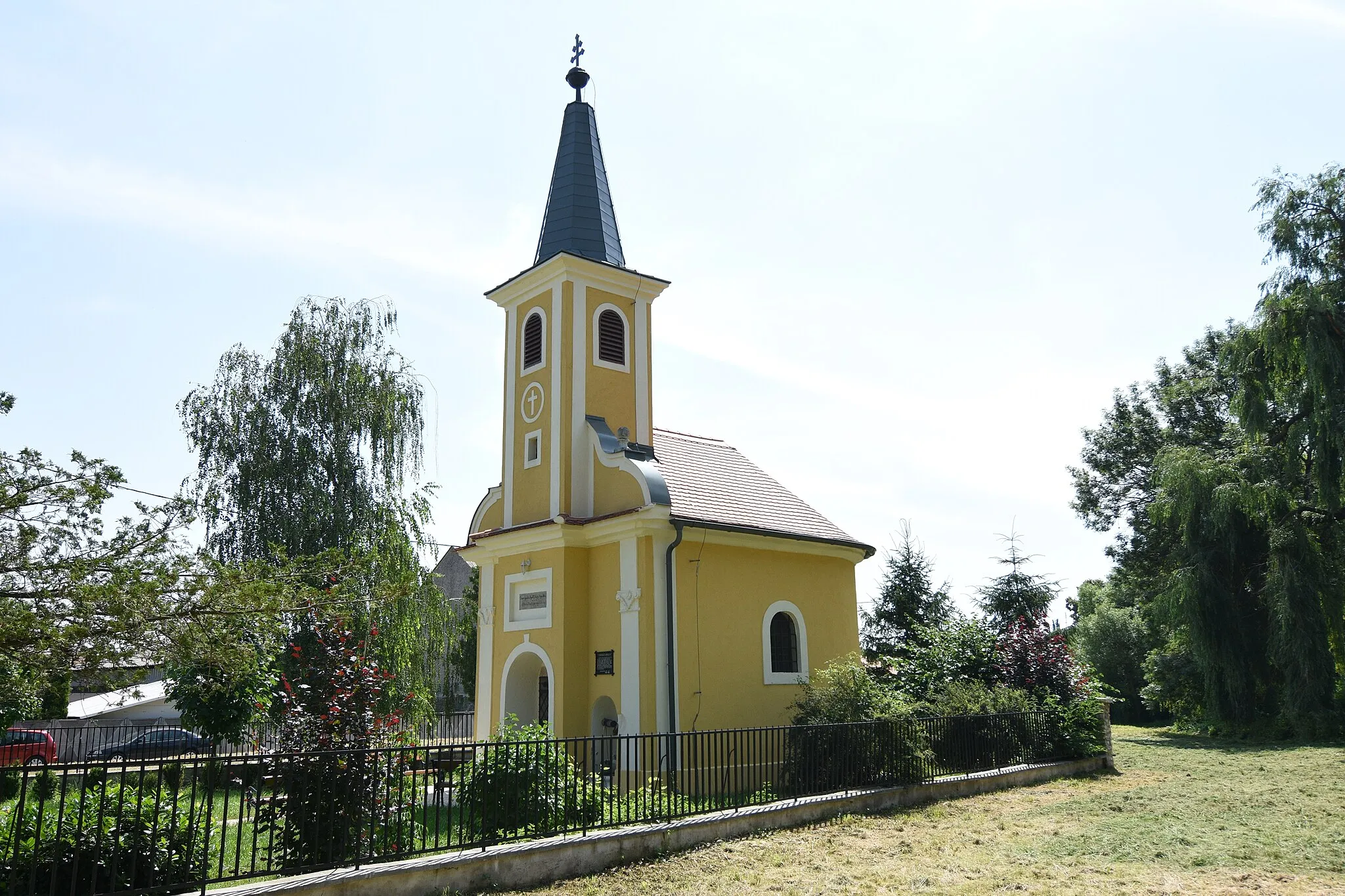
SzentpéterfaVillageSzentpéterfa is a charming village with a rich history. Explore the historic buildings and learn about the local traditions.
46 km
46 km
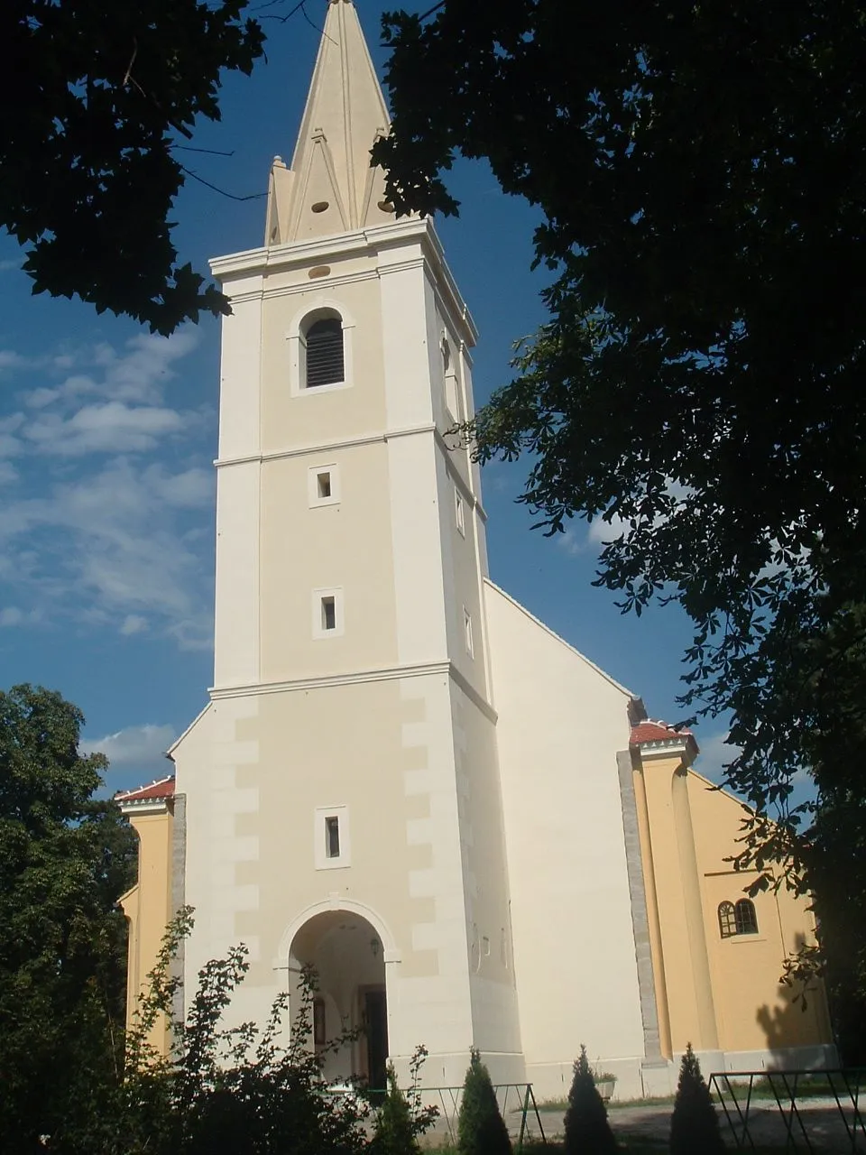
OberbildeinVillageOberbildein is a picturesque town known for its well-preserved architecture. Take a stroll through the streets and soak in the medieval atmosphere.
63 km
63 km
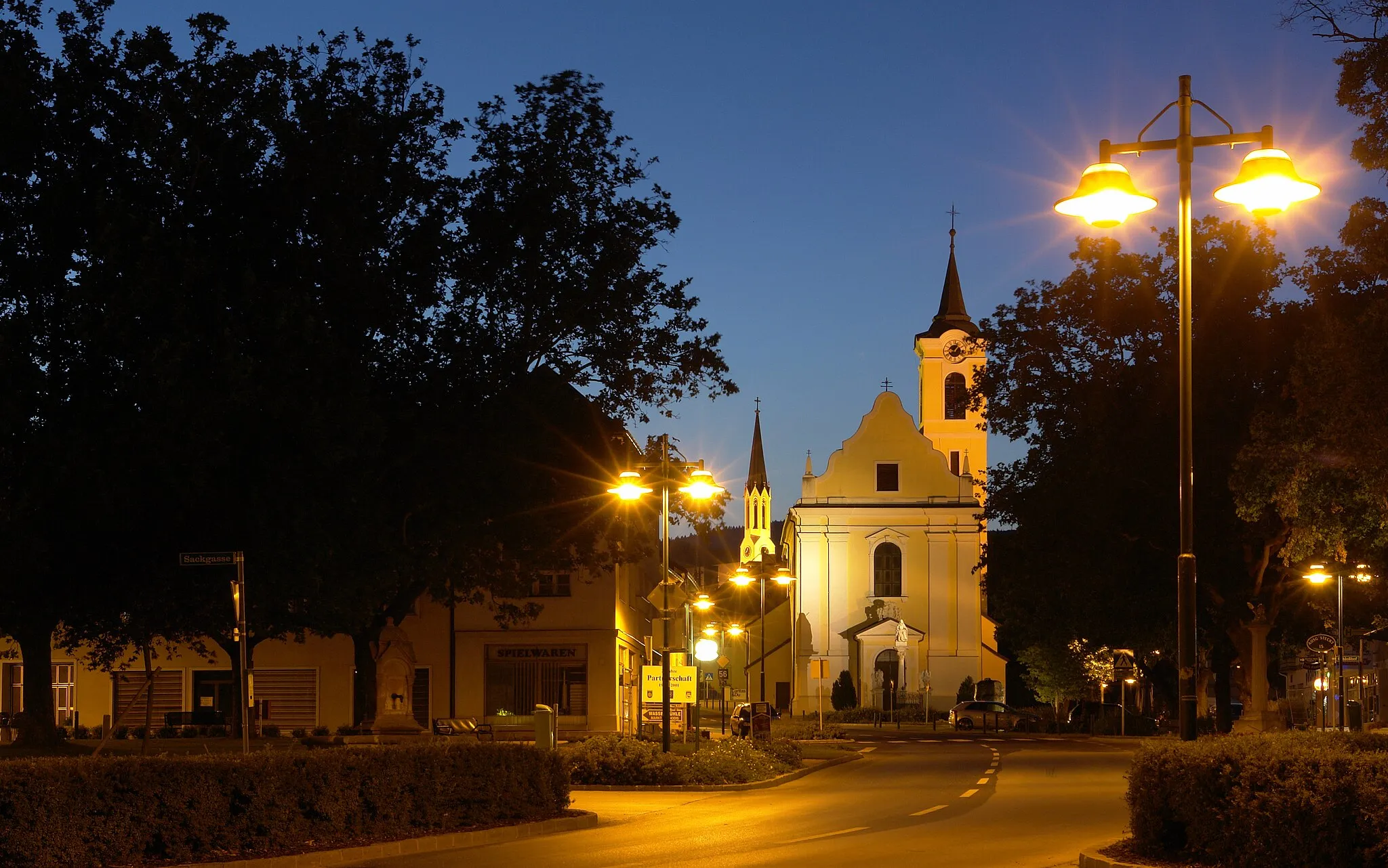
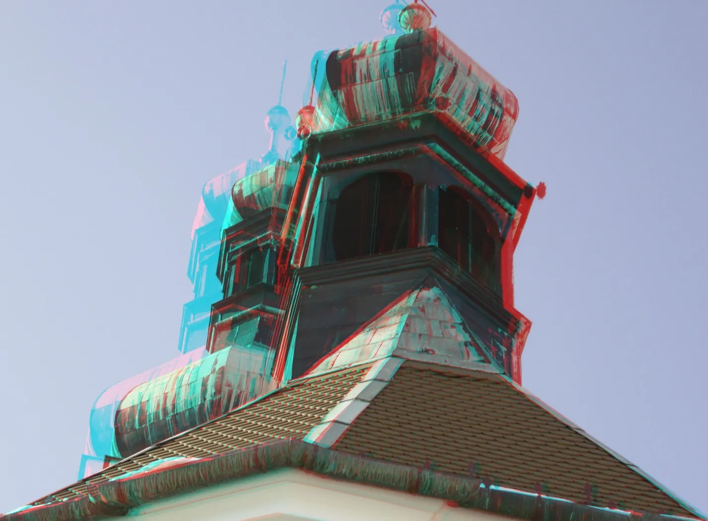
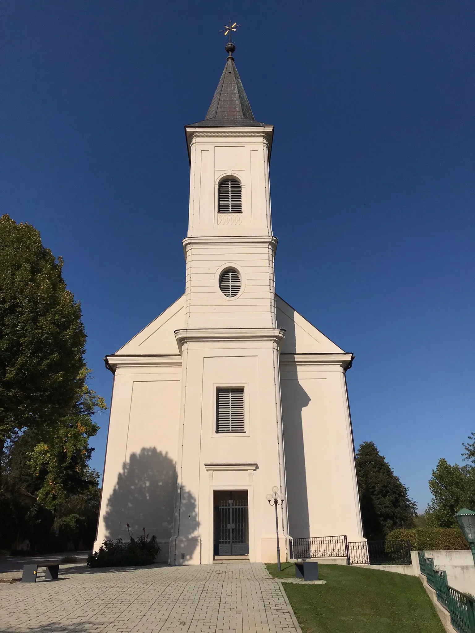
ToronyVillageTorony is a popular tourist spot with a medieval castle and an observation tower. Climb up the tower for a breathtaking view of the surrounding area.
73 km
73 km
GencsapátiVillageGencsapáti is the starting and ending point of the route. This charming village is known for its historic buildings and peaceful surroundings. Take some time to explore the village before or after your ride.
73 km
73 km
Finish: Gencsapáti Village centerGencsapáti: Road cycling in the charming countryside of Gencsapáti, Hungary.
Cycling routes nearby: