Enchanting Bray to Shankill Route
A road cycling route starting from Bray
Embark on an enchanting journey from Bray to Shankill on this 62km road cycling route.
Map
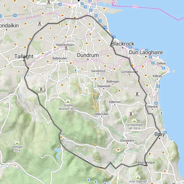
Prepare to be enchanted by this stunning road cycling route from Bray to Shankill. With a total ascent of 644m, you'll encounter challenging climbs like Sugarlump and Montpelier Hill while enjoying breathtaking views. At the 31km mark, you'll reach Tallaght, renowned for its Royal Irish Academy. The highlight of this route is undoubtedly Shankill, a hidden gem with its own unique charm. Explore the village's picturesque streets, quaint shops, and cozy cafes before ending your adventure. The Bray to Shankill route promises an unforgettable cycling experience.
road
62 km
644 m
Tough
Route profile
Highlights on the route
0 km
0 km
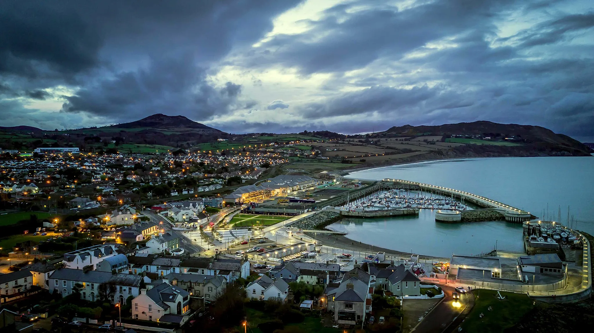
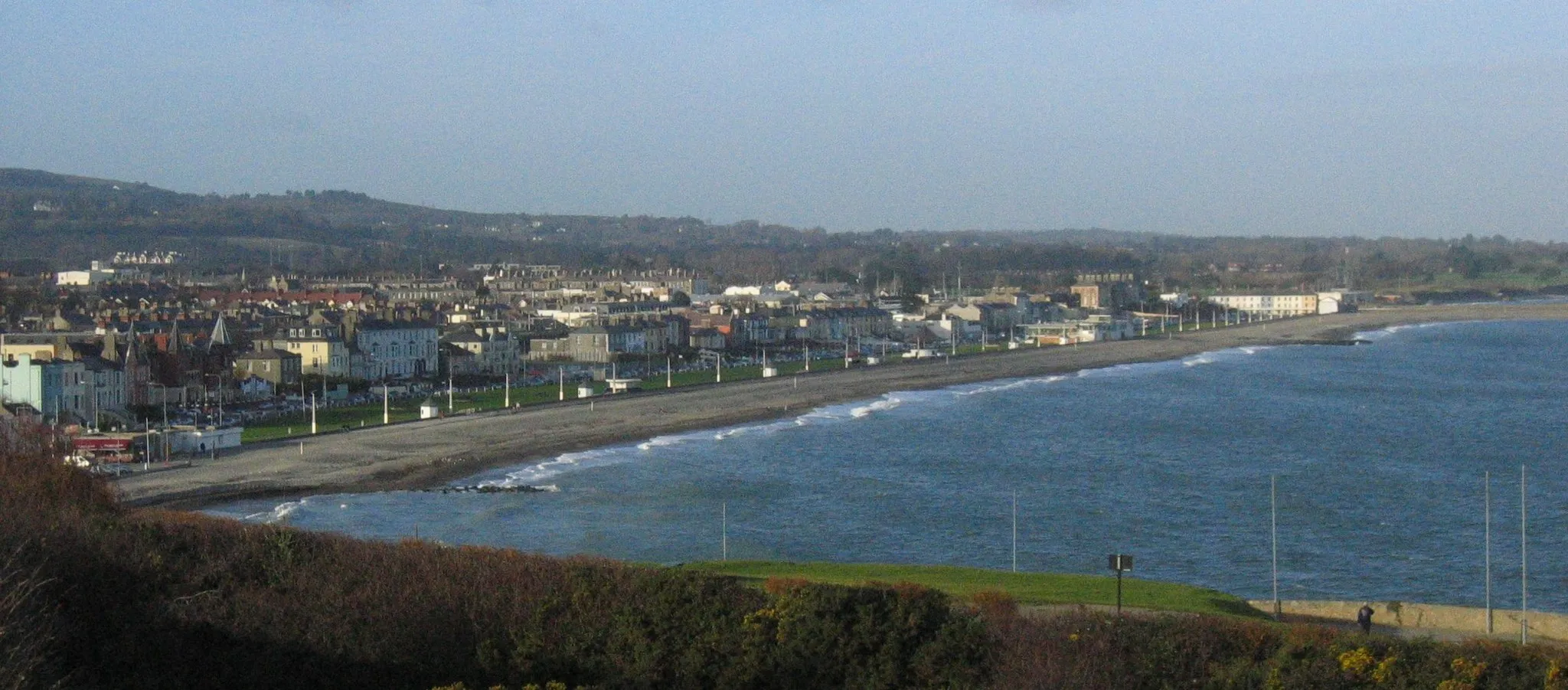
Start: Bray City centerBray: Coastal cycling and epic mountain climbs near vibrant Bray.
Located in the Eastern and Midland region of Ireland, Bray is a vibrant locality with plenty to offer cyclists. Road cyclists can enjoy scenic routes along the coast, with stunning views of the Irish Sea. The locality is also a gateway to the Wicklow Mountains, a famous cycling destination with challenging climbs such as Sally Gap. Gravel cyclists will find numerous paths to explore in the nearby Wicklow Mountains National Park. Bray's lively atmosphere, combined with its proximity to stunning natural landscapes, make it an attractive destination for cyclists of all levels.0 km
0 km
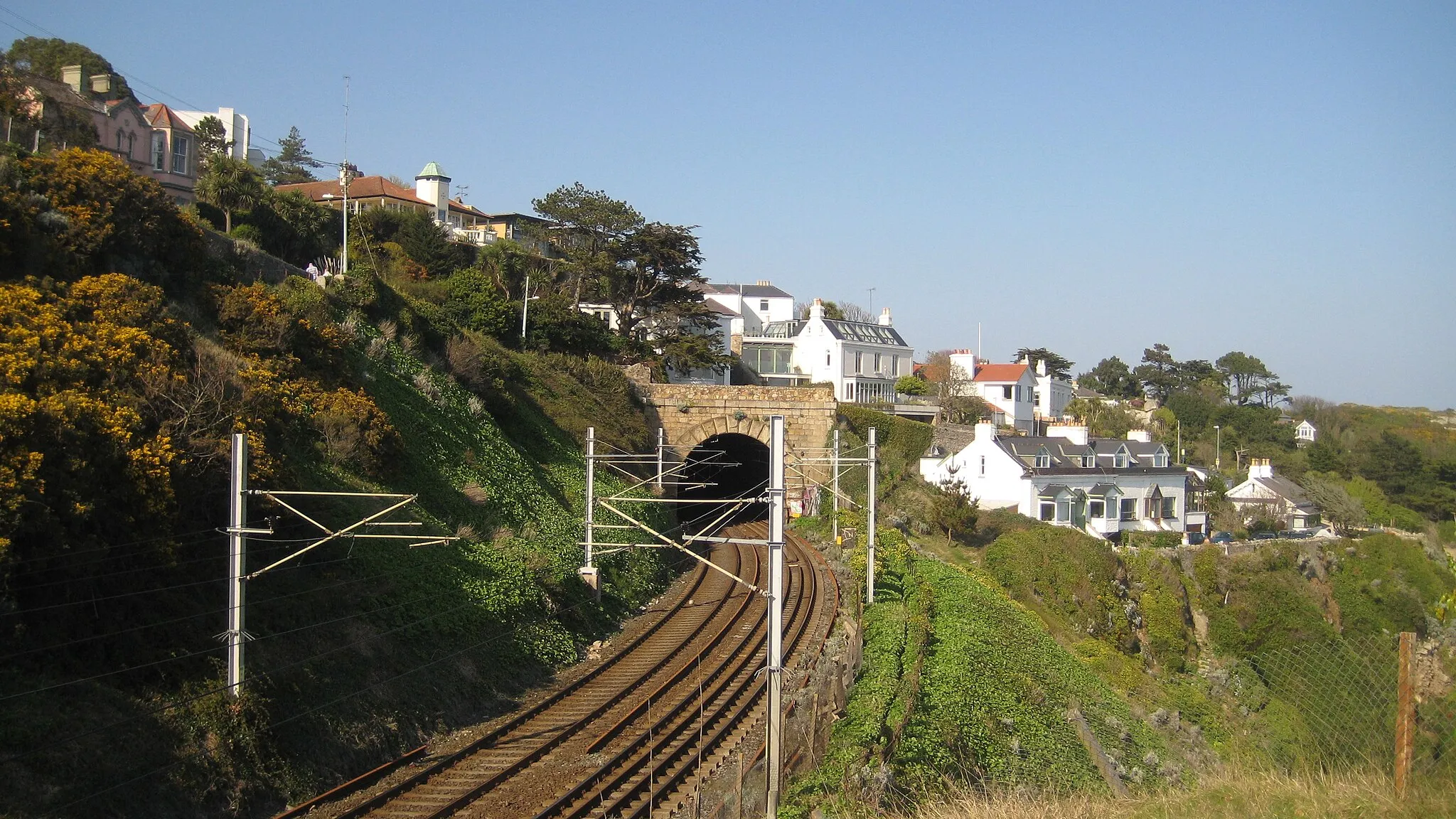
BrayTownBray, the starting point of the route, offers stunning views of the coast and the iconic Bray Head cliff.
6 km
6 km
Sugarlump323 mPeakSugarlump presents a challenging climb with rewarding panoramic views at the top.
18 km
18 km
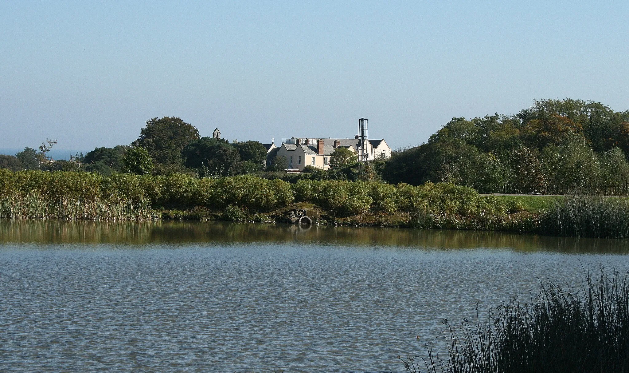
Glencree German War CemeteryAttractionThe Glencree German War Cemetery is a solemn reminder of Ireland's World War II connections.
25 km
25 km
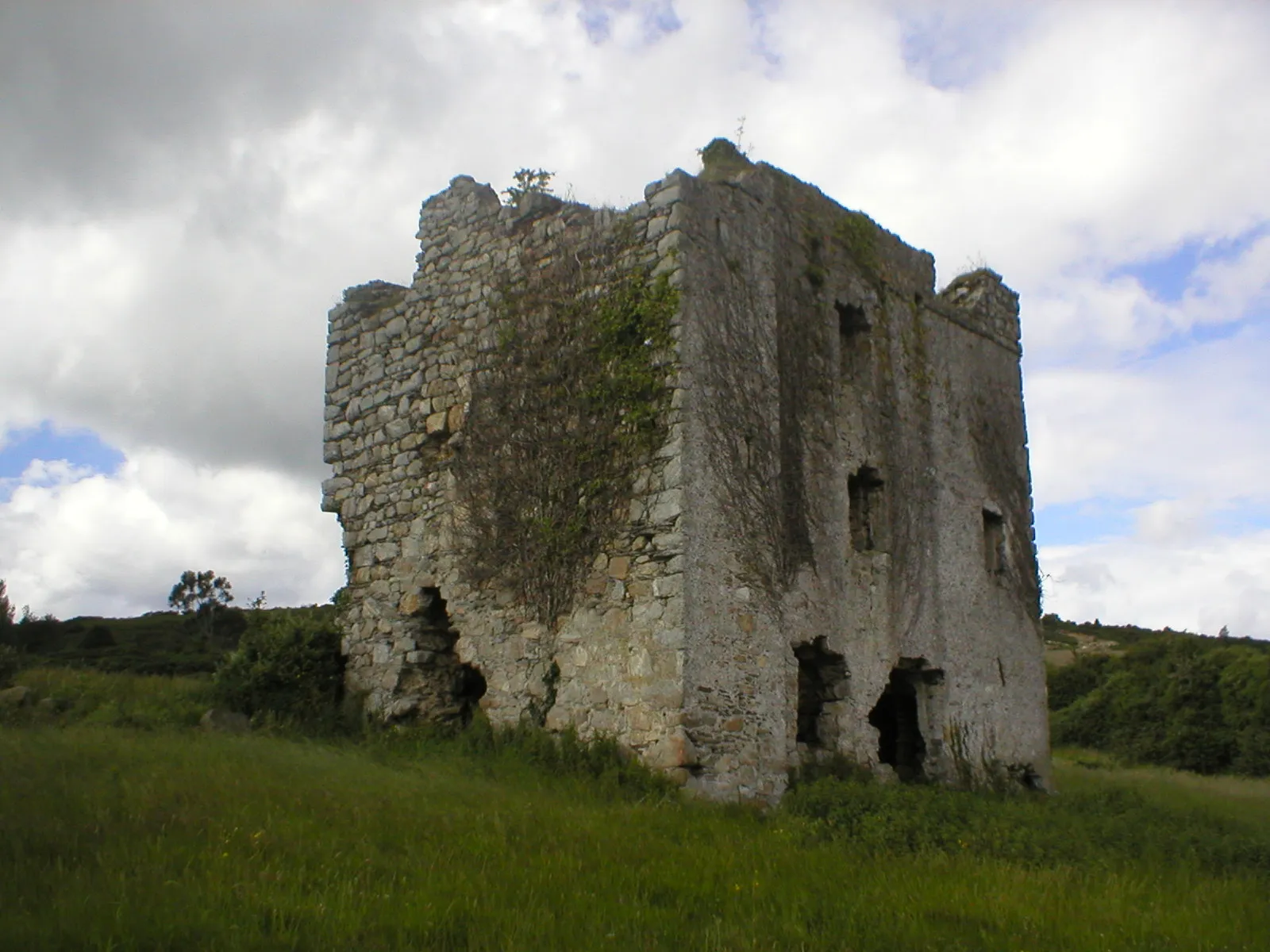
Montpelier Hill383 mPeakMontpelier Hill, also known as the Hell Fire Club, offers mysterious folklore and incredible vistas.
31 km
31 km
TallaghtTownTallaght is home to the prestigious Royal Irish Academy and boasts a rich artistic heritage.
41 km
41 km
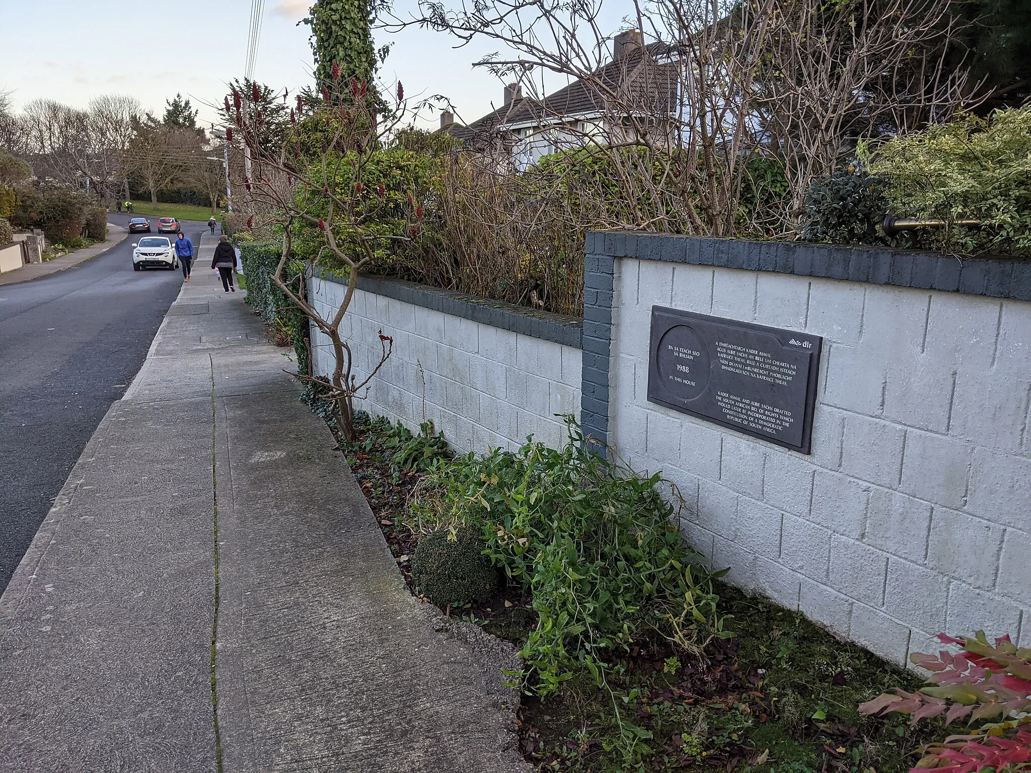
Royal Irish AcademyAttractionThe Royal Irish Academy showcases a wealth of historical and cultural treasures.
53 km
53 km
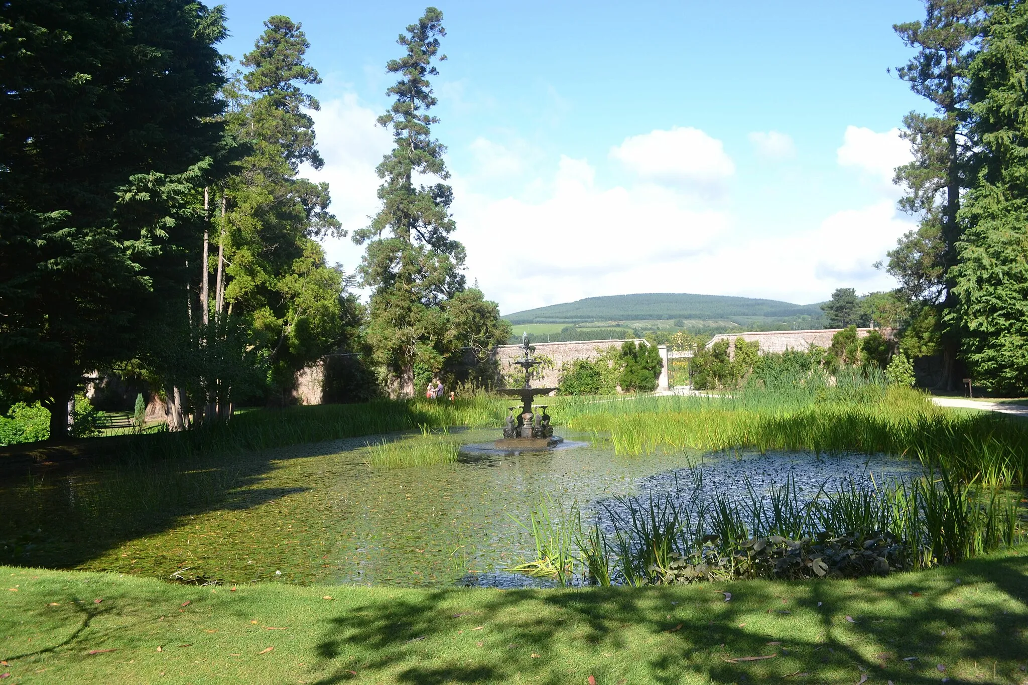
CabinteelySub-urbCabinteely features a beautiful park and a lively village atmosphere.
59 km
59 km
ShankillVillageShankill is a hidden gem with picturesque streets, charming shops, and inviting cafes.
62 km
62 km
Finish: Bray City centerBray: Coastal cycling and epic mountain climbs near vibrant Bray.
Cycling routes from Bray:
Cycling routes nearby: